Elevation map of Fraser Valley F, BC, Canada
Location: Canada > British Columbia > Fraser Valley >
Longitude: -122.47215
Latitude: 49.5807478
Elevation: 1254m / 4114feet
Barometric Pressure: 87KPa
Elevation Map:
Satellite Map:
Related Photos:
A little detour to Golden Ears on the way back. Can't wait to go there soon for a hike. Looks amazing.

GOLDEN EARS, AS SEEN FROM LANGLEY, BC
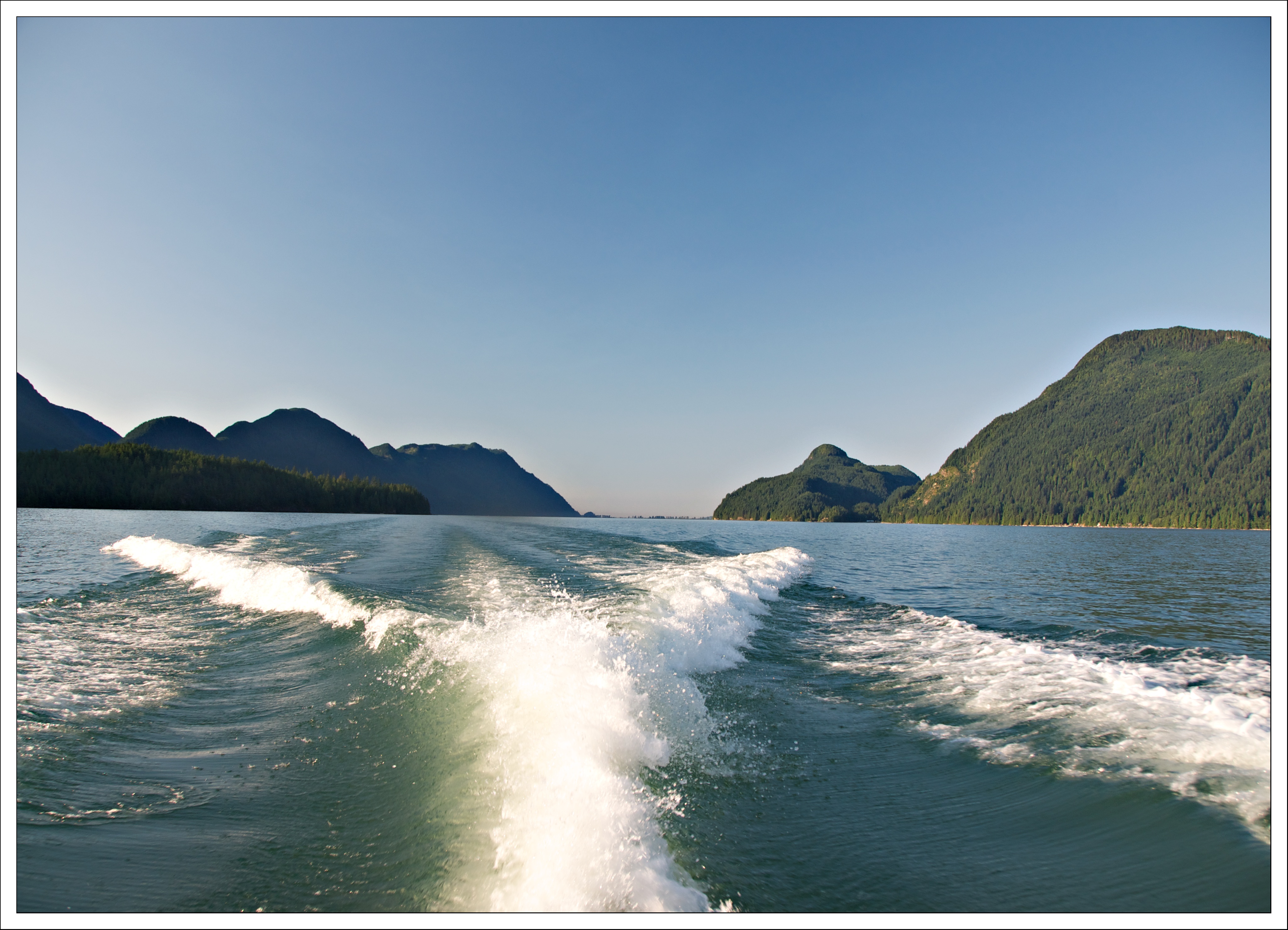
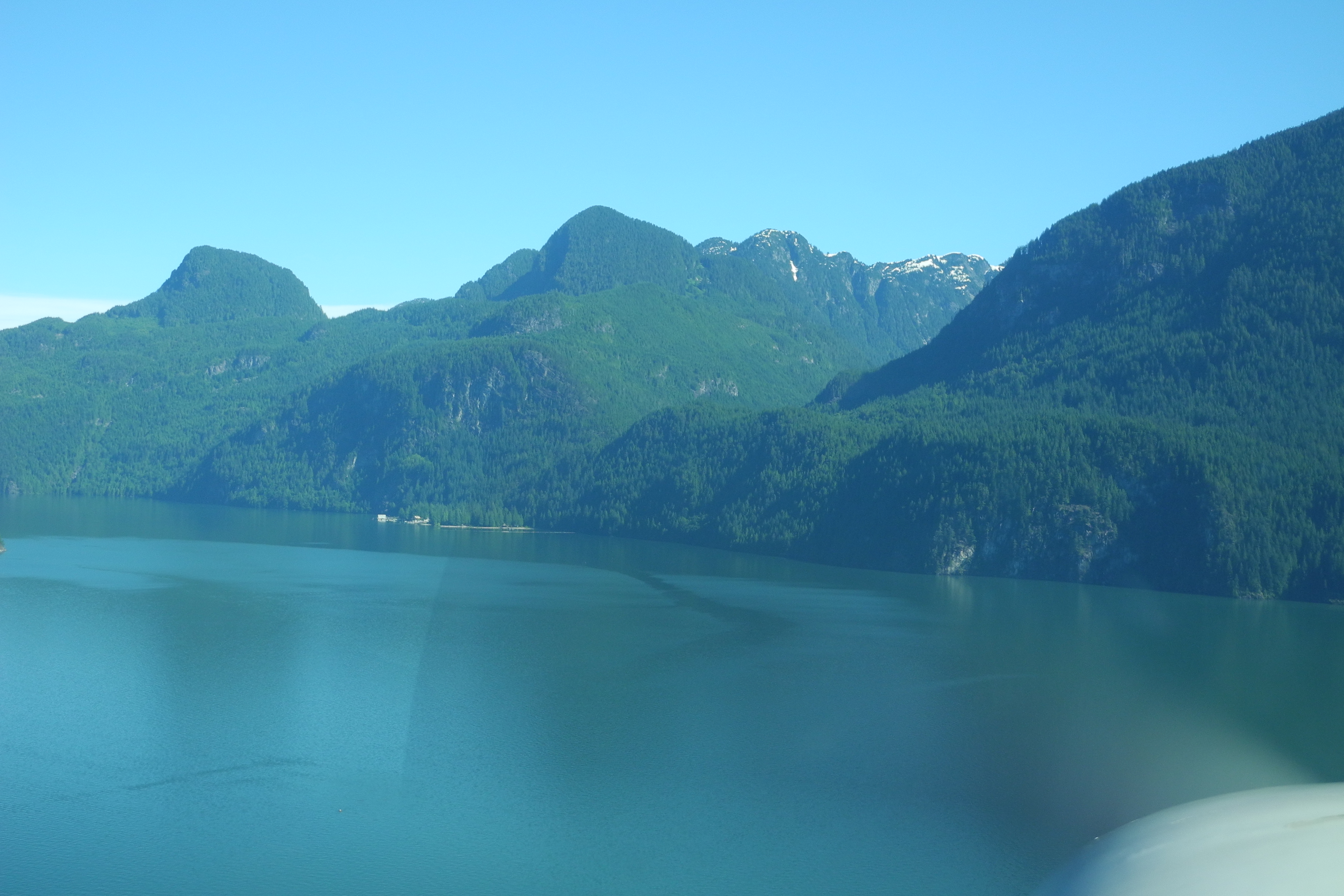
Leaving the Pitt
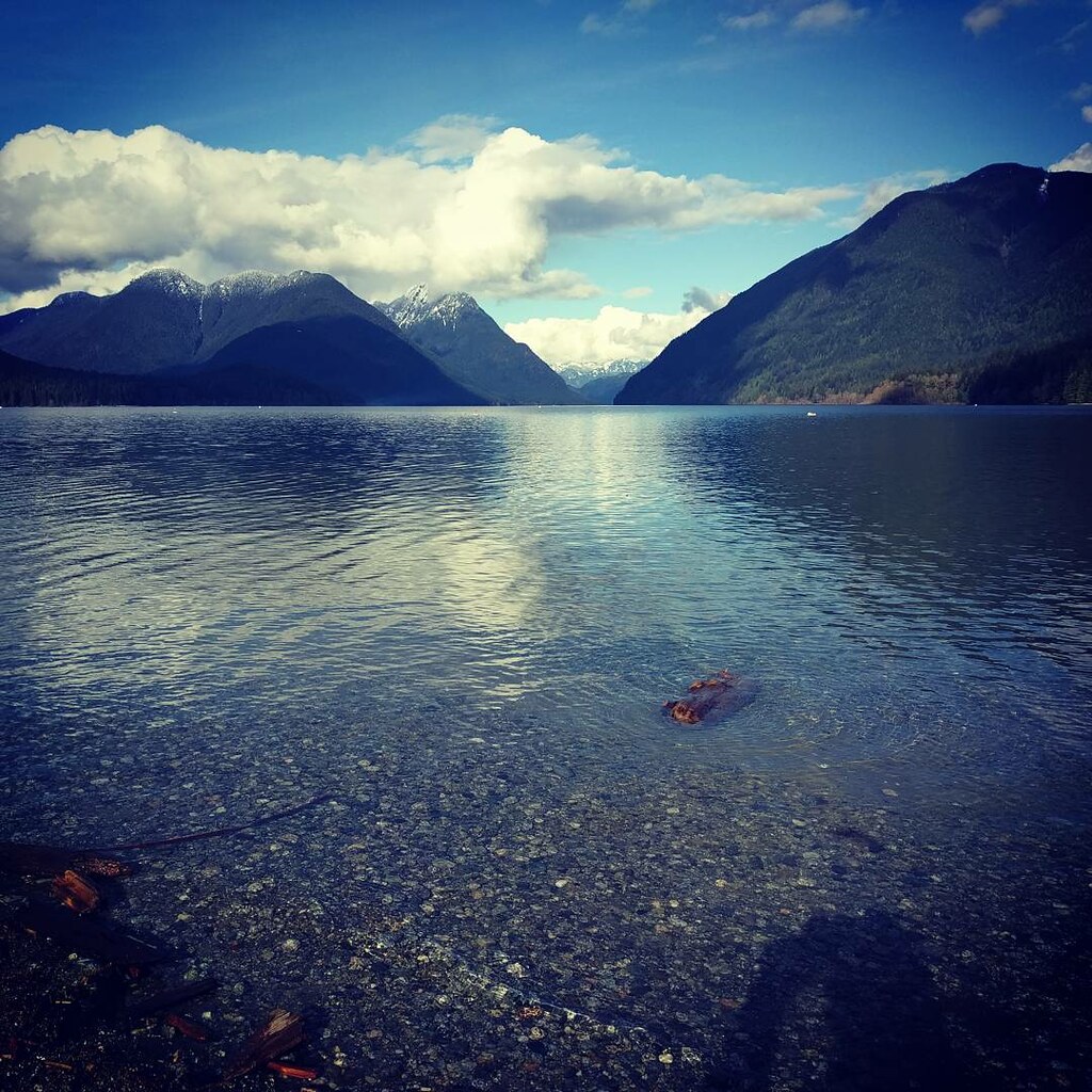
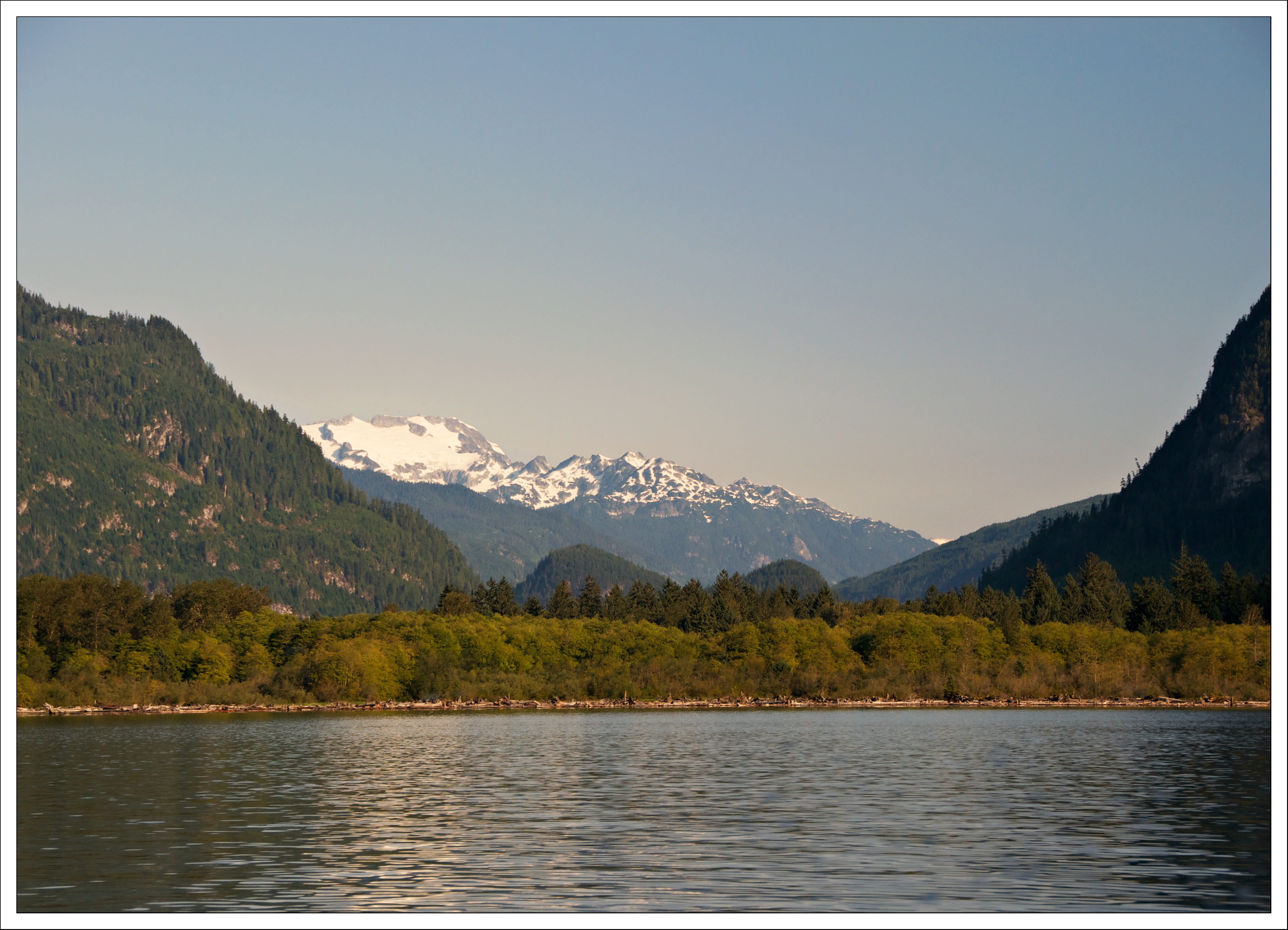
Pitt Lake
Pitt Lake
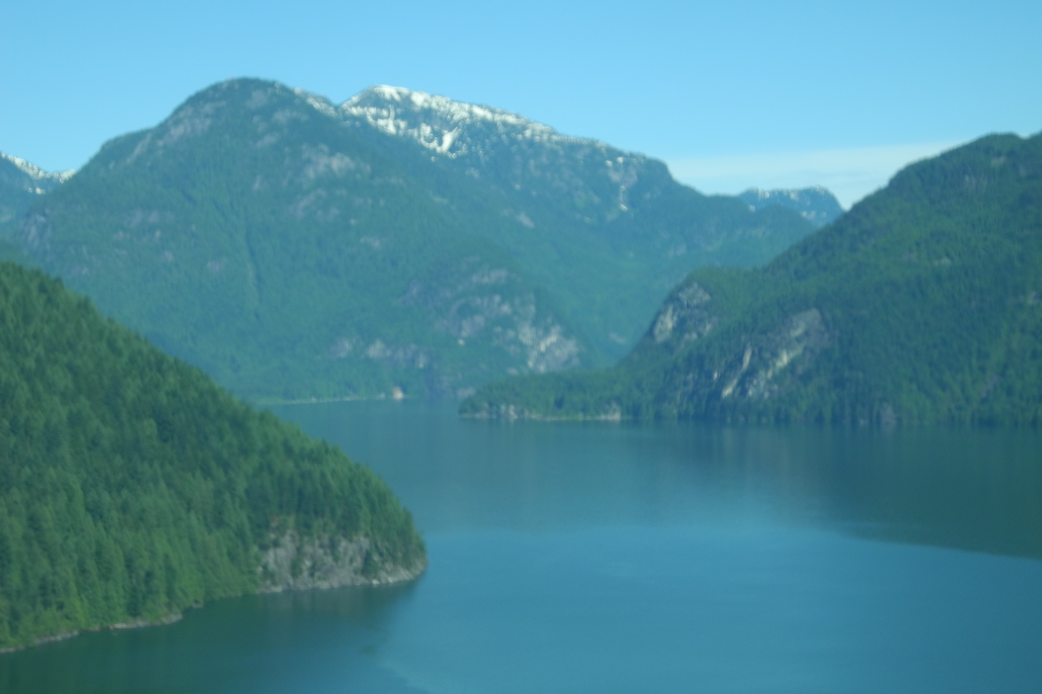
Pitt Lake
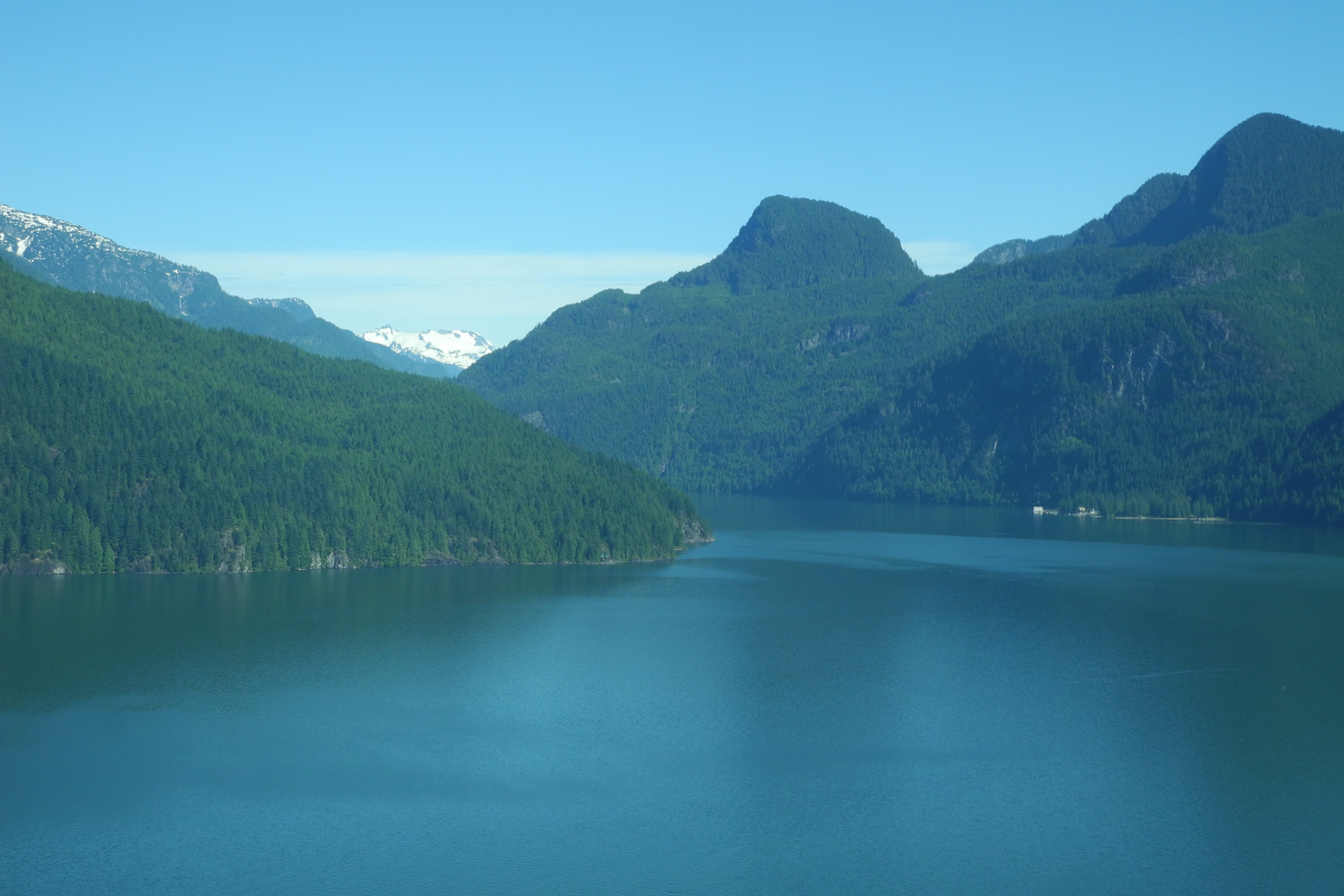
Pitt Lake
Pitt Lake
Pitt Lake
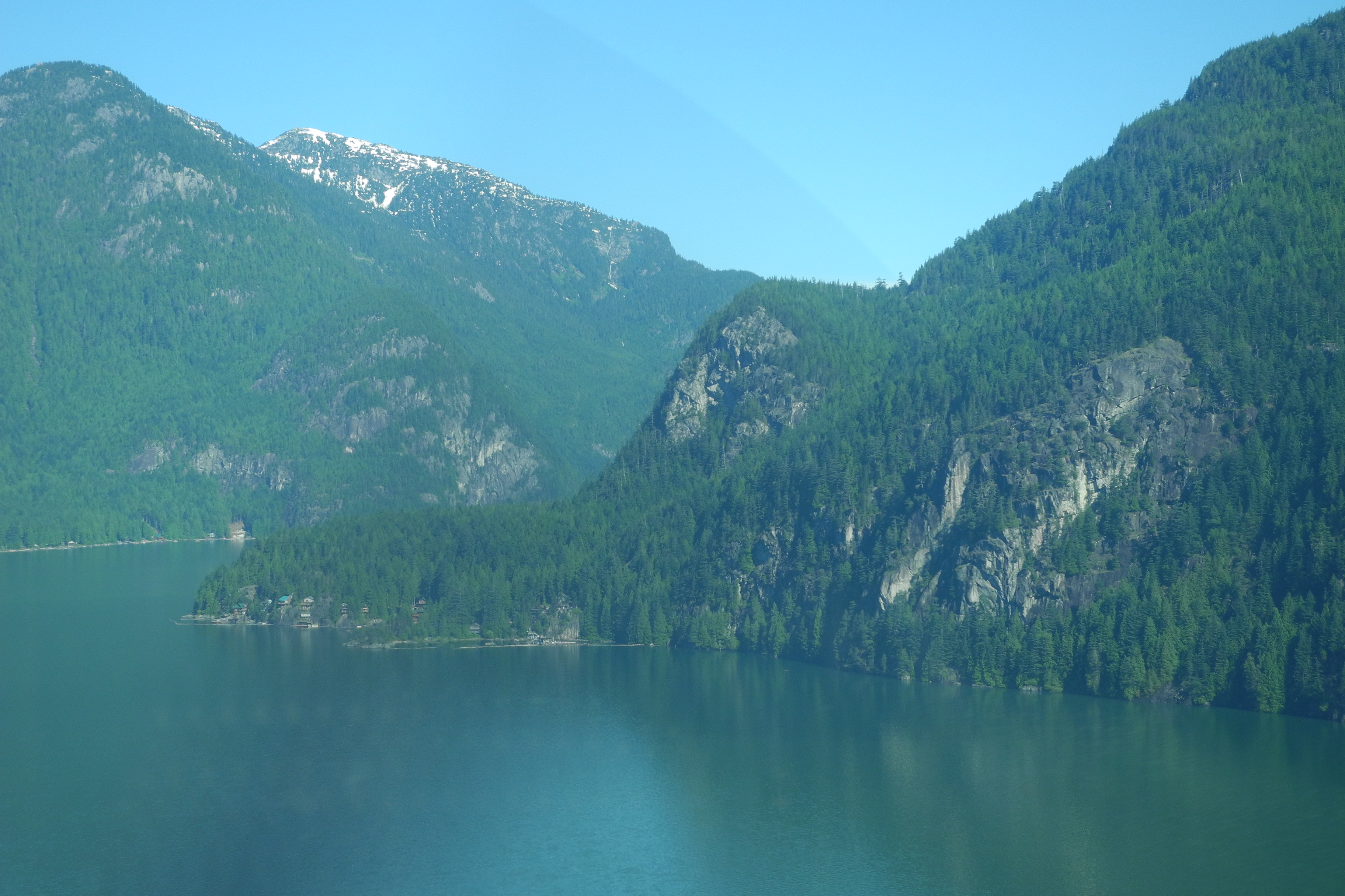
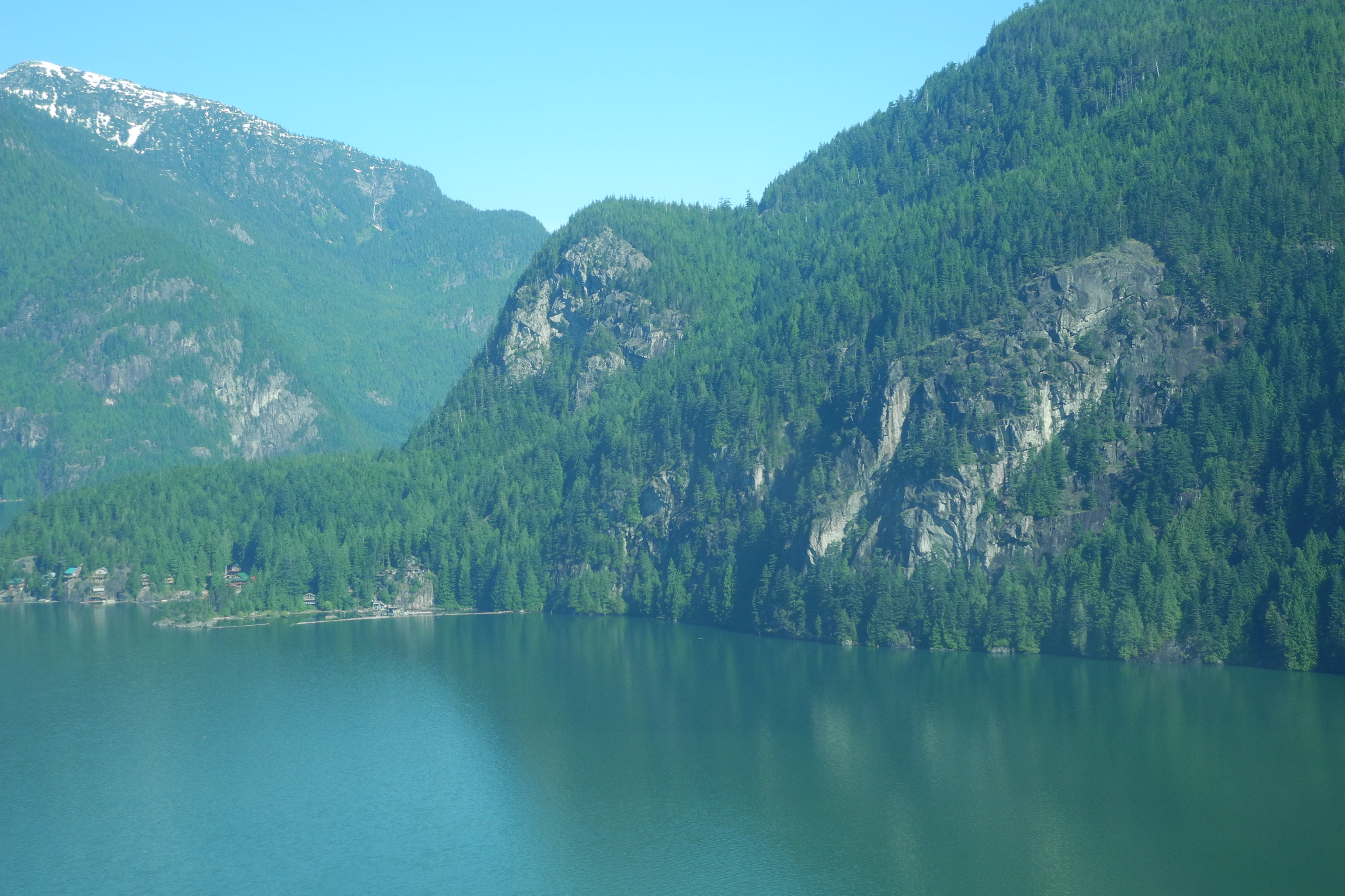
Pitt Lake
Pitt Lake
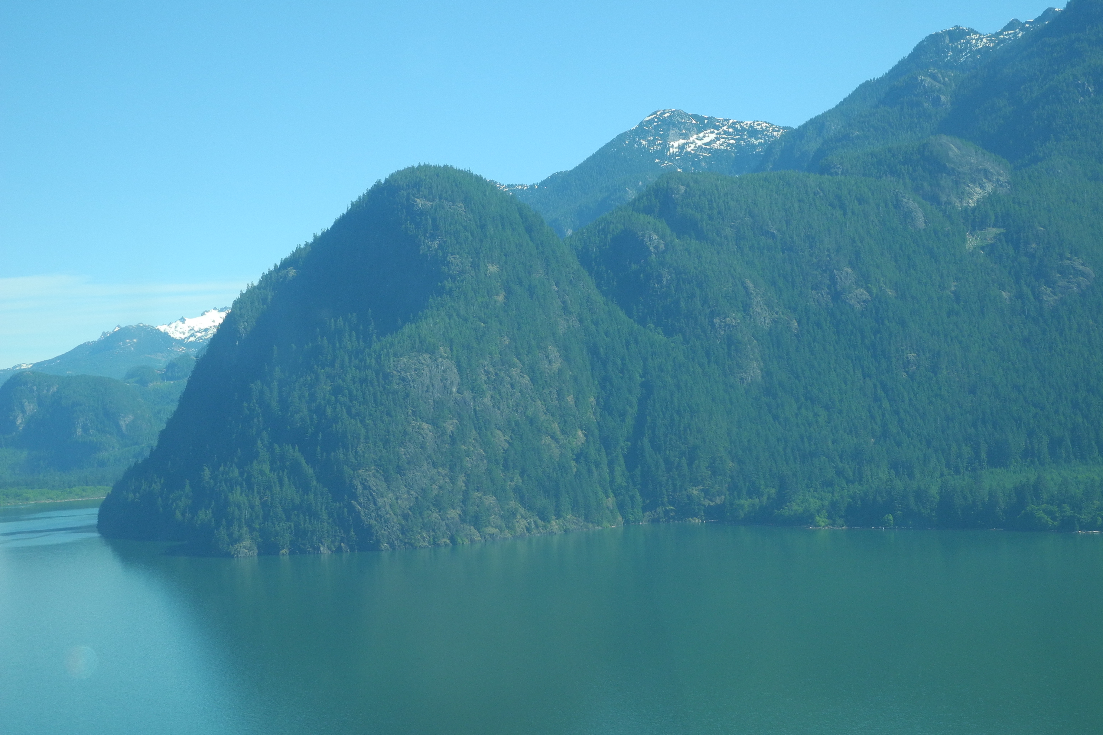
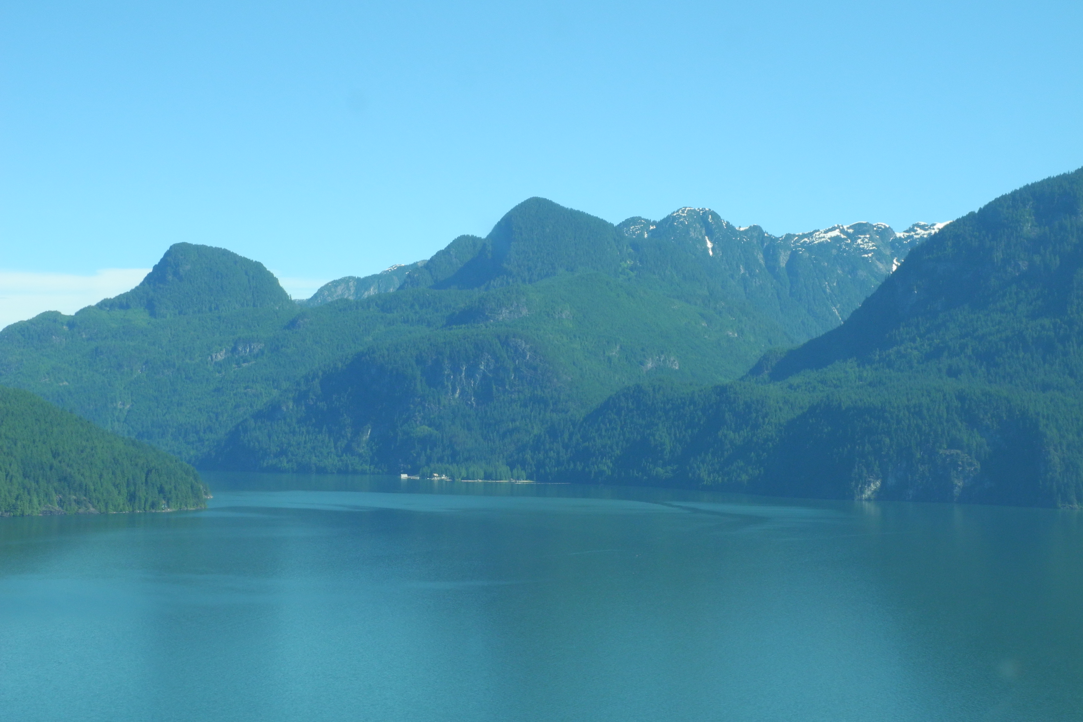
Mountains at Pitt Lake

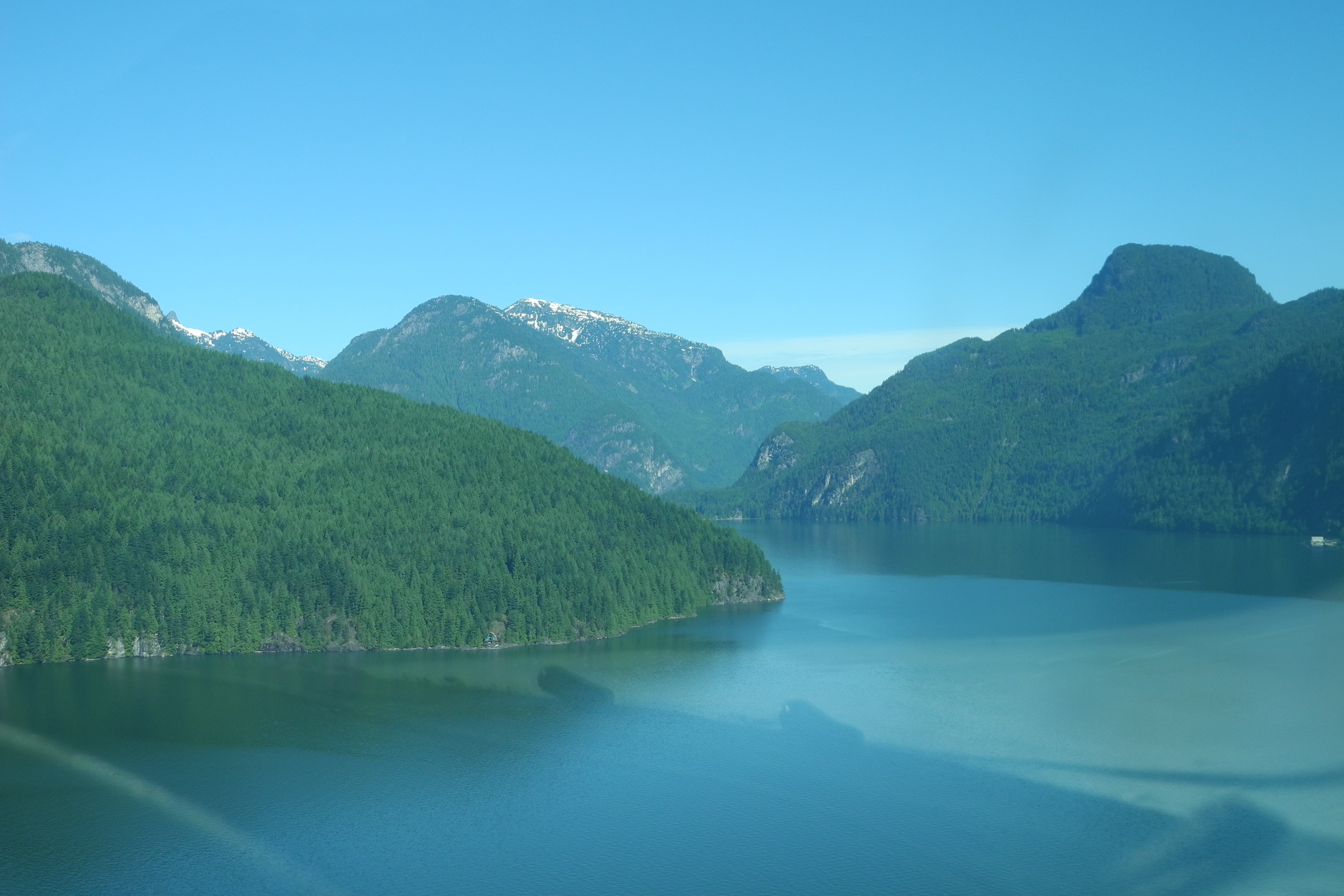
Pitt Lake
Pitt Lake
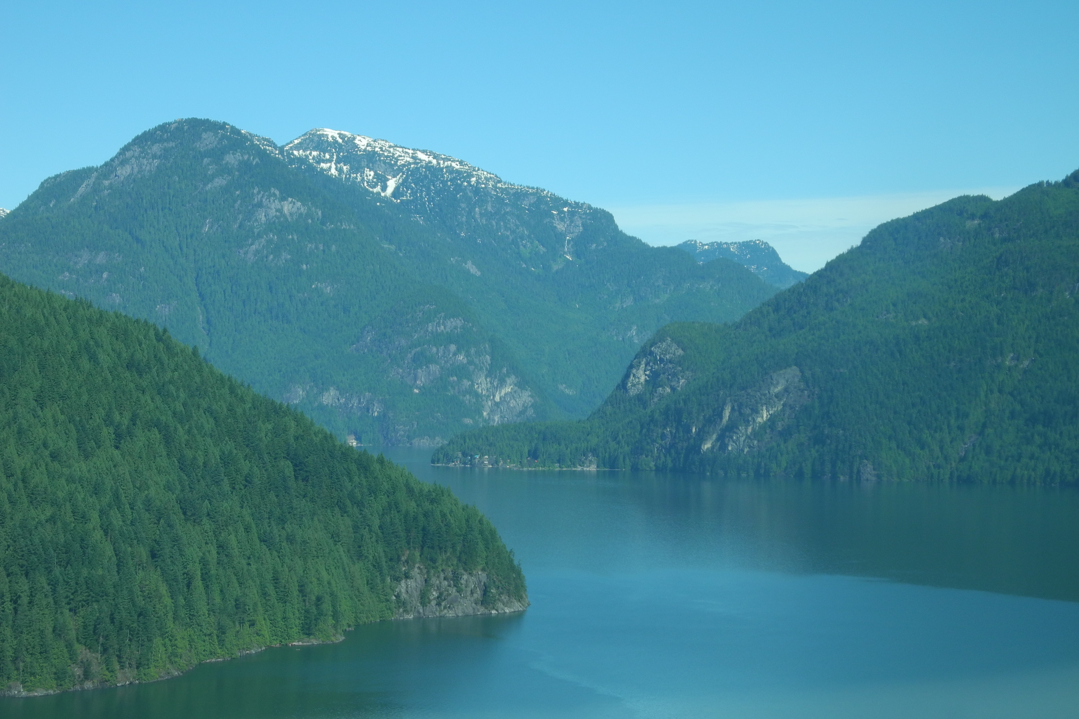
Upper Pitt Lake
Pitt Lake
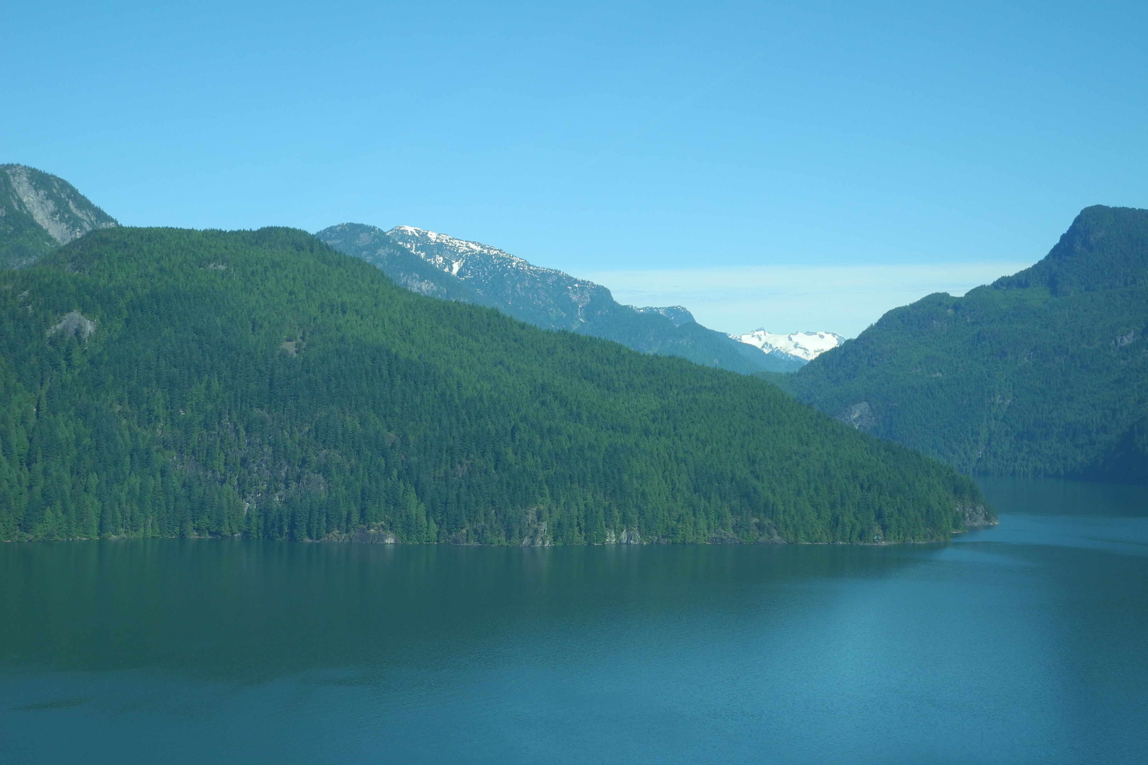
Pitt Lake
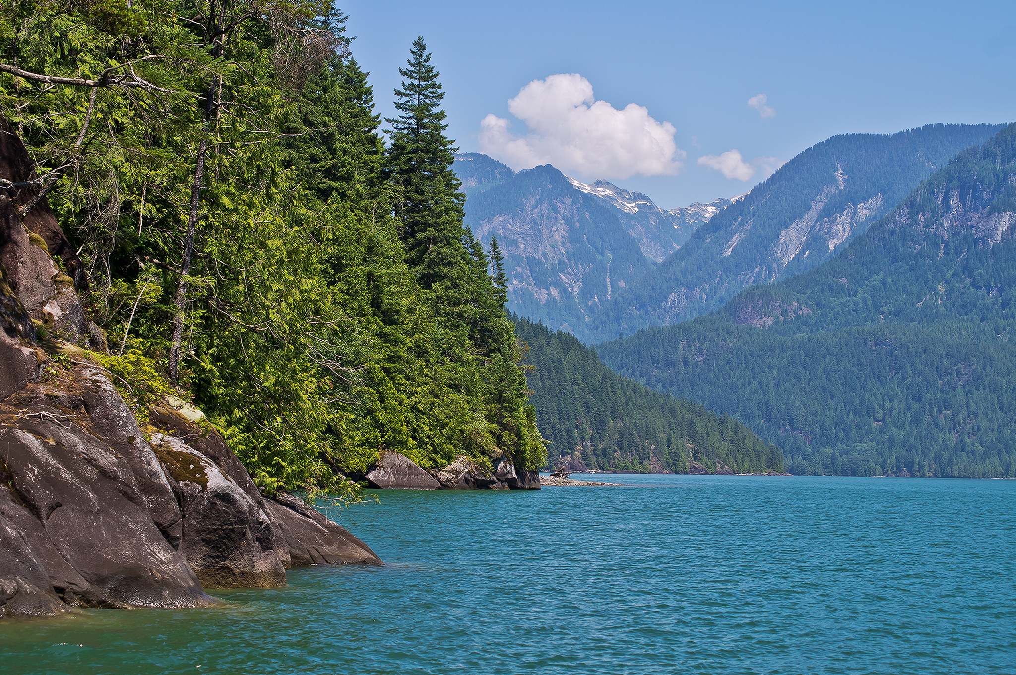
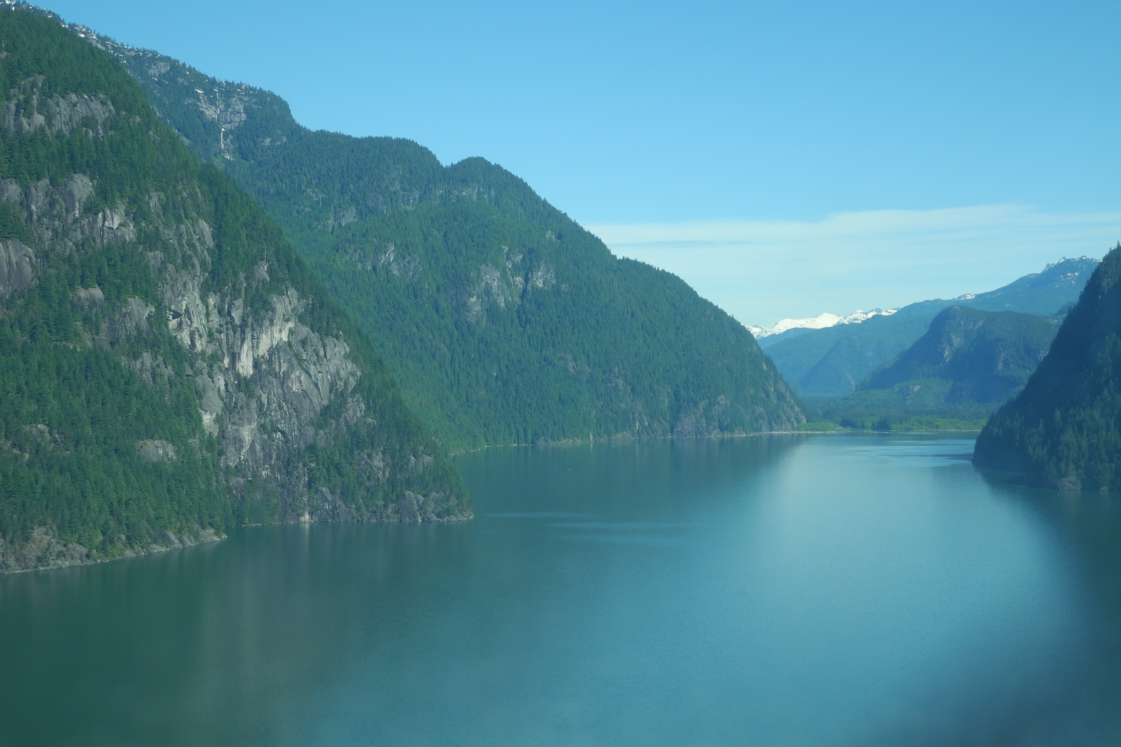
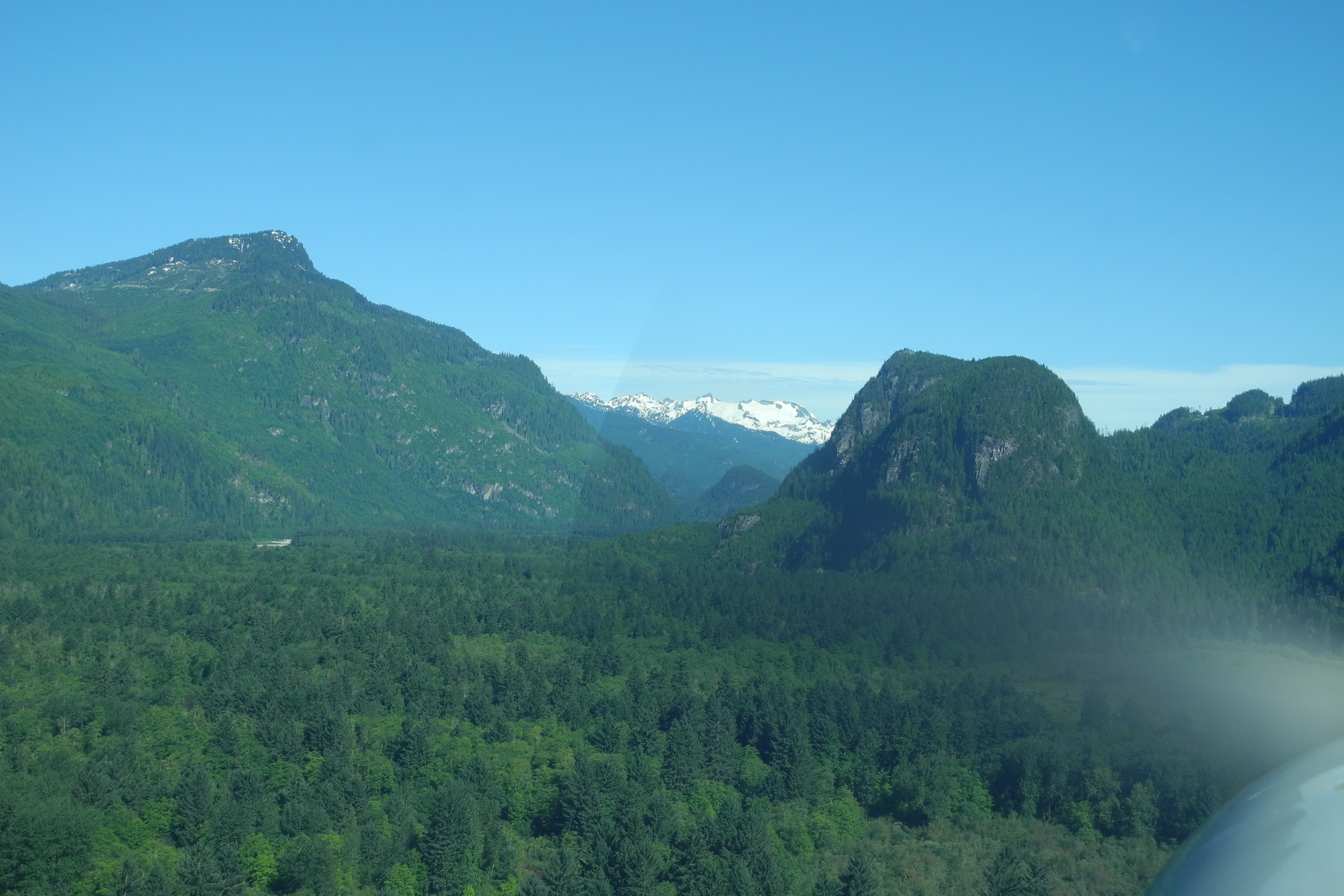
Pitt Lake 1251hr
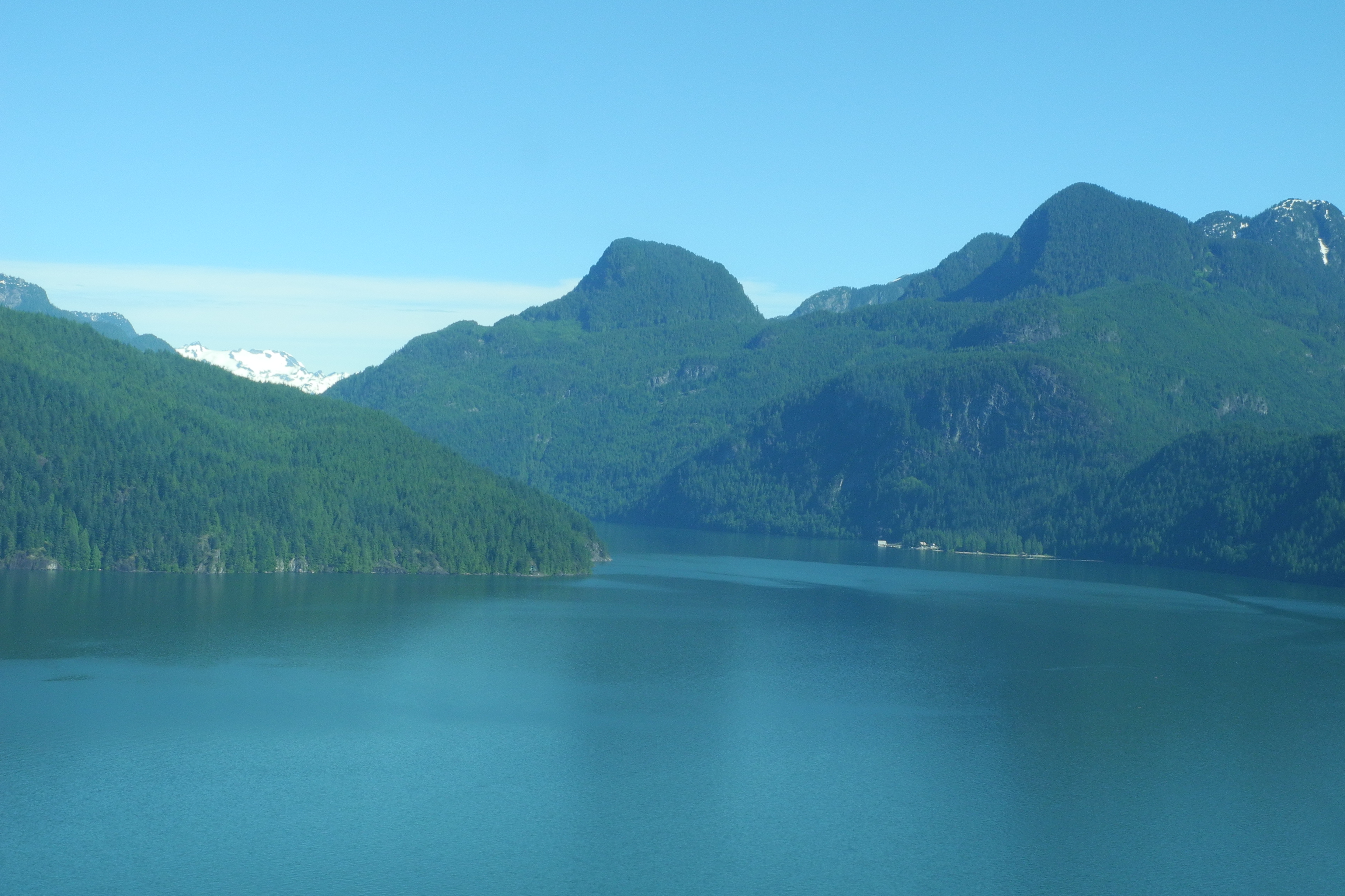
Pitt Lake
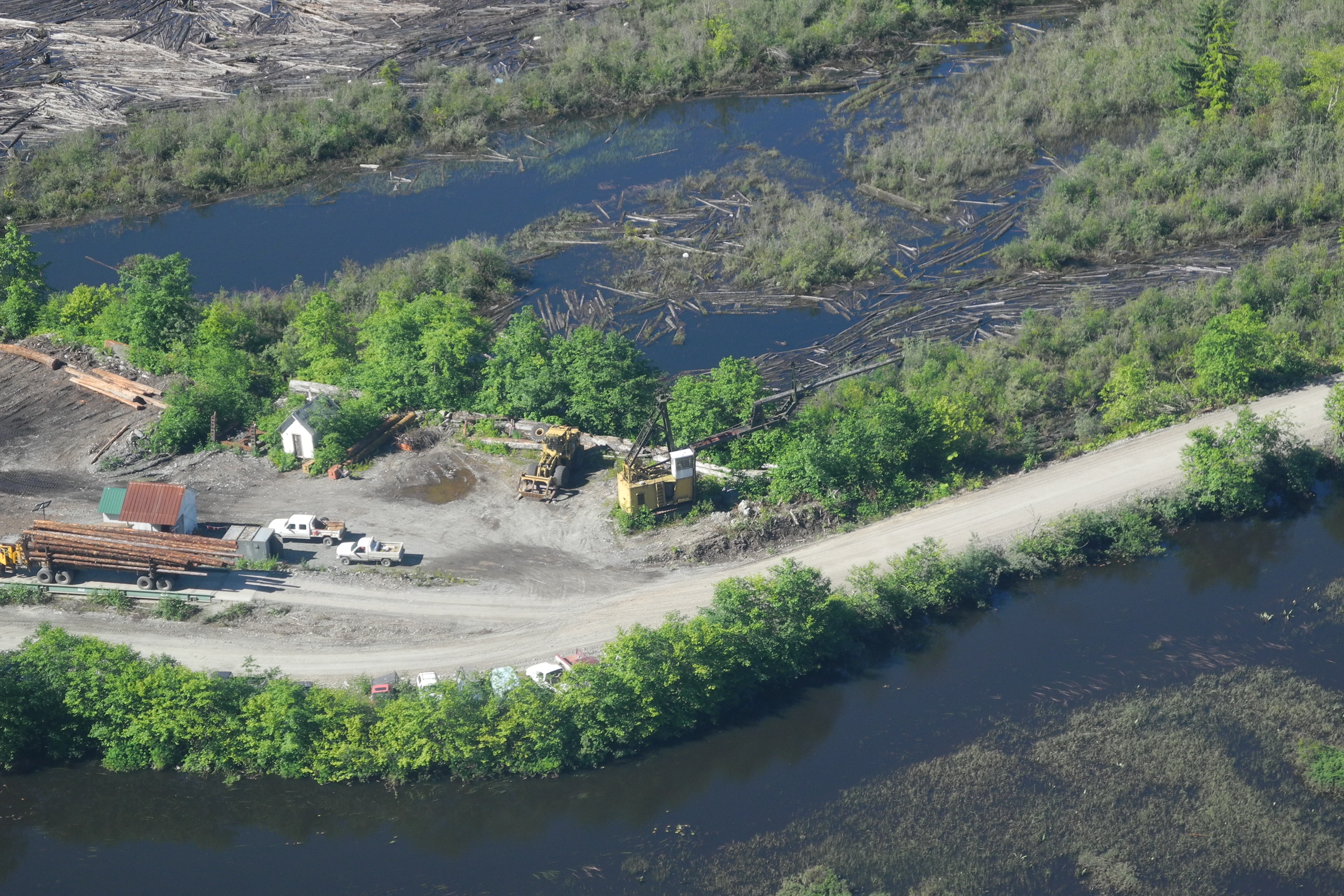
Logging Camp

Pitt Lake
Topographic Map of Fraser Valley F, BC, Canada
Find elevation by address:

Places in Fraser Valley F, BC, Canada:
Mount Robie Reid
Golden Ears
Mamquam Mountain
Mount Judge Howay
Seux Rd, Fraser Valley F, BC V2V 0A5, Canada
V2v
Piluk Peak
Stave Lake Road
Beyer Road
Places near Fraser Valley F, BC, Canada:
Piluk Peak
Mount Robie Reid
Golden Ears
Widgeon Falls
Widgeon Creek
Pitt-addington Marsh
Coquitlam Mountain
Blue Mountain
14310 256 St
21770 Ladner Rd
Malcolm Knapp Research Forest
23365 142 Ave
23311 142 Ave
Marc Rd, Maple Ridge, BC V0M, Canada
23369 141 Ave
Alouette River Management Society
13030 Lilley Dr
13030 Lilley Dr
Golden Ears Provincial Park
13894 Silver Valley Rd
Recent Searches:
- Elevation of Corso Fratelli Cairoli, 35, Macerata MC, Italy
- Elevation of Tallevast Rd, Sarasota, FL, USA
- Elevation of 4th St E, Sonoma, CA, USA
- Elevation of Black Hollow Rd, Pennsdale, PA, USA
- Elevation of Oakland Ave, Williamsport, PA, USA
- Elevation of Pedrógão Grande, Portugal
- Elevation of Klee Dr, Martinsburg, WV, USA
- Elevation of Via Roma, Pieranica CR, Italy
- Elevation of Tavkvetili Mountain, Georgia
- Elevation of Hartfords Bluff Cir, Mt Pleasant, SC, USA