Elevation of Franklin, WI, USA
Location: United States > Wisconsin > Kewaunee County >
Longitude: -87.717261
Latitude: 44.3576548
Elevation: 232m / 761feet
Barometric Pressure: 99KPa
Elevation Map:
Satellite Map:
Related Photos:

Tower house (Mishicot, WI)
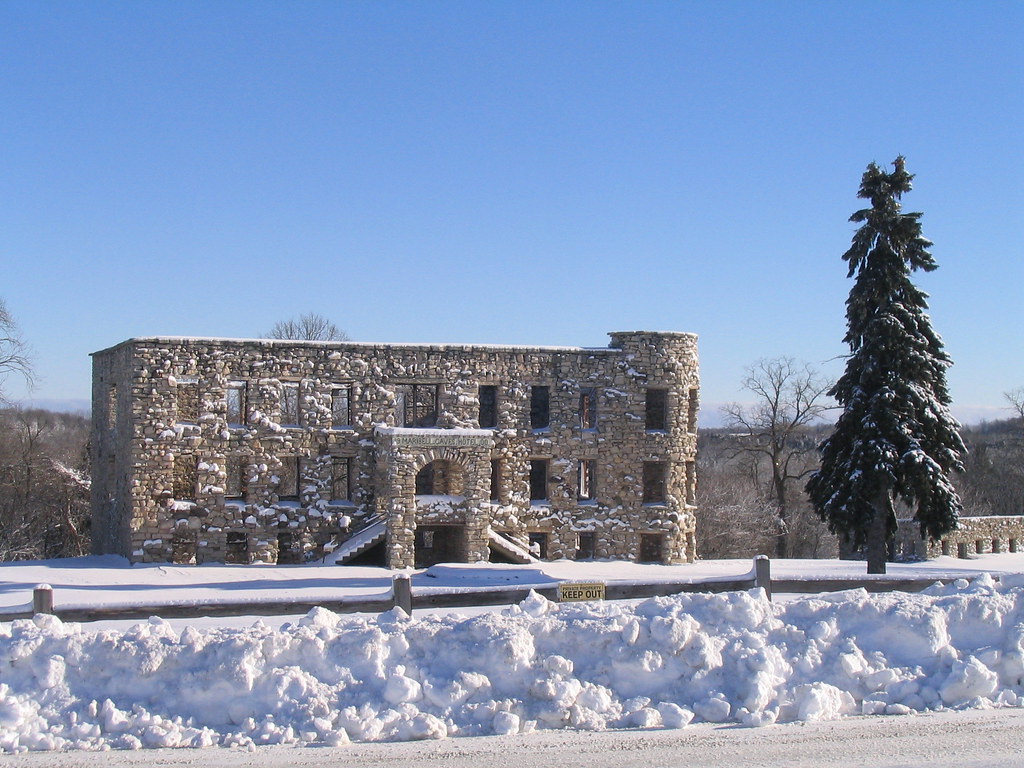
Maribel Caves Hotel

Maribel Grain Company

Remains of the Maribel Caves Hotel revisited

Denmark Cooperative Services

Denmark Cooperative Services
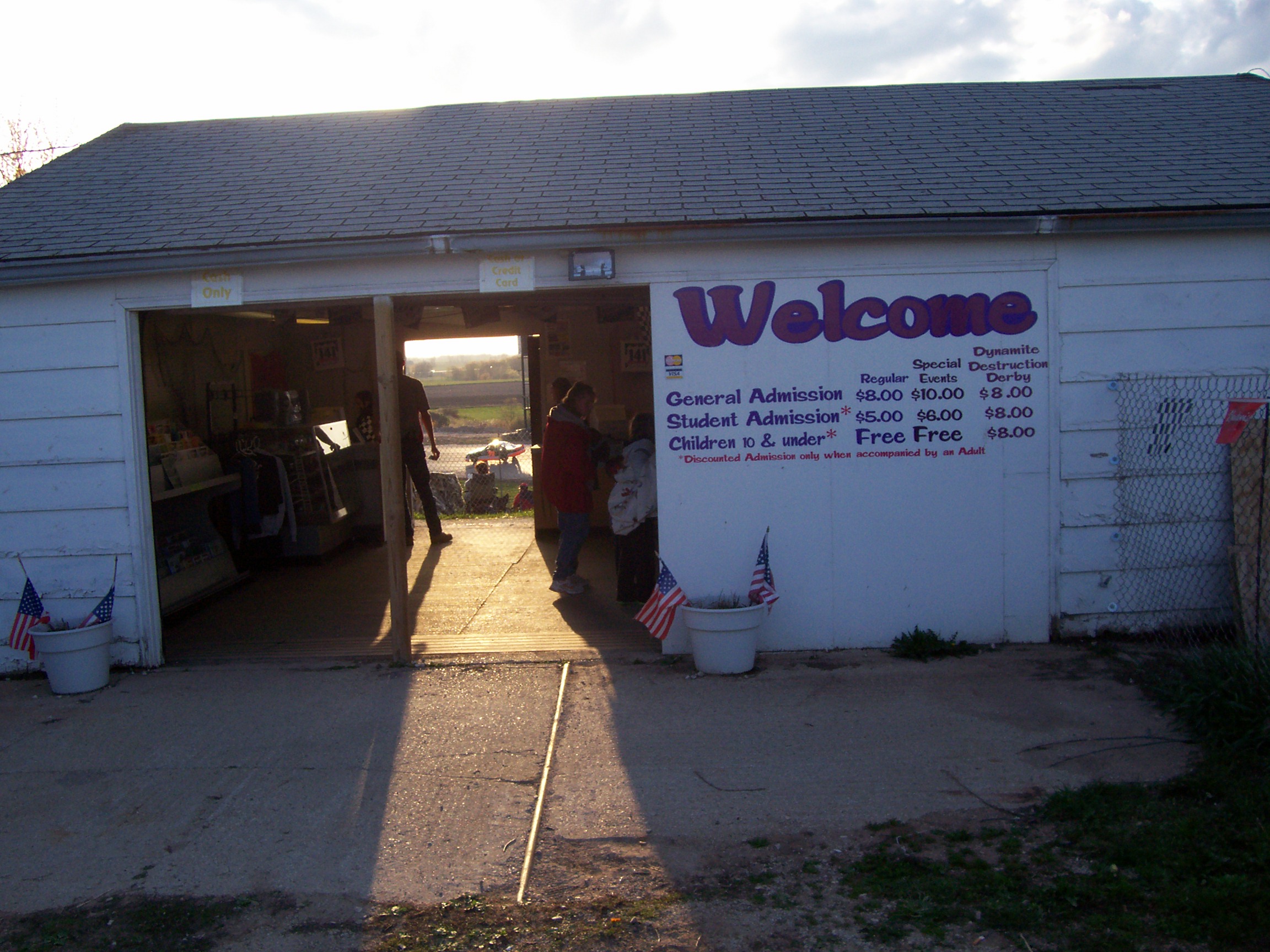
04.28.07 - 141 Speedway - Welcome to my 2007 tour

on the other side

Pretty Good View
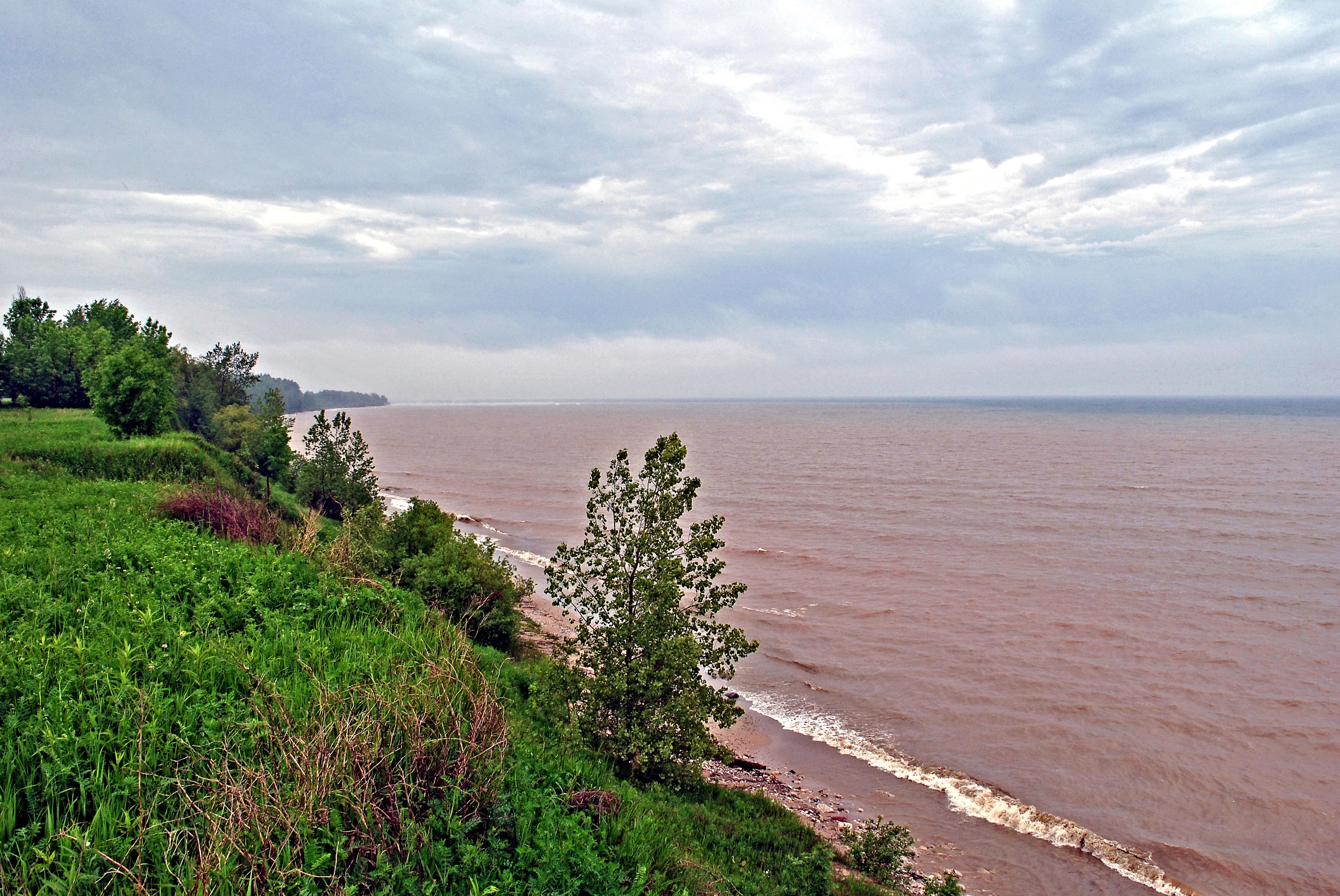
Two Creeks Buried Forest State Natural Area
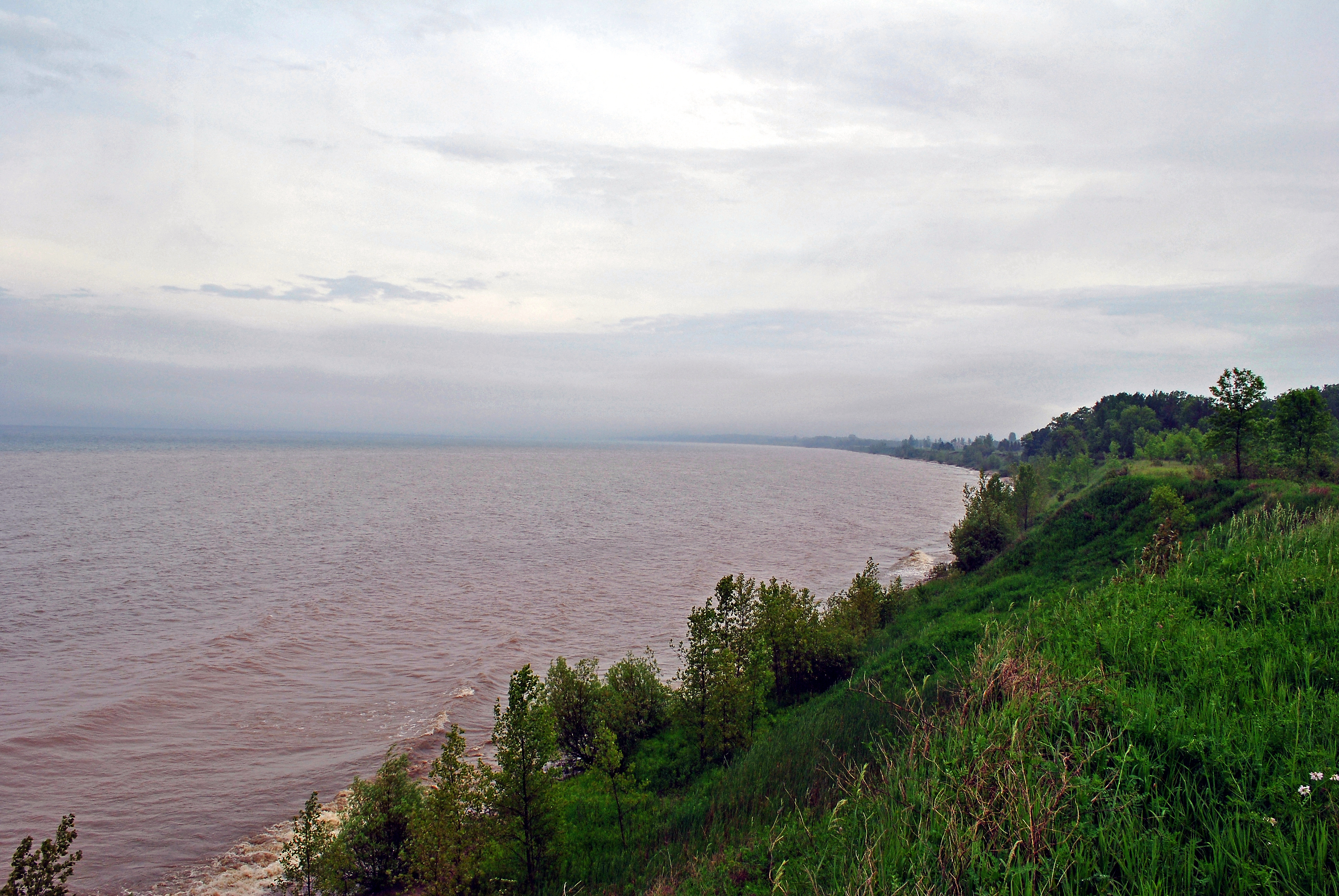
Two Creeks Buried Forest State Natural Area
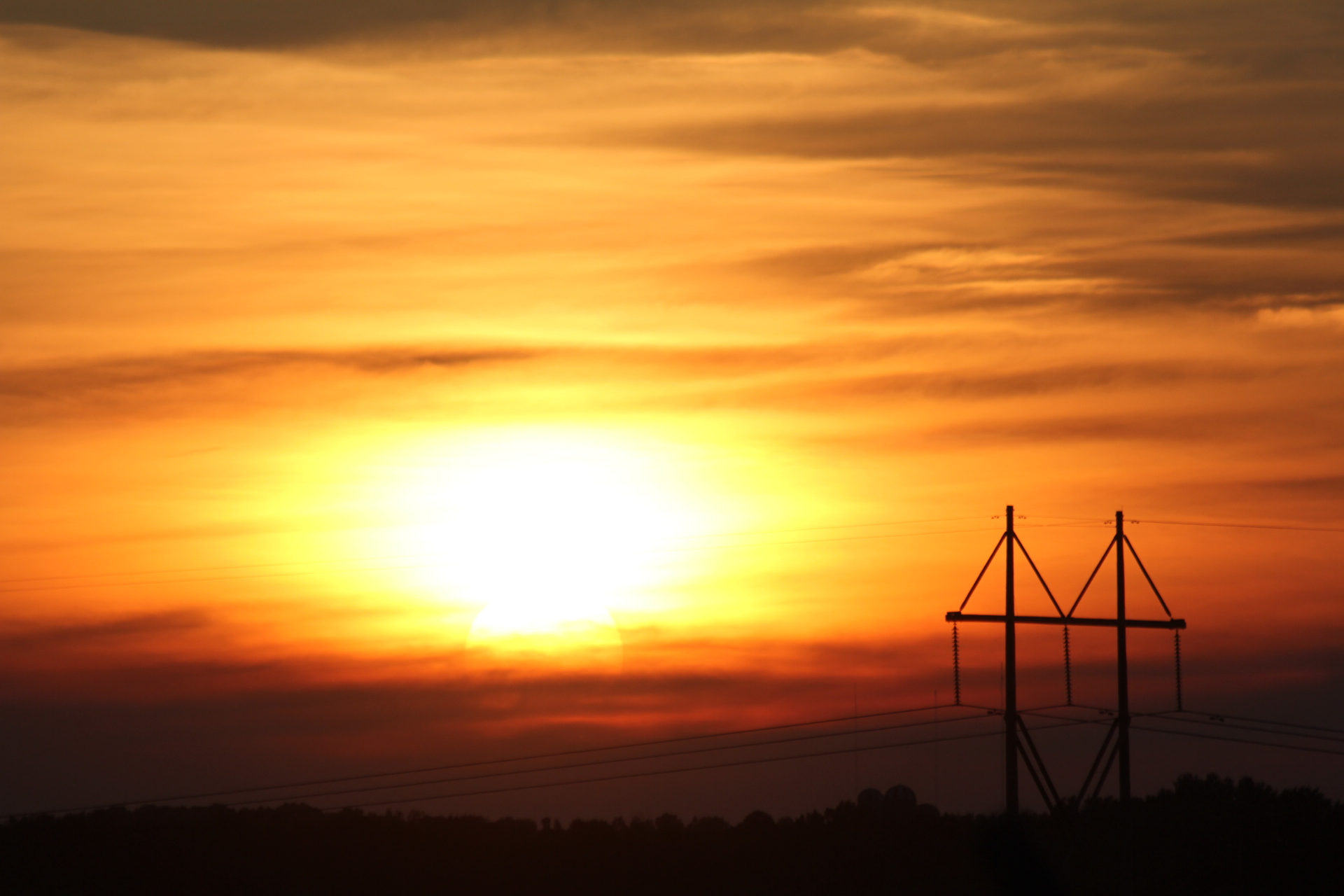
Power Pole in sunset

Love mornings like this! #trucking
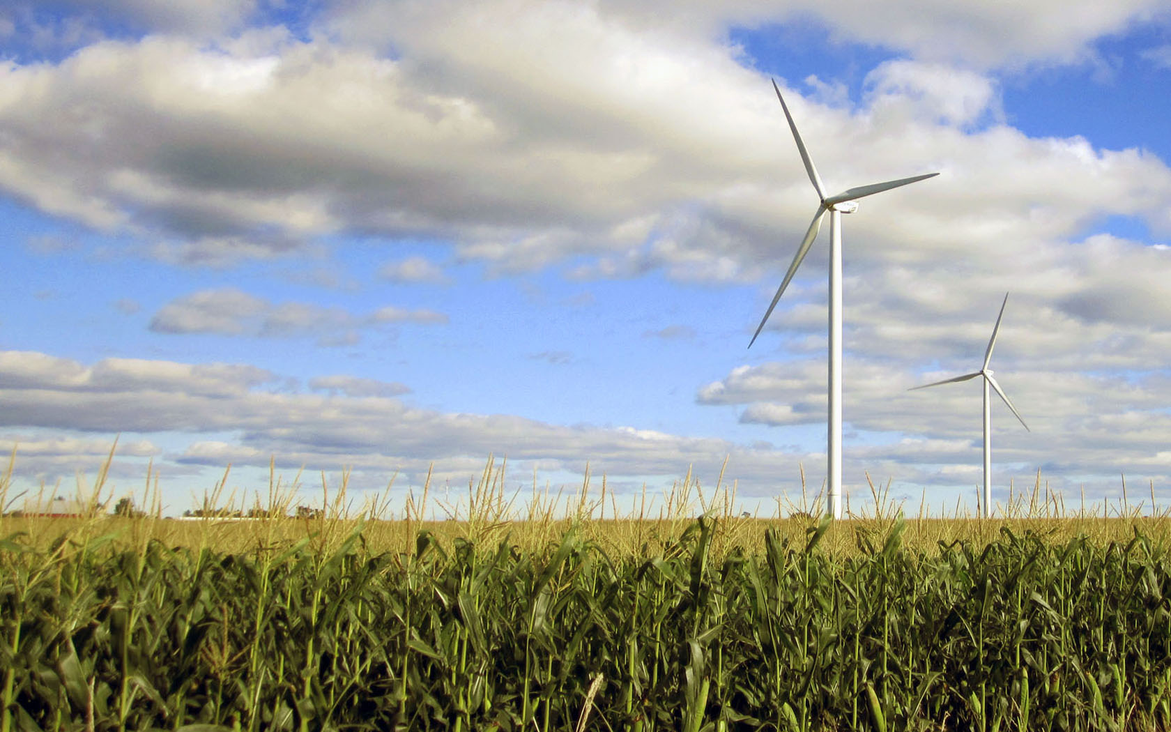
Wind Turbines
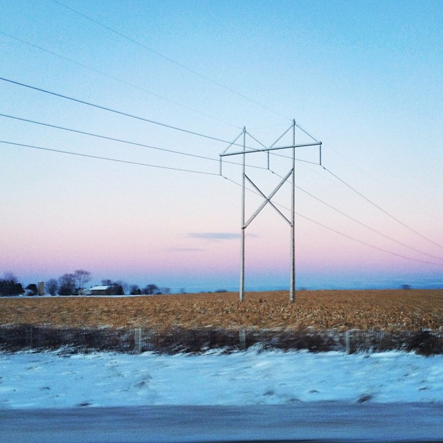
#wisconsin #winter
N- HWY 29 & CNTY P
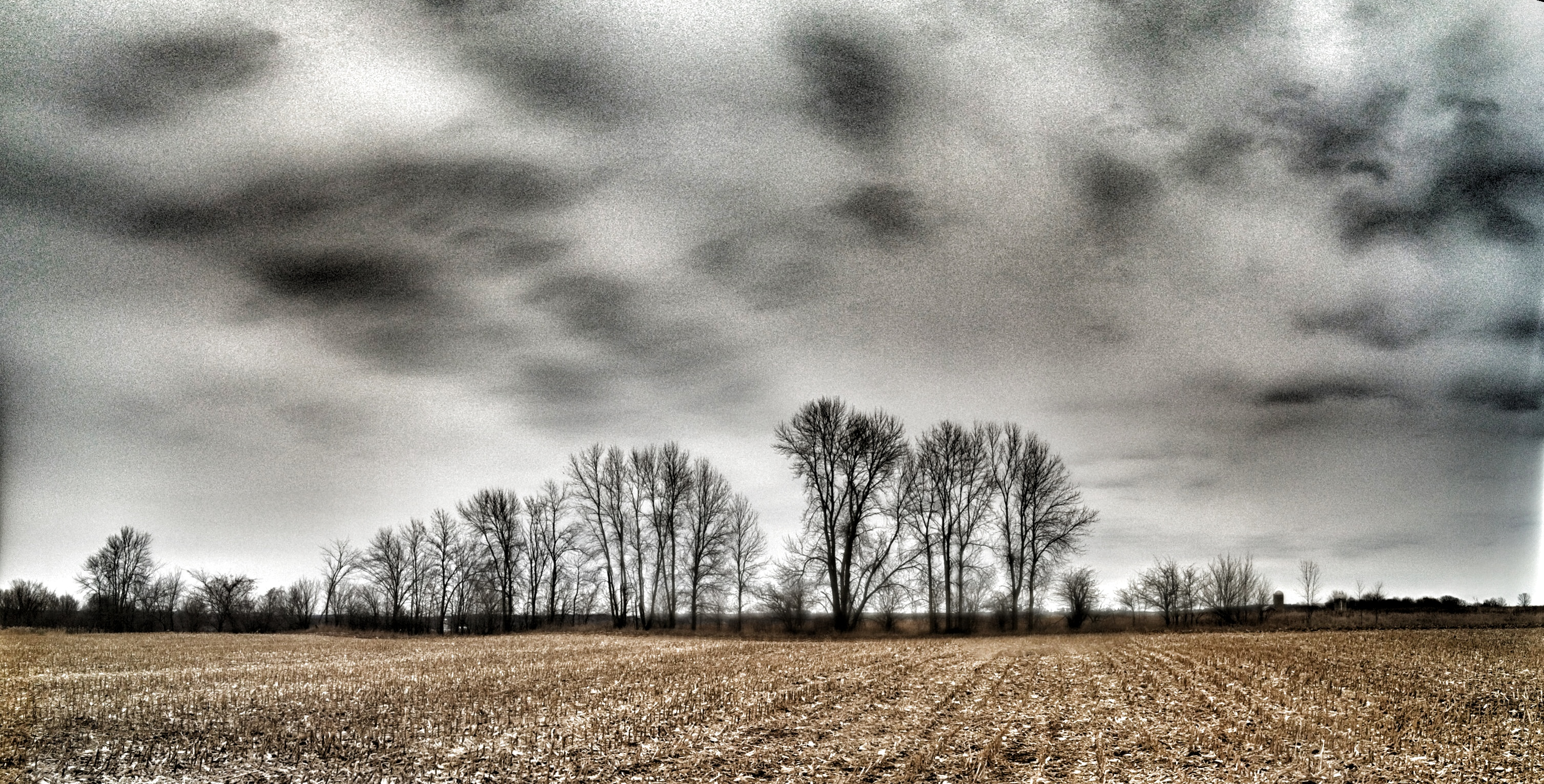
Tree Line
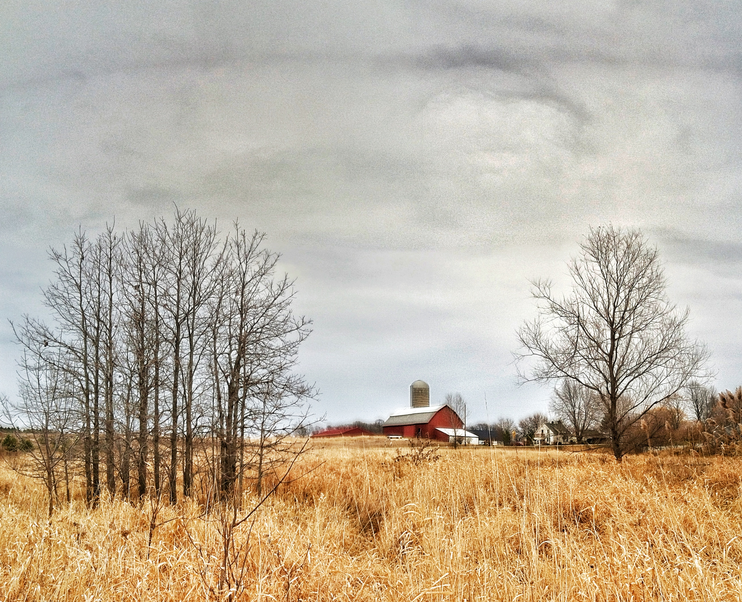
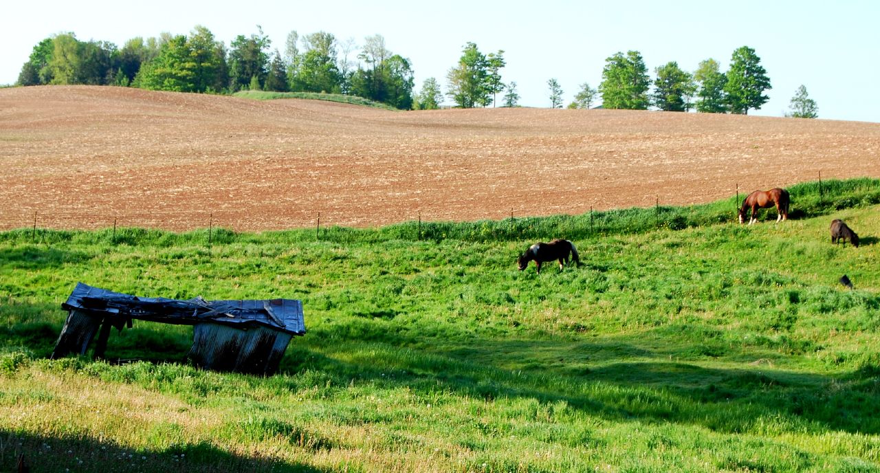
Wisconsin Farm
#November #Landscape
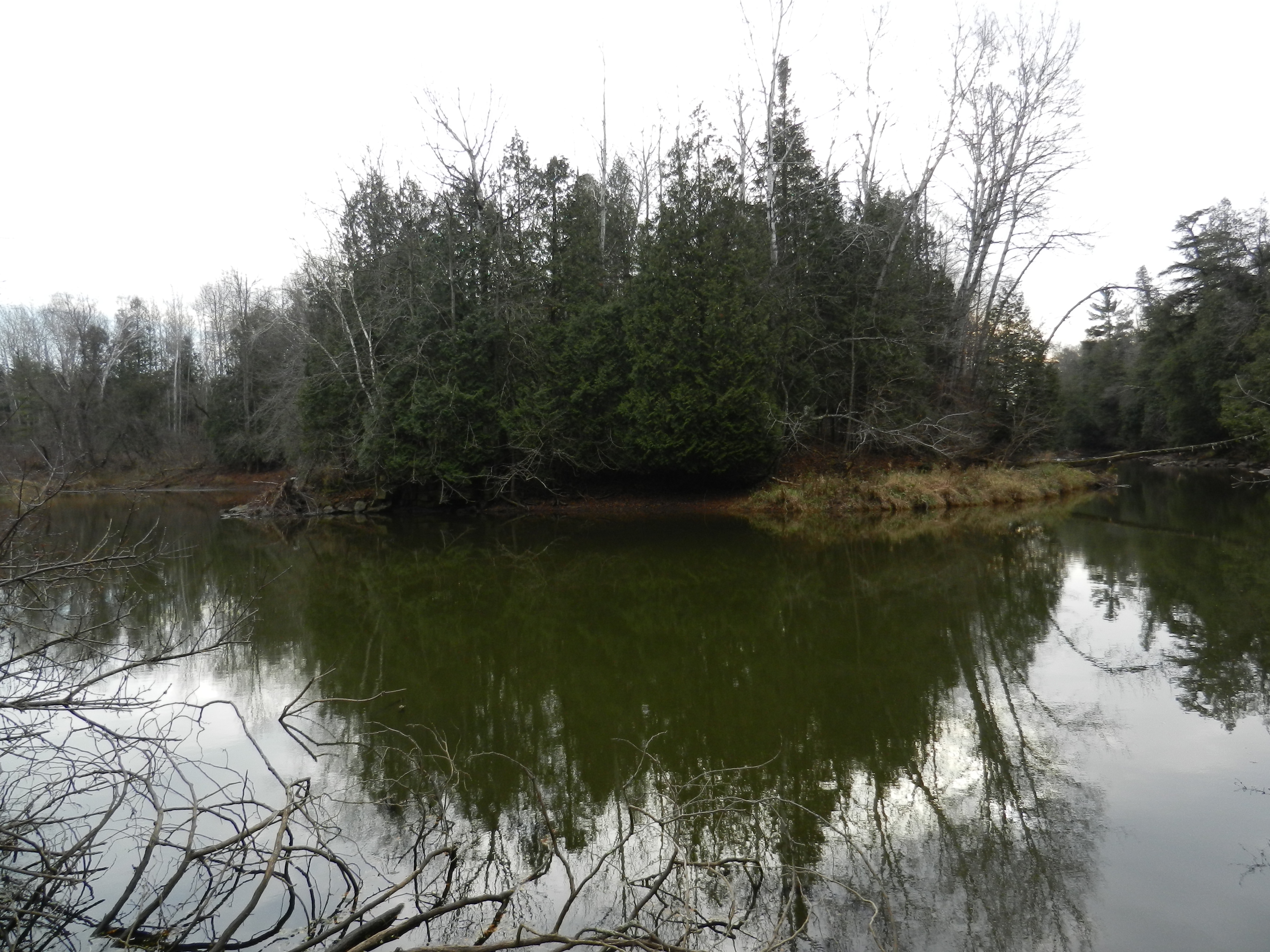
N- LILLY LAKE
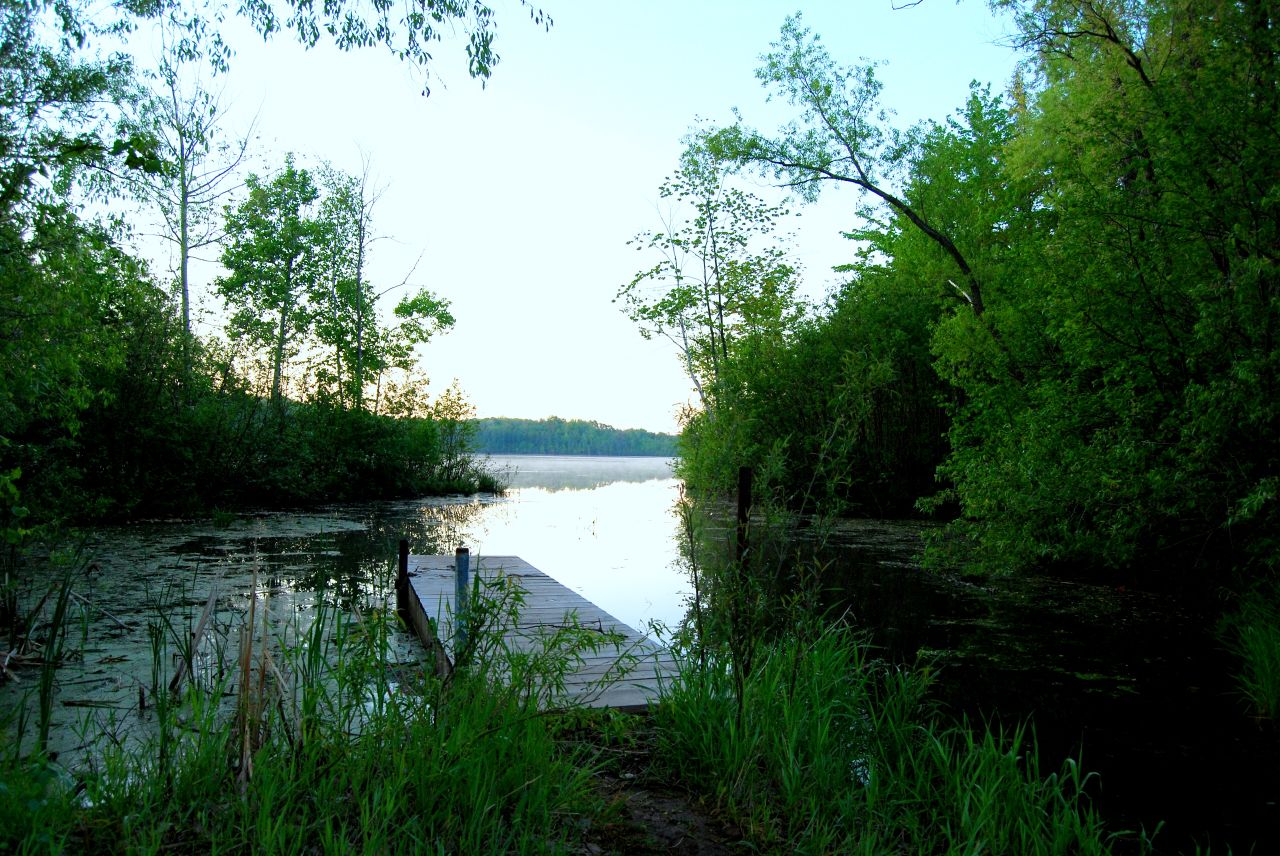
N- LILLY LAKE
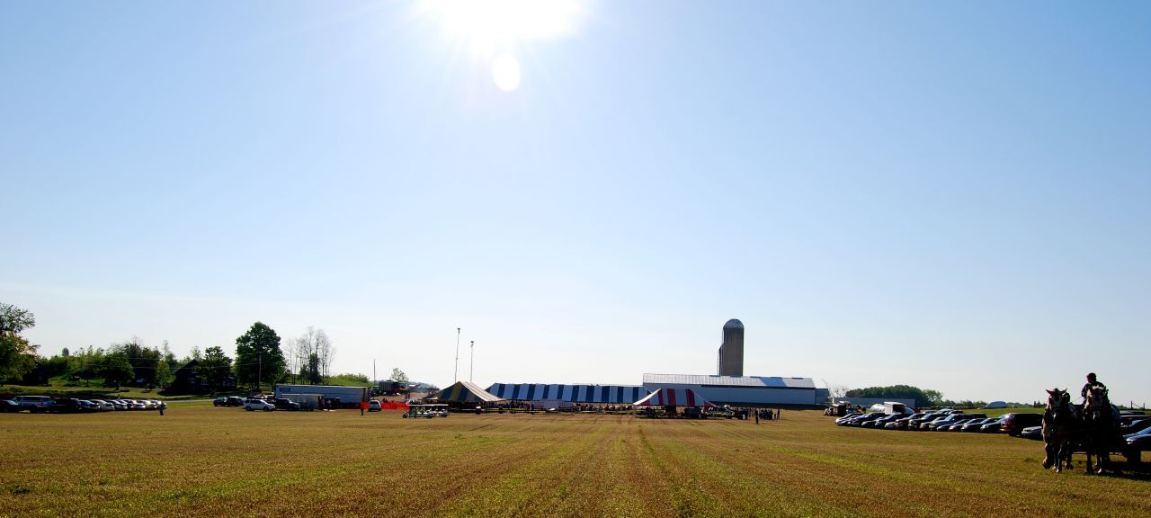
N- BREAKFAST ON THE FARM BROWN CO. 6-1-2008
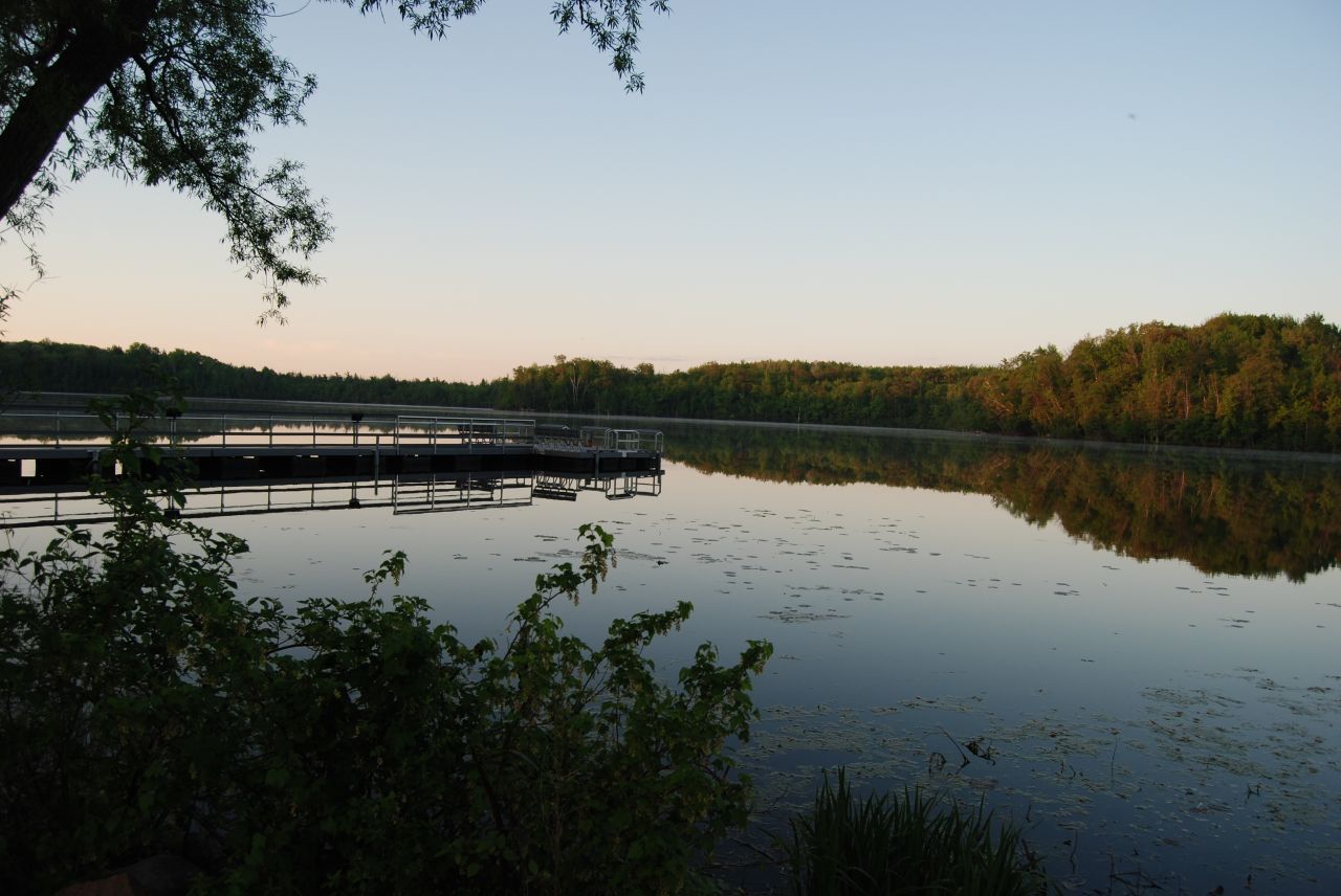
N- LILLY LAKE
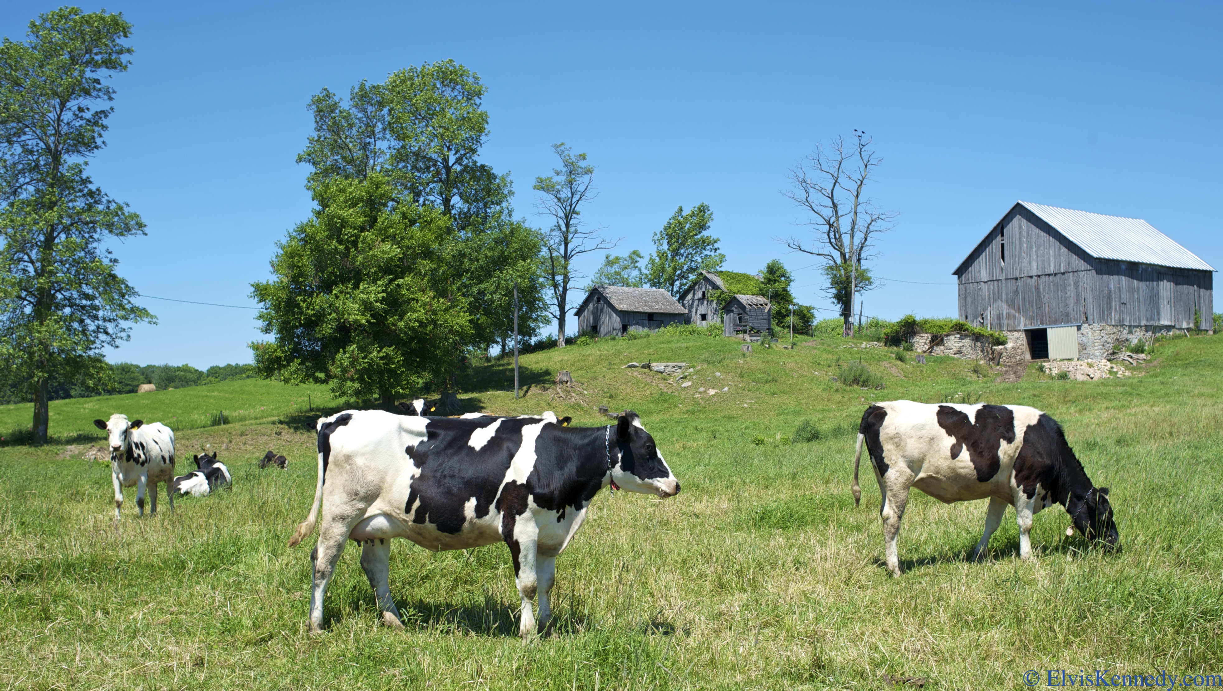
Cows in Field

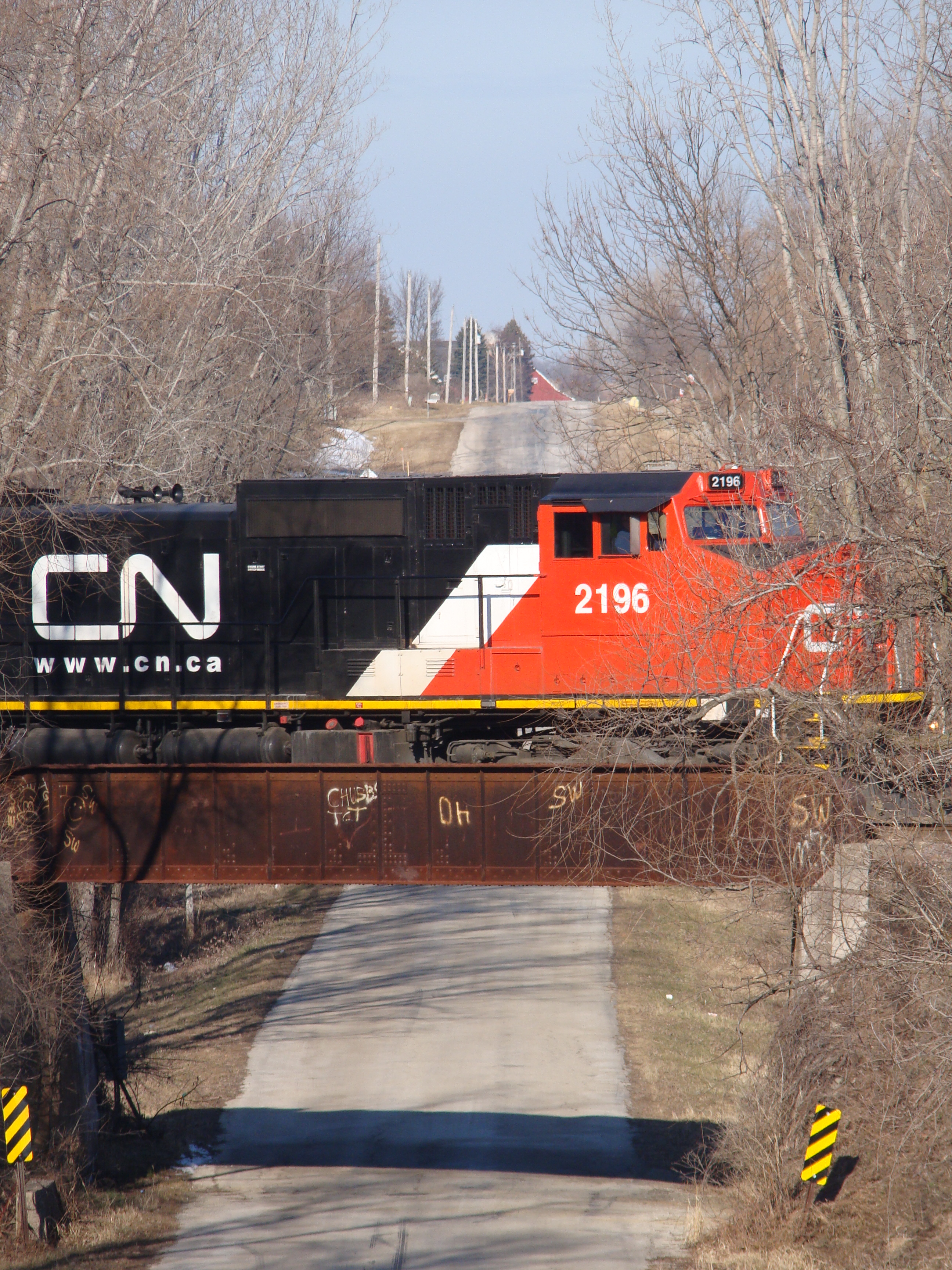
The ex-Shoreline sub in its natural state
Cherney Maribel Caves County Park | Maribel, WI

End of the line, Denmark, WI

Cherney Maribel Caves State Natural Area
Cherney Maribel Caves County Park | Maribel, WI
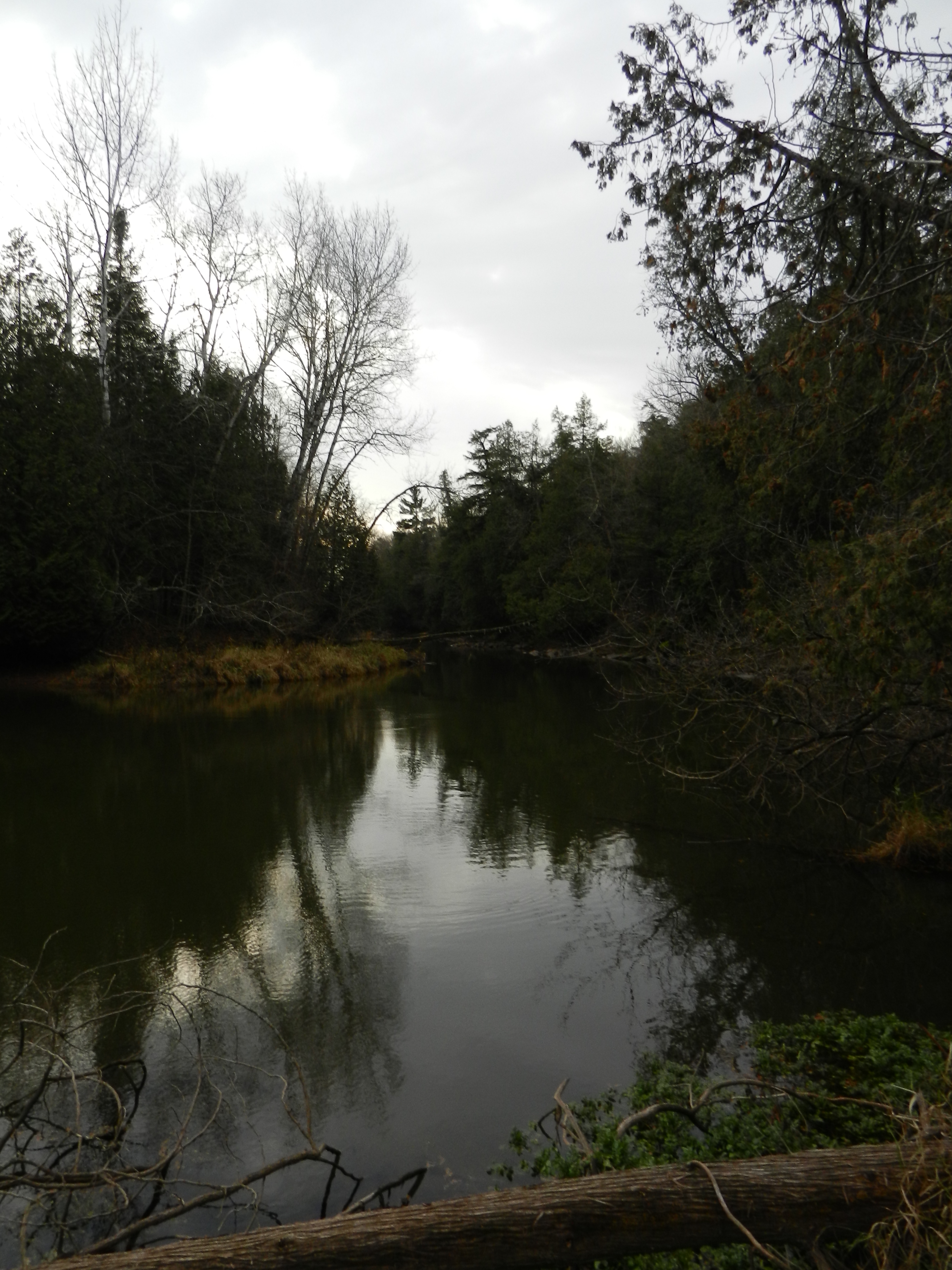
West Twin River
Cherney Maribel Caves County Park | Maribel, WI
A little color...
Topographic Map of Franklin, WI, USA
Find elevation by address:

Places in Franklin, WI, USA:
Places near Franklin, WI, USA:
N895
18194 Harpt Lake Rd
Tisch Mills Rd, Denmark, WI, USA
5923 Wi-29
5923 Wi-29
5923 Wi-29
Denmark
Montpelier
6167 St Patrick Dr
832 Woodrow St
Carlton
N2836 Co Rd B
N2856 Co Rd B
Eaton
West Kewaunee
E3902
Pine Grove
Stagecoach Rd, Green Bay, WI, USA
Town Line Road
Recent Searches:
- Elevation of Corso Fratelli Cairoli, 35, Macerata MC, Italy
- Elevation of Tallevast Rd, Sarasota, FL, USA
- Elevation of 4th St E, Sonoma, CA, USA
- Elevation of Black Hollow Rd, Pennsdale, PA, USA
- Elevation of Oakland Ave, Williamsport, PA, USA
- Elevation of Pedrógão Grande, Portugal
- Elevation of Klee Dr, Martinsburg, WV, USA
- Elevation of Via Roma, Pieranica CR, Italy
- Elevation of Tavkvetili Mountain, Georgia
- Elevation of Hartfords Bluff Cir, Mt Pleasant, SC, USA