Elevation of Franklin Ave, Saratoga, CA, USA
Location: United States > California > Santa Clara County > Saratoga >
Longitude: -122.02660
Latitude: 37.2709718
Elevation: 126m / 413feet
Barometric Pressure: 100KPa
Elevation Map:
Satellite Map:
Related Photos:

Bridging the gap

DSC02820 Mushroom quilt

The hidden beauty of a colorful Fall...
Wish you were here

Juvenile Red-tailed Hawk (Buteo jamaicensis) - Hunting mode (5 of 5)
Perfect view?

bokeh angel
Next To The Adobe
Stuck in the past

Mary Avenue Bridge
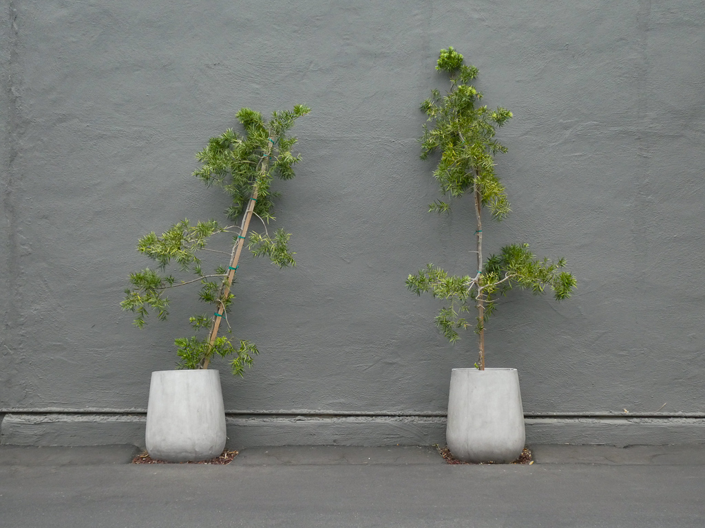
Two Potted Trees
Mud Hat

teeny tiny

Break Chairs
Cone Drips

after the incursion

DSC01246.JPG
Wheels Up

Miner's Lettuce - ground level view

The Shire 1.0
Two Two 5
Somewhere in heaven
forest light
Heritage Orchard in Winter

Heritage Orchard_02
morning light in Saratoga Creek
Monte Bello Open Space Preserve
three trunks

Ray of hope...

Great Long, Slow Day on the LG Creek Trail. The #408 has the best weather in the Bay Area #TeamRunTheBay #RunLocal #GetOnnit #nikeplus

Trail to Heaven
Morning before sunrise in the mountains
Central Park

My Favorite Tree
Geese at sunset

Spider Tree
Negev Landscape closeup 2
trail uphill
Those are mountains coming up through cloud cover

Remember you asked how you'd know it was time to go?
what if all the world you think you know is an elaborate dream?
Topographic Map of Franklin Ave, Saratoga, CA, USA
Find elevation by address:

Places near Franklin Ave, Saratoga, CA, USA:
13114 Regan Ln
19802 Merribrook Dr
Saratoga Sunnyvale Road
Ten Oak Way
13301 Glen Brae Dr
19947 Garnett Ct
20175 Williamsburg Ln
Blue Hills
Blue Meadow Ct, Saratoga, CA, USA
Dagmar Dr, Saratoga, CA, USA
Saratoga Lane By Summerhill Homes
Marilla Drive
Golden Triangle
Scully Avenue
12154 Terrence Ave
18955 Mcfarland Ave
12151 Country Squire Ln
Quito Village
Poppy Way
18340 Mellon Dr
Recent Searches:
- Elevation of Elwyn Dr, Roanoke Rapids, NC, USA
- Elevation of Congressional Dr, Stevensville, MD, USA
- Elevation of Bellview Rd, McLean, VA, USA
- Elevation of Stage Island Rd, Chatham, MA, USA
- Elevation of Shibuya Scramble Crossing, 21 Udagawacho, Shibuya City, Tokyo -, Japan
- Elevation of Jadagoniai, Kaunas District Municipality, Lithuania
- Elevation of Pagonija rock, Kranto 7-oji g. 8"N, Kaunas, Lithuania
- Elevation of Co Rd 87, Jamestown, CO, USA
- Elevation of Tenjo, Cundinamarca, Colombia
- Elevation of Côte-des-Neiges, Montreal, QC H4A 3J6, Canada