Elevation of Frankfort Rd, Lancing, TN, USA
Location: United States > Tennessee > Morgan County > Lancing >
Longitude: -84.802805
Latitude: 36.102314
Elevation: 445m / 1460feet
Barometric Pressure: 96KPa
Elevation Map:
Satellite Map:
Related Photos:

The Four Season Tree!

Misty Morning View
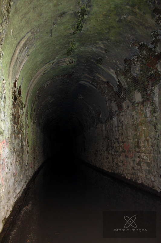
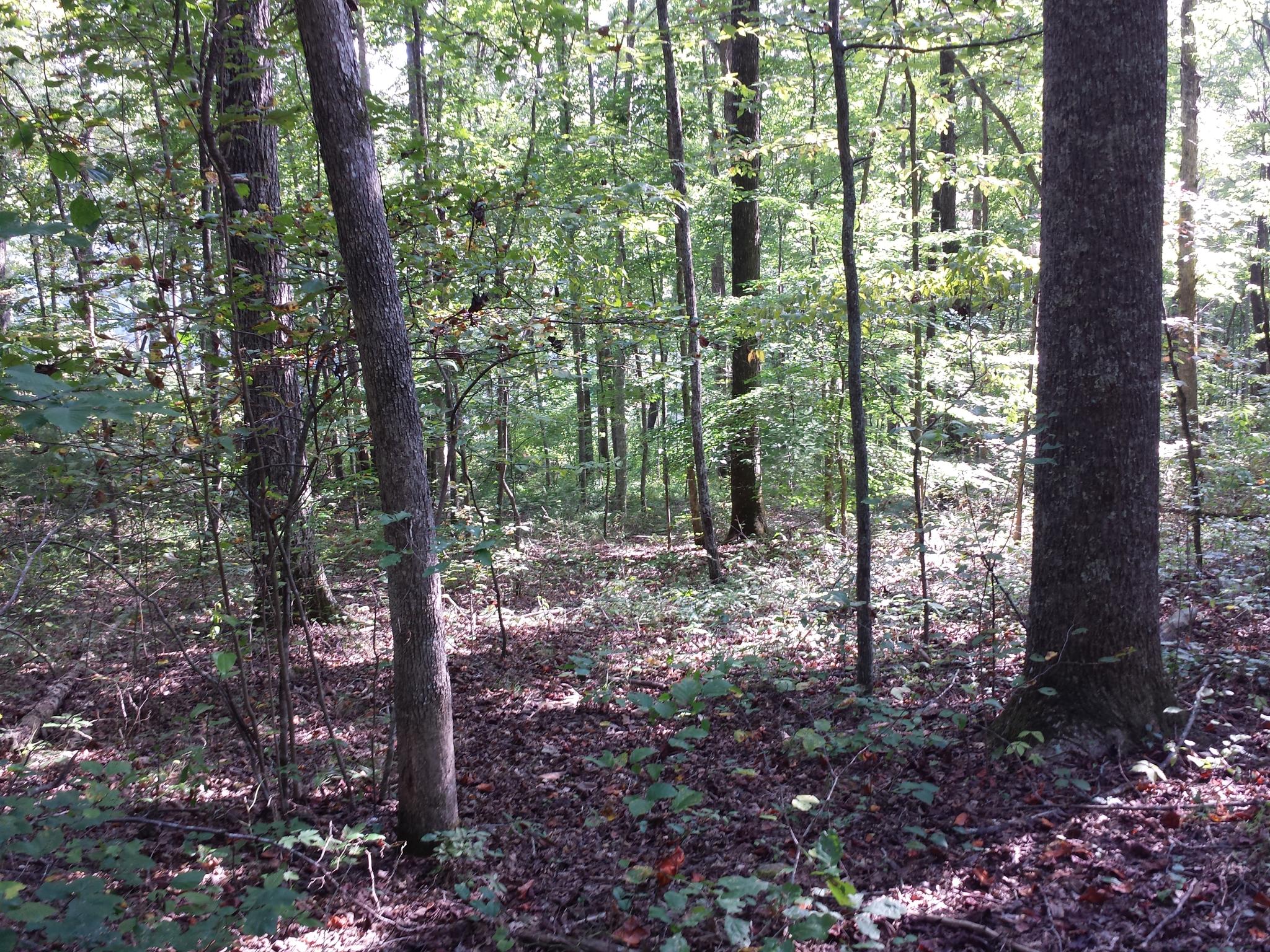
The Inside

view from roof in tennessee
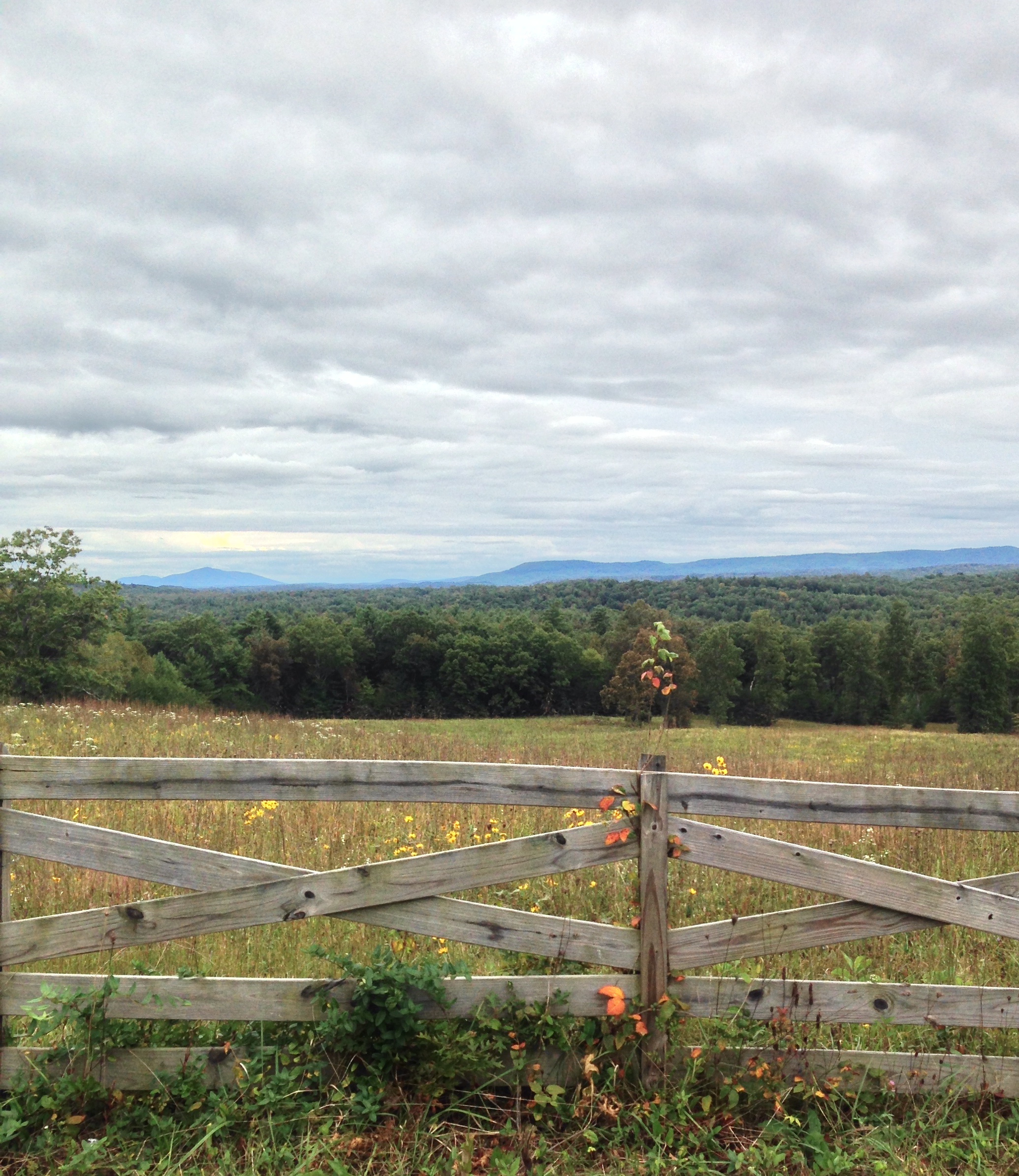
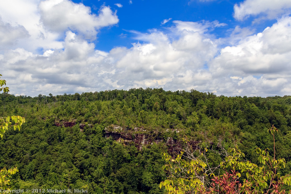
Cloudy day view near Deer Lodge TN
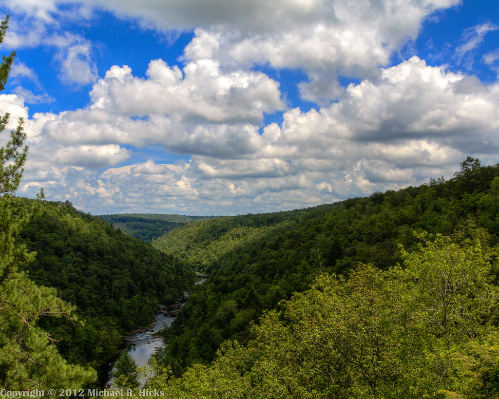
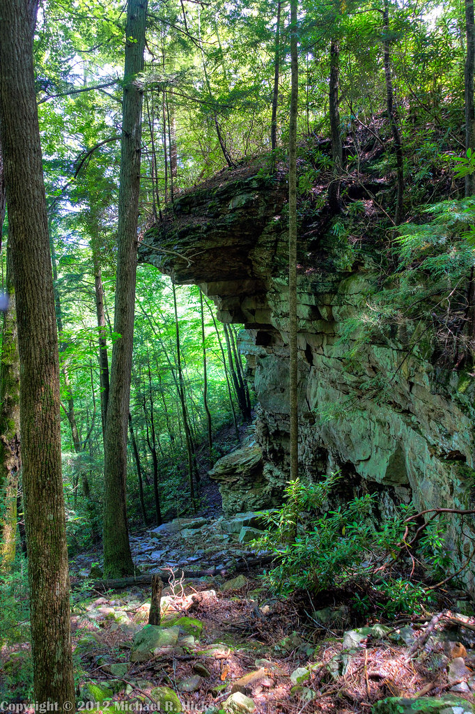
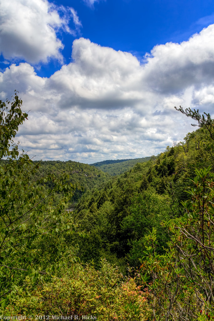
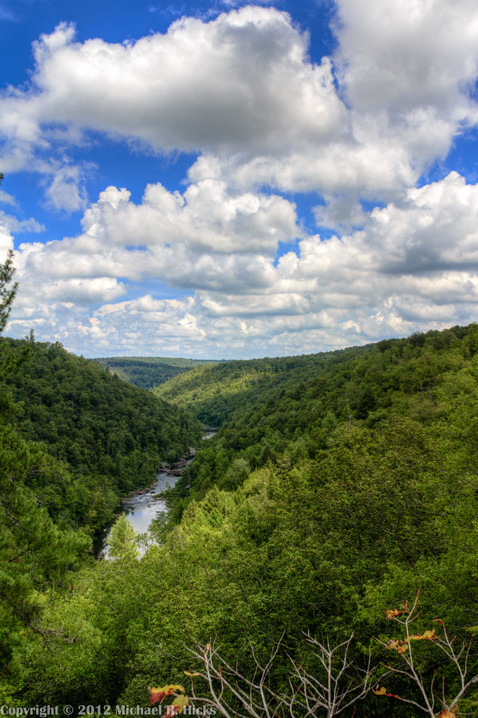
Obed Wild and Scenic River Segment of the Cumberland Trail
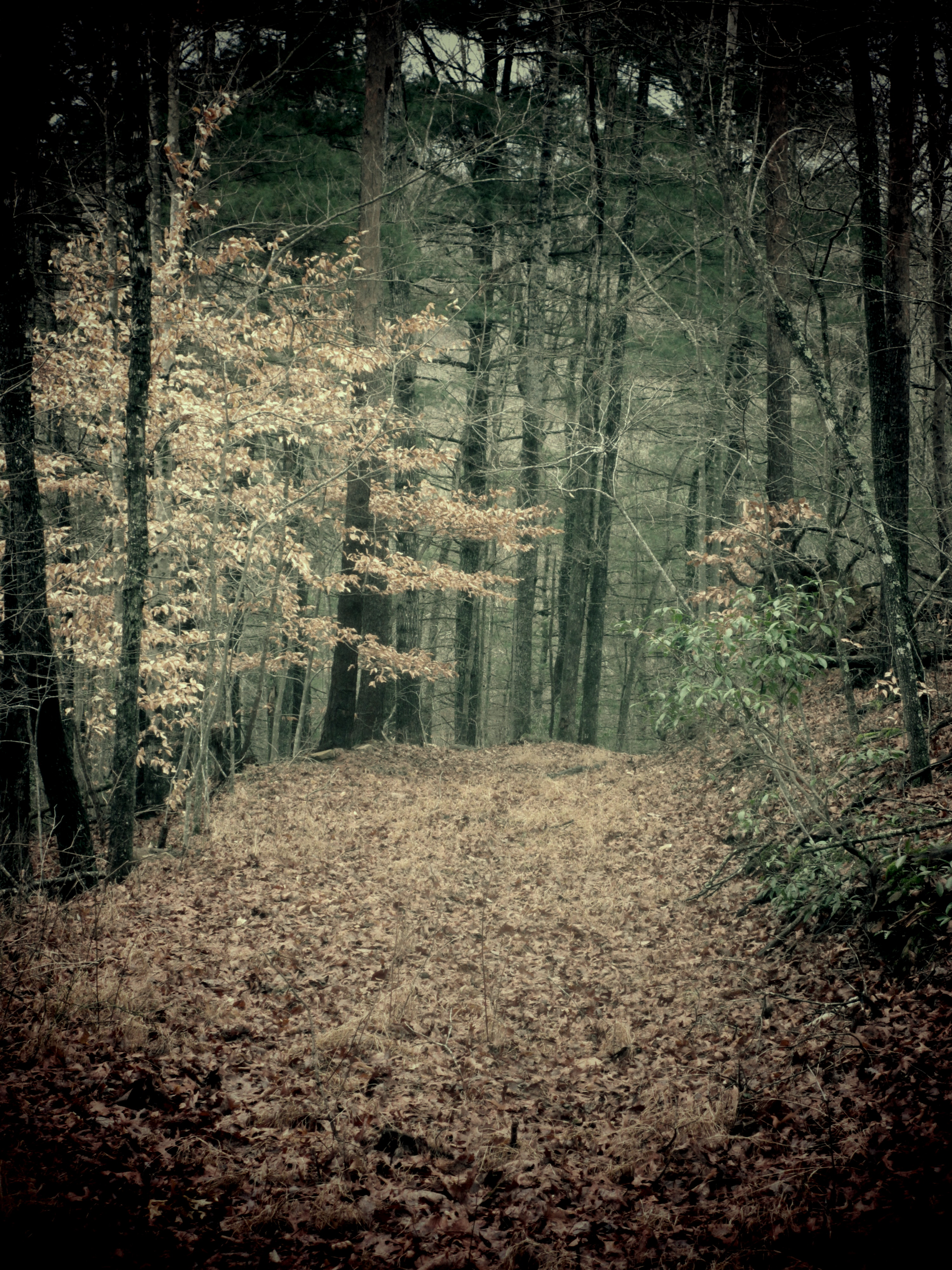
The Road Not Taken
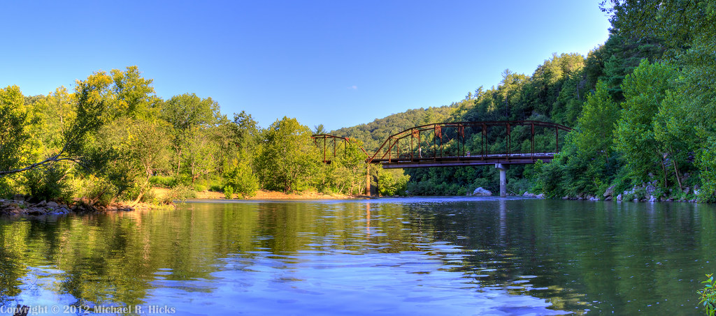
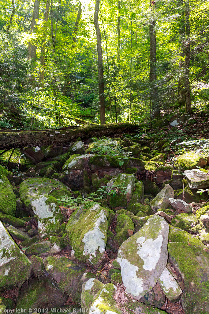
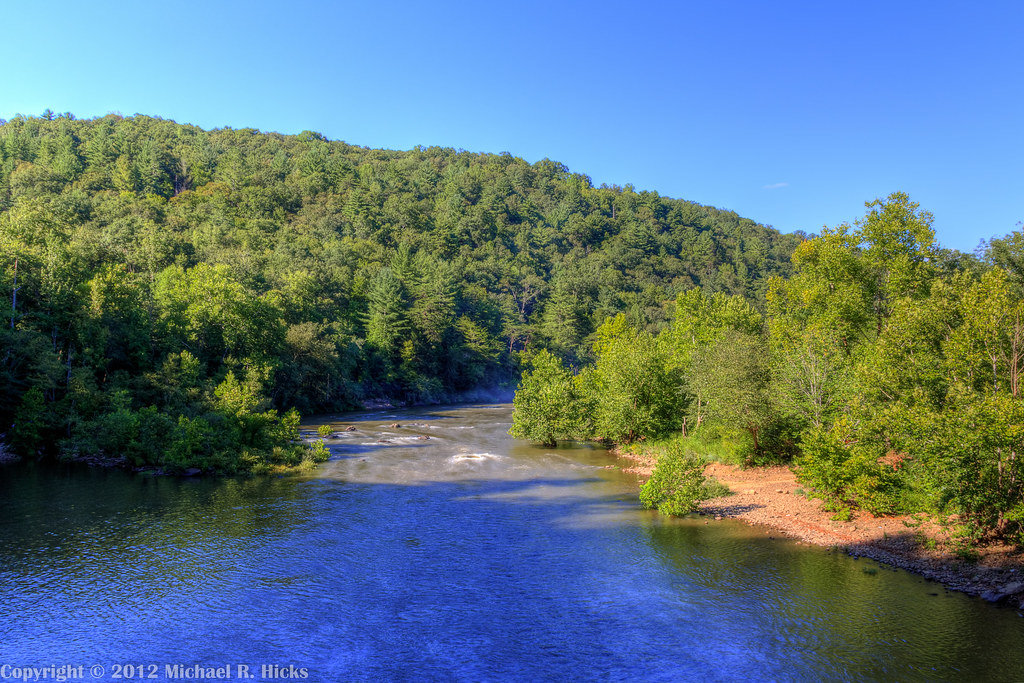
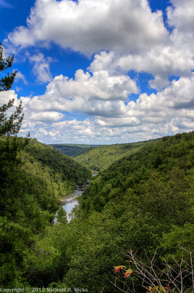
Obed Wild and Scenic River Segment of the Cumberland Trail
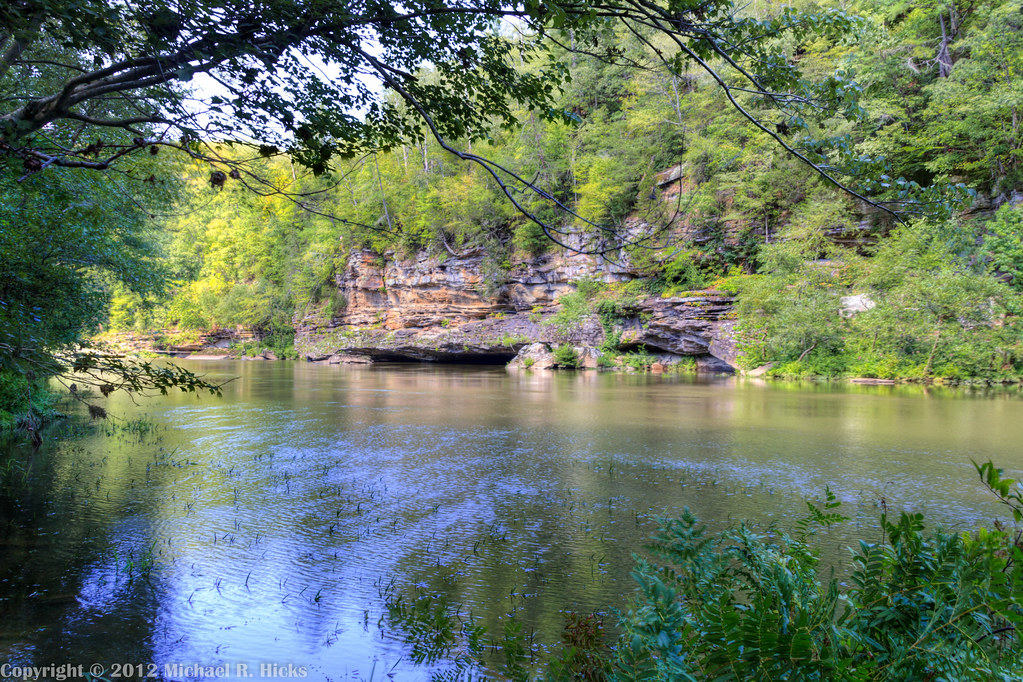
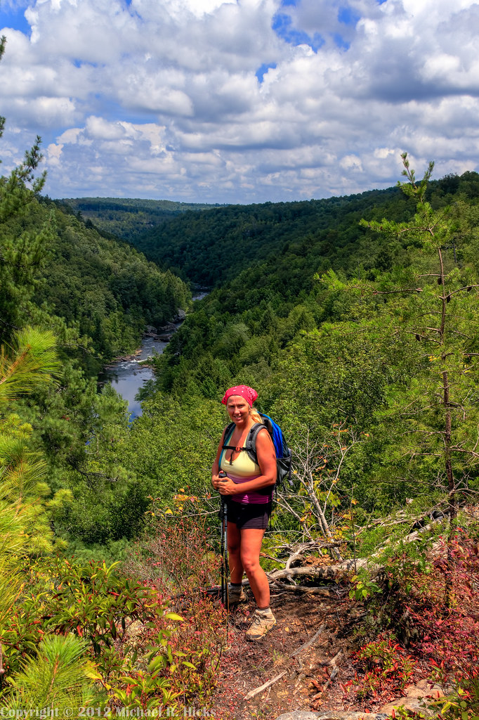
Obed Wild and Scenic River Segment of the Cumberland Trail
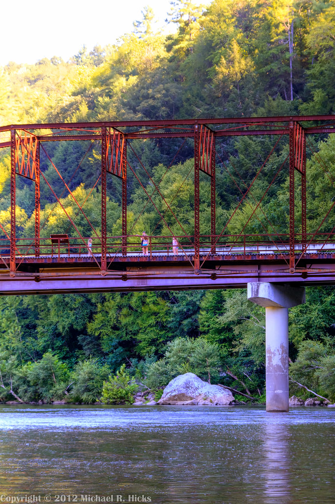
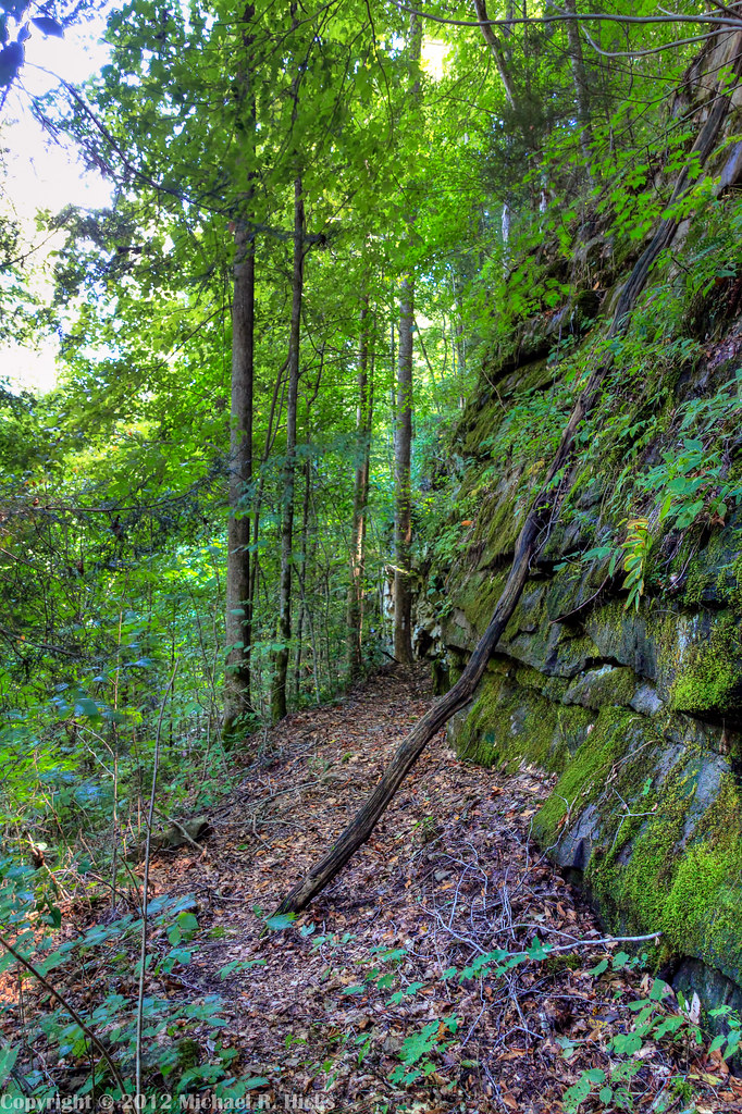
Obed Wild and Scenic River Segment of the Cumberland Trail
Obed Wild and Scenic River Segment of the Cumberland Trail
Obed Wild and Scenic River Segment of the Cumberland Trail
Obed Wild and Scenic River Segment of the Cumberland Trail
Lunch Break at Daddys Creek

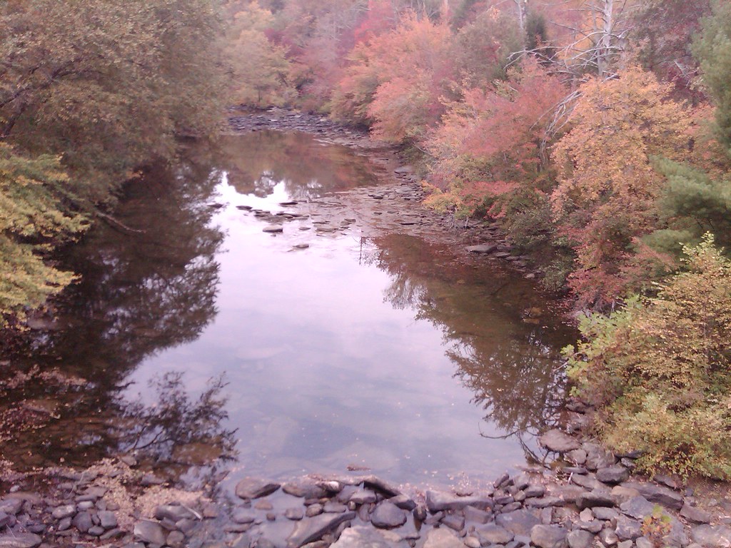
Big Sky Reflection
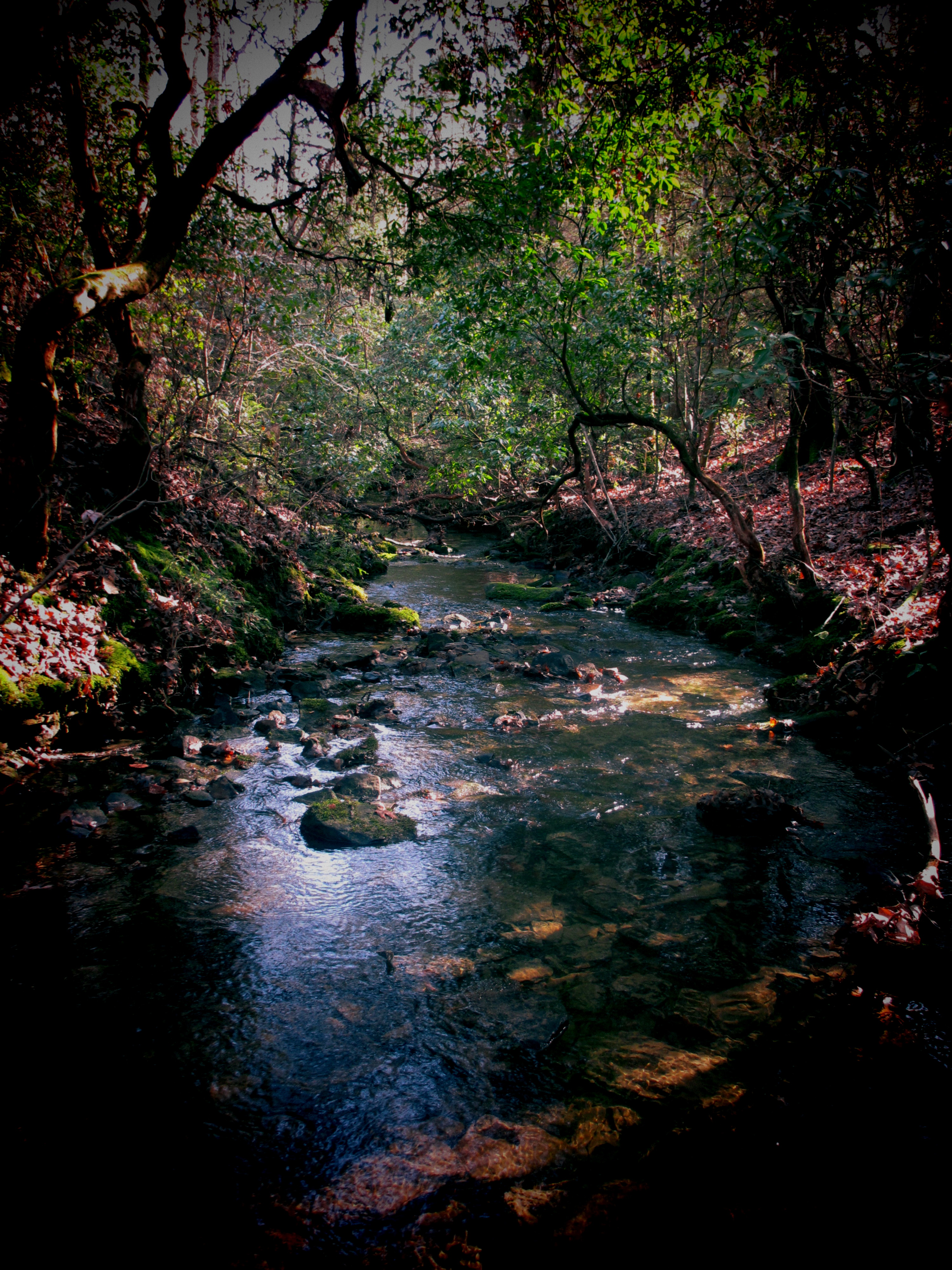
Hidden Creek
Obed Wild and Scenic River Segment of the Cumberland Trail
Obed Wild and Scenic River Segment of the Cumberland Trail
Obed Wild and Scenic River Segment of the Cumberland Trail
Obed Wild and Scenic River Segment of the Cumberland Trail
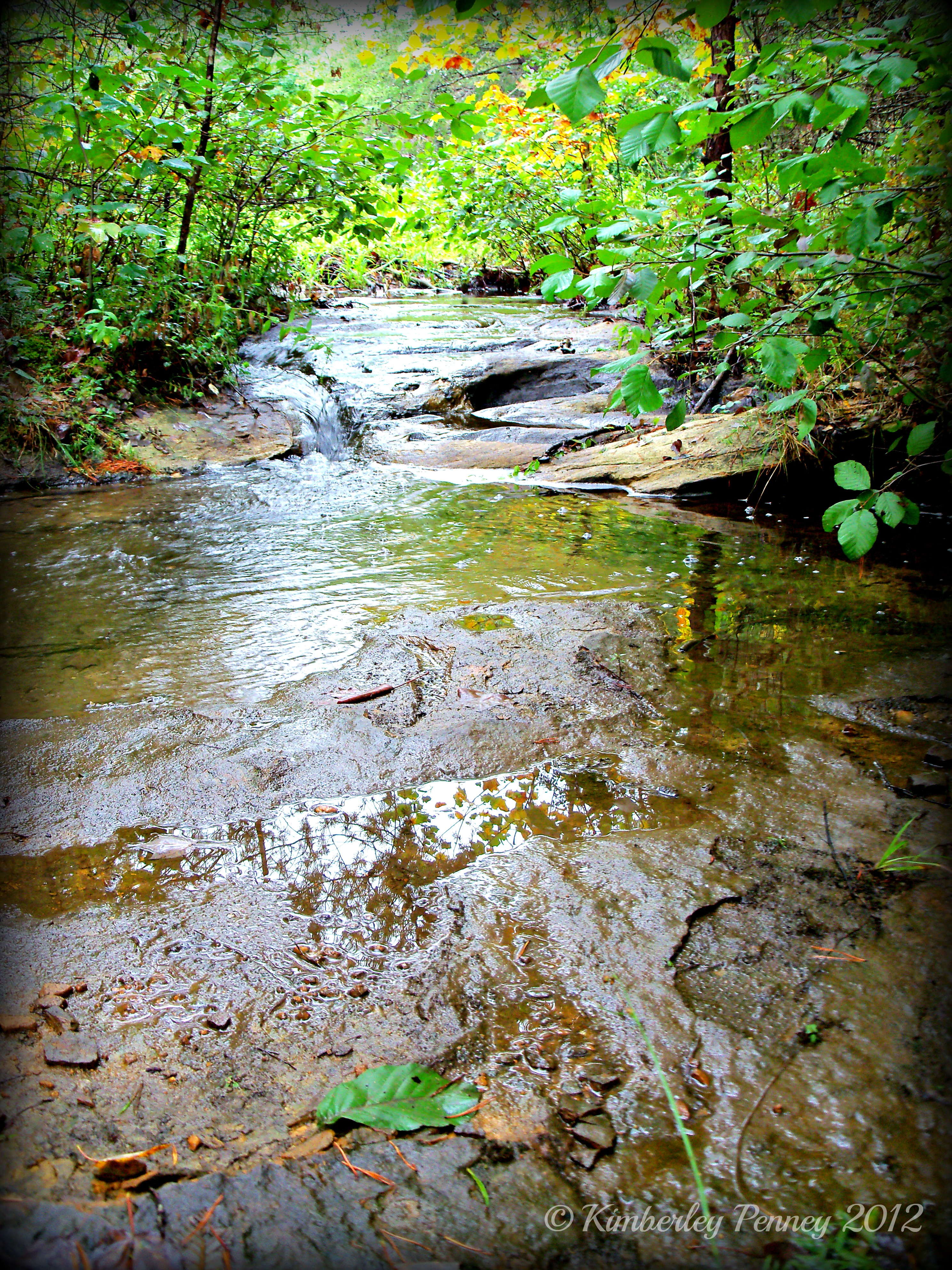
Little Creek
Obed Wild and Scenic River Segment of the Cumberland Trail
Obed Wild and Scenic River Segment of the Cumberland Trail

Obed Wild and Scenic River
os-018
Topographic Map of Frankfort Rd, Lancing, TN, USA
Find elevation by address:

Places near Frankfort Rd, Lancing, TN, USA:
1765 Genesis Rd
4283 Nashville Hwy
4283 Nashville Hwy
4283 Nashville Hwy
174 Claude Howard Rd
133 Walnut Dr
White Creek Loop
233 Scott Wyatt Rd
170 White Creek Ct
Chestnut Ridge Road
20 Westridge Cir
20 Westridge Cir
48 Holly Ln
991 Ett Brown Rd
2115 Deer Lodge Hwy
117 Leyden Dr
117 Leyden Dr
119 Leyden Dr
Deer Lodge
115 Forest View Dr
Recent Searches:
- Elevation of Zimmer Trail, Pennsylvania, USA
- Elevation of 87 Kilmartin Ave, Bristol, CT, USA
- Elevation of Honghe National Nature Reserve, QP95+PJP, Tongjiang, Heilongjiang, Jiamusi, Heilongjiang, China
- Elevation of Hercules Dr, Colorado Springs, CO, USA
- Elevation of Szlak pieszy czarny, Poland
- Elevation of Griffing Blvd, Biscayne Park, FL, USA
- Elevation of Kreuzburger Weg 13, Düsseldorf, Germany
- Elevation of Gateway Blvd SE, Canton, OH, USA
- Elevation of East W.T. Harris Boulevard, E W.T. Harris Blvd, Charlotte, NC, USA
- Elevation of West Sugar Creek, Charlotte, NC, USA