Elevation of France Ct, Laredo, TX, USA
Location: United States > Texas > Webb County > Laredo >
Longitude: -99.34404
Latitude: 27.490286
Elevation: 184m / 604feet
Barometric Pressure: 99KPa
Elevation Map:
Satellite Map:
Related Photos:
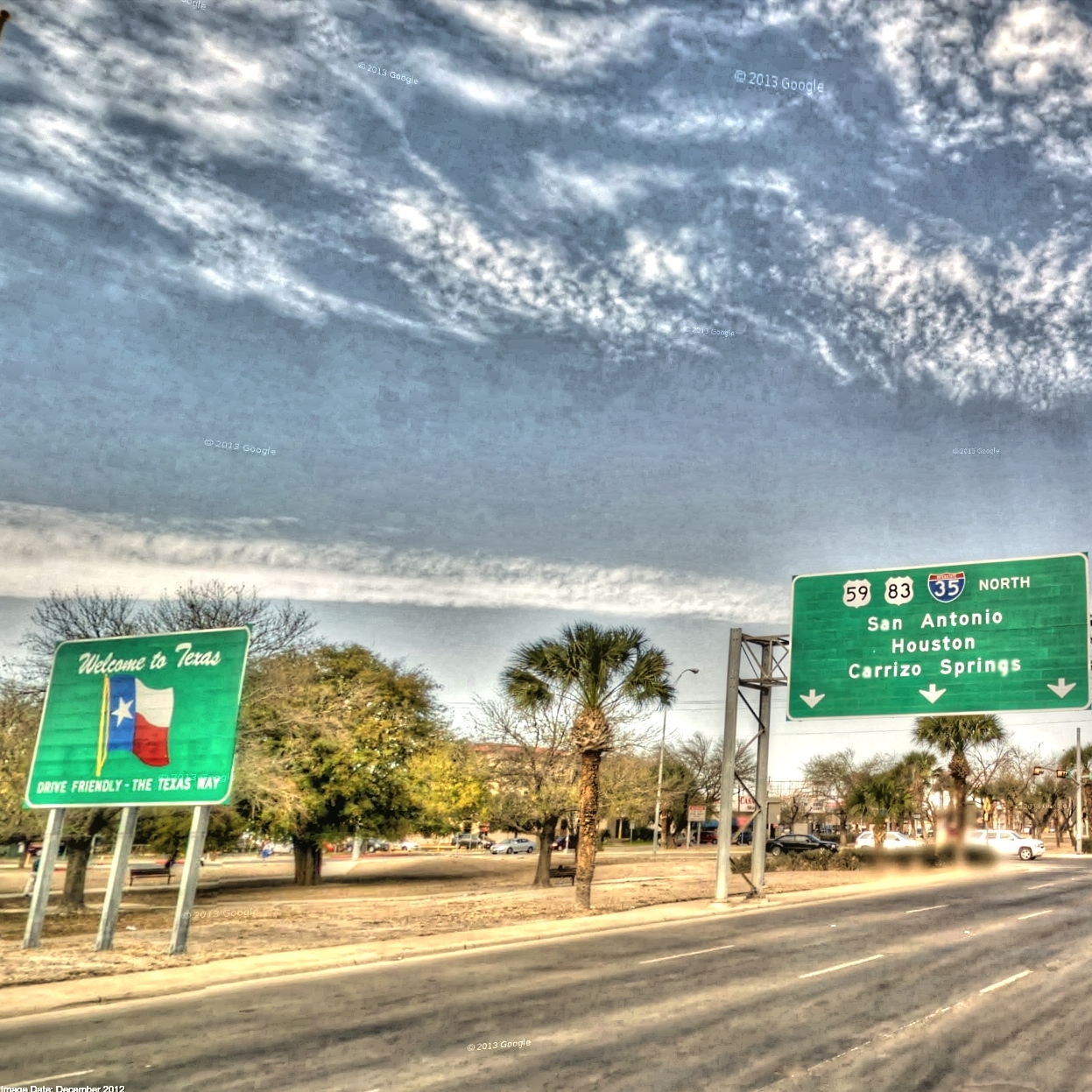
US Border welcome
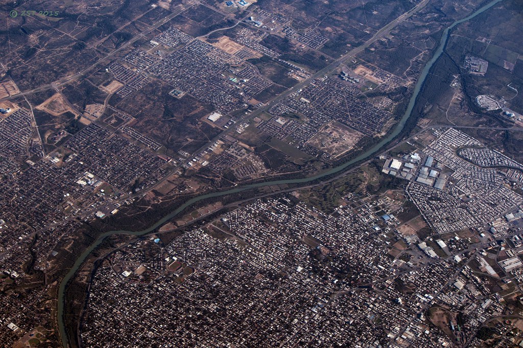
Laredo, Nuevo Laredo, TX & the Rio Grande

Plaza Theatre, Laredo TX

56/365: A Study in Abstraction

View from the old Plaza Hotel
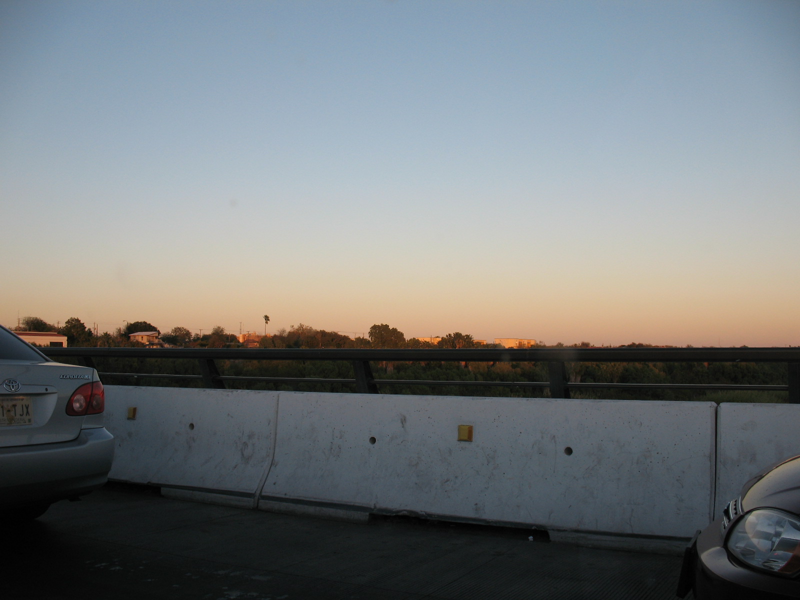
Laredo Border Bridge View / Vista desde el Puente Internacional de Laredo #1

View from the old Plaza Hotel
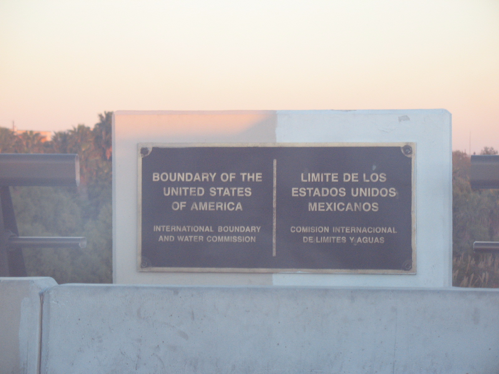
Limit of the United States of America / Límite de los Estados Unidos de América

06-24-2011 (06;48;24)
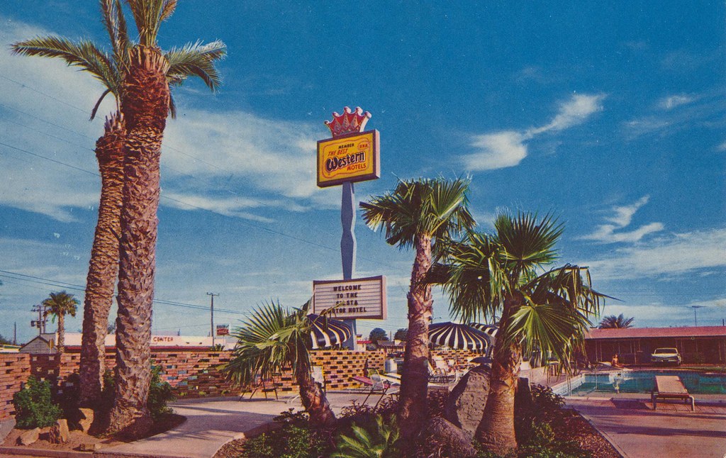
Siesta Motor Hotel - Laredo, Texas
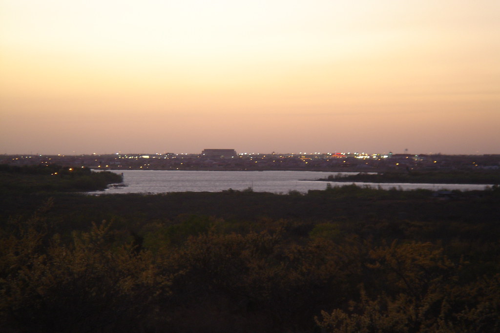
Laredo and Lake Casablanca

Curve-billed Thrasher (<I>Toxostoma curvirostre</I>), Laredo, Texas

_MG_0170.jpg
KCS Hi Rail
Topographic Map of France Ct, Laredo, TX, USA
Find elevation by address:

Places near France Ct, Laredo, TX, USA:
TX-, Laredo, TX, USA
Ranch Road
Coronado Ave, Laredo, TX, USA
North India Avenue
Ghost Town
Uni-trade Stadium
1601 Guerrero St
Riverhill
Laredo
610 Bougainvillea St
915 E Stewart St
Tajin Usa Llc
Zaragoza Grill At La Posada Hotel
Rancho Pila Rd, Laredo, TX, USA
Farragut St, Laredo, TX, USA
C.b.d.
Laredo
Av César López De Lara 3130
Santa Maria Ave, Laredo, TX, USA
Ranch Road
Recent Searches:
- Elevation of Corso Fratelli Cairoli, 35, Macerata MC, Italy
- Elevation of Tallevast Rd, Sarasota, FL, USA
- Elevation of 4th St E, Sonoma, CA, USA
- Elevation of Black Hollow Rd, Pennsdale, PA, USA
- Elevation of Oakland Ave, Williamsport, PA, USA
- Elevation of Pedrógão Grande, Portugal
- Elevation of Klee Dr, Martinsburg, WV, USA
- Elevation of Via Roma, Pieranica CR, Italy
- Elevation of Tavkvetili Mountain, Georgia
- Elevation of Hartfords Bluff Cir, Mt Pleasant, SC, USA