Elevation of Frames Branch Rd, Clay City, KY, USA
Location: United States > Kentucky > Powell County > Clay City >
Longitude: -83.919101
Latitude: 37.812847
Elevation: 193m / 633feet
Barometric Pressure: 99KPa
Elevation Map:
Satellite Map:
Related Photos:

County Wall

Radio On 570 AM

Portrait of a Drive In Owner

Organ 2

Projection Booth
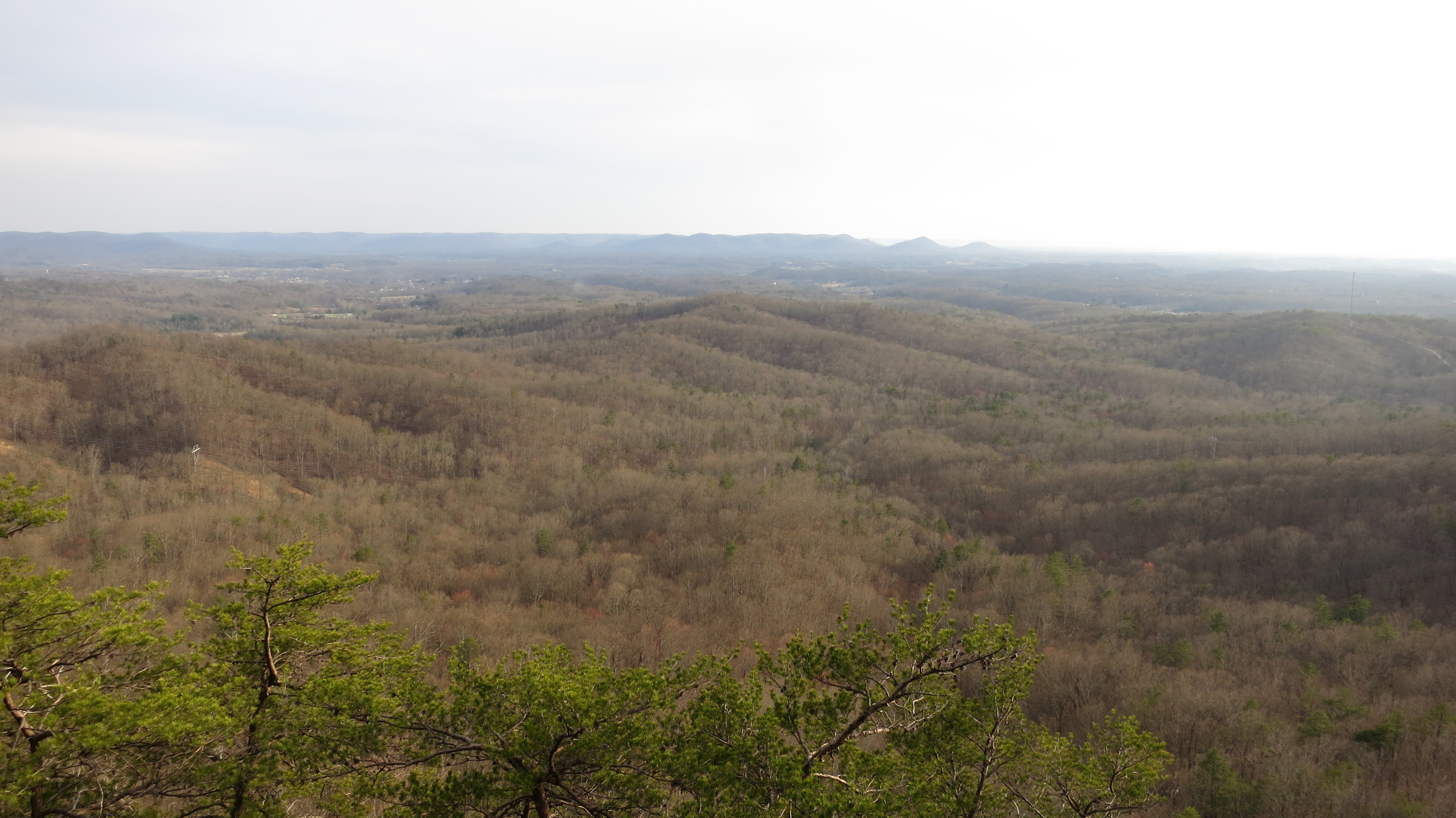
Pilot Knob, Kentucky

On Pilot Knob.
State Rock

2012-01-02_13.00.21

2012-01-02_13.00.12

Kudzu Railroad

2012-01-02_13.04.24

2012-01-02_13.05.16

Solid day of hiking climbing bruising & bourbon

Boredom 2
Topographic Map of Frames Branch Rd, Clay City, KY, USA
Find elevation by address:

Places near Frames Branch Rd, Clay City, KY, USA:
35 11th St
Clay City
Spout Springs Road
59 Doe Valley Rd
Main St, Clay City, KY, USA
Spout Springs Rd, Irvine, KY, USA
488 Furnace Rd
Stanton
63 Allie Ln
Winchester Rd, Clay City, KY, USA
Red River Healthcare
Powell County
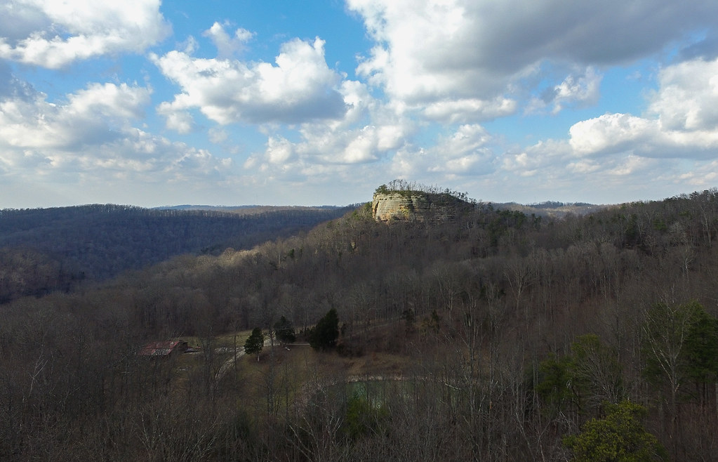
Pilot Knob
Winchester Rd, Clay City, KY, USA
Campton Rd, Stanton, KY, USA
Ironworks Rd, Winchester, KY, USA
1849 Kiddville Rd
Means
Nada Tunnel Rd, Stanton, KY, USA
KY-, Means, KY, USA
Recent Searches:
- Elevation of Zu den Ihlowbergen, Althüttendorf, Germany
- Elevation of Badaber, Peshawar, Khyber Pakhtunkhwa, Pakistan
- Elevation of SE Heron Loop, Lincoln City, OR, USA
- Elevation of Slanický ostrov, 01 Námestovo, Slovakia
- Elevation of Spaceport America, Co Rd A, Truth or Consequences, NM, USA
- Elevation of Warwick, RI, USA
- Elevation of Fern Rd, Whitmore, CA, USA
- Elevation of 62 Abbey St, Marshfield, MA, USA
- Elevation of Fernwood, Bradenton, FL, USA
- Elevation of Felindre, Swansea SA5 7LU, UK