Elevation of Foxfield, Raheen, Caherlistrane, Co. Galway, Ireland
Location: Ireland > Galway > Galway >
Longitude: -9.0221157
Latitude: 53.4922958
Elevation: 37m / 121feet
Barometric Pressure: 101KPa
Elevation Map:
Satellite Map:
Related Photos:

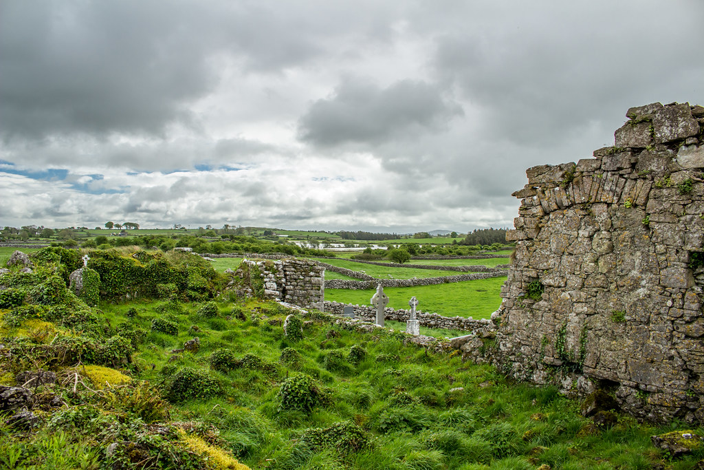
Ross Errilly Friary

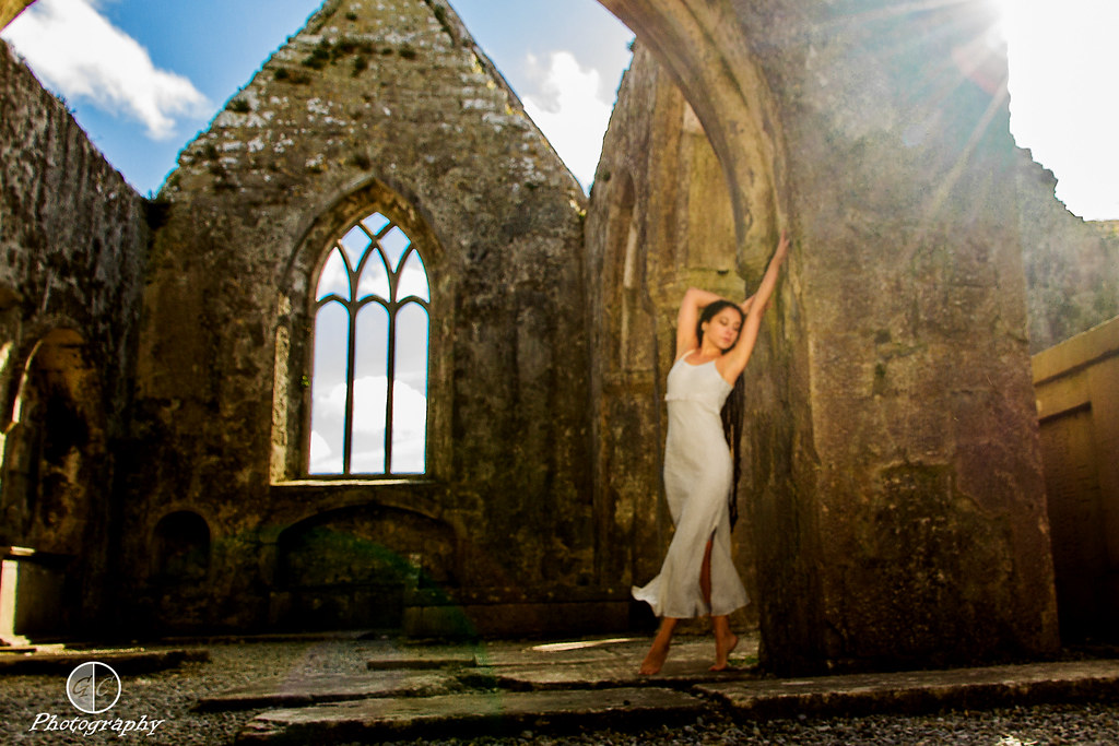
Beautiful Valentina
Connemara trip - model shoot

Bringing home the turf!
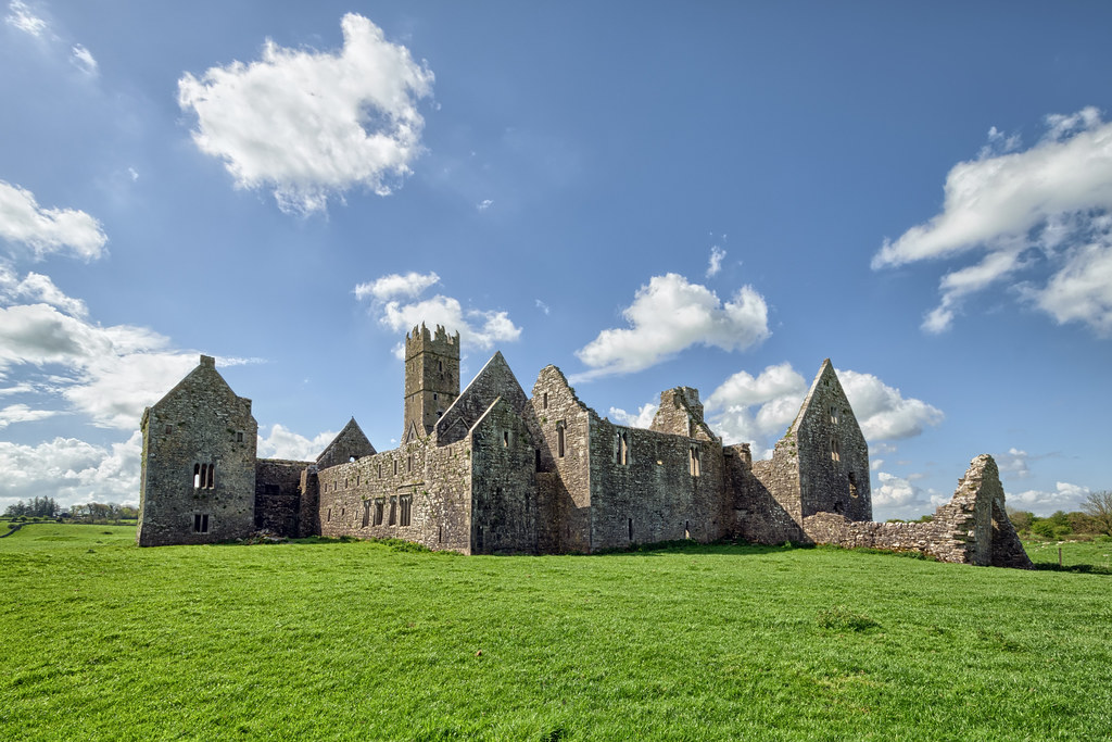
Ross Errilly Franciscan Friary - Galway - Ireland

Fishing Boats
Irish colours
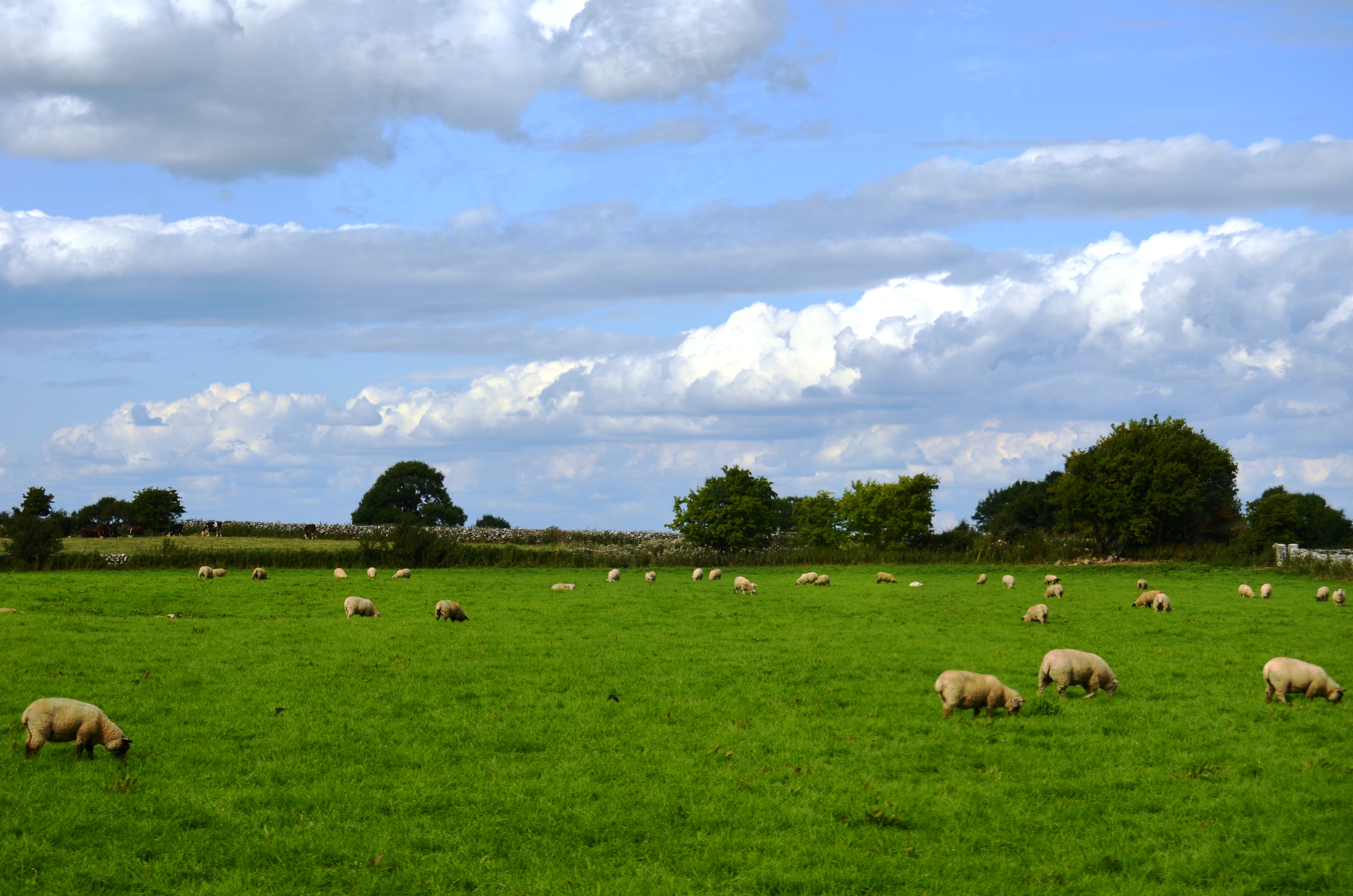
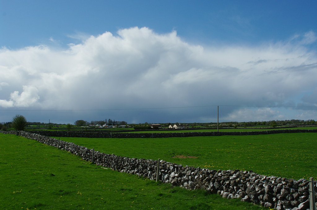
pasture land
Lough Hackett 31-Mar-14
A Dark Path.
Beautiful #ireland #nature #connemara
shimmering lake

Ballycurrin Co. Galway Ireland.
IMG_0922.jpg

Acqua e fuoco
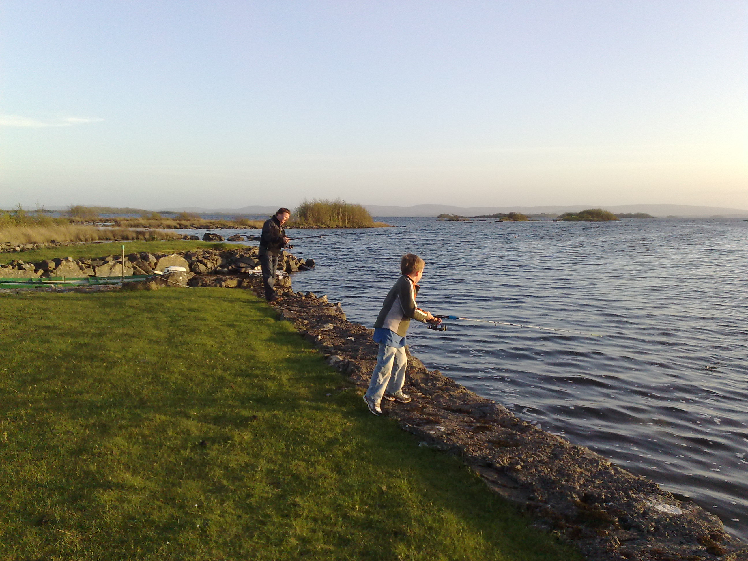
Eager for more fish
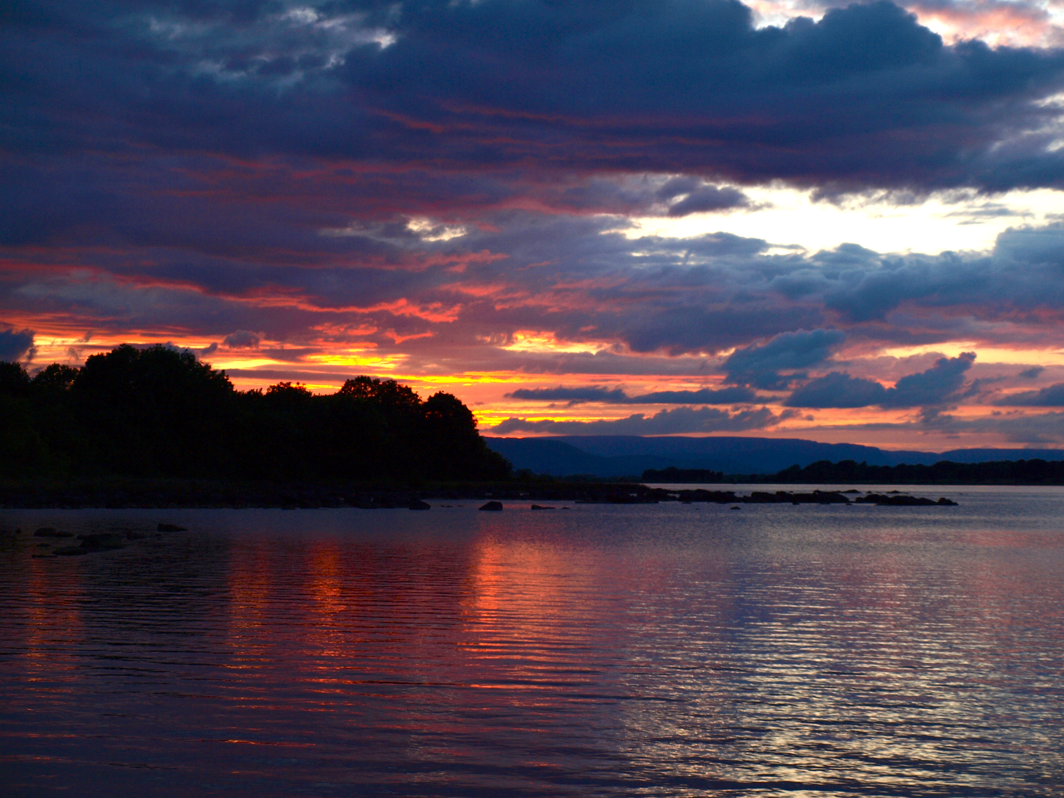
lough corrib sunset
N17 041111 (2)
Topographic Map of Foxfield, Raheen, Caherlistrane, Co. Galway, Ireland
Find elevation by address:

Places near Foxfield, Raheen, Caherlistrane, Co. Galway, Ireland:
Cloonfush
Kilmaine
Belmont
Grange
Tagheen
Taugheen Church
Backfox
Inishmicatreer
Claremorris
Glebe Stone Circle
Lough Corrib
Cong
Shanballymore
Abbey
Barnacarroll National School
Knockaunbaun
Abbeyland South
Dunmore Football Pitch
Knock
Knock Post Office
Recent Searches:
- Elevation of Gateway Blvd SE, Canton, OH, USA
- Elevation of East W.T. Harris Boulevard, E W.T. Harris Blvd, Charlotte, NC, USA
- Elevation of West Sugar Creek, Charlotte, NC, USA
- Elevation of Wayland, NY, USA
- Elevation of Steadfast Ct, Daphne, AL, USA
- Elevation of Lagasgasan, X+CQH, Tiaong, Quezon, Philippines
- Elevation of Rojo Ct, Atascadero, CA, USA
- Elevation of Flagstaff Drive, Flagstaff Dr, North Carolina, USA
- Elevation of Avery Ln, Lakeland, FL, USA
- Elevation of Woolwine, VA, USA