Elevation of Fox Hunter Rd, Maynardville, TN, USA
Location: United States > Tennessee > Union County > Maynardville >
Longitude: -83.793231
Latitude: 36.263025
Elevation: 508m / 1667feet
Barometric Pressure: 95KPa
Elevation Map:
Satellite Map:
Related Photos:
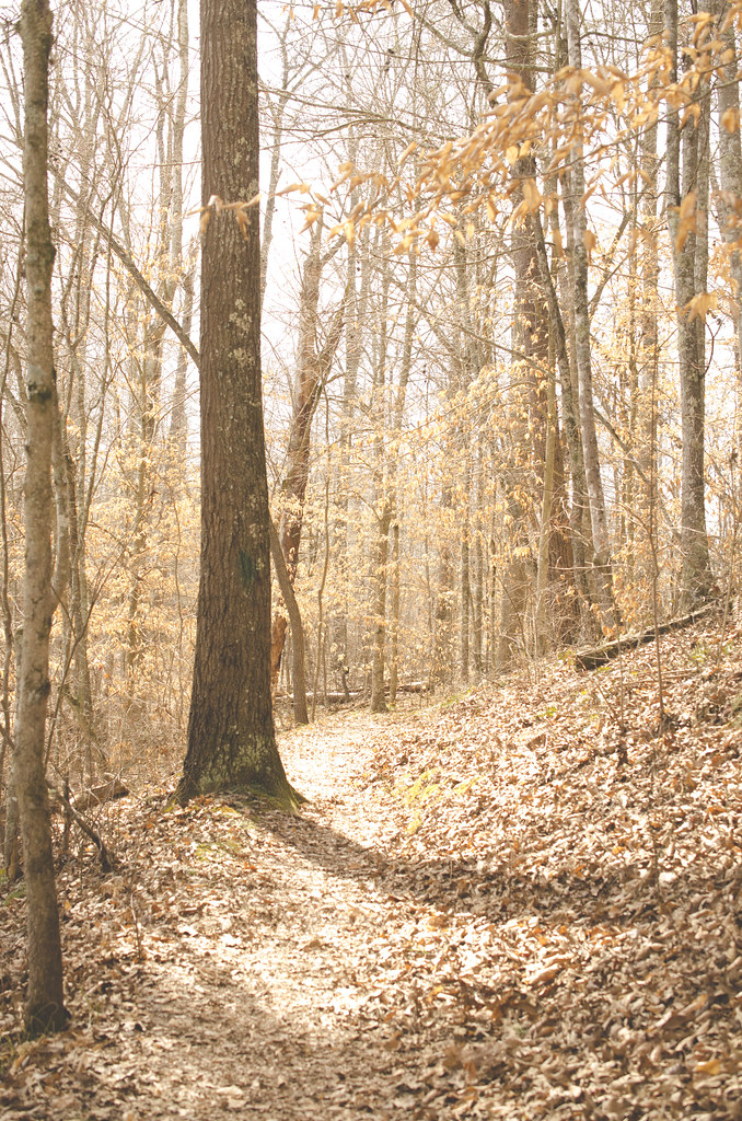
On the Path
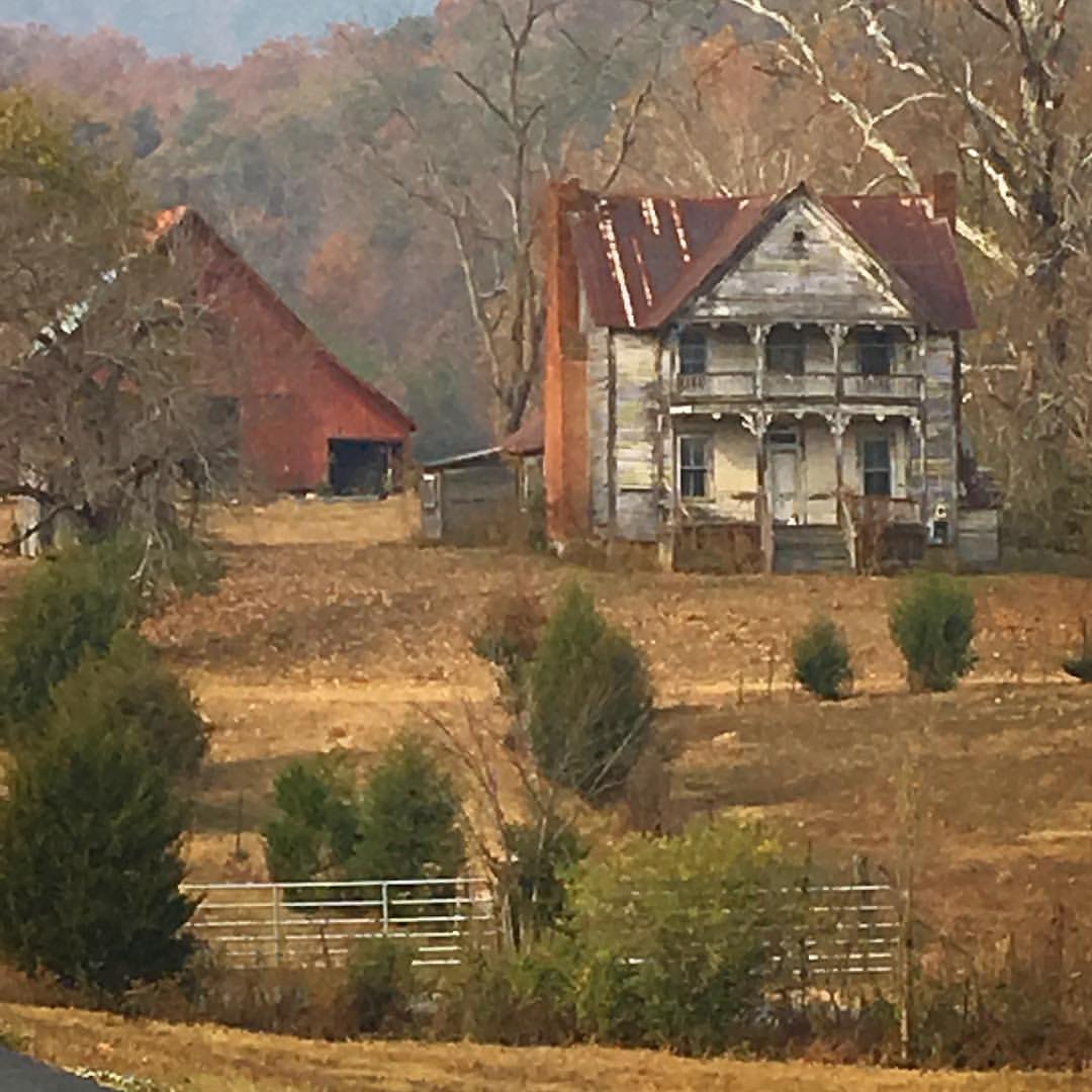
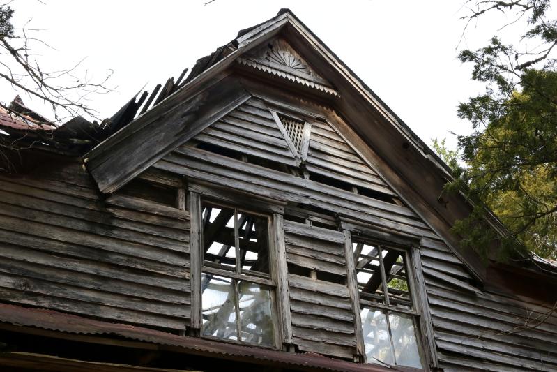
Once was a home near Blaine, TN
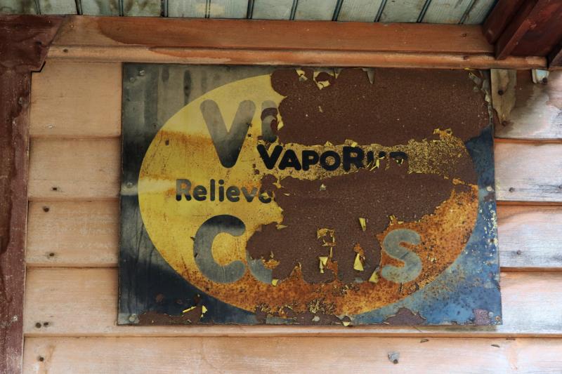
VICKS VAPORUB SIGN! EASES MISERIES OF COLDS Sign

Trouble Down Below
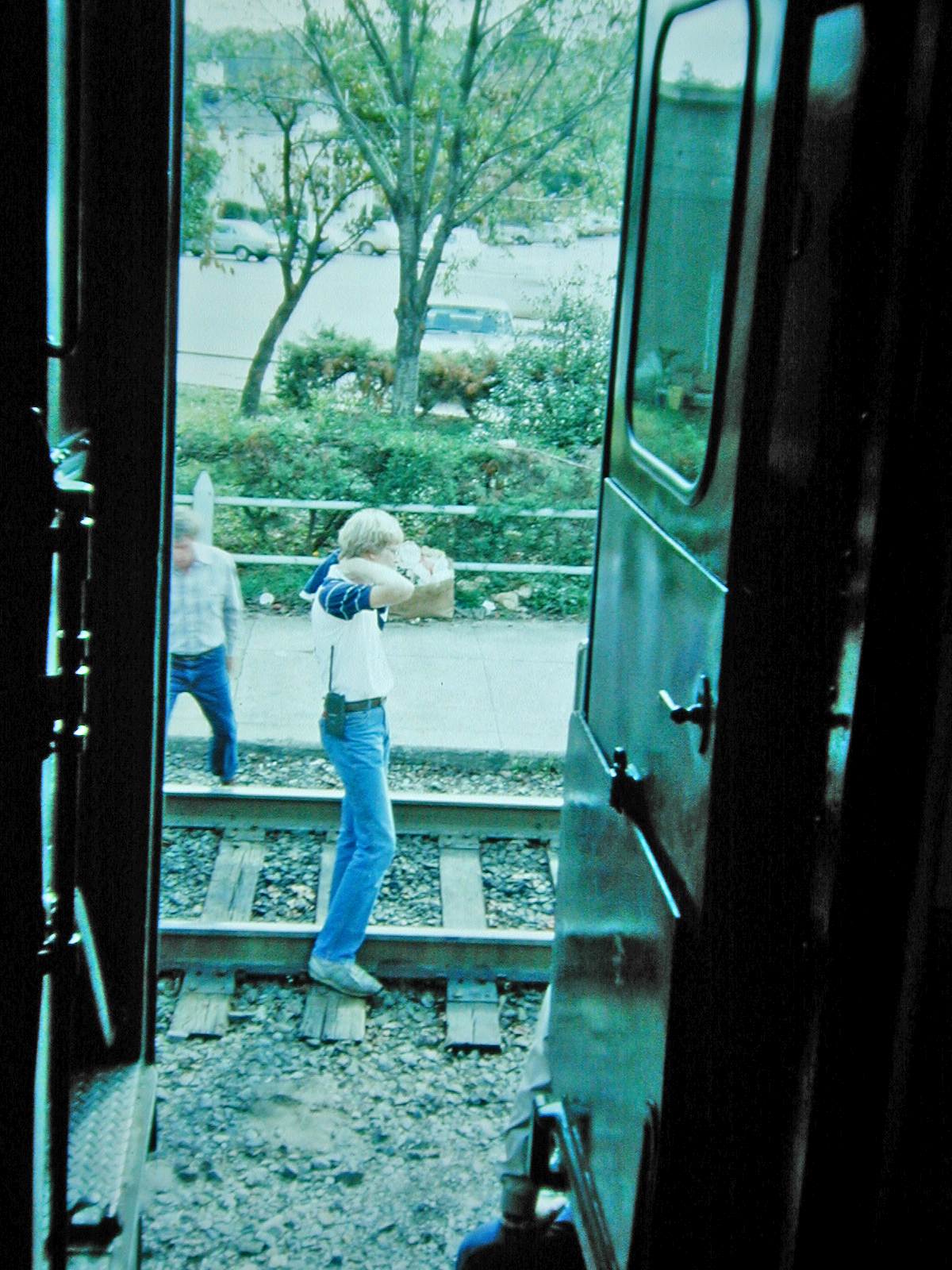
View from the Vestibule

View from the Eastern Overlook

Swamp Rose Mallow 110-1045_IMG.jpg

Union County, TN Courthouse - Maynardville, TN
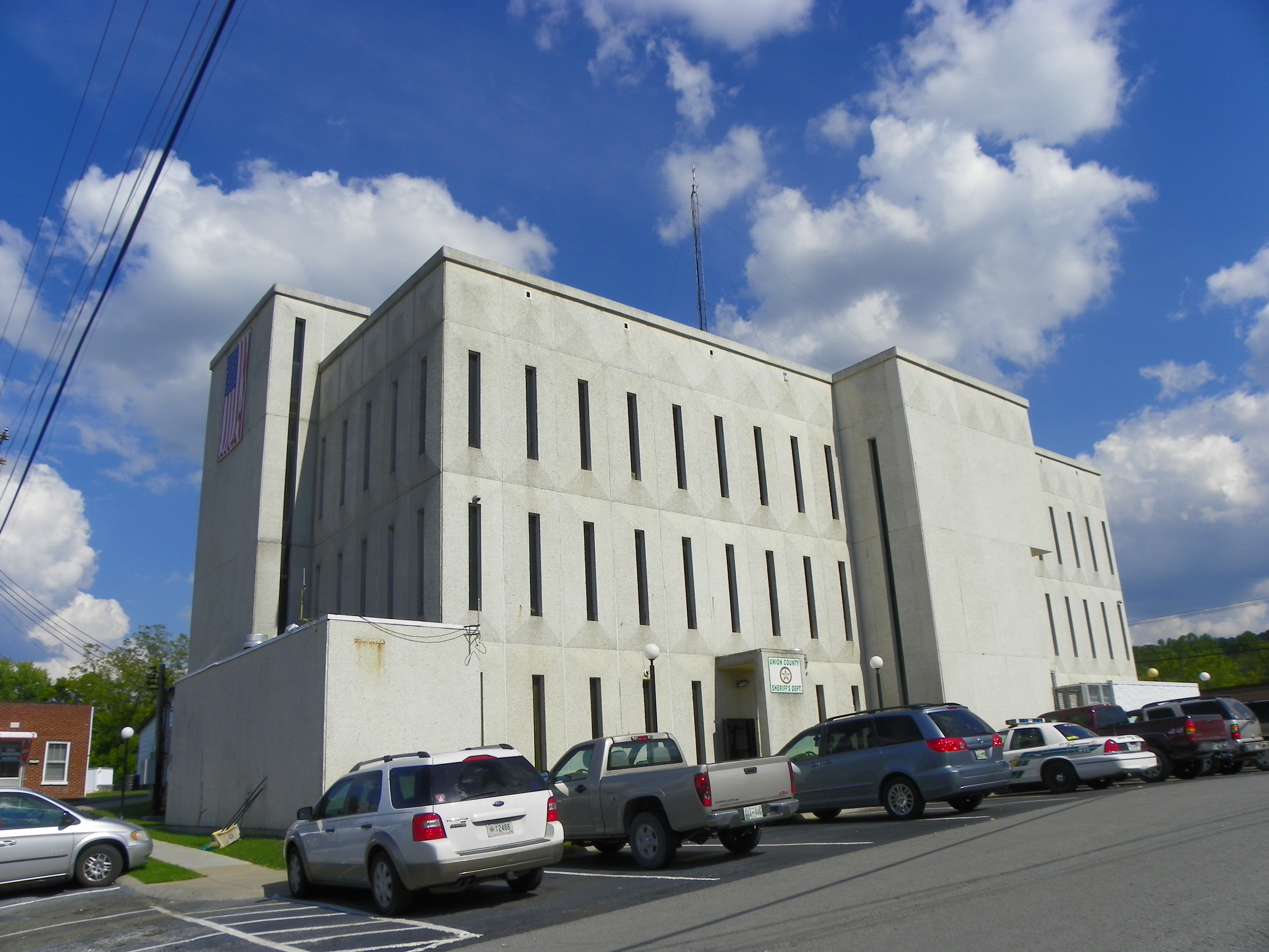
Union County Courthouse - Rear View
Old Tennessee Store
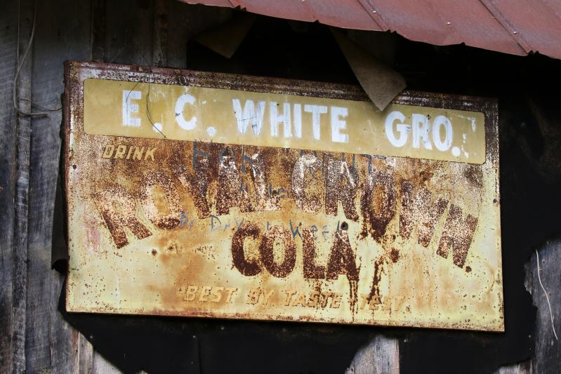
Tennessee Royal Crown Cola Sign

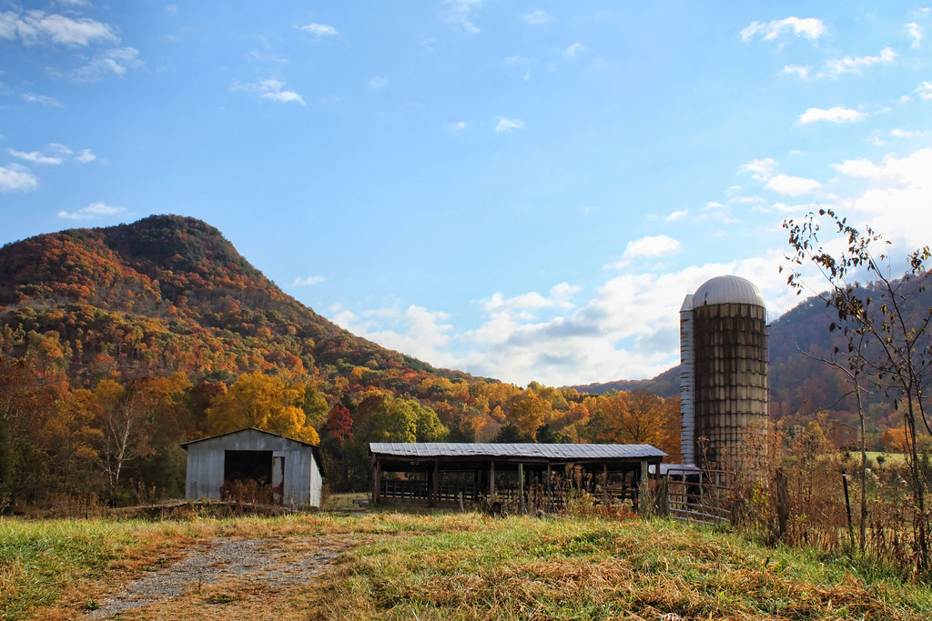
Tennesee Barn
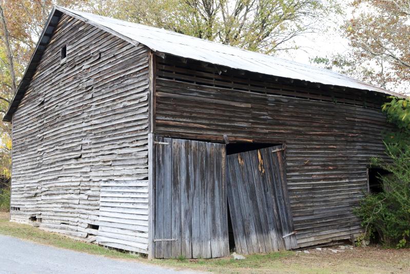
Tennesee Barn

Tennesee Cattle Ranch
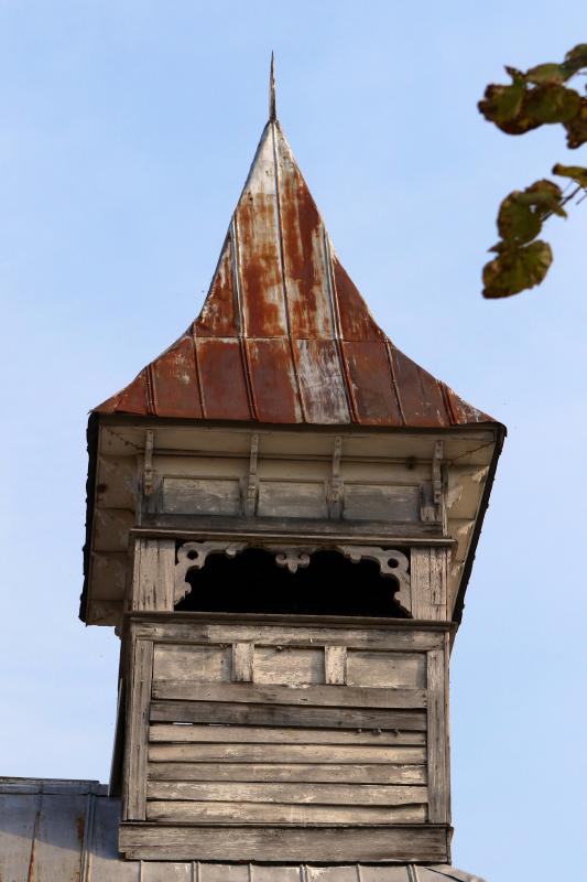
Church Steeple
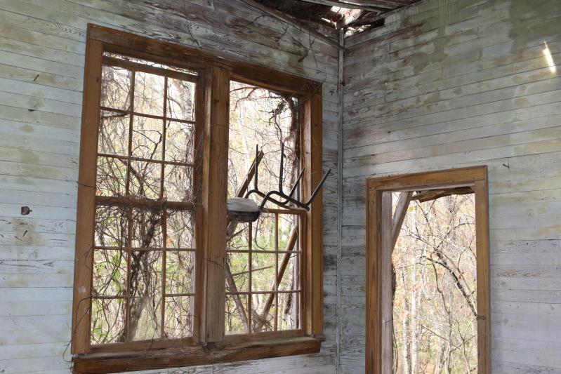
Old Tennessee One Room Schoolhouse Inside
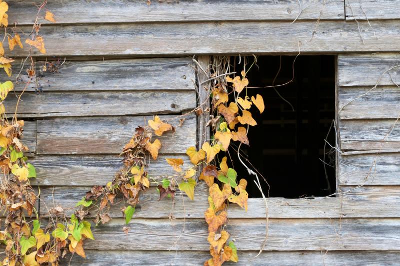
Tennesee Ivy Covered Barn
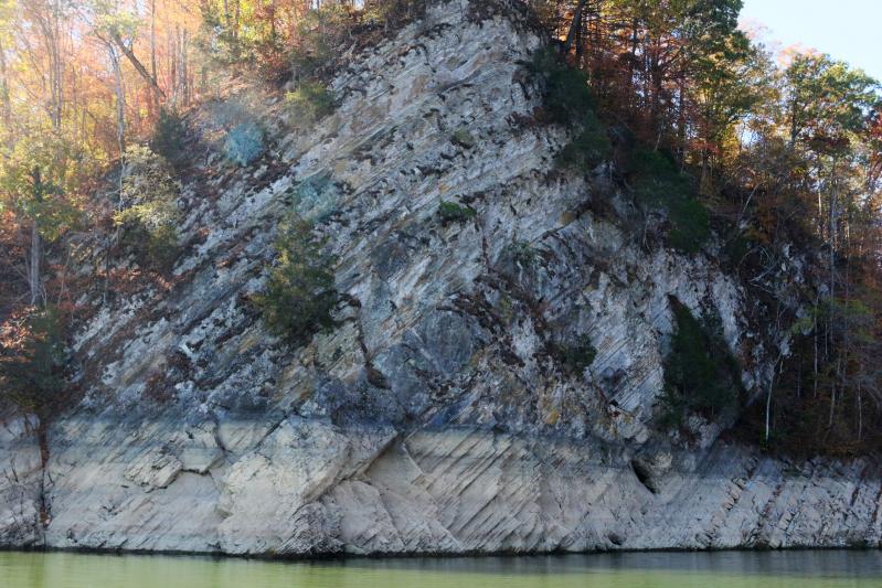
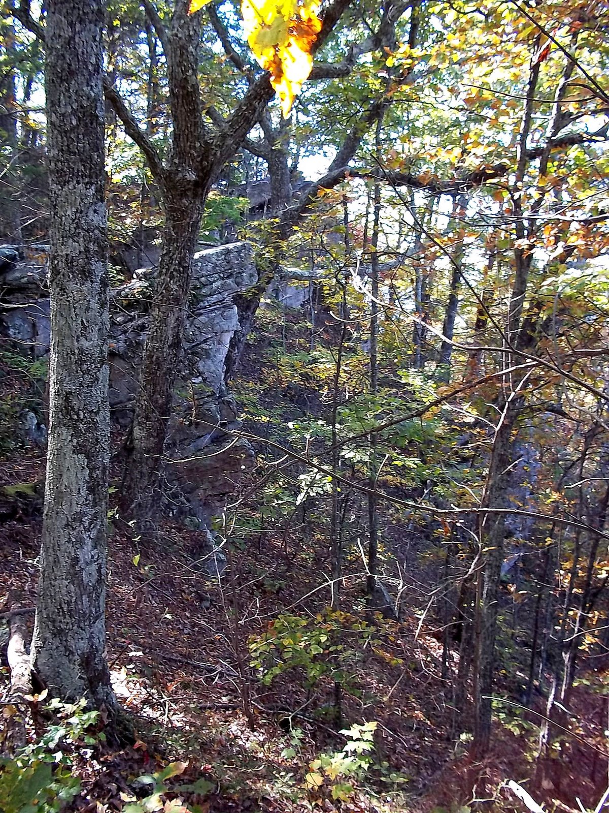
Rock Wall on Norris Lake TN

Old Tennessee Store

Tennesee Barn

Tennesee Church
Signal Point
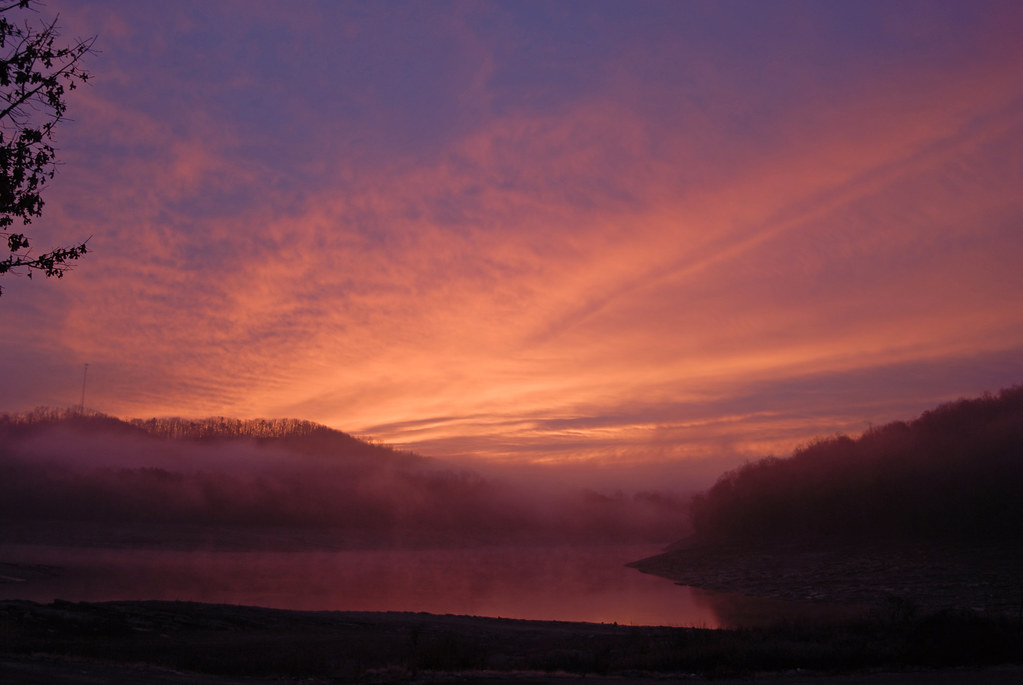
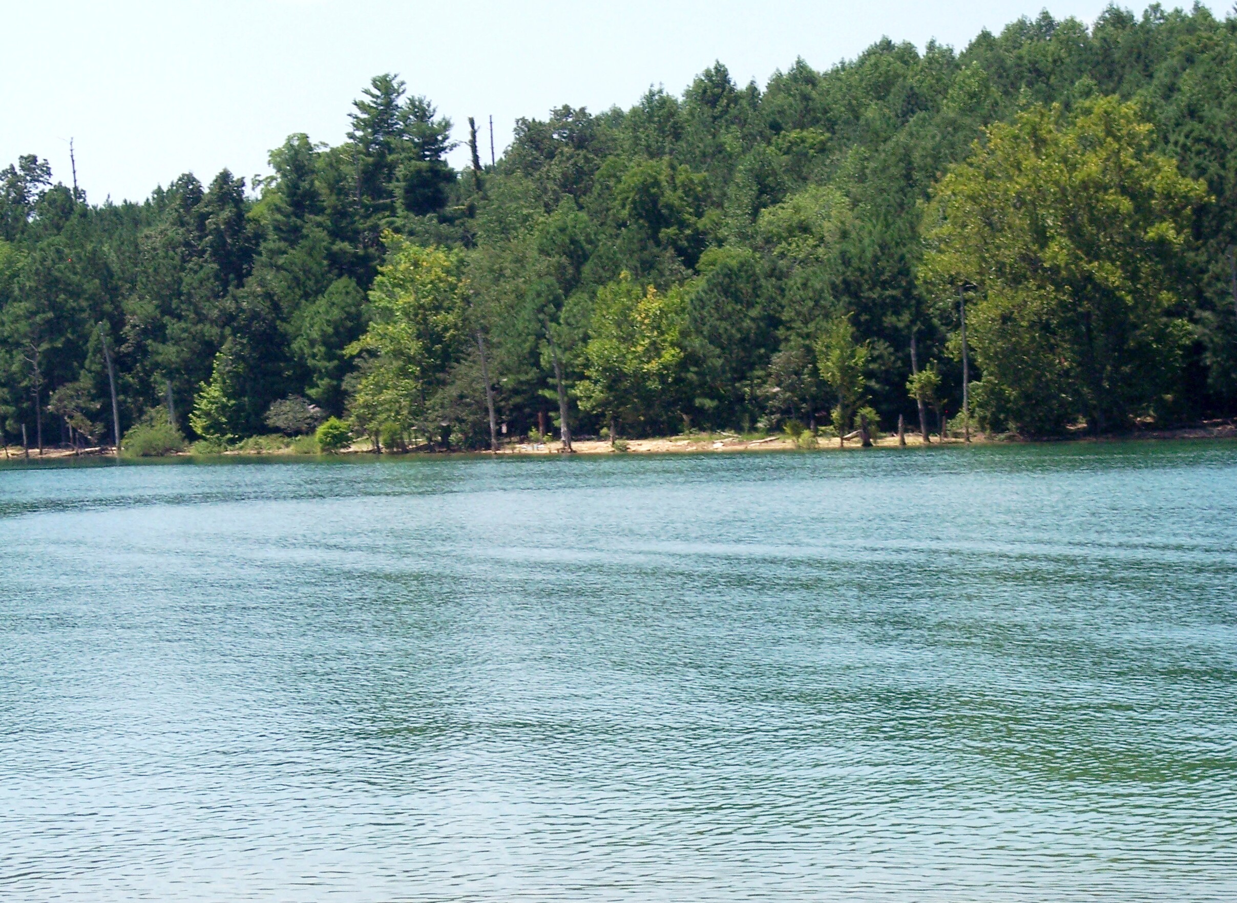
Sunrise over norris lake

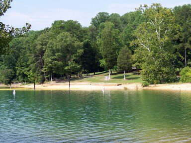
Why we love Sunset Bay. June 17, 2016

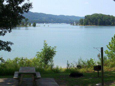
Last Cove

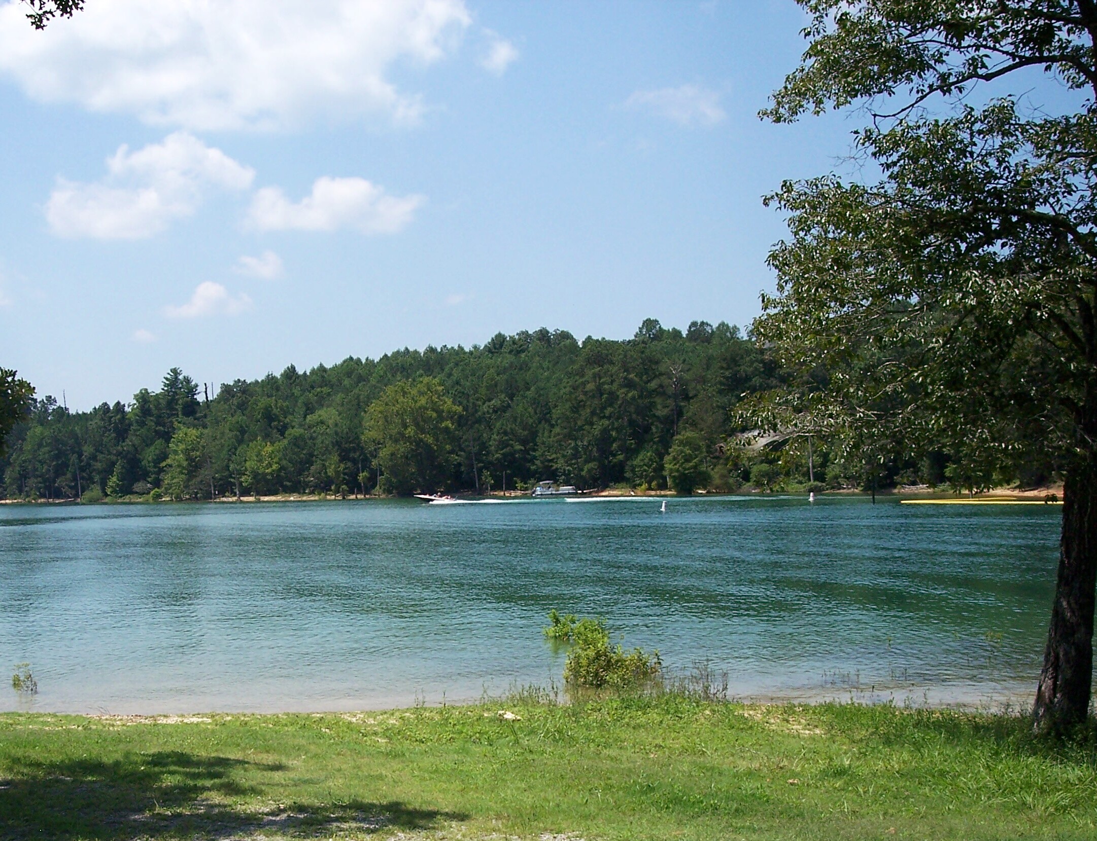
IMG_2033.JPG
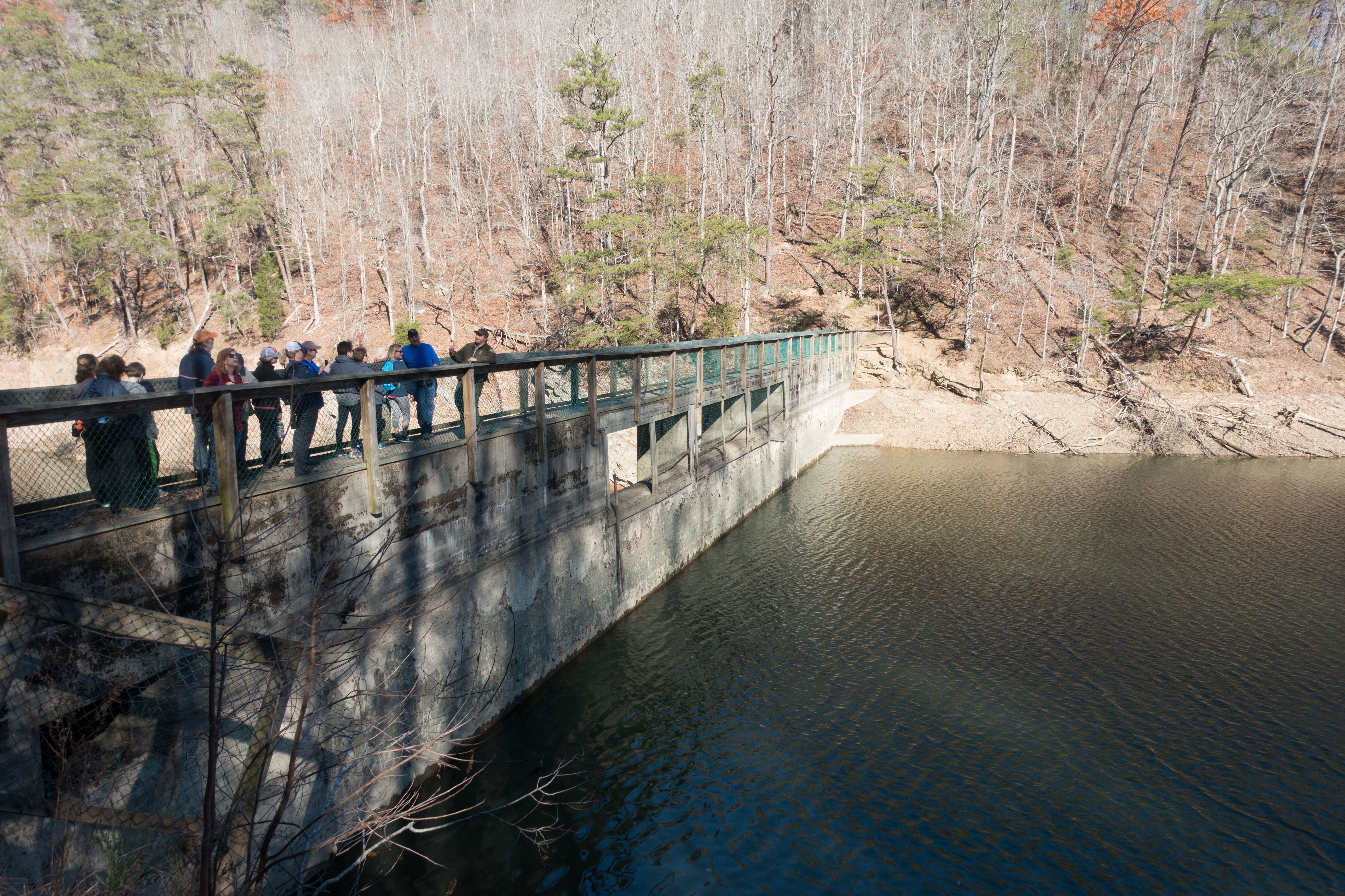
Big Ridge Dam
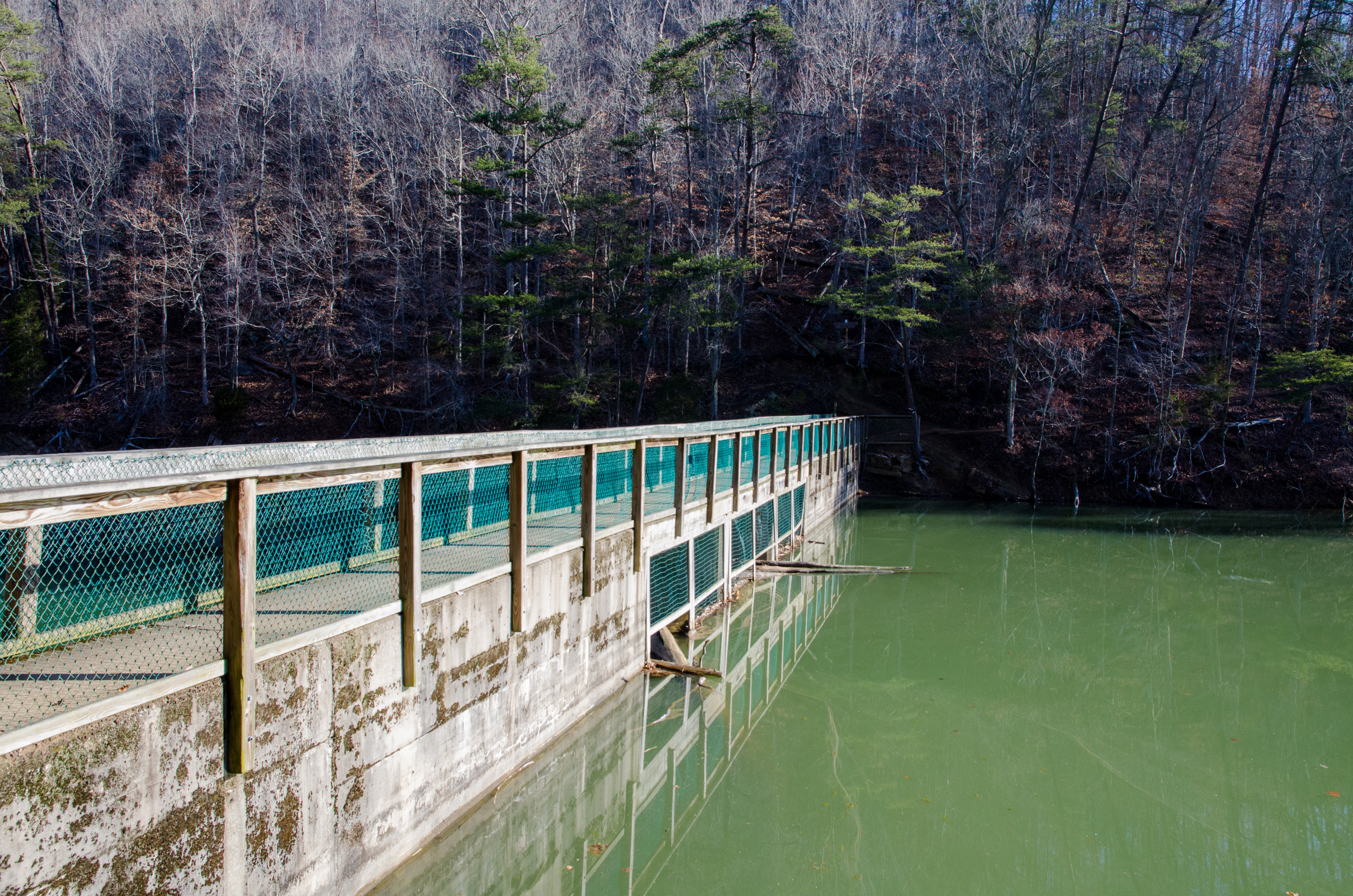
Big Ridge Dam
2014-10-16 11.02.21
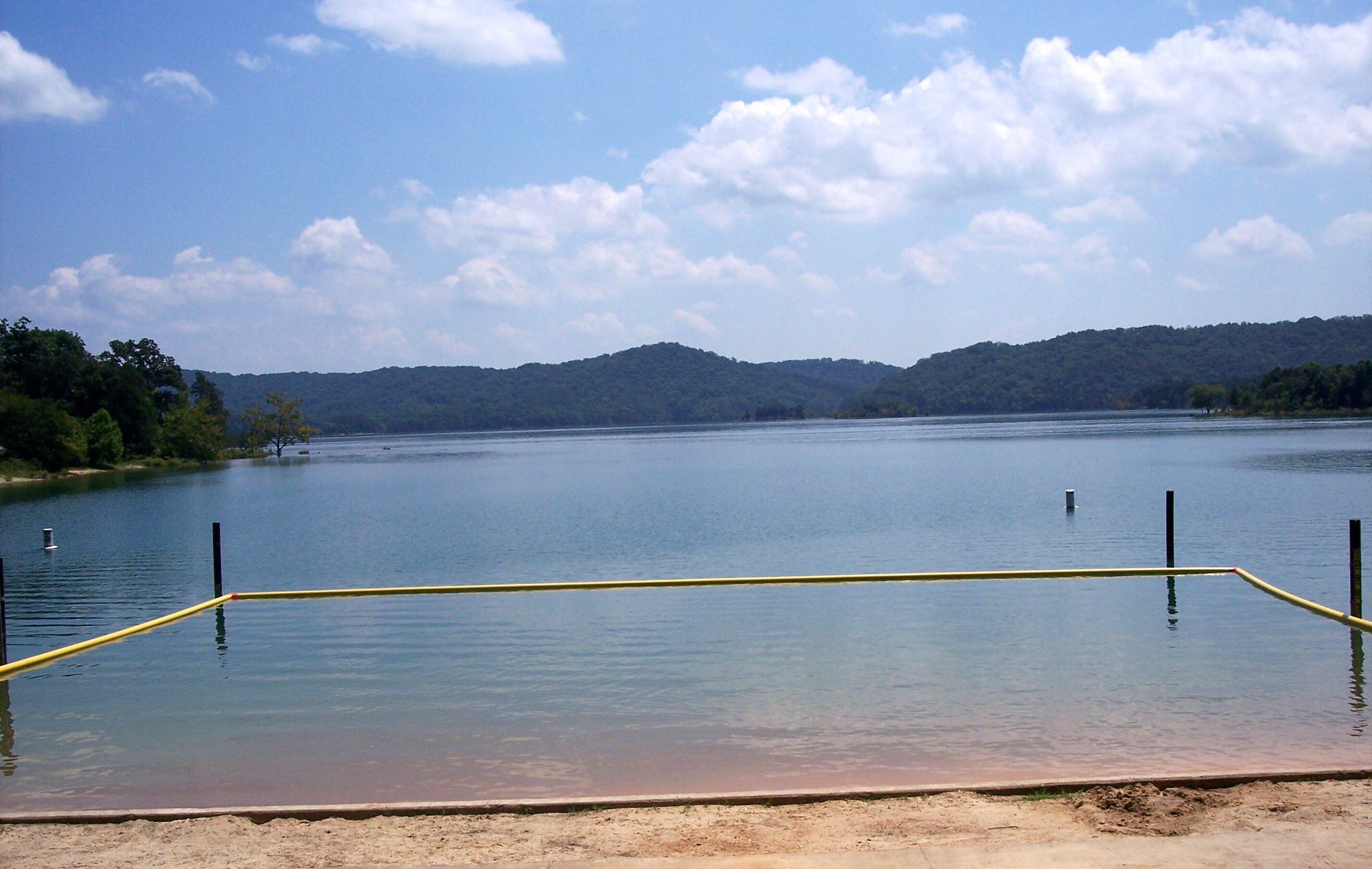
let the waters tell the story

D_MG_4895-Edit
2014-10-16 10.54.58
Loyston Point 2012

2014-10-16 10.54.50
Loyston Point 2012
Toward the East end
Loyston Point 2012
Loyston Point 2012
Loyston Point 2012
Loyston Point 2012
Topographic Map of Fox Hunter Rd, Maynardville, TN, USA
Find elevation by address:

Places near Fox Hunter Rd, Maynardville, TN, USA:
Maynardville
112 Lick Skillet Rd
Hickory Valley Rd, Maynardville, TN, USA
Hickory Valley Rd, Maynardville, TN, USA
108 Gregory Ln
1983 Hickory Valley Rd
Maynardville, TN, USA
334 Hubbs Grove Rd
2094 Hickory Valley Rd
Hickory Pointe Lane
Kettle Hollow Rd, Maynardville, TN, USA
236 Sugar Limb Rd
224 Sugar Limb Rd
Union County
Ridgeview Cir, Sharps Chapel, TN, USA
556 Hickory Star Rd
164 Gray Rd
109 Blue Diamond Point
356 Lakeview Dr
Sharps Chapel Road
Recent Searches:
- Elevation of E Brightview Ave, Pittsburgh, PA, USA
- Elevation of Cavendish Rd, Harringay Ladder, London N4 1RR, UK
- Elevation of 1 Zion Park Blvd, Springdale, UT, USA
- Elevation of Ganderbal
- Elevation map of Konkan Division, Maharashtra, India
- Elevation of Netaji Nagar, Hallow Pul, Kurla, Mumbai, Maharashtra, India
- Elevation of Uralsk, Kazakhstan
- Elevation of 45- Kahana Dr, Honokaa, HI, USA
- Elevation of New Mexico 30, NM-30, Española, NM, USA
- Elevation of Santmyer Way, Charles Town, WV, USA