Elevation of Fox Hill Rd, Greenville, NY, USA
Location: United States > New York > Greene County > Greenville > Greenville >
Longitude: -74.007937
Latitude: 42.3741107
Elevation: 257m / 843feet
Barometric Pressure: 98KPa
Elevation Map:
Satellite Map:
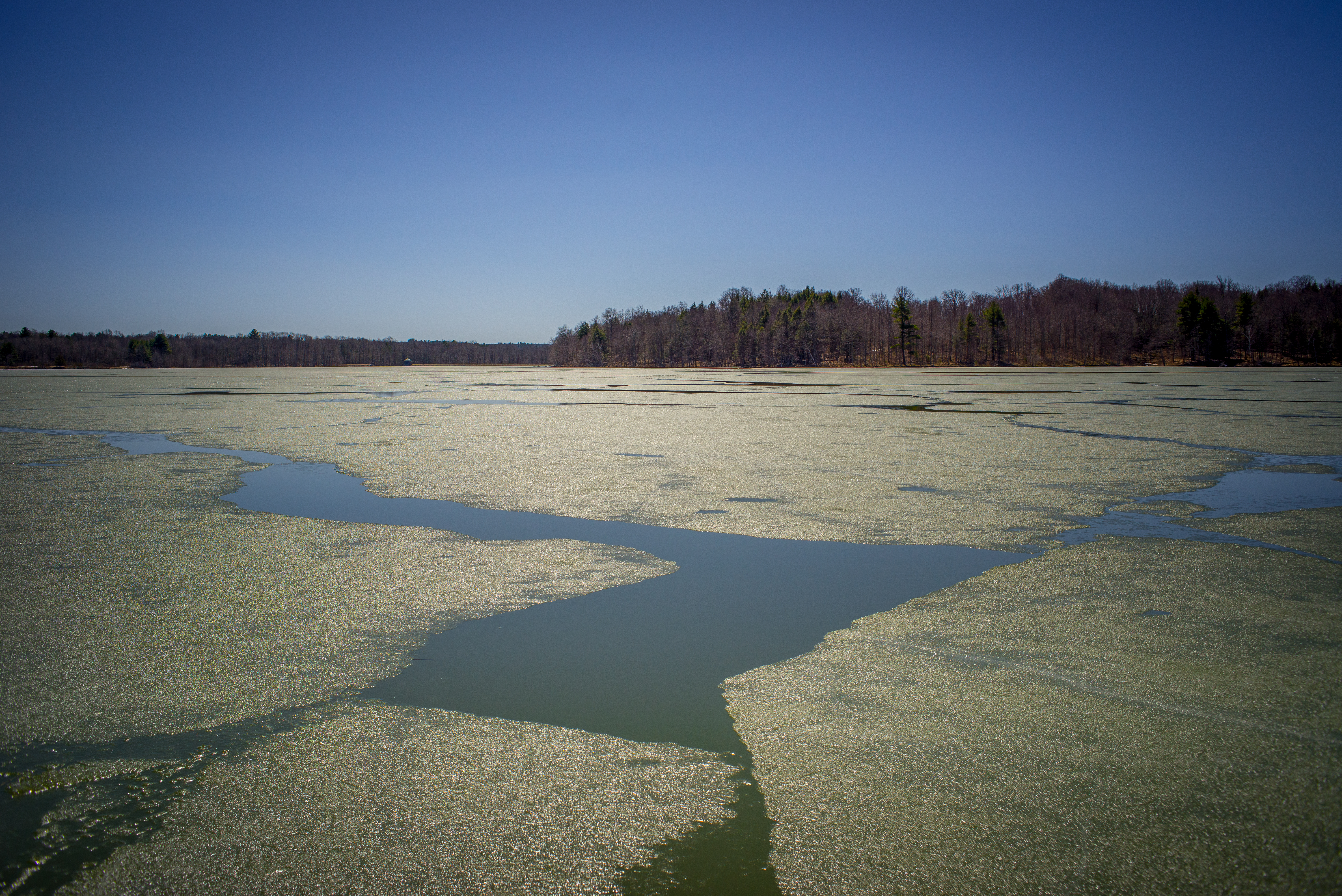
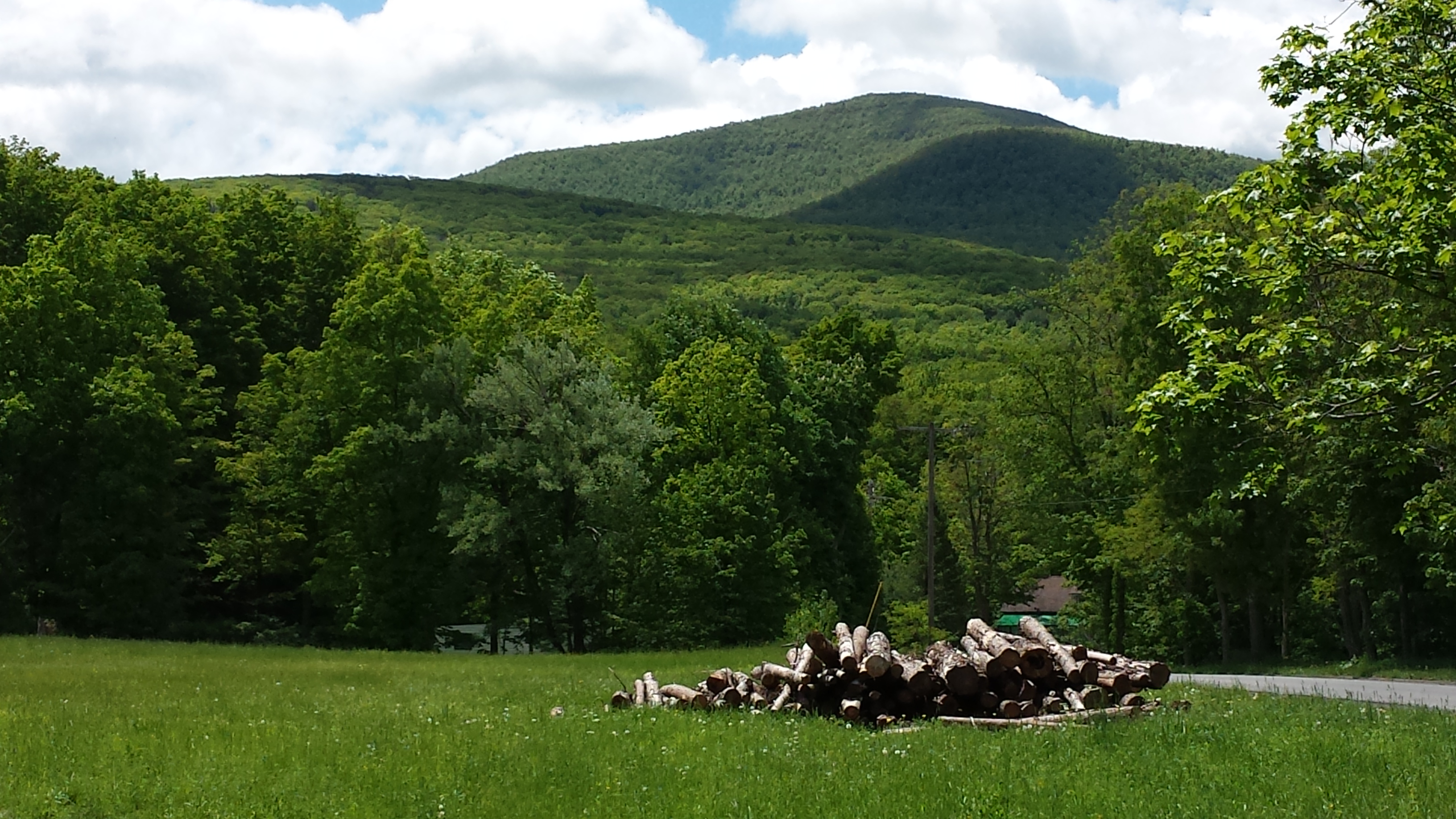
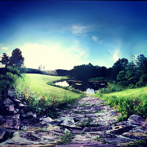
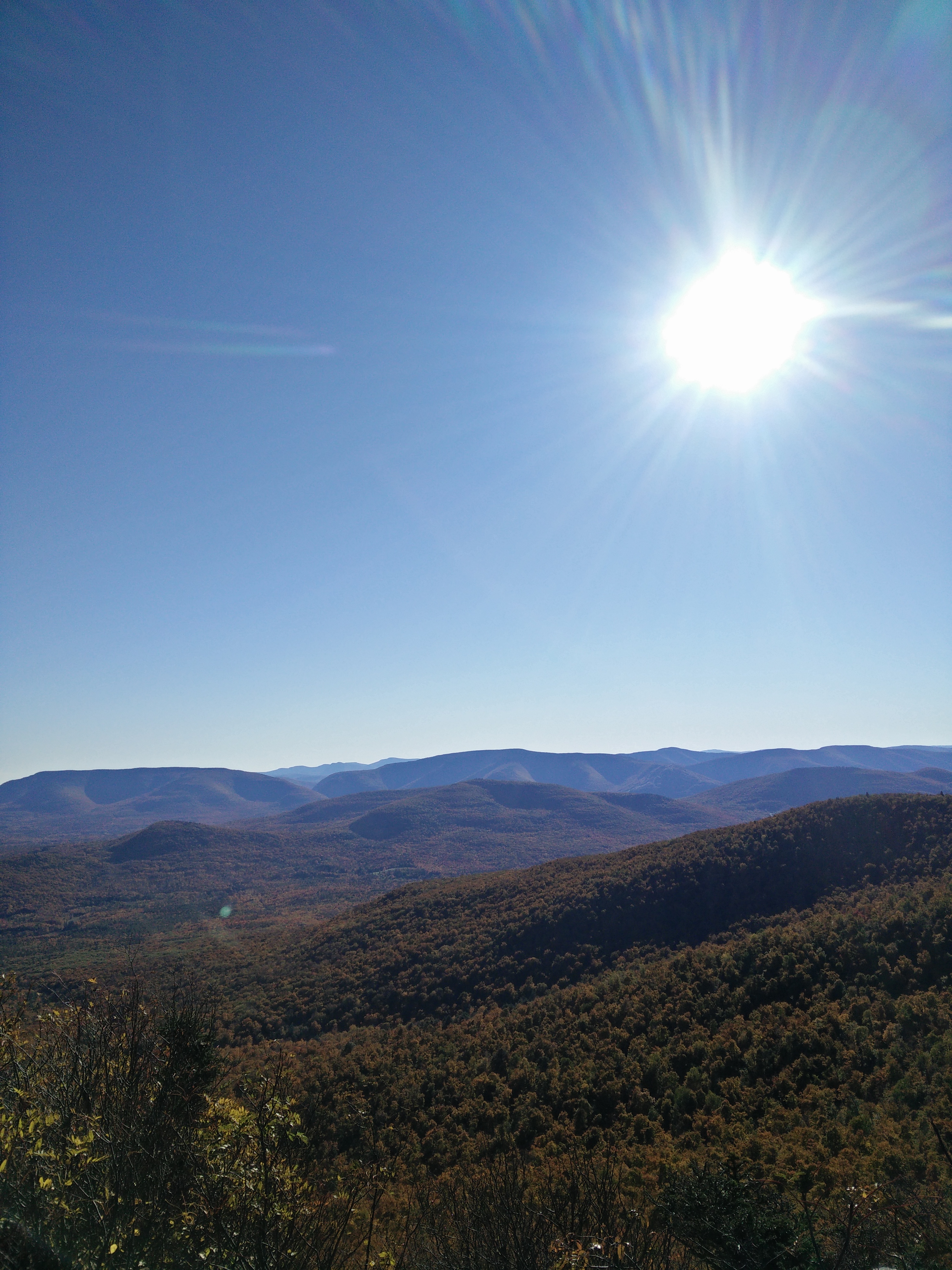
Related Photos:

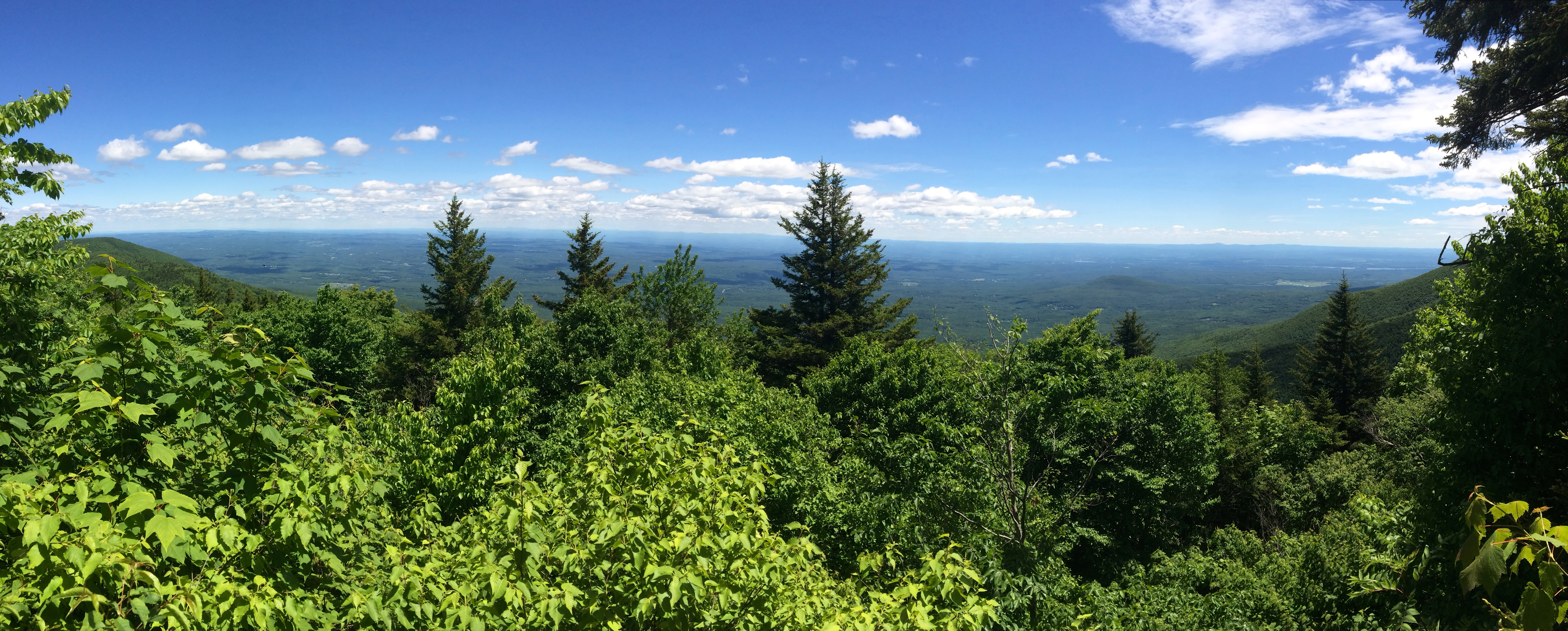
View From Black Dome Mt
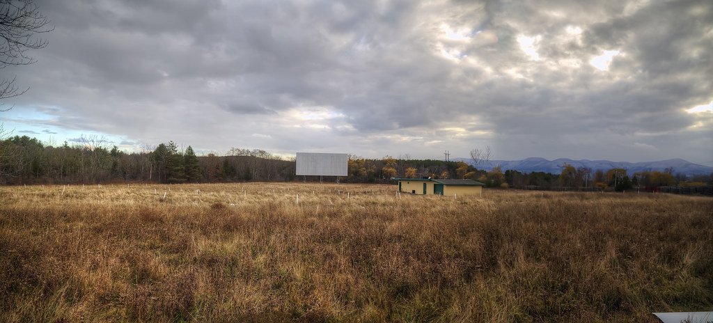
Screen with a View
View before dinner.
View From Black Dome Mt

Buttermilk Falls - Lower
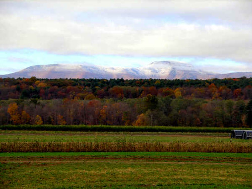
The View
The View from Sandy Plains

View From Black Dome Mt
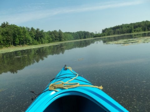
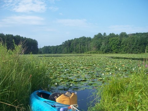
kayak view
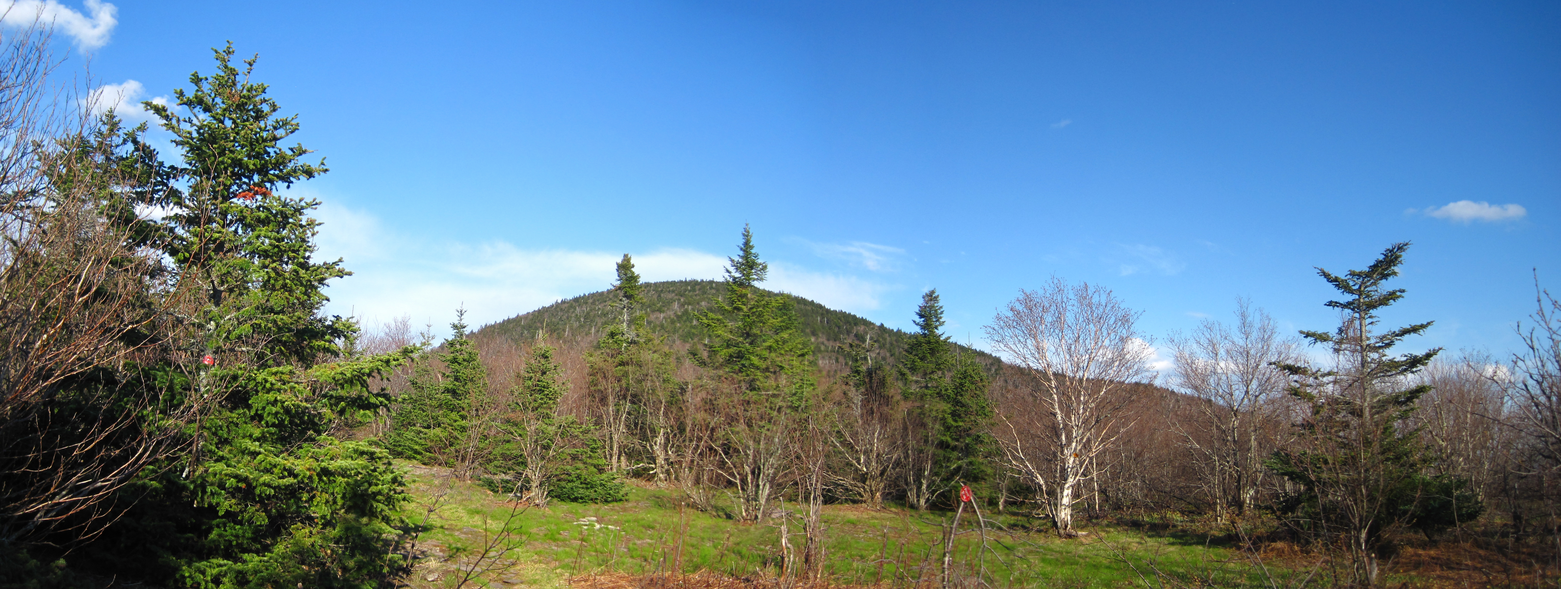
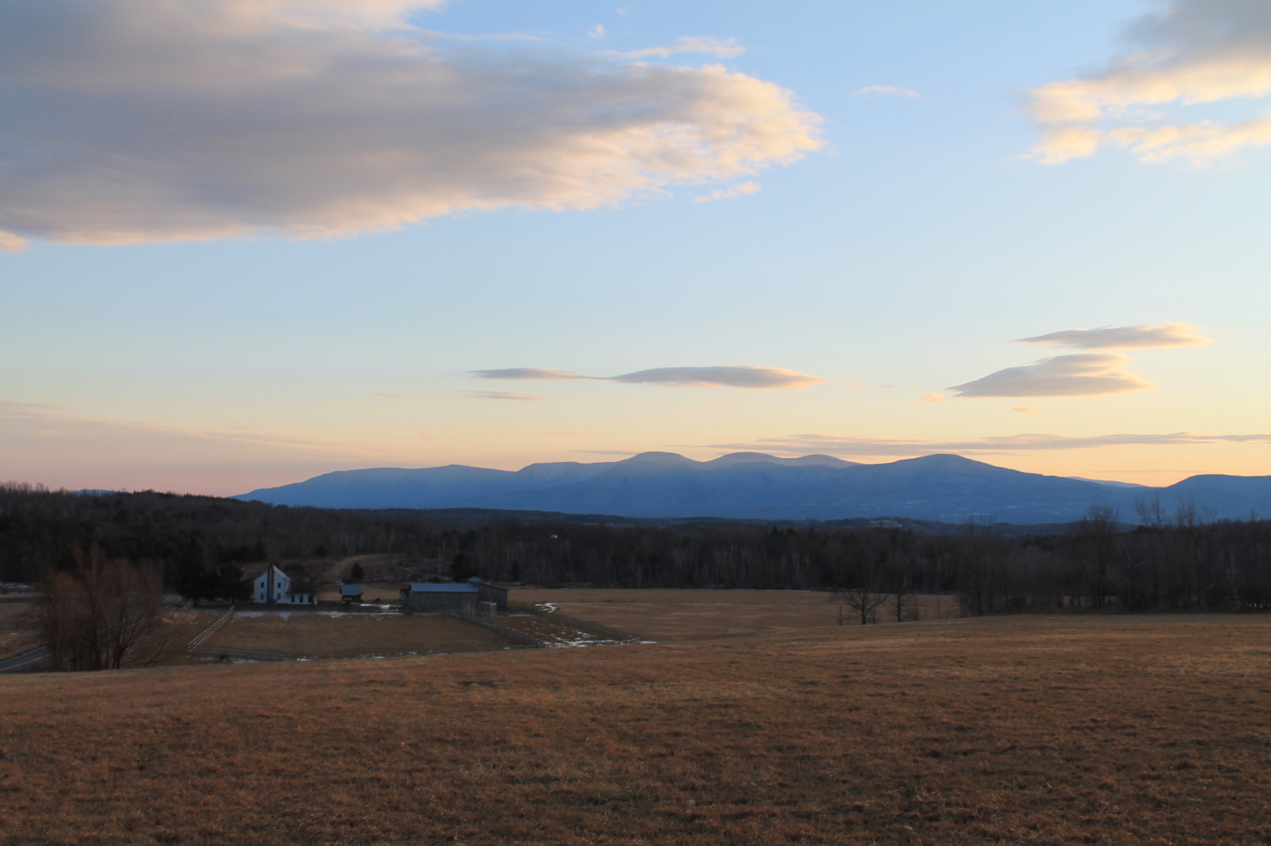
Spring view of Thomas Cole Mountain.

View north from Burnt Knob
View from my hotel room
1st View

View From Black Dome Mt

View From Black Dome Mt
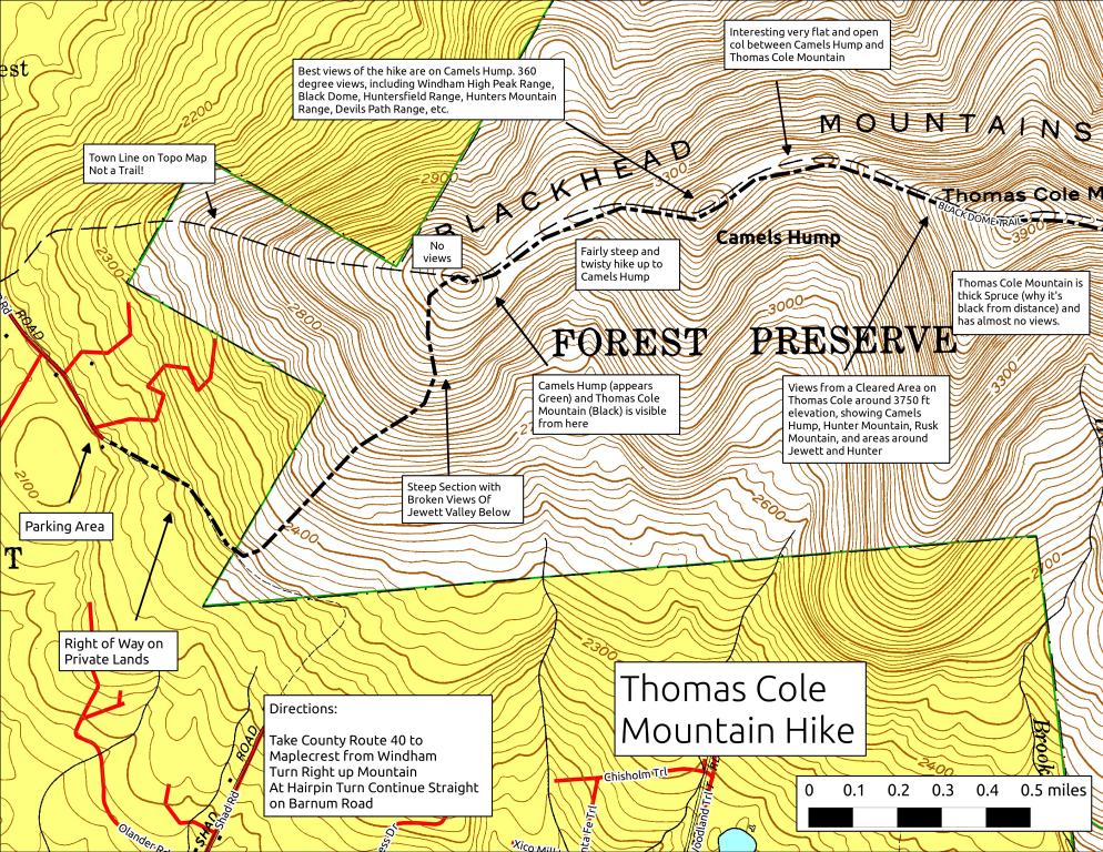
Thomas Cole Mountain Hike
View of TriMount and Other Catskills
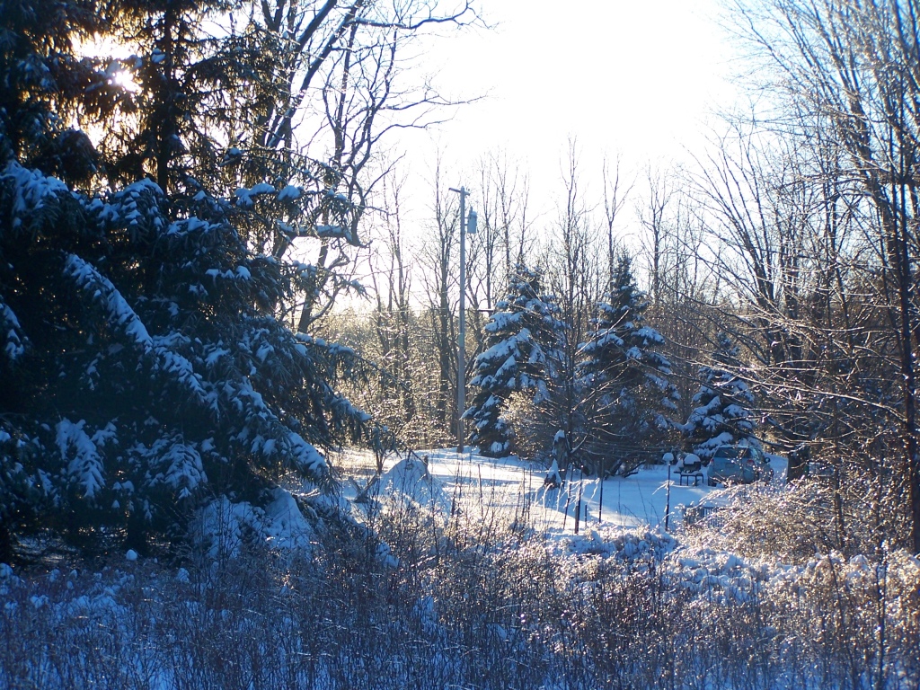
Ice Covered Yard at Parent's House. It was very cold out, but the views certainly where real amazing.
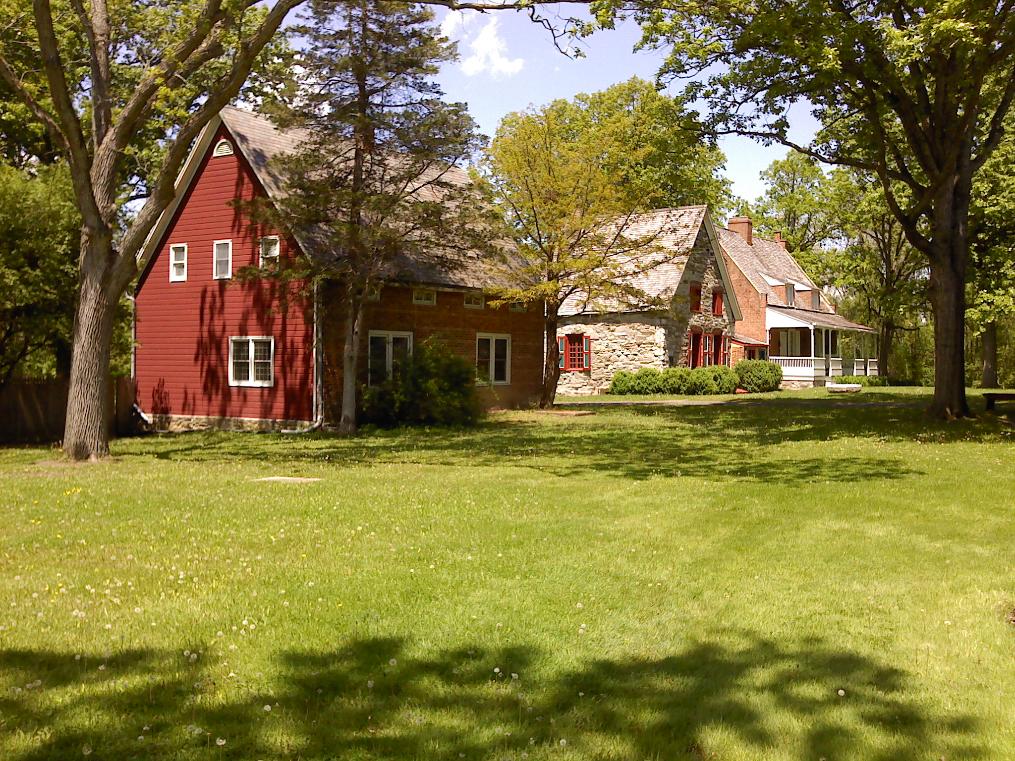
Bronck Property
kayak view

Scenic View
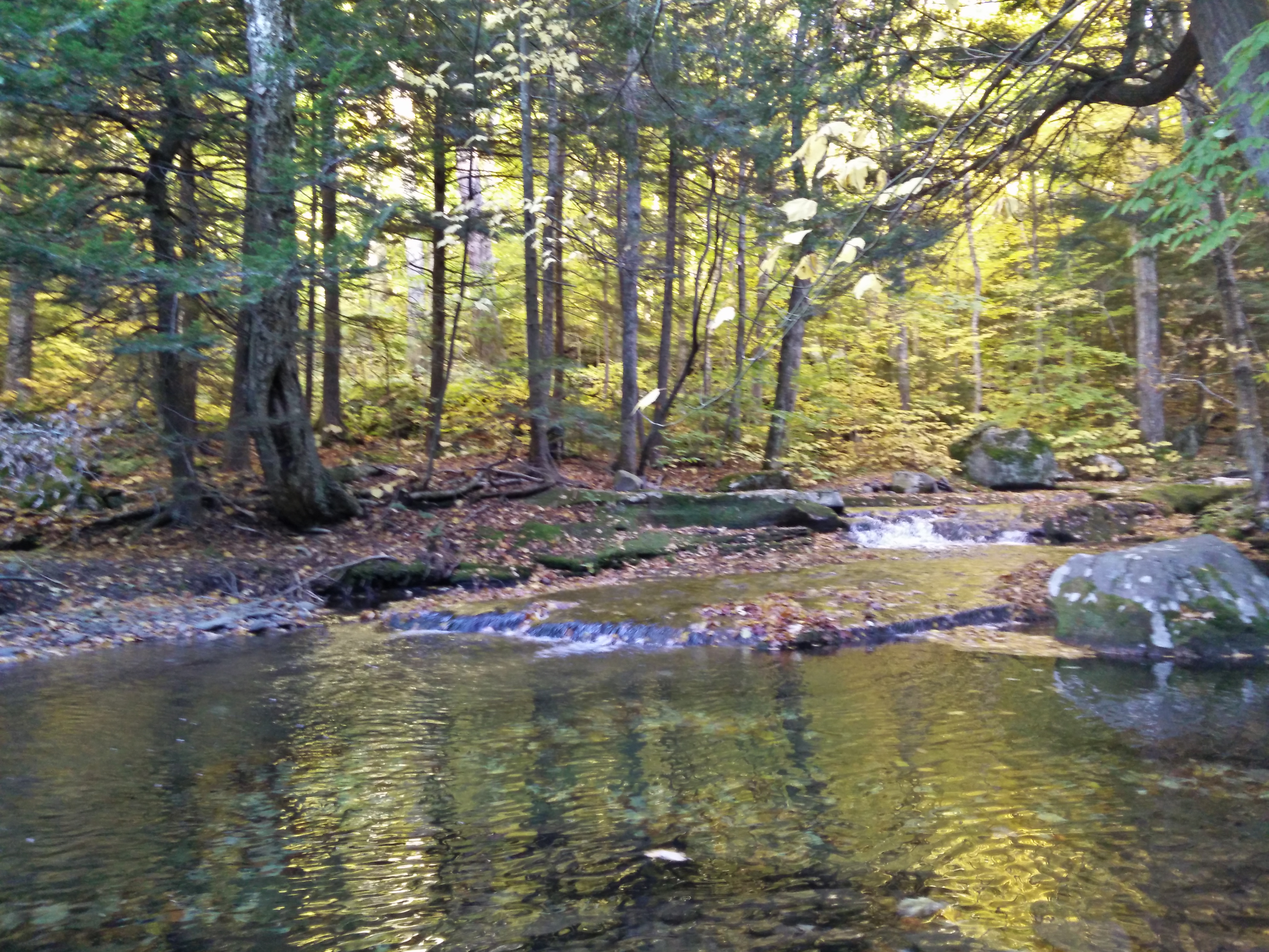
Creek on trail of Black Dome

Buttermilk Falls - Upper
In the Catskills

From one to the next

Indian Head Wilderness from Black Dome Mountain
basic creek reservoir

In the Catskills
Catskill Mountains, NY

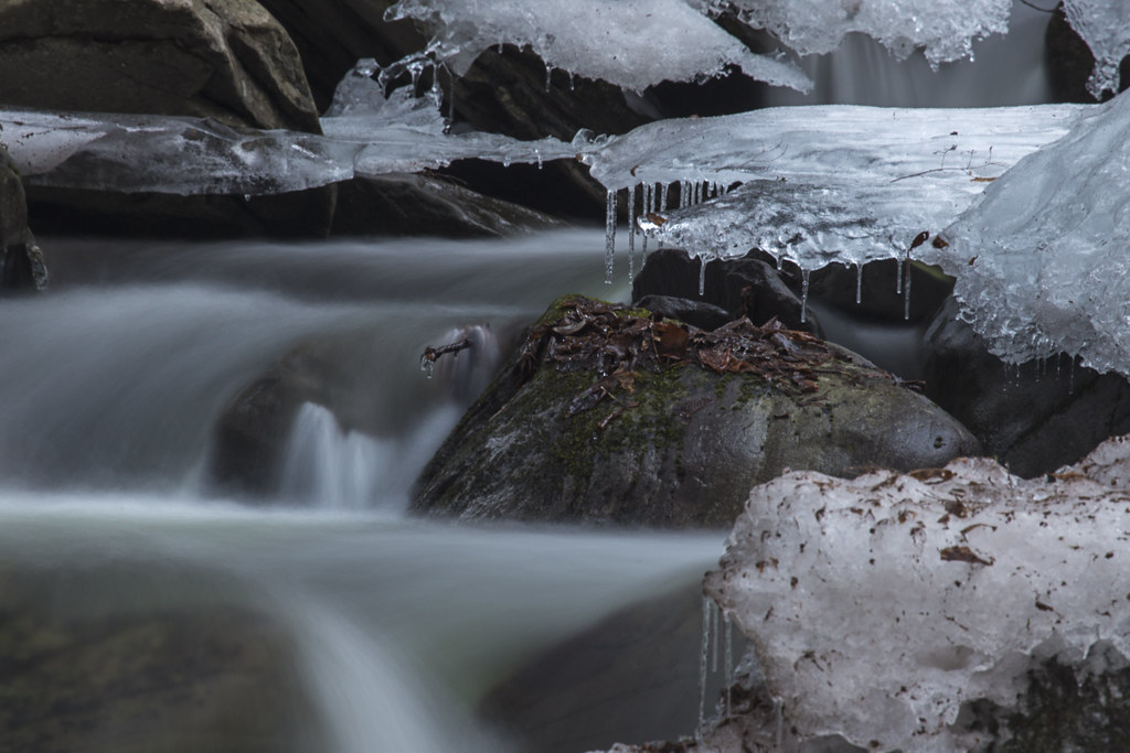
Buttermilk Falls - Catskills
perfectly serene
In the Catskills

©JZD-15

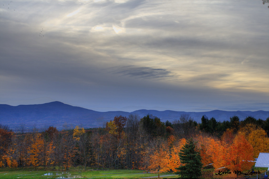
Summer Nights
Topographic Map of Fox Hill Rd, Greenville, NY, USA
Find elevation by address:

Places near Fox Hill Rd, Greenville, NY, USA:
Greenville
170 Sunny Hill Rd
Co Rd 41, Greenville, NY, USA
500 Co Rd 35
2121 Co Rd 41
10071 Ny-32
4660 Ny-81
170 E Red Mill Rd
4770 Ny-81
73 Turon Rd
Greenville
7 Ingalside Rd, Greenville, NY, USA
152 Skyview Dr
193 Skyview Dr
NY-81, Surprise, NY, USA
2759 County Rte 26
South Westerlo
Co Rd, Westerlo, NY, USA
6659 Ny-32
6656 Ny-32
Recent Searches:
- Elevation of Congressional Dr, Stevensville, MD, USA
- Elevation of Bellview Rd, McLean, VA, USA
- Elevation of Stage Island Rd, Chatham, MA, USA
- Elevation of Shibuya Scramble Crossing, 21 Udagawacho, Shibuya City, Tokyo -, Japan
- Elevation of Jadagoniai, Kaunas District Municipality, Lithuania
- Elevation of Pagonija rock, Kranto 7-oji g. 8"N, Kaunas, Lithuania
- Elevation of Co Rd 87, Jamestown, CO, USA
- Elevation of Tenjo, Cundinamarca, Colombia
- Elevation of Côte-des-Neiges, Montreal, QC H4A 3J6, Canada
- Elevation of Bobcat Dr, Helena, MT, USA