Elevation of Fowler School Rd, Loris, SC, USA
Location: United States > South Carolina > Horry County > Loris >
Longitude: -78.89062
Latitude: 34.103871
Elevation: 31m / 102feet
Barometric Pressure: 101KPa
Elevation Map:
Satellite Map:
Related Photos:

It Lies Beneath

Moss Abstract

Nose Knows

Such a reception--just for us
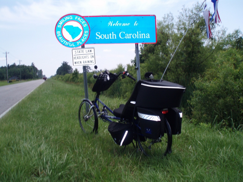
The official SC Welcome Sign

We have arrived

Shattered View

Twin City Airport-Runway 8

20160731_162317(0)

Sunset over Tabor City Sports Complex

Road Trip April 2014 310
Topographic Map of Fowler School Rd, Loris, SC, USA
Find elevation by address:

Places near Fowler School Rd, Loris, SC, USA:
1974 State Rd S-26-140
957 Sc-9
State Rd S-26-, Loris, SC, USA
1100 State Rte 9 Business
4375 Harrelson Ave
190 State Rd S-26-570
Russ Road
4150 Harrelson Ave
Willow Street
120 Fox Dale Dr
556 Longleaf Dr
3204 Casey St
W 5th St, Tabor City, NC, USA
Tabor City
Main Street & Railroad Avenue
Loris
4249 Walnut St
3610 Broad St
5329 Gaylan St
420 Sc-45
Recent Searches:
- Elevation of Gateway Blvd SE, Canton, OH, USA
- Elevation of East W.T. Harris Boulevard, E W.T. Harris Blvd, Charlotte, NC, USA
- Elevation of West Sugar Creek, Charlotte, NC, USA
- Elevation of Wayland, NY, USA
- Elevation of Steadfast Ct, Daphne, AL, USA
- Elevation of Lagasgasan, X+CQH, Tiaong, Quezon, Philippines
- Elevation of Rojo Ct, Atascadero, CA, USA
- Elevation of Flagstaff Drive, Flagstaff Dr, North Carolina, USA
- Elevation of Avery Ln, Lakeland, FL, USA
- Elevation of Woolwine, VA, USA