Elevation of Fournier, ON K0B, Canada
Location: Canada > Ontario > Prescott And Russell United Counties > The Nation Municipality >
Longitude: -74.898641
Latitude: 45.441299
Elevation: 60m / 197feet
Barometric Pressure: 101KPa
Elevation Map:
Satellite Map:
Related Photos:
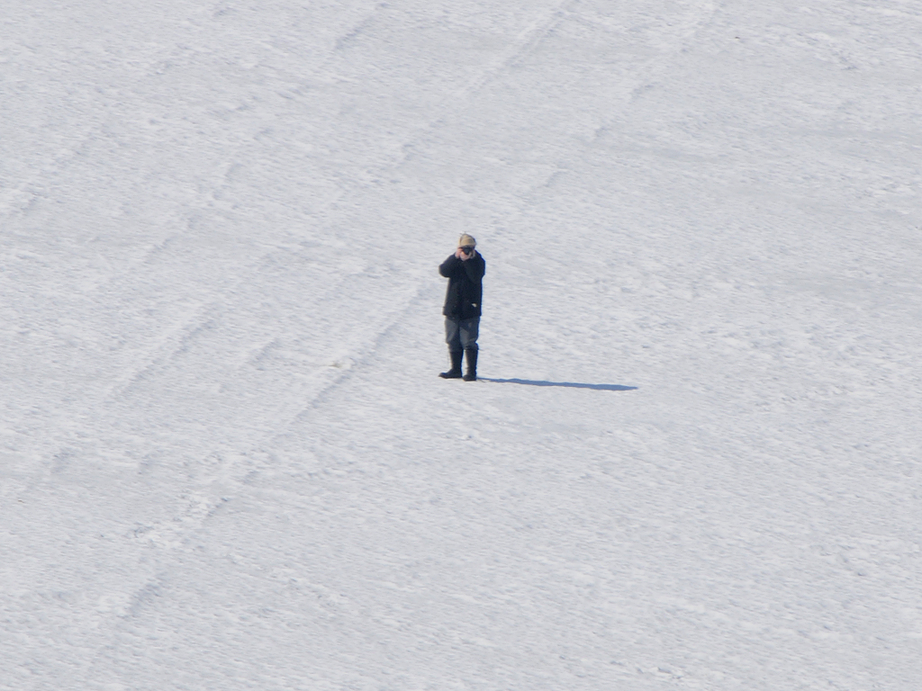
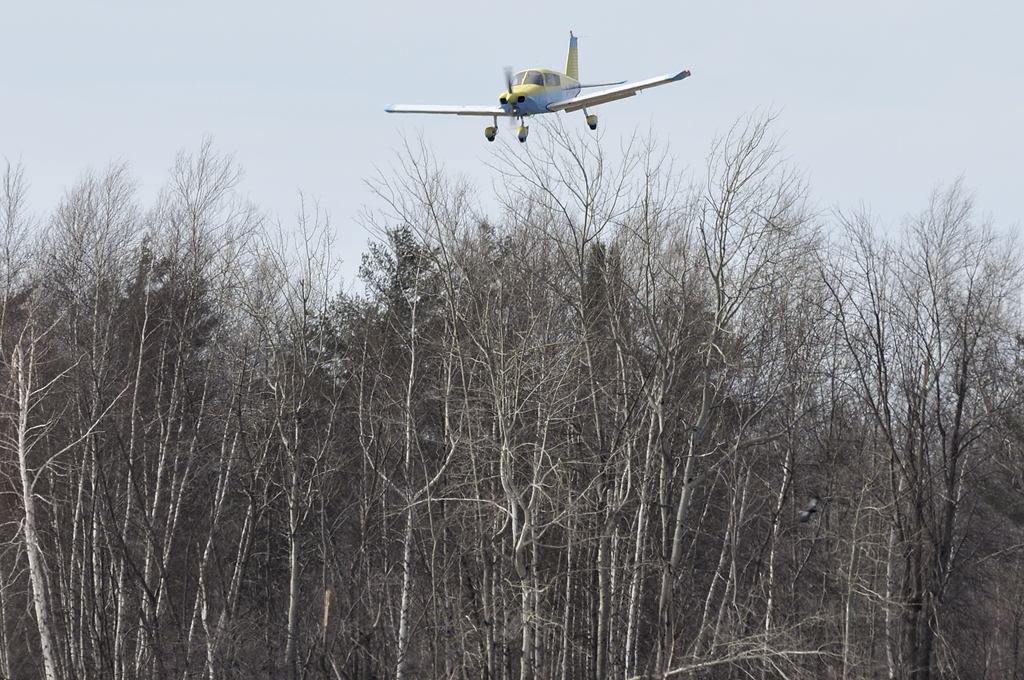
Bill Fawcett C-FYBY @ Pendleton CNF3 14 mr 2009 DSC_8130f
Camera Roll-2173

138/365 -- iridescent
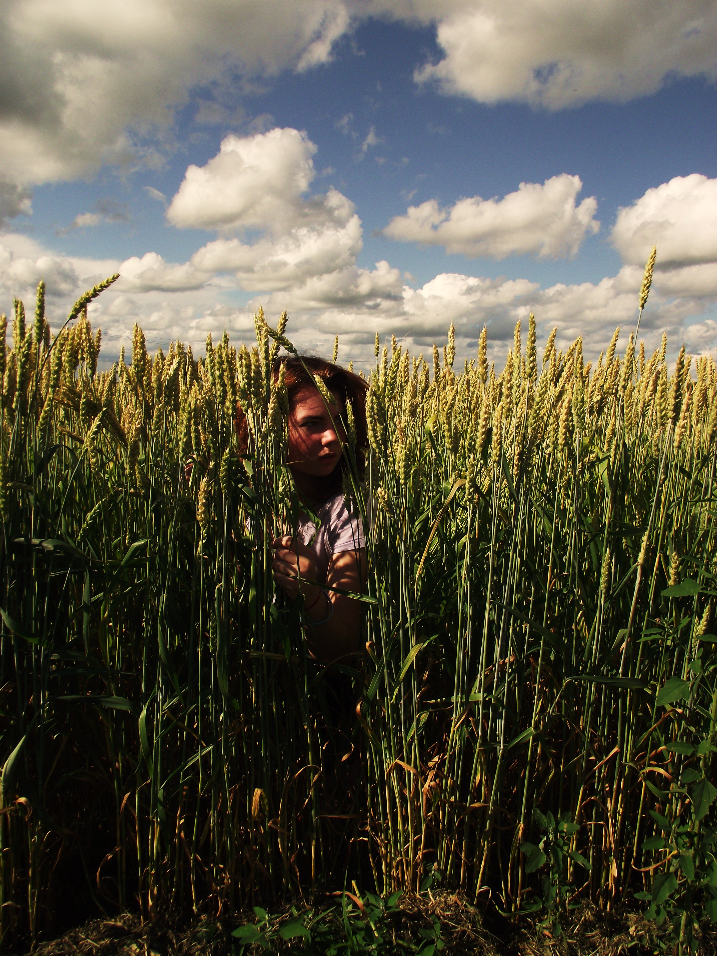
139/365 -- somwhere i belong
Time to take out the clippers
Rainbow Rays

Lemieux Landslide 5841
C-FZDP Piper PA-28-140 Cherokee @ RVA Pendleton Fly-in CNF3 13 mr 2010 DSC_0044m
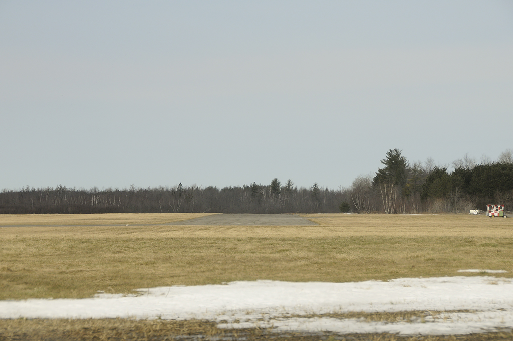
Piste gazonnée - turf runway 31 parallèlle @ gravel taxiway RVA Pendleton Fly-in CNF3 13 mr 2010 DSC_9644m
C-FYBY @ Pendleton CNF3 14 mr 2009 DSC_8068f

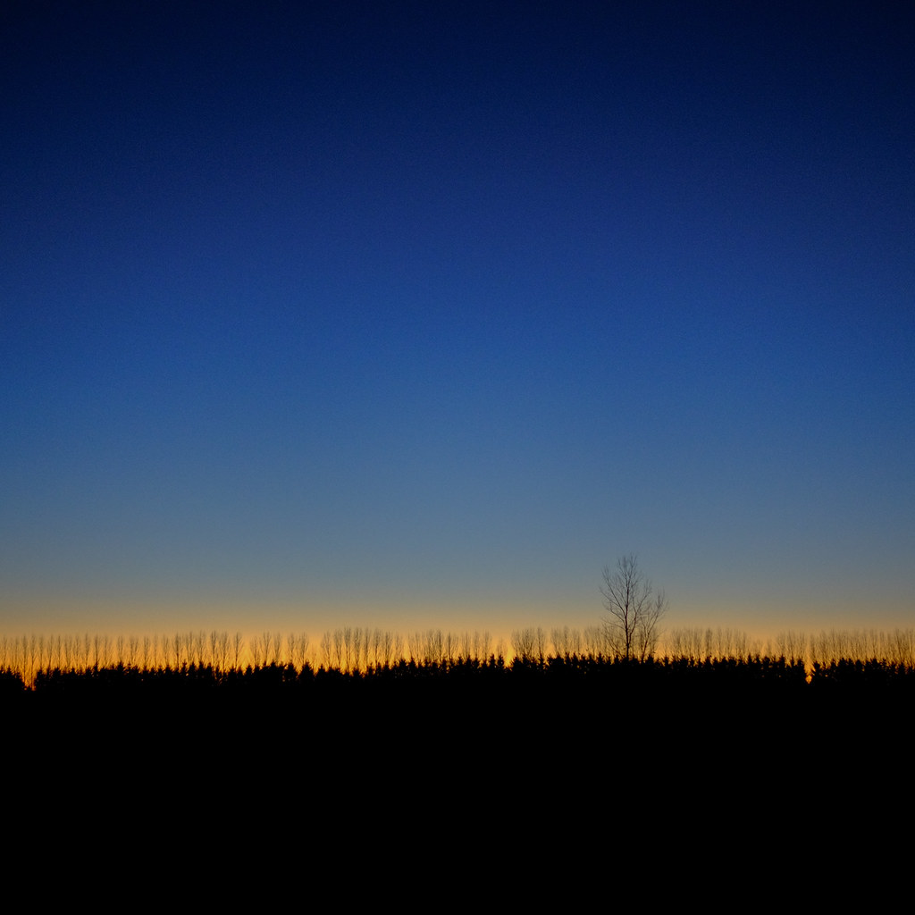
21 Mars 2010 (6)
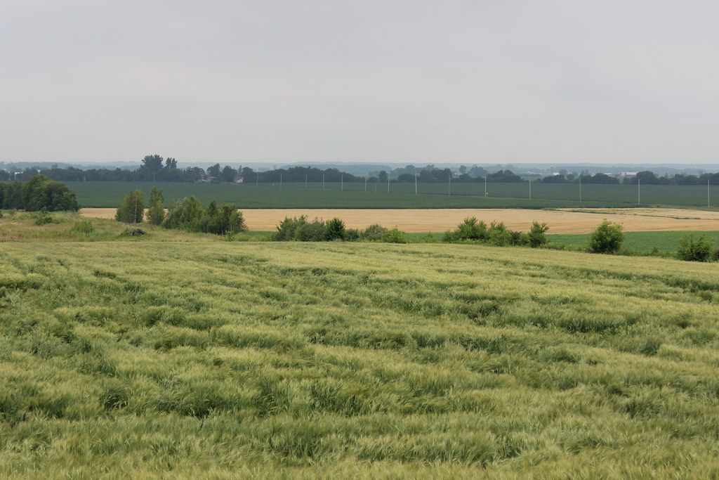
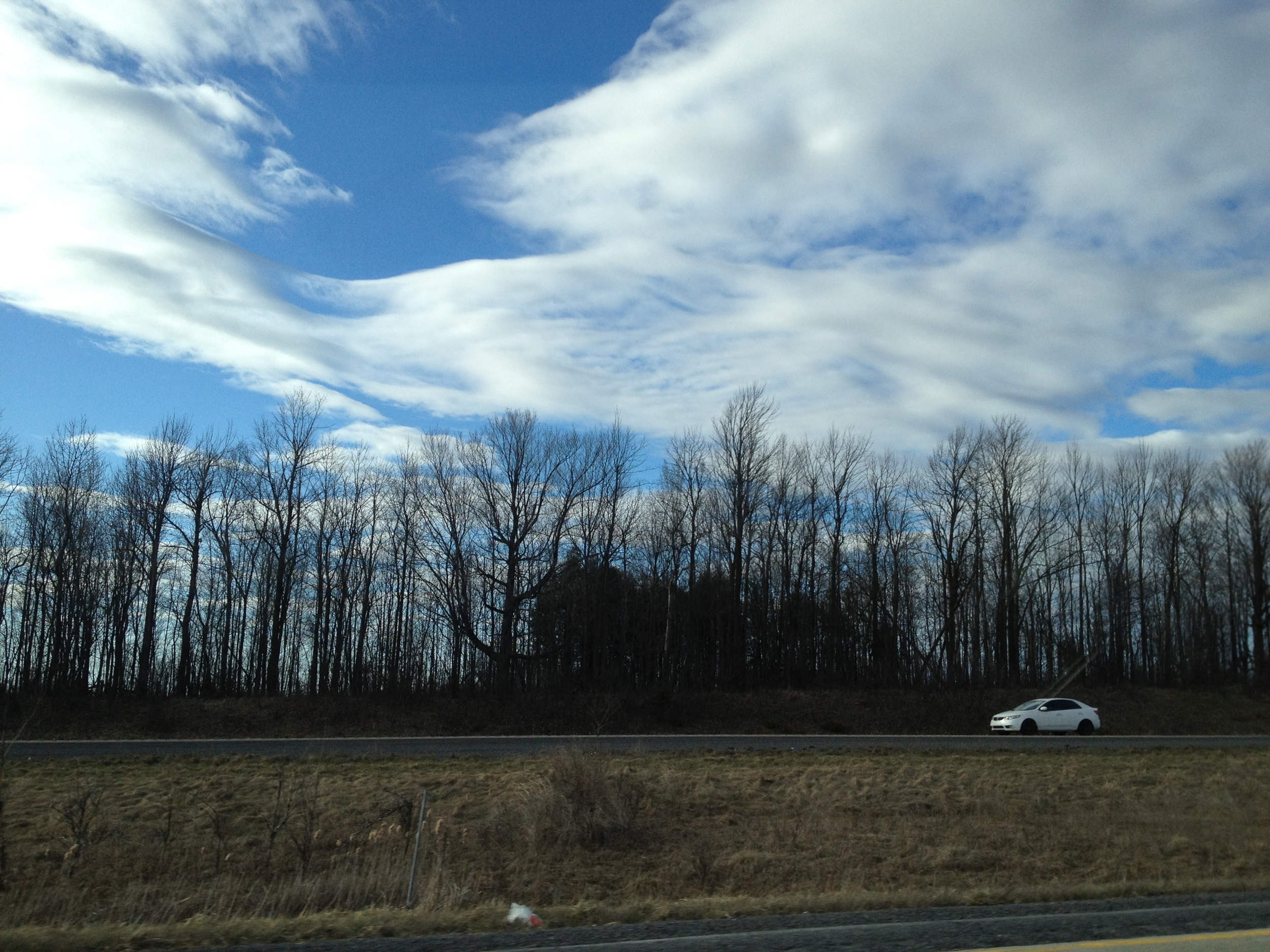
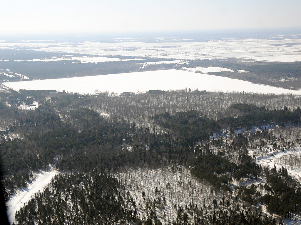
Eastern Ontario Ruralscape
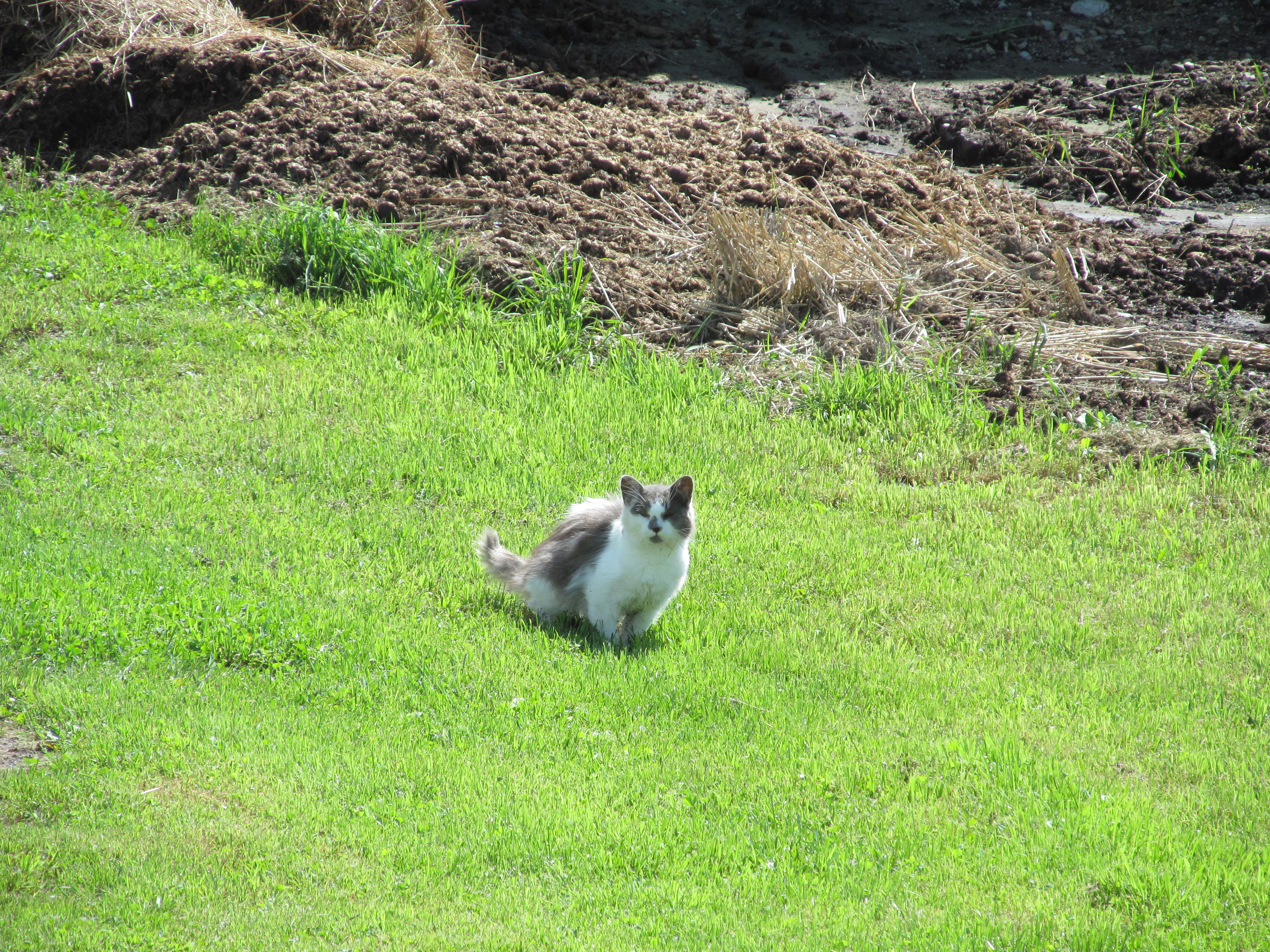
Farm cat
Topographic Map of Fournier, ON K0B, Canada
Find elevation by address:

Places in Fournier, ON K0B, Canada:
Places near Fournier, ON K0B, Canada:
Ridge Rd, Fournier, ON K0B 1G0, Canada
Saint Isidore
35 Arena St, Saint Isidore, ON K0C 2B0, Canada
6270 Regional Rd 10
The Nation Municipality
The Nation Municipality
The Nation Municipality
St-bernardin
3100 Concession Rd 19
3100 Concession Rd 19
3100 Concession Rd 19
3100 Concession Rd 19
3100 Concession Rd 19
1181 Concession Rd 6
Alfred And Plantagenet
County Rd 17, Alfred, ON K0B 1A0, Canada
Alfred
205 Old Highway 17
200 Old Highway 17
Plantagenet
Recent Searches:
- Elevation of Corso Fratelli Cairoli, 35, Macerata MC, Italy
- Elevation of Tallevast Rd, Sarasota, FL, USA
- Elevation of 4th St E, Sonoma, CA, USA
- Elevation of Black Hollow Rd, Pennsdale, PA, USA
- Elevation of Oakland Ave, Williamsport, PA, USA
- Elevation of Pedrógão Grande, Portugal
- Elevation of Klee Dr, Martinsburg, WV, USA
- Elevation of Via Roma, Pieranica CR, Italy
- Elevation of Tavkvetili Mountain, Georgia
- Elevation of Hartfords Bluff Cir, Mt Pleasant, SC, USA