Elevation of Fort Wright, KY, USA

Location: United States > Kentucky > Kenton County >

Longitude: -84.535029

Latitude: 39.0511558

Elevation: 263m / 863feet

Barometric Pressure: 98KPa

Elevation Map:

elevation map of Fort Wright, KY, USA

Satellite Map:

Satellite map of Fort Wright, KY, USA

Related Photos:

macro green water refraction hs10 hs11 pnsers
UFO [Explored]
macro water bokeh refraction hs10 hs11 pnsers
Dropped... [Explored]
color macro water bokeh refraction hs10 hs11 pnsers
Trapped! [Explored]
nature birds ngc feathers aves hornbill cincinnatizoo besteverdigitalphotography vigilantphotographersunite vpu2 vpu3 vpu4 jennypansing
086e wattled hornbill
ohio white flower reflection tree cemetery pond dogwoodtree springgrovecemetery mygearandme mygearandmepremium mygearandmebronze mygearandmesilver mygearandmegold
Reflecting Pool
park christmas holiday bokeh explore frontpage hs10 hs11 pnsers
Bokeh Park [Explored/Front Page]
The Queen City
downywoodpecker cincinnati handheld 2015 sony70300gssm slta77 californiawoodspark raphaelkopanphotography
Downy woodpecker
white orchid flower macro blossom exotic bloom cincinnatioh extrememacro krohnsconservatory thegalaxy mimamorflowers coth5 dblringexcellence tplringexcellence eltringexcellence jennypansing
111e where the fairies dance........ **Explore**
morning blue usa night nikon long exposure shot cincinnati hour oh soe froman d80 digitalartistry
John A. Roebling Bridge
girl umbrella cincinnati windy delitefulimage mayorspick
Imagine.....view Large !
flowers nature spring purple calla edenpark blossoms blooms deeppurple krohnconservatory springflowershow purplecalla jennypansing
004e deep purple
summer nature lion july felines lioness bigcats whitelion cincinnatizoo whitelioness mygearandme vigilantphotographersunite vpu2 jennypansing
105e mesmerized
View of Cincinnati from KY
bridge ohio sky urban architecture clouds skyscraper design wire aqua day waterfront arms pov cincinnati perspective overpass fav20 clear reach mainst fav30 hdr highdynamicrange leadinglines 1000v fav10 tonemapping projectweather elmofoto lorenzomontezemolo
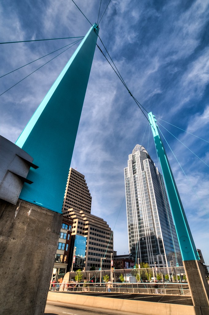
reach for the sky | cincinnati, oh
bridge ohio cloud storm canon river downtown cityscape ky cincinnati sigma 5d oh 1224mm mkii covington
Drama Over The Queen City
ohio silhouette night downtown raw cincinnati clear hdr 3xp photomatix fav100 nex6 selp1650
There are dreams you can make true
morning blue usa fountain night square nikon long exposure downtown shot cincinnati tyler hour oh davidson soe froman d80 abigfave colorphotoaward digitalartistry
Fountain Square Cincinnati
park city bridge trees sunset ohio sky panorama building brick tower water metal stone skyline lights boat football baseball dusk stadium kentucky steel cincinnati bank riverfront bengals reds current hdr highdynamicrange ballpark kao covington usbank pnc roebling greatamerican paulbrown moerlein johnaroeblingsuspensionbridge cyrusone omnicare kmklaw
The Crossing
snow pentaxk5 lickingriverhistoricaldistrict covingtonsriverfront
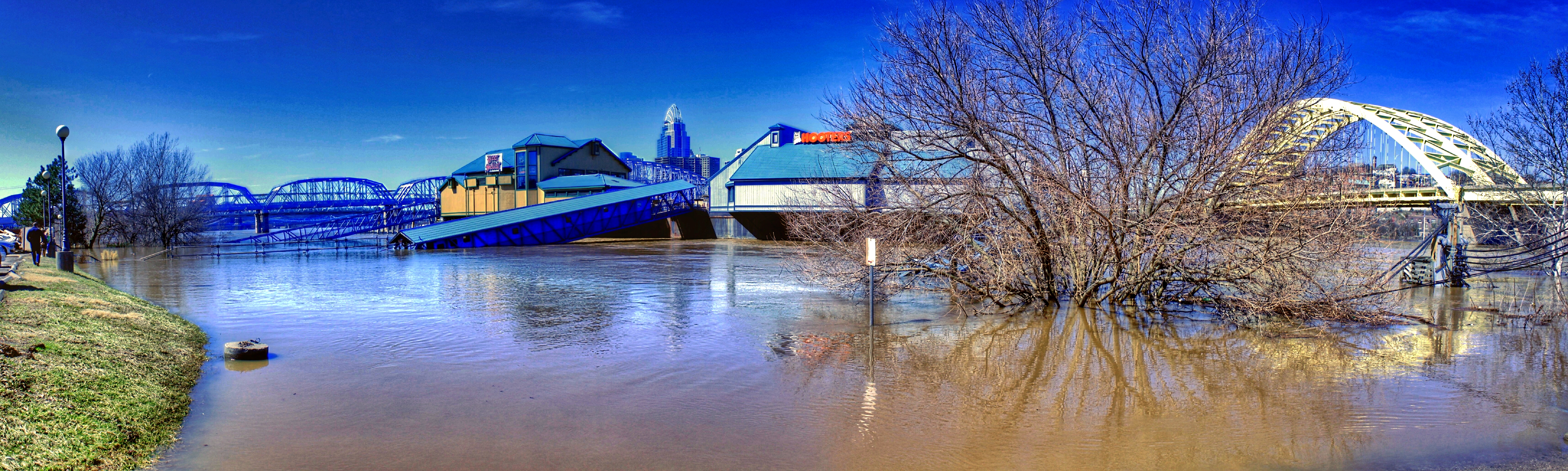
Blowing snow at the Licking River Historical District overshadowed by the ugly "Ascent at Roebling Bridge"
ohio silhouette night downtown raw fav50 cincinnati clear hdr 3xp photomatix nex6 sel50f18
I don't know why you don't take me downtown
Cincinnati Skyline
Eden (5)
skyline flood cincinnati hdr ohioriver 3xp foursquare:venue=2212214
Sunrise at 52 Feet
river flood 2015 geotagged geotag jamiesmed iphoneedit app snapseed iphoneography mobileography iphone5s handyphoto hdr sky skies blue reflection reflect water prohdr bridge streetphotography facebook reflections reflects light iphonephoto landscape hamiltoncounty cincinnati ohio midwest phoneography iphoneonly march photography downtown spring city mobilography
IMG_3021.JPG
hdr
Spring Grove Cemetery
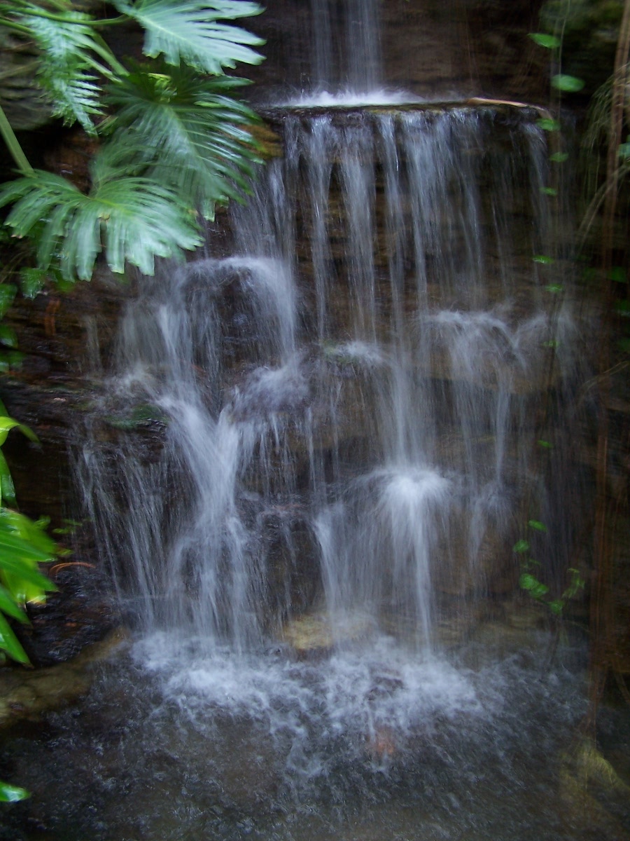
autumn fallleaves waterfall northcarolina
Autumn Waterfall
Spring Grove (9)
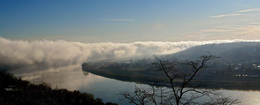
Good Morning Ohio River
sunset tourism hawaii maui pacificocean magichour lahaina
Lahaina Suset
water river kentucky explore newport covington countyseat campbellcounty explored kentoncounty metrocincinnati
Licking River
bridge urban blur rio night river puente lights luces noche cincinnati blurred ohioriver cinci urbanlandscape taylorsouthgatebridge lightsinthecity rioohio lucesenlaciudad
Blurred Cincinnati
reflections cincinnati ohioriver
Reflections on the Ohio River
flowers
Picture 045
app 500d eos dslr beautiful hdr handyphoto jamiesmed fisheye canon light snapseed pass teamcanon rokinon skies rebel blue t1i iphoneedit sky 2012 lens prime downtown geotagged geotag fixed manual focus streetphotography urban wide angle landscape hamiltoncounty cincinnati may ohio midwest photography clouds spring city
IMG_1513.JPG
2015 geotagged geotag iphoneedit app snapseed canon eos dslr 500d t1i rebel teamcanon handyphoto hdr sky skies blue reflection reflect trees water autostitch panorama pano bridge streetphotography facebook reflections reflects light landscape cincinnati jamiesmed ohio midwest march photography spring
IMG_3180.JPG
cincinatti
CINCINATTI SKYLINE
square nashville squareformat iphoneography instagramapp uploaded:by=instagram foursquare:venue=4cacdebd2f08236ab97d8f61
Duckies!
snapseed bridge rokinon app skies fisheye light 2012 purple blue iphoneedit mextures sky handyphoto jamiesmed autostitch lens prime geotagged geotag fixed manual focus facebook wide angle landscape cincinnati may ohio midwest canon eos dslr 500d t1i rebel photography clouds tumblr spring
IMG_9406.JPG
PPB (4)
sculpture lake sunrise pond cincinnati edenpark
Eden Park Sunrise (explored)