Elevation of Fort Russell Township, IL, USA
Location: United States > Illinois > Madison County >
Longitude: -89.981344
Latitude: 38.883268
Elevation: 155m / 509feet
Barometric Pressure: 99KPa
Elevation Map:
Satellite Map:
Related Photos:
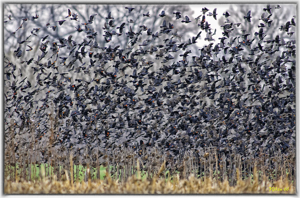
Flock of Red-Winged Blackbirds

Dunlap Lake Chairs
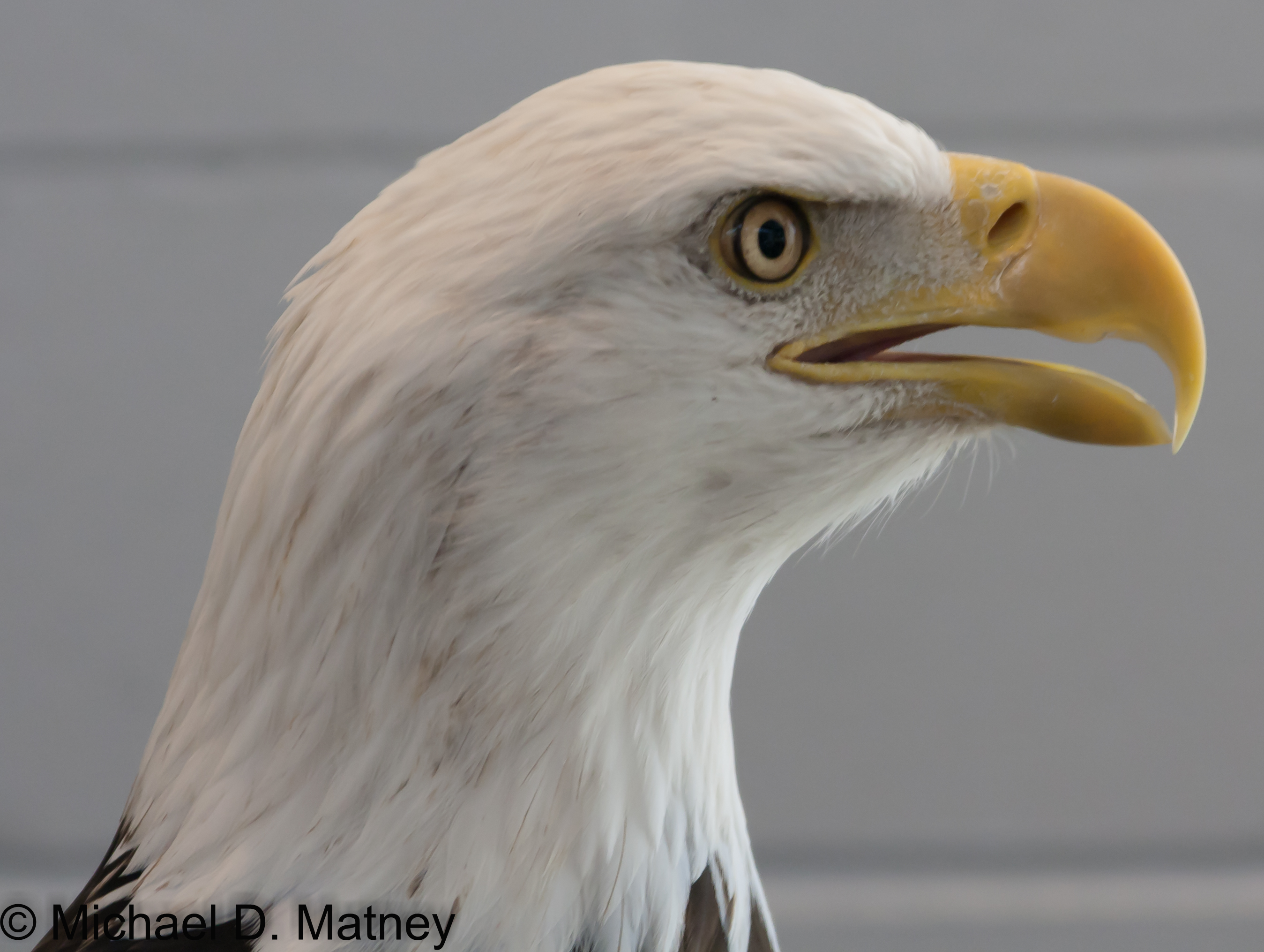
Bald Eagle

Visitor's Center
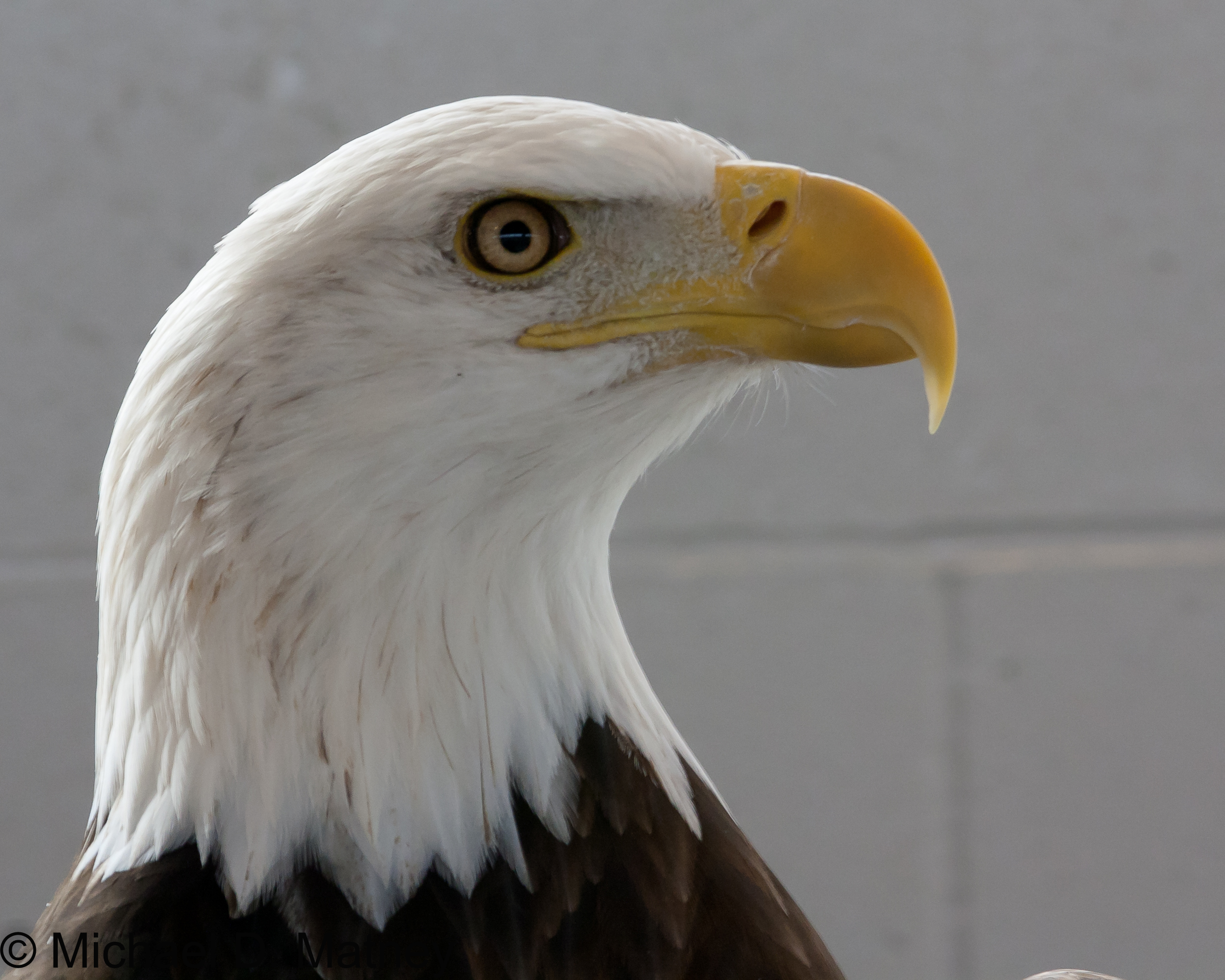
Bald Eagle

What dreams may come...
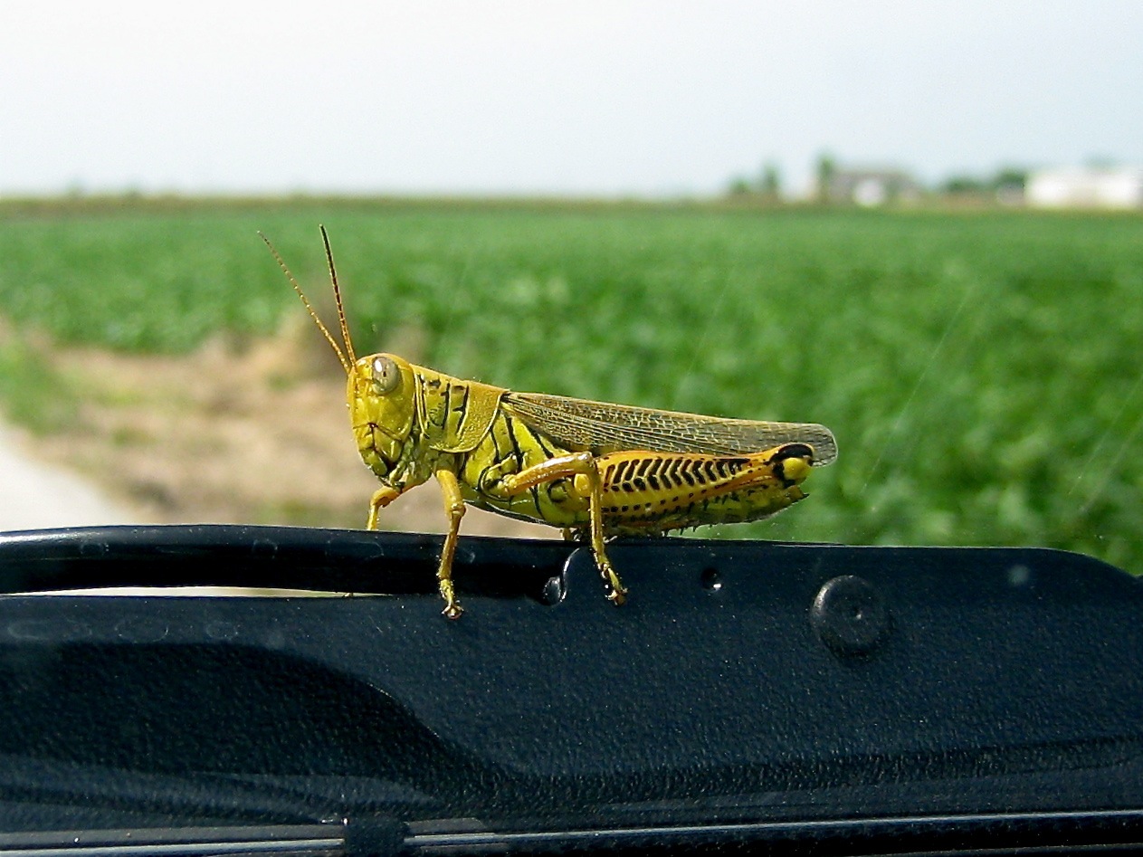
Differential Grasshopper

Columbia Bottom Conservation Area, in Saint Louis County, Missouri, USA - view of Mississippi River near the confluence

The Supermoon

Confluence 01
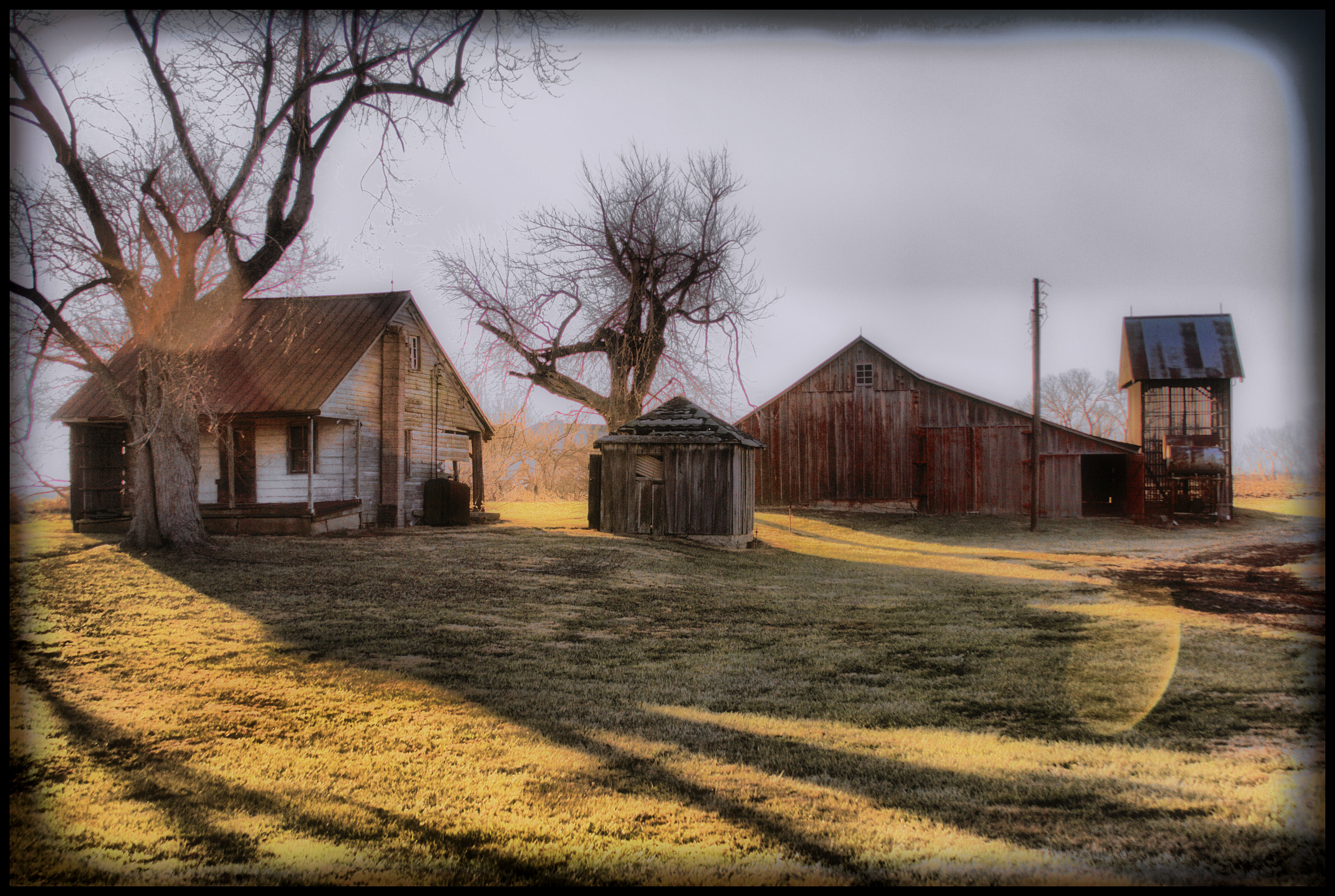
Little Farm on Historic U.S. Route 66/Illinois 157
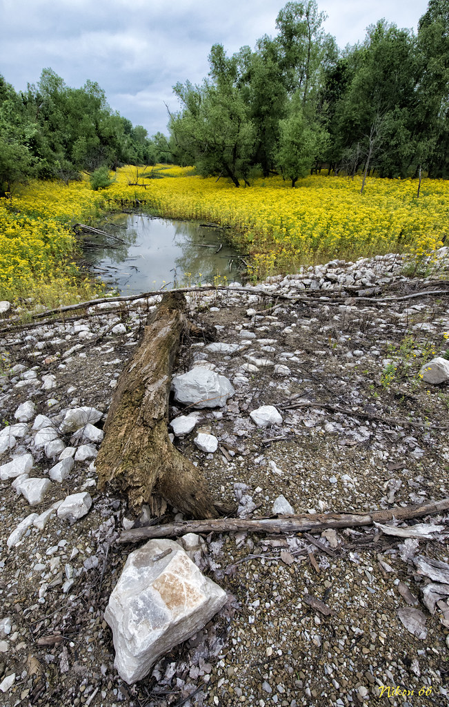
Rock Log and Stream

What a view.

Sunrise Over the Melvin Price Locks and Dam - West Alton Missouri
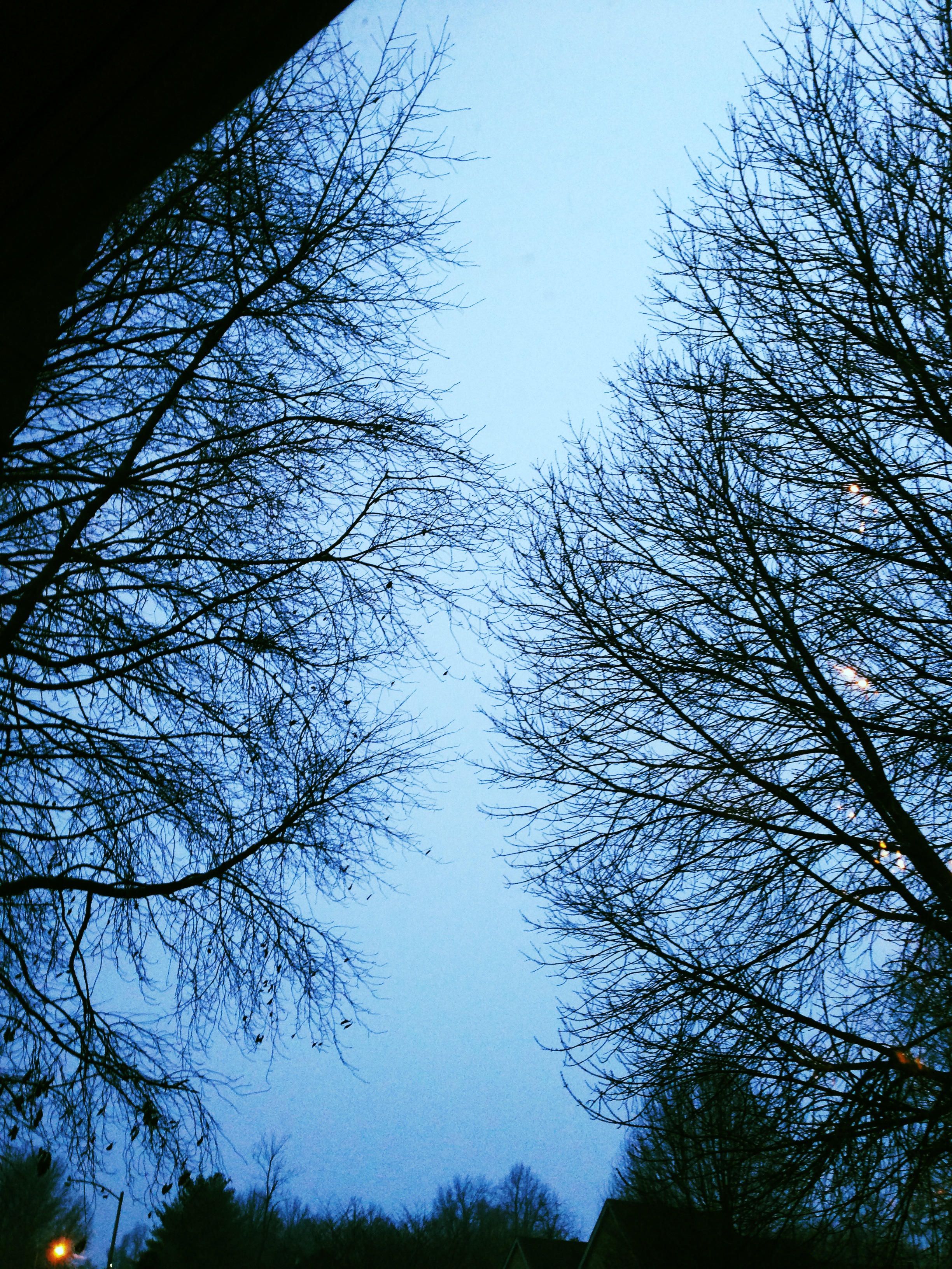
Wintry view out my office window.

Columbia Bottom Conservation Area, in Saint Louis County, Missouri, USA - view of the confluence at night

View of Peck & Founders Hall
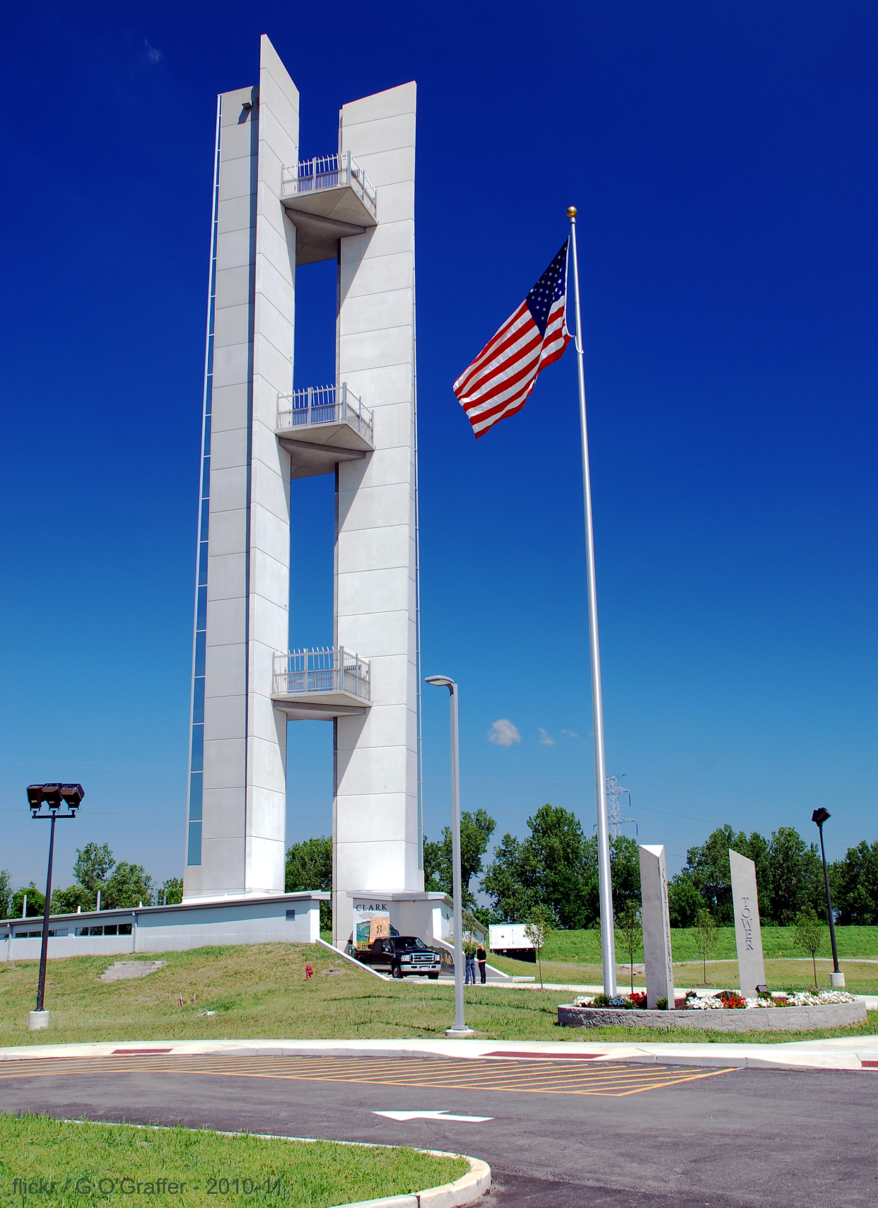
Lewis & Clark Confluence Tower - Hartford, Illinois

Bel Air Drive In Sign in Pontoon Beach, Il on Route 66

The colors from confluence of the great rivers bridge
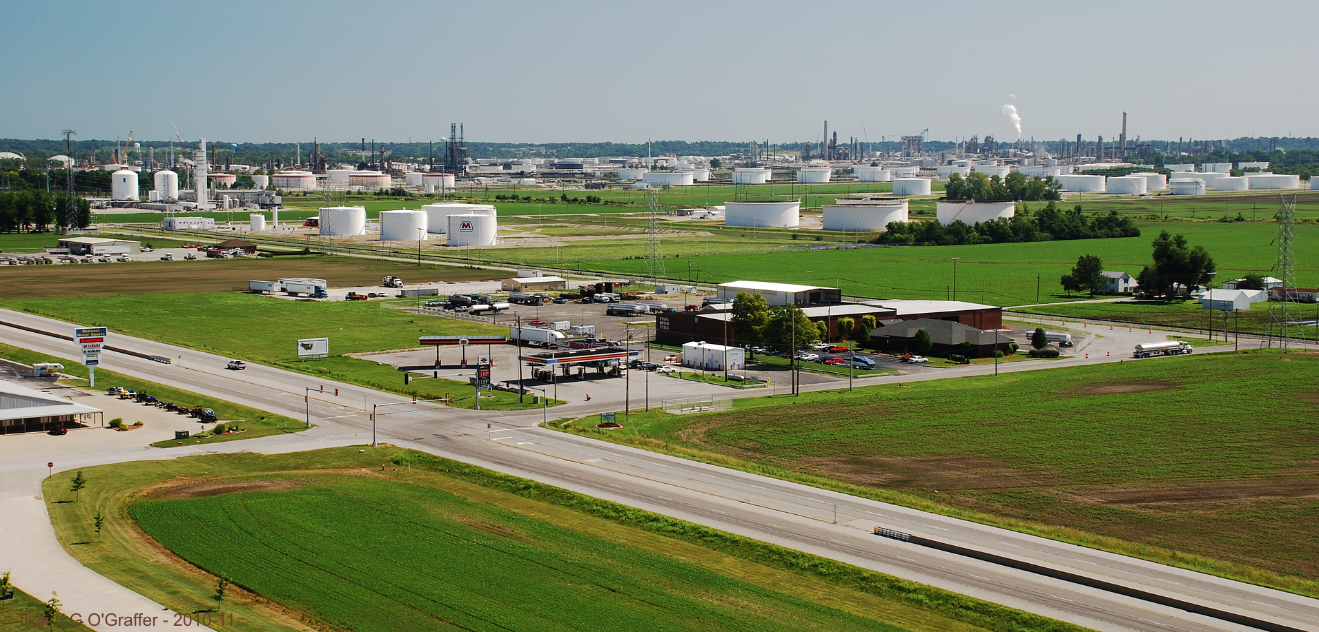
Marathon Oil Tank Farm - Hartford, Illinois

First snow
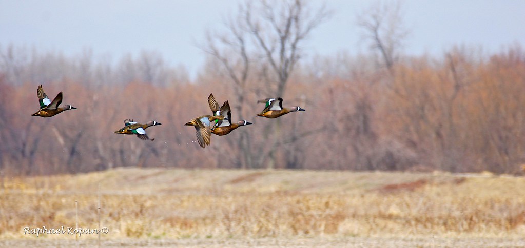
Blue wing Teal, colombia bottoms
Winter day.
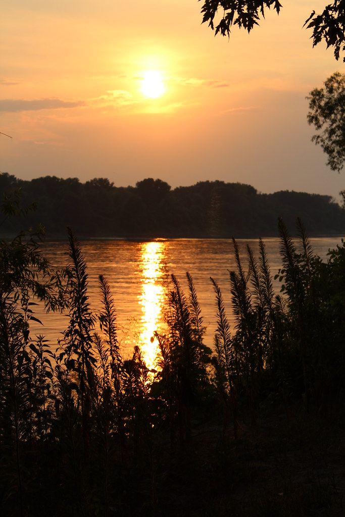
Sunset at the Confluence
Bleu wing Teal, colombia bottoms

Blue Marsh

Red-winged Blackbird

NKP 765 farewell shot

A New Day
236 - Minion

2012-04-10 12
Confluence Point State Park

Sunrise Watershed Nature Center
Bald Eagle at Sunset
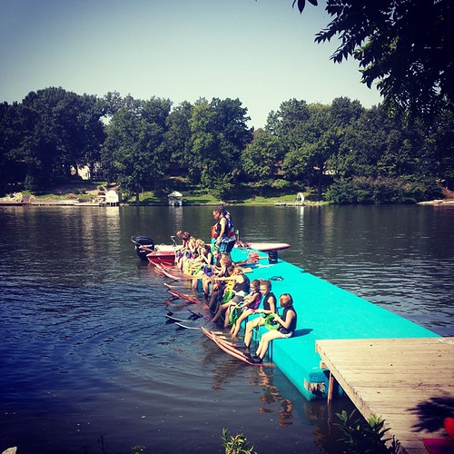
Getting ready to do the All Ski... #HolidayShoresSkiClub

Miniature 32Q 06
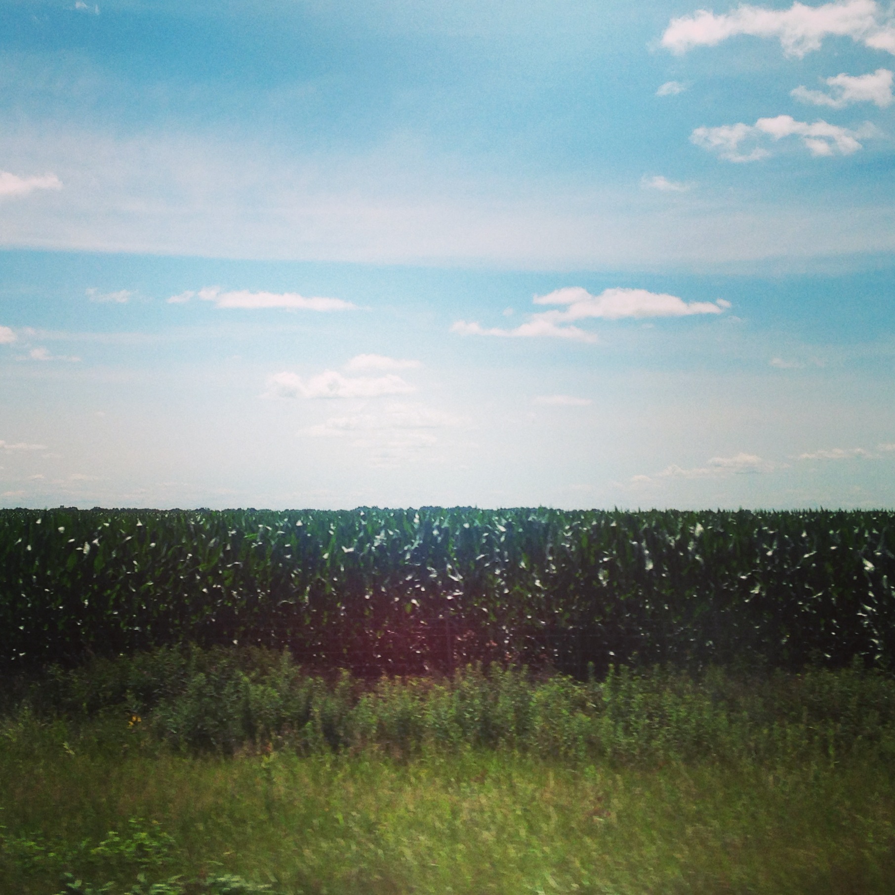
Illinois countryside

Gorgeous sunset
Topographic Map of Fort Russell Township, IL, USA
Find elevation by address:

Places in Fort Russell Township, IL, USA:
Places near Fort Russell Township, IL, USA:
Fox Creek Golf Course
4989 Il-159
Edwardsville, IL, USA
Madison County
167 E High St
1306 Randle St
331 N Buchanan St
332 N Buchanan St
1010 St Louis St
106 S Main St
St. Boniface Catholic Church
Edwardsville
Edwardsville Township
927 Hale Ave
928 Whippoorwill Way
232 Thomas Terrace
Southern Illinois University Edwardsville
1 Hairpin Dr
2329 Plum St
Eagle Court
Recent Searches:
- Elevation of Great Brook Sports, Gold Star Hwy, Groton, CT, USA
- Elevation of 10 Mountain Laurels Dr, Nashua, NH, USA
- Elevation of 16 Gilboa Ln, Nashua, NH, USA
- Elevation of Laurel Rd, Townsend, TN, USA
- Elevation of 3 Nestling Wood Dr, Long Valley, NJ, USA
- Elevation of Ilungu, Tanzania
- Elevation of Yellow Springs Road, Yellow Springs Rd, Chester Springs, PA, USA
- Elevation of Rēzekne Municipality, Latvia
- Elevation of Plikpūrmaļi, Vērēmi Parish, Rēzekne Municipality, LV-, Latvia
- Elevation of 2 Henschke Ct, Caboolture QLD, Australia