Elevation of Fort Fraser, BC V0J 1N0, Canada
Location: Canada > British Columbia > Bulkley-nechako > Bulkley-nechako D >
Longitude: -124.55279
Latitude: 54.061971
Elevation: 700m / 2297feet
Barometric Pressure: 93KPa
Elevation Map:
Satellite Map:
Related Photos:


Rainbow
DSCN3009
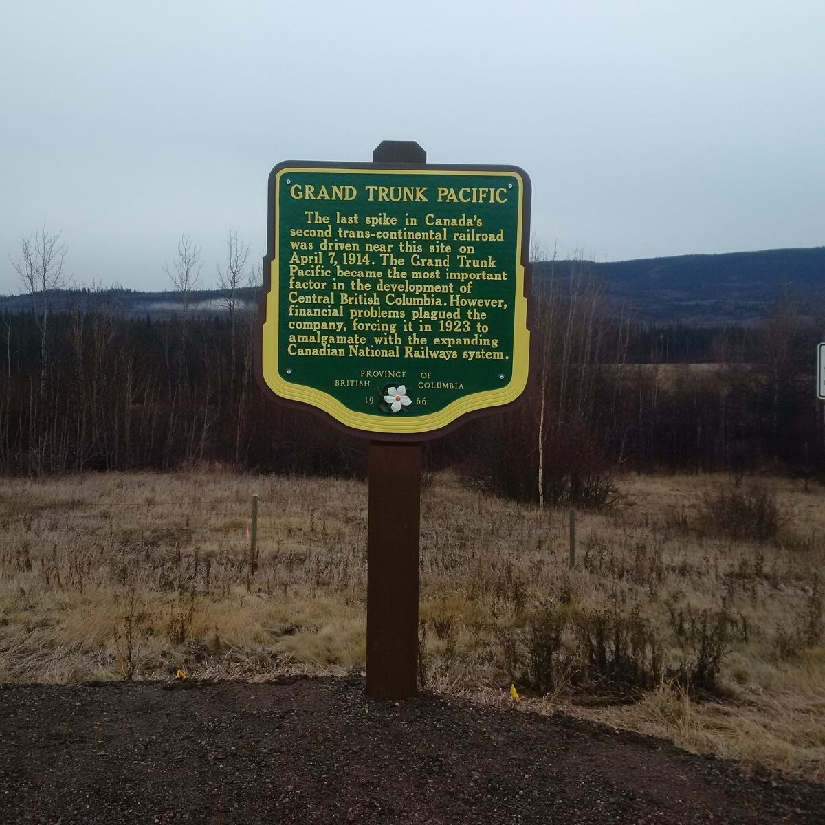
Grand Trunk Pacific - Stop of Interest
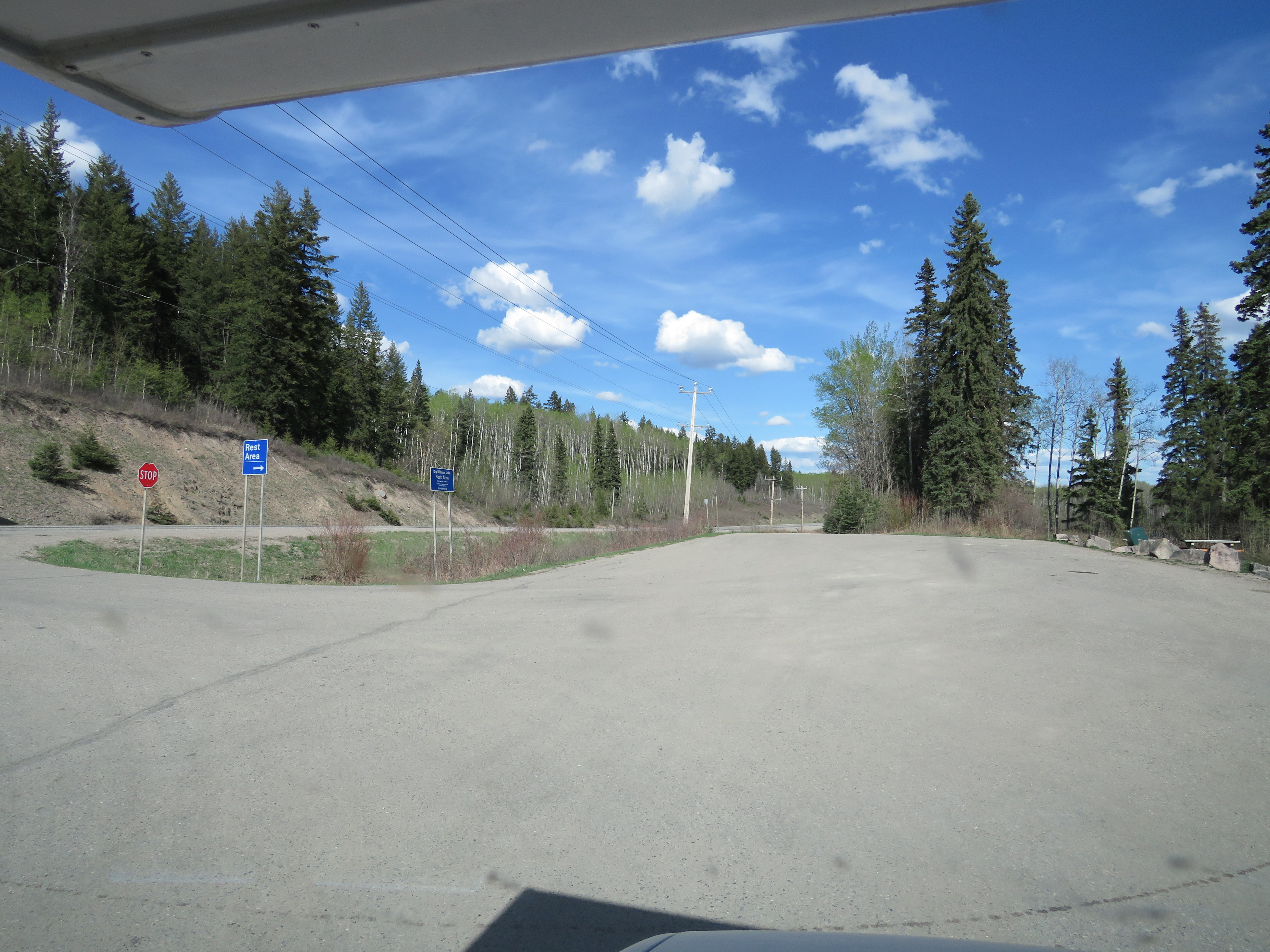
Dry Williams Lake Rest Area east of Fraser Lake on Highway 16
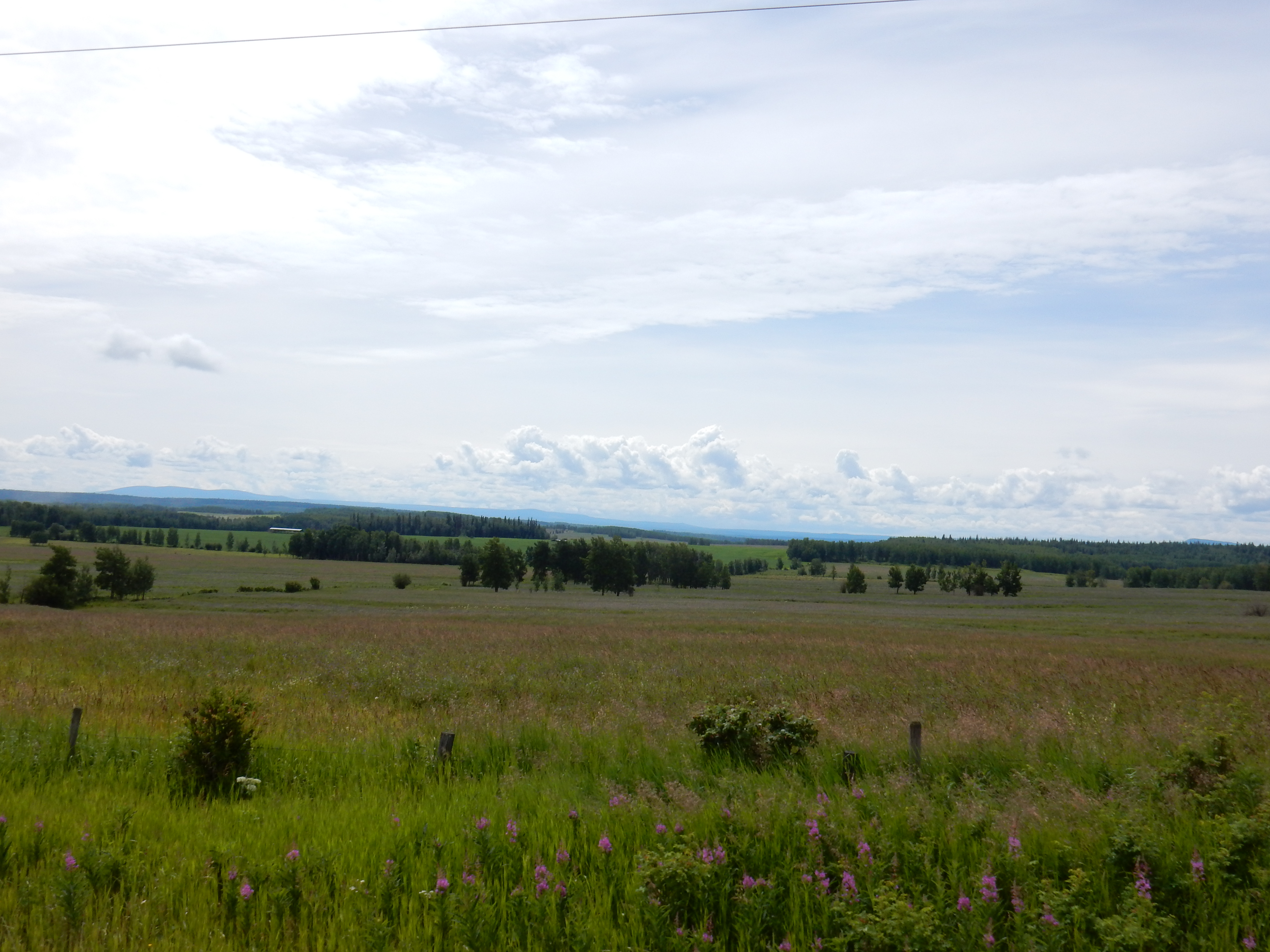
3000 miles...A Trip To Alaska-11

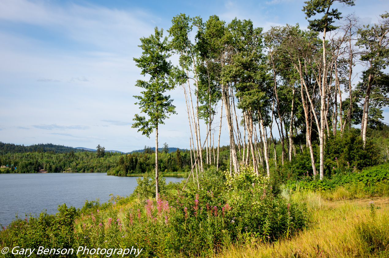
Reflections of Fraser Lake
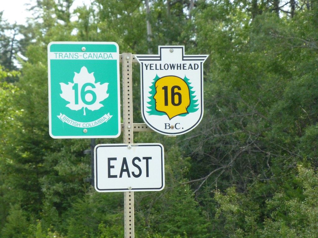
Yellowhead Highway 16
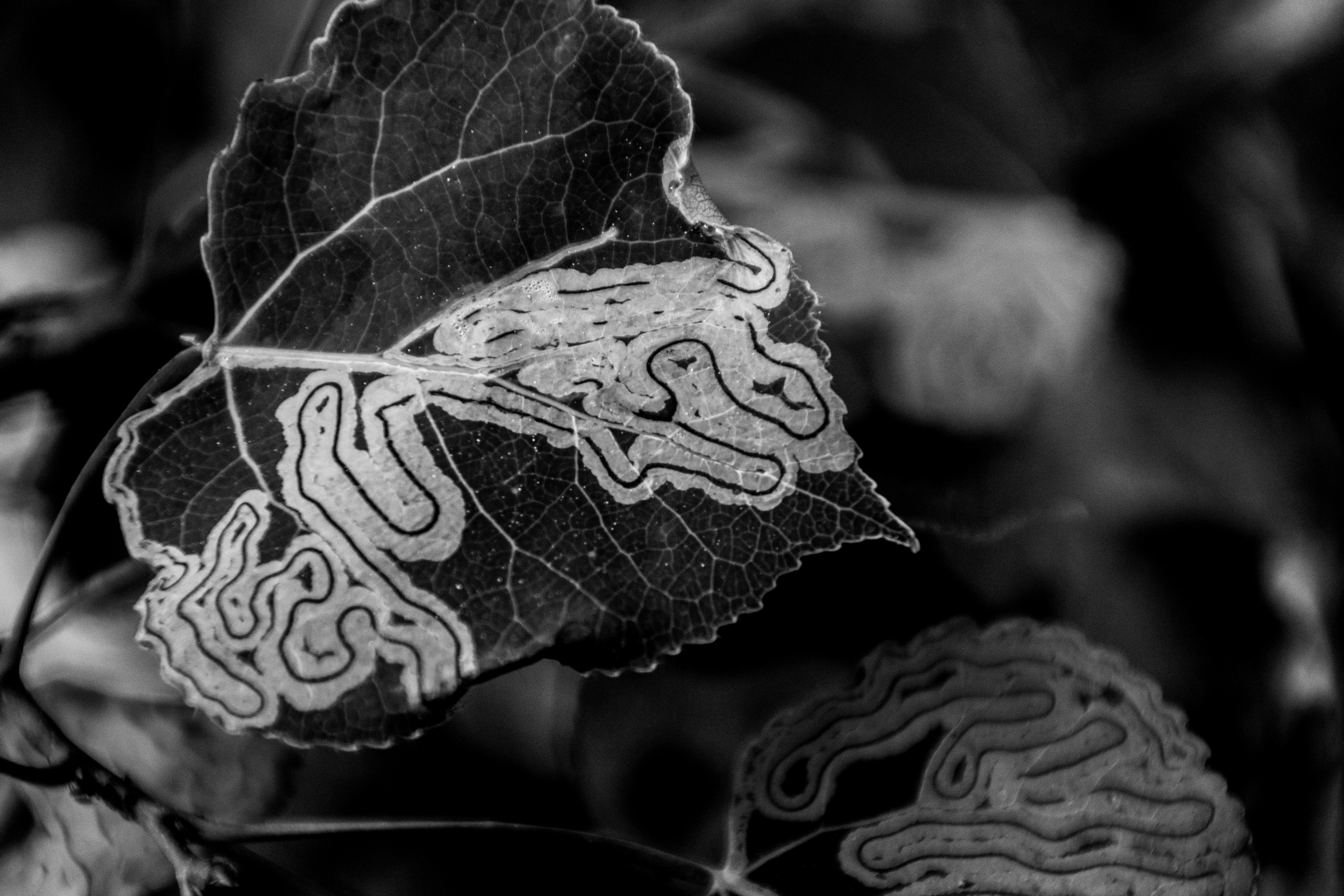
leaf lines

Trails in the snow

Kayaking on the Nechako River, BC
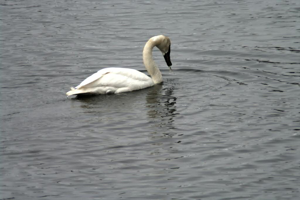
Swimming Trumpeter Swan (1)
Topographic Map of Fort Fraser, BC V0J 1N0, Canada
Find elevation by address:

Places near Fort Fraser, BC V0J 1N0, Canada:
Bearhead Road
Engen
Fraser Lake
Bulkley-nechako D
Endako
Yellowhead Hwy, Bulkley-Nechako D, BC V0J, Canada
Stones Bay Rd, Bulkley-Nechako C, BC V0J, Canada
Russell Transfer Ltd
Fort Saint James
Vanderhoof
Vanderhoof
2815 Riverview Dr
Alexis Dr, British Columbia V0J, Canada
Alexis Dr, British Columbia V0J, Canada
10048 Blackwater Rd
Tache 1
Bulkley-nechako F
Mapes Rd, Vanderhoof, BC V0J 3A1, Canada
Recent Searches:
- Elevation of Royal Ontario Museum, Queens Park, Toronto, ON M5S 2C6, Canada
- Elevation of Groblershoop, South Africa
- Elevation of Power Generation Enterprises | Industrial Diesel Generators, Oak Ave, Canyon Country, CA, USA
- Elevation of Chesaw Rd, Oroville, WA, USA
- Elevation of N, Mt Pleasant, UT, USA
- Elevation of 6 Rue Jules Ferry, Beausoleil, France
- Elevation of Sattva Horizon, 4JC6+G9P, Vinayak Nagar, Kattigenahalli, Bengaluru, Karnataka, India
- Elevation of Great Brook Sports, Gold Star Hwy, Groton, CT, USA
- Elevation of 10 Mountain Laurels Dr, Nashua, NH, USA
- Elevation of 16 Gilboa Ln, Nashua, NH, USA