Elevation of Forsvägen, 32 Robertsfors, Sweden
Location: Sweden > Västerbotten County >
Longitude: 20.8365026
Latitude: 64.1908052
Elevation: 43m / 141feet
Barometric Pressure: 101KPa
Elevation Map:
Satellite Map:
Related Photos:
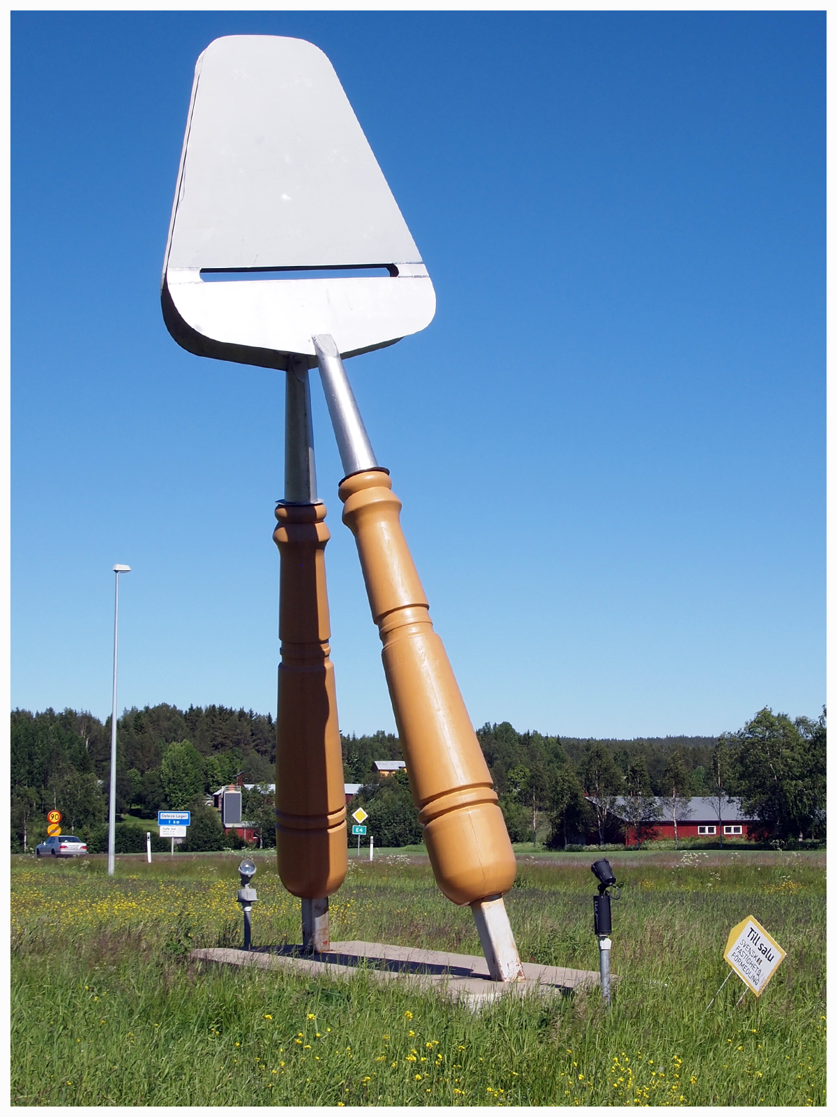
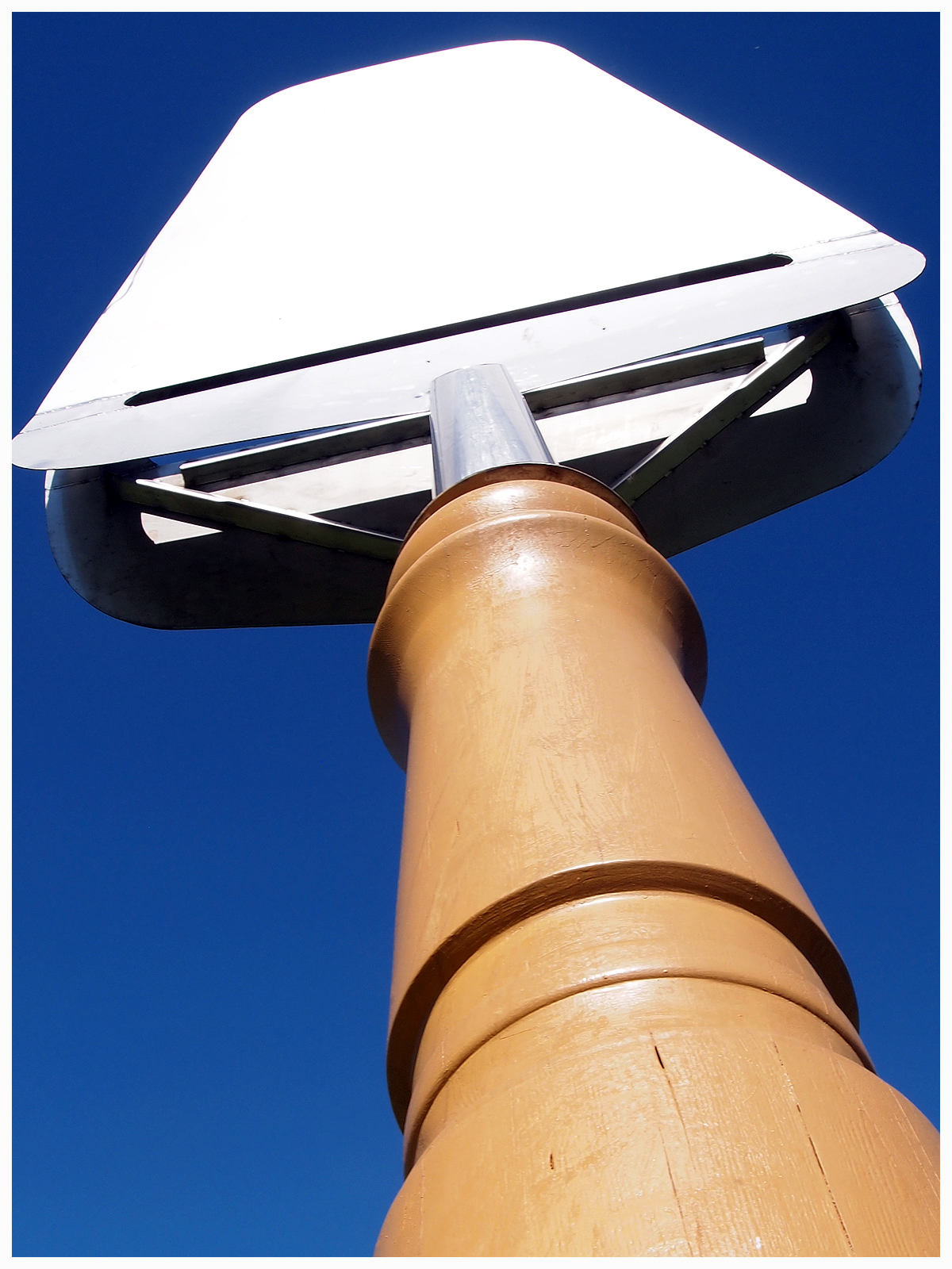
neun:soeinkäse

ZOK_6336 LT
Panorama ZOK_6326_ZOK_6328-2 images LT
Ånäset - June 28th 2015
20100508-IMG_4884.jpg
Loke hunting Alexander
Loke and Gunnel
Loke and Gunnel

Fighting siblings

Fighting siblings

Loke and Alexander

Loke and Alexander
En damm i Rickleå
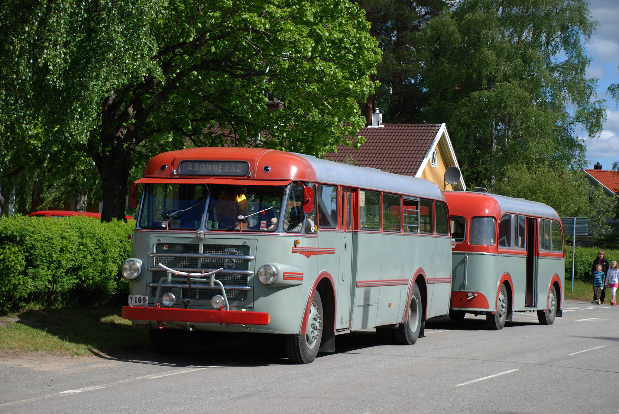
Veteran Bus with Passanger Loader in Överklinten, Sweden, june 2008

Hearing on what needs to be done to get more young people interested in vocational education and a career in industry. #Industry4.0 #industrialdevelopment #regionalgrowth #teknikföretagen #regionvästerbotten
Plock bära
IMG_20121222_225300.jpg

Arvid looks through the window at home in Bygdeå, Sweden, right before going to school. In the meantime, I close the zippers in my bag, before heading back to the airport. Thank you Alberto and Karen fit your hospitality! #sweden #bygdea #travel
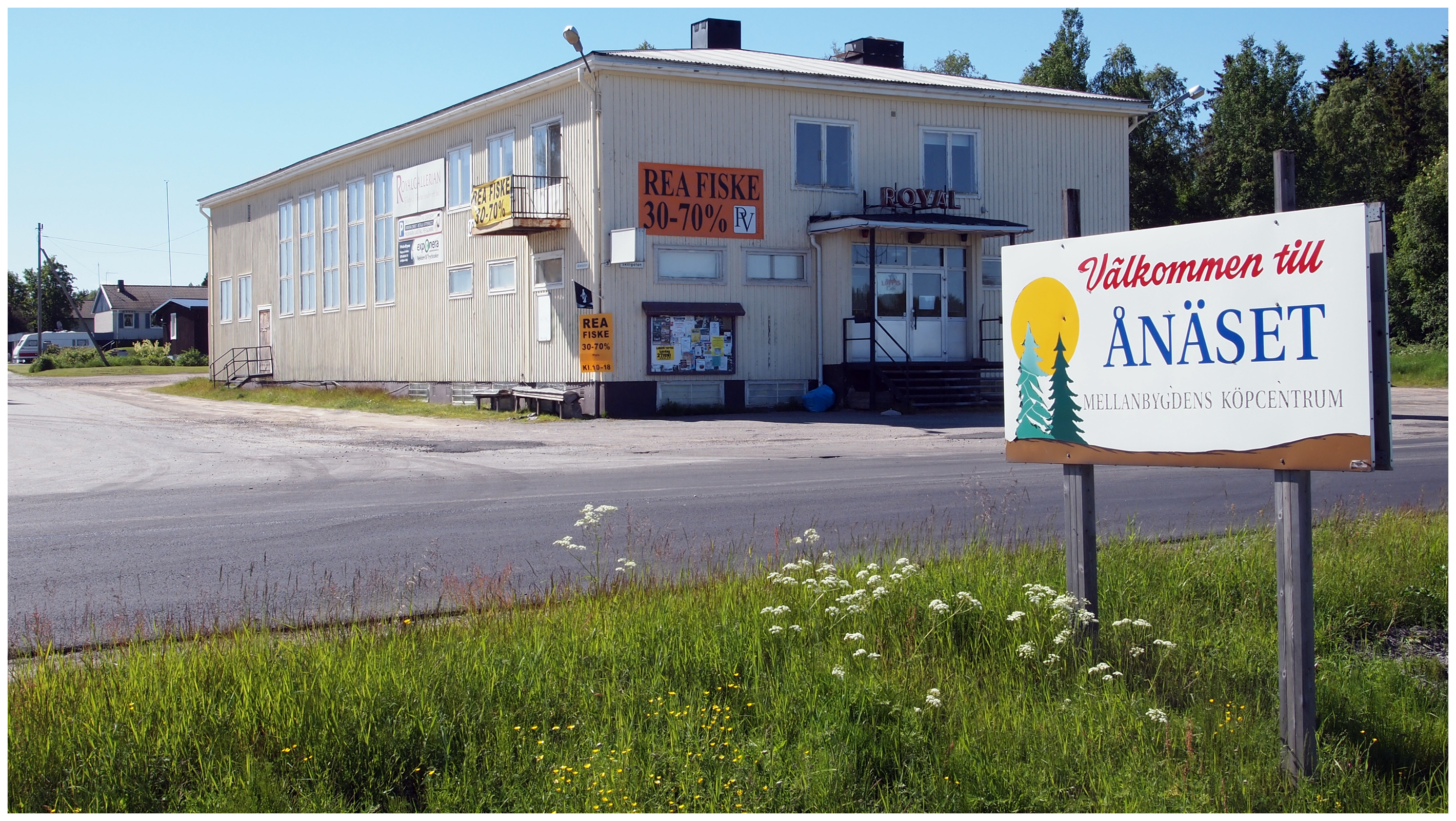
Ånäset - June 28th 2015
Ånäset - June 28th 2015
Ånäset - June 28th 2015
Topographic Map of Forsvägen, 32 Robertsfors, Sweden
Find elevation by address:

Places near Forsvägen, 32 Robertsfors, Sweden:
Forsvägen 2
Robertsfors
Tundalsgatan 4, 31 Robertsfors, Sweden
Skogsgatan 8
Sikeå Hamn
Överklinten
Umeå No
Västra SKRÅMTRÄSK 14, 96 Skellefteå, Sweden
Umeå
Bjurfors
Gärssjöbäcksvägen 19, 37 Umeå, Sweden
Umeå So
Marieområdet
Vargvägen 15, 42 Umeå, Sweden
Holmsund
Umeå Airport
Umeå
Centrala Stan
Teg
Olof Palmes gata 57, 23 Umeå, Sweden
Recent Searches:
- Elevation of 6 Rue Jules Ferry, Beausoleil, France
- Elevation of Sattva Horizon, 4JC6+G9P, Vinayak Nagar, Kattigenahalli, Bengaluru, Karnataka, India
- Elevation of Great Brook Sports, Gold Star Hwy, Groton, CT, USA
- Elevation of 10 Mountain Laurels Dr, Nashua, NH, USA
- Elevation of 16 Gilboa Ln, Nashua, NH, USA
- Elevation of Laurel Rd, Townsend, TN, USA
- Elevation of 3 Nestling Wood Dr, Long Valley, NJ, USA
- Elevation of Ilungu, Tanzania
- Elevation of Yellow Springs Road, Yellow Springs Rd, Chester Springs, PA, USA
- Elevation of Rēzekne Municipality, Latvia