Elevation of Forrest Ave, Brewton, AL, USA
Location: United States > Alabama > Escambia County > Brewton >
Longitude: -87.062177
Latitude: 31.093358
Elevation: 28m / 92feet
Barometric Pressure: 101KPa
Elevation Map:
Satellite Map:
Related Photos:
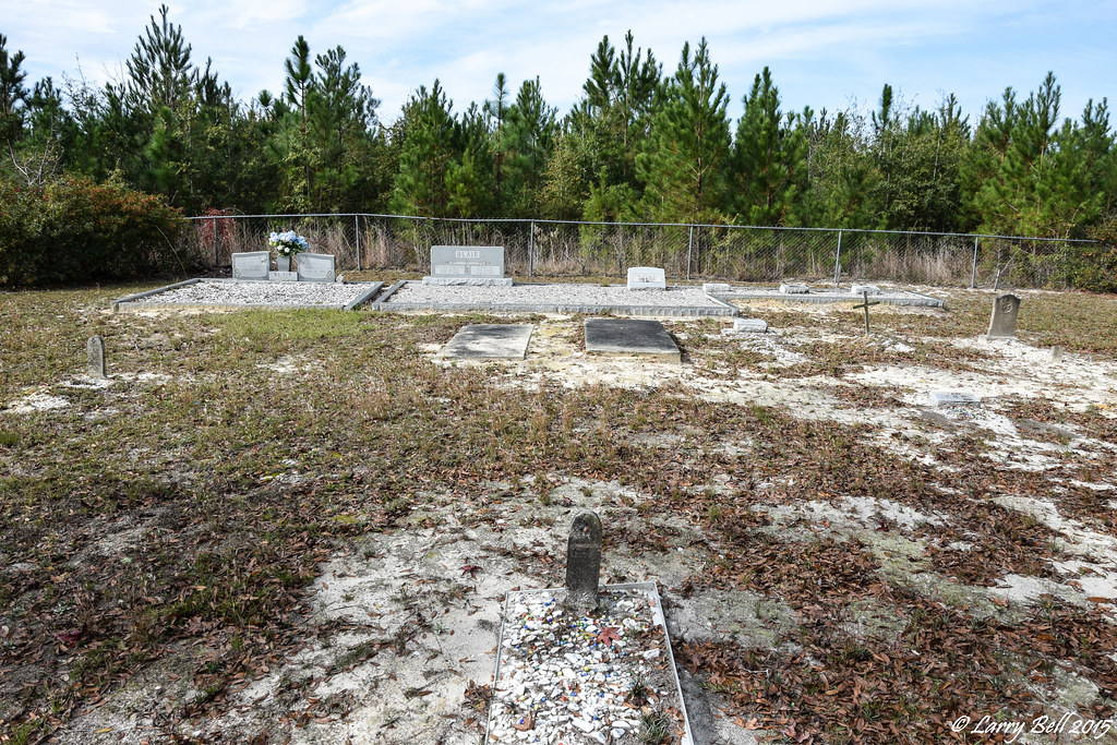
DSC_0031.jpg

DSC_0101.jpg
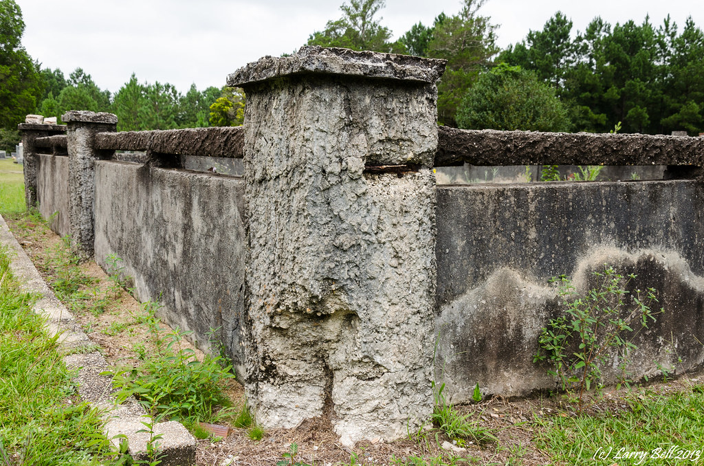
_DSC0058.jpg

_DSC0046.jpg
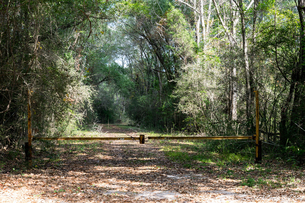
DSC_0099.jpg

DSC_0098.jpg
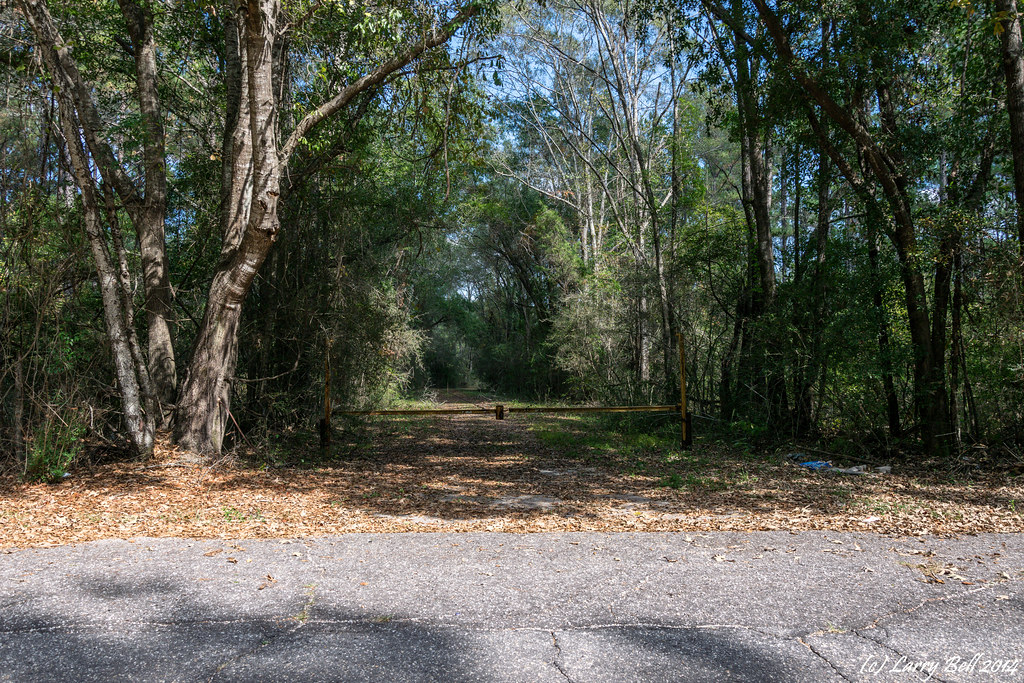
DSC_0097.jpg
DSC_0089.jpg

DSC_0086.jpg
DSC_0082.jpg

DSC_0079.jpg

DSC_0078.jpg
DSC_0075.jpg
DSC_0069.jpg
DSC_0040.jpg
Topographic Map of Forrest Ave, Brewton, AL, USA
Find elevation by address:

Places near Forrest Ave, Brewton, AL, USA:
106 Watson St
Brewton
748 Williamson St
97 Maddox Loop, Brewton, AL, USA
Riverview
Pea Ridge Rd, Brewton, AL, USA
103 Brooks Blvd
194 Horseshoe Rd
Ridge Rd, Brewton, AL, USA
Keego Rd, Brewton, AL, USA
Escambia County
AL-41, Brewton, AL, USA
Kirkland Rd, Brewton, AL, USA
6595 Kirkland Rd
Richmond Ave, Flomaton, AL, USA
Appleton Rd, Brewton, AL, USA
Jay
Sellersville Rd, Jay, FL, USA
Moffett Ln, Brewton, AL, USA
US-29, Brewton, AL, USA
Recent Searches:
- Elevation of Dog Leg Dr, Minden, NV, USA
- Elevation of Dog Leg Dr, Minden, NV, USA
- Elevation of Kambingan Sa Pansol Atbp., Purok 7 Pansol, Candaba, Pampanga, Philippines
- Elevation of Pinewood Dr, New Bern, NC, USA
- Elevation of Mountain View, CA, USA
- Elevation of Foligno, Province of Perugia, Italy
- Elevation of Blauwestad, Netherlands
- Elevation of Bella Terra Blvd, Estero, FL, USA
- Elevation of Estates Loop, Priest River, ID, USA
- Elevation of Woodland Oak Pl, Thousand Oaks, CA, USA