Elevation of Forest Service Road, Forest Service Rd, Arizona, USA
Location: United States > Arizona > Gila County > Payson >
Longitude: -111.37200
Latitude: 34.2887771
Elevation: 1379m / 4524feet
Barometric Pressure: 86KPa
Elevation Map:
Satellite Map:
Related Photos:

Road to the Horizon

Highway View: Alfonso's Mexican Food, Payson, AZ

How 1980 Viewed the Future
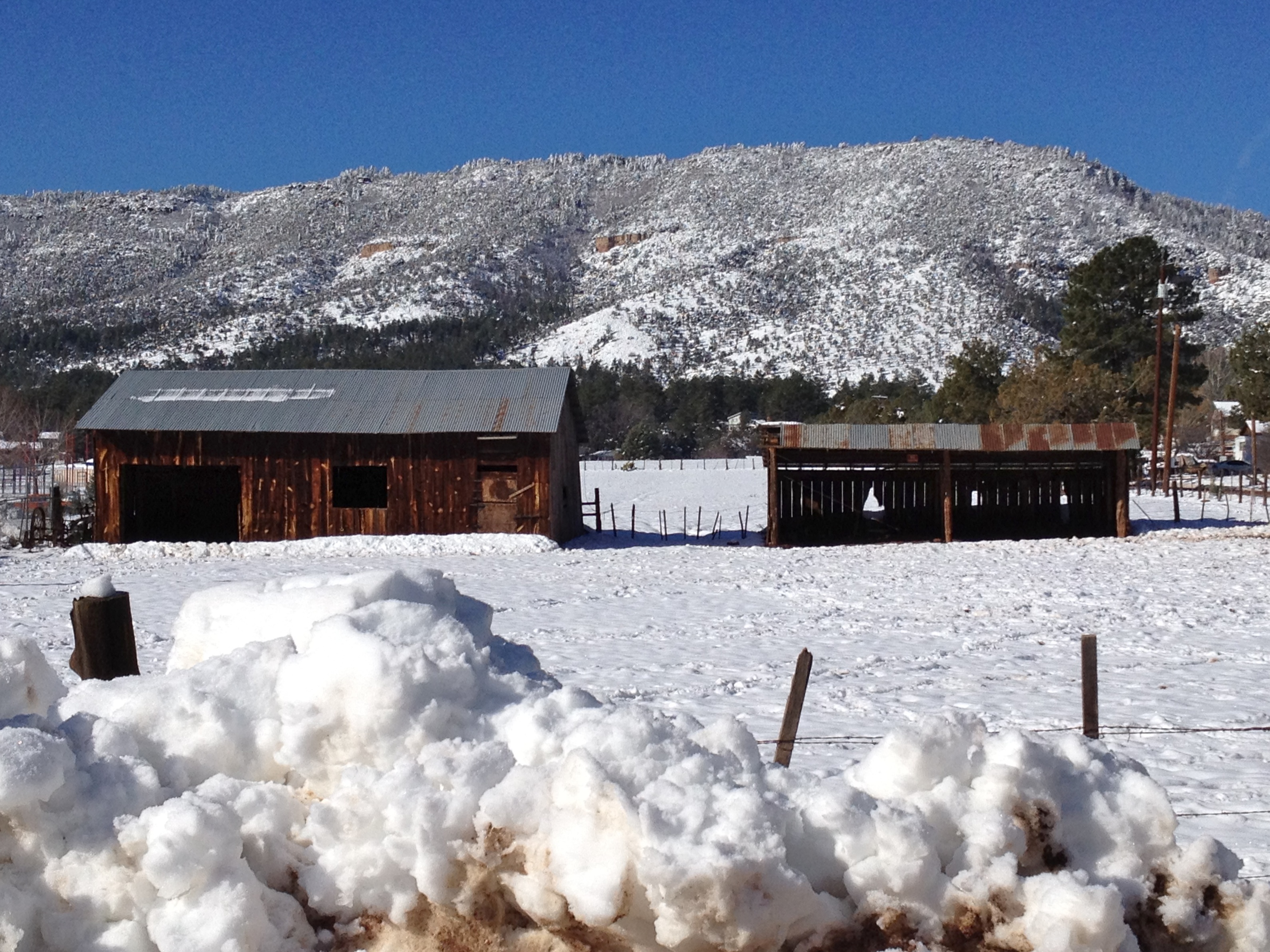
Drinking coffee and loving this view
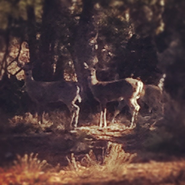
Snowy Pine
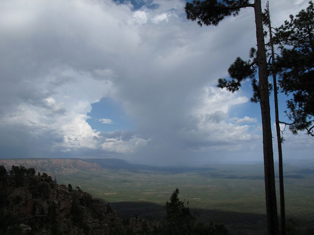
Summer Storms

Honor Respect Remember - Generation by Generation

Felix Takes in Another View

View Up to the top

32912-24, Trail To The Tonto Natural Bridge
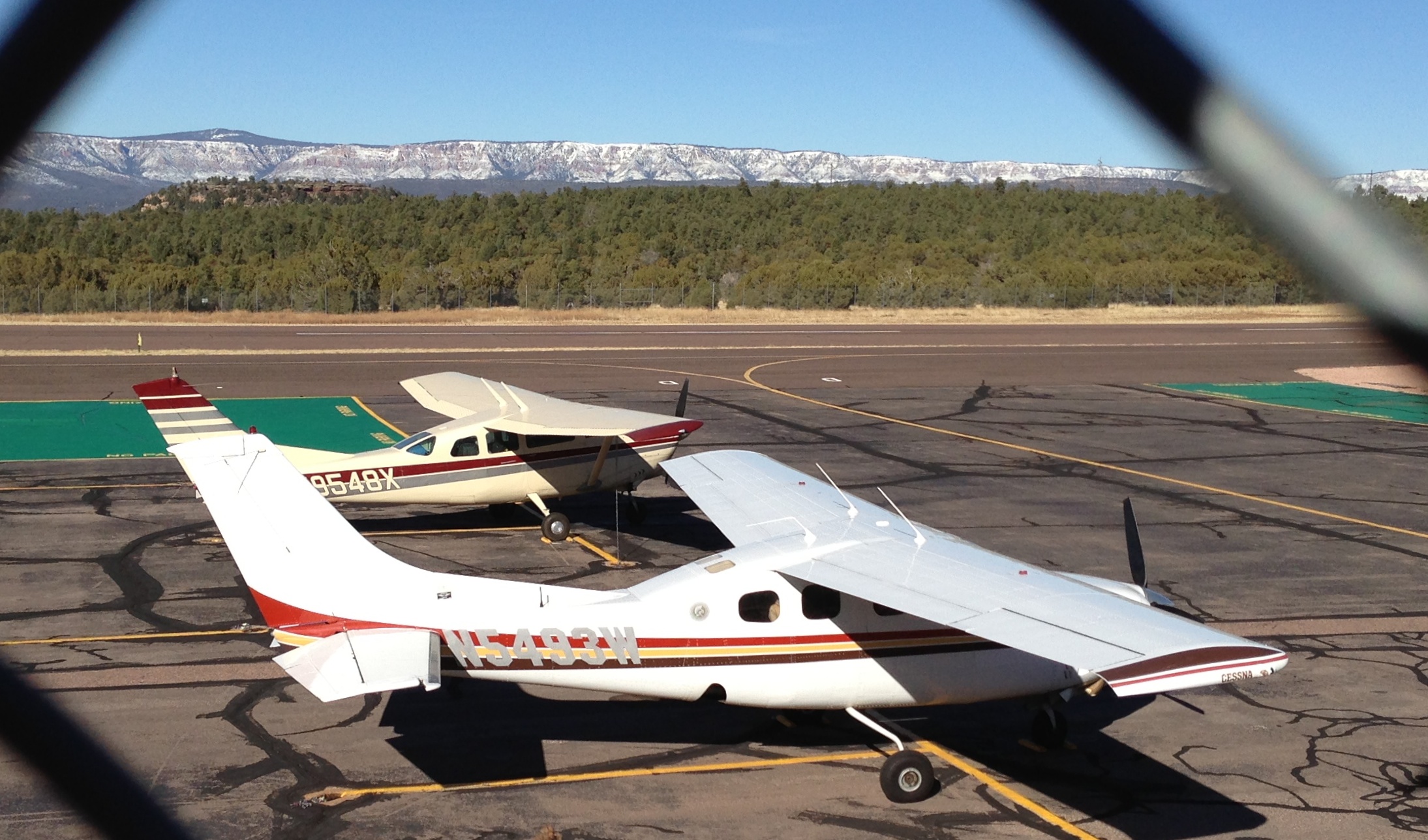
Payson Airport
Where I'm Goin' / Where I've Been

Highway View, Vintage Plastic Steer Roadside Sign: Pete's Place Cabaret, Star Valley, AZ

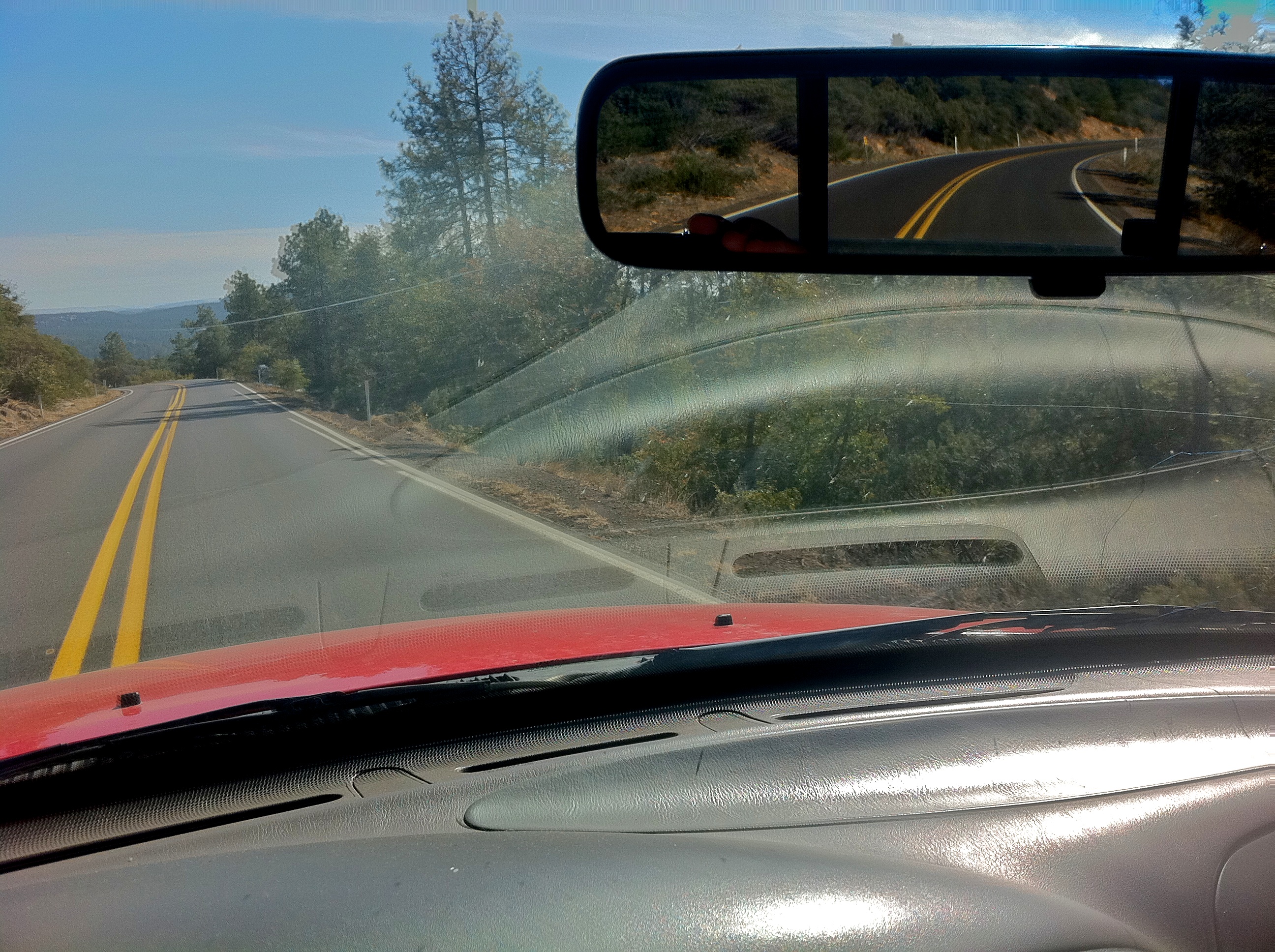
Driving Along the Rim
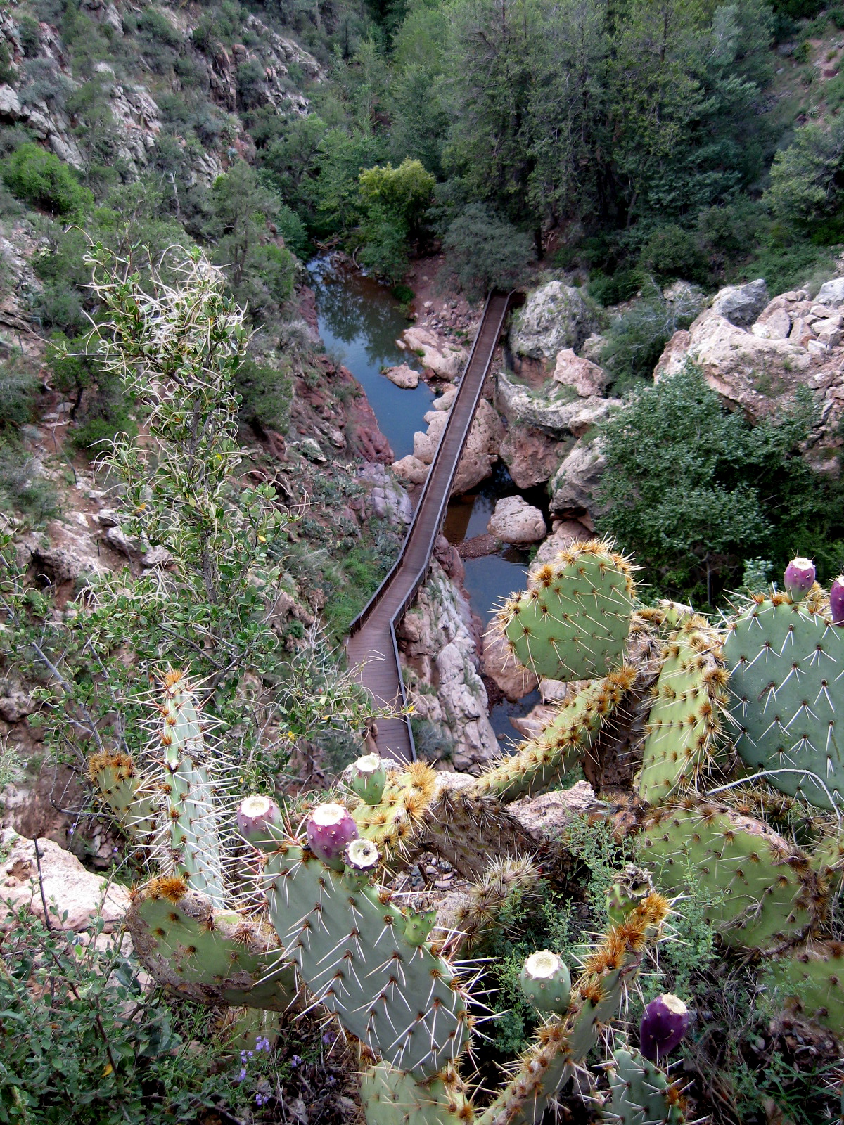
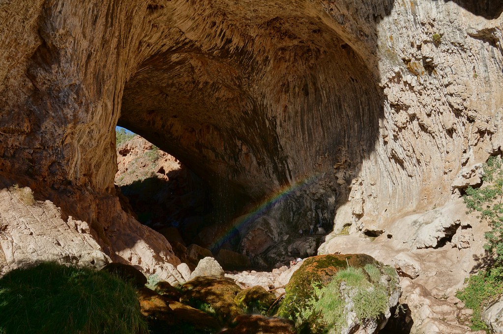
View into Canyon at Tonto Natural, Bridge, Arizona
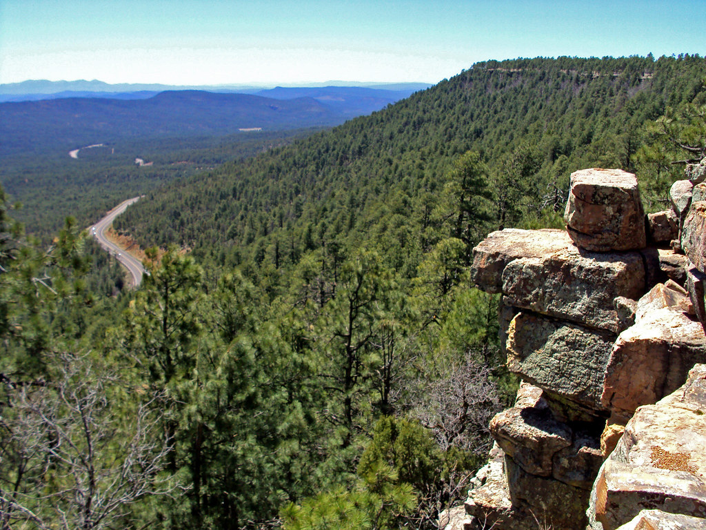
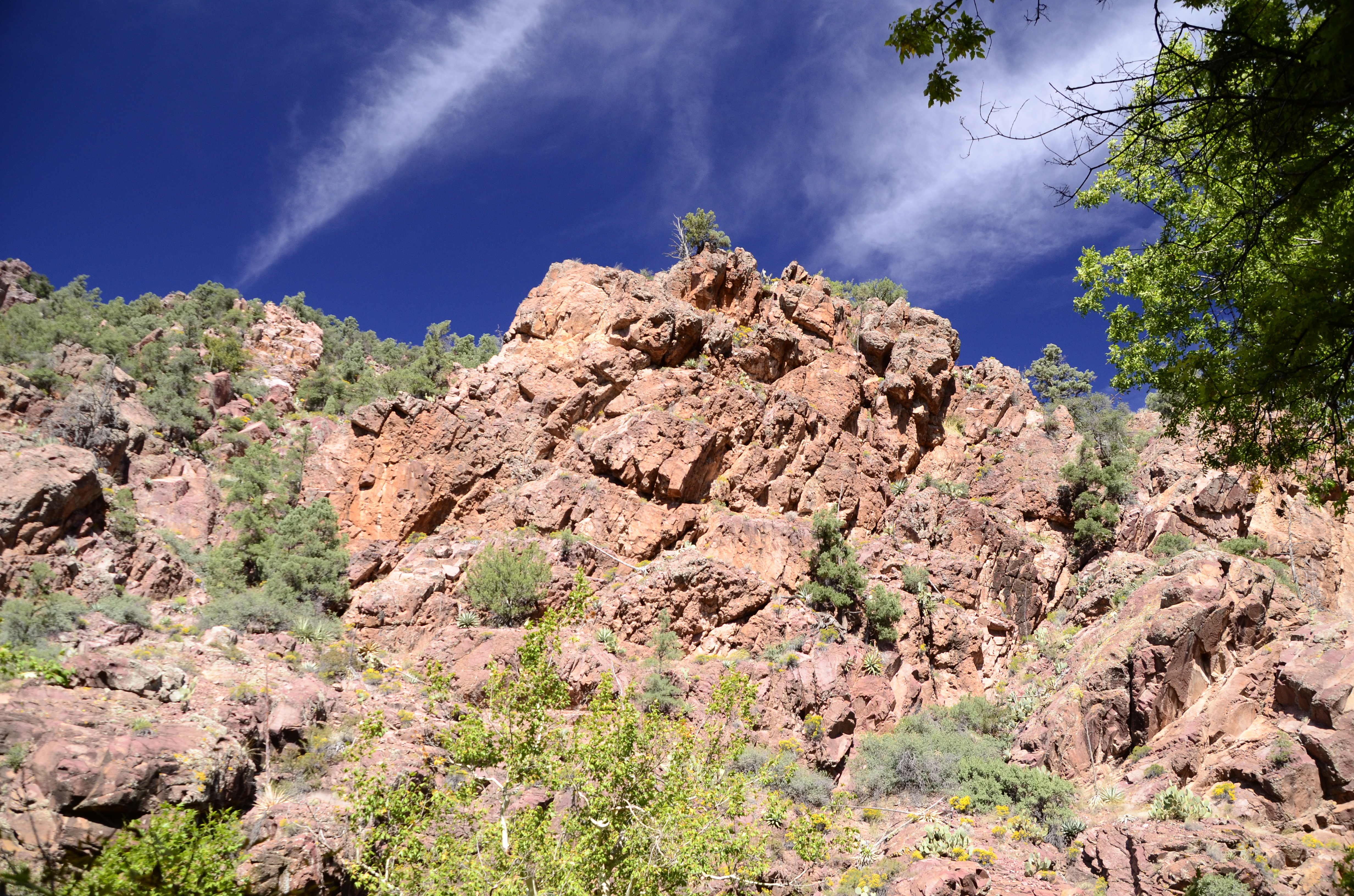
Mogollon Rim
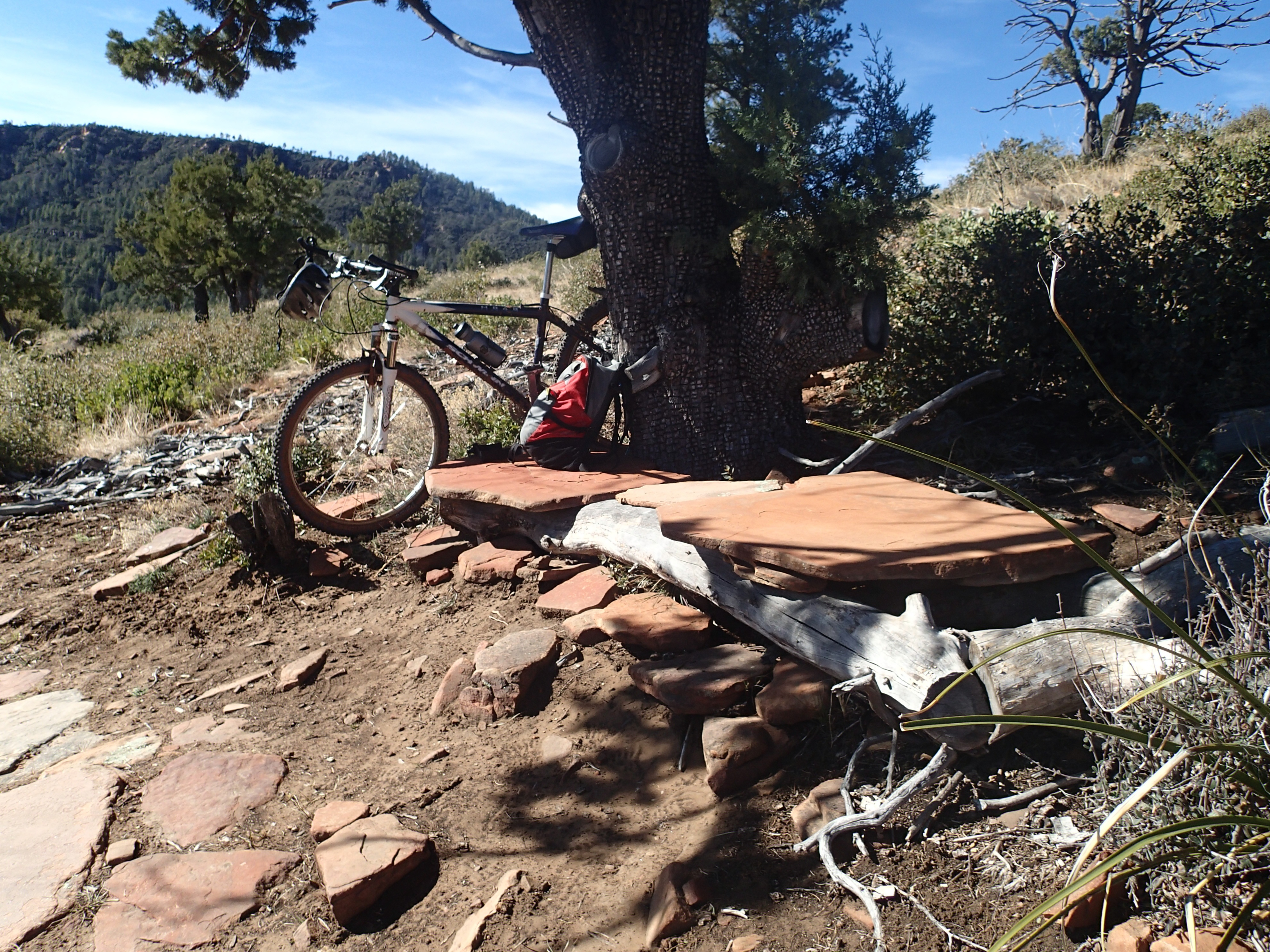
A Fine Resting Spot

Houses Sprinkled on the Hill

Tonto Natural Bridge State Park
Granite Dells Biking

view near tonto natural bridge 02

Panorama of Mogollon Rim
Panorama of Mogollon Rim

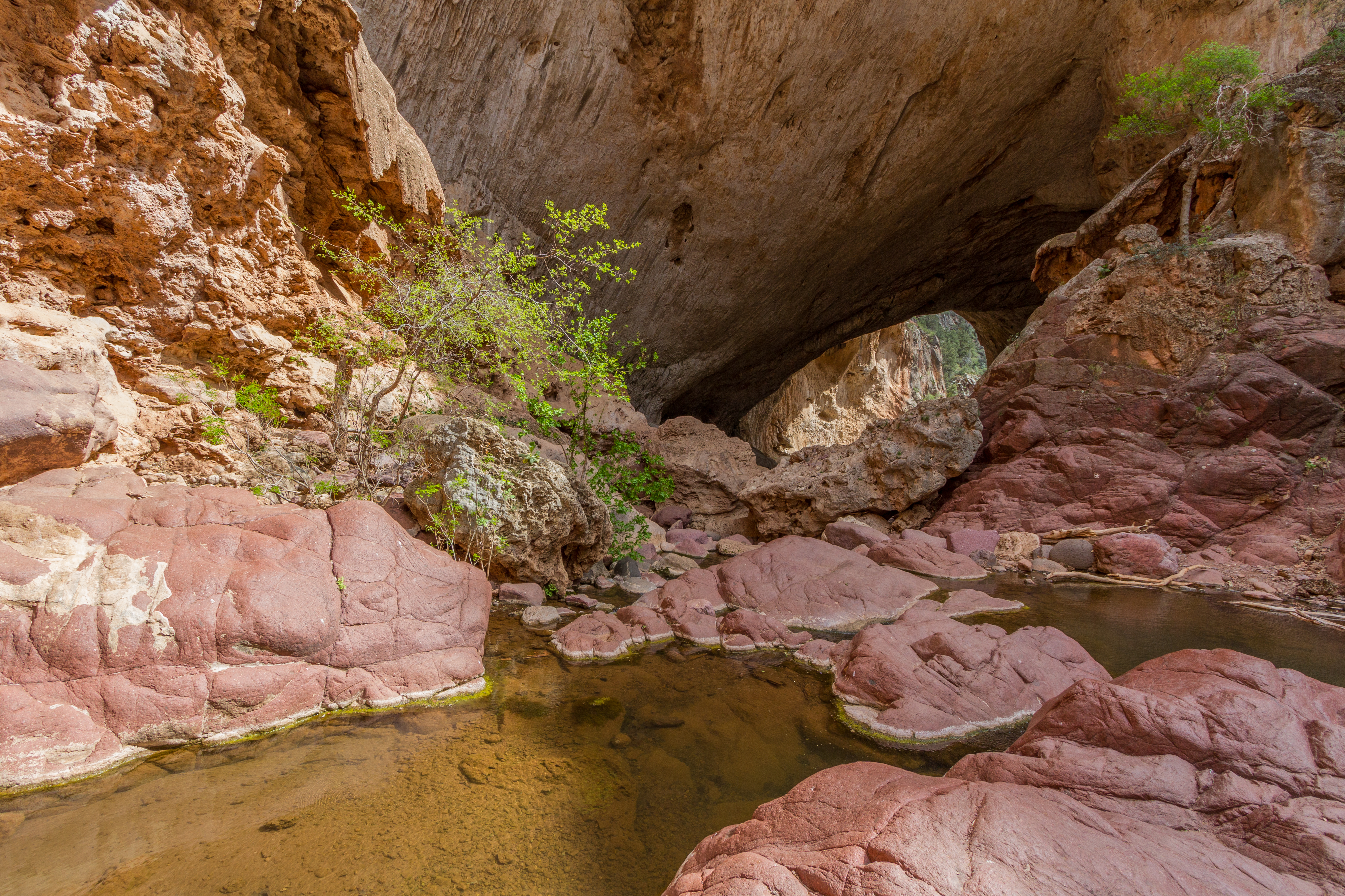
Tonto Natural Bridge
Tonto Natural Bridge
Let's venture out #exploremore2016
Jerome 2013

Tonto Natural Bridge State Park

Tonto Natural Bridge State Park
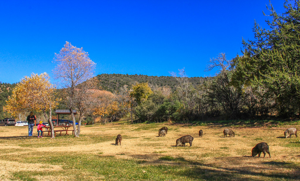
State Park Javelina

Copper Mine in Miami, AZ (yes we have one too)
must shoot
Tonto Natural Bridge State Park
TontoNaturalBridge_20060805 004
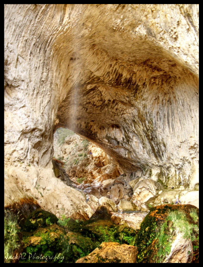
Tonto Natural Bridge Waterfall

there it is
Panorama of Mogollon Rim (HDR)

that's one thick bridge
1105-TontoNaturalBridge-39
Tonto Natural Bridge
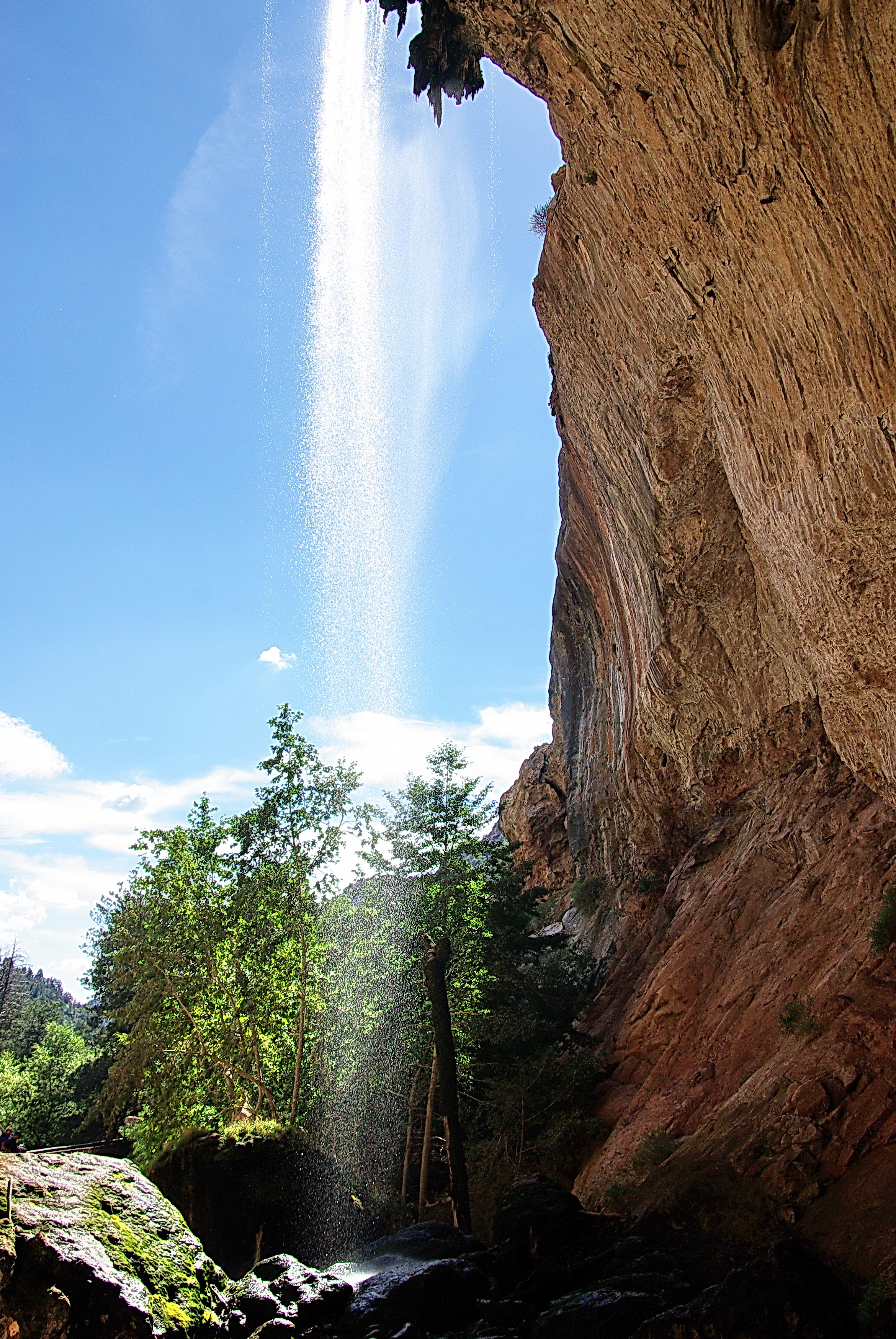
Tonto Natural Bridge under the waterfall
Topographic Map of Forest Service Road, Forest Service Rd, Arizona, USA
Find elevation by address:

Places near Forest Service Road, Forest Service Rd, Arizona, USA:
East Verde Estates Road
1532 Munsee Drive
Stallion Rd, Payson, AZ, USA
Mesa Del Caballo
Houston Mesa Road
Beaver Flat Rd, Payson, AZ, USA
Beaver Valley Estates
558 Skunk Hollow Ln
106 Buckskin Rd
5400 Squirrel Rd
5513 Mountain View Cir
259 Box Elder
259 Box Elder
360 Big Als Run
Hellsgate Fire Department Station 22
Tonto Village
Rim Road
Pumphouse Road
Squirrel Run
Thompson Draw Summer Homes Unit Two
Recent Searches:
- Elevation of Congressional Dr, Stevensville, MD, USA
- Elevation of Bellview Rd, McLean, VA, USA
- Elevation of Stage Island Rd, Chatham, MA, USA
- Elevation of Shibuya Scramble Crossing, 21 Udagawacho, Shibuya City, Tokyo -, Japan
- Elevation of Jadagoniai, Kaunas District Municipality, Lithuania
- Elevation of Pagonija rock, Kranto 7-oji g. 8"N, Kaunas, Lithuania
- Elevation of Co Rd 87, Jamestown, CO, USA
- Elevation of Tenjo, Cundinamarca, Colombia
- Elevation of Côte-des-Neiges, Montreal, QC H4A 3J6, Canada
- Elevation of Bobcat Dr, Helena, MT, USA