Elevation of Forest Hill, LA, USA
Location: United States > Louisiana > Rapides Parish > H >
Longitude: -92.531249
Latitude: 31.0418561
Elevation: 51m / 167feet
Barometric Pressure: 101KPa
Elevation Map:
Satellite Map:
Related Photos:
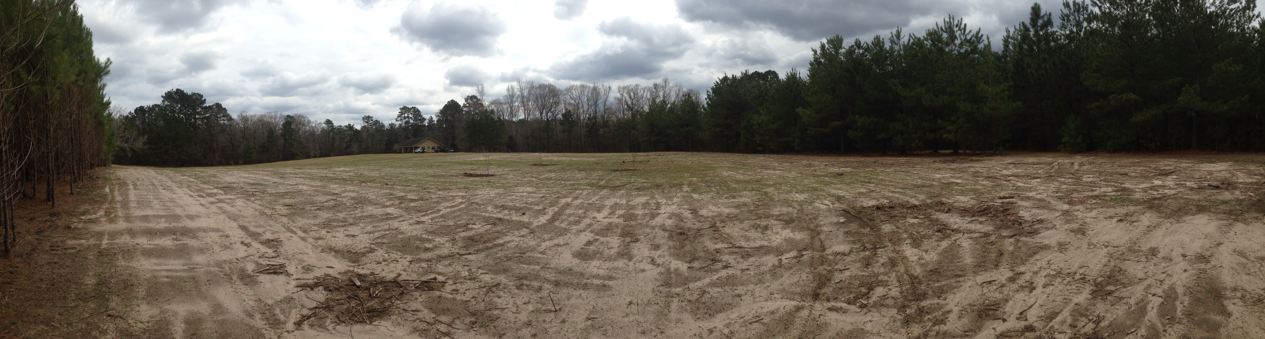
Home site before construction 1
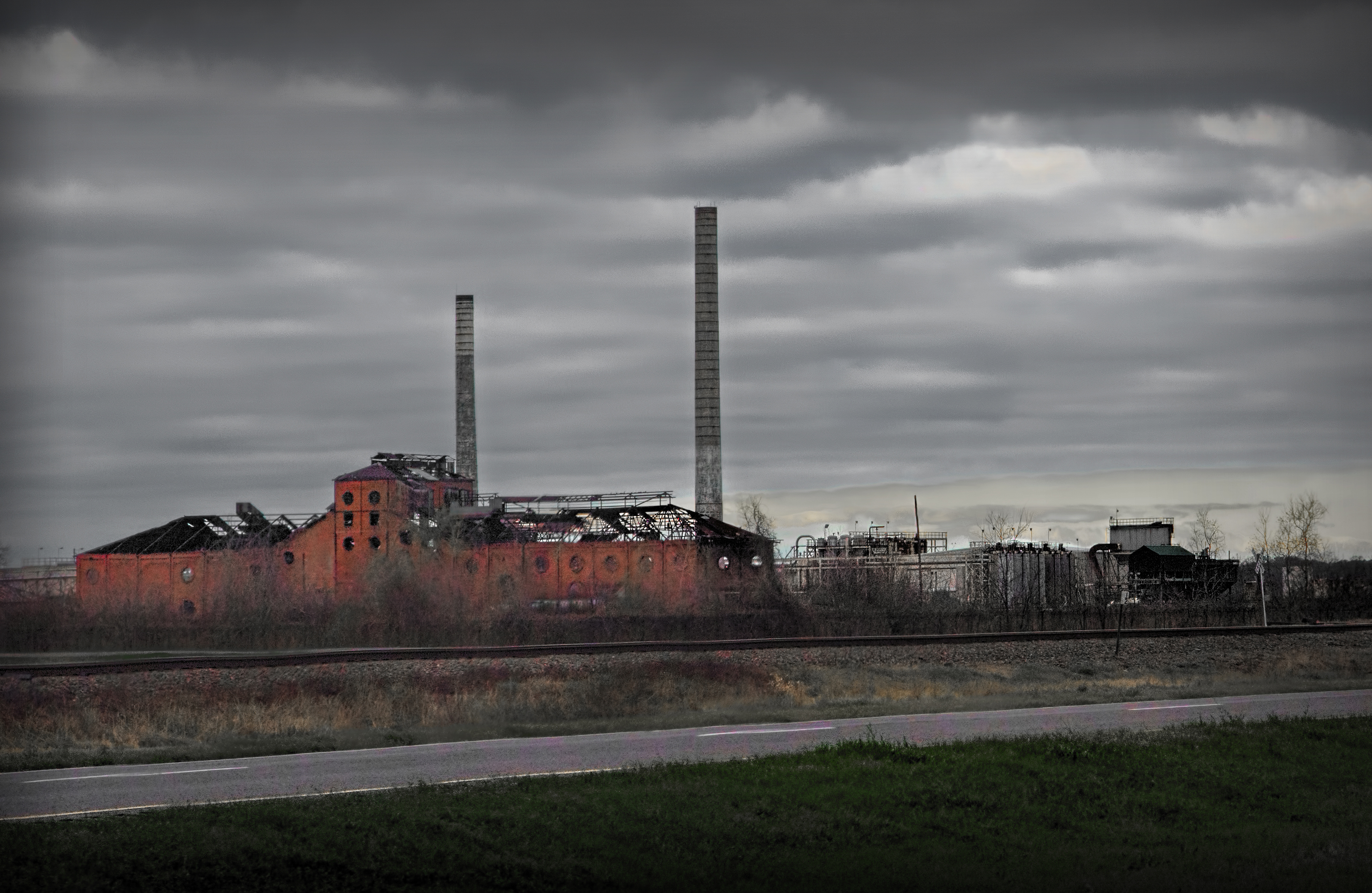
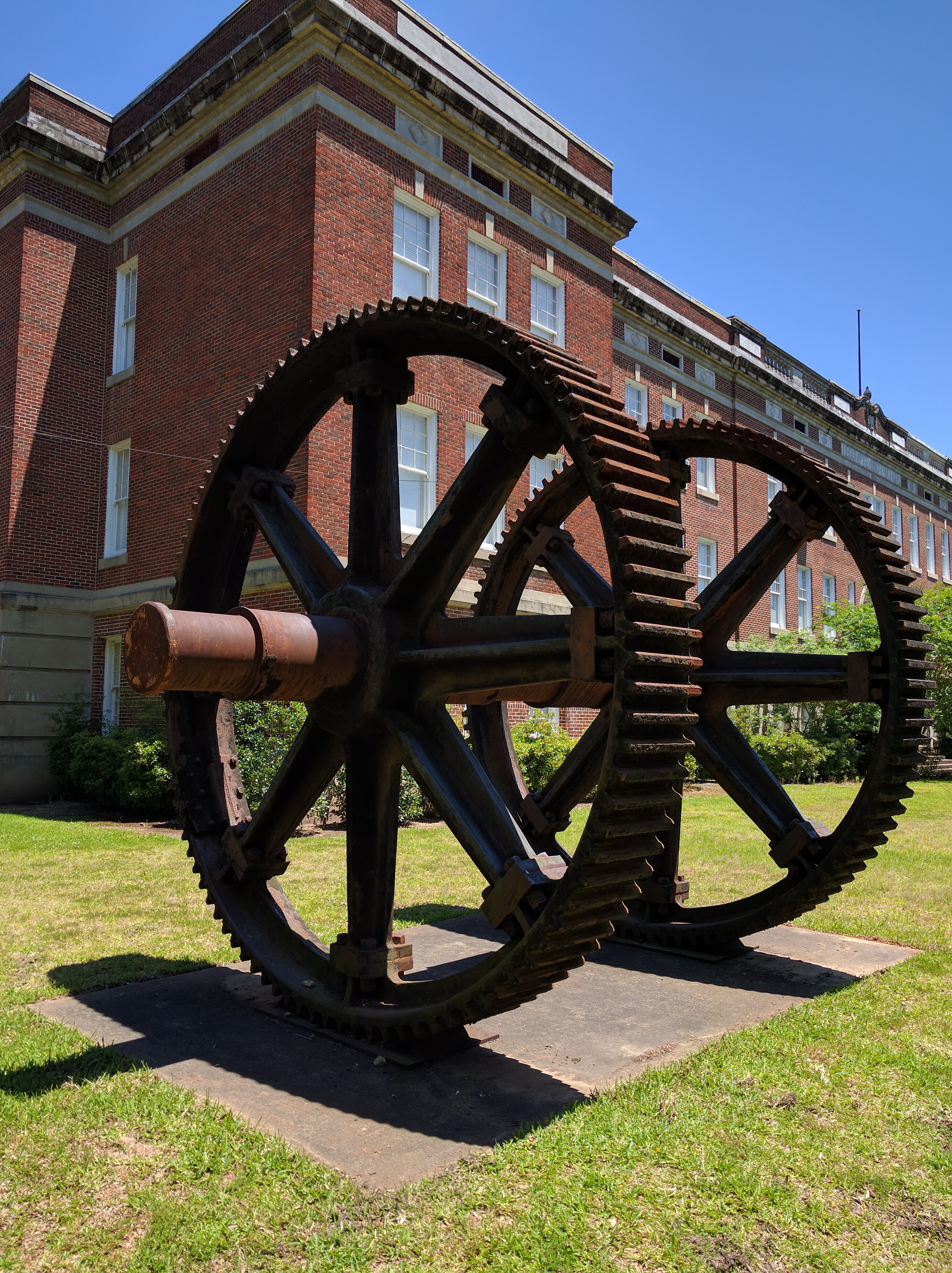
old sugar mill
The clearest way into the Universe is through a forest wilderness! #forest @trees #river #water ????????
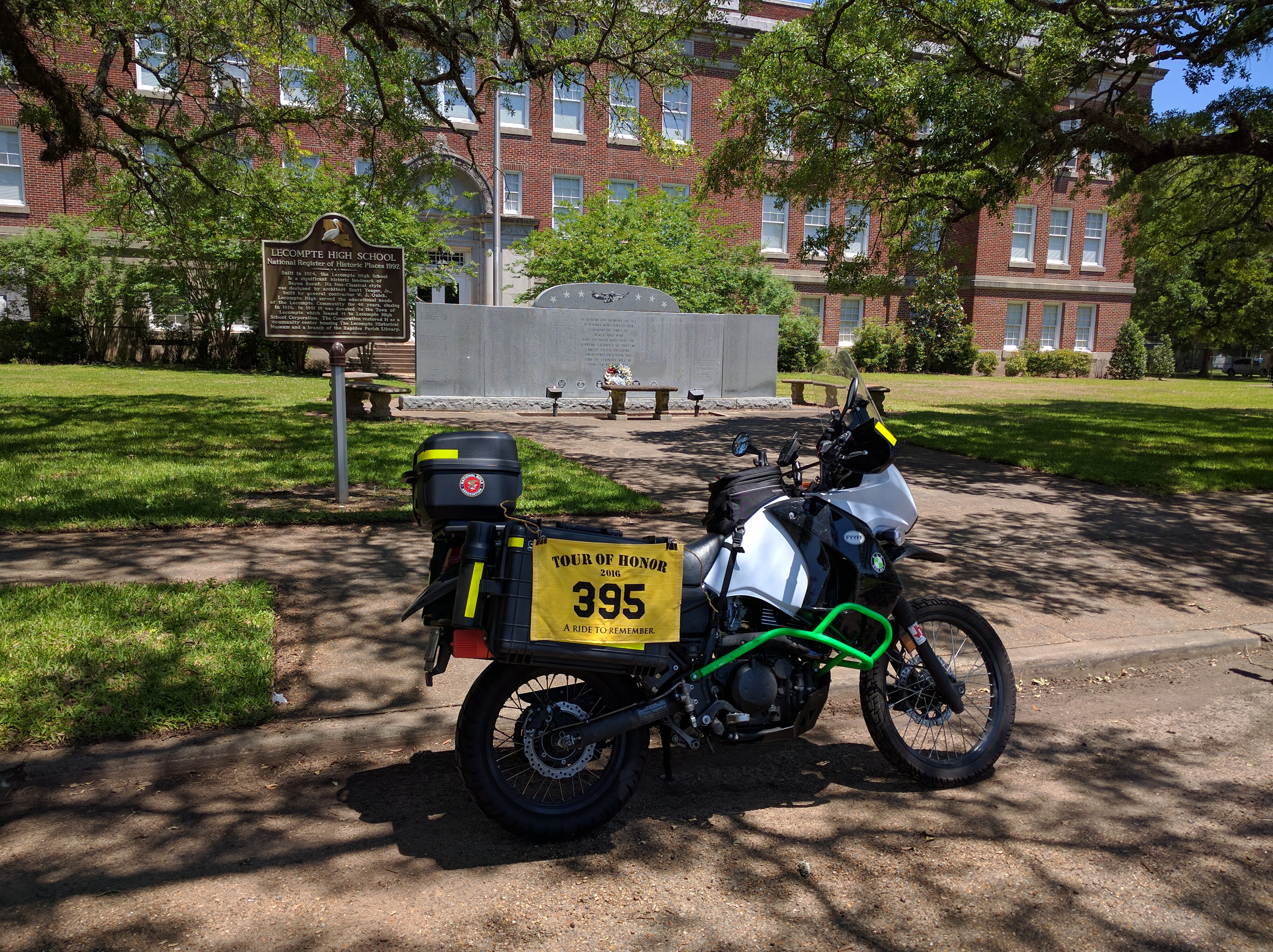
Tour of Honor 2016

Tour of Honor 2016

Tour of Honor 2016
Tour of Honor 2016

This little man is ready to hit the water! ????☀️

Lecompte, LA- I-49

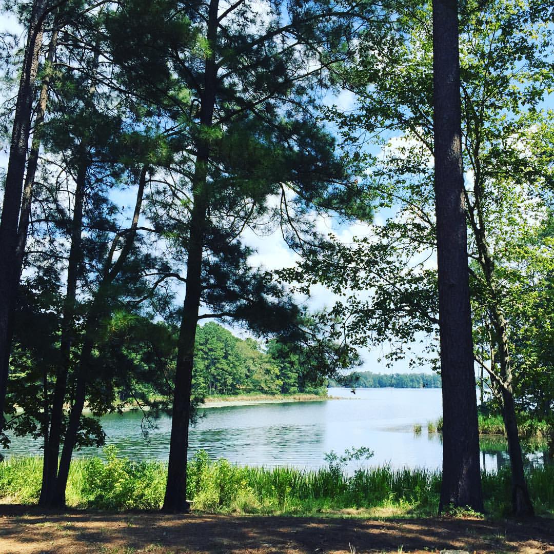
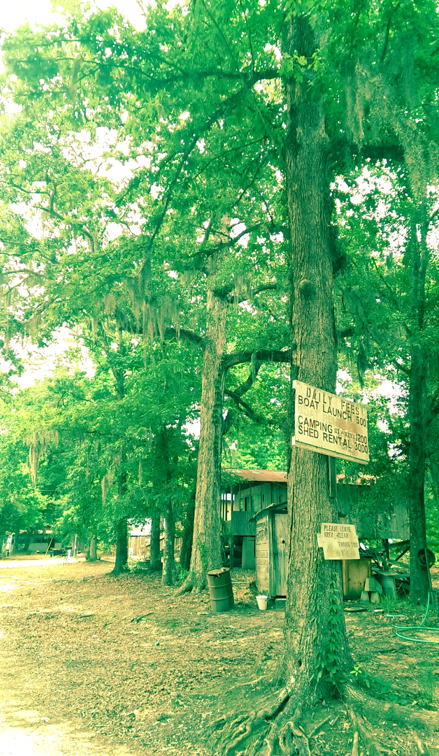
Bayou Boeuf
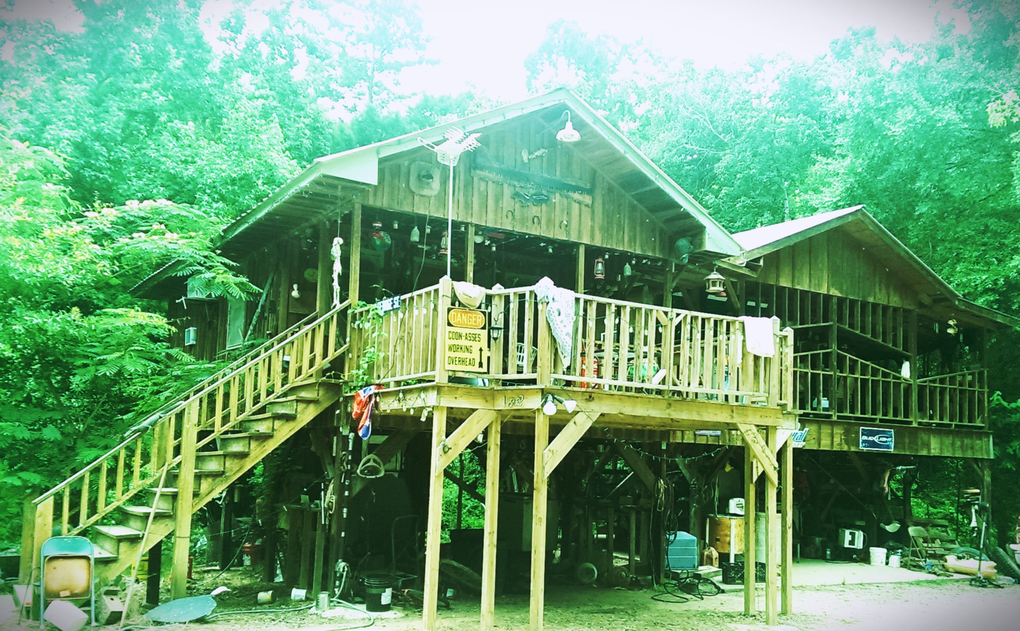
Landing house
Woods in Louisiana

Laura with her new Ruger 10/22
The trip home after vacation is the longest. #roadtrip

Jerie [email protected]
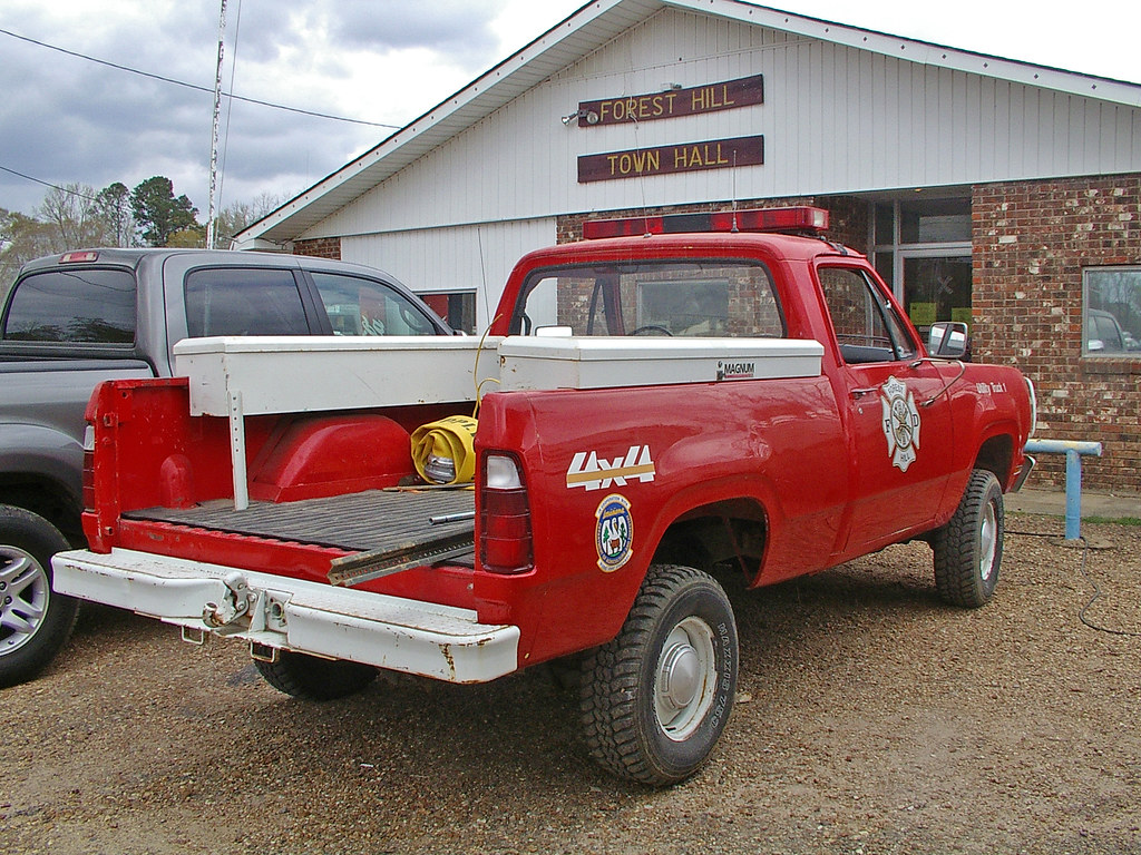
Forest Hill Fire Dept_002
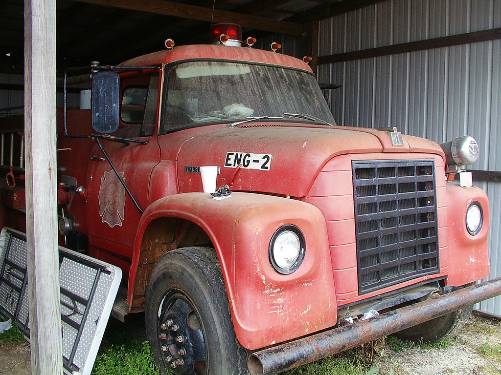
Forest Hill Fire Dept_014
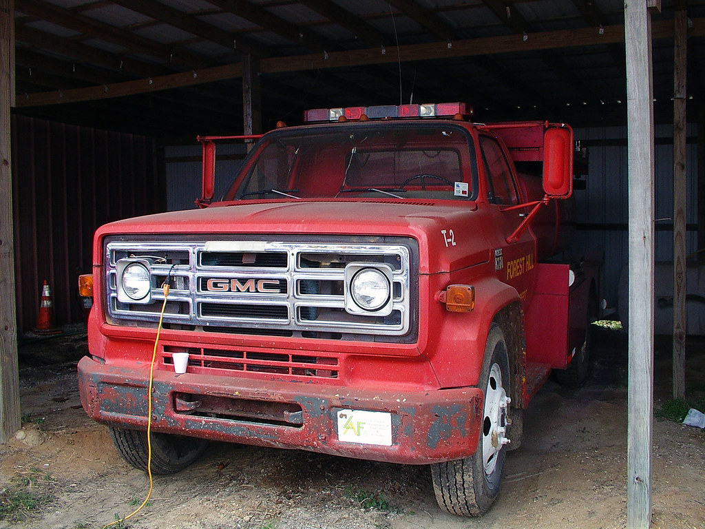
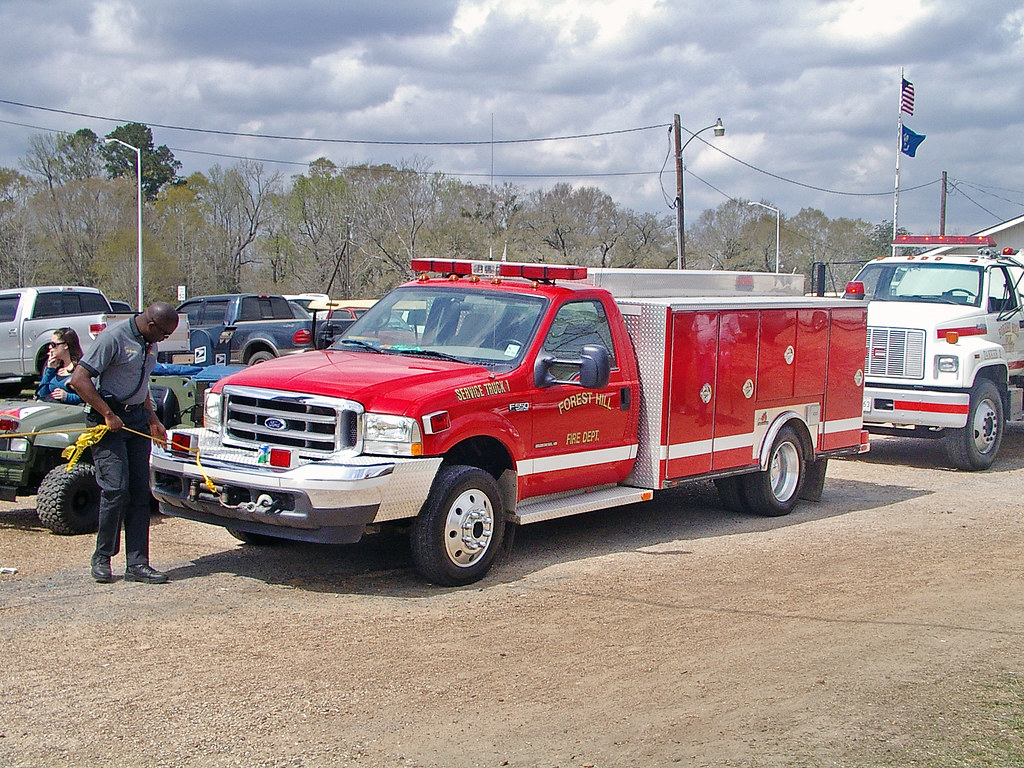
Forest Hill Fire Dept_016
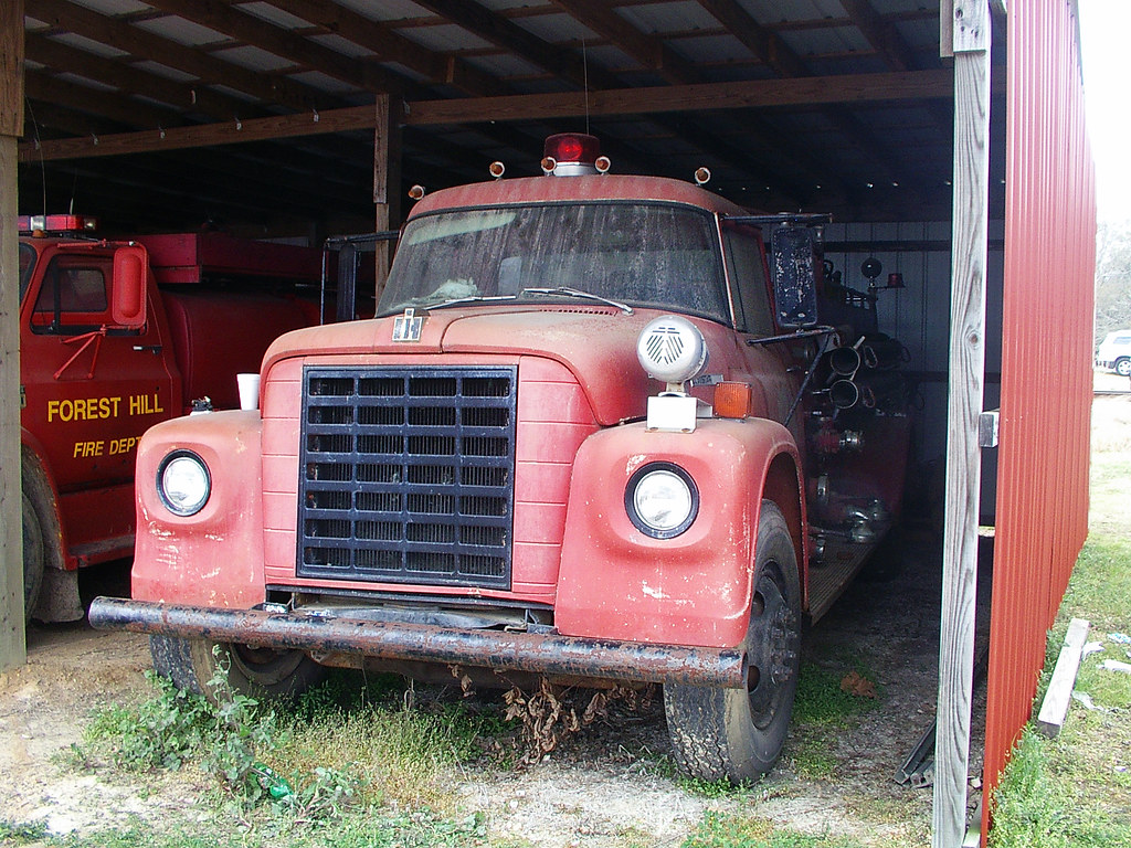
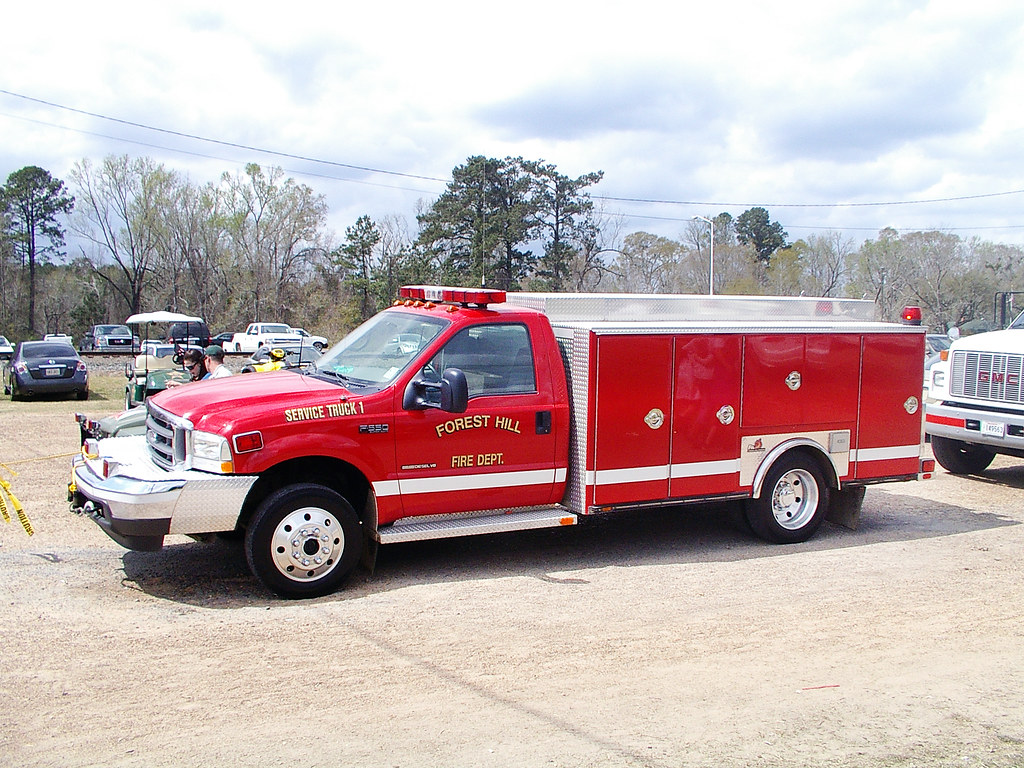
Forest Hill Fire Dept_015
Forest Hill Fire Dept_012
Forest Hill Fire Dept_011
Topographic Map of Forest Hill, LA, USA
Find elevation by address:

Places in Forest Hill, LA, USA:
Places near Forest Hill, LA, USA:
LA-, Forest Hill, LA, USA
US-, Forest Hill, LA, USA
3800 La-112
H
1903 Britt Dr
2002 Turkey Creek Rd
Glenmora
214 Belle Trace Rd
613 12th Ave
41 Bucks Landing Rd, Forest Hill, LA, USA
Rapides Parish
Woodworth
303 N Spring Dr
19 Toby Ln
12 Melder Rd, Glenmora, LA, USA
Lecompte
Coulee Crossing Rd, Woodworth, LA, USA
Snowden Lane
222 Snowden Ln
Elmer
Recent Searches:
- Elevation of Lampiasi St, Sarasota, FL, USA
- Elevation of Elwyn Dr, Roanoke Rapids, NC, USA
- Elevation of Congressional Dr, Stevensville, MD, USA
- Elevation of Bellview Rd, McLean, VA, USA
- Elevation of Stage Island Rd, Chatham, MA, USA
- Elevation of Shibuya Scramble Crossing, 21 Udagawacho, Shibuya City, Tokyo -, Japan
- Elevation of Jadagoniai, Kaunas District Municipality, Lithuania
- Elevation of Pagonija rock, Kranto 7-oji g. 8"N, Kaunas, Lithuania
- Elevation of Co Rd 87, Jamestown, CO, USA
- Elevation of Tenjo, Cundinamarca, Colombia