Elevation of Forest Dr, La Grange, NC, USA
Location: United States > North Carolina > Lenoir County > Moseley Hall > La Grange >
Longitude: -77.778756
Latitude: 35.29804
Elevation: 32m / 105feet
Barometric Pressure: 101KPa
Elevation Map:
Satellite Map:
Related Photos:
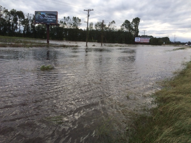
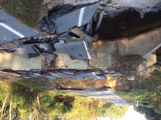
U.S. 70
"Son, that's where yer shirt comes from, not from the department store." Said Matt in his old man voice.
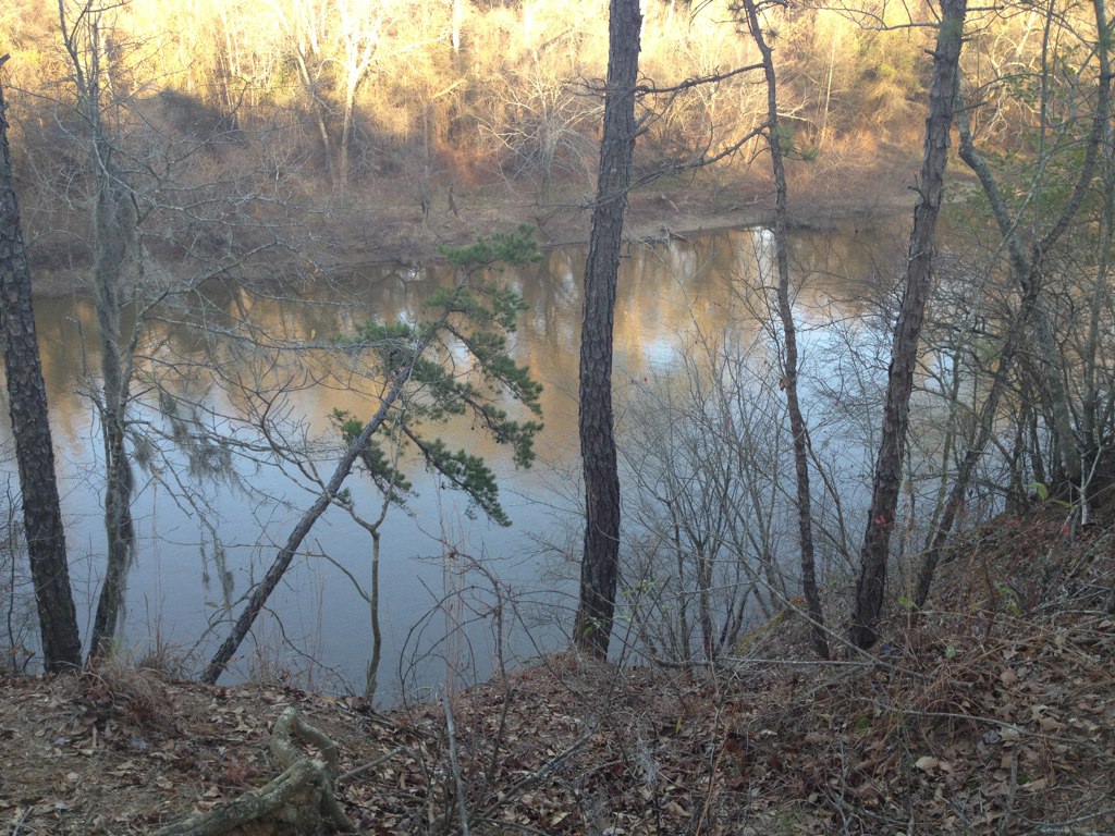
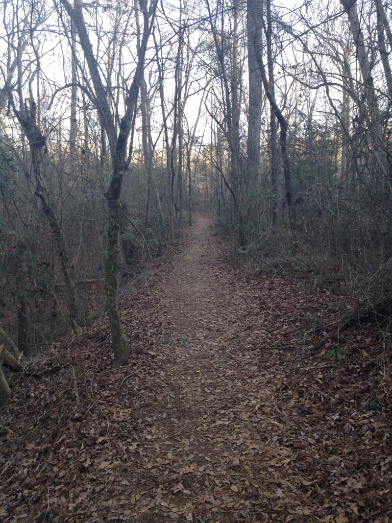
Cliffs of the Neuse

20161124_171448-01
J&J Rental
Neuse River Cliffs of the Neuse SP NC 0351
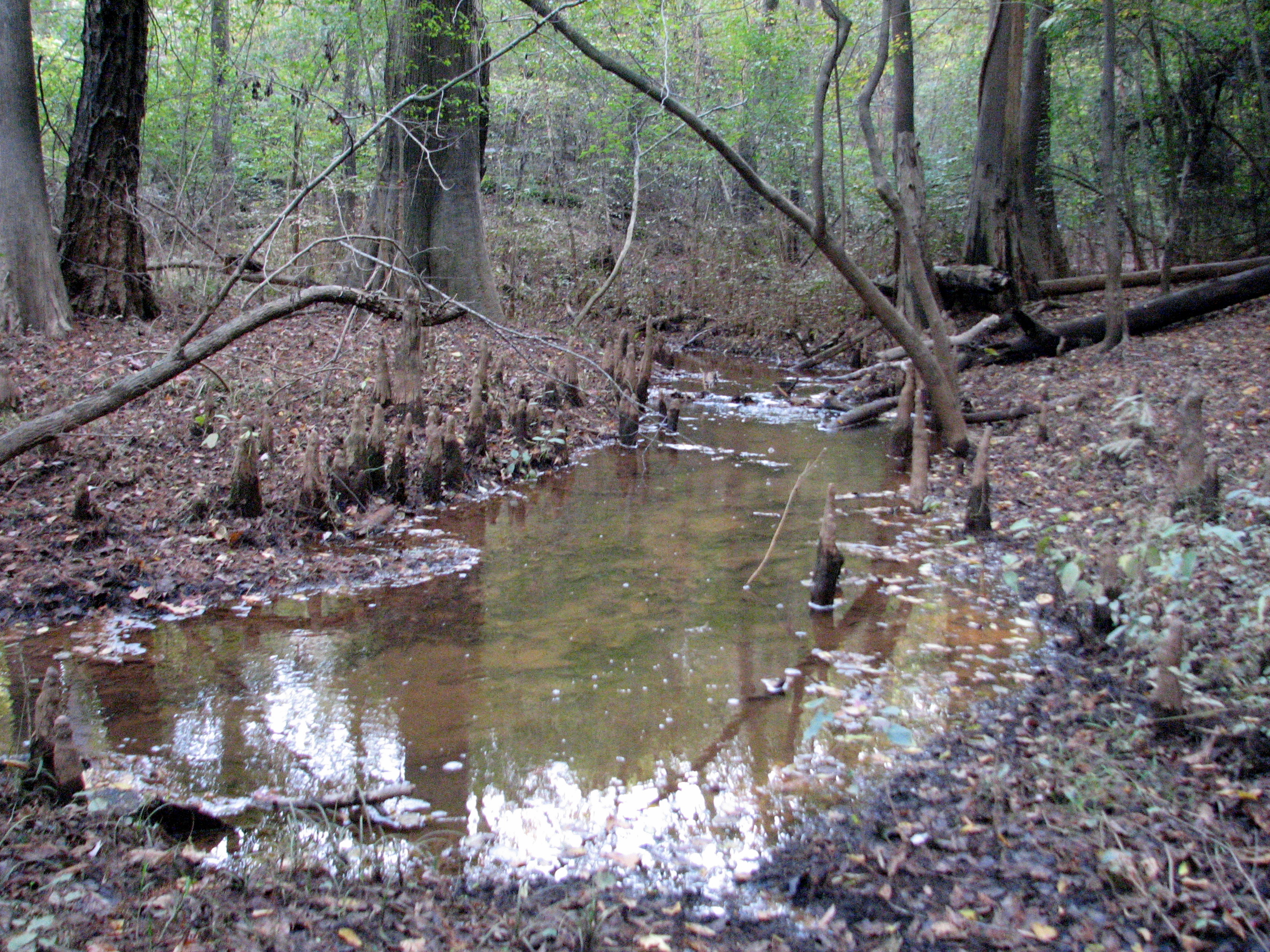
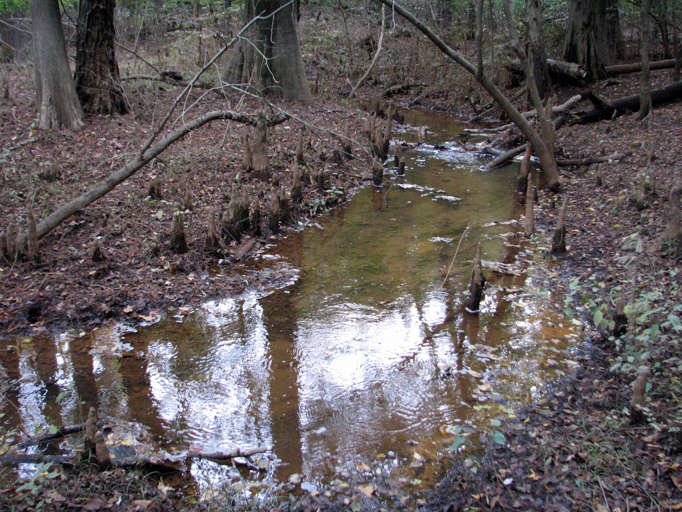
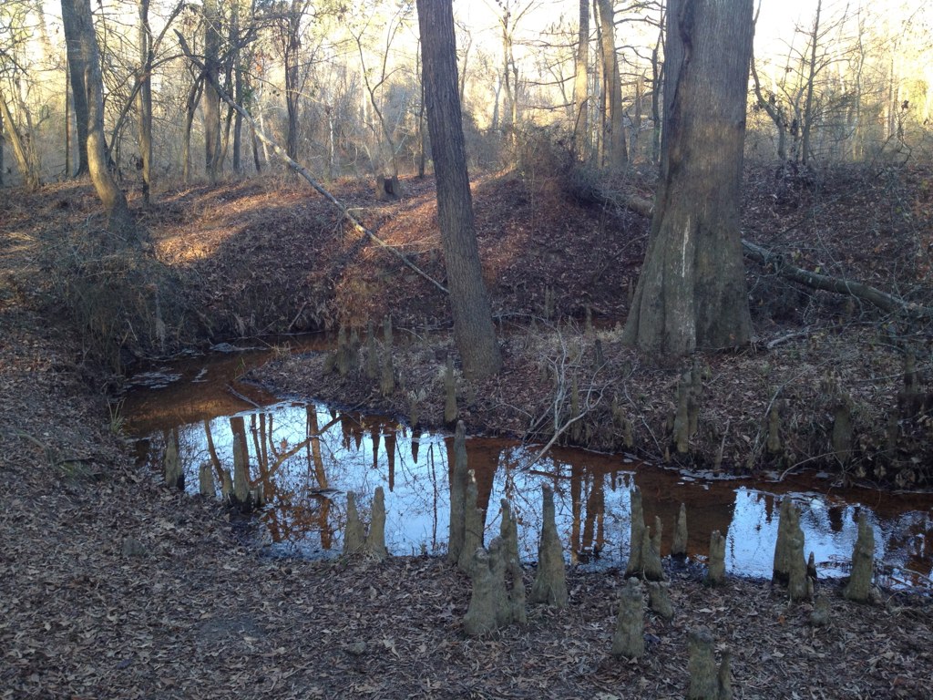
Cypress Knees on the creek Cliffs of the Neuse SP NC 0365
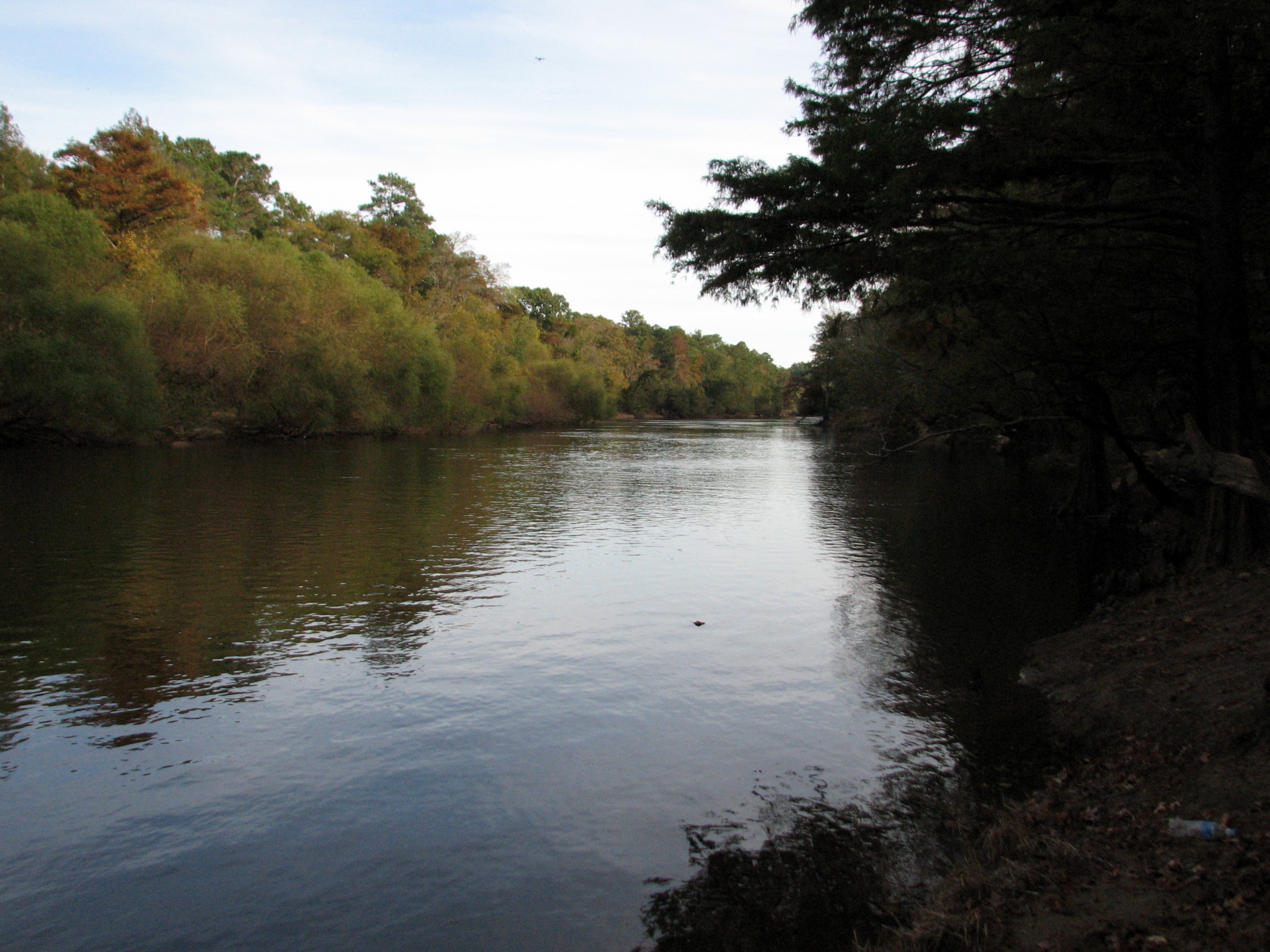
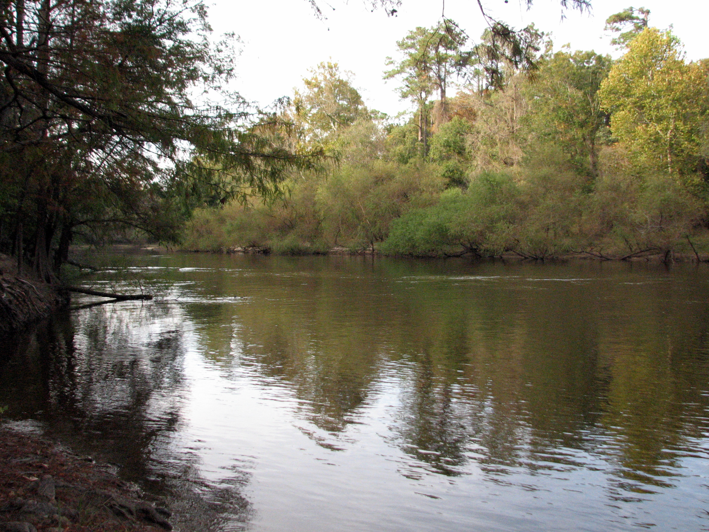
Neuse River Cliffs of the Neuse SP NC 0350
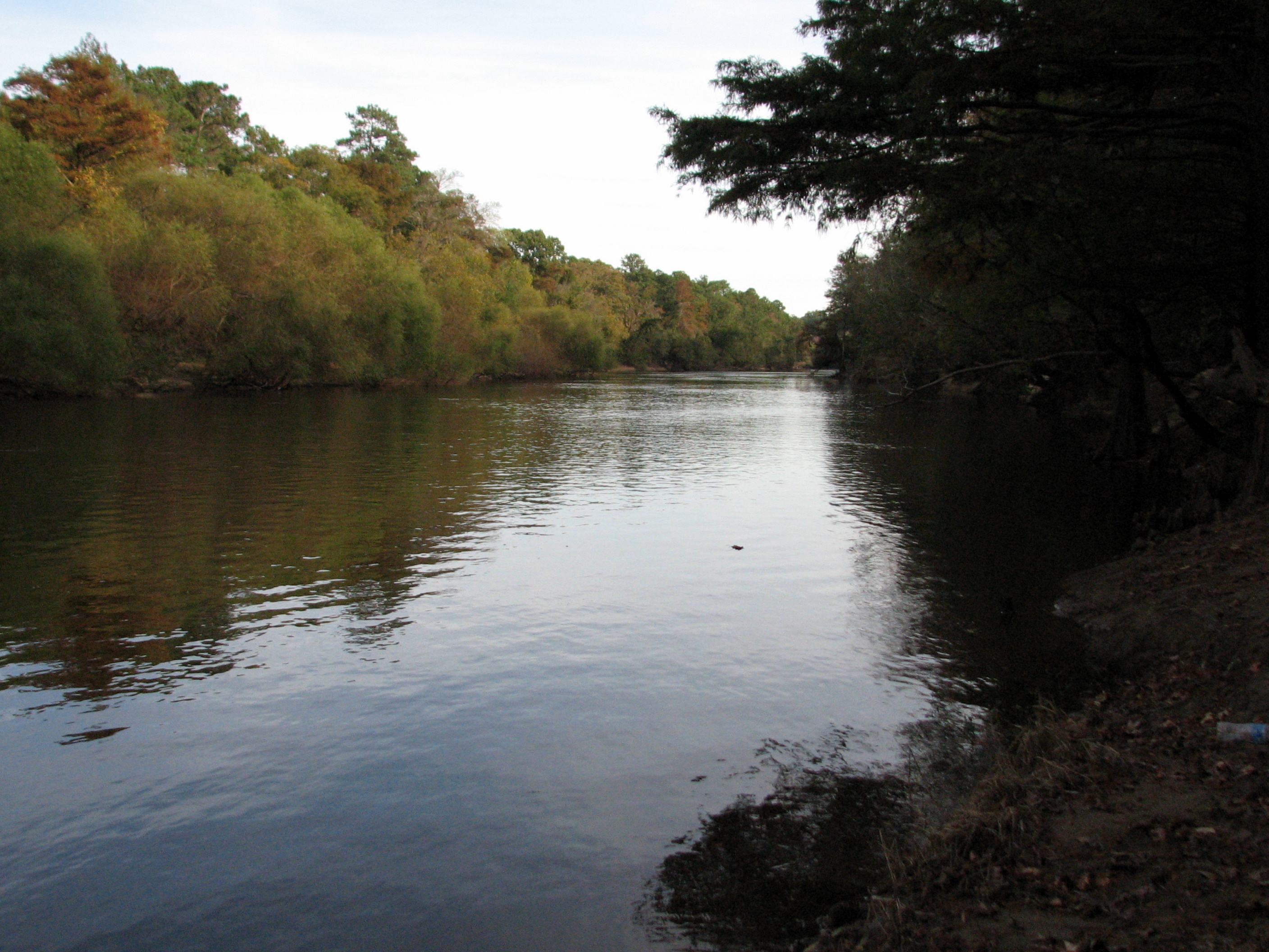
Neuse River Cliffs of the Neuse SP NC 779
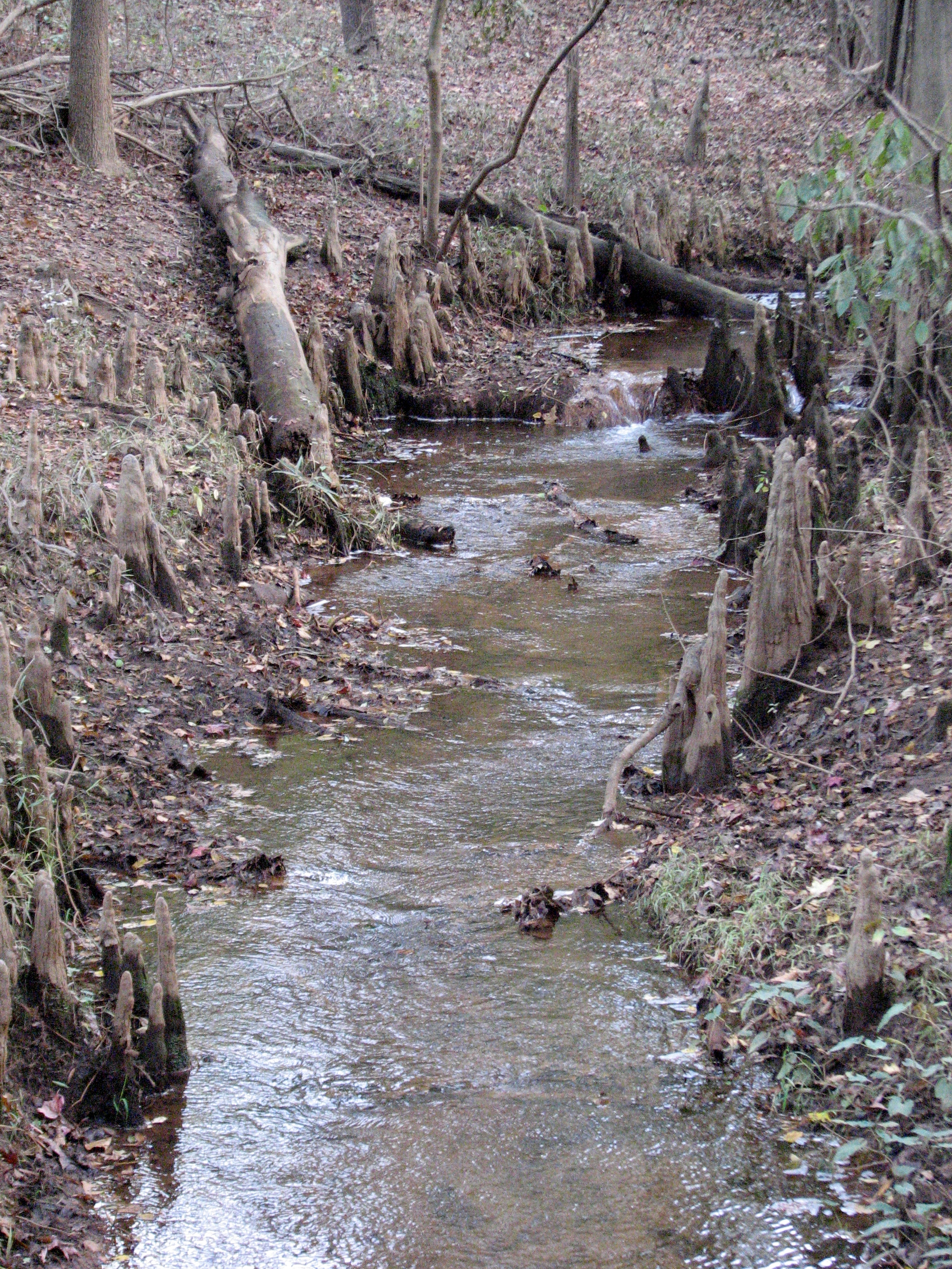
Cypress Knees on the creek Cliffs of the Neuse SP NC 0364
Cliffs of the Neuse
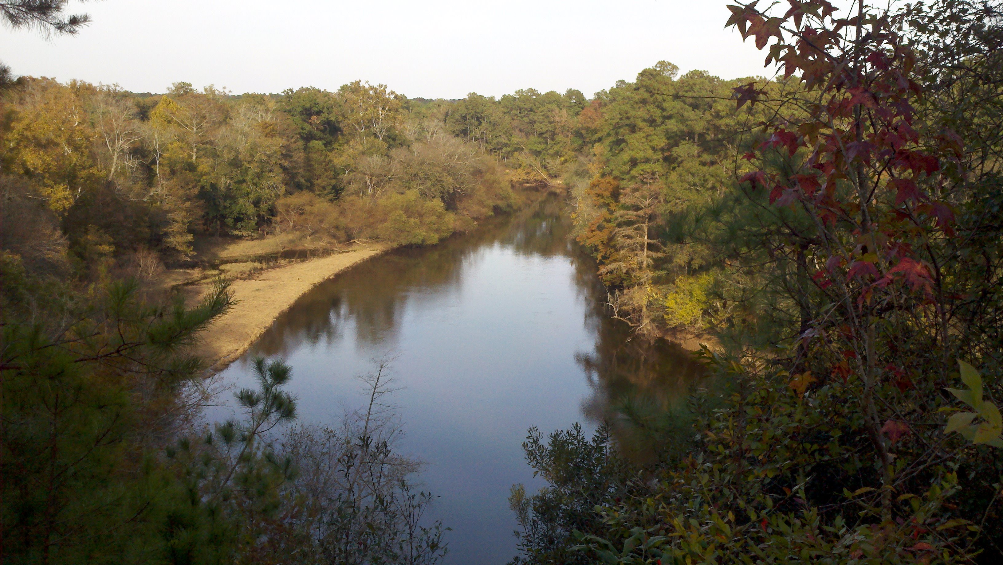
Neuse River Cliffs of the Neuse SP NC 0352
Cypress Knees on the creek Cliffs of the Neuse SP NC 0358

Cypress Knees on the creek Cliffs of the Neuse SP NC 0357
Cliffs of the Neuse
NC 55 south of Sandy Bottom
Cliffs of the Neuse
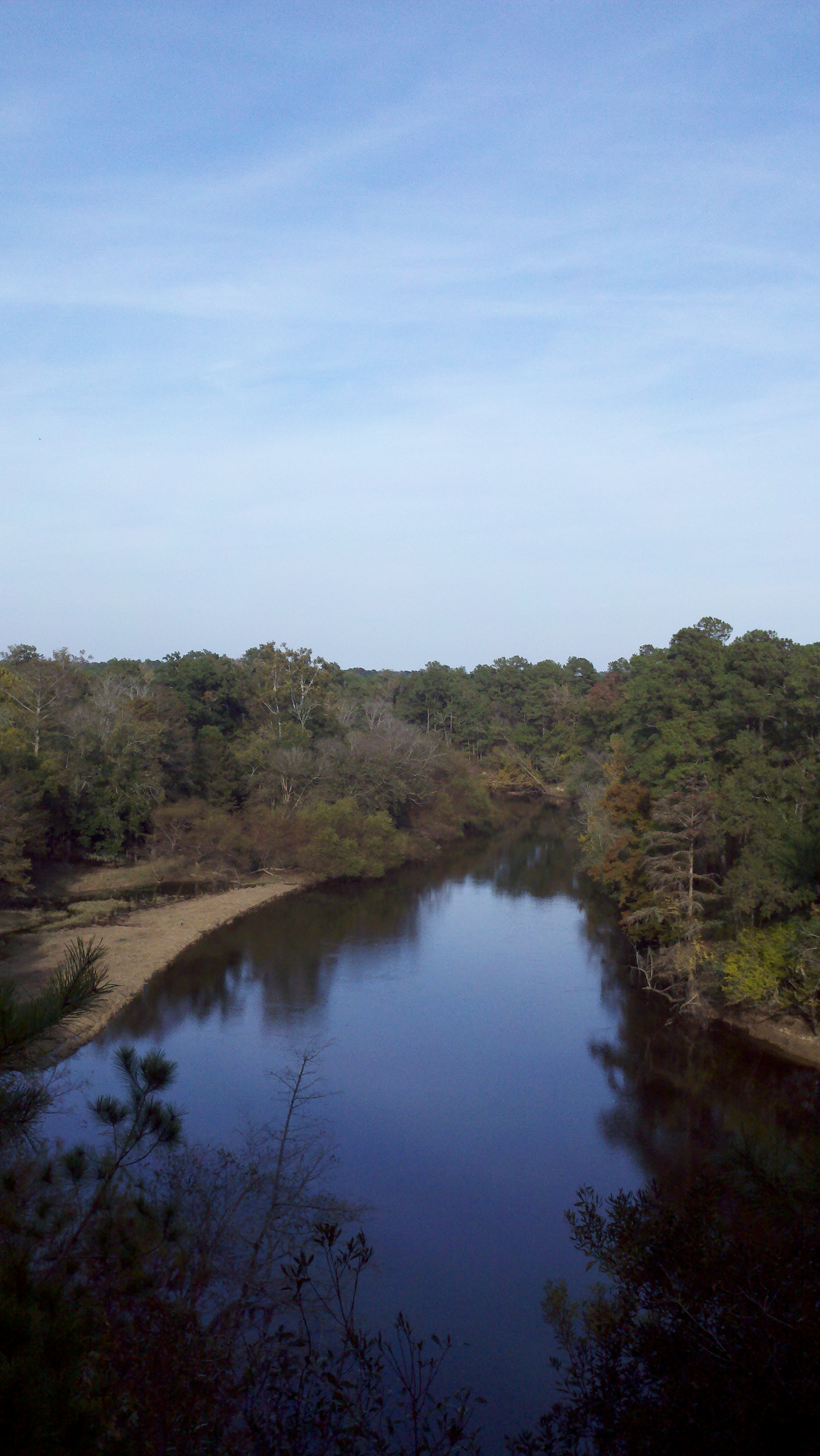
Neuse River Cliffs of the Neuse SP NC 471
Topographic Map of Forest Dr, La Grange, NC, USA
Find elevation by address:

Places near Forest Dr, La Grange, NC, USA:
La Grange
West Washington Street
Moseley Hall
2586 Albert Sugg Rd
201 Ellington Way
Louie Pollock Road
Grace's Farm Road
411 Grace's Farm Rd
4180 Davis-hardy Rd
Walnut Creek
101 Main St
616 Lakeshore Dr
Seven Springs
201 Sevendales Dr
210 Clay Rd
626 Lakeshore Dr
Moss Hill Ruritan Building
101 Solara Dr
118 Leafwood Dr
Trent
Recent Searches:
- Elevation of Hobbyhorse Ct, Dover, DE, USA
- Elevation of Horseshoe Ln, Dahlonega, GA, USA
- Elevation of Village Point Dr, Daphne, AL, USA
- Elevation map of Kabardino-Balkarian Republic, Russia
- Elevation of Tyrnyauz, Kabardino-Balkarian Republic, Russia
- Elevation of Sunset Dr, Hernando, MS, USA
- Elevation of Lake Rotoroa, Tasman, New Zealand
- Elevation of George St, New Bern, NC, USA
- Elevation of Cove Rd, Jasper, GA, USA
- Elevation of Cove Rd, Jasper, GA, USA