Elevation of Foothill Estates, Citrus Heights, CA, USA
Location: United States > California > Sacramento County > Citrus Heights >
Longitude: -121.32485
Latitude: 38.6986742
Elevation: 43m / 141feet
Barometric Pressure: 101KPa
Elevation Map:
Satellite Map:
Related Photos:
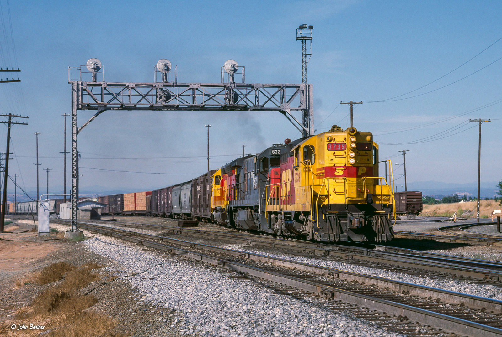
SP 3739 West at Antelope, CA

Cactus Flower

Calm Before the Storm

Rainbow Bridge Panorama

Dawn View from Crooked Bridge
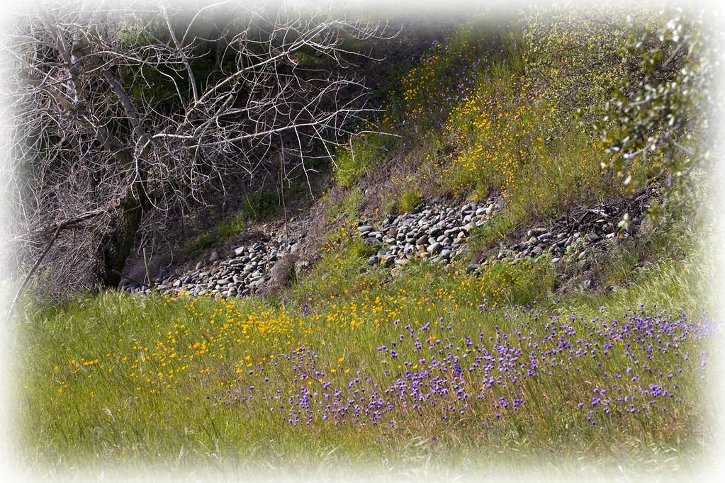
Spring Wildflowers 0026

Blue Heron In Vetch 0893

Afternoon Reflection 1794

Naomikens - Grace under Pressure

Xmas_2254-Bad2020Xmas

JennyJoyce _1077

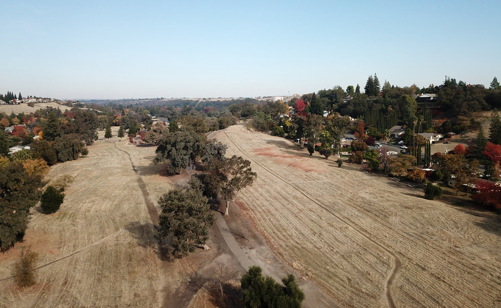
Hazel Ave Corridor

Winter At The Old Church 5621

Day 939: Folsom_9599d

Anna's Hummingbird (Calypte Anna) pregnant female

Sacramento. Ancil Hoffman Park. American River

Up River

California Looks Appcalyptic 3275

6086 evening reflections

Granite Park in Autumn
Rocklin Trail 0008

Suburban Pastoral

the road not taken

Lake Natoma Crossing - Aerial

Green and Blue with Infrastructure

Folsom Dam

Foggy Mornings

Folsom Dam, Granite Bay side

"Hiking" through some redwoods

wading...

Rainbow, reflected
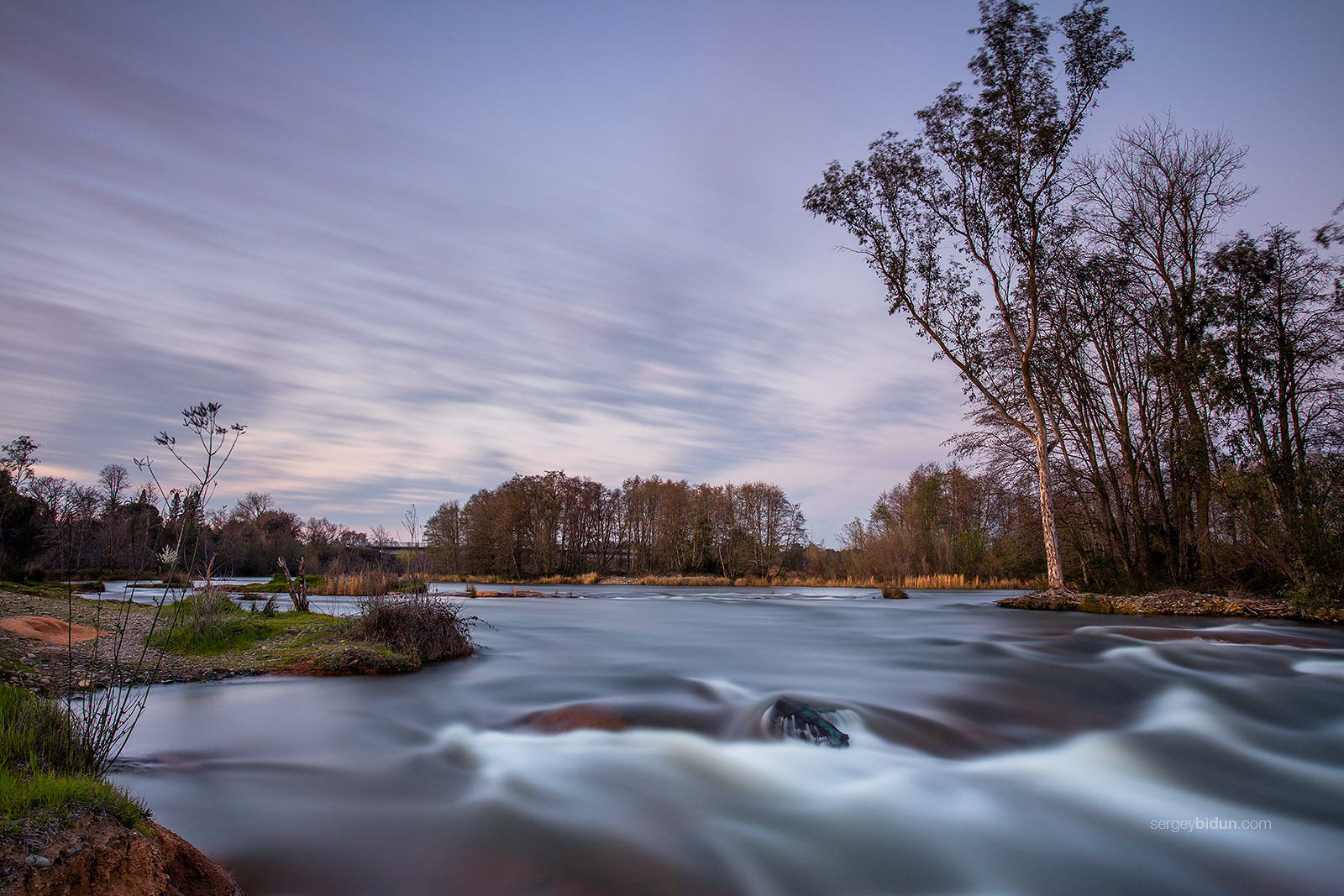
American River
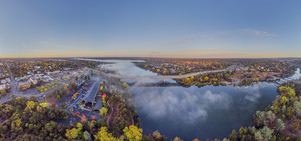
Lake Natoma Aerial Panorama
Topographic Map of Foothill Estates, Citrus Heights, CA, USA
Find elevation by address:

Places in Foothill Estates, Citrus Heights, CA, USA:
Places near Foothill Estates, Citrus Heights, CA, USA:
Windlass Court
Tupelo Drive
Tupelo Drive
Old North Antelope Rd, Antelope, CA, USA
7253 Diablo Dr
Summerplace
5425 Beauford Ct
5701 Hawkeye Ln
8201 Summerplace Dr
Larchmont Chardonnay
6230 Yucatan Ave
6231 Freedom Ln
7773 Caribou Ridge Way
Diablo Drive
5025 Risley Ct
5023 Earlcort Cir
Antelope Trails
Donegal Terrace
6535 Steffano Ct
Wood Leaf Village
Recent Searches:
- Elevation of Vista Blvd, Sparks, NV, USA
- Elevation of 15th Ave SE, St. Petersburg, FL, USA
- Elevation of Beall Road, Beall Rd, Florida, USA
- Elevation of Leguwa, Nepal
- Elevation of County Rd, Enterprise, AL, USA
- Elevation of Kolchuginsky District, Vladimir Oblast, Russia
- Elevation of Shustino, Vladimir Oblast, Russia
- Elevation of Lampiasi St, Sarasota, FL, USA
- Elevation of Elwyn Dr, Roanoke Rapids, NC, USA
- Elevation of Congressional Dr, Stevensville, MD, USA