Elevation of Folkparksvägen, Kronoby, Finland
Location: Finland > Kronoby >
Longitude: 23.4518312
Latitude: 63.6015657
Elevation: 54m / 177feet
Barometric Pressure: 101KPa
Elevation Map:
Satellite Map:
Related Photos:

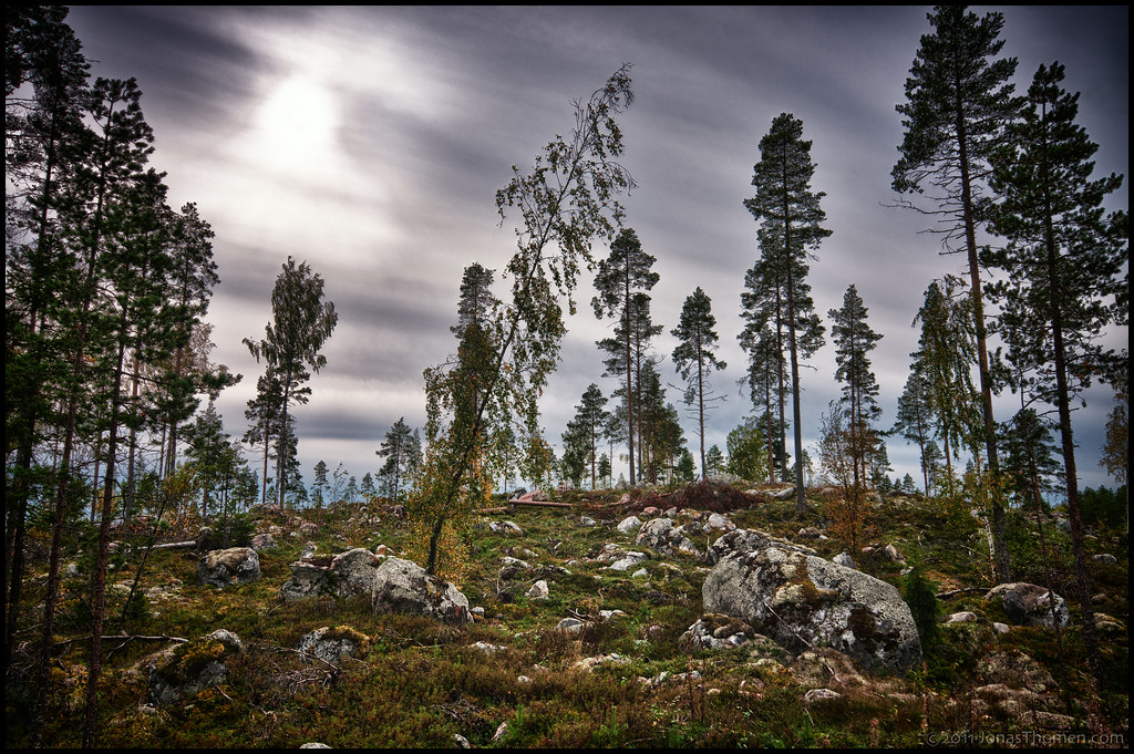
Just after rain

Frozen Dandelion
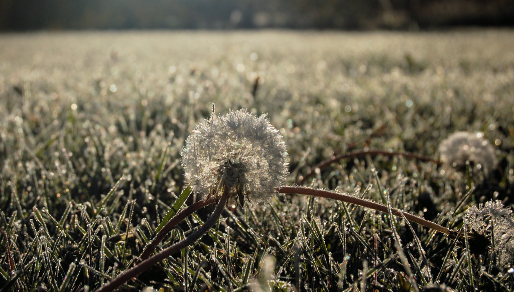
Frozen Dandelion II
Rekjärv
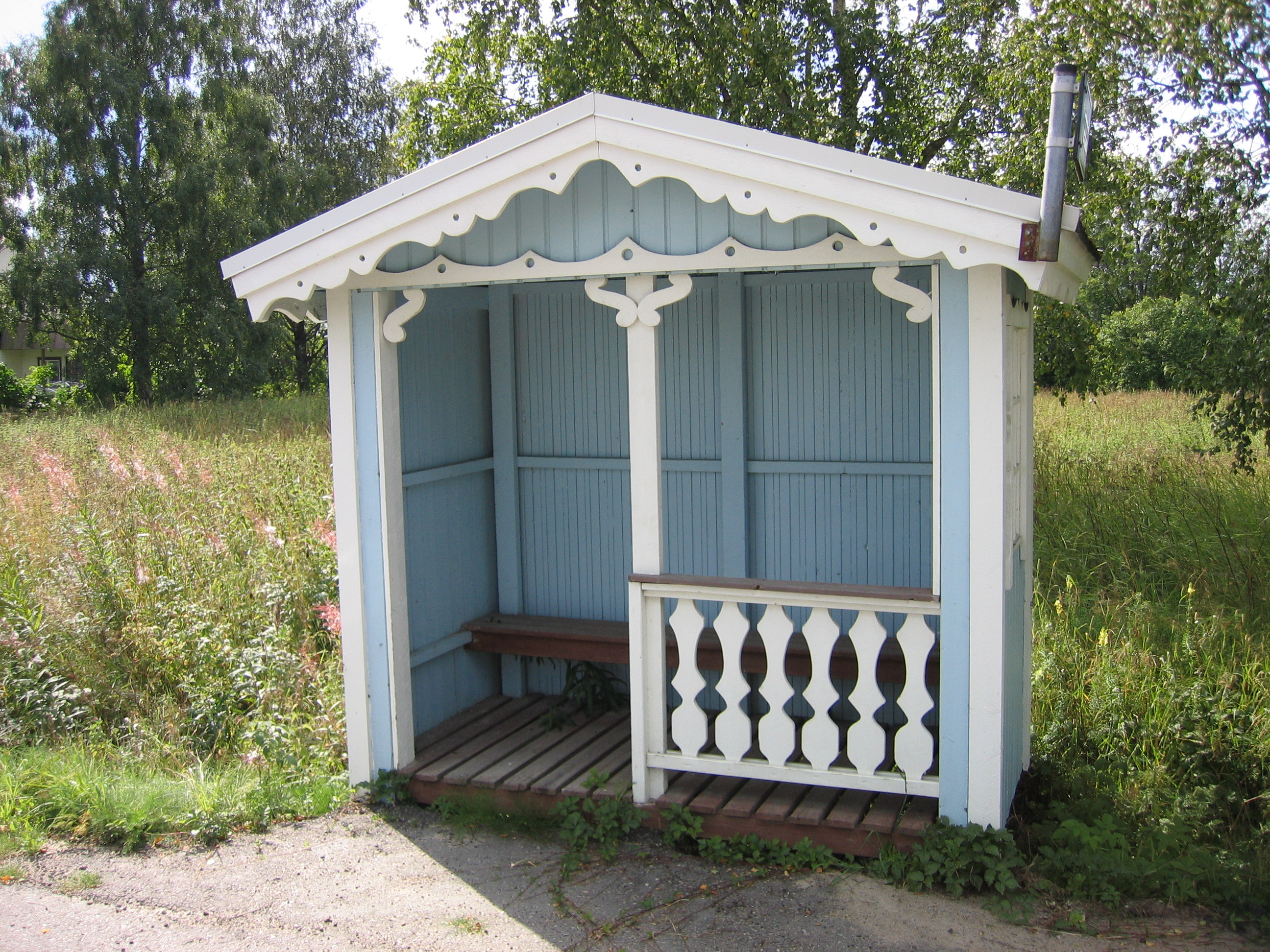
Bus Stop
Harrikka à la Kaustinen
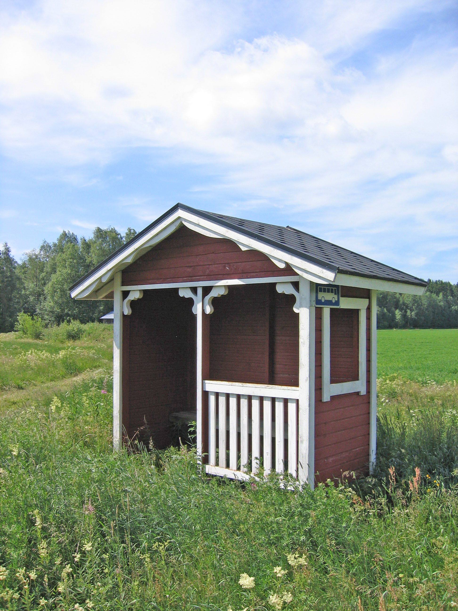
Bus Stop
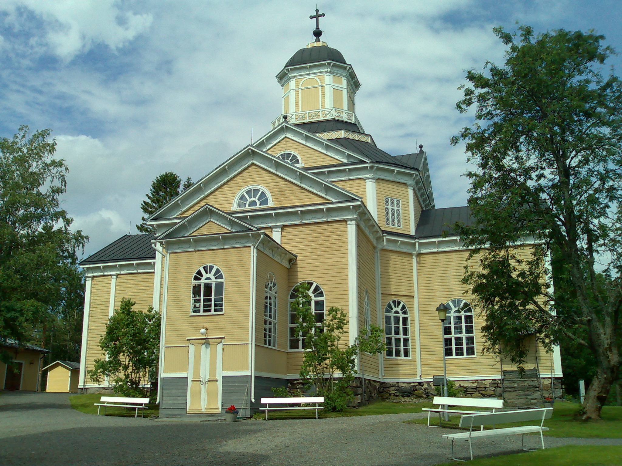
Teerijärven kirkko
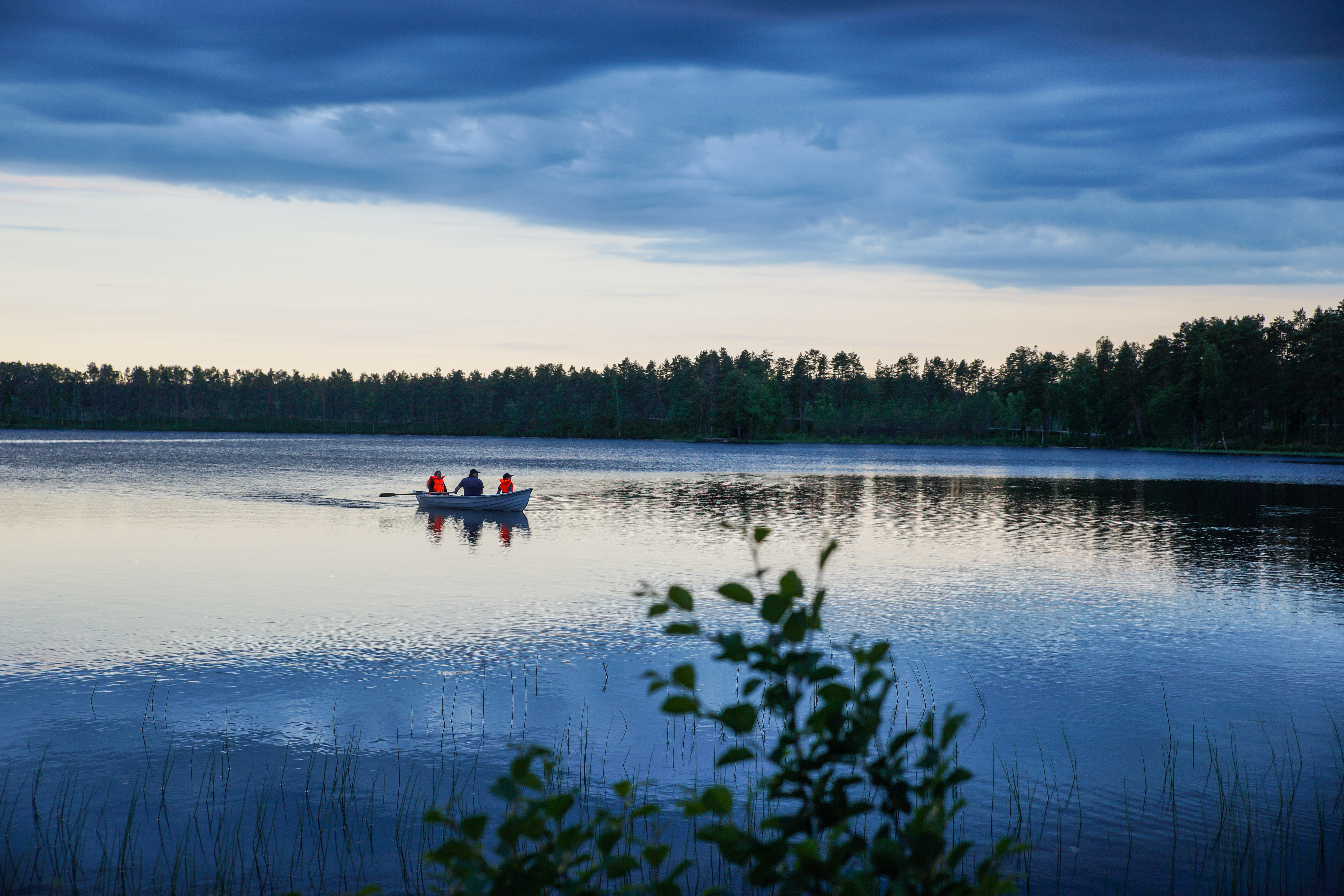
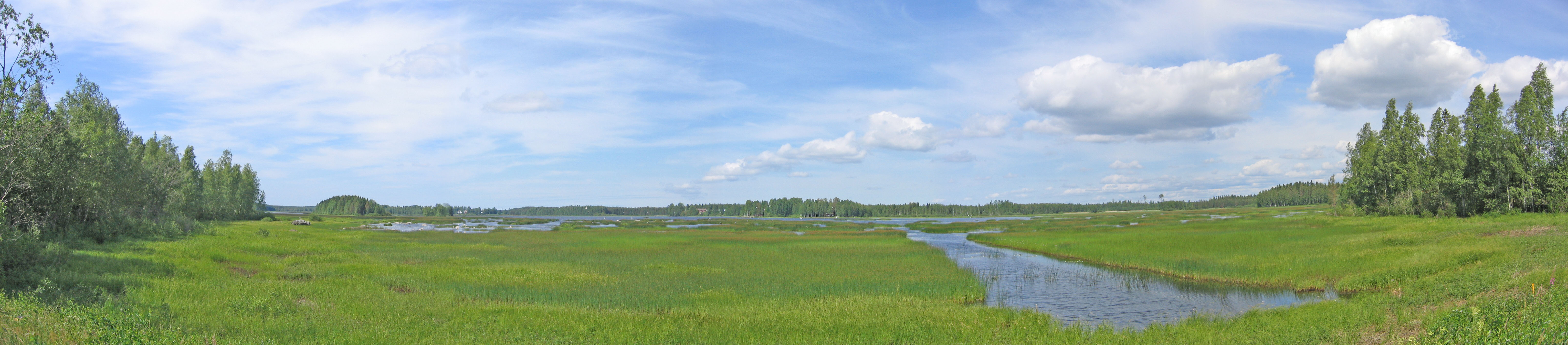
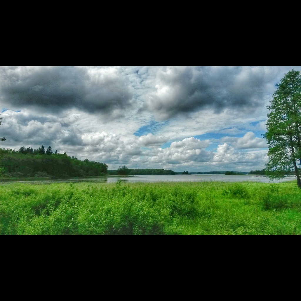
Lake view
View at 01 am

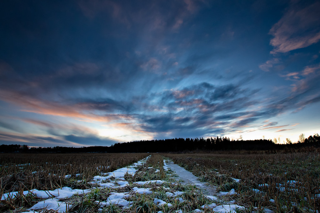
Tracks In A Field

Old mill in summer
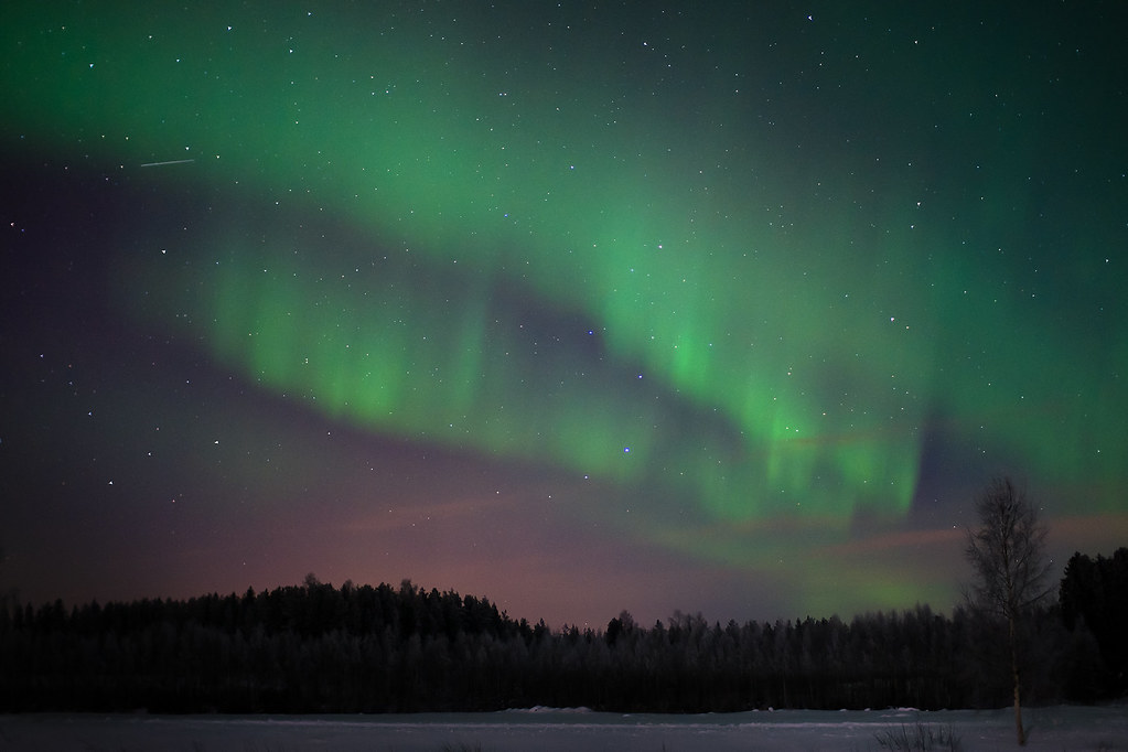
Foxfire III
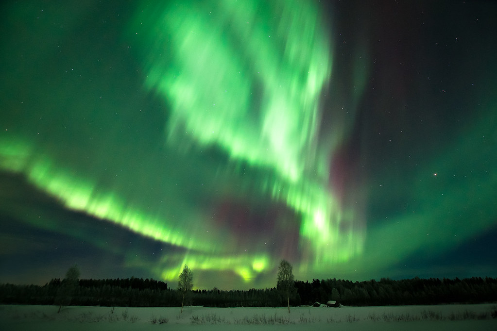
Fox Fire II
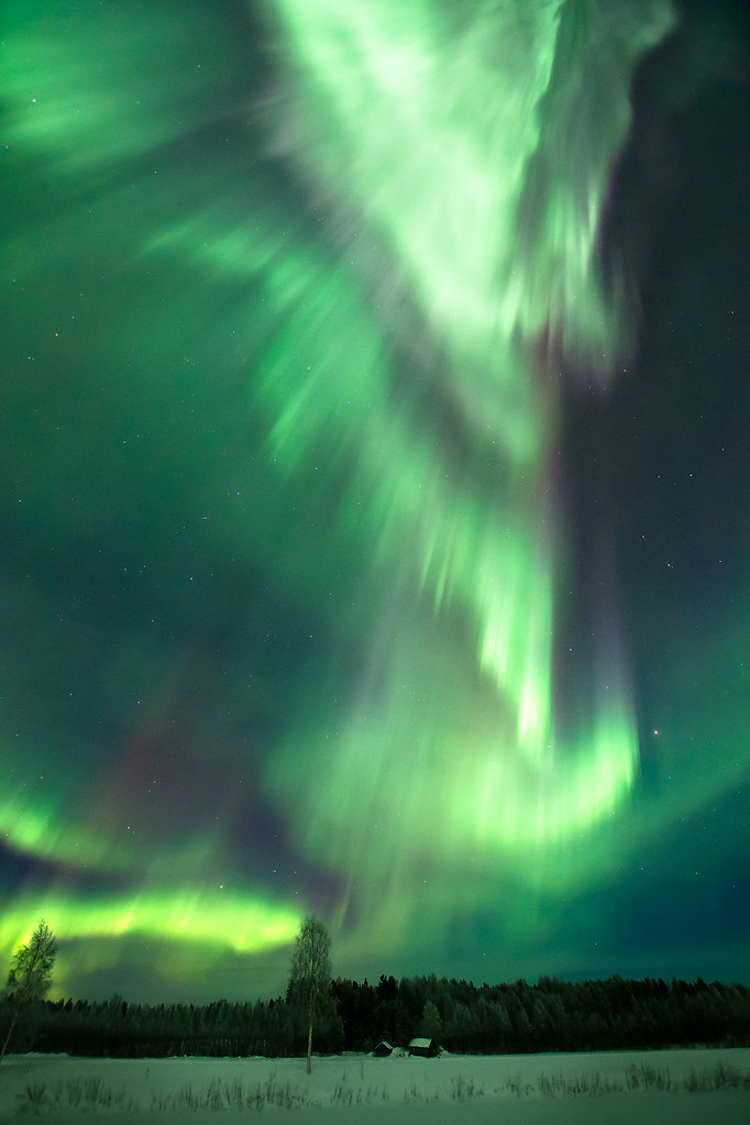
Fox Fire I
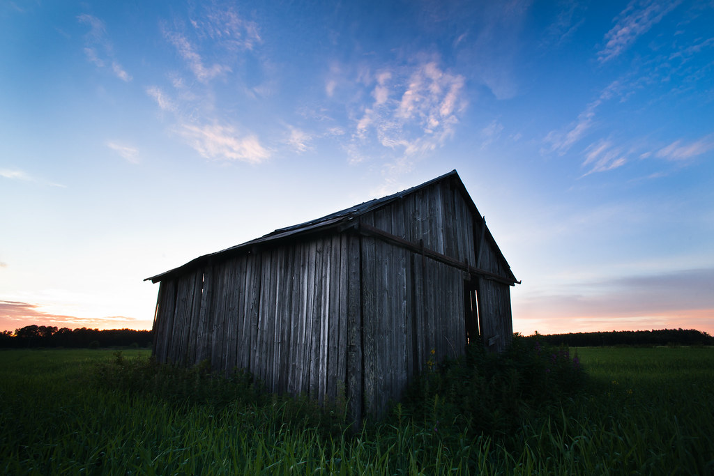
A barn under blue sky
December sunset at 2 pm

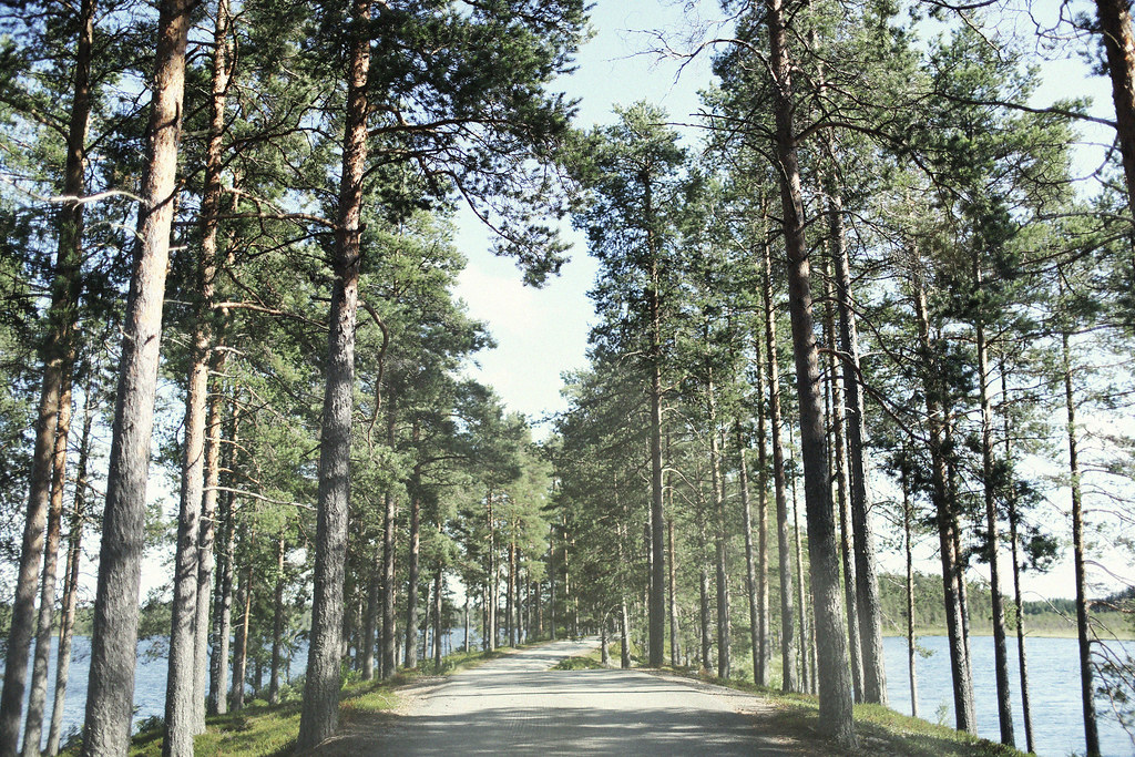
Road to the Sun
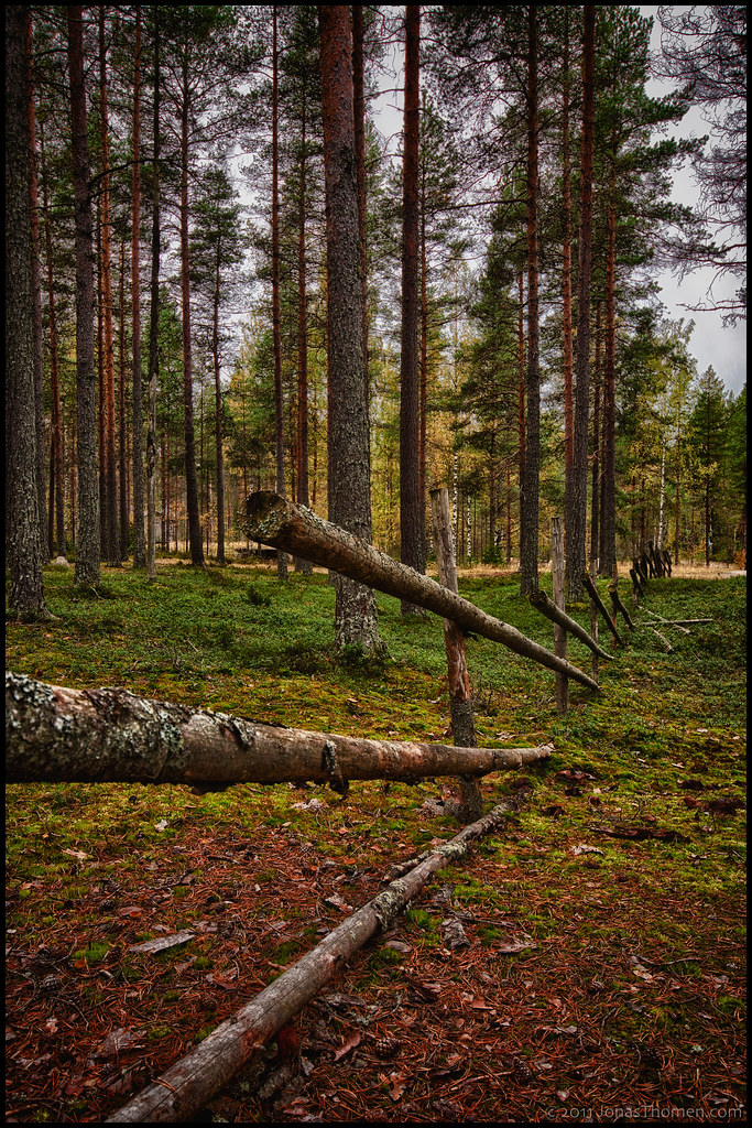
Gärdesgård
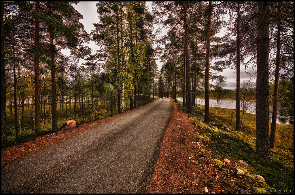
Seljesåsen väg
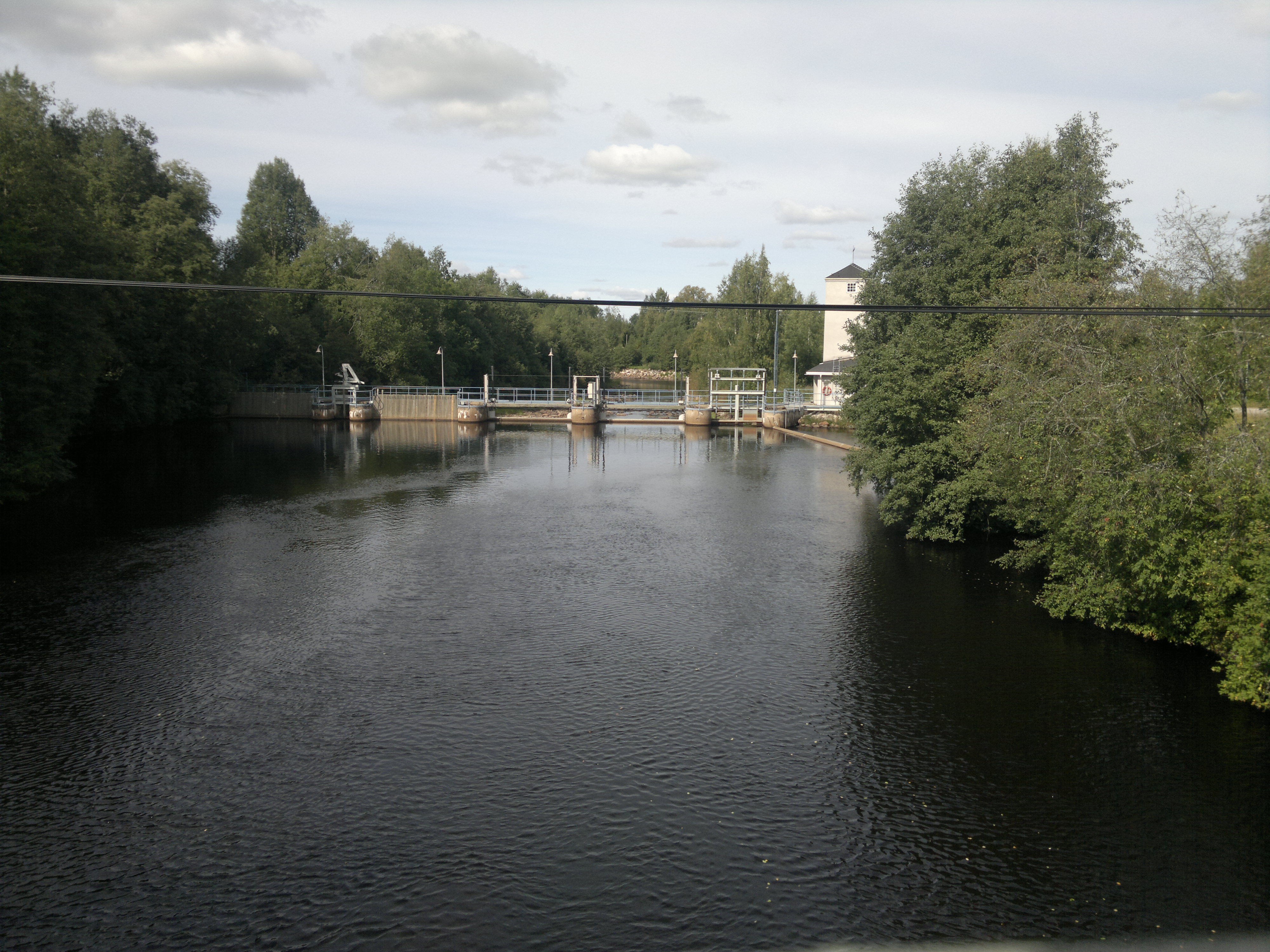
Penttilänkoski
Seljesåsen
Seljes 1

Österbacka

Kesälaitumet
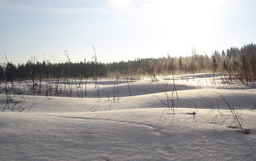
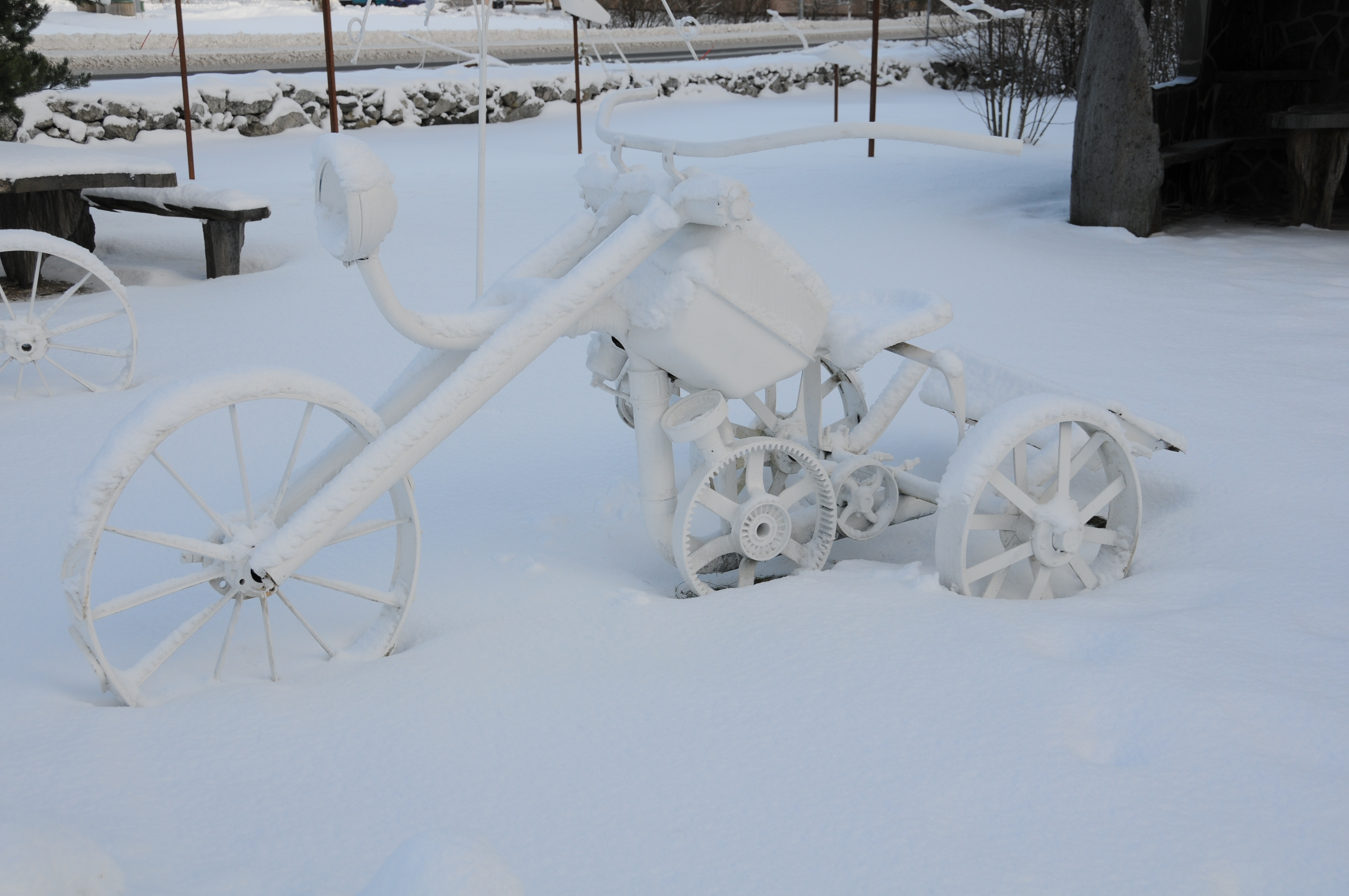
Winter landscape

SM-tarkkuussuunnistus 2014
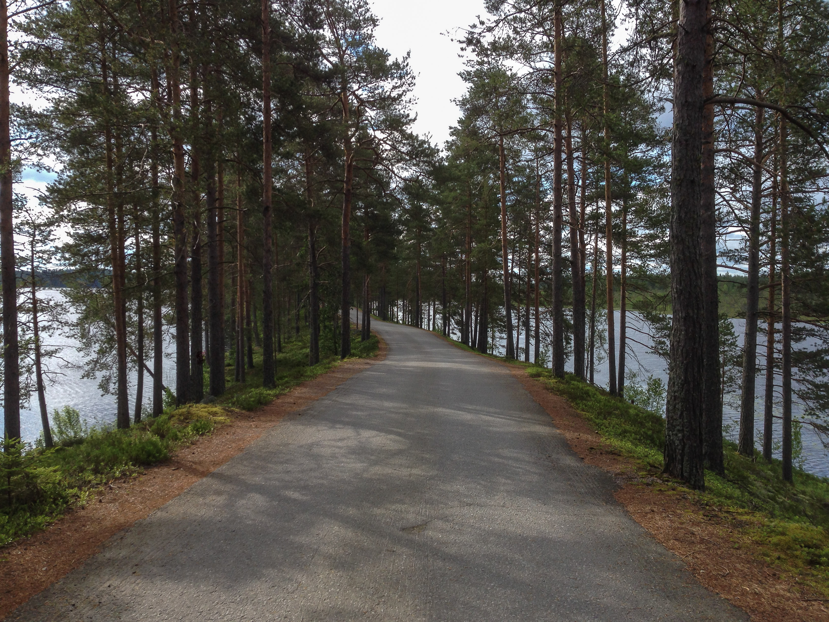
A nice route to area

Lucky Day
Lohjanjärvi. 19.6.2015. #lohjanjärvi #maisema #landscape #lohja #virkkala #visitlohja #visitfinland #samsunggalaxys4active
Topographic Map of Folkparksvägen, Kronoby, Finland
Find elevation by address:

Places near Folkparksvägen, Kronoby, Finland:
Evijärvi
Kauppatie 3, Evijärvi, Finland
Linnusperävägen 76
Linnusperävägen 76
Linnusperä
Kaustari
Pedersöre
Koivistovägen 11
Kokkola
Möllersuddintie 40, Kokkola, Finland
Tapulitie 4, Kauhava, Finland
Kesätie 10, Kokkola, Finland
Maansfolkintie 30, Pedersöre, Finland
Maansfolk
Nordanåvägen, Pedersöre, Finland
Kronoby
Hermelingatan 15, Karleby, Finland
Kokkola
Kokkola
Laajalahdentie, Kruunupyy, Finland
Recent Searches:
- Elevation of Foligno, Province of Perugia, Italy
- Elevation of Blauwestad, Netherlands
- Elevation of Bella Terra Blvd, Estero, FL, USA
- Elevation of Estates Loop, Priest River, ID, USA
- Elevation of Woodland Oak Pl, Thousand Oaks, CA, USA
- Elevation of Brownsdale Rd, Renfrew, PA, USA
- Elevation of Corcoran Ln, Suffolk, VA, USA
- Elevation of Mamala II, Sariaya, Quezon, Philippines
- Elevation of Sarangdanda, Nepal
- Elevation of 7 Waterfall Way, Tomball, TX, USA