Elevation of FM, Trinity, TX, USA
Location: United States > Texas > Trinity County > Trinity >
Longitude: -95.473686
Latitude: 30.9657958
Elevation: 69m / 226feet
Barometric Pressure: 100KPa
Elevation Map:
Satellite Map:
Related Photos:

Bank Terrarium

Steel Tunnel

Old House in East Texas (Front View)
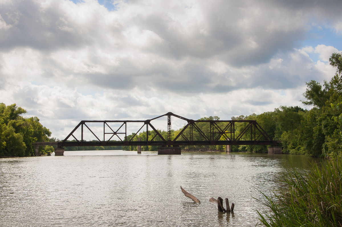
Railroad Swing Bridge

Old Bridge Supports, through Railroad Bridge over Trinity River, Riverside, Texas 1209081559BW

pc 4-19-2012 3-00-002

pc 4-19-2012 3-00-01 PM

pc 4-19-2012 3-00-004

pc 4-19-2012 3-00-005

pc 4-19-2012 3-03-062
Topographic Map of FM, Trinity, TX, USA
Find elevation by address:

Places near FM, Trinity, TX, USA:
389 Fm 230
30 Plantation Rd
West Lakeview Drive
86 Harper Branch Rd
308 Elizabeth St
Trinity
Private Road 7005
385 Parrs Marina Rd
385 Parrs Marina Rd
Lovelady
205 Skains Chapel Rd
680 Fm1280
TX-94, Trinity, TX, USA
FM, Lovelady, TX, USA
Evans Lane
Co Rd 3385 & Co Rd 3390
Co Rd 3385 & Co Rd 3390
Houston County
US-, Lovelady, TX, USA
250 Carl Evans Rd
Recent Searches:
- Elevation of Lampiasi St, Sarasota, FL, USA
- Elevation of Elwyn Dr, Roanoke Rapids, NC, USA
- Elevation of Congressional Dr, Stevensville, MD, USA
- Elevation of Bellview Rd, McLean, VA, USA
- Elevation of Stage Island Rd, Chatham, MA, USA
- Elevation of Shibuya Scramble Crossing, 21 Udagawacho, Shibuya City, Tokyo -, Japan
- Elevation of Jadagoniai, Kaunas District Municipality, Lithuania
- Elevation of Pagonija rock, Kranto 7-oji g. 8"N, Kaunas, Lithuania
- Elevation of Co Rd 87, Jamestown, CO, USA
- Elevation of Tenjo, Cundinamarca, Colombia