Elevation of FM, San Augustine, TX, USA
Location: United States > Texas > Sabine County >
Longitude: -93.917484
Latitude: 31.4778259
Elevation: 140m / 459feet
Barometric Pressure: 100KPa
Elevation Map:
Satellite Map:
Related Photos:
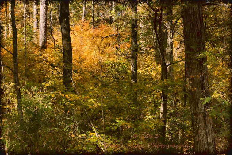
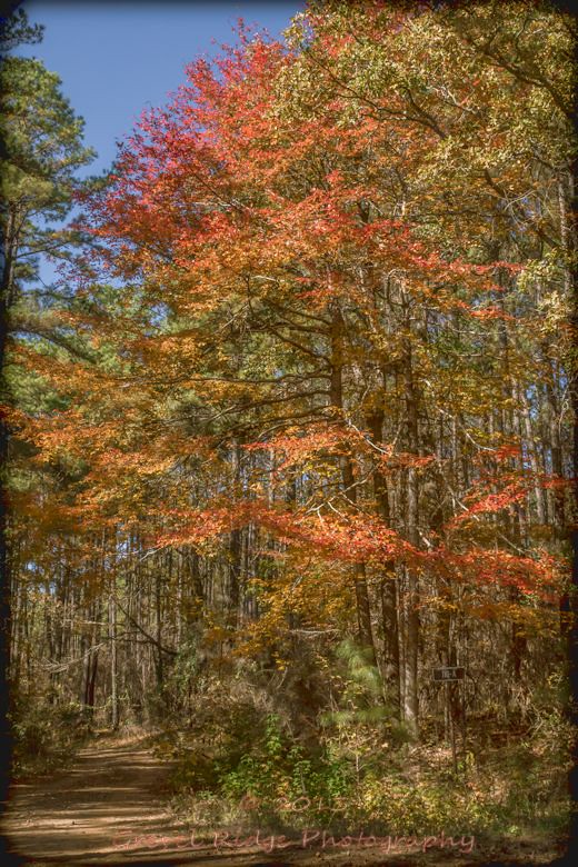
Fire Orange
IMG_7809-4

Day 9: Natchez to Austin

20150503-132406-2
Day 9: Natchez to Austin
Day 9: Natchez to Austin
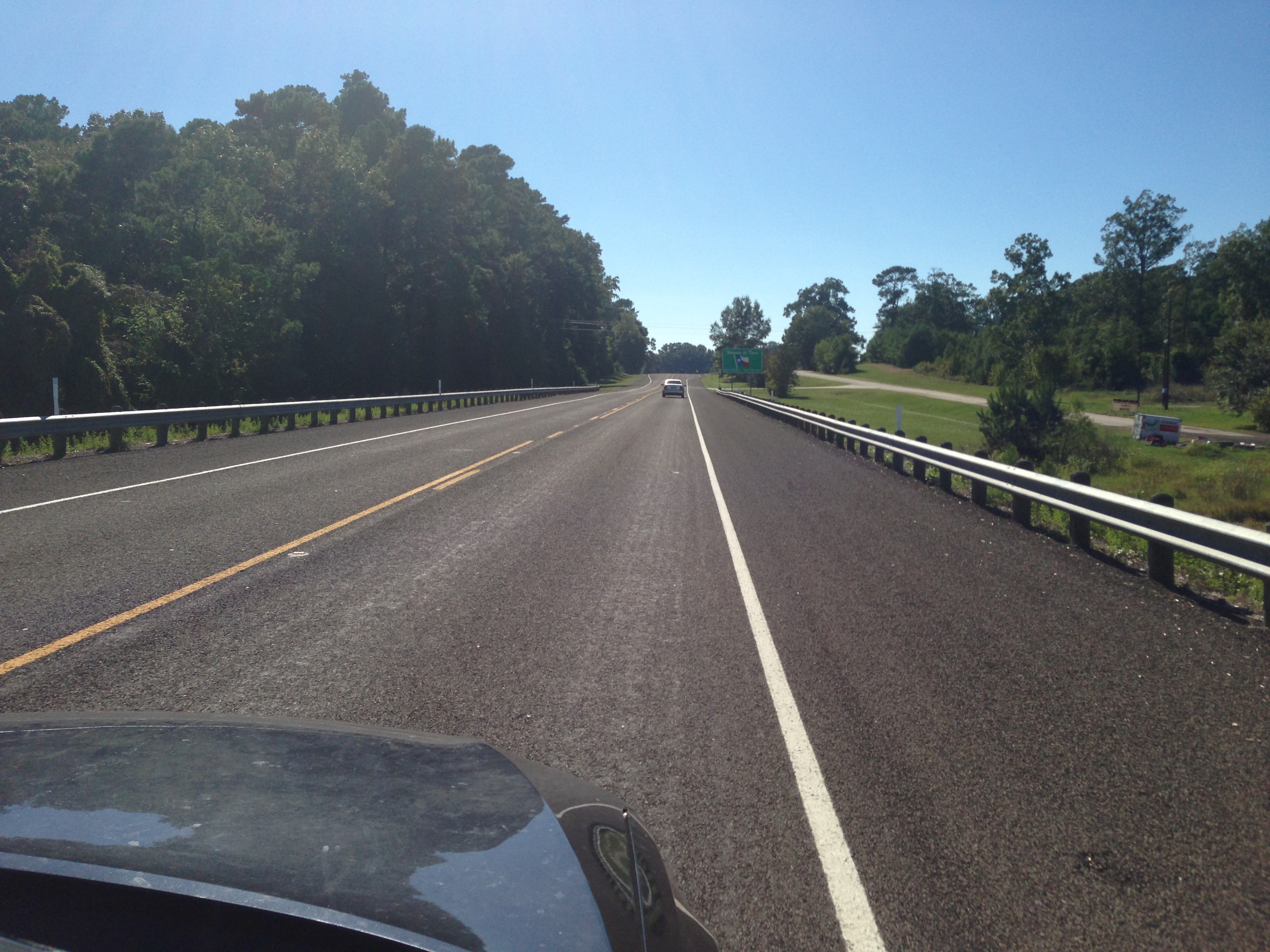
Day 9: Natchez to Austin
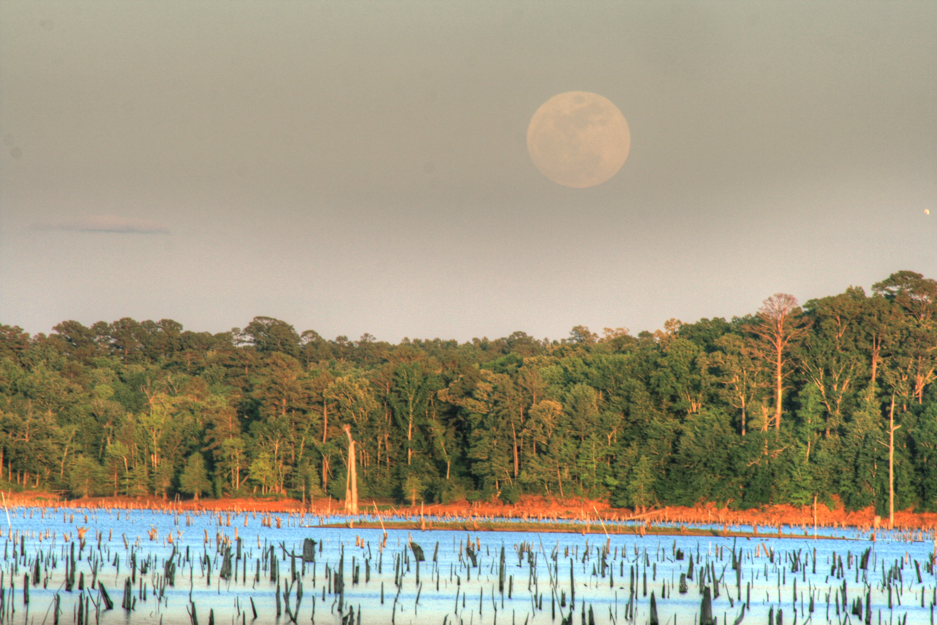
On the Roads of Dirt

This backyard made me literally want to go frolicking.
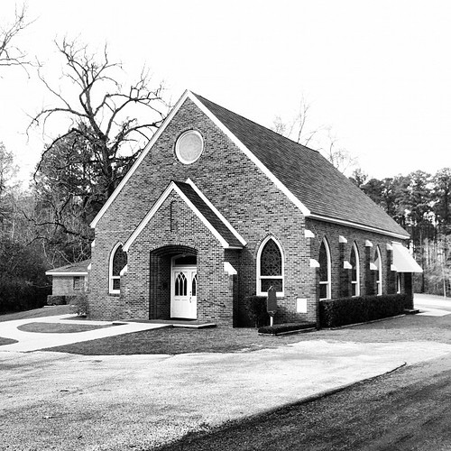
Oldest Methodist congregation in TX.

Oldest Methodist and oldest Protestant church in TX. Organized 1833.

IMG_7818-8

IMG_7862-7

IMG_7859-6

IMG_7878-5

IMG_7796-3

IMG_7748-2

IMG_7745-1
Topographic Map of FM, San Augustine, TX, USA
Find elevation by address:

Places near FM, San Augustine, TX, USA:
280 Geneva Sexton Rd
Milam
FM 1, San Augustine, TX, USA
Patroon St, San Augustine, TX, USA
Hemphill
Bronson
FM, San Augustine, TX, USA
San Augustine
Sabine County
Magasco Rd, Pineland, TX, USA
190 Comanche Dr
1068 Tx-21
6, LA, USA
San Augustine County
TX-, San Augustine, TX, USA
3666 La-482
TX-, Center, TX, USA
30516 La-191
30516 La-191
FM 83, Broaddus, TX, USA
Recent Searches:
- Elevation of Fern Rd, Whitmore, CA, USA
- Elevation of 62 Abbey St, Marshfield, MA, USA
- Elevation of Fernwood, Bradenton, FL, USA
- Elevation of Felindre, Swansea SA5 7LU, UK
- Elevation of Leyte Industrial Development Estate, Isabel, Leyte, Philippines
- Elevation of W Granada St, Tampa, FL, USA
- Elevation of Pykes Down, Ivybridge PL21 0BY, UK
- Elevation of Jalan Senandin, Lutong, Miri, Sarawak, Malaysia
- Elevation of Bilohirs'k
- Elevation of 30 Oak Lawn Dr, Barkhamsted, CT, USA