Elevation of FM, Rockdale, TX, USA
Location: United States > Texas > Milam County > Rockdale >
Longitude: -97.095991
Latitude: 30.7415021
Elevation: 139m / 456feet
Barometric Pressure: 100KPa
Elevation Map:
Satellite Map:
Related Photos:

The view of Wolf Park from the depot museum

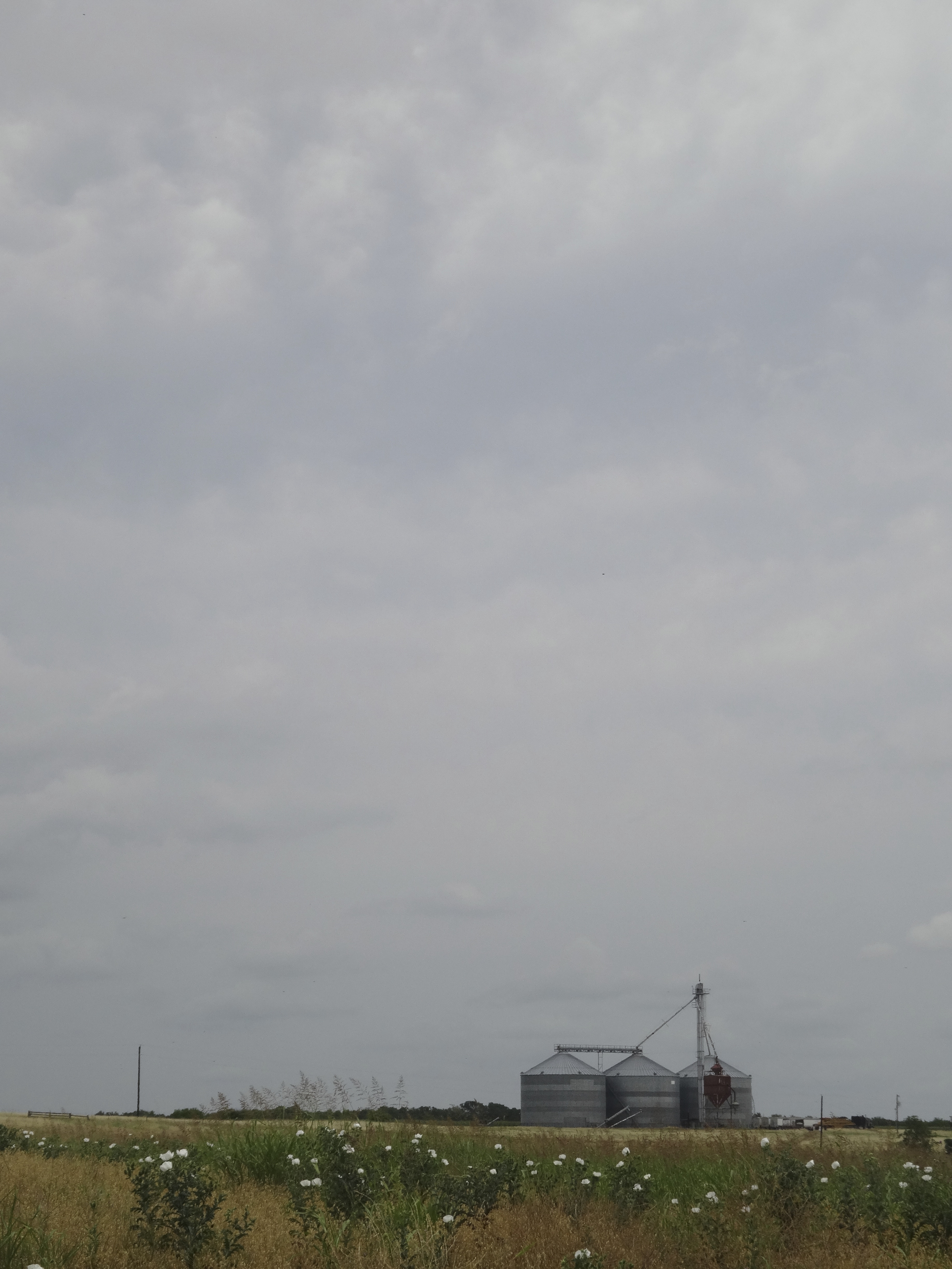
View from Rt 79, east Texas
View from the site
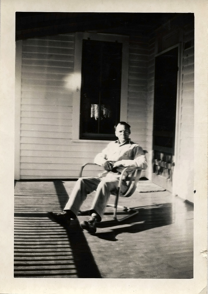
Robert on the porch

Apache Passtures land recon

Apache Passtures land recon

Apache Passtures land recon

Apache Passtures land recon

Trailer Queen

Flipside 2014 - By Lurko's Beard

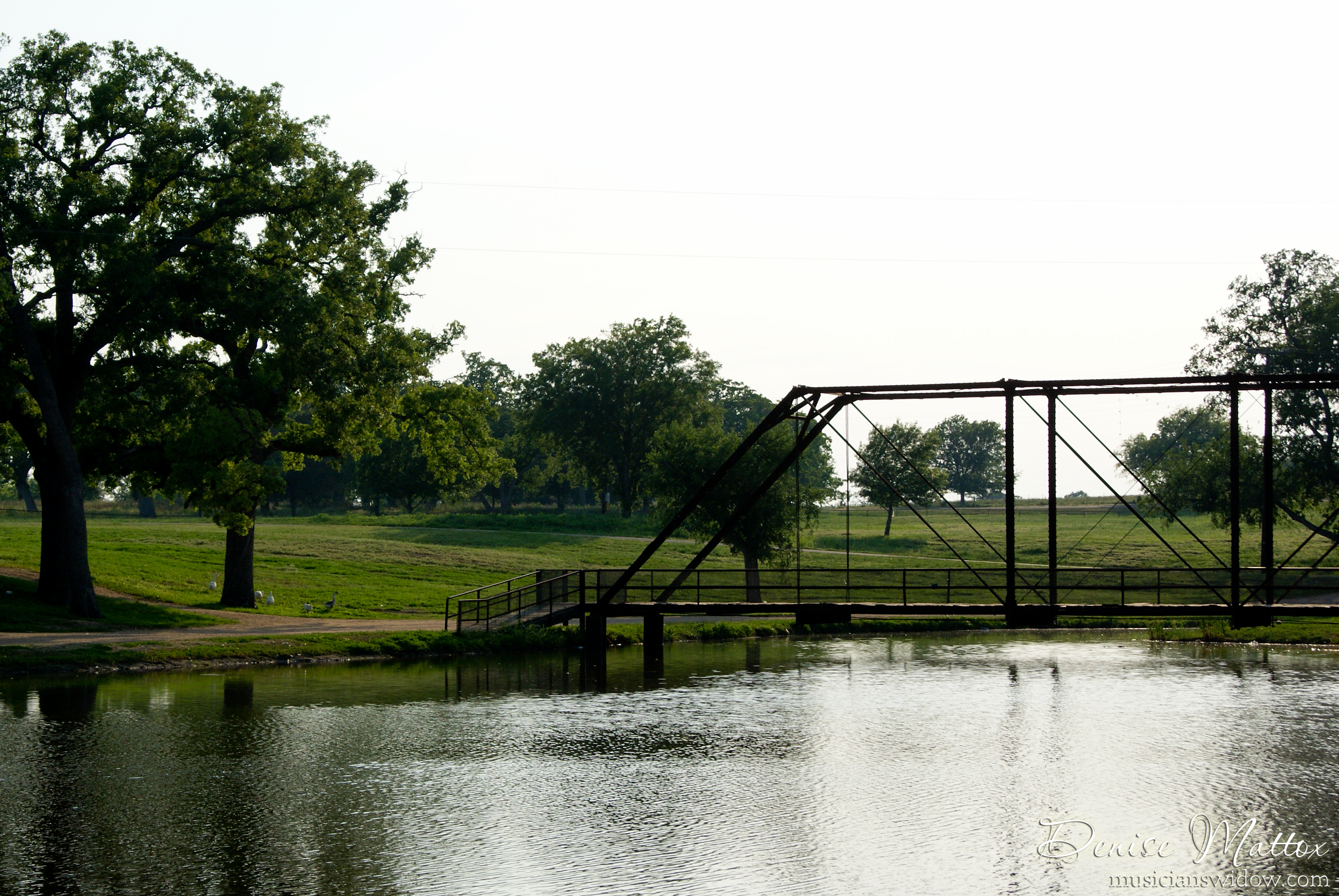
Ledbetter Park

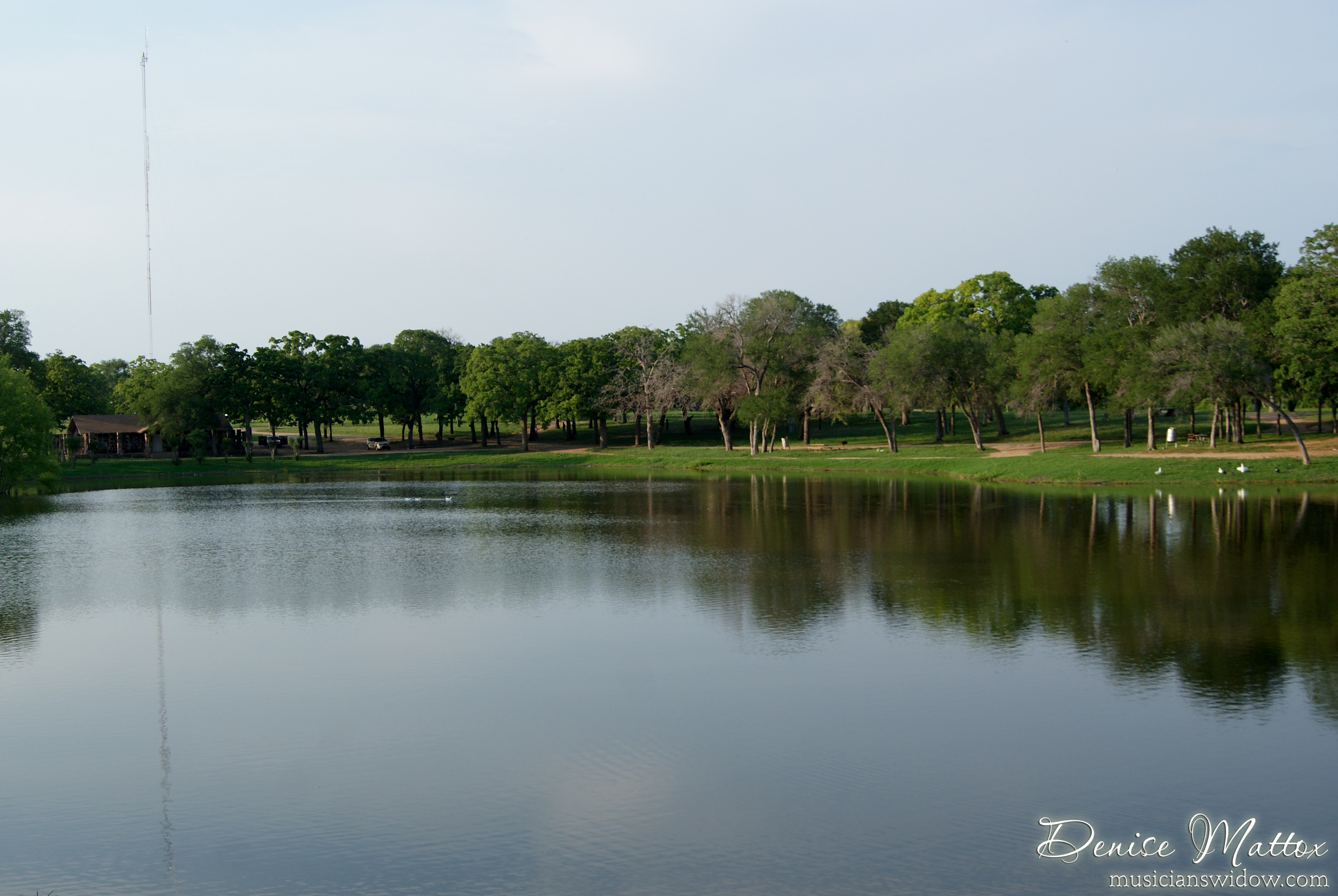
Ledbetter Park

Ledbetter Park

Ledbetter Park
Ledbetter Park
Ledbetter Park
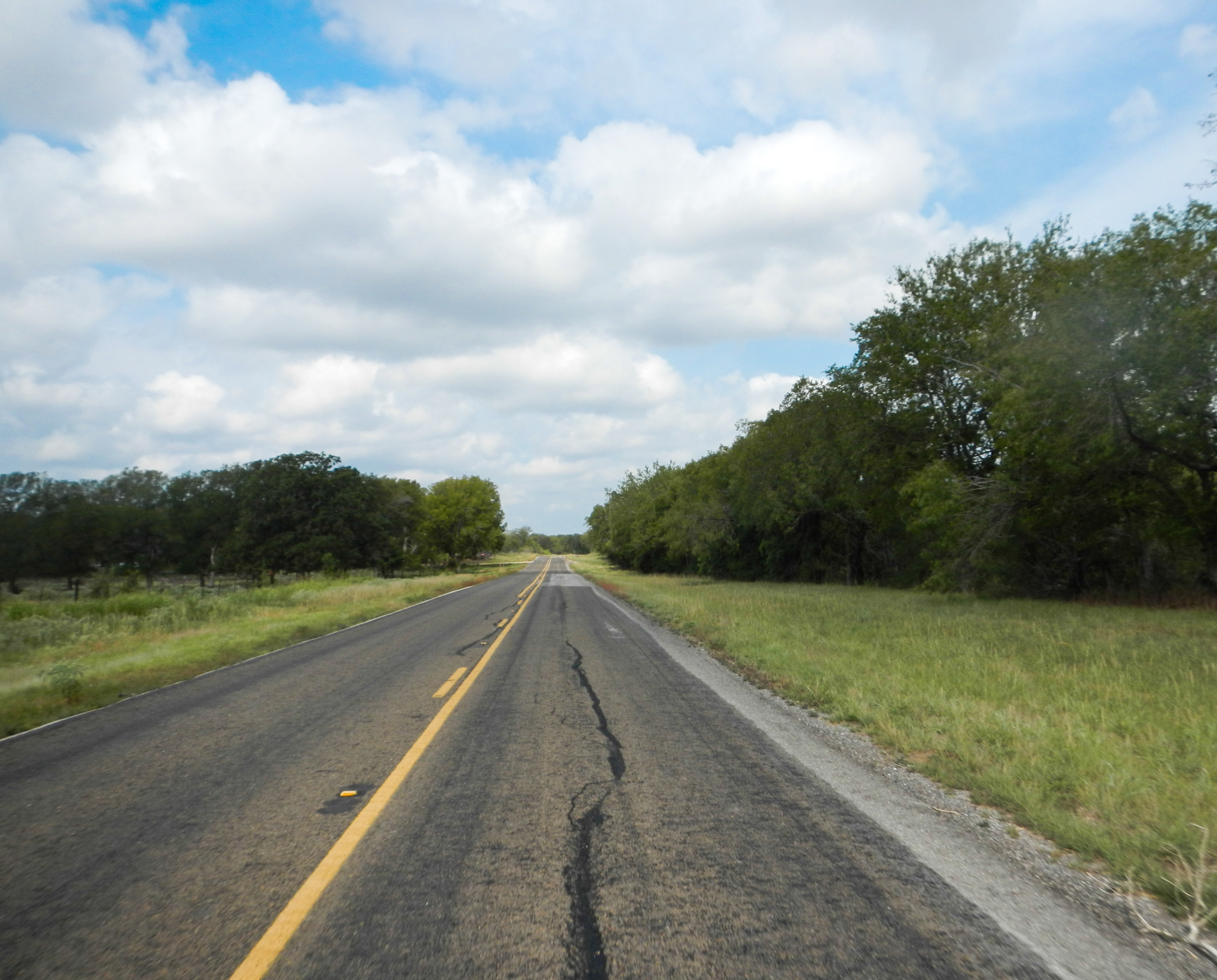
Lonely Road

Ledbetter Park
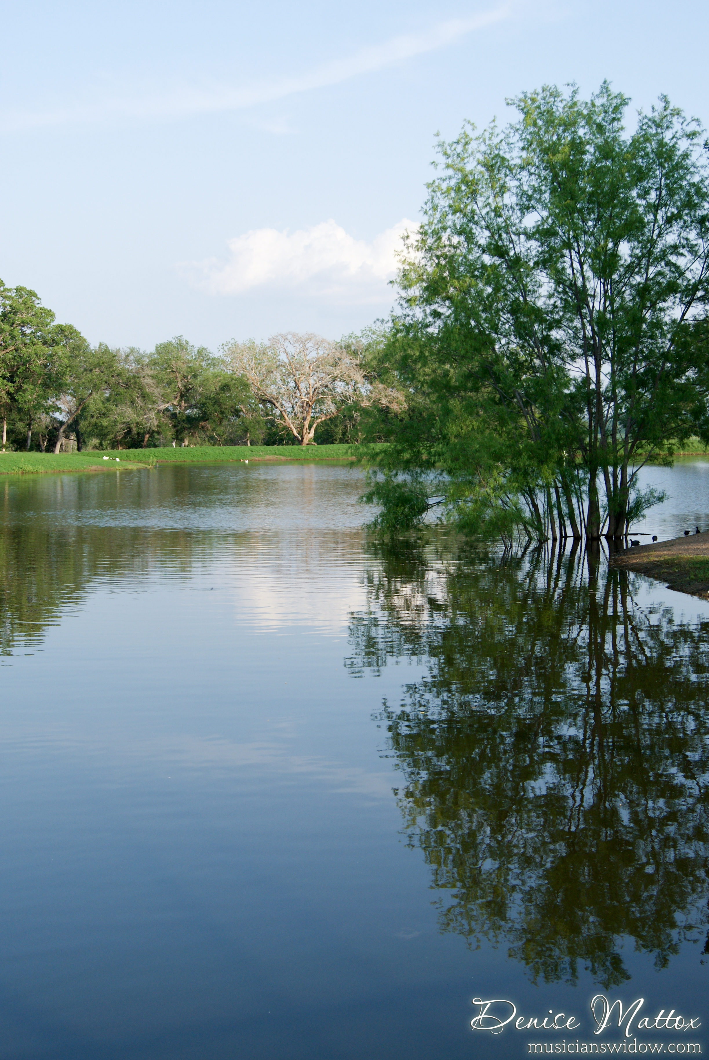
Ledbetter Park
Topographic Map of FM, Rockdale, TX, USA
Find elevation by address:

Places near FM, Rockdale, TX, USA:
FM, Thorndale, TX, USA
16194 Fm487
Farm To Market Road 1915
Buckholts
FM, Buckholts, TX, USA
Thorndale
N Main St, Thorndale, TX, USA
487 Fm486
Sydney Boulevard
First Baptist Church
Val Verde
Co Rd, Taylor, TX, USA
FM, Thorndale, TX, USA
Granger Dam Rd, Granger, TX, USA
Rogers
Mesquite Ave, Rogers, TX, USA
19999 Fm 2268
Thrall
S Bounds St, Thrall, TX, USA
Donahoe Rd, Bartlett, TX, USA
Recent Searches:
- Elevation of Rojo Ct, Atascadero, CA, USA
- Elevation of Flagstaff Drive, Flagstaff Dr, North Carolina, USA
- Elevation of Avery Ln, Lakeland, FL, USA
- Elevation of Woolwine, VA, USA
- Elevation of Lumagwas Diversified Farmers Multi-Purpose Cooperative, Lumagwas, Adtuyon, RV32+MH7, Pangantucan, Bukidnon, Philippines
- Elevation of Homestead Ridge, New Braunfels, TX, USA
- Elevation of Orchard Road, Orchard Rd, Marlborough, NY, USA
- Elevation of 12 Hutchinson Woods Dr, Fletcher, NC, USA
- Elevation of Holloway Ave, San Francisco, CA, USA
- Elevation of Norfolk, NY, USA