Elevation of FM, Nome, TX, USA
Location: United States > Texas > Jefferson County > Nome >
Longitude: -94.431014
Latitude: 30.0211711
Elevation: 14m / 46feet
Barometric Pressure: 101KPa
Elevation Map:
Satellite Map:
Related Photos:

Chevrolet 6400

Door to the Past

The Wheels of Time

Open Door to the Past
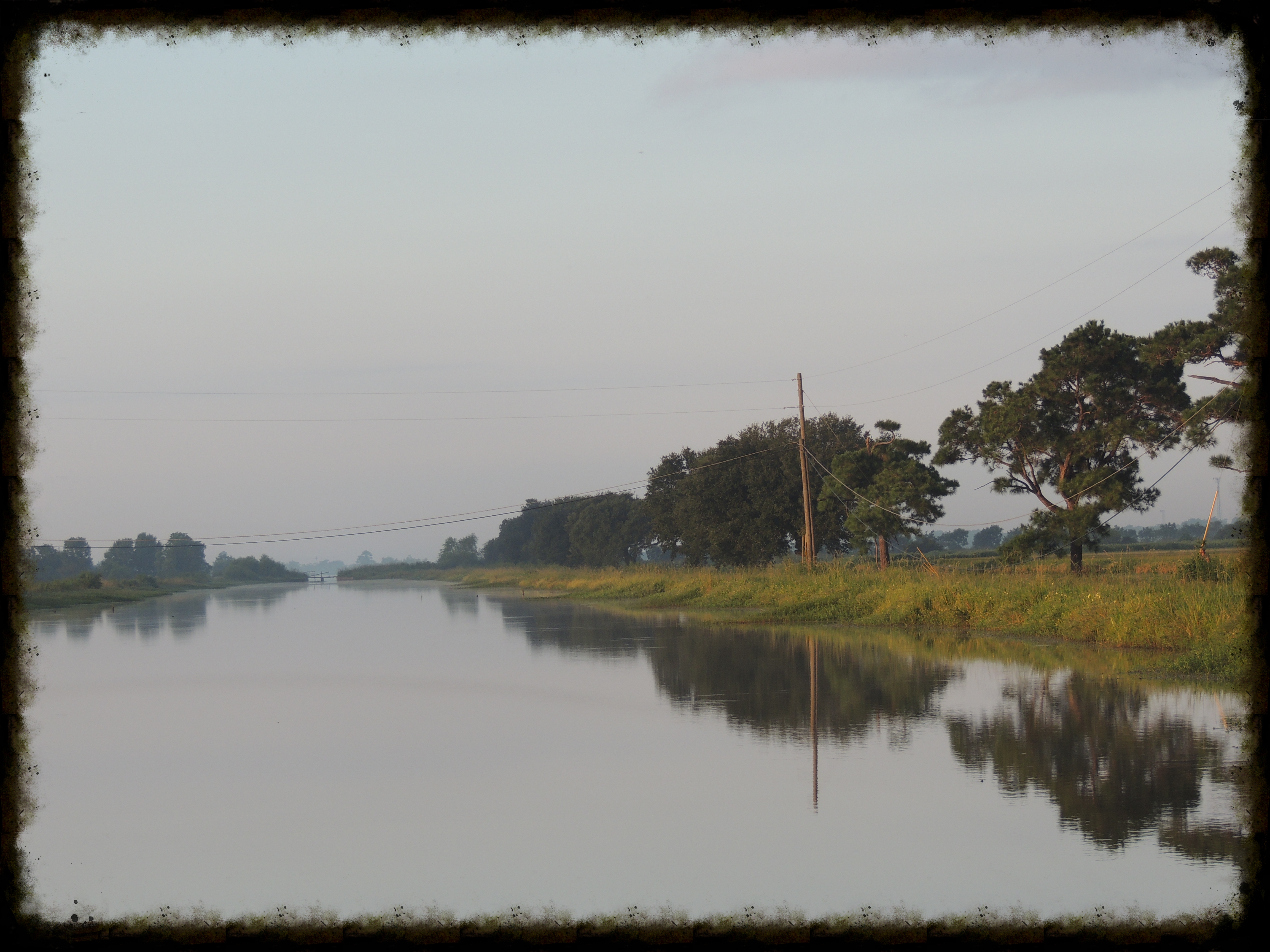
Rice Irrigation Canal

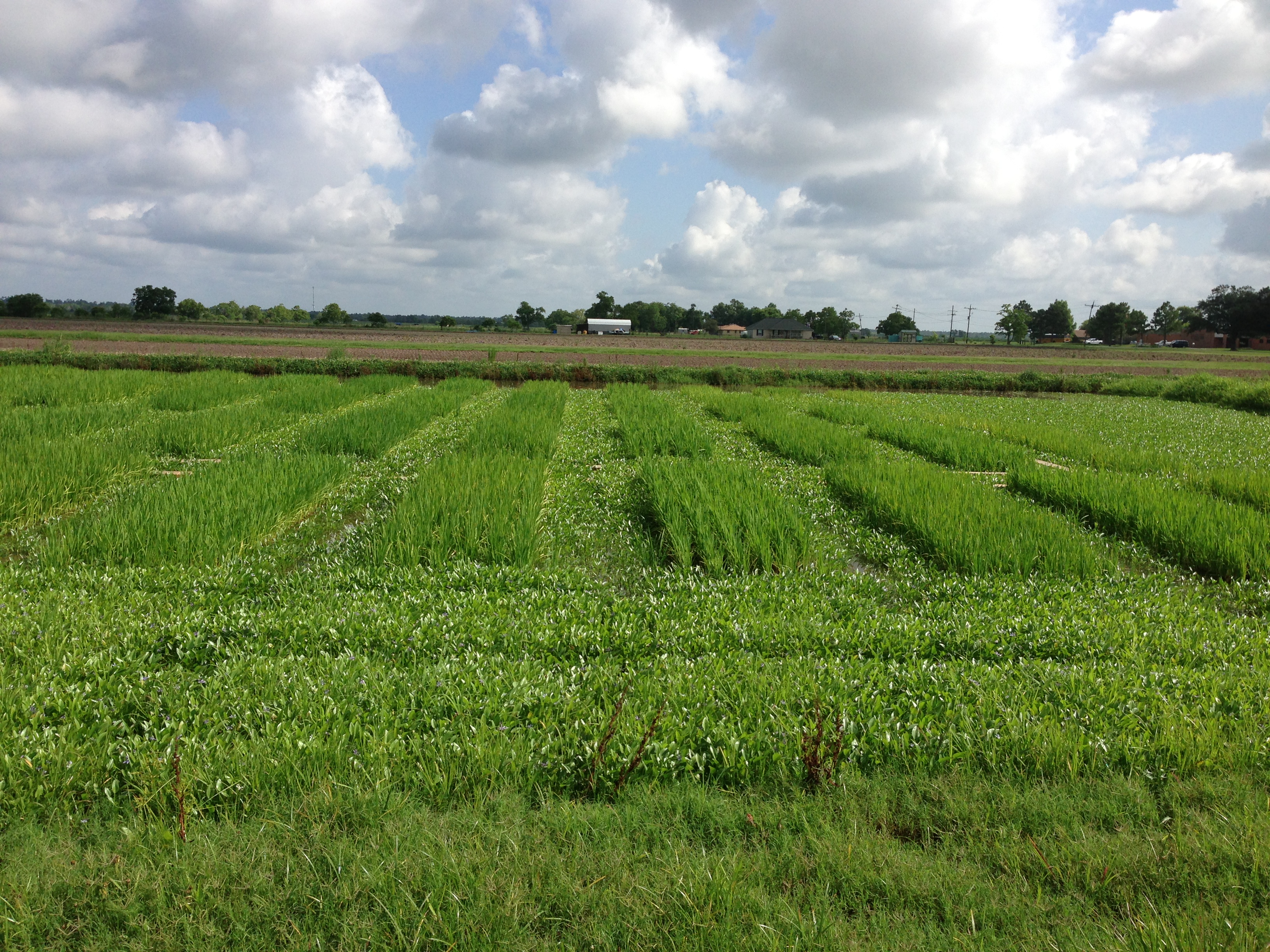
Morning Mist Over a South Texas Rice Field
EMBHLU3 009

20121006-DSC04069

EMBHLU3 003

EMBHLU3 026

EMBHLU3 027
2016:08:28 17:49:29 Flickr-346

EMBHLU3 010
Topographic Map of FM, Nome, TX, USA
Find elevation by address:

Places near FM, Nome, TX, USA:
Nome
North St, Beaumont, TX, USA
Wagley Road
1650 Kotz Rd
4141 Thompson Rd
1301 Broadway
Devers, TX, USA
26810 Fm 365
26810 Fm 365
2440 Turner Rd
FM, Devers, TX, USA
795 Co Rd 105
League Road
13201 S Fork Dr
13205 S Fork Dr
Woodland Drive
11195 Cole Dr
11235 Cole Dr
10952 Sandy Ln
11332 Sandy Ln
Recent Searches:
- Elevation of Hercules Dr, Colorado Springs, CO, USA
- Elevation of Szlak pieszy czarny, Poland
- Elevation of Griffing Blvd, Biscayne Park, FL, USA
- Elevation of Kreuzburger Weg 13, Düsseldorf, Germany
- Elevation of Gateway Blvd SE, Canton, OH, USA
- Elevation of East W.T. Harris Boulevard, E W.T. Harris Blvd, Charlotte, NC, USA
- Elevation of West Sugar Creek, Charlotte, NC, USA
- Elevation of Wayland, NY, USA
- Elevation of Steadfast Ct, Daphne, AL, USA
- Elevation of Lagasgasan, X+CQH, Tiaong, Quezon, Philippines