Elevation of FM, Lenorah, TX, USA
Location: United States > Texas > Martin County > Lenorah >
Longitude: -101.93038
Latitude: 32.3075854
Elevation: 864m / 2835feet
Barometric Pressure: 91KPa
Elevation Map:
Satellite Map:
Related Photos:

First Come, First Served
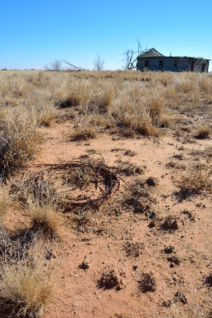
Coil of barbed wire and the homestead
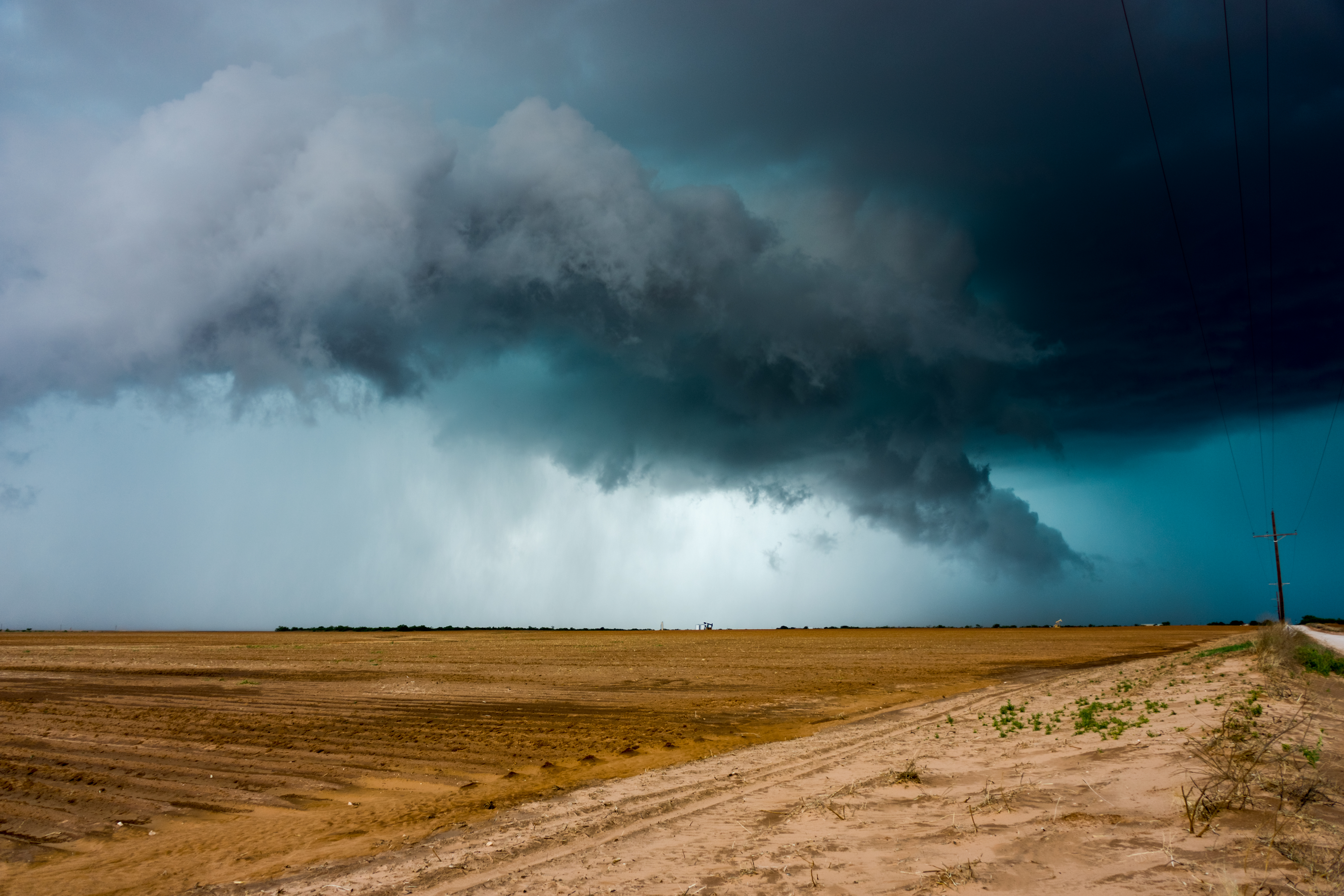
Big Spring, TX Supercell
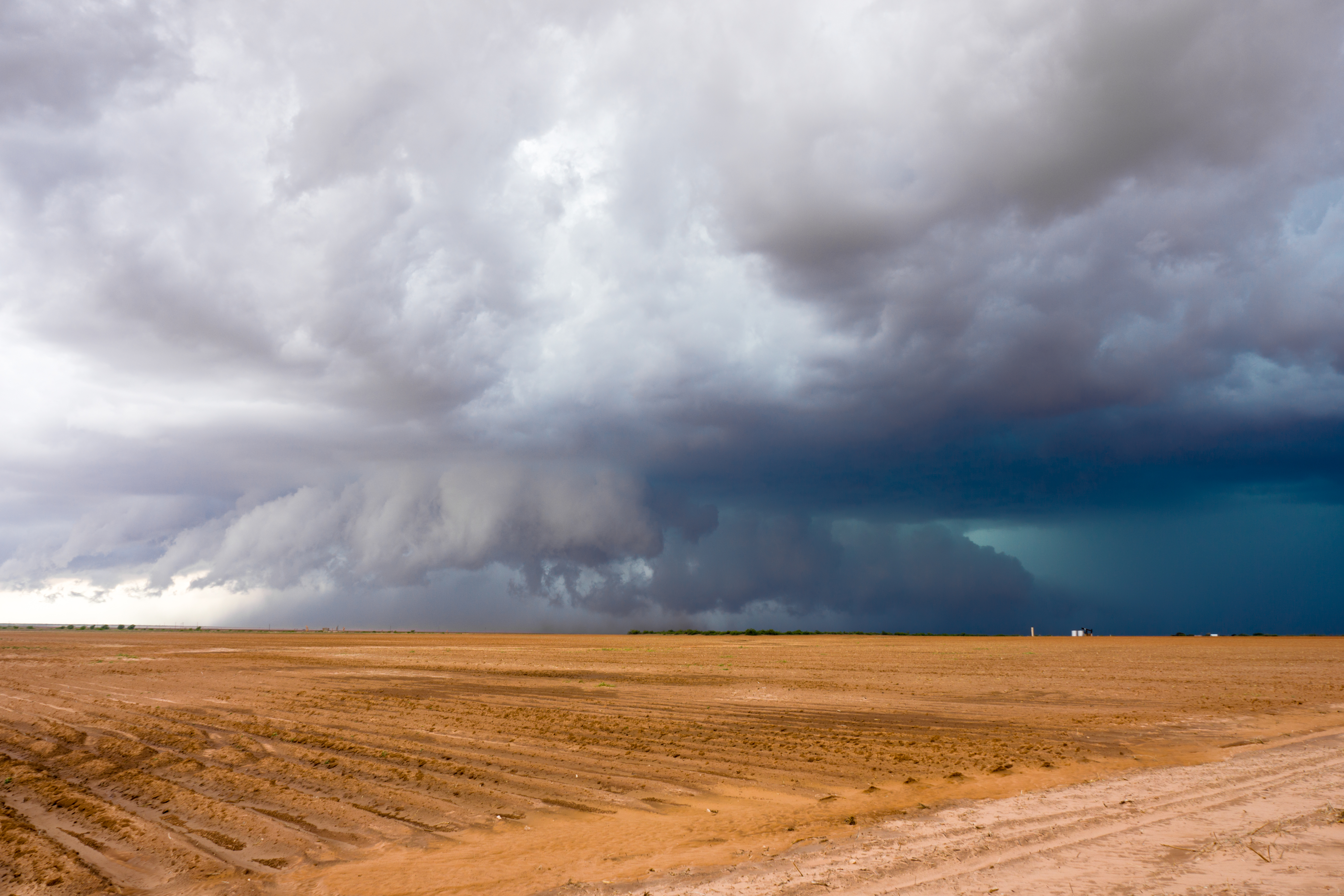
Big Spring, TX Supercell
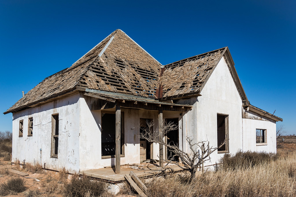
White house #1
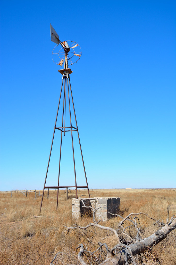
Tarzan windmill

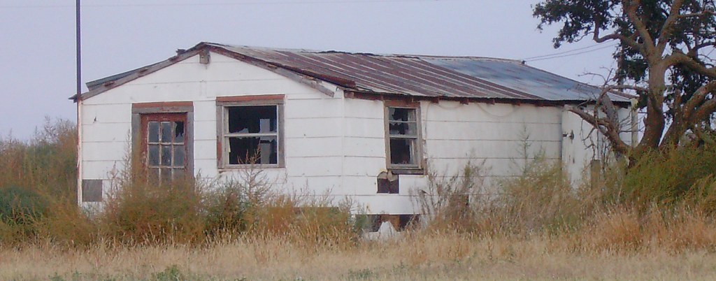
Homested outsides Tarzan, Texas
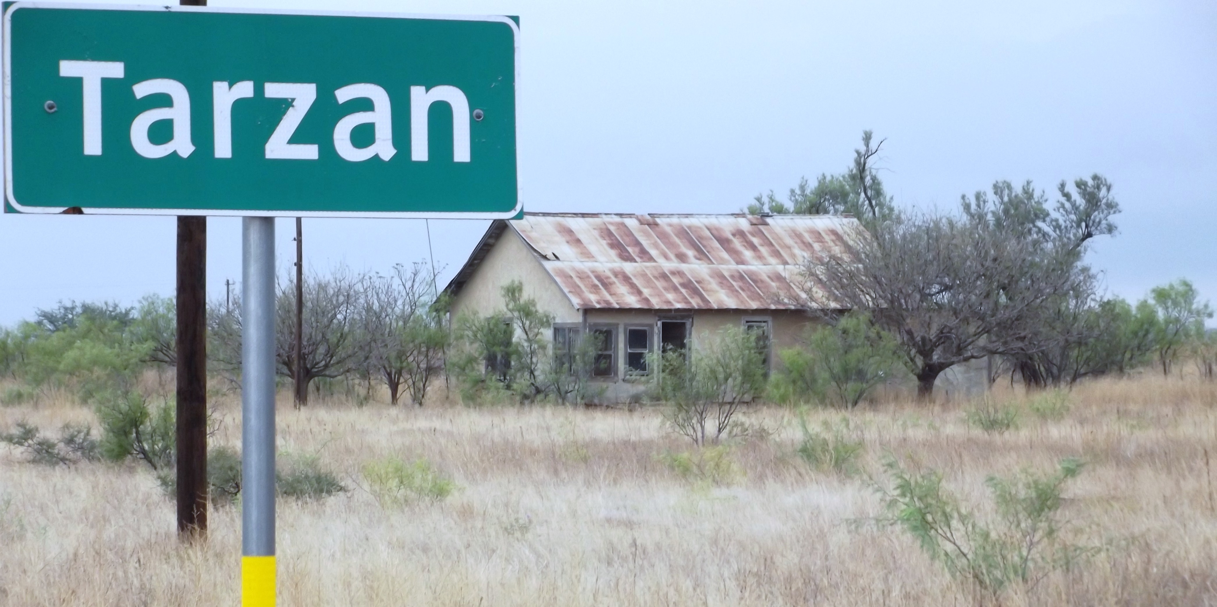
Tarzan sign
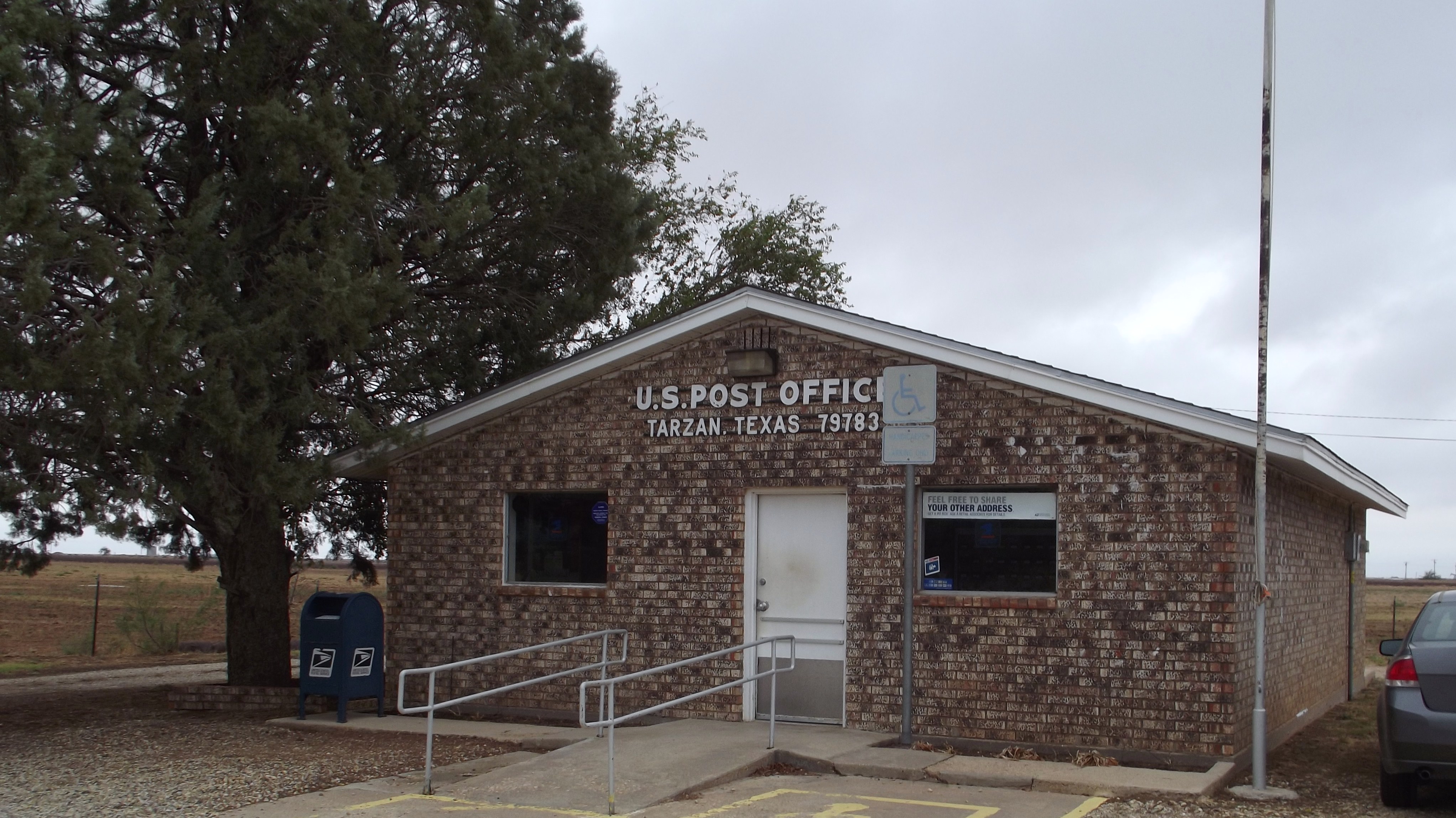
Tarzan Post Office

Flying High
Old Post Office 79749 (Lenorah, Texas)
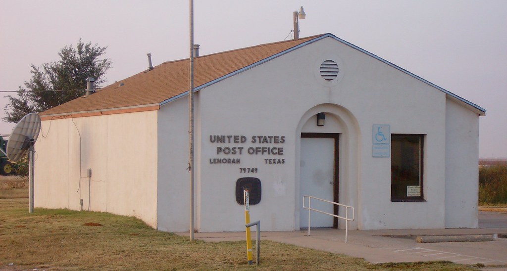
Post Office 79749 (Lenorah, Texas)

Listening to some Led Zeppelin in the middle of nowhere

Here is a place where probably no one is right now
Topographic Map of FM, Lenorah, TX, USA
Find elevation by address:

Places near FM, Lenorah, TX, USA:
Tarzan
Lenorah
Martin County
I-20 Frontage Rd, Midland, TX, USA
Stanton
North County Road 1150
N State Highway, Midland, TX, USA
Midland, TX, USA
Midland Country Club Estates
Charismatic Dr, Midland, TX, USA
1301 Magnolia Ave
Community Worship Center
Wolfcamp Cir, Midland, TX, USA
1 Walden Galleria, Midland, TX, USA
2111 N H St
2109 N H St
Northwest Acres
2100 N H St
2000 N H St
2300 Terrace Ave
Recent Searches:
- Elevation of Hercules Dr, Colorado Springs, CO, USA
- Elevation of Szlak pieszy czarny, Poland
- Elevation of Griffing Blvd, Biscayne Park, FL, USA
- Elevation of Kreuzburger Weg 13, Düsseldorf, Germany
- Elevation of Gateway Blvd SE, Canton, OH, USA
- Elevation of East W.T. Harris Boulevard, E W.T. Harris Blvd, Charlotte, NC, USA
- Elevation of West Sugar Creek, Charlotte, NC, USA
- Elevation of Wayland, NY, USA
- Elevation of Steadfast Ct, Daphne, AL, USA
- Elevation of Lagasgasan, X+CQH, Tiaong, Quezon, Philippines