Elevation of FM, Hawkins, TX, USA
Location: United States > Texas > Wood County > Hawkins >
Longitude: -95.274232
Latitude: 32.6309958
Elevation: 147m / 482feet
Barometric Pressure: 100KPa
Elevation Map:
Satellite Map:
Related Photos:

Hawkins-16440-2

Bench With A View IMG_5489PS

Pam enjoying the view

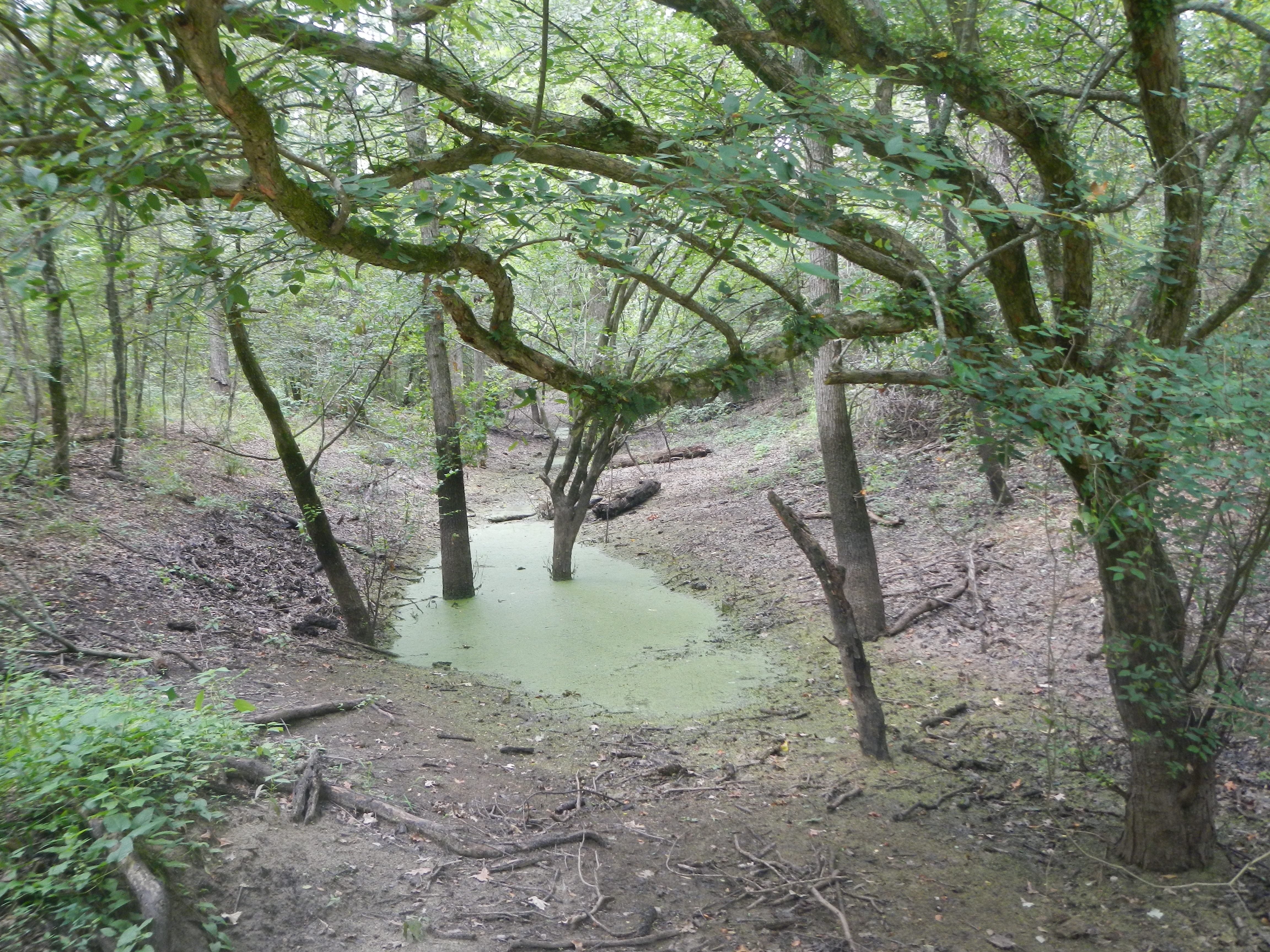
Sabine River

DSCN1623.JPG

DSCN1605.JPG

Reflective IMG_5317HDR

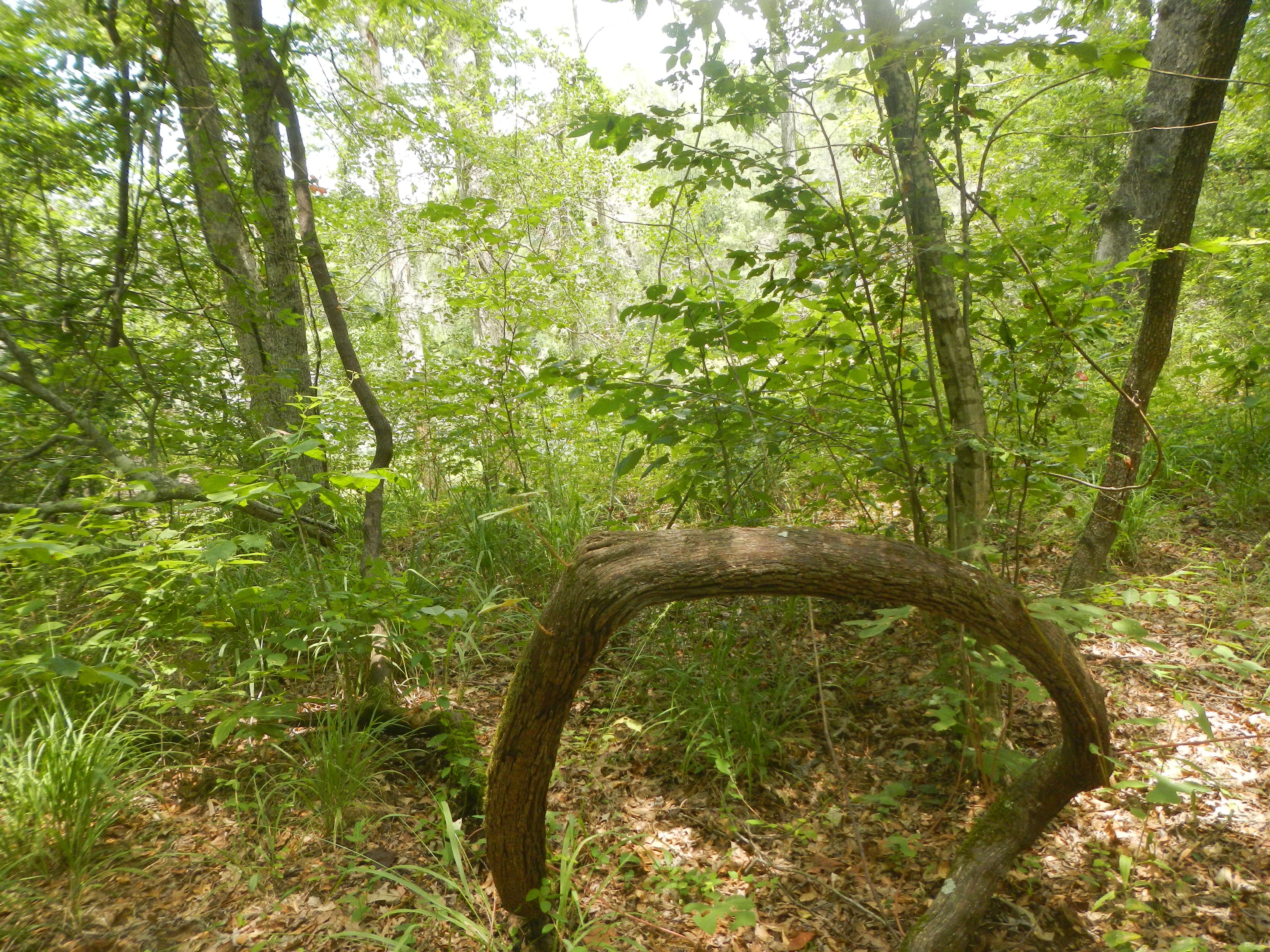
Rusting Rig

DSCN0991.JPG

DSCN1701.JPG
DSCN2063.JPG

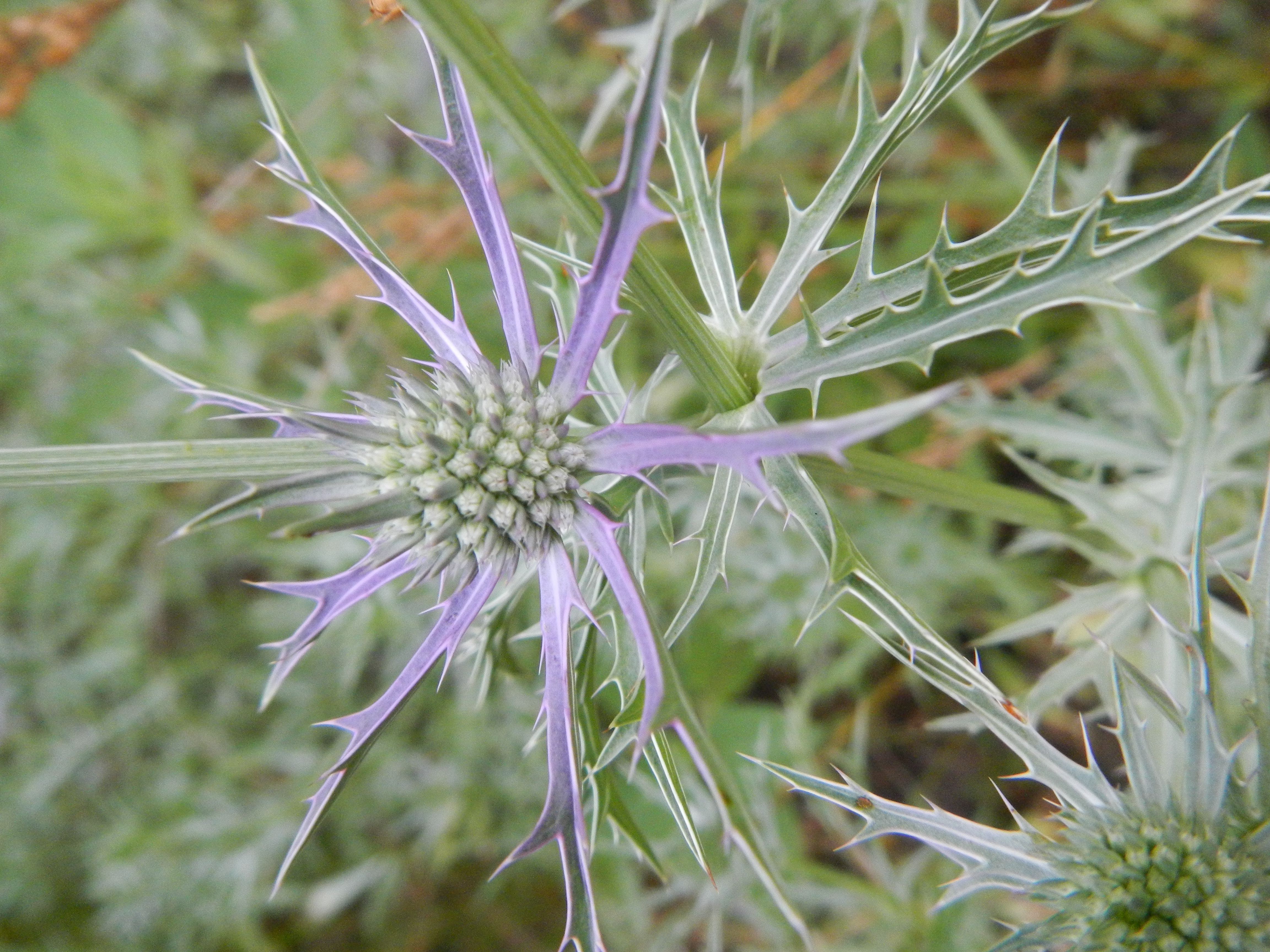
Kip studies wildflowers of Texas
DSCN2888.JPG
DSCN2844.JPG
Topographic Map of FM, Hawkins, TX, USA
Find elevation by address:

Places near FM, Hawkins, TX, USA:
US-80, Hawkins, TX, USA
Hawkins
Holly Lake Ranch
FM 49, Mineola, TX, USA
656 Green Meadow Trail
13334 Old Dallas-shreveport Rd
110 Mulberry Cove
146 Mulberry Cove
128 Mulberry Cove
326 Co Rd 2754
2235 Fm 49
FM, Winnsboro, TX, USA
Big Sandy
2499 Red Maple Rd
E Hubbard St, Lindale, TX, USA
Lindale
15936 Brittain Ct
9644 Fm 49
Wood County
12201 Wild Horse
Recent Searches:
- Elevation of Corso Fratelli Cairoli, 35, Macerata MC, Italy
- Elevation of Tallevast Rd, Sarasota, FL, USA
- Elevation of 4th St E, Sonoma, CA, USA
- Elevation of Black Hollow Rd, Pennsdale, PA, USA
- Elevation of Oakland Ave, Williamsport, PA, USA
- Elevation of Pedrógão Grande, Portugal
- Elevation of Klee Dr, Martinsburg, WV, USA
- Elevation of Via Roma, Pieranica CR, Italy
- Elevation of Tavkvetili Mountain, Georgia
- Elevation of Hartfords Bluff Cir, Mt Pleasant, SC, USA