Elevation of FM, Fayetteville, TX, USA
Location: United States > Texas > Fayette County > Fayetteville >
Longitude: -96.672638
Latitude: 29.905515
Elevation: 121m / 397feet
Barometric Pressure: 100KPa
Elevation Map:
Satellite Map:
Related Photos:
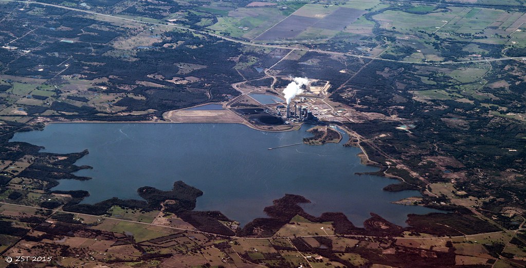
Fayette Power Project
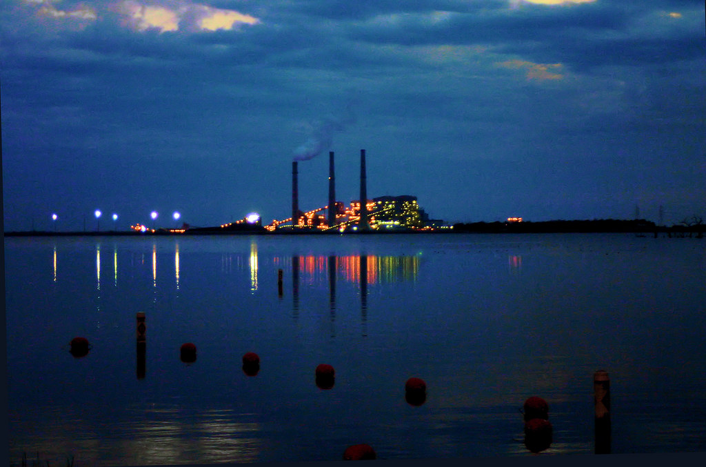
Power Plant at Night

AJS trials bike
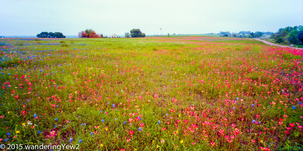
AustinCountyWildflowersPanoramic2015-687
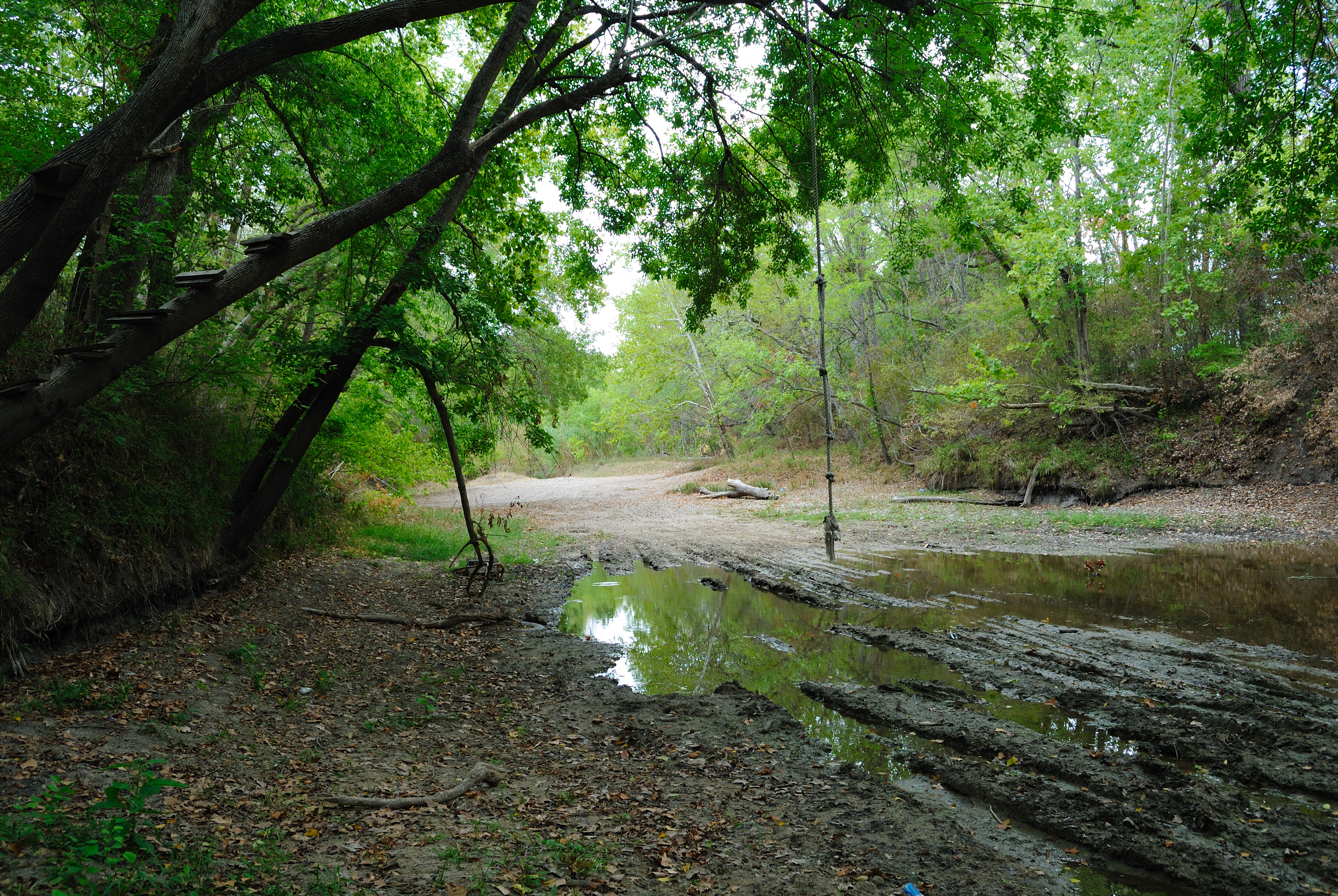
Secates Road Crossing, Fayetteville, Texas 1008111326
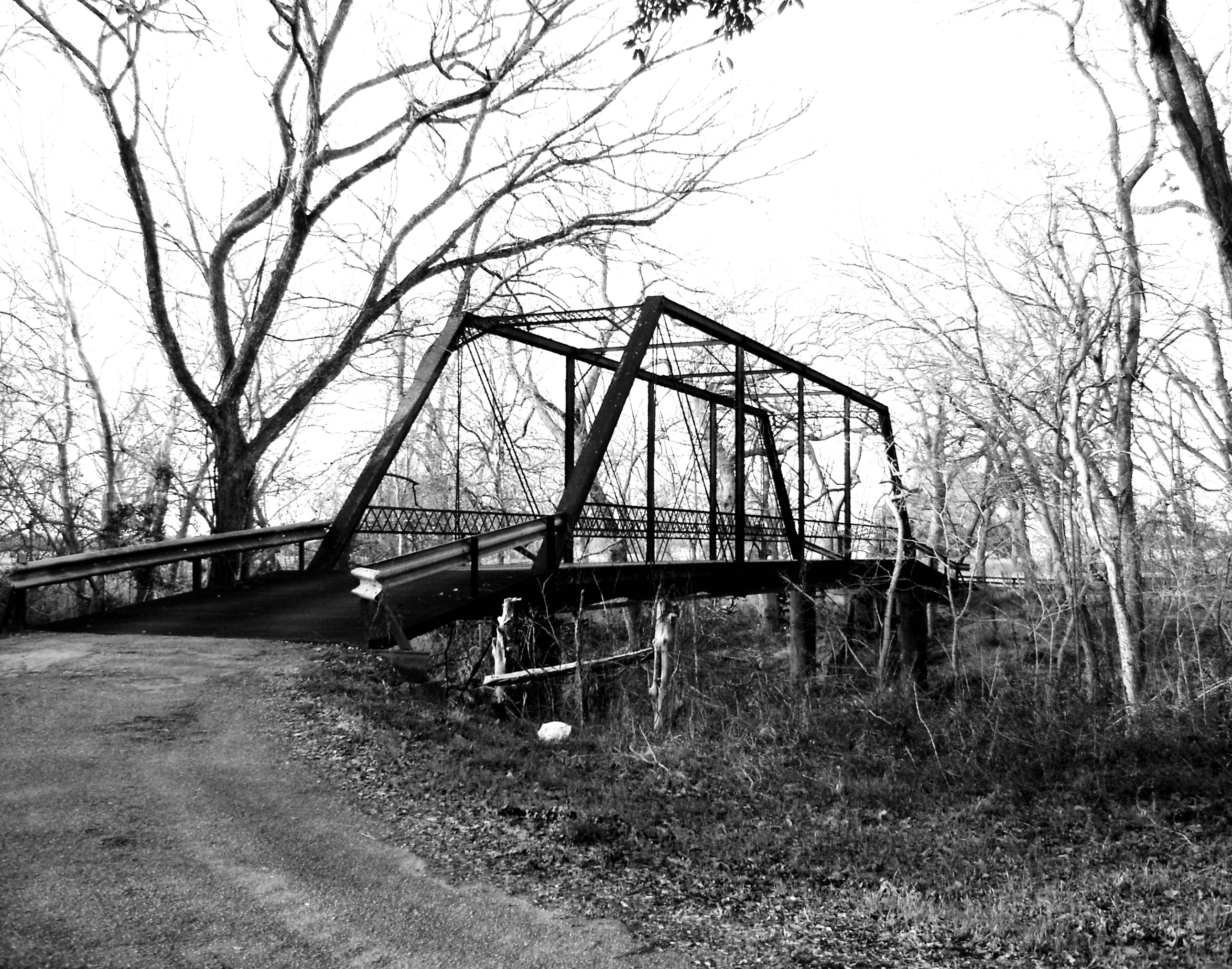
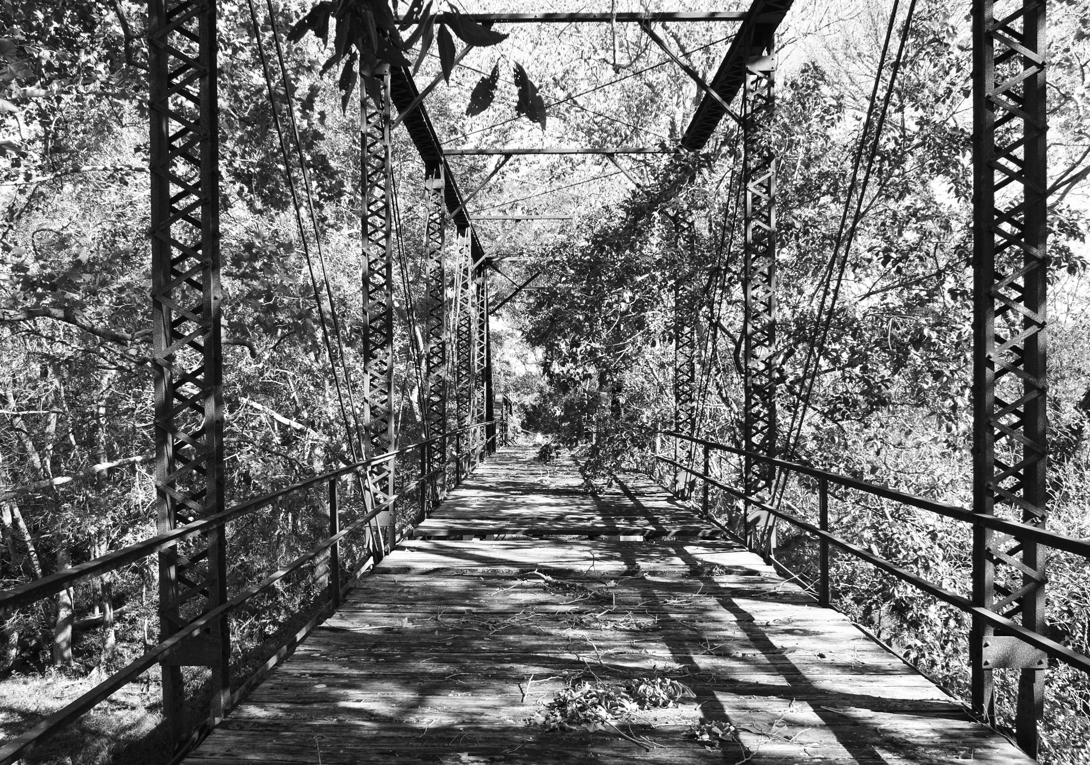
Willow Springs Road Bridge over Cummins Creek, Fayette County, Texas 0130101656BW

Vincent HRD
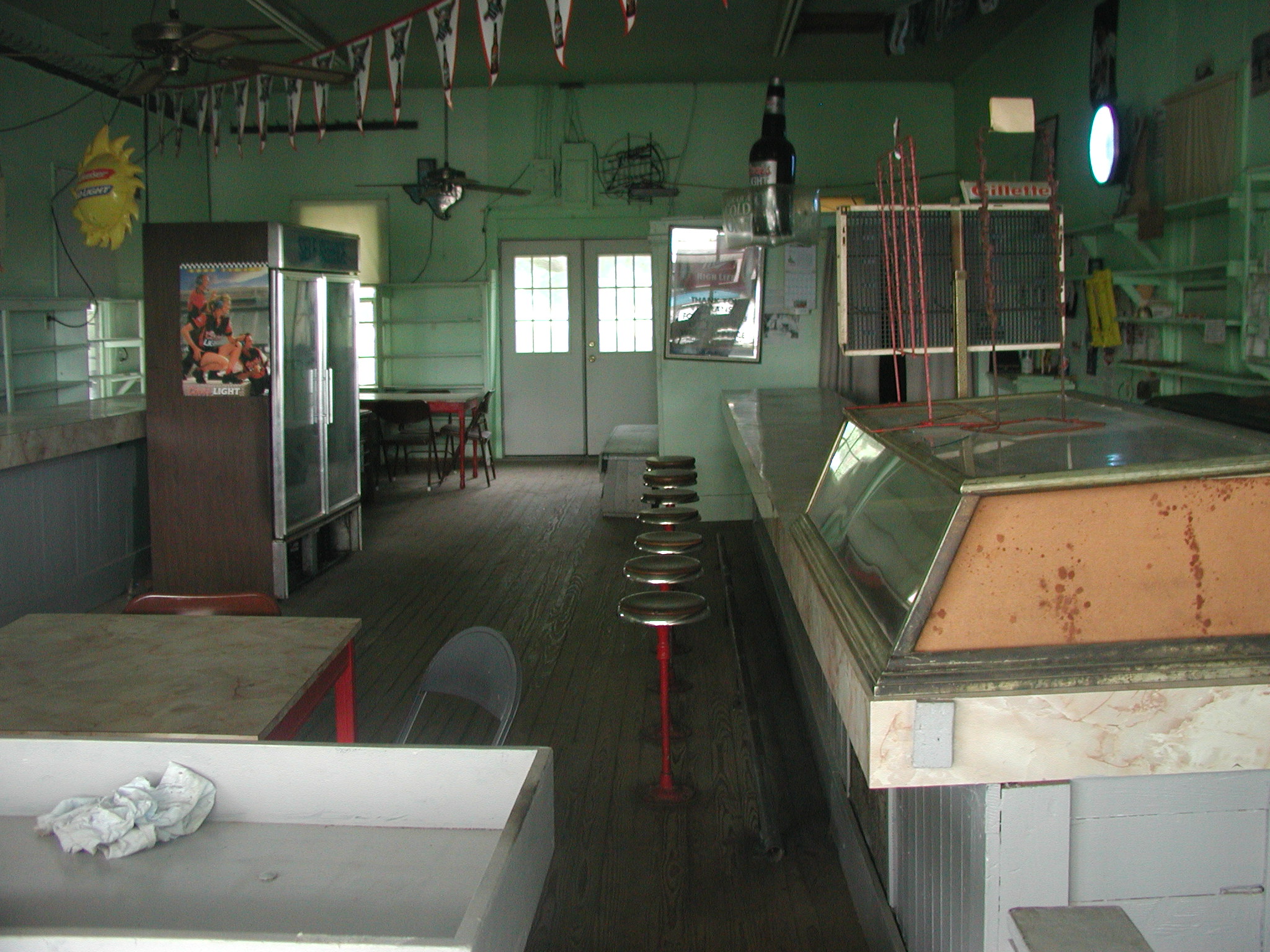
Texaco/Store, Ellinger, TX

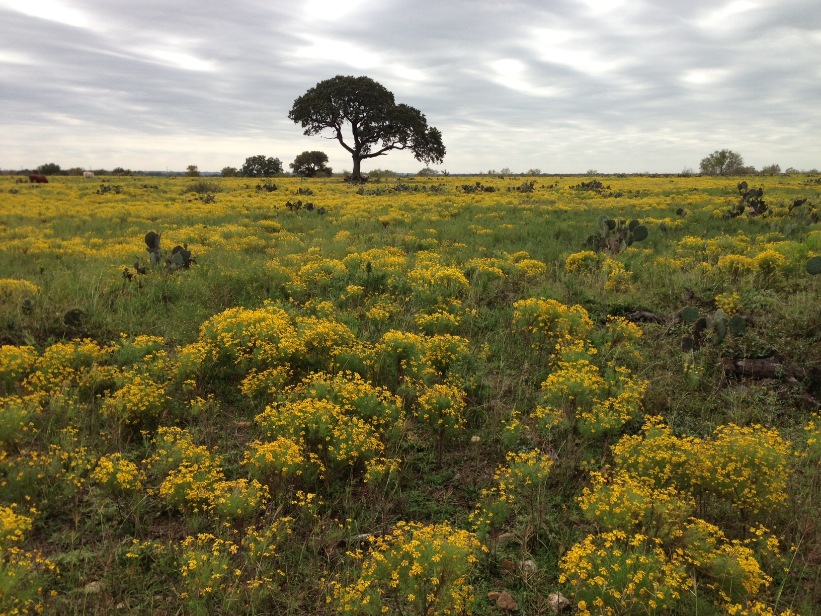
Autumn Grass – Fayetteville, Texas
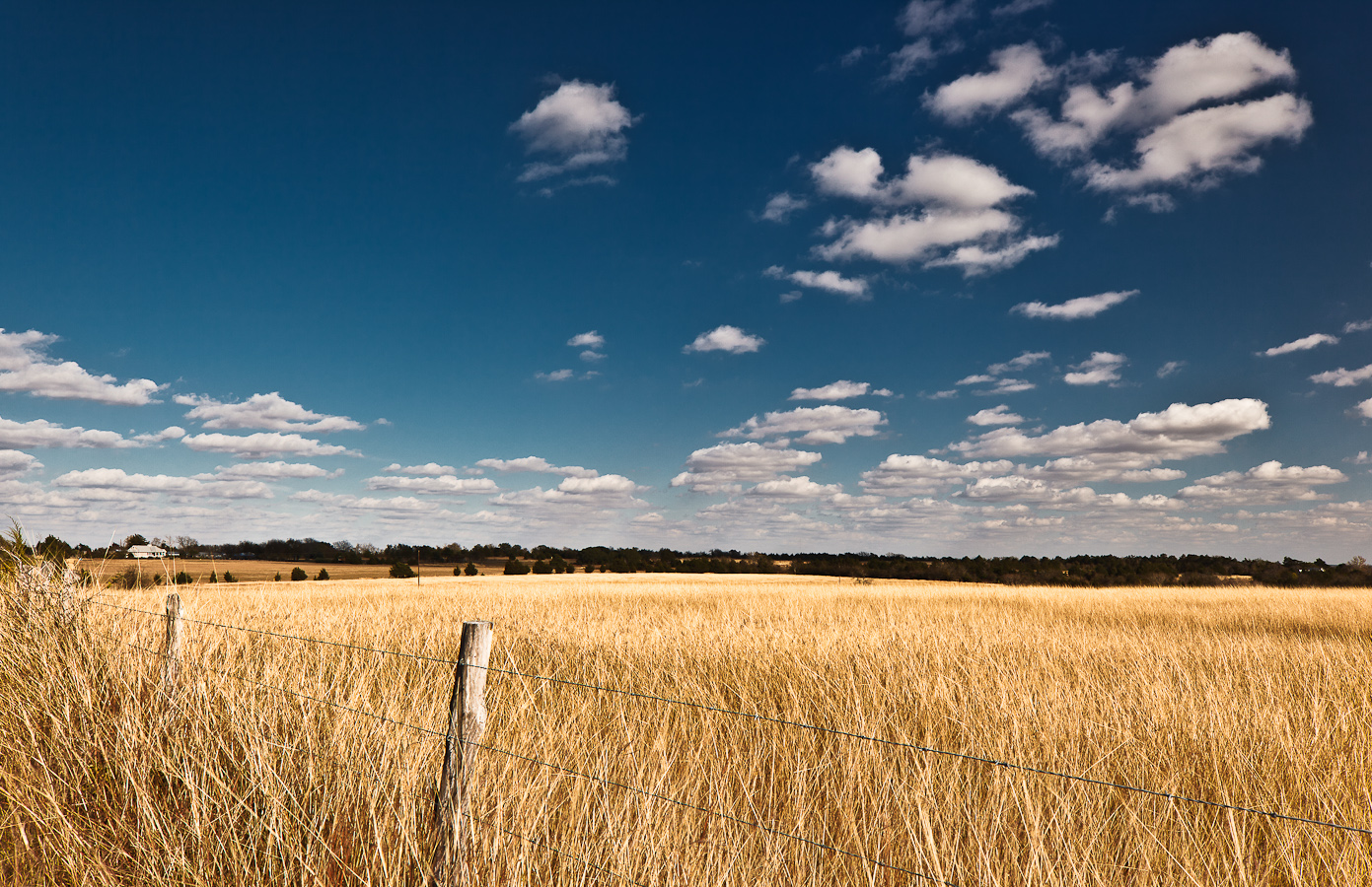
Winter Wheat - Fayetteville, Texas

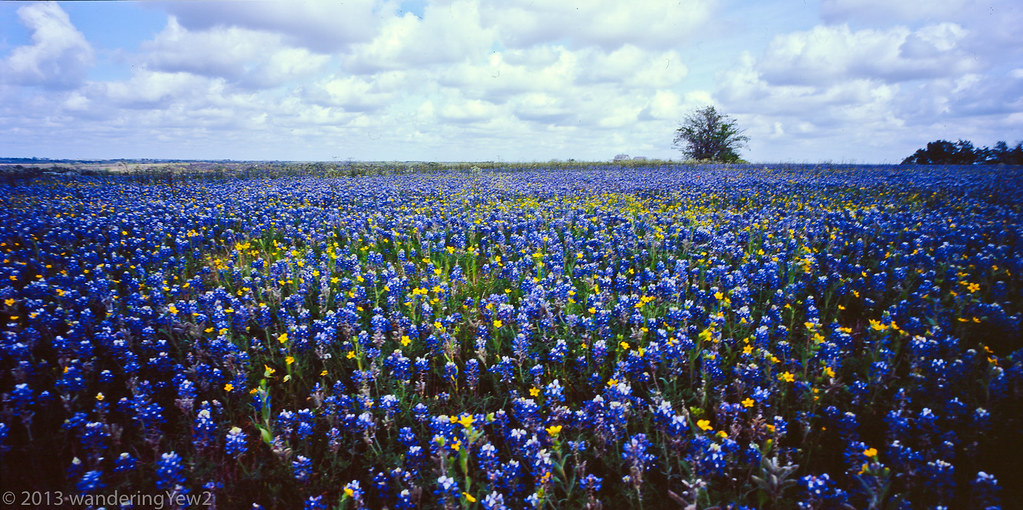
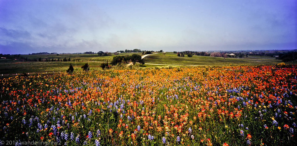
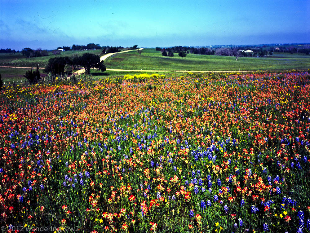
Austin County Wildflower Field panoramic -- Mar 2012
IndustryBluebonnetsField_Panoramic-290
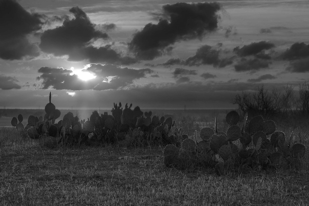
Prickly Pear at Sunset
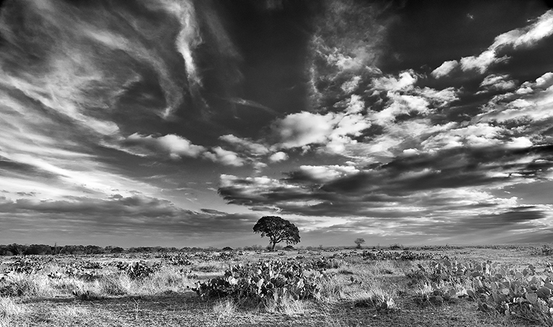
Lone Tree

IndustryBluebonnetsField_Panoramic-289

Austin County Mixed Wildflower Field 2014 (panoramic)
Austin County Wildflower Field Mar 2012 Panoramic #2

Soda Bottle Lilypads
Just Outside Fayetteville, Texas
Haw Creek Rd Bridge over Cummins Creek 1411181035bw

Orange Sky
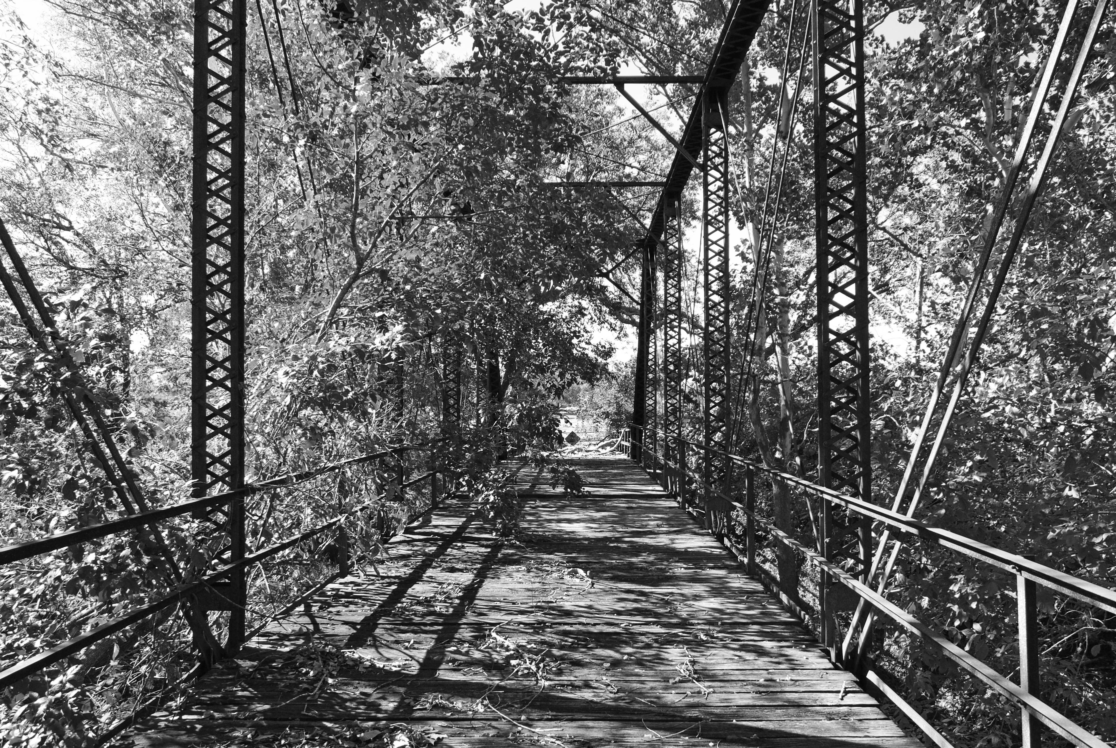
Haw Creek Rd Bridge over Cummins Creek 1411181041bw
HWY 71 outside La Grange

AustinCountyWildflowersPanoramic2015-686
Austin County Mixed Wildflower Field #1
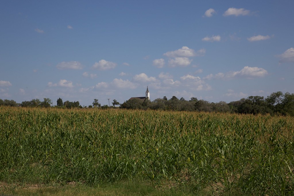
St. Mary,s
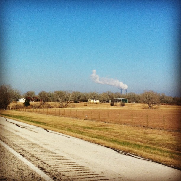
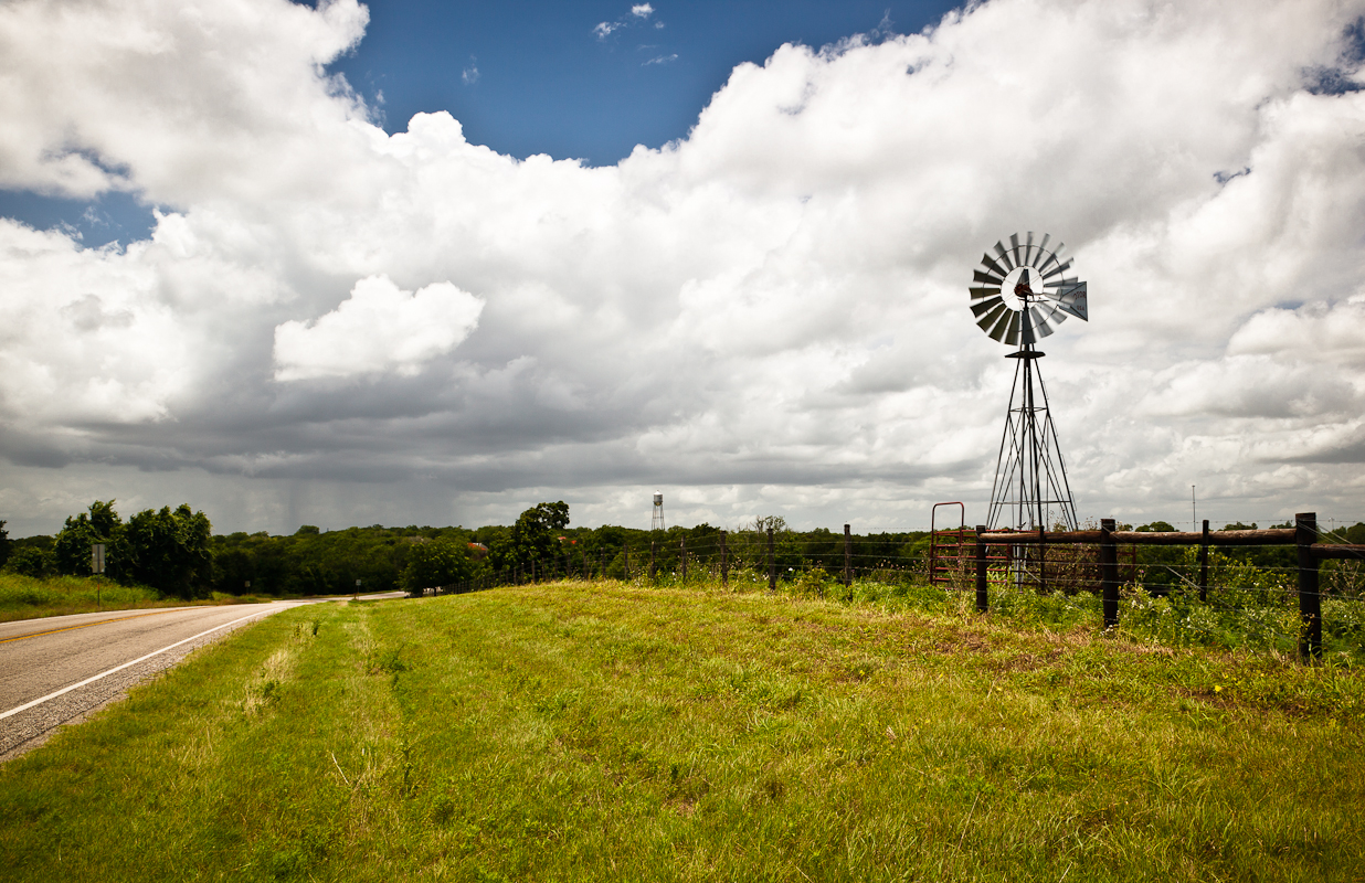
That power plant...
Topographic Map of FM, Fayetteville, TX, USA
Find elevation by address:

Places near FM, Fayetteville, TX, USA:
Fayetteville
Farm To Market Road 1291
1546 Willow Springs Rd
1546 Willow Springs Rd
1546 Willow Springs Rd
Willow Springs Road
Fischer-Buller Rd, Fayetteville, TX, USA
TX-, Fayetteville, TX, USA
Fm 389
Aschenbeck Rd, Fayetteville, TX, USA
Shelby
1686 Marek Rd
1091 Fm109
TX-, Industry, TX, USA
New Ulm
Industry
West Highway 159
Bleiblerville
Kamas St, Bellville, TX, USA
8000 Tx-159
Recent Searches:
- Elevation of Lampiasi St, Sarasota, FL, USA
- Elevation of Elwyn Dr, Roanoke Rapids, NC, USA
- Elevation of Congressional Dr, Stevensville, MD, USA
- Elevation of Bellview Rd, McLean, VA, USA
- Elevation of Stage Island Rd, Chatham, MA, USA
- Elevation of Shibuya Scramble Crossing, 21 Udagawacho, Shibuya City, Tokyo -, Japan
- Elevation of Jadagoniai, Kaunas District Municipality, Lithuania
- Elevation of Pagonija rock, Kranto 7-oji g. 8"N, Kaunas, Lithuania
- Elevation of Co Rd 87, Jamestown, CO, USA
- Elevation of Tenjo, Cundinamarca, Colombia