Elevation of FM, Anderson, TX, USA
Location: United States > Texas > Grimes County > Anderson >
Longitude: -96.056350
Latitude: 30.4835854
Elevation: 83m / 272feet
Barometric Pressure: 100KPa
Elevation Map:
Satellite Map:
Related Photos:
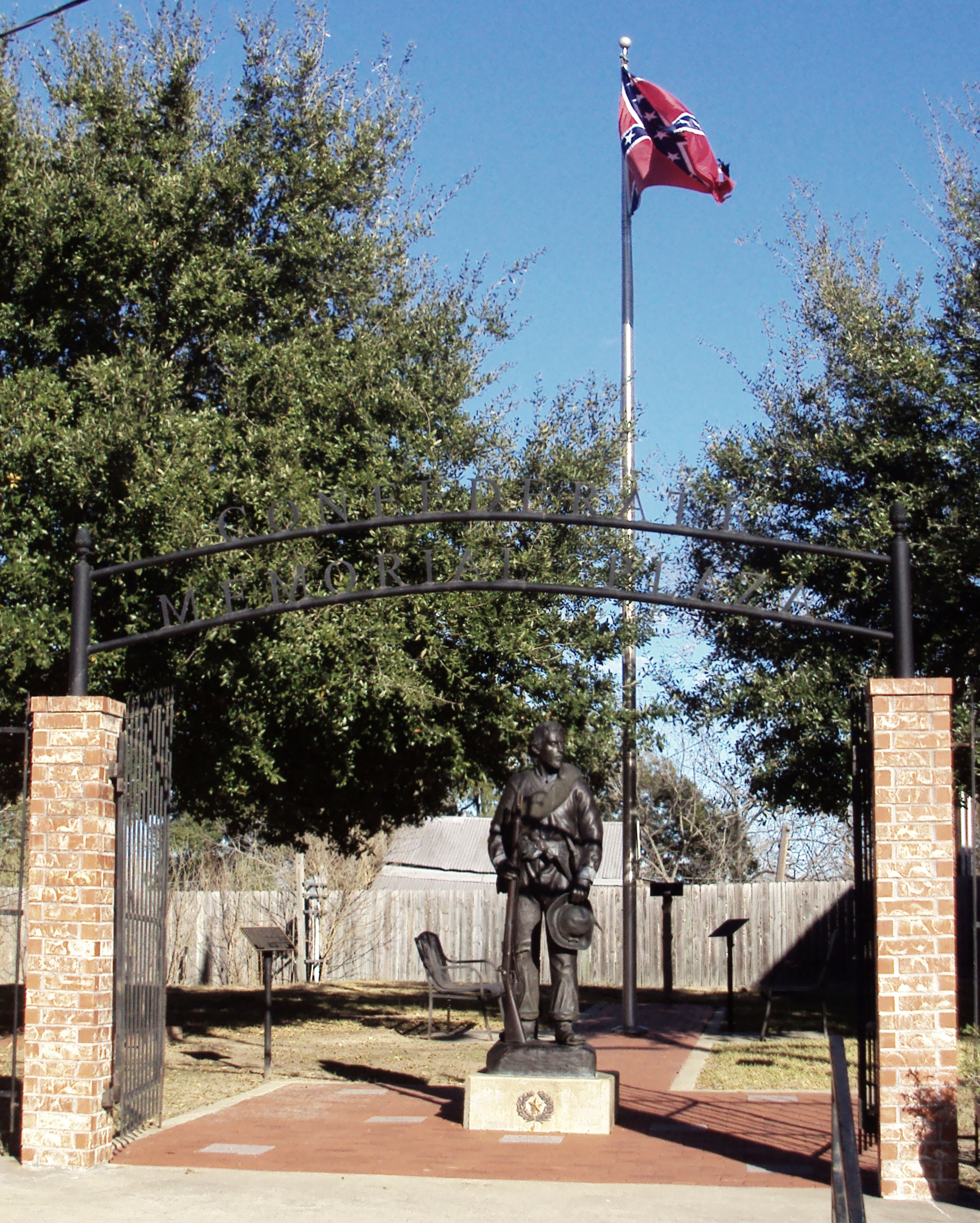
Heritage of Hate: Confederate Memorial Plaza, Anderson, Texas 0108111521
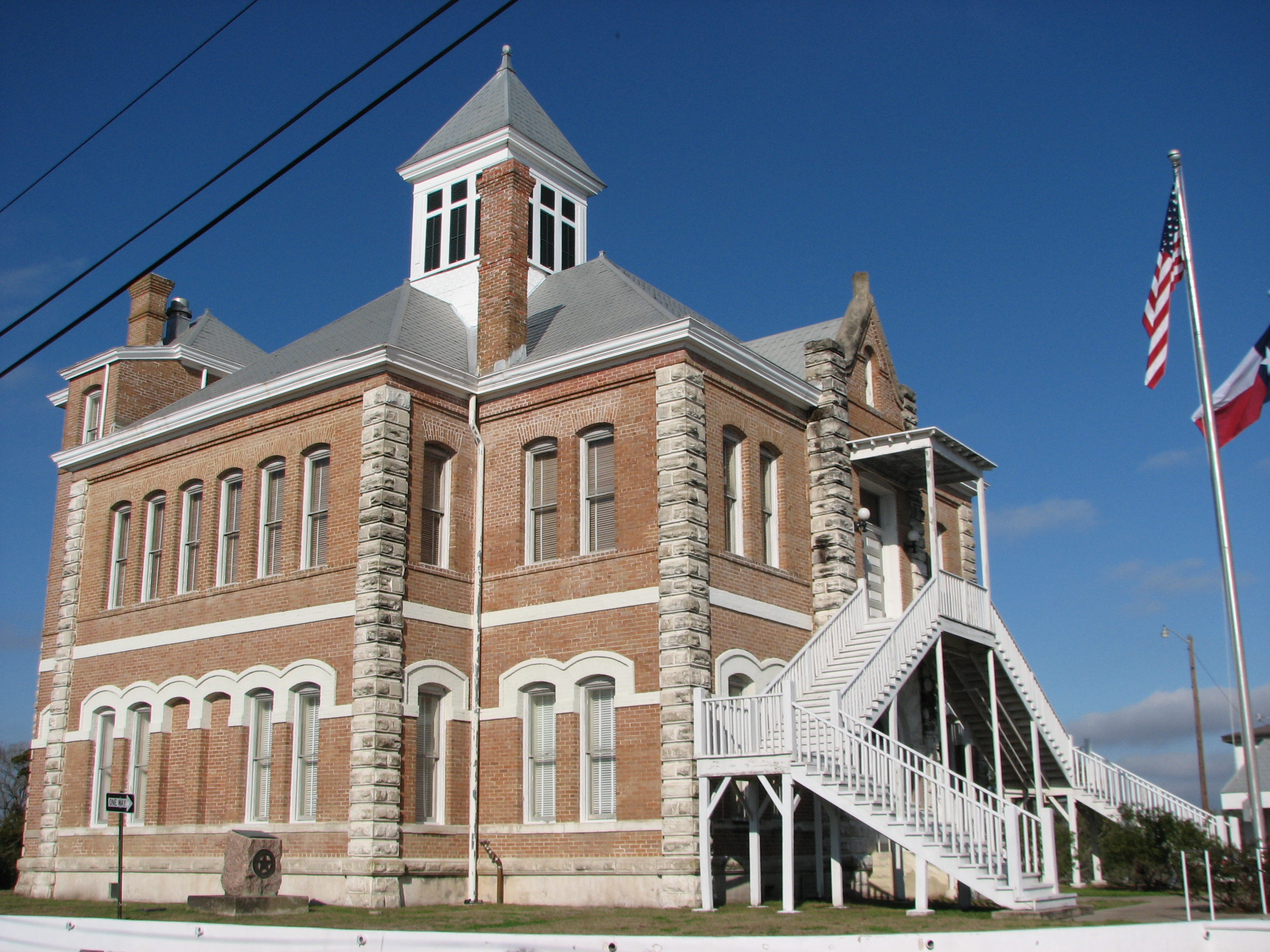
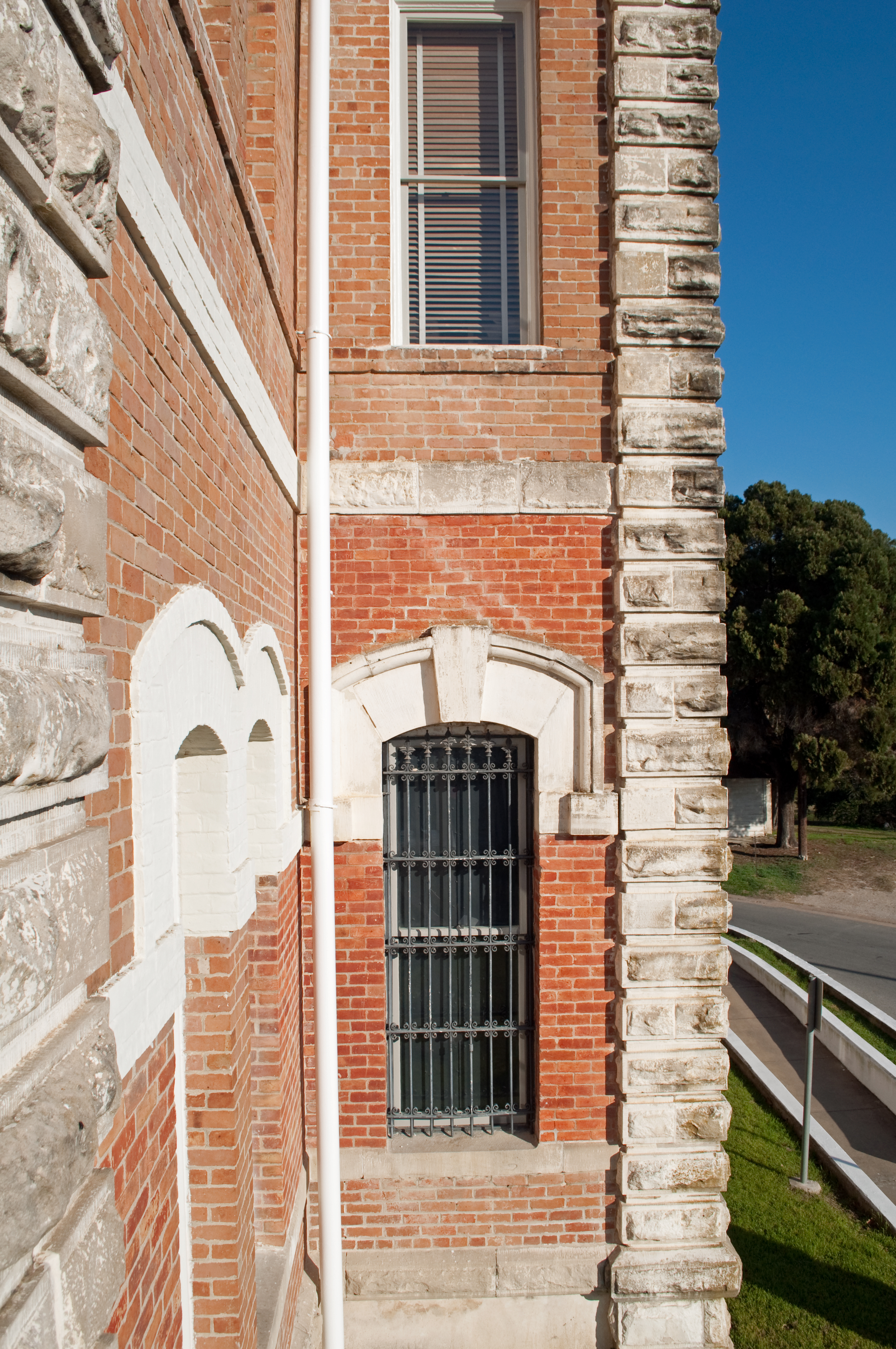
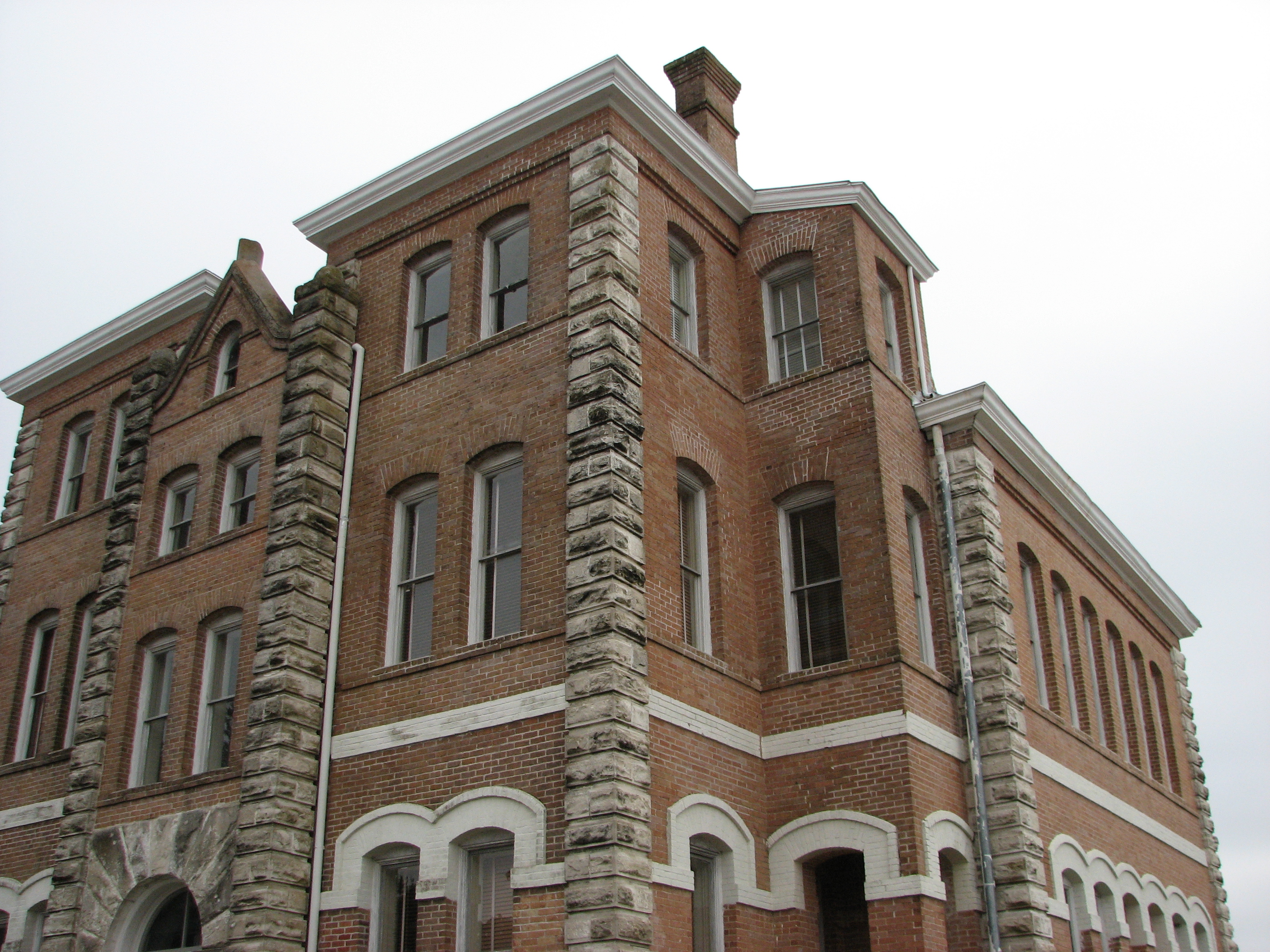
Grimes County Courthouse, side view
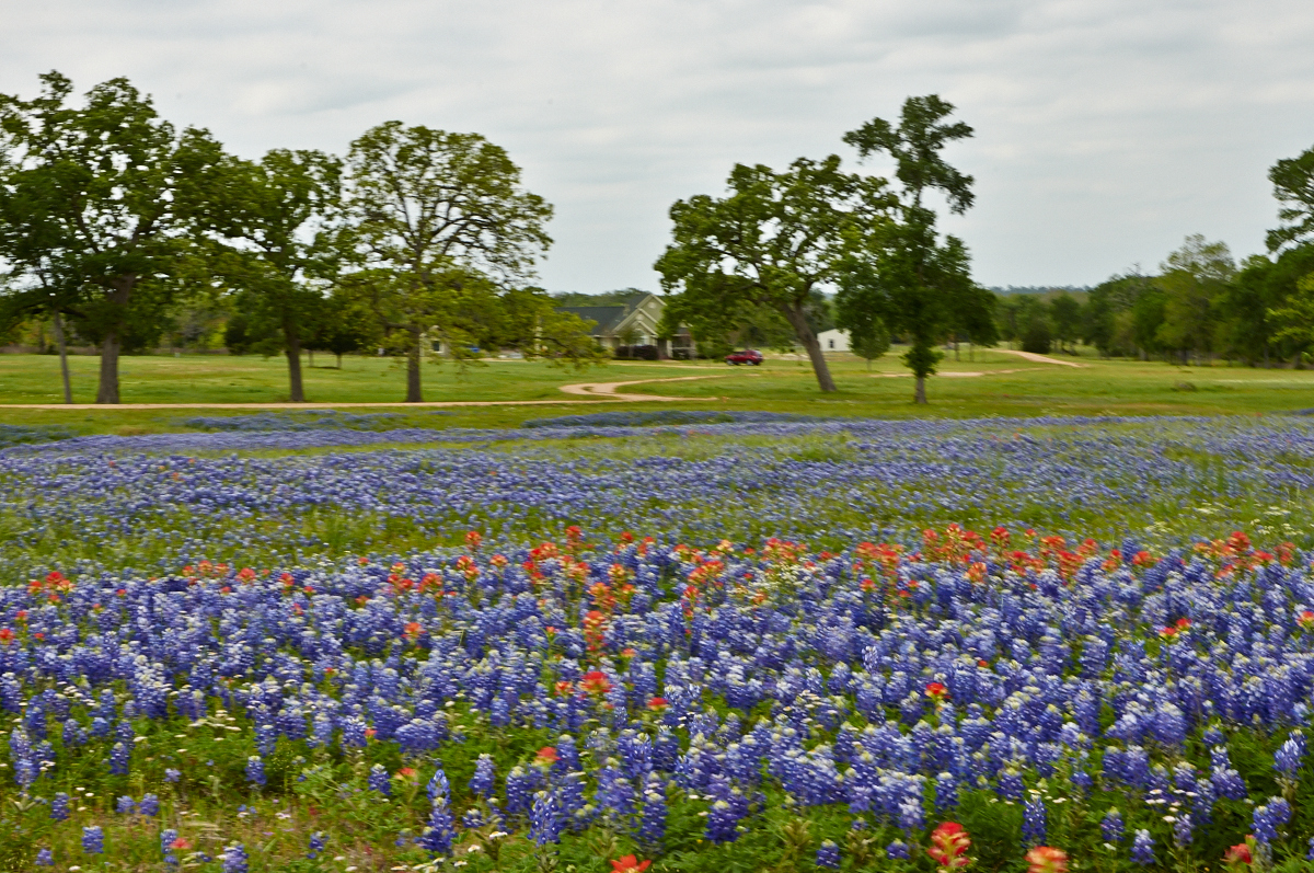
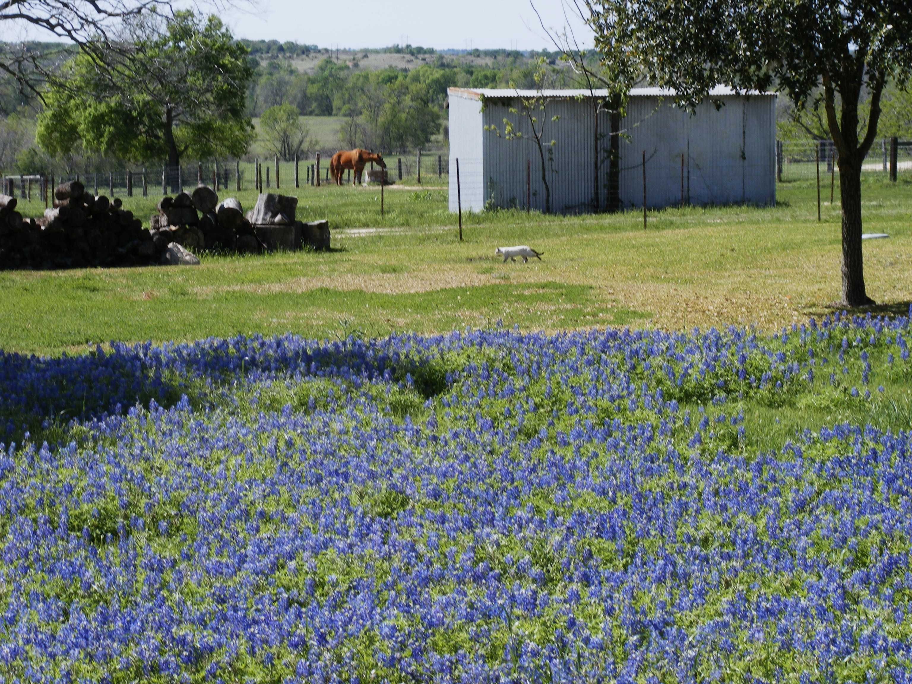
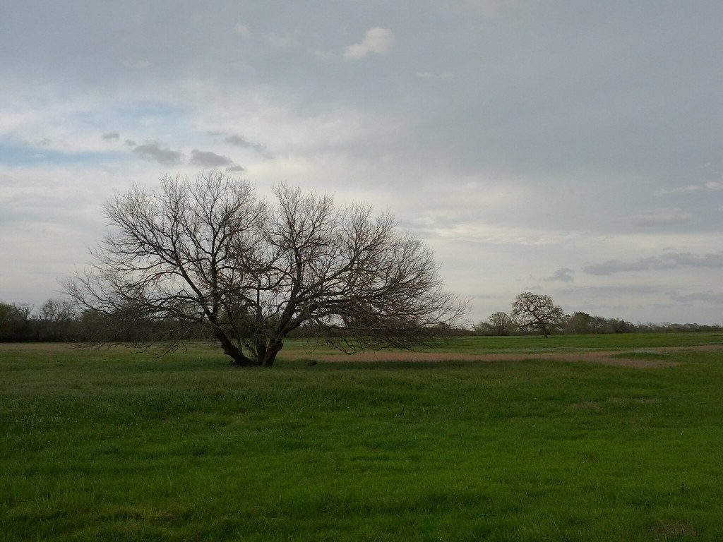
Texas Ranch in Springtime
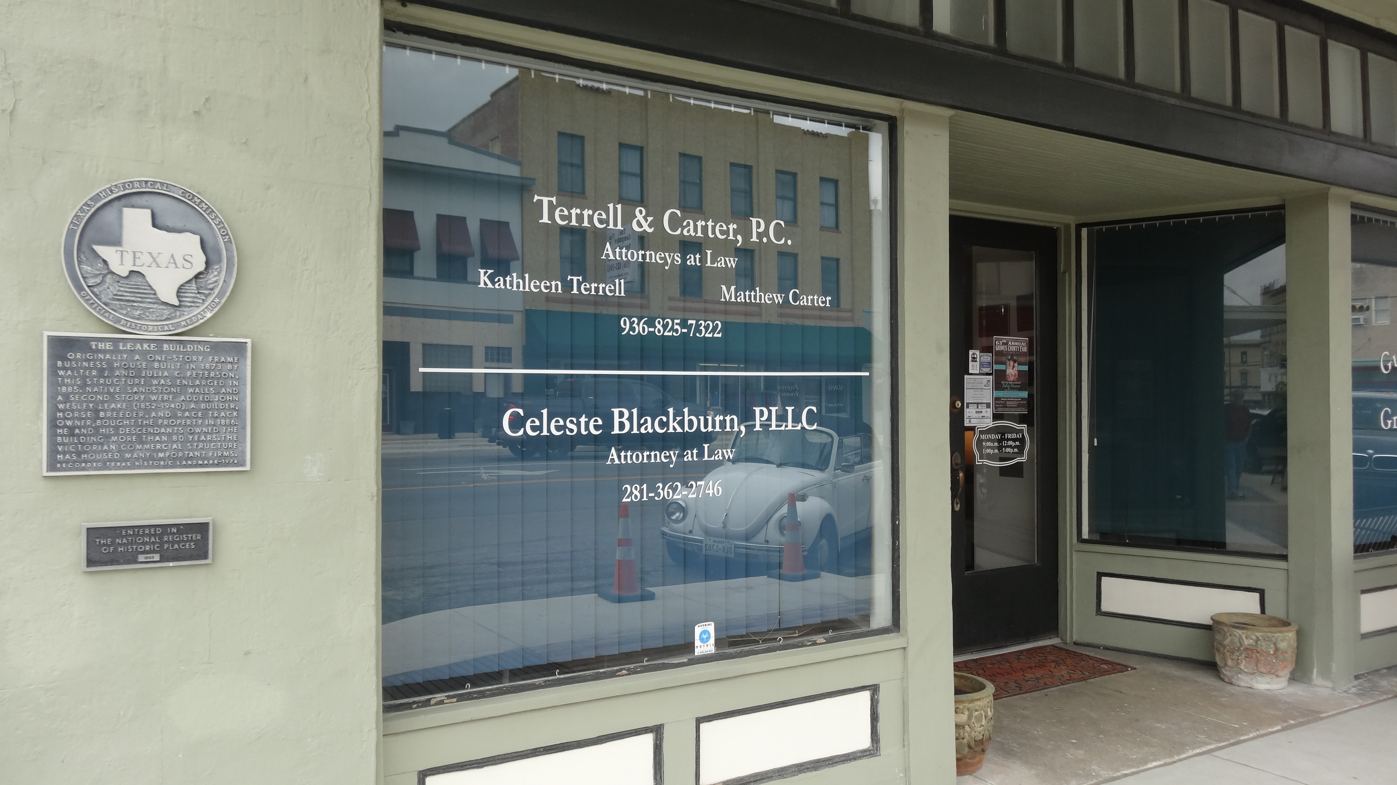
Leake Building, Navasota, TX
Grimes County Courthouse
Anderson, Tx
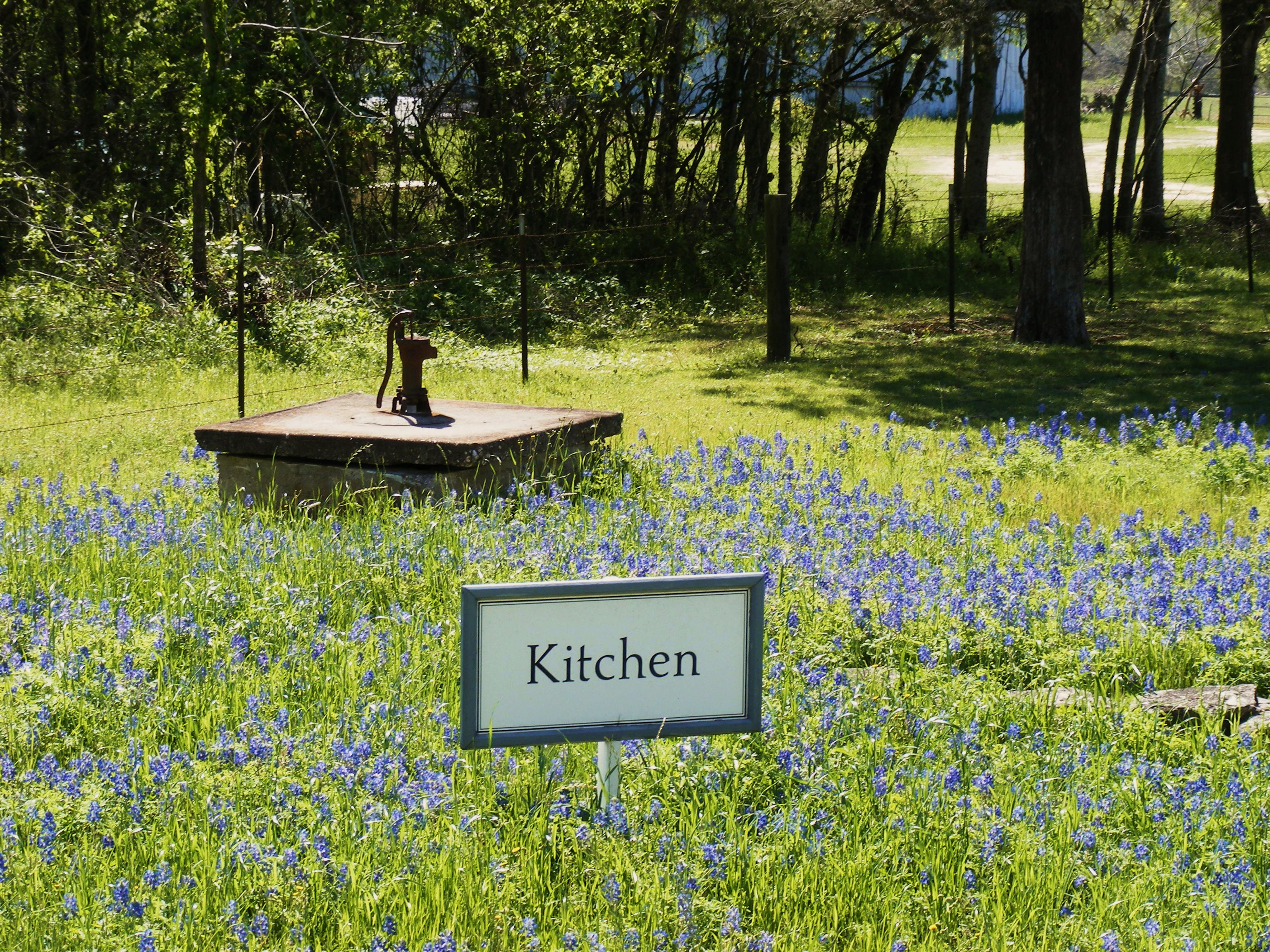
Fanthorp Inn Kitchen area
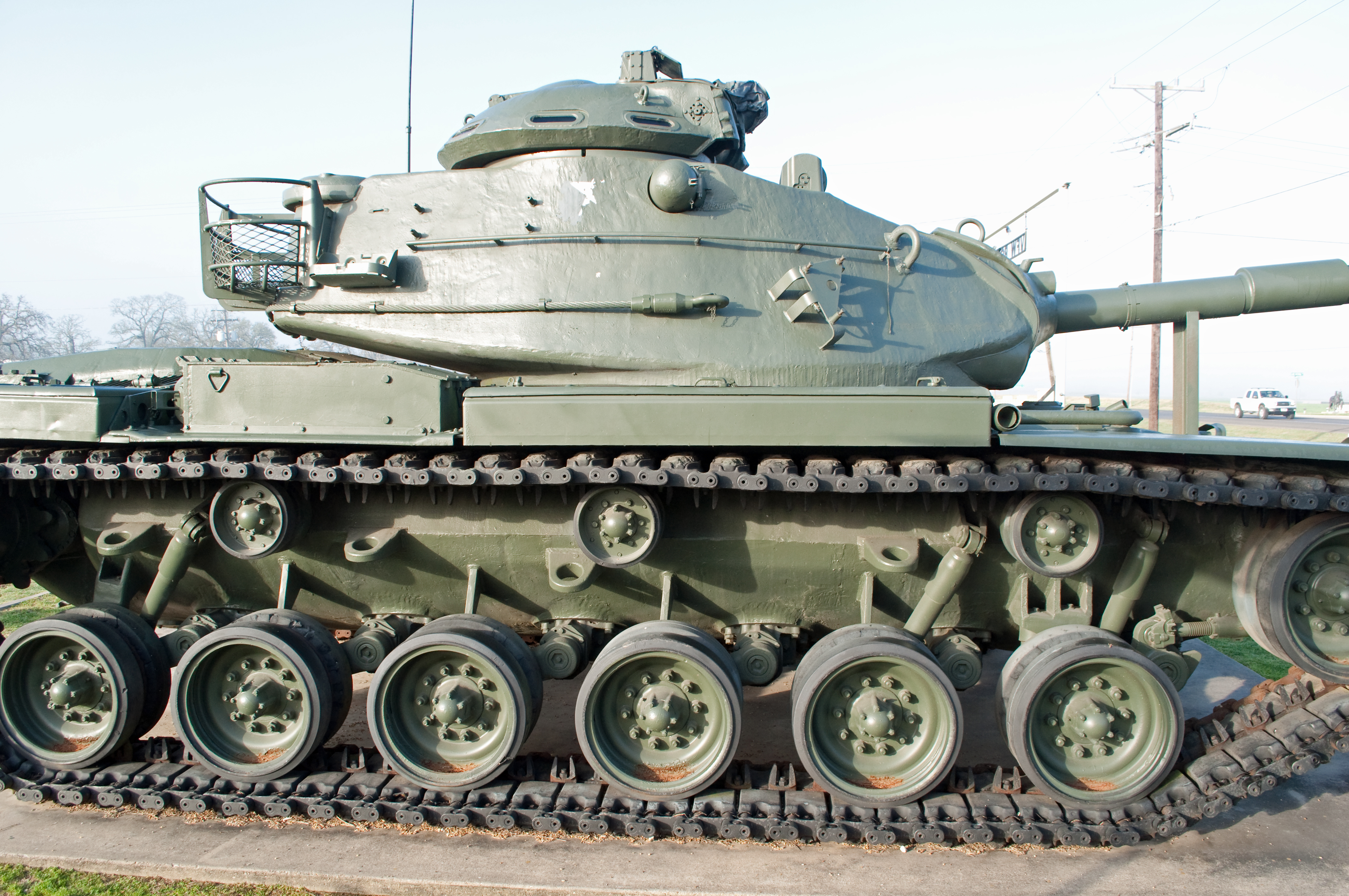
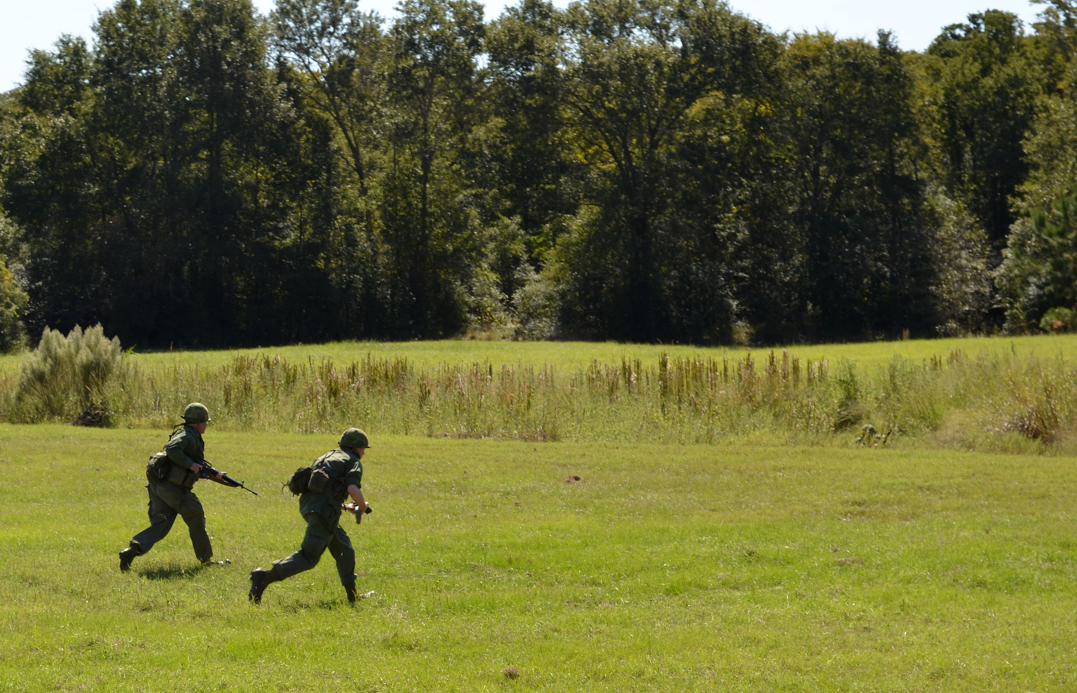
M60 tank
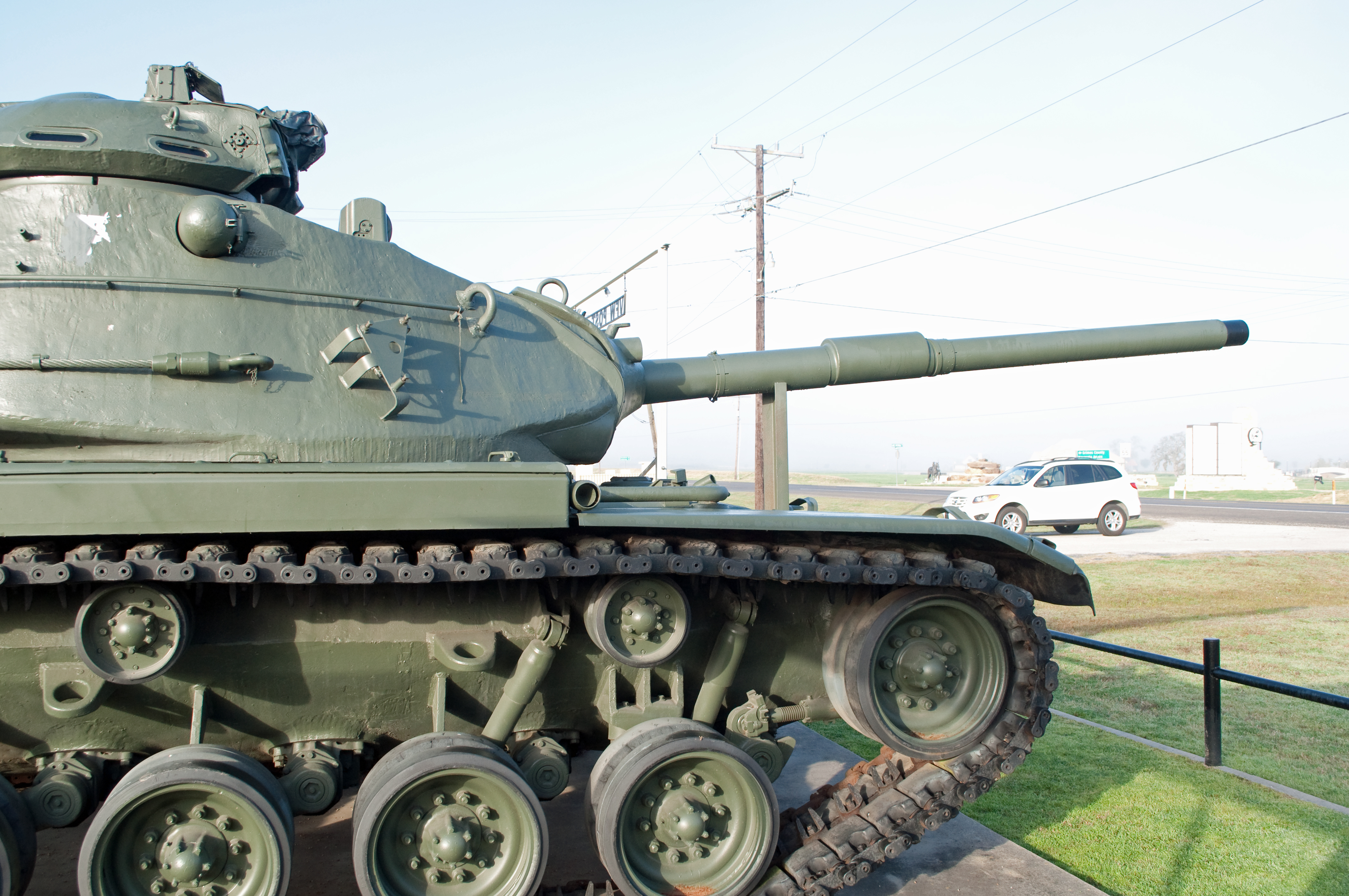
M60 tank
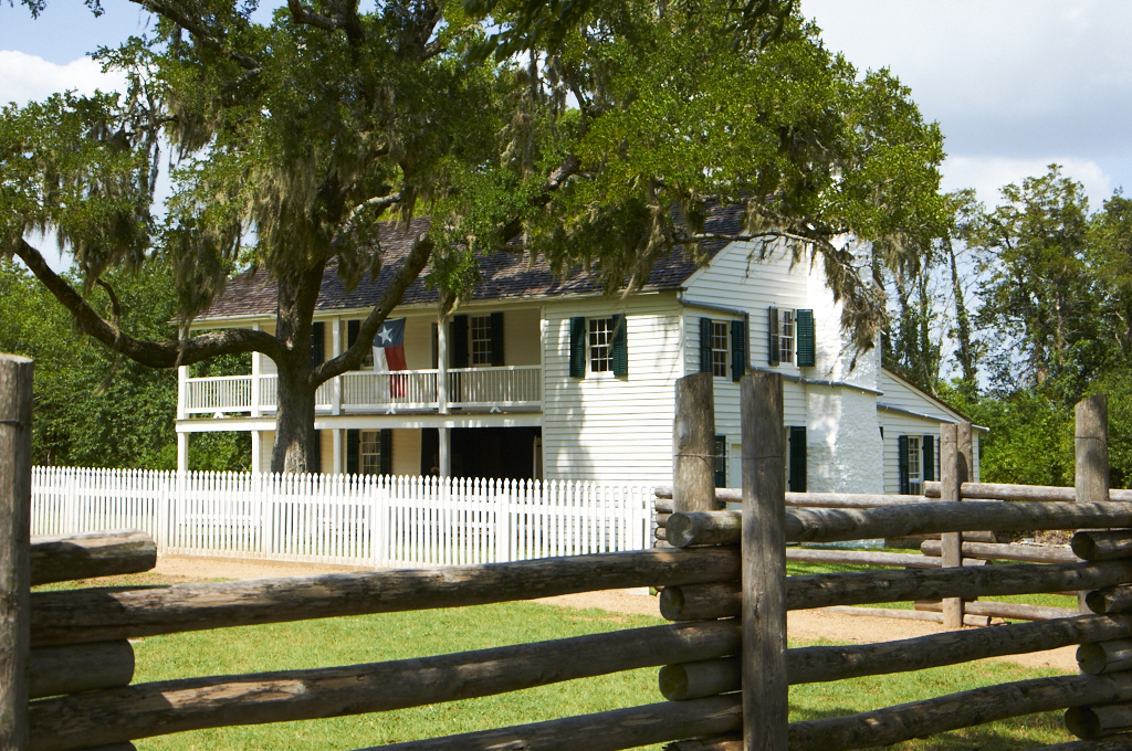
Fanthorp Inn

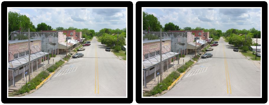
Anderson, Texas
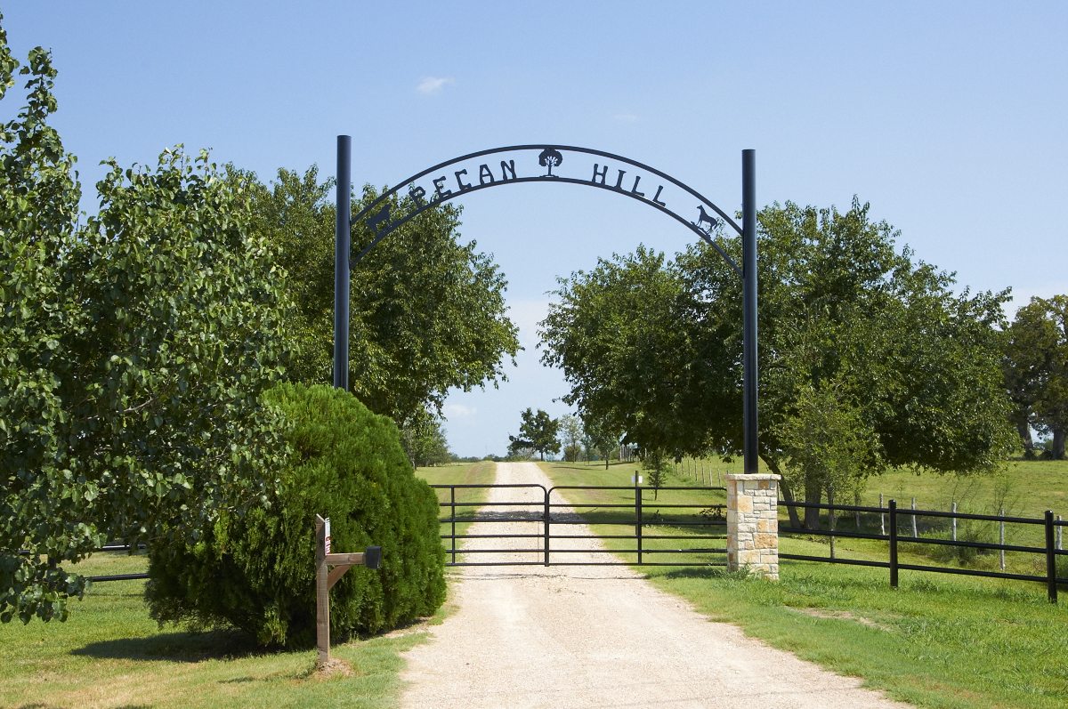
Pecan Hill
Back Corner View
Fanthorp Inn view from back

Grimes County Courthouse
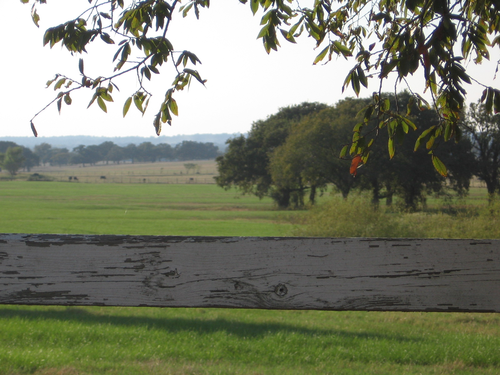
View from a Picnic Area
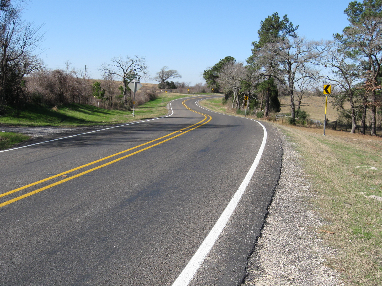
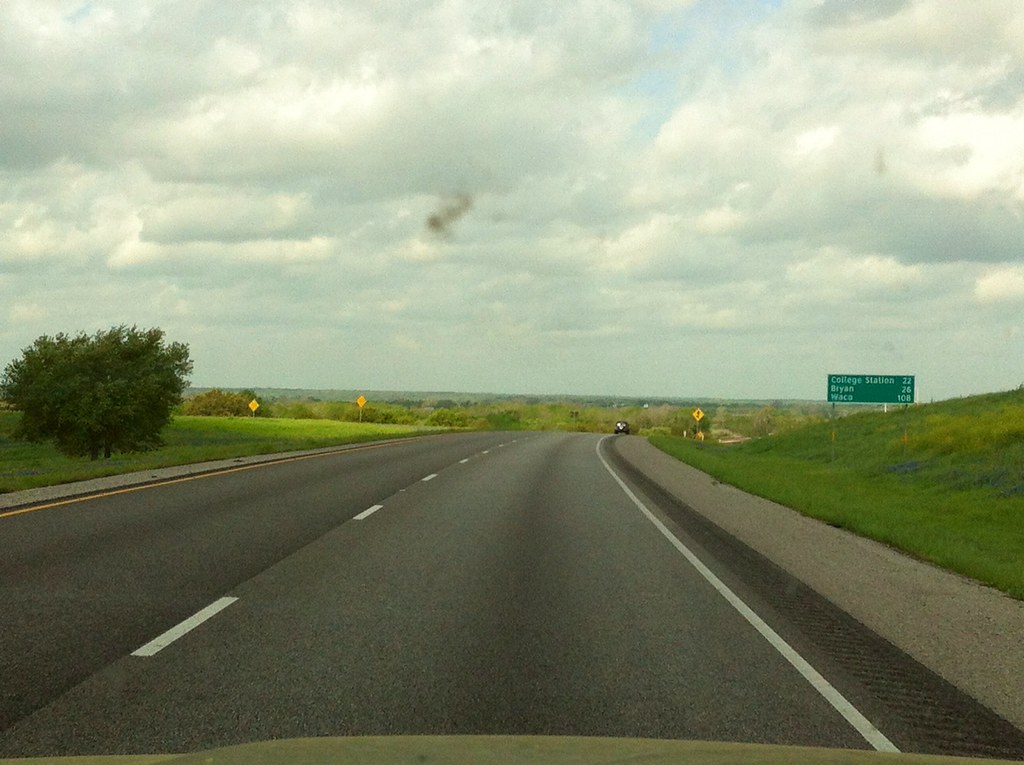
090111 short trip road view 02
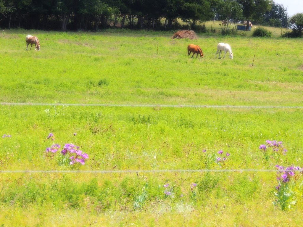
Bluebell Country
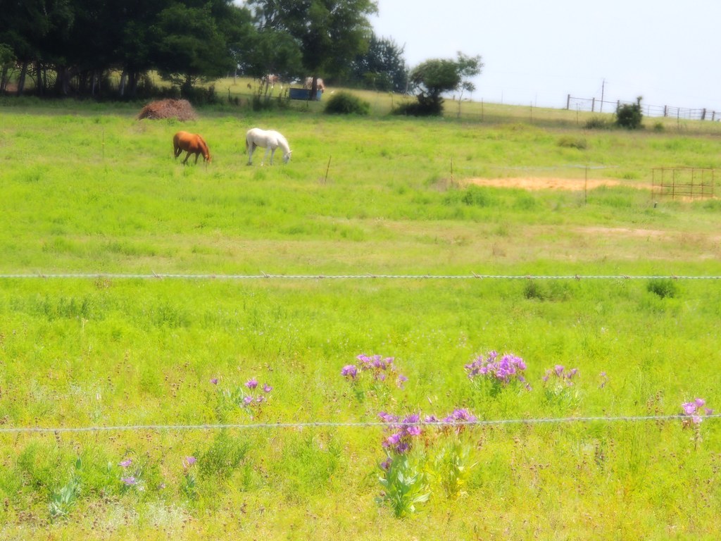
Texas Bluebell Pastoral
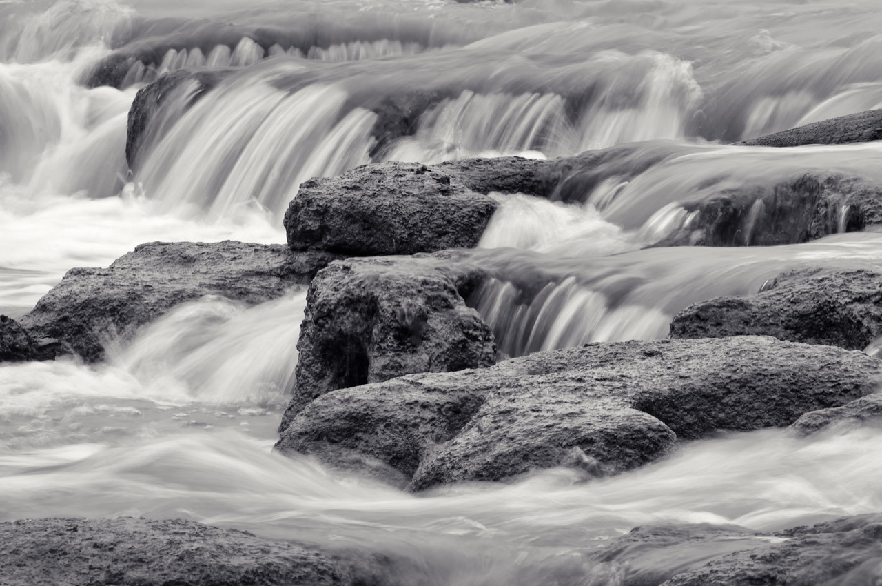
Hidalgo Eddies
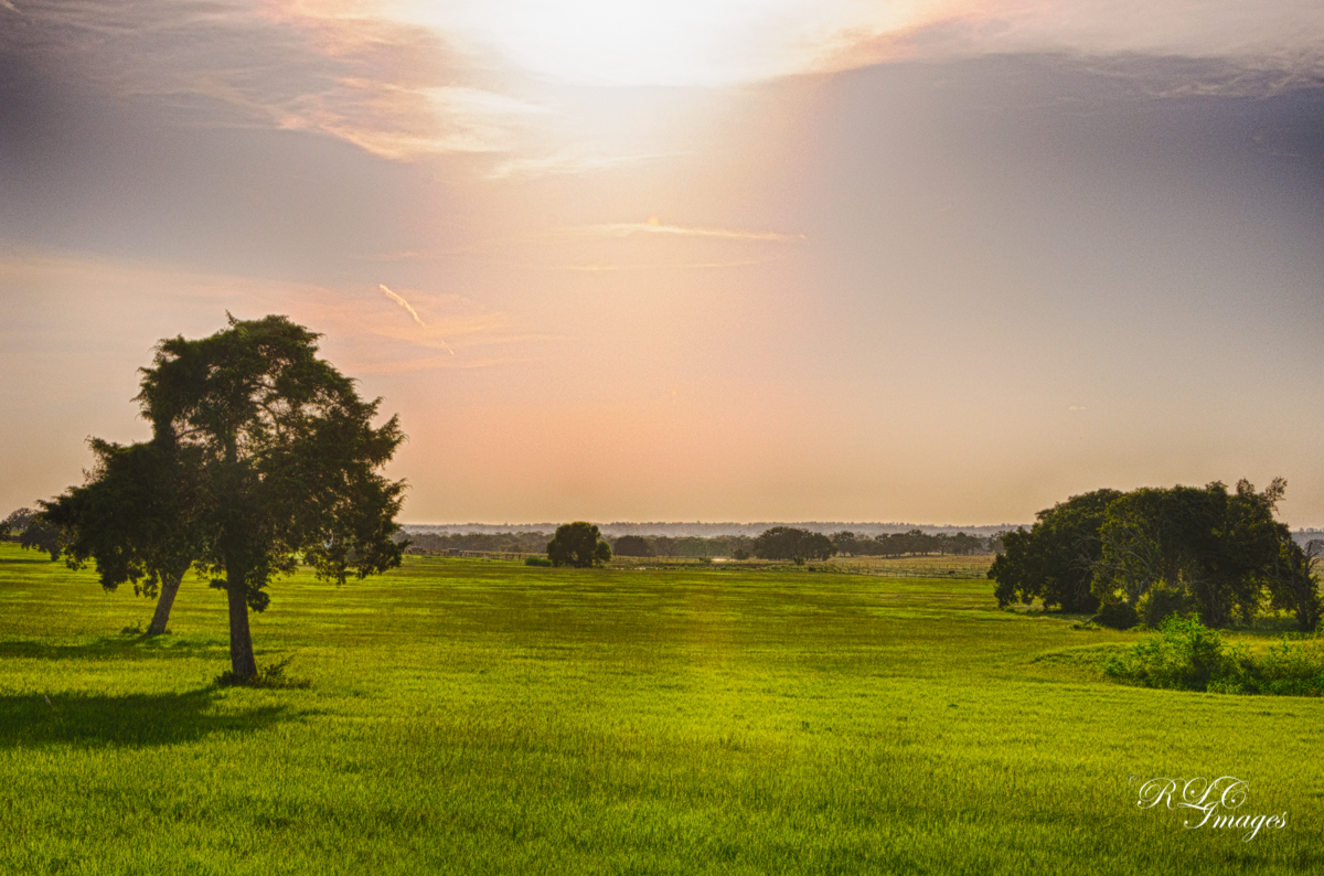
Texas Evening
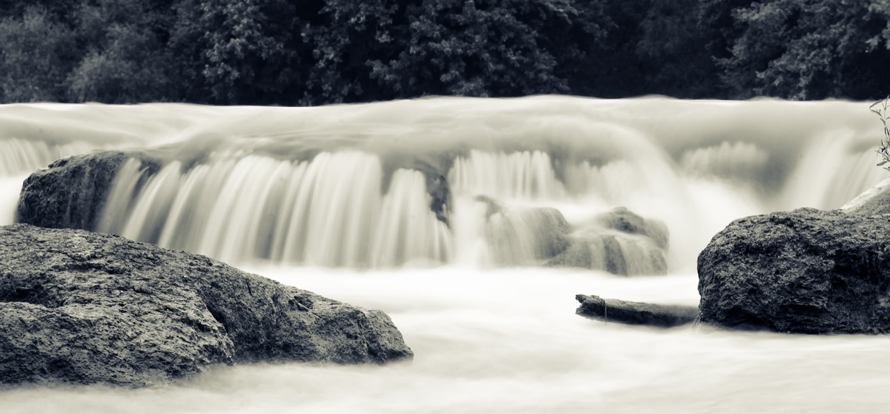
Hidalgo Falls

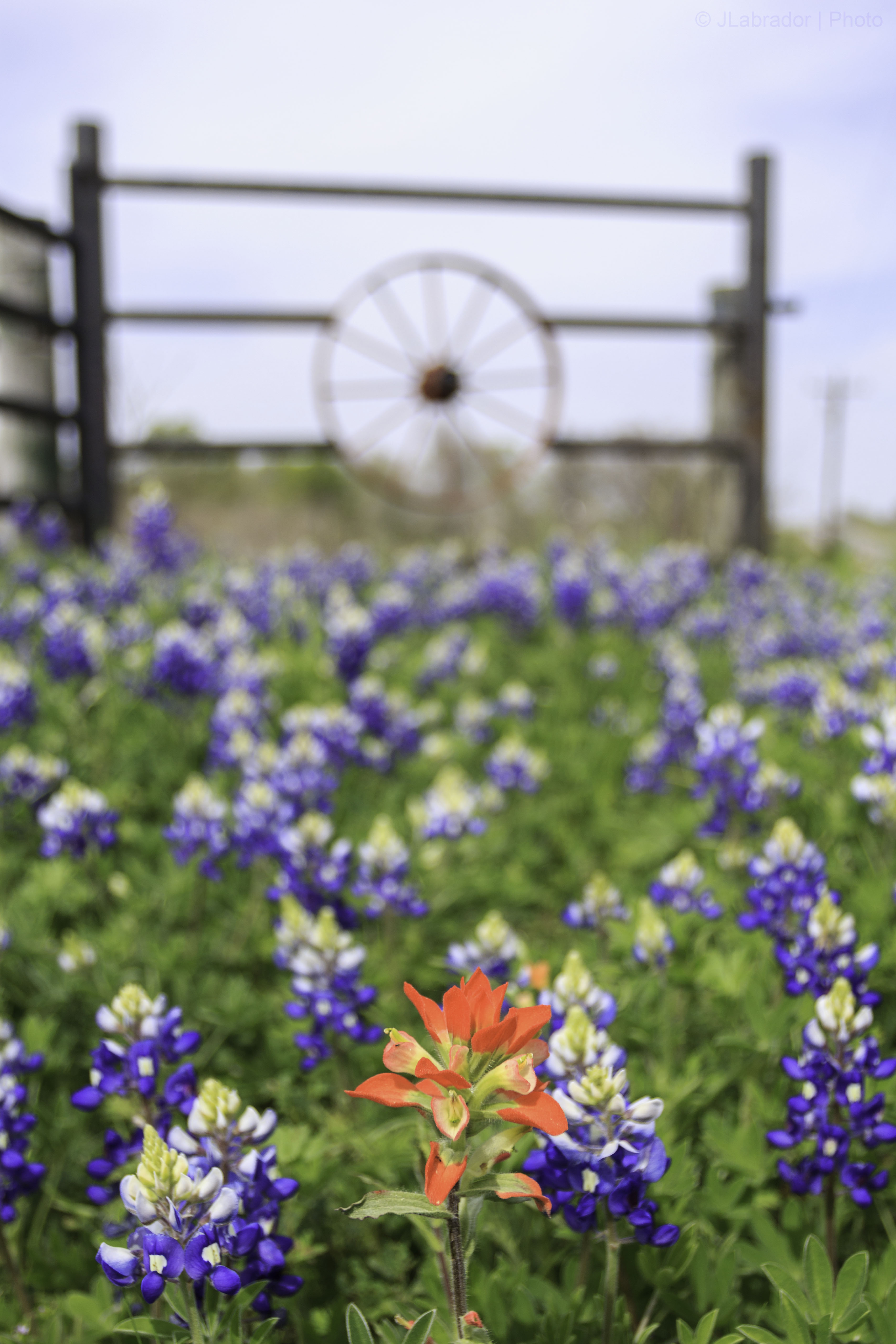
Bluebonnets Behind The Fence

Hide & Seek
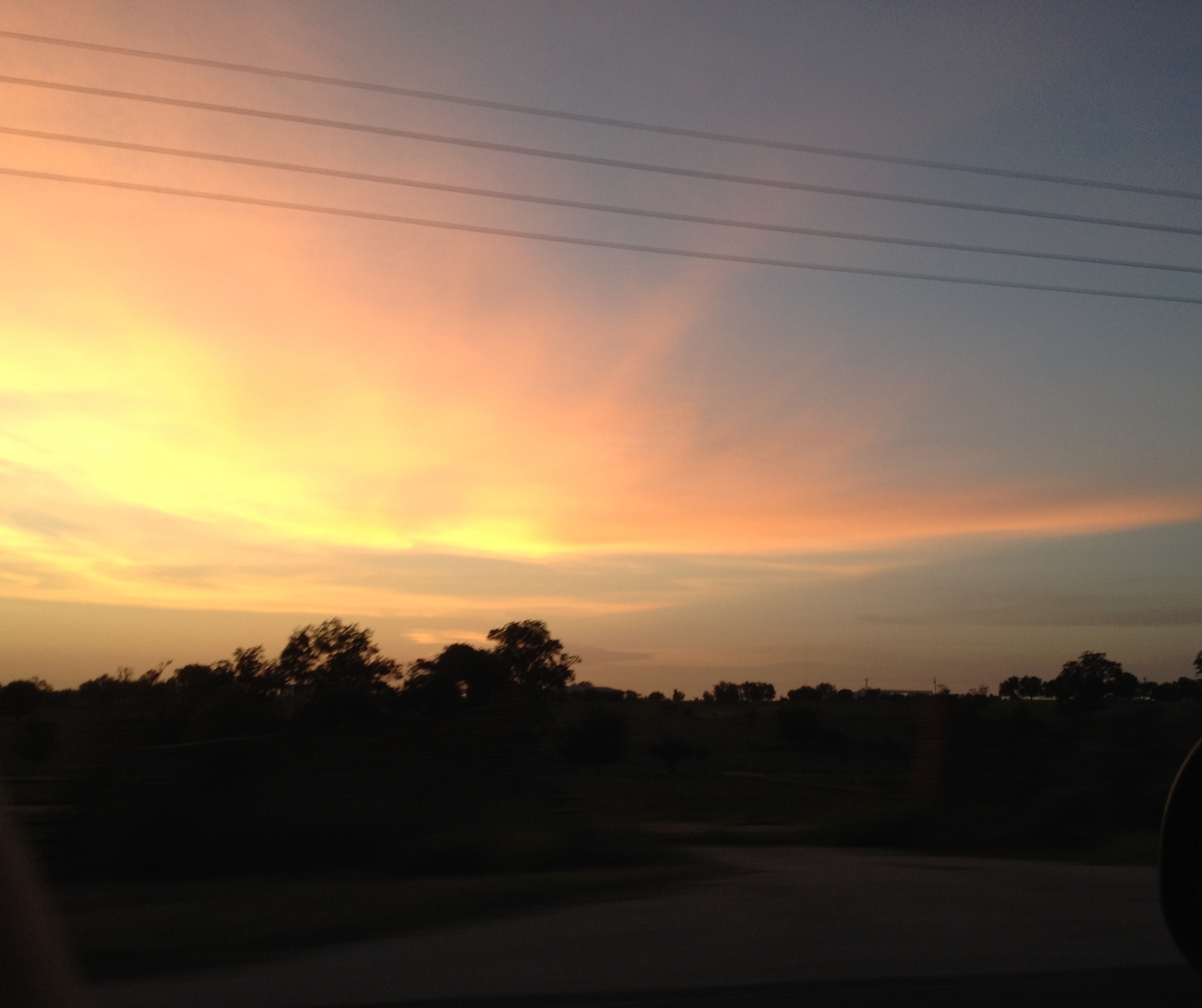
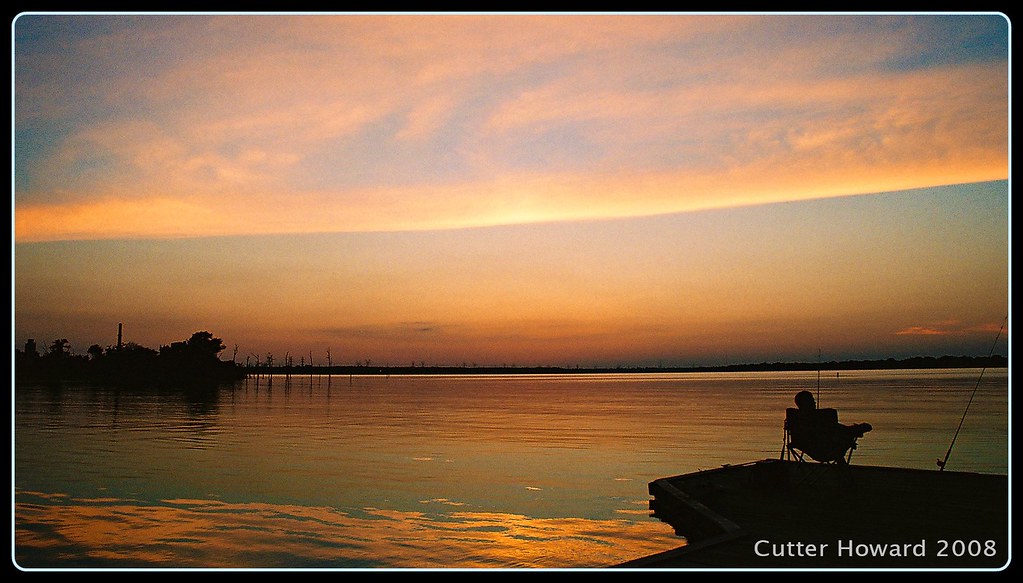
Grimes County sunset
Brazos Valley
First Day of Spring
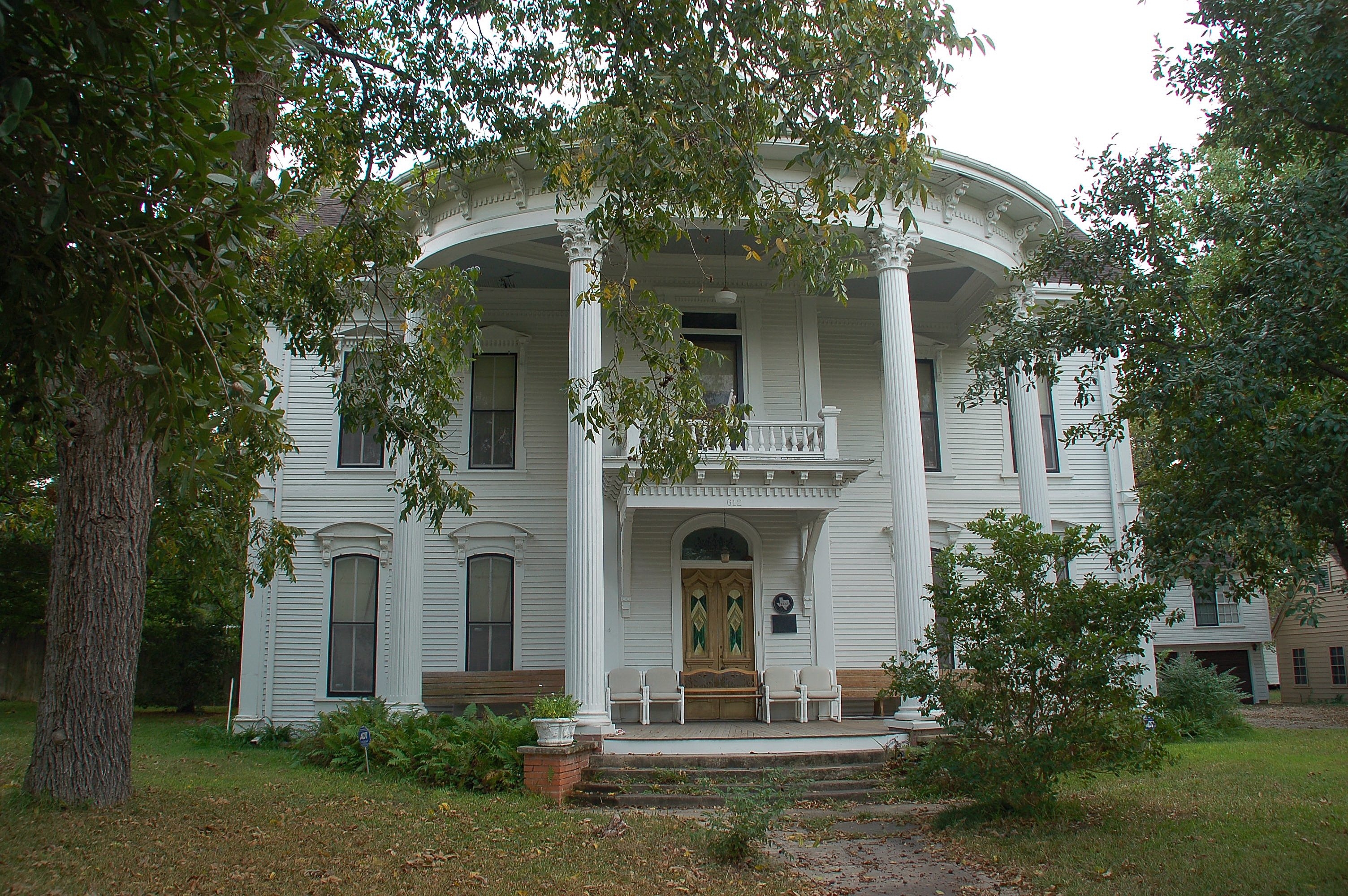
Joseph Brooks Home
Day 67: Field
Gibbons Creek Aug 24th 2008 - Picnic area
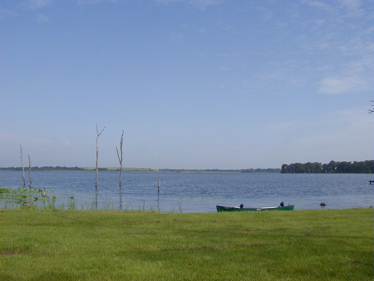
Gibbons Creek Aug 24th 2008 - Boat Dock
Museum of the American GI

Potty stop over for the kids... #akita #ken #bo #tsuki
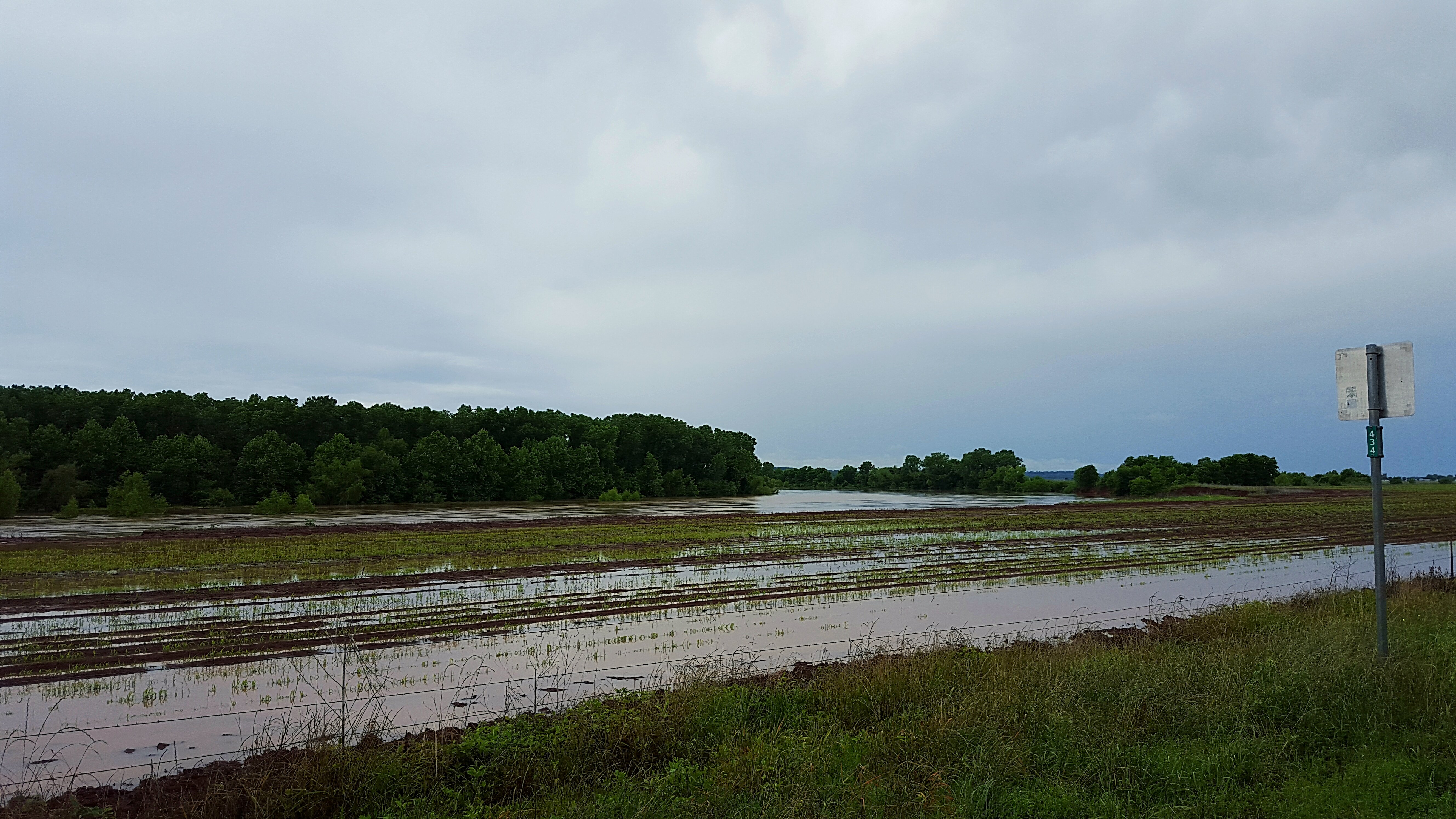
Brazos River, 3 days after flooding
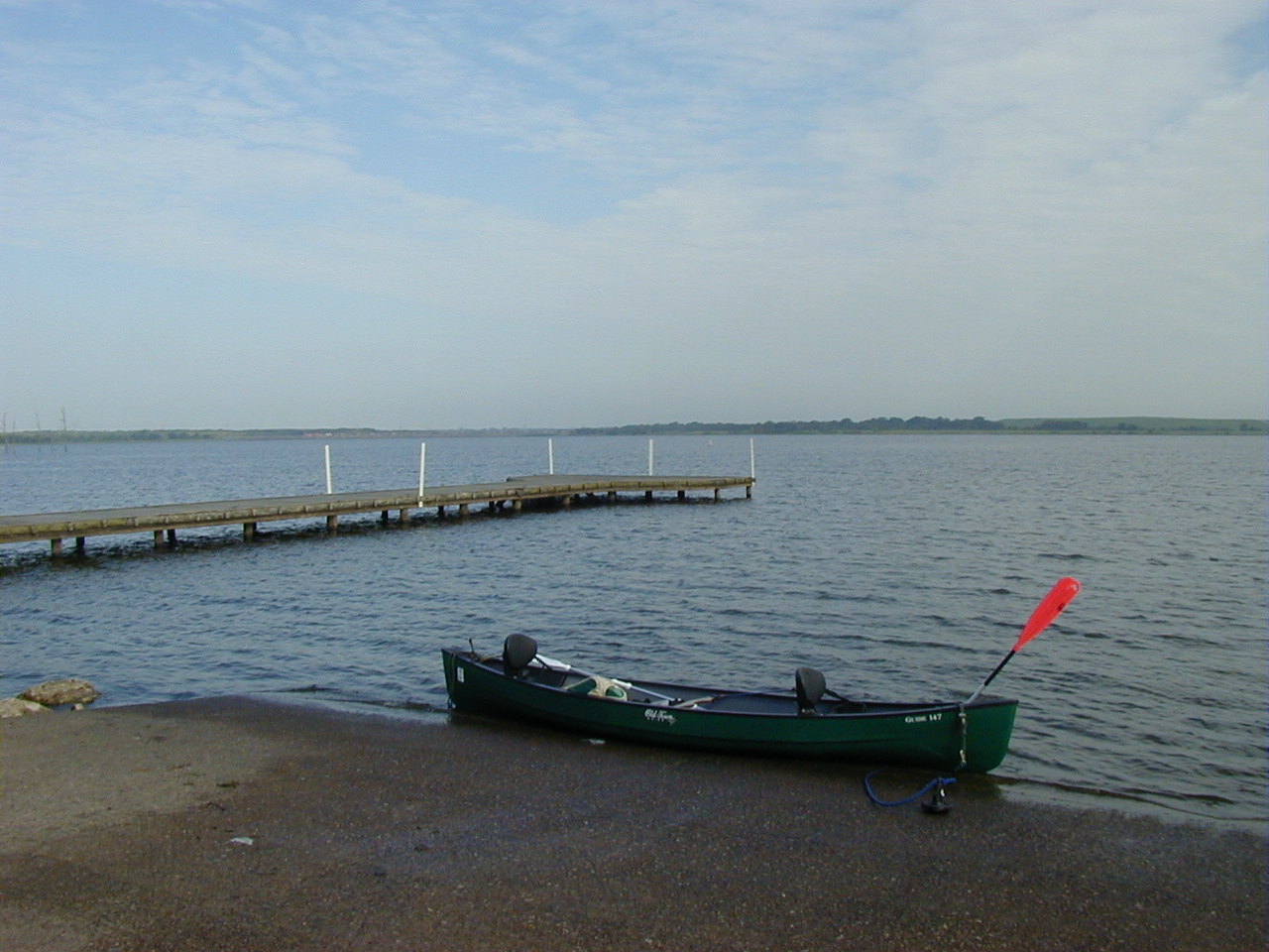
A Day at the Lake
Topographic Map of FM, Anderson, TX, USA
Find elevation by address:

Places near FM, Anderson, TX, USA:
4580 Co Rd 447
6460 Co Rd 185
12460 Fm 3090
Anderson
South Main Street
Grimes County
County Road 180
6750 Co Rd 406
Millican
Peach Creek Rd, College Station, TX, USA
Dallam
1207 Ebbtide Cove
Nantucket
Stousland Rd, College Station, TX, USA
2602 Portland Ave
935 Dove Landing Ave
College Station, TX, USA
214 Rugen Ln
214 Meir Ln
3703 Essen Loop
Recent Searches:
- Elevation of Holloway Ave, San Francisco, CA, USA
- Elevation of Norfolk, NY, USA
- Elevation of - San Marcos Pass Rd, Santa Barbara, CA, USA
- Elevation of th Pl SE, Issaquah, WA, USA
- Elevation of 82- D Rd, Captain Cook, HI, USA
- Elevation of Harlow CM20 2PR, UK
- Elevation of Shenyang Agricultural University, Dong Ling Lu, Shen He Qu, Shen Yang Shi, Liao Ning Sheng, China
- Elevation of Alpha Dr, Melbourne, FL, USA
- Elevation of Hiroshima University, 1-chōme-3-2 Kagamiyama, Higashihiroshima, Hiroshima -, Japan
- Elevation of Bernina Dr, Lake Arrowhead, CA, USA