Elevation of FM 71, Sulphur Springs, TX, USA
Location: United States > Texas > Hopkins County > Sulphur Springs >
Longitude: -95.534960
Latitude: 33.2742323
Elevation: 159m / 522feet
Barometric Pressure: 99KPa
Elevation Map:
Satellite Map:
Related Photos:

My Way...

sunrise at Cooper Lake
2016-03-01_07-19-47

sunset at Eagle Point
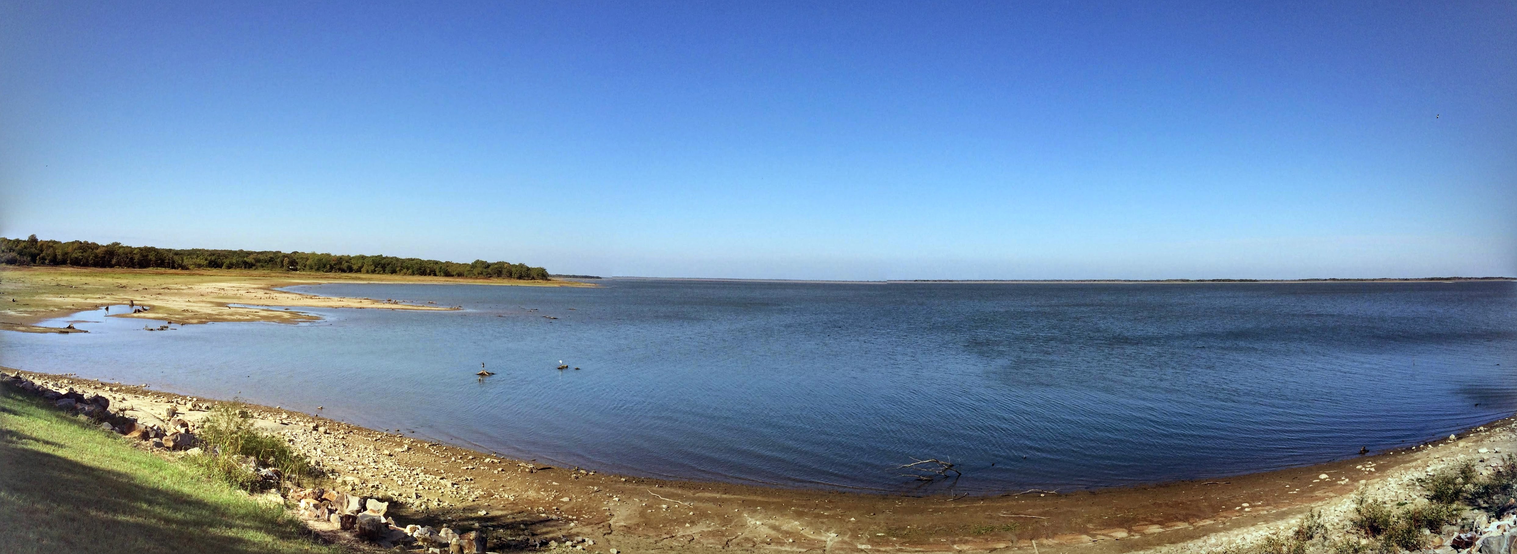
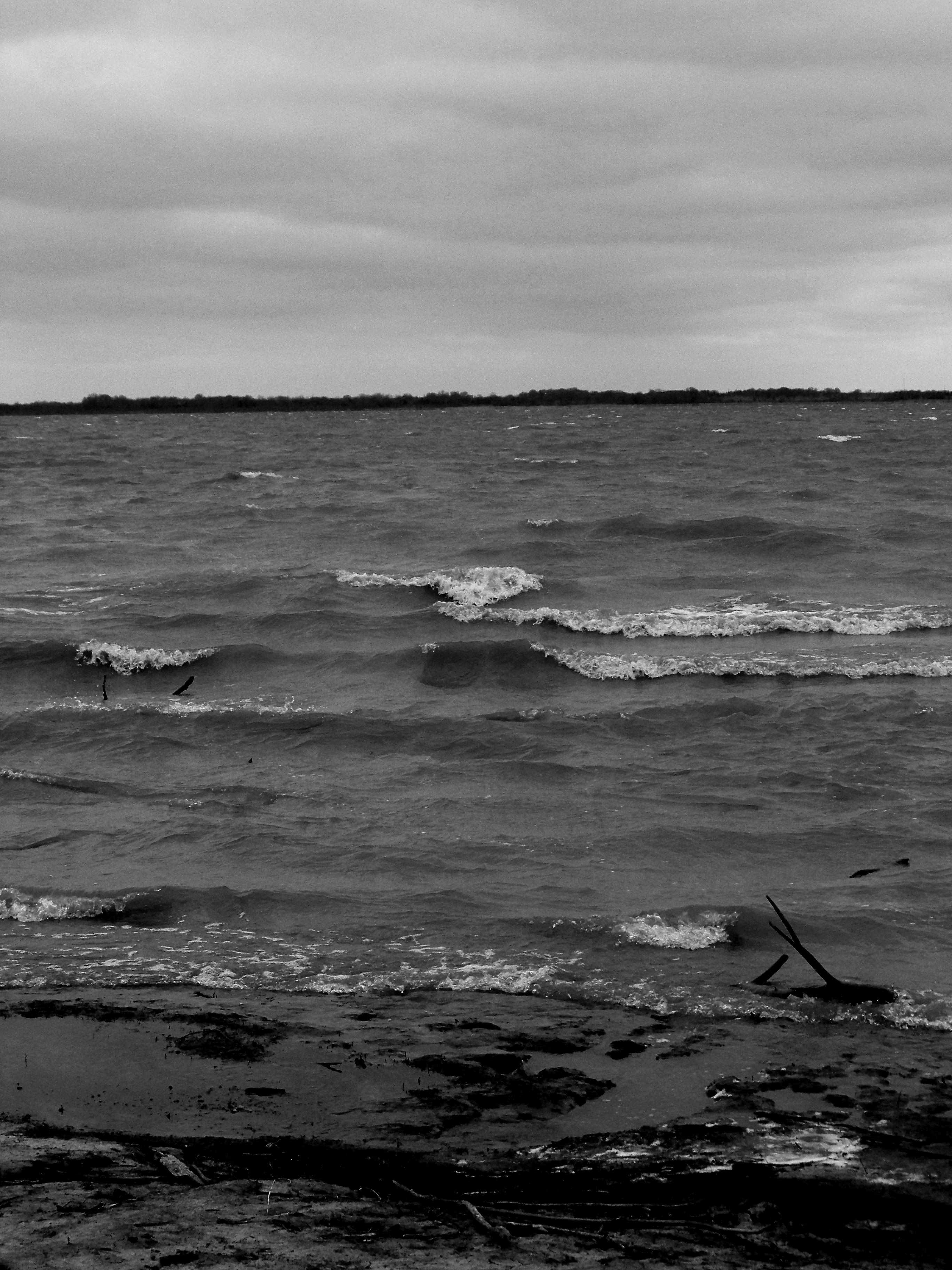
Cooper Lake

Cooper Lake

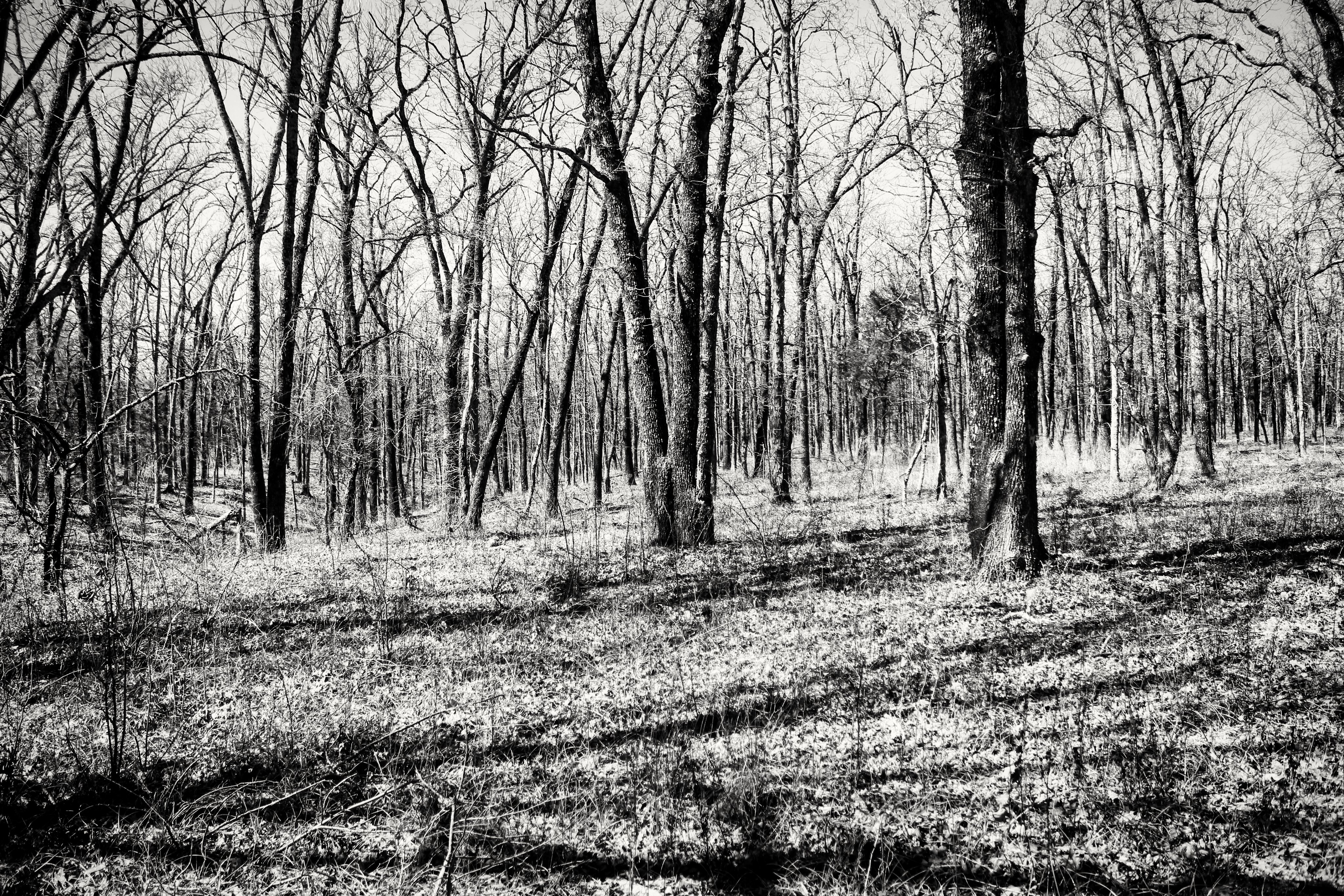
Old Oak IR treatment

Camping at Cooper Lake
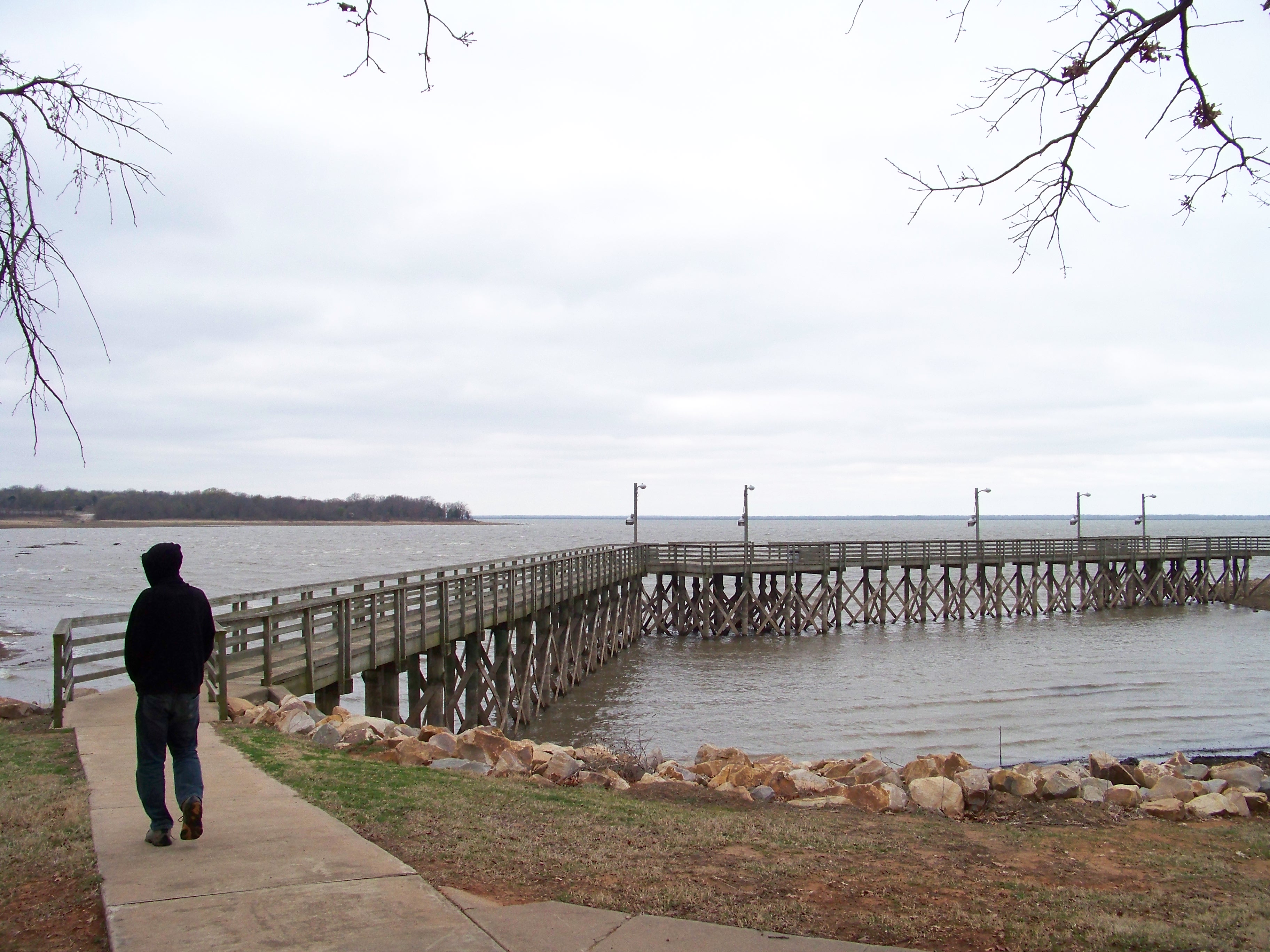
Camping at Cooper Lake
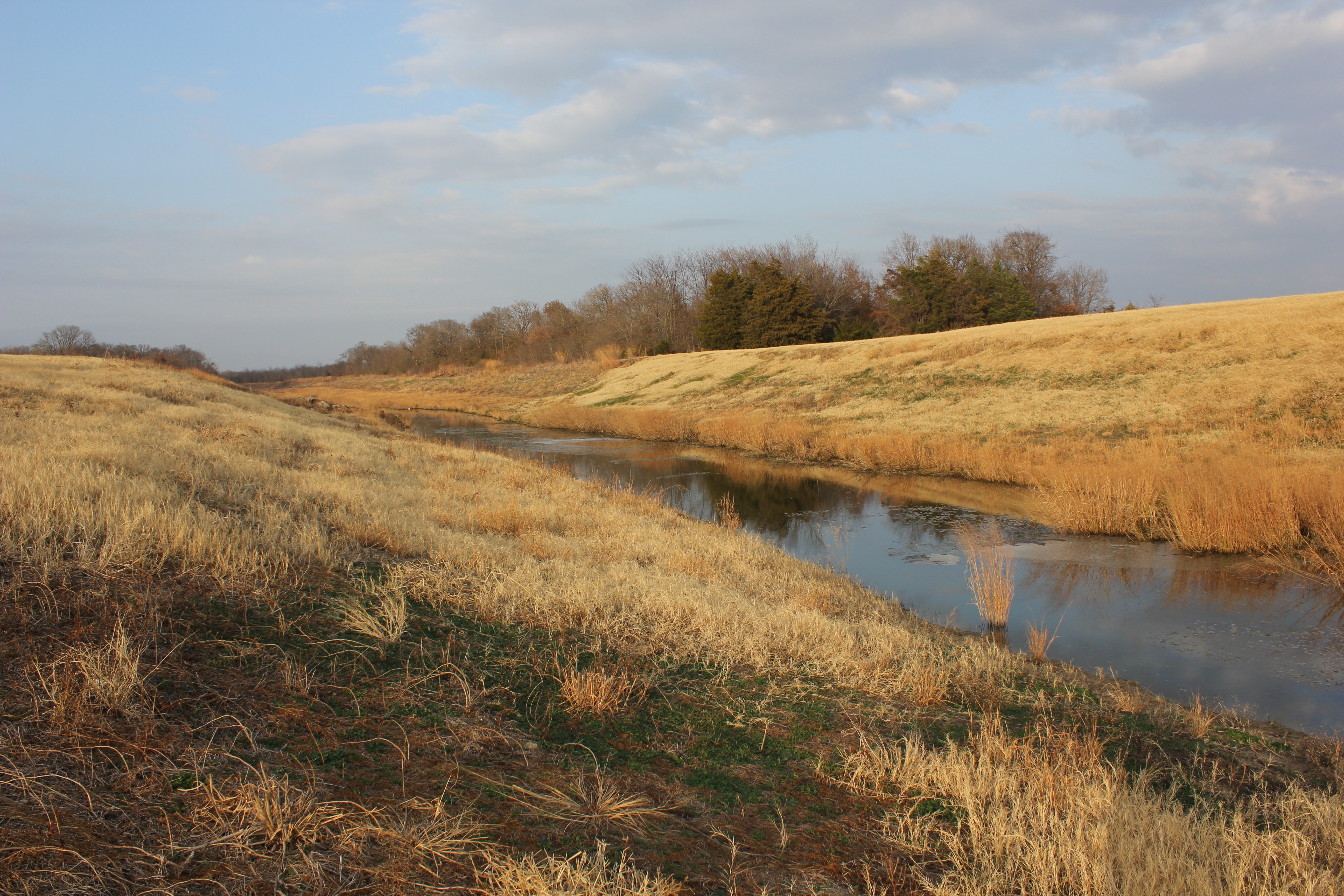
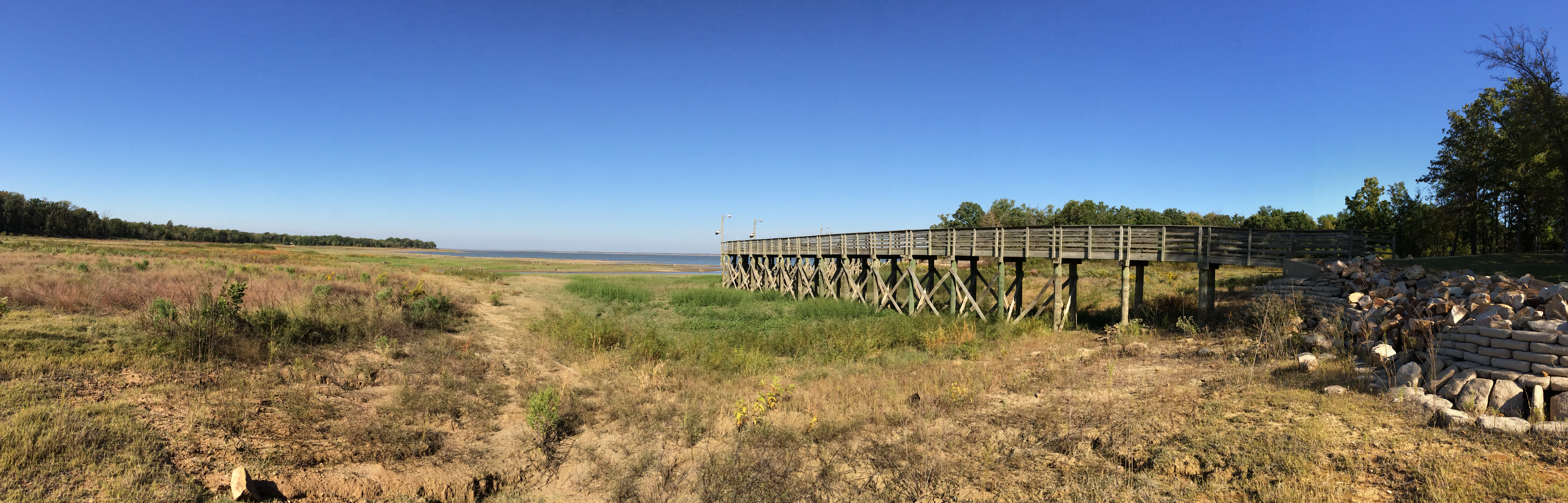
South Sulphur River

Oak Lawn Cemetery, Cooper, Texas
Camping at Cooper Lake

Lone Star Ponies
Cooper Lake

Lake Cooper

Storm Damage DJI00032

Cooper Sunset

Storm Damage DJI00035
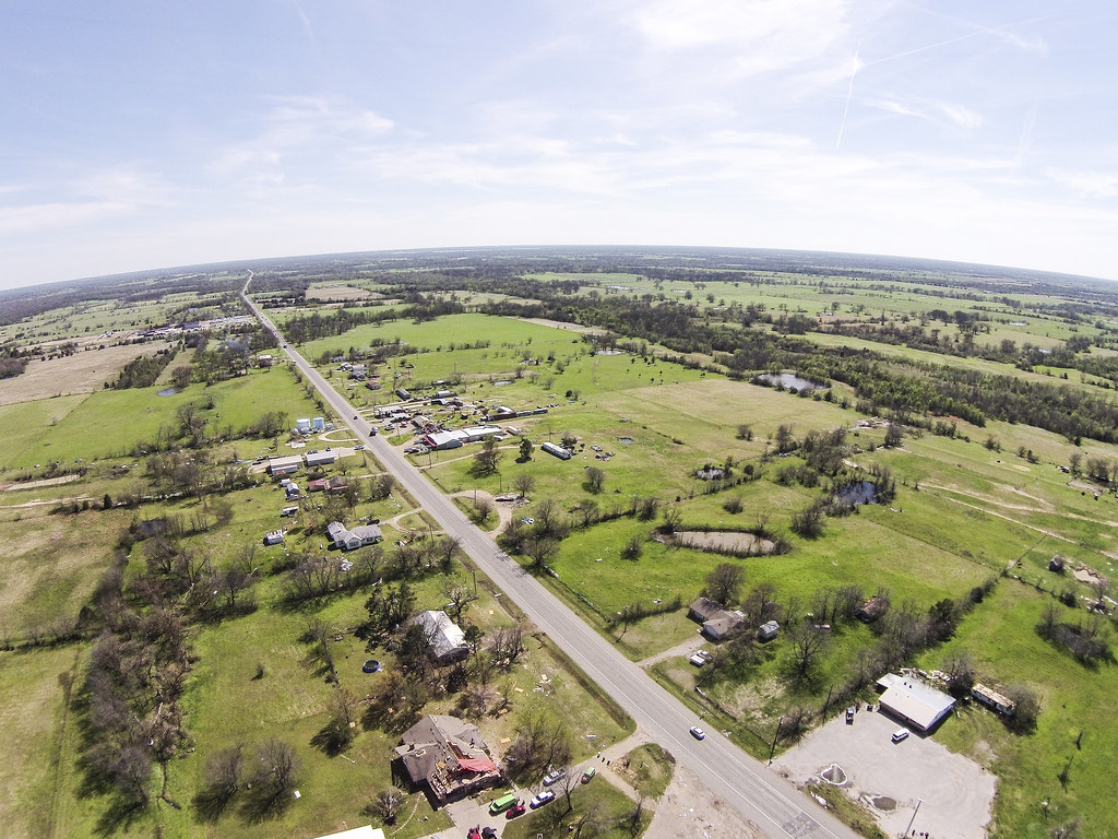
Tornado Damage DJI00056
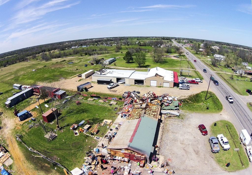
Tornado Damage DJI00025

Albino Indian Paintbrush
Camping at Cooper Lake
Topographic Map of FM 71, Sulphur Springs, TX, USA
Find elevation by address:

Places near FM 71, Sulphur Springs, TX, USA:
FM 71, Dike, TX, USA
Dike
Hopkins County
FM 69, Dike, TX, USA
163 Shiloh Ct
County Rd, Lake Creek, TX, USA
Church St, Sulphur Springs, TX, USA
Sulphur Springs
12469 W Farm Rd 71
La Quinta Inn & Suites Sulphur Springs
FM, Lake Creek, TX, USA
Lake Creek
64 FM, Lake Creek, TX, USA
490 Co Rd 2318
FR, Blossom, TX, USA
TX-24, Paris, TX, USA
Como
Saltillo
300 Spring Creek Cir
County Rd, Deport, TX, USA
Recent Searches:
- Elevation of Pykes Down, Ivybridge PL21 0BY, UK
- Elevation of Jalan Senandin, Lutong, Miri, Sarawak, Malaysia
- Elevation of Bilohirs'k
- Elevation of 30 Oak Lawn Dr, Barkhamsted, CT, USA
- Elevation of Luther Road, Luther Rd, Auburn, CA, USA
- Elevation of Unnamed Road, Respublika Severnaya Osetiya — Alaniya, Russia
- Elevation of Verkhny Fiagdon, North Ossetia–Alania Republic, Russia
- Elevation of F. Viola Hiway, San Rafael, Bulacan, Philippines
- Elevation of Herbage Dr, Gulfport, MS, USA
- Elevation of Lilac Cir, Haldimand, ON N3W 2G9, Canada