Elevation of Flughafen Gütersloh (GUT), Germany
Location: Germany > North Rhine-westphalia > Detmold > Gütersloh >
Longitude: 8.3073319
Latitude: 51.9220986
Elevation: 69m / 226feet
Barometric Pressure: 0KPa
Related Photos:
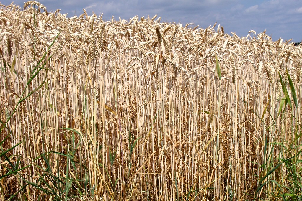
golden fields
Topographic Map of Flughafen Gütersloh (GUT), Germany
Find elevation by address:

Places near Flughafen Gütersloh (GUT), Germany:
Gütersloh
Kad Krankenhaus-altenheim-dienste Gmbh
Möllenbrocksweg
Rheda
Möllenbrocksweg 100a
Gildestraße 12, Herzebrock-Clarholz, Germany
Rheda-wiedenbrück
Brockhagen
Brockweg 129
Wiedenbrück
Brockhagener Str., Steinhagen, Germany
Gütersloh
Herzebrock
Harsewinkel
Sankt-vinzenz-straße 1
Herzebrock-clarholz
Kaiserforst 57, Rheda-Wiedenbrück, Germany
Hummelweg 3, Rheda-Wiedenbrück, Germany
Lintel
Steinhagen
Recent Searches:
- Elevation map of Greenland, Greenland
- Elevation of Sullivan Hill, New York, New York, 10002, USA
- Elevation of Morehead Road, Withrow Downs, Charlotte, Mecklenburg County, North Carolina, 28262, USA
- Elevation of 2800, Morehead Road, Withrow Downs, Charlotte, Mecklenburg County, North Carolina, 28262, USA
- Elevation of Yangbi Yi Autonomous County, Yunnan, China
- Elevation of Pingpo, Yangbi Yi Autonomous County, Yunnan, China
- Elevation of Mount Malong, Pingpo, Yangbi Yi Autonomous County, Yunnan, China
- Elevation map of Yongping County, Yunnan, China
- Elevation of North 8th Street, Palatka, Putnam County, Florida, 32177, USA
- Elevation of 107, Big Apple Road, East Palatka, Putnam County, Florida, 32131, USA
- Elevation of Jiezi, Chongzhou City, Sichuan, China
- Elevation of Chongzhou City, Sichuan, China
- Elevation of Huaiyuan, Chongzhou City, Sichuan, China
- Elevation of Qingxia, Chengdu, Sichuan, China
- Elevation of Corso Fratelli Cairoli, 35, Macerata MC, Italy
- Elevation of Tallevast Rd, Sarasota, FL, USA
- Elevation of 4th St E, Sonoma, CA, USA
- Elevation of Black Hollow Rd, Pennsdale, PA, USA
- Elevation of Oakland Ave, Williamsport, PA, USA
- Elevation of Pedrógão Grande, Portugal