Elevation map of Florida, Bolivia
Location: Bolivia > Santa Cruz Department >
Longitude: -63.864056
Latitude: -18.136359
Elevation: 2099m / 6886feet
Barometric Pressure: 79KPa
Elevation Map:
Satellite Map:
Related Photos:
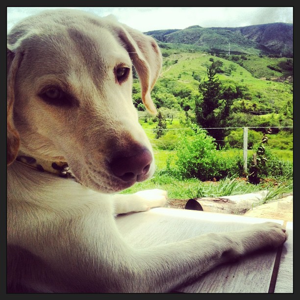
Contemplating the beauty of nature! #Sofie #lab #labrador #instapets #pets #animals #landscape #mountains #view #samaipata
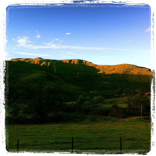
View from the office for the next few days
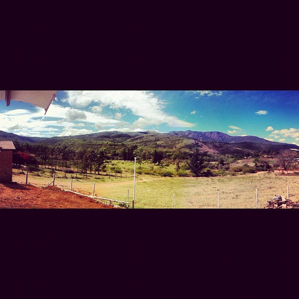
Panoramic view from the cabin
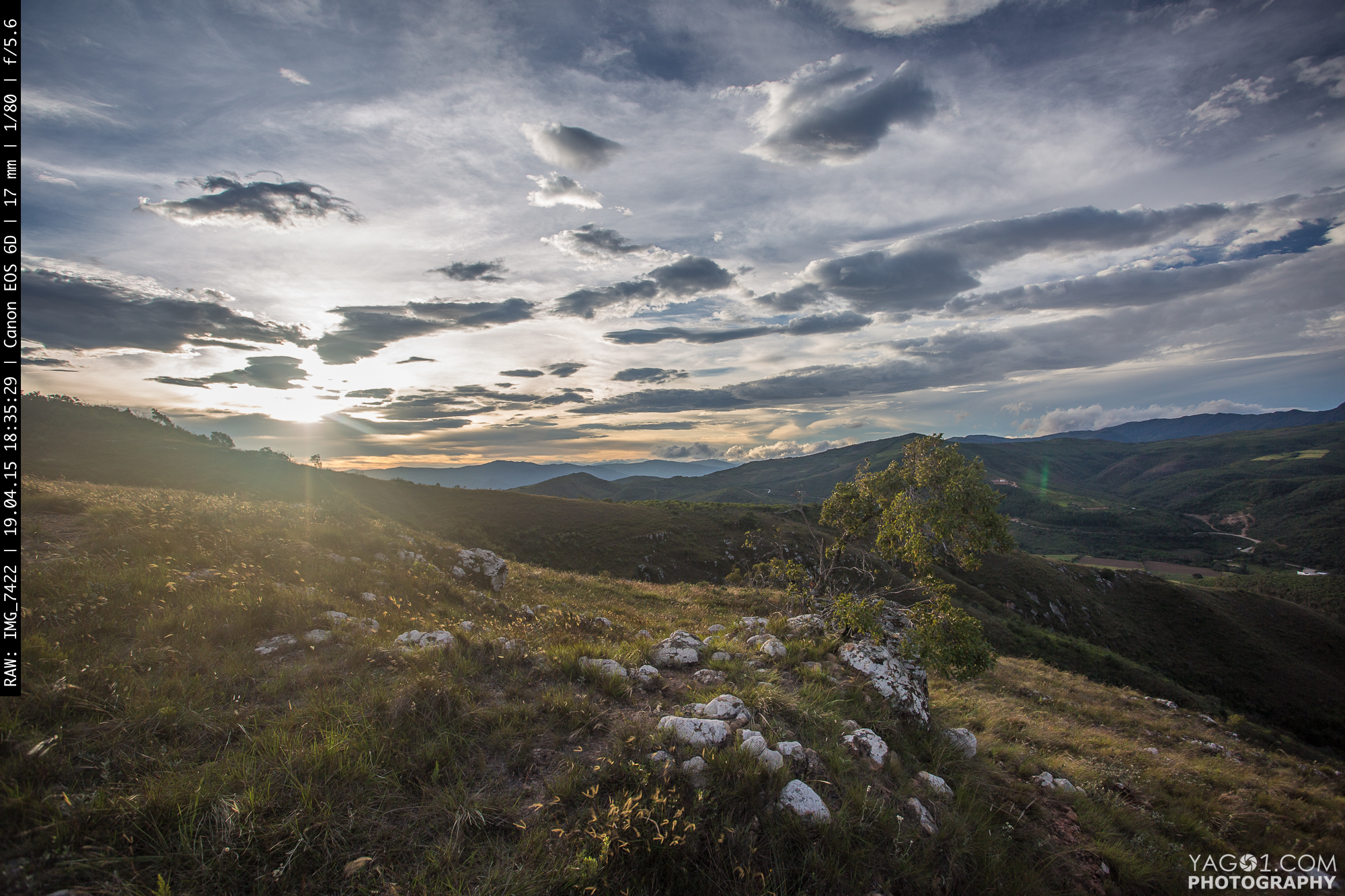
Sun-Set near Samaipata Bolivia
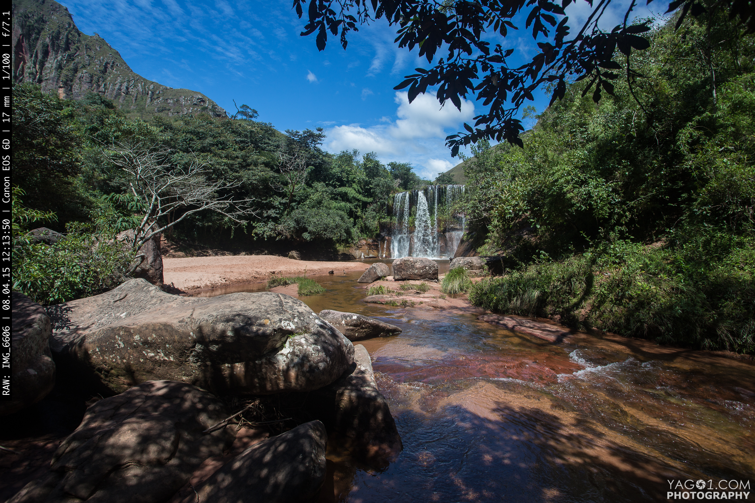
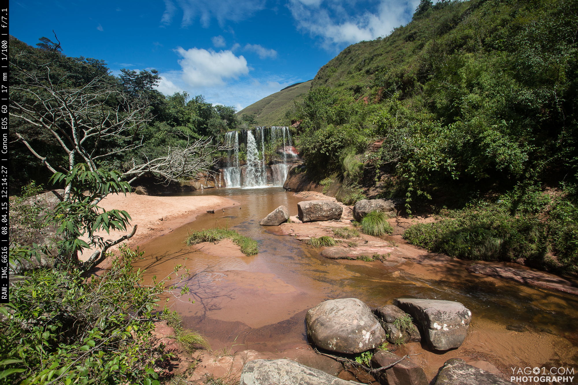
The Cuevas Waterfall
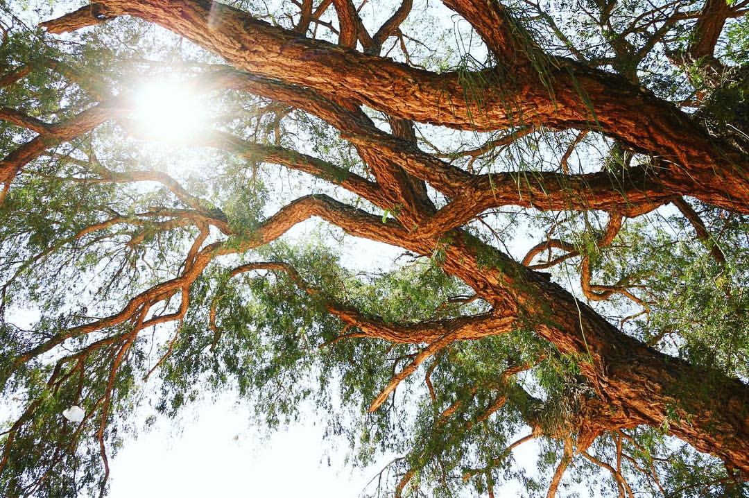
Breathing clean air | #tree #treelover #treelove #nature #landscape #green #shadowhunters #light #sunlight #picoftheday #photooftheday #like #follow #Follow_me #likeforlike #ig #instagram #igers #bolivia #southamerica #SantaCruzdelaSierra #scz #countrylif
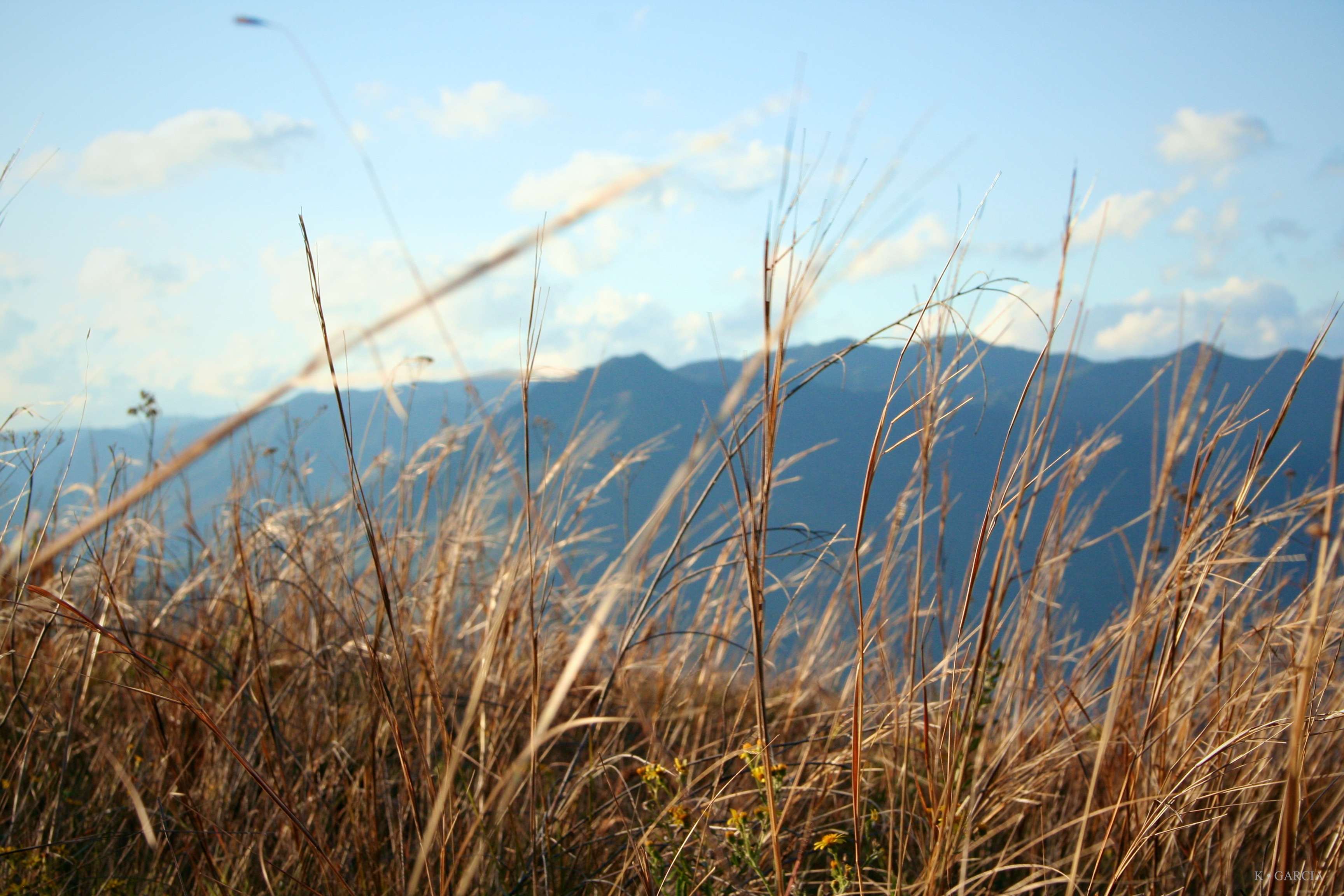
Where the Wind Blows
Cuevas Catarata Amazonas Bolivia
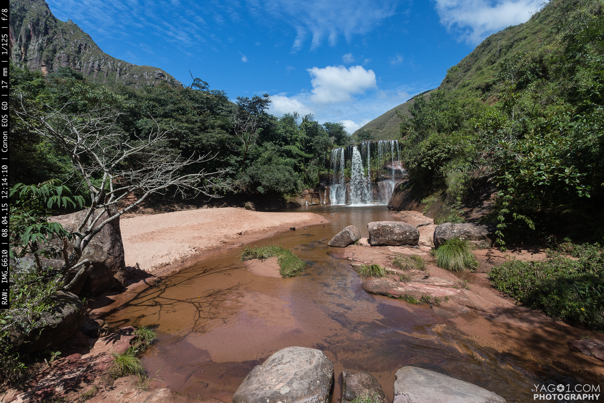
Cuevas Waterfall in Bolivia
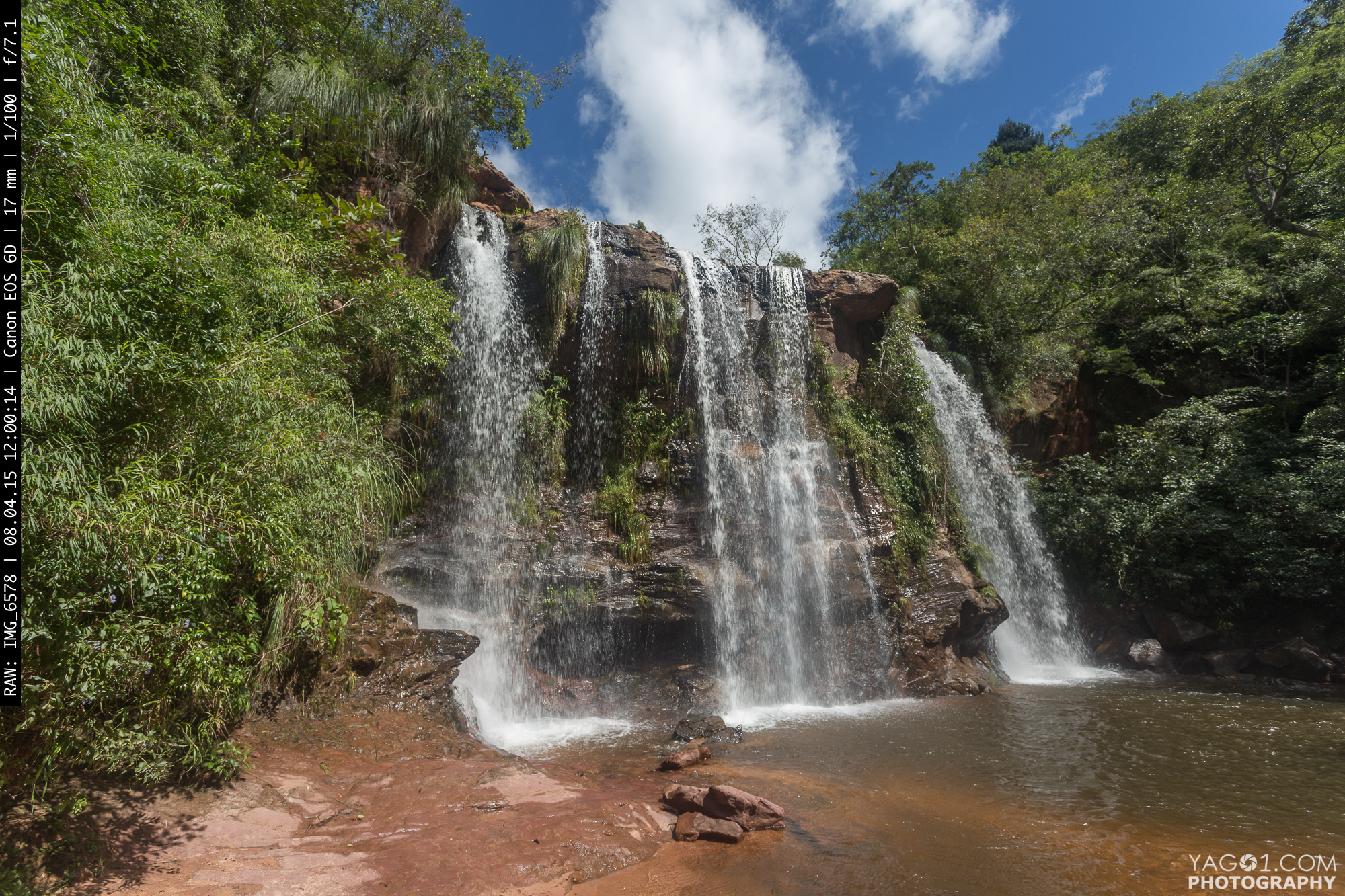
Anden Waterfall in Bolivia

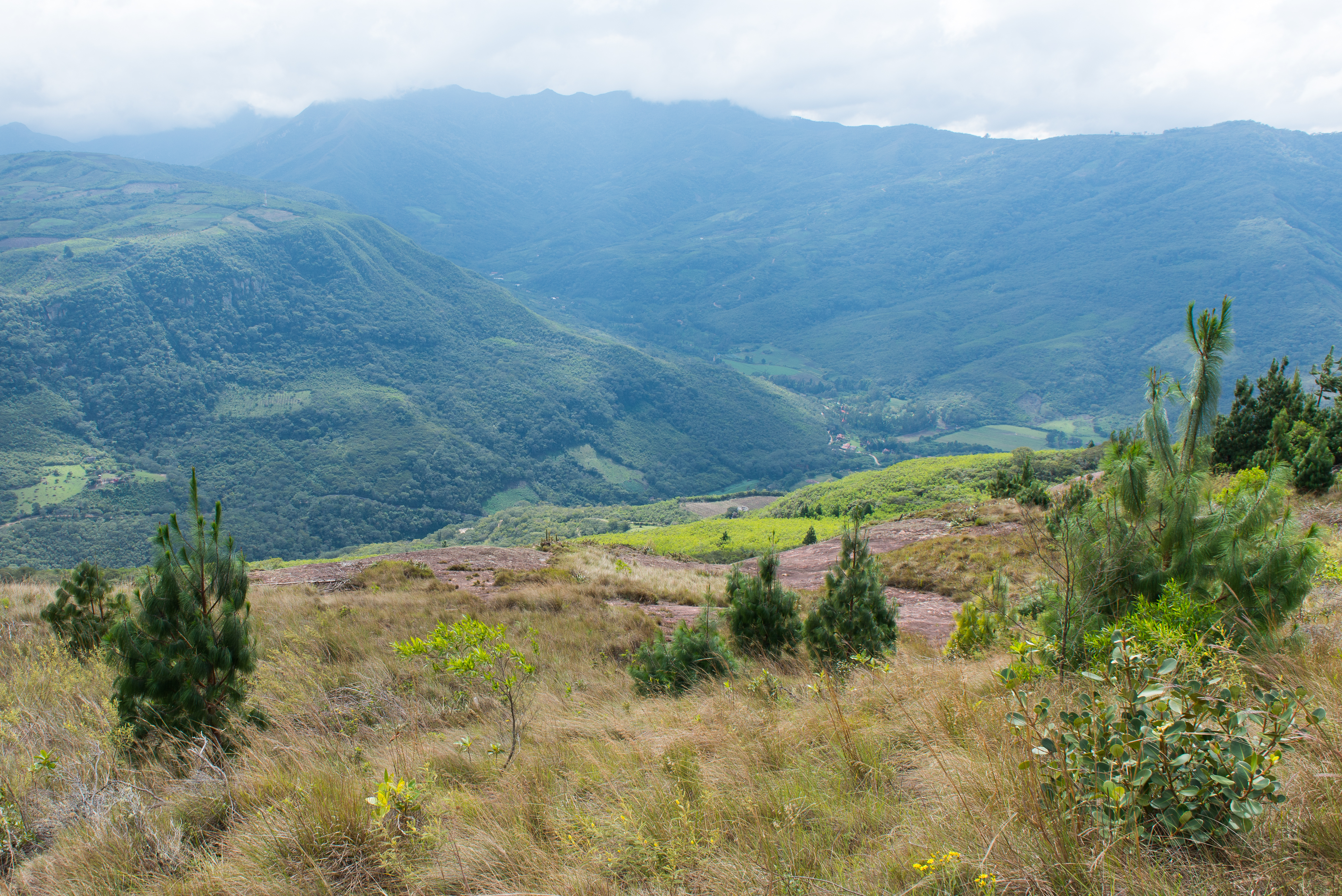
Cuevas Valley in the mountains of Bolivia
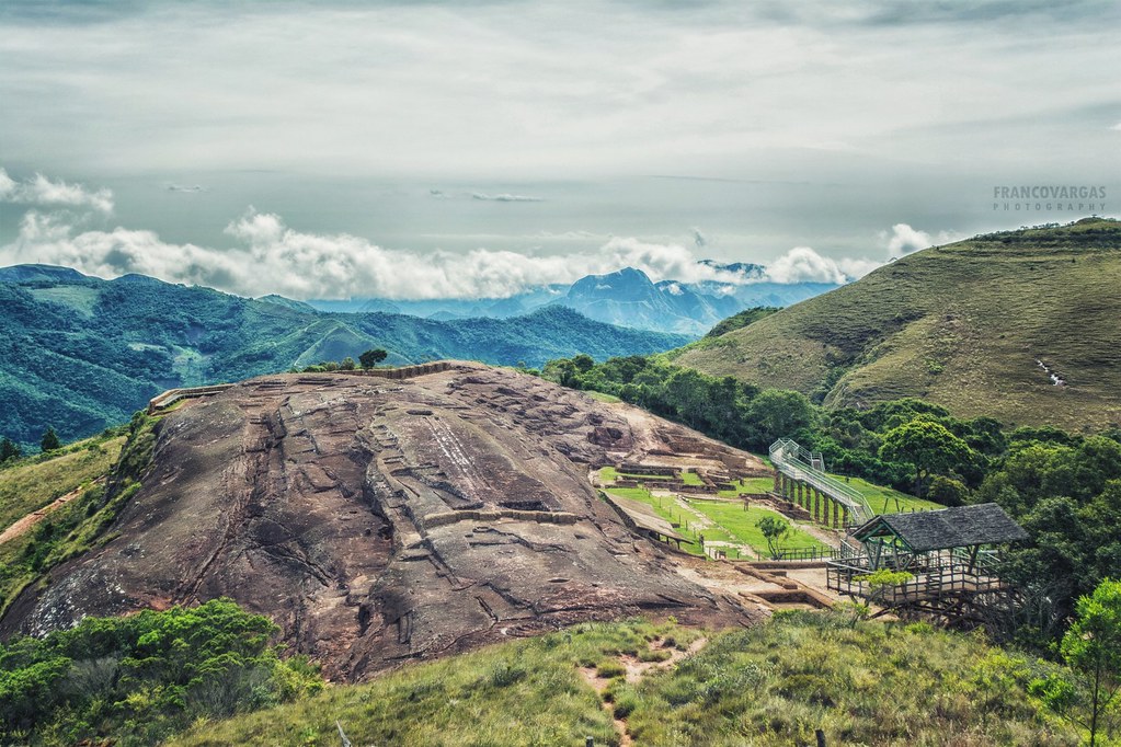
El Fuerte
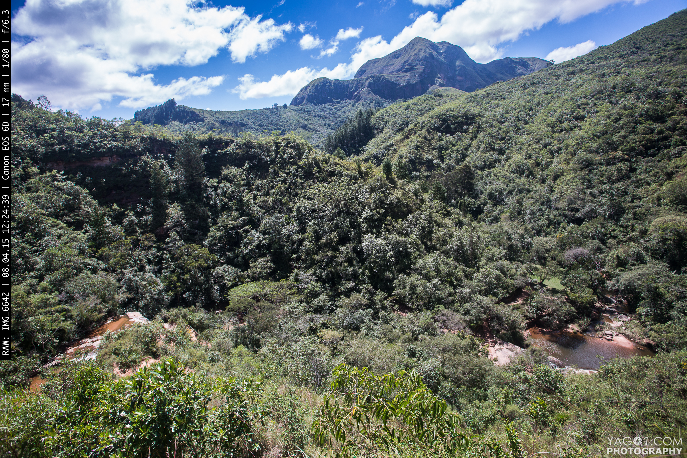
Cuevas Valley with Waterfalls

bolivia 1676

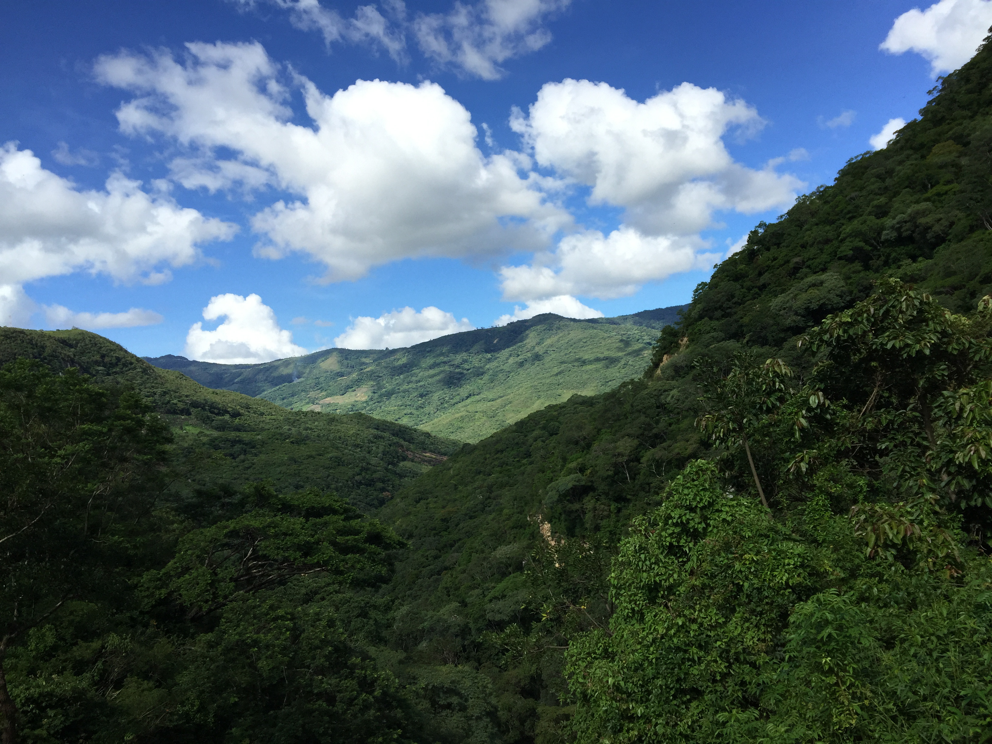
Mountains of Bolivia
DSC_0902.jpg
Samaipata, Bolivia
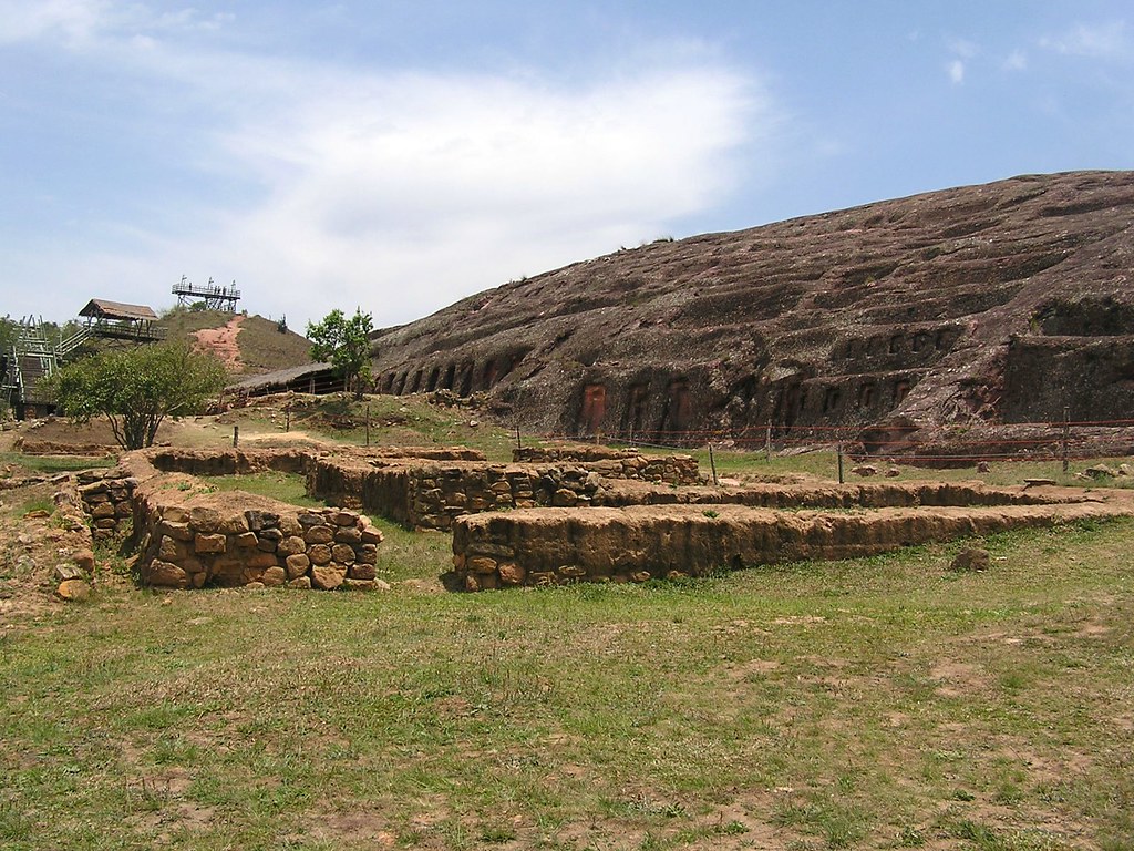
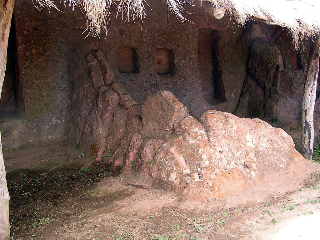
El Fuerte de Samaipata
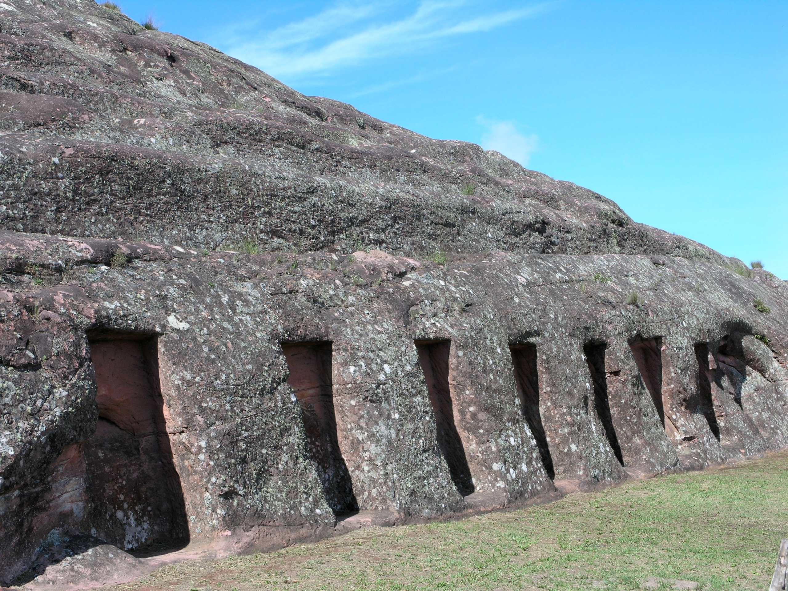
El Fuerte, Pre-Incan Archeologic Ruins approx 1500 BC; near Samaipata, Departamento de Santa Cruz, Bolivia

Bolivia 2014
El Fuerte de Samaipata

Samaipata, Bolivia
Topographic Map of Florida, Bolivia
Find elevation by address:

Places in Florida, Bolivia:
Places near Florida, Bolivia:
Samaipata
Refugio Los Volcanes
Rio Piray
Tambo
Provincia De Andrés Ibáñez
Manuel María Caballero
Comarapa
Pirai River
Recent Searches:
- Elevation of Leguwa, Nepal
- Elevation of County Rd, Enterprise, AL, USA
- Elevation of Kolchuginsky District, Vladimir Oblast, Russia
- Elevation of Shustino, Vladimir Oblast, Russia
- Elevation of Lampiasi St, Sarasota, FL, USA
- Elevation of Elwyn Dr, Roanoke Rapids, NC, USA
- Elevation of Congressional Dr, Stevensville, MD, USA
- Elevation of Bellview Rd, McLean, VA, USA
- Elevation of Stage Island Rd, Chatham, MA, USA
- Elevation of Shibuya Scramble Crossing, 21 Udagawacho, Shibuya City, Tokyo -, Japan