Elevation of Florø, Norway
Location: Norway > Vestland >
Longitude: 5.0314409
Latitude: 61.5994886
Elevation: 4m / 13feet
Barometric Pressure: 101KPa
Elevation Map:
Satellite Map:
Related Photos:
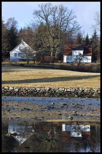
Tween Mirror
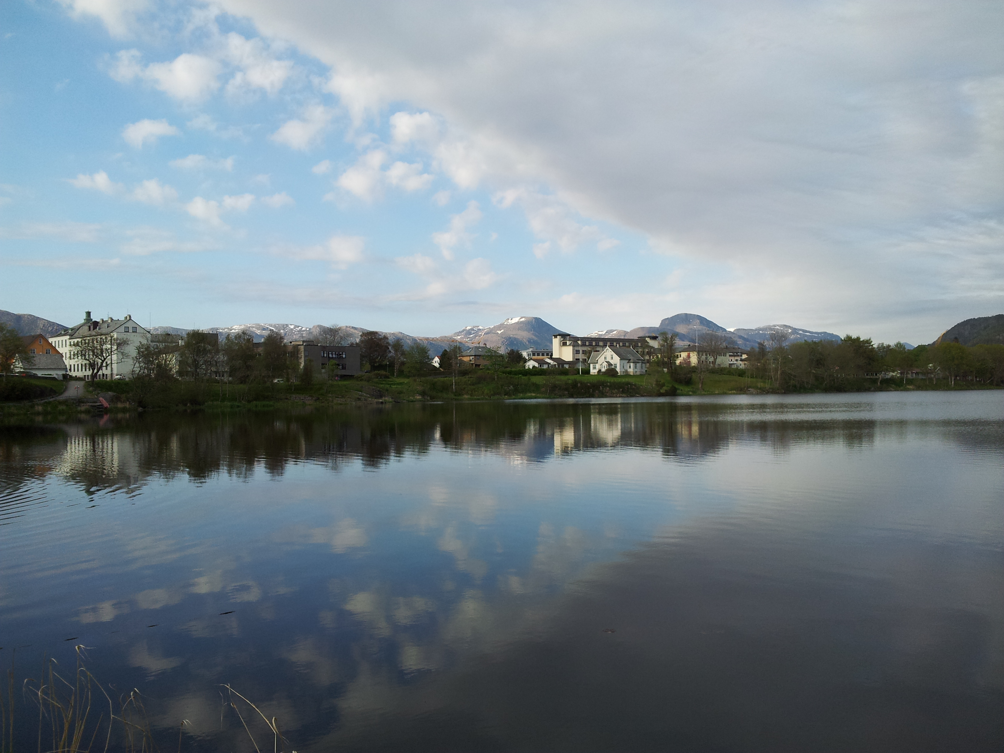
Morning mirror
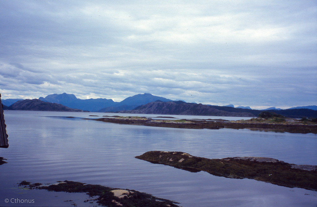
Great view
Clear view
View from my room
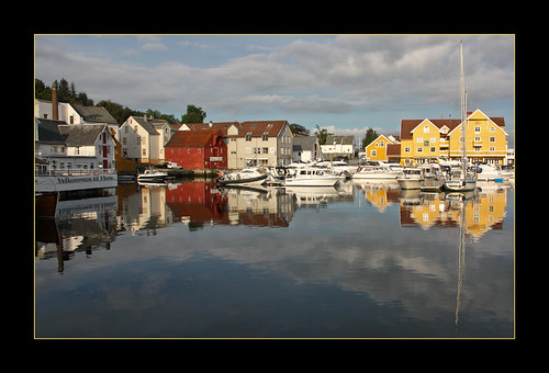
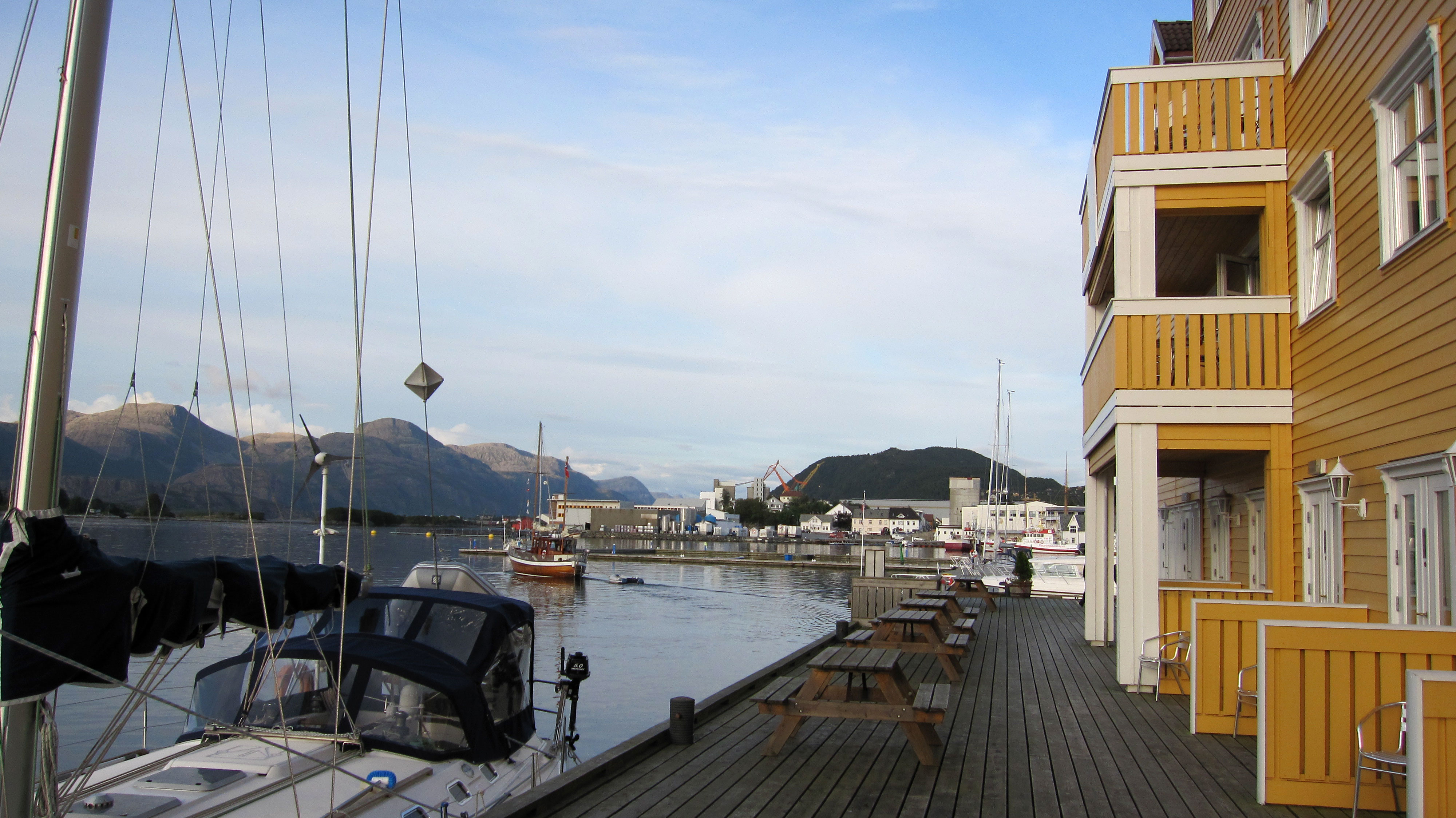
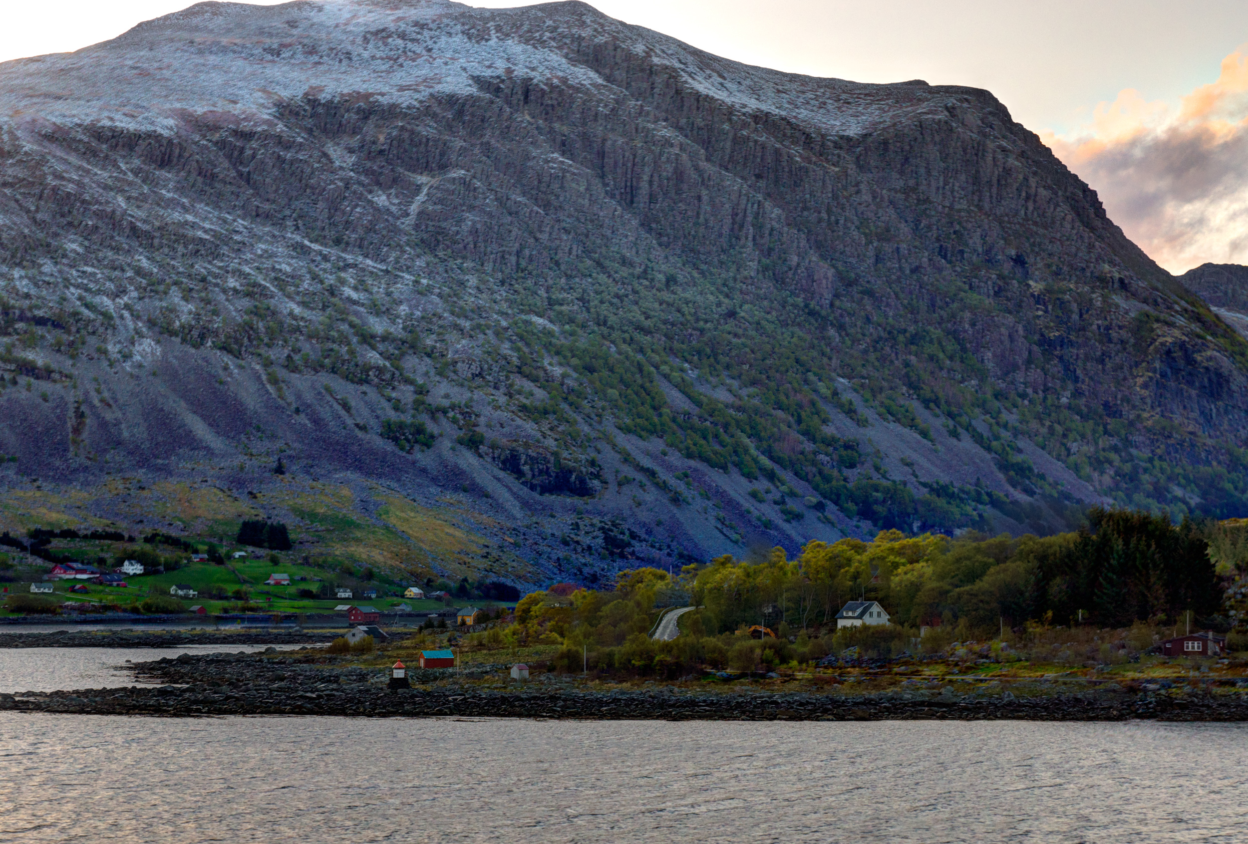
Florø
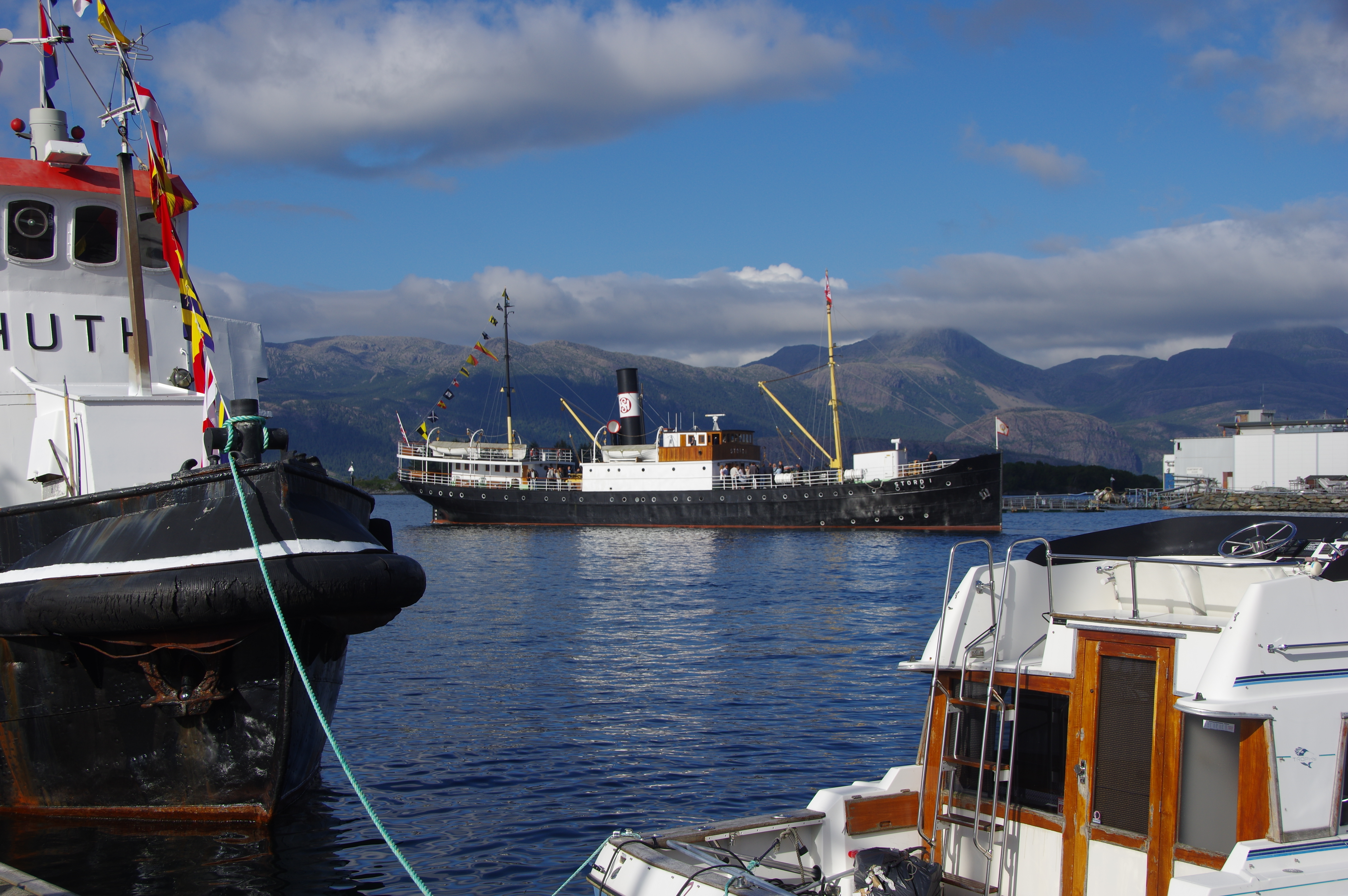
Veteran vessel "Stord I"

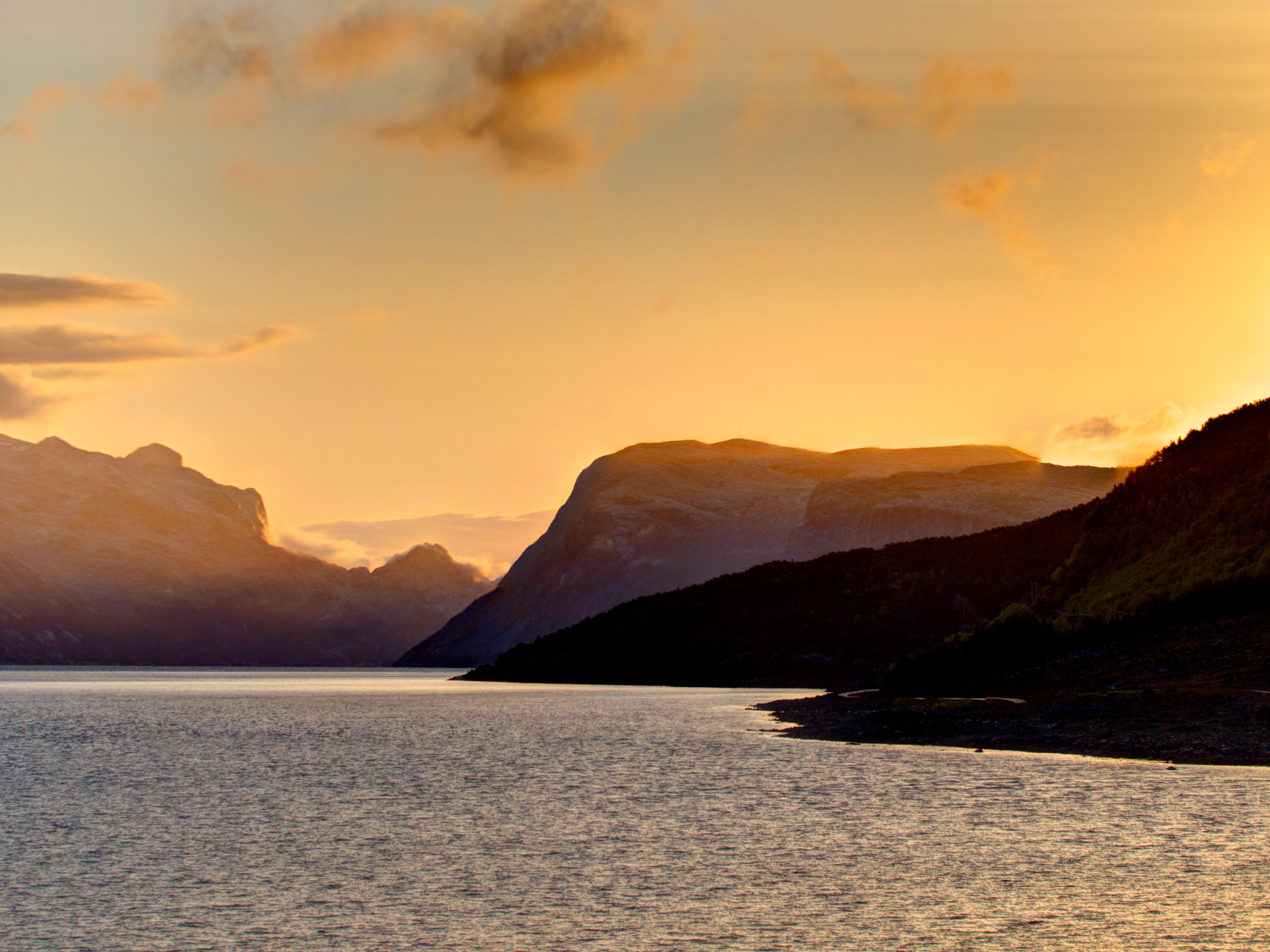
Pine sunset
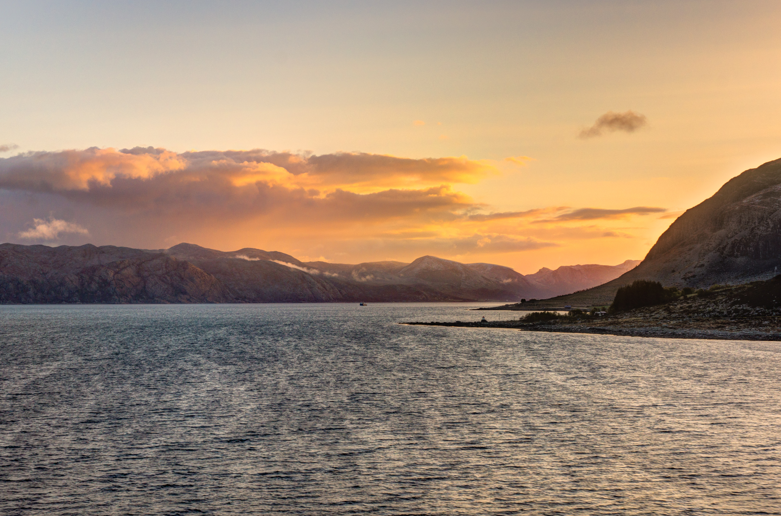
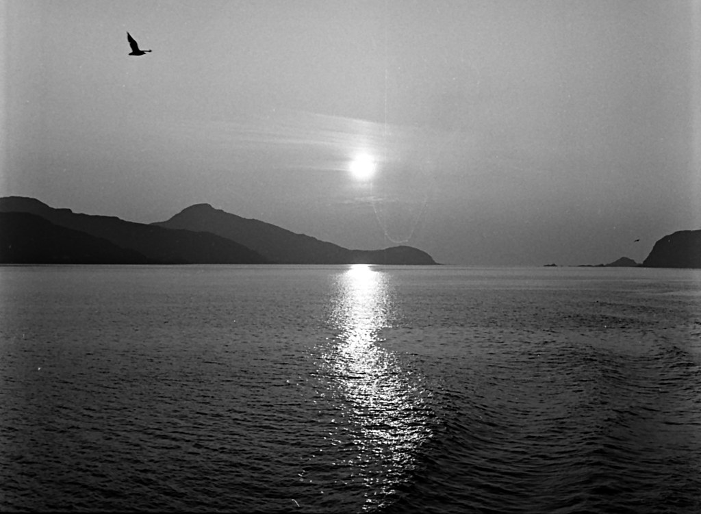
Sunrise starting
Sunrise...

Ytterøyane fyr
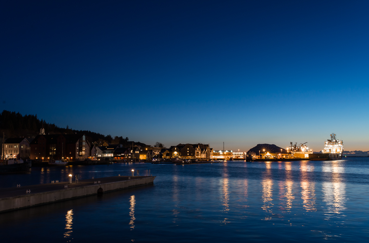
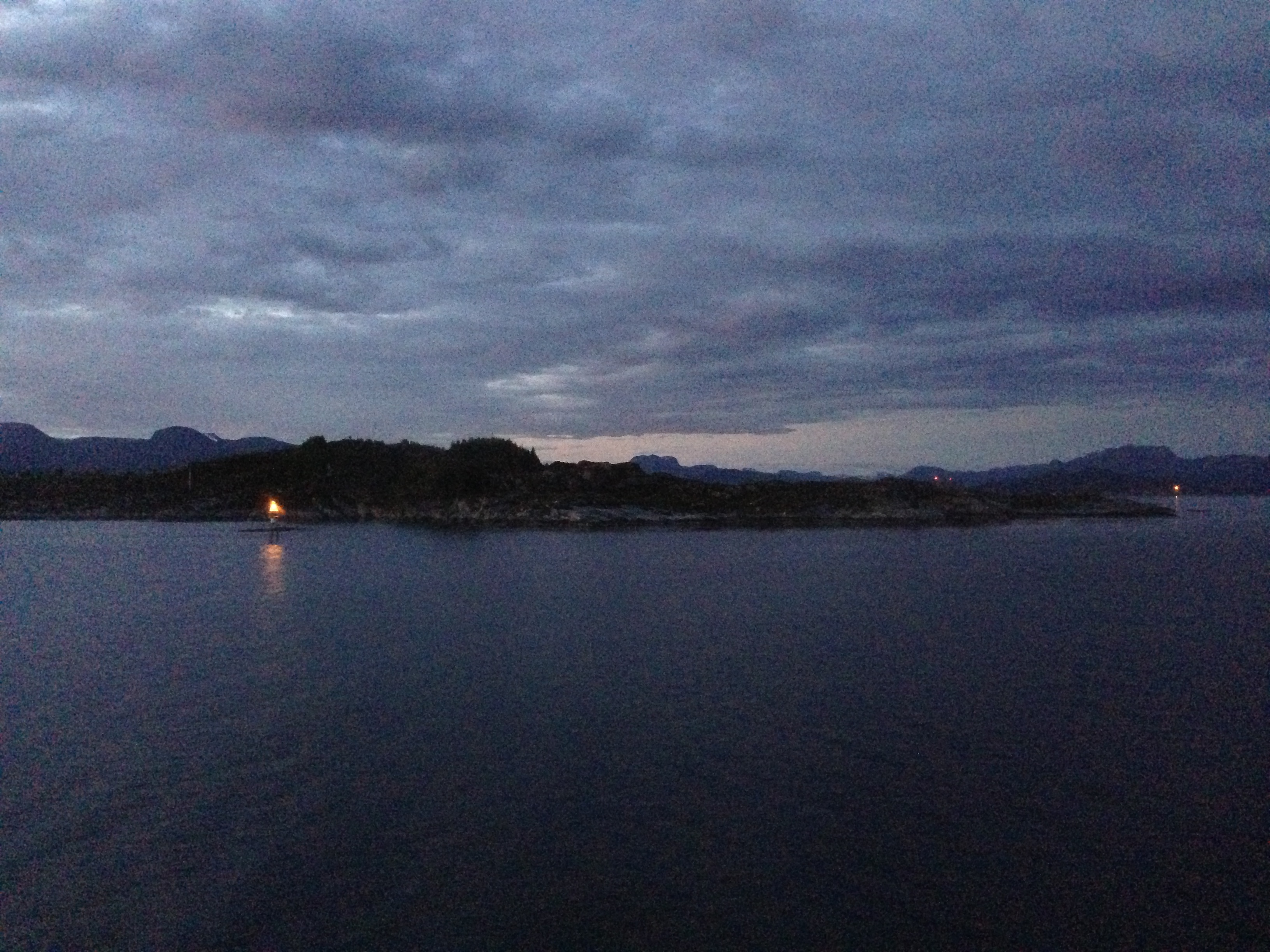
Late night at the harbor.
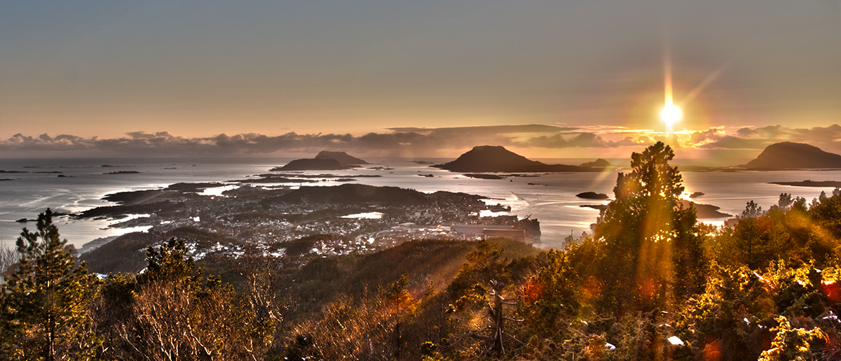
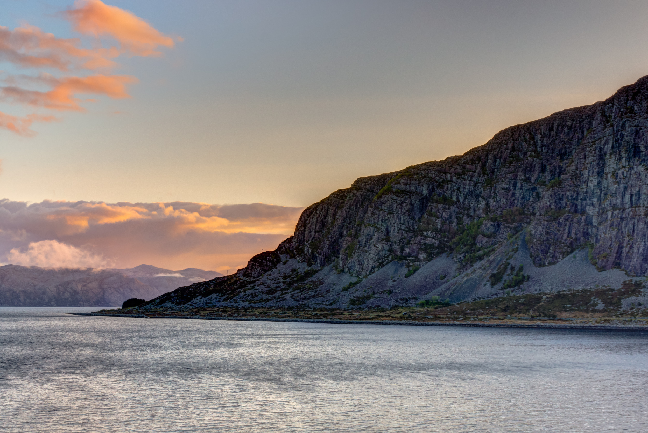
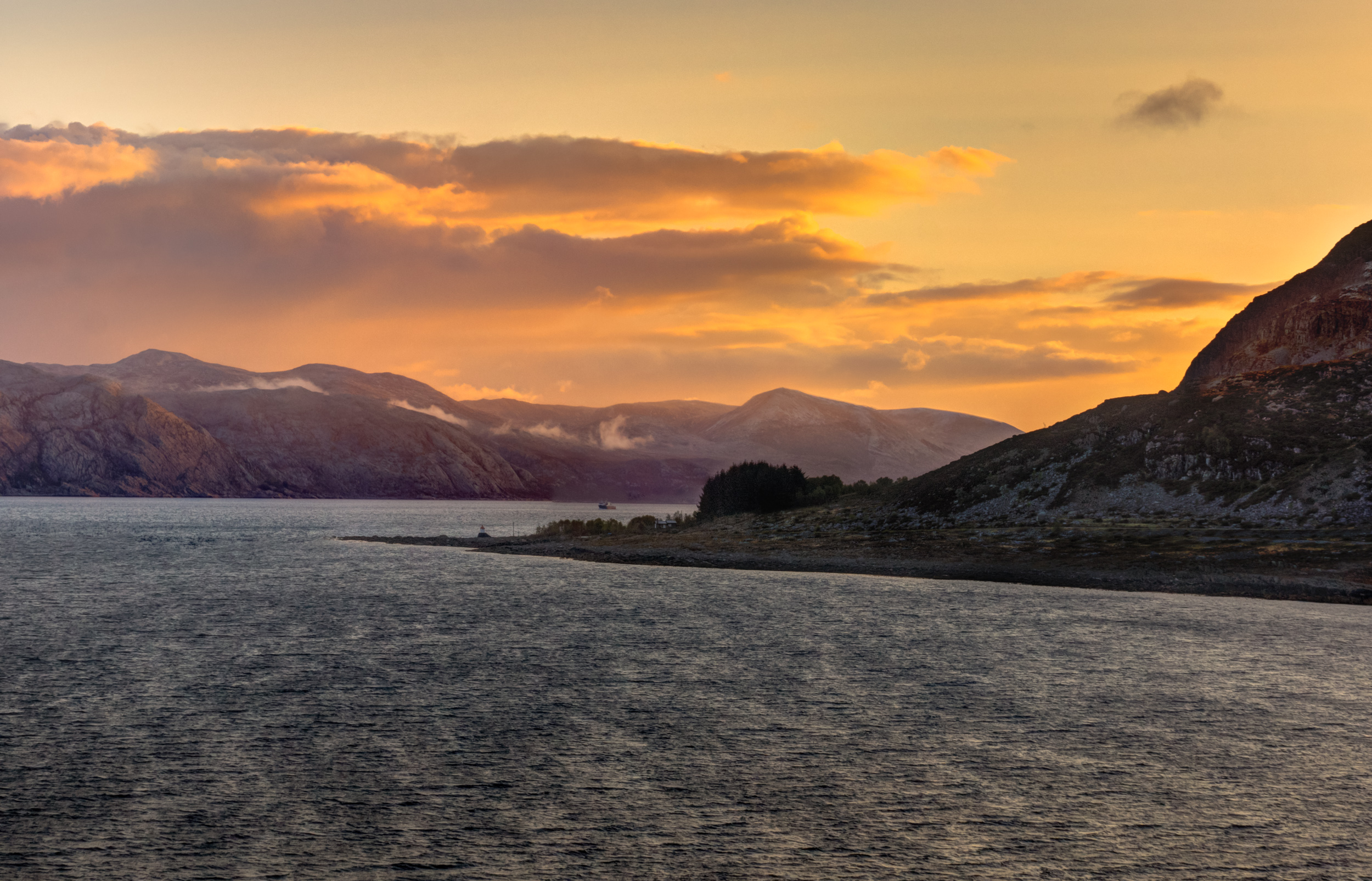
Sunset over Florø (HDR)
Setting sun near Florø, Norway

.comp2.
2013-06-16

Kinn 6

Kinn 3

Kinn 4
Small Valleys
Pond.
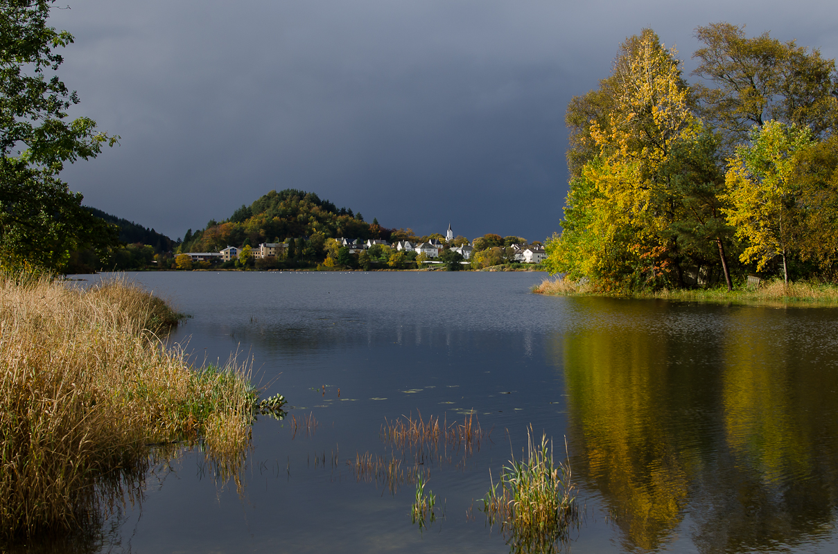
I oktober
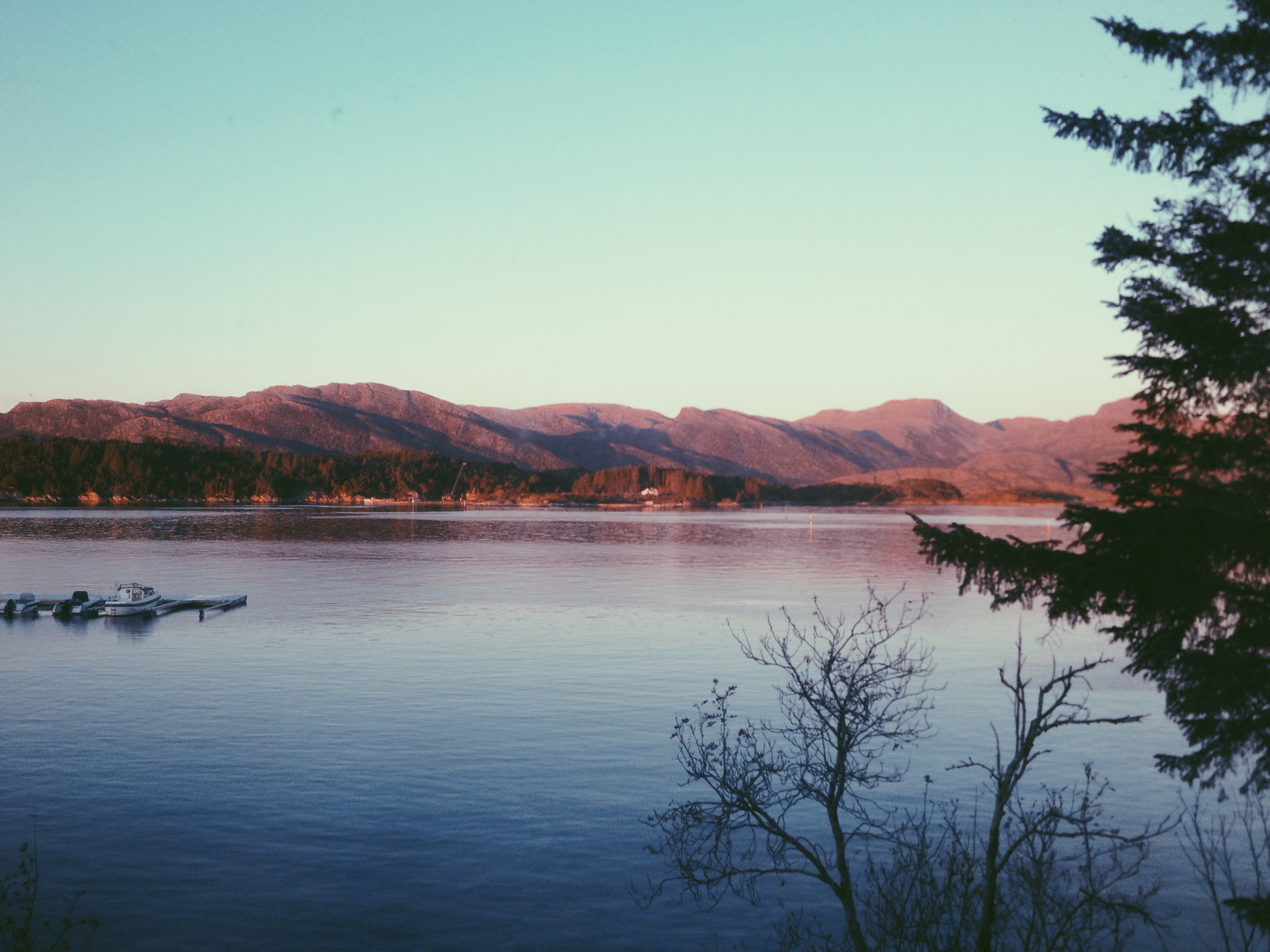
Photo 14.10.14 18 14 35
Topographic Map of Florø, Norway
Find elevation by address:

Places near Florø, Norway:
Firdavegen 17
Fjaler
Fv32, Krakhella, Norway
Hyllestad
Nautsund
Rv57, Leirvik i Sogn, Norway
Gulen
Lavik
Solund
Ytre Oppedal
Fv2 90, Brekke, Norway
Fv, Haugsvær, Norway
Masfjorden
Radøy
Fv, Bøvågen, Norway
Nygjerdet, Hernar, Norway
Rv, Sæbøvågen, Norway
Alver
Seim, Hordaland
Fv 10, Sæbøvågen, Norway
Recent Searches:
- Elevation of Pykes Down, Ivybridge PL21 0BY, UK
- Elevation of Jalan Senandin, Lutong, Miri, Sarawak, Malaysia
- Elevation of Bilohirs'k
- Elevation of 30 Oak Lawn Dr, Barkhamsted, CT, USA
- Elevation of Luther Road, Luther Rd, Auburn, CA, USA
- Elevation of Unnamed Road, Respublika Severnaya Osetiya — Alaniya, Russia
- Elevation of Verkhny Fiagdon, North Ossetia–Alania Republic, Russia
- Elevation of F. Viola Hiway, San Rafael, Bulacan, Philippines
- Elevation of Herbage Dr, Gulfport, MS, USA
- Elevation of Lilac Cir, Haldimand, ON N3W 2G9, Canada