Elevation of Flinton, PA, USA
Location: United States > Pennsylvania >
Longitude: -78.519743
Latitude: 40.7142299
Elevation: 436m / 1430feet
Barometric Pressure: 96KPa
Elevation Map:
Satellite Map:
Related Photos:

Enjoying the view

{beach scenes} my view.
View from the top.
"Mountain top view"

20090705-K10D-8540_2000px

view from the pew
Glasgow (panoramic) - May 1976

homeland cross cut
Glendale Lake, Prince Gallitzin State Park
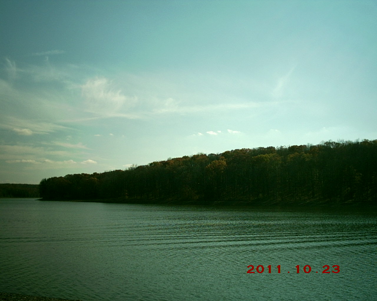
Glendale Lake, Prince Gallitzin State Park

Super Nova

Blacksnake Road
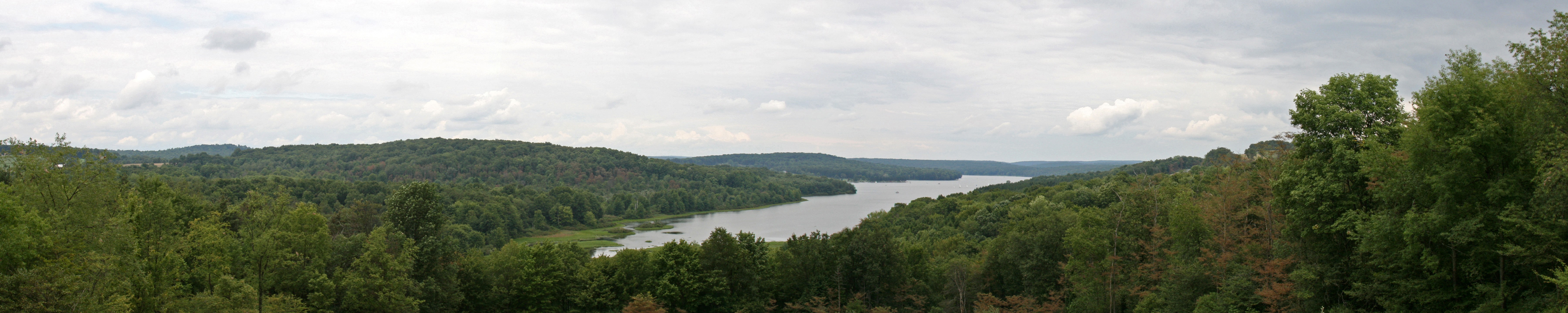
Prince Gallitzin Panorama 2

Throwing a Stone
Prince Gallitzin State Park

IMG_1233.JPG
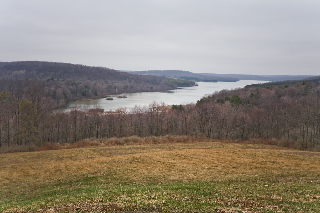
Mud Lick Overlook
Topographic Map of Flinton, PA, USA
Find elevation by address:

Places near Flinton, PA, USA:
Sr, Coalport, PA, USA
Coalport
21 Jackson St
155 Troxell Springs Rd
Kibler Lake Road
131 Lark Lane
Beccaria Township
Reade Township
890 Logging Rd 11135
Smithmill
Blandburg
Gulich Township
1915 Wopsy Rd
1915 Wopsy Rd
Rock Run Recreation Area
Patton
Magee Ave, Patton, PA, USA
Westover
Westover
Westover
Recent Searches:
- Elevation of Hercules Dr, Colorado Springs, CO, USA
- Elevation of Szlak pieszy czarny, Poland
- Elevation of Griffing Blvd, Biscayne Park, FL, USA
- Elevation of Kreuzburger Weg 13, Düsseldorf, Germany
- Elevation of Gateway Blvd SE, Canton, OH, USA
- Elevation of East W.T. Harris Boulevard, E W.T. Harris Blvd, Charlotte, NC, USA
- Elevation of West Sugar Creek, Charlotte, NC, USA
- Elevation of Wayland, NY, USA
- Elevation of Steadfast Ct, Daphne, AL, USA
- Elevation of Lagasgasan, X+CQH, Tiaong, Quezon, Philippines