Elevation of Fleur-De-Lis Rd, Coulterville, IL, USA
Location: United States > Illinois > Perry County > Swanwick >
Longitude: -89.494800
Latitude: 38.1428138
Elevation: 165m / 541feet
Barometric Pressure: 99KPa
Elevation Map:
Satellite Map:
Related Photos:

Franklin Cemetery

The shortest distance between points...

Temple School
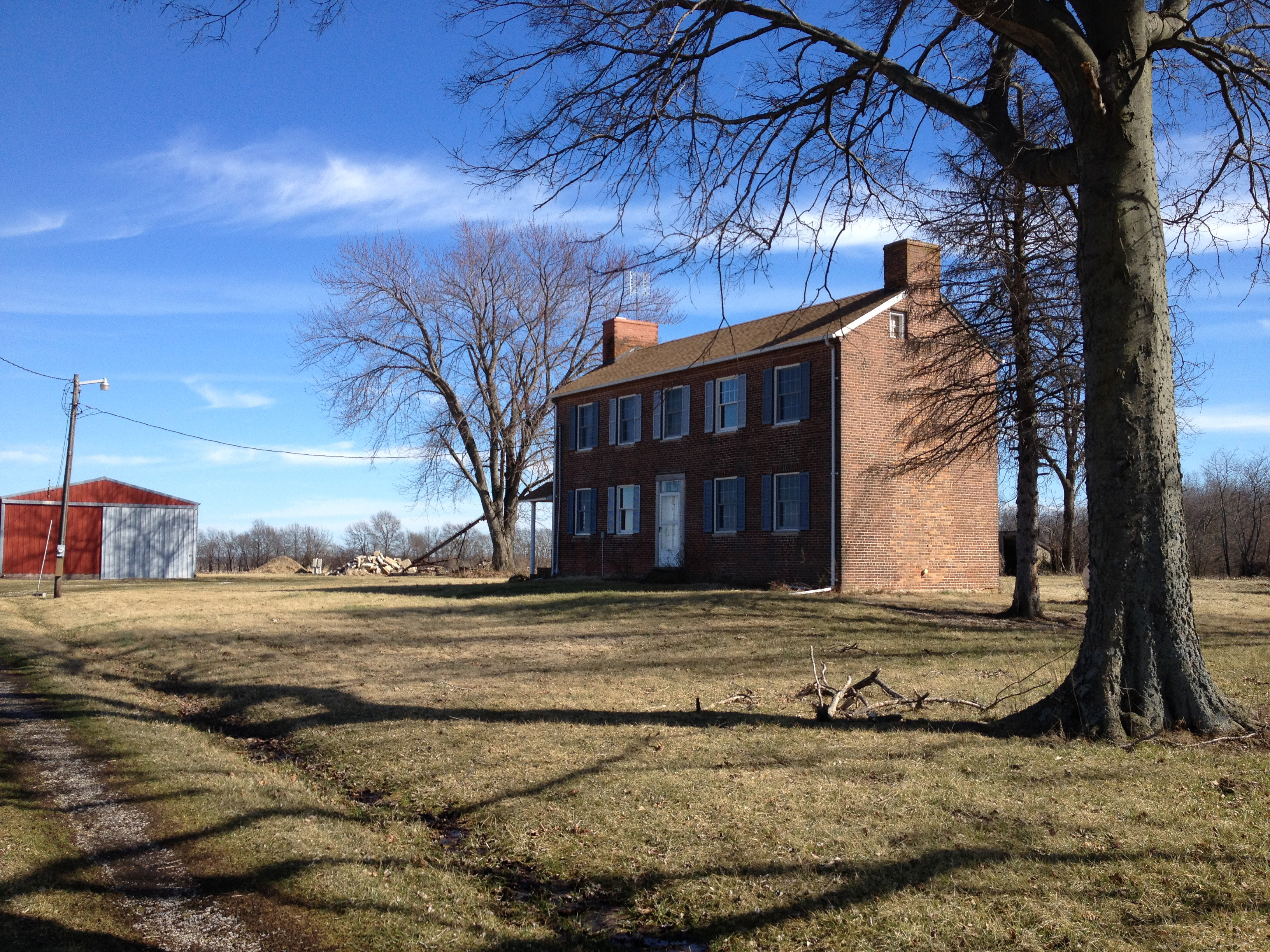
Underground Railroad house

Easter egg factory
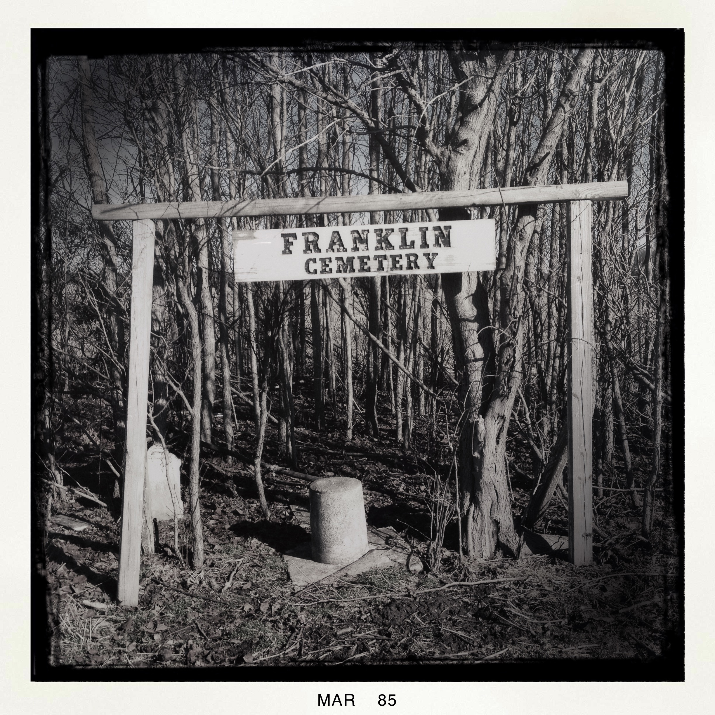
Franklin Cemetery
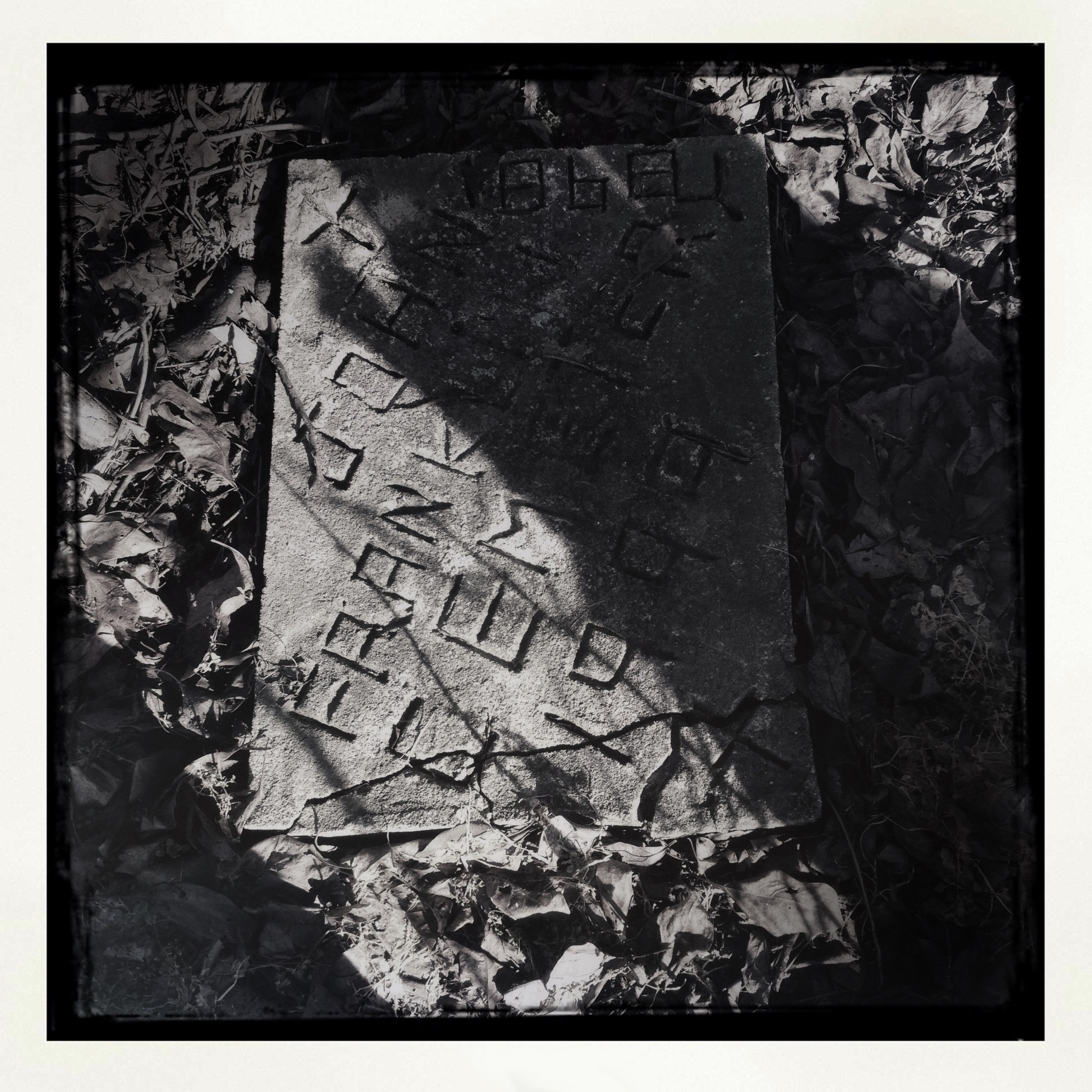
Franklin Cemetery stone

Luney School

Temple School
Former antique mall
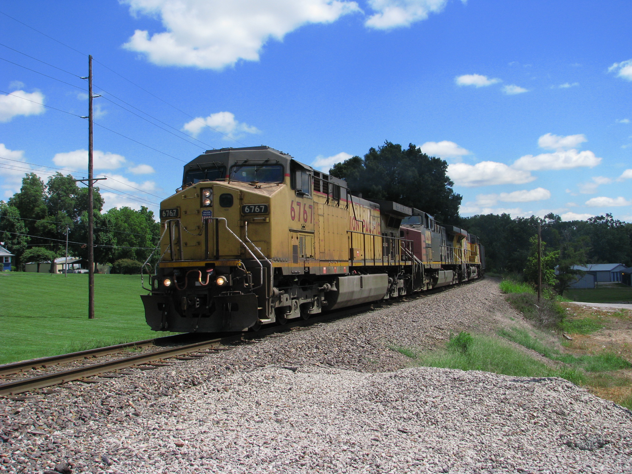
UP 6767
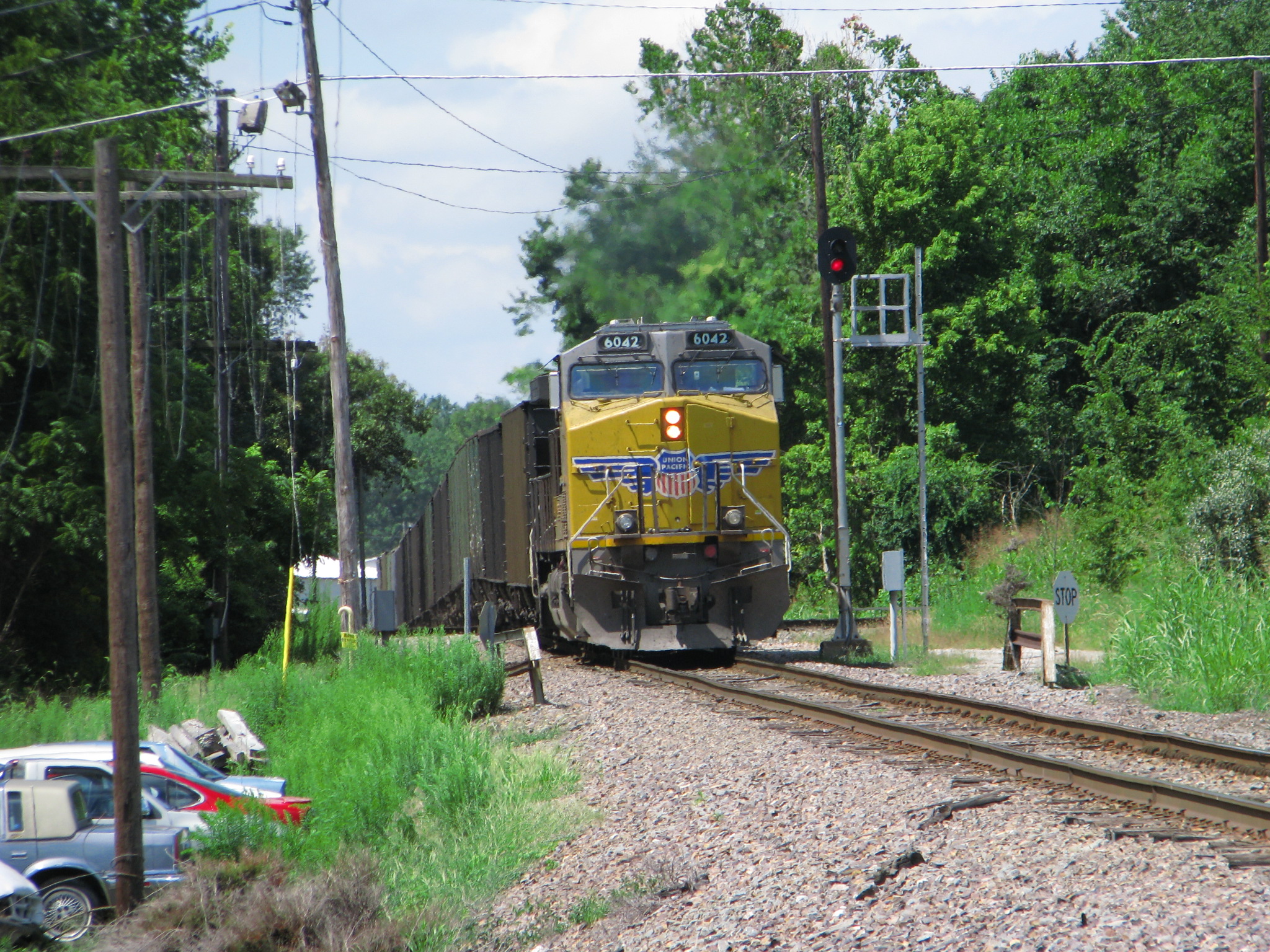
UP 6042
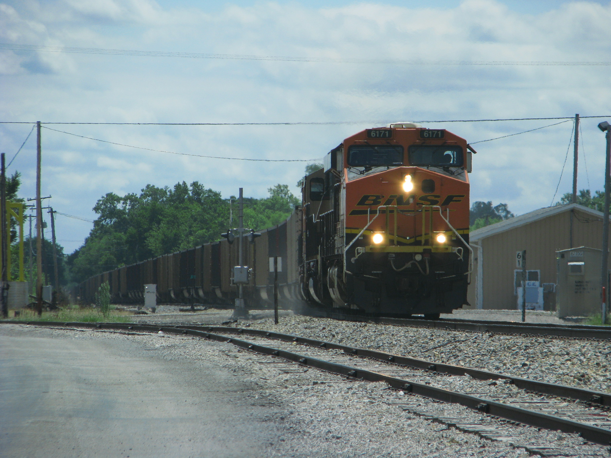
BNSF 6171
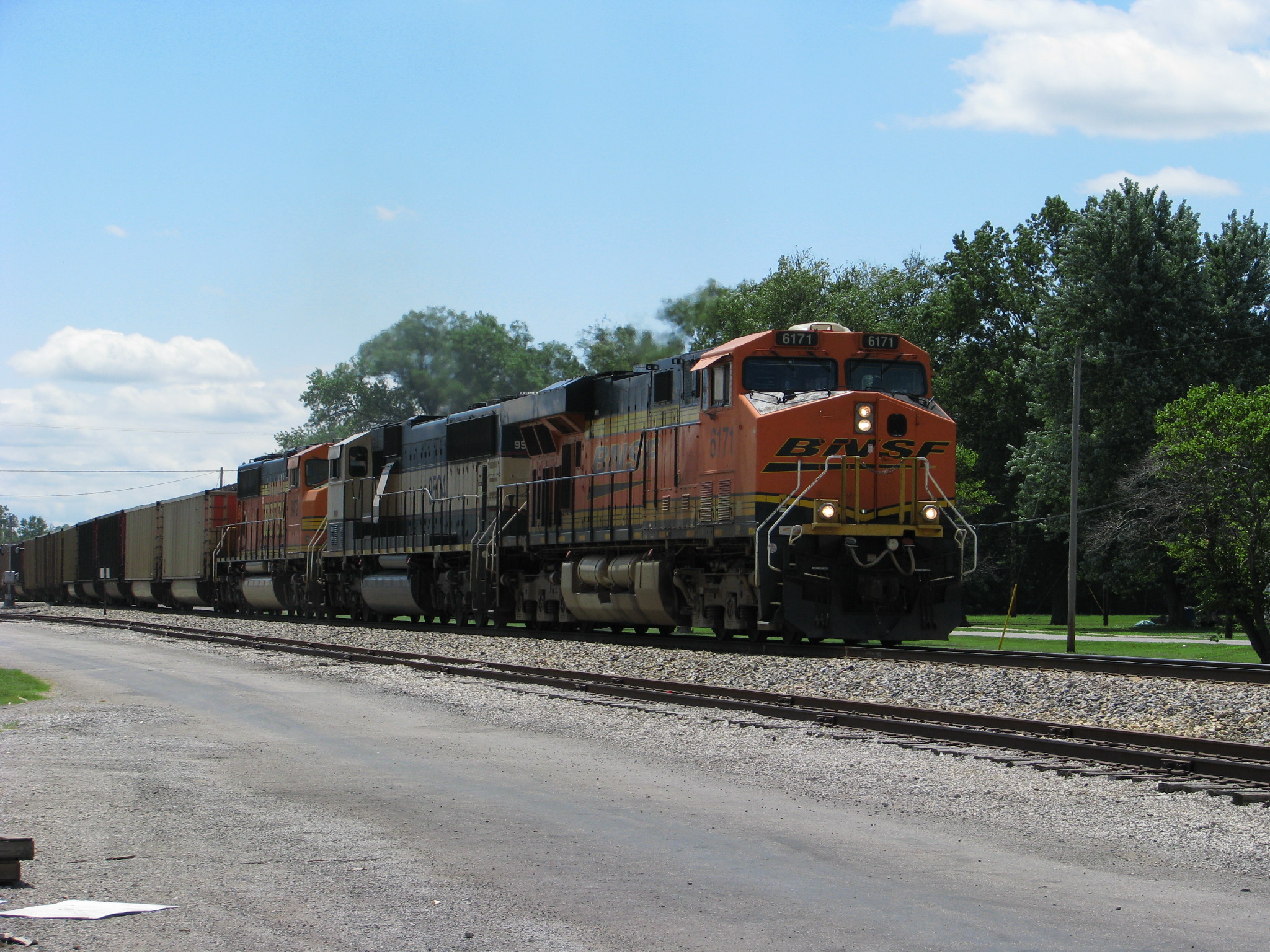
BNSF 6171
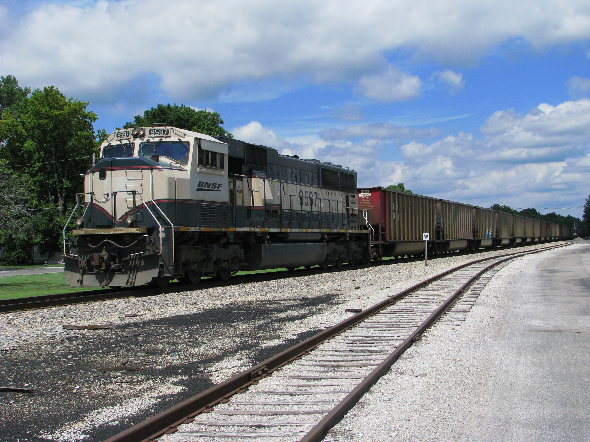
BNSF 9597
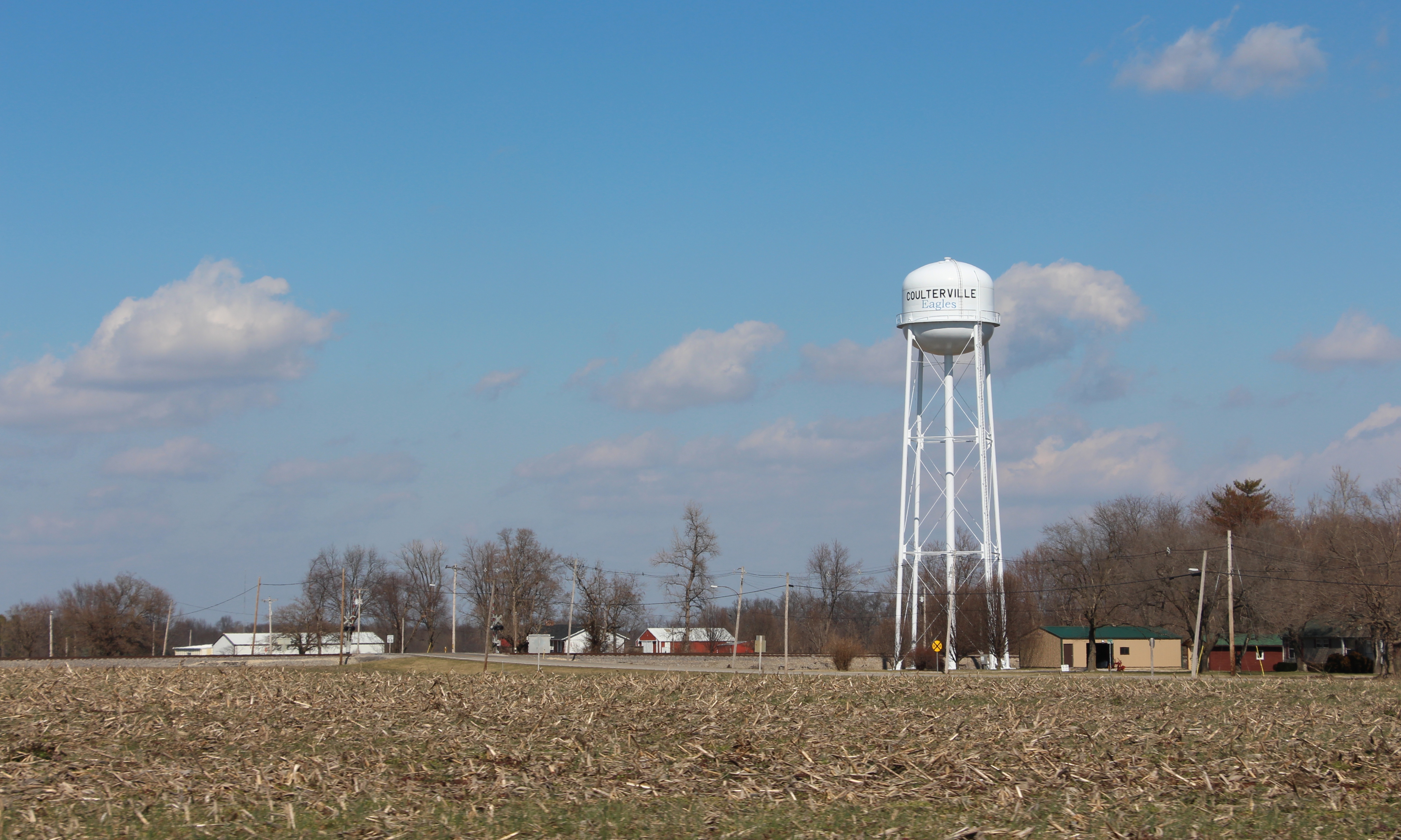
Water Tower - Coulterville, IL_IMG_4276c
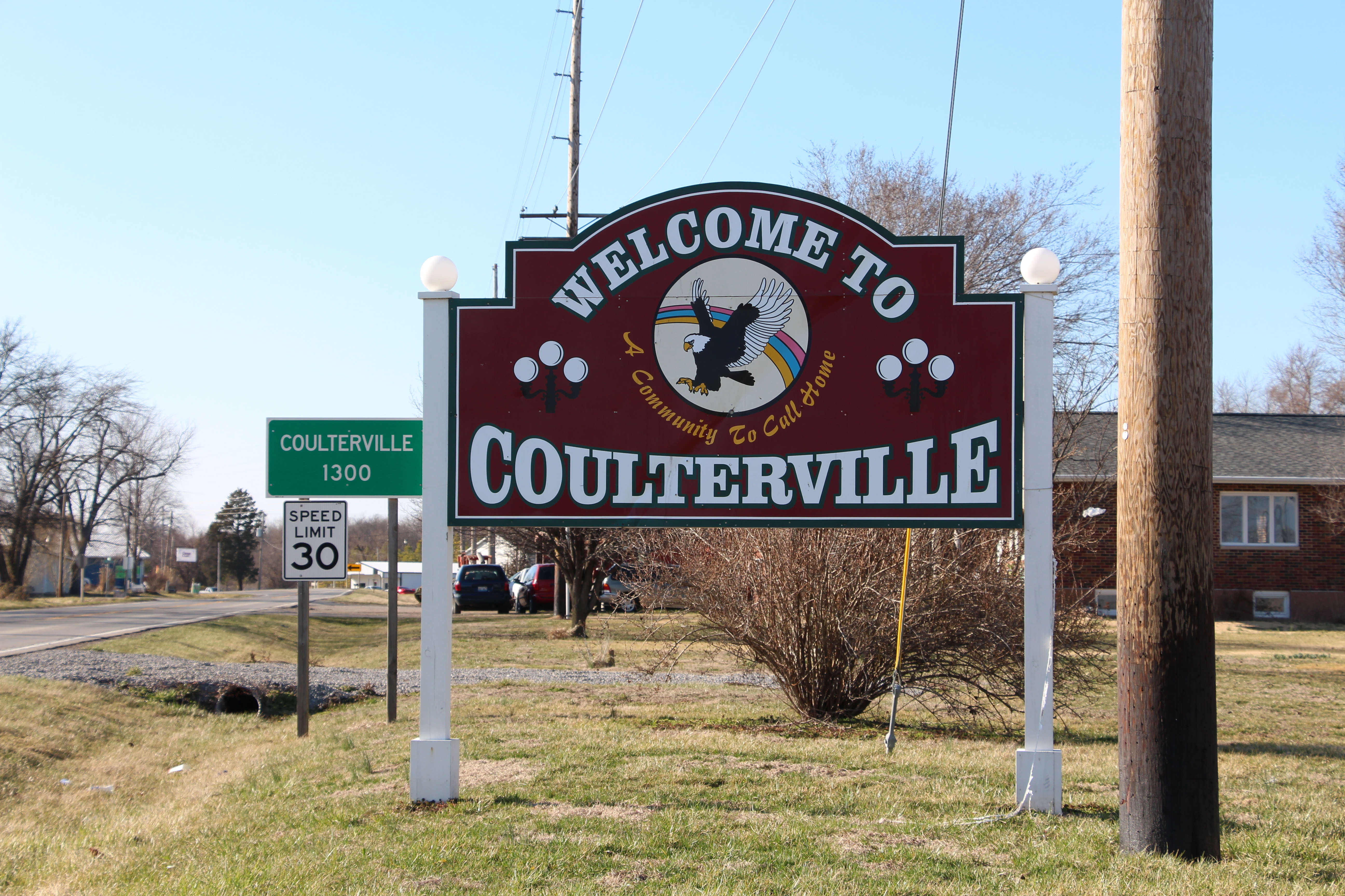
Welcome to Coulterville, IL Sign_IMG_4415
Garden hose in headlights, late night, my yard. #ondragontime #southernillinois #soill #618 #nashvilleil #trees #foliage #leaves #nighttime #headlights #autumn #fall #decay #rot #garden
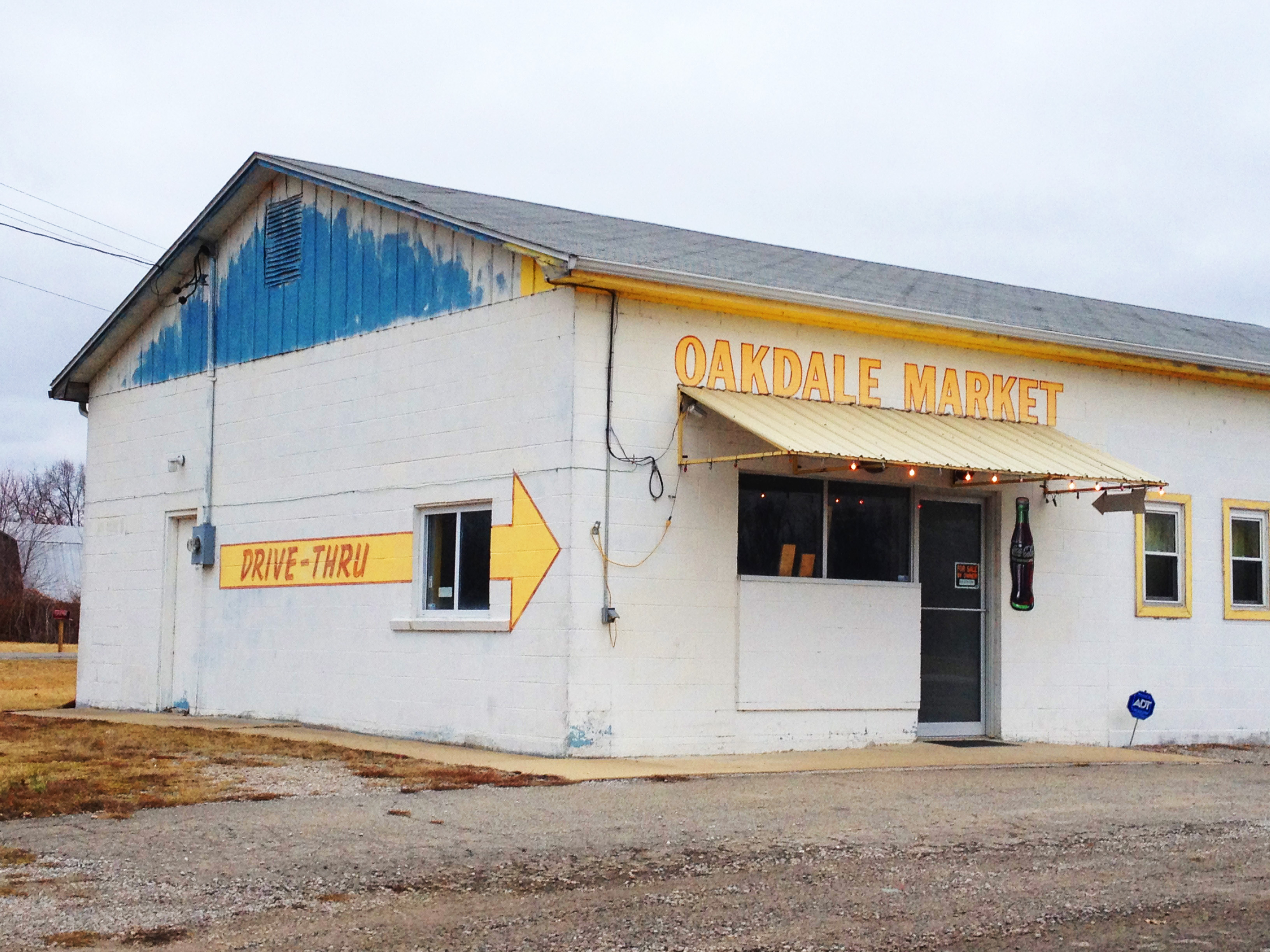
Oakdale Market

Structural Field
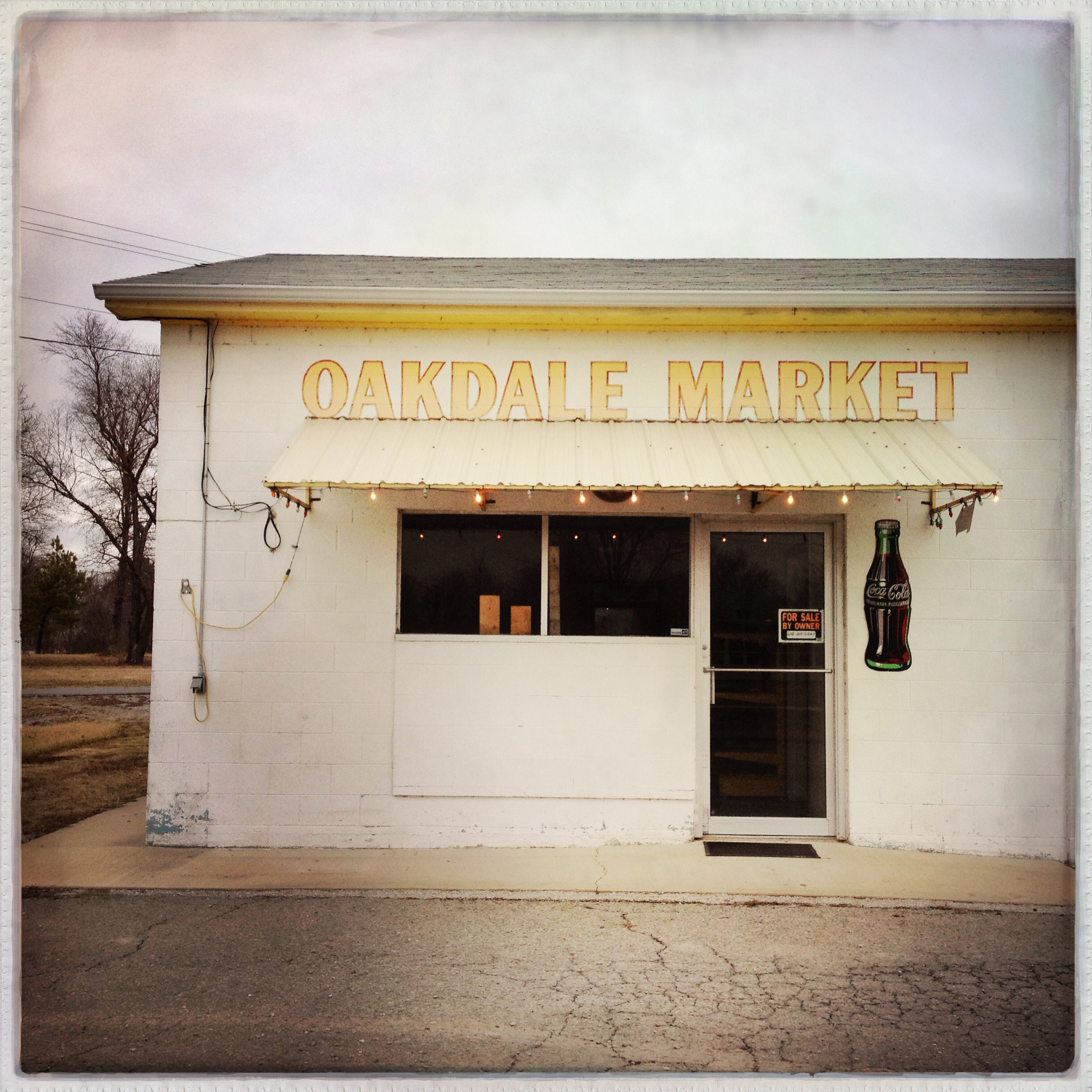
Oakdale Market
Topographic Map of Fleur-De-Lis Rd, Coulterville, IL, USA
Find elevation by address:

Places near Fleur-De-Lis Rd, Coulterville, IL, USA:
Swanwick
IL-13, Pinckneyville, IL, USA
Conant Rd, Pinckneyville, IL, USA
Oakdale Township
Oakdale
Pinckneyville
Pilot Knob Township
3266 Black Diamond Rd
Todds Mill Rd, Pinckneyville, IL, USA
Beaucoup
Main St, Oakdale, IL, USA
Elkton
Co Rd 4, Percy, IL, USA
IL-, Sparta, IL, USA
Percy
Percy Township
Peach St, Willisville, IL, USA
Lively Grove Township
Pyatt-Cutler Rd, Pinckneyville, IL, USA
Perry County
Recent Searches:
- Elevation of Corso Fratelli Cairoli, 35, Macerata MC, Italy
- Elevation of Tallevast Rd, Sarasota, FL, USA
- Elevation of 4th St E, Sonoma, CA, USA
- Elevation of Black Hollow Rd, Pennsdale, PA, USA
- Elevation of Oakland Ave, Williamsport, PA, USA
- Elevation of Pedrógão Grande, Portugal
- Elevation of Klee Dr, Martinsburg, WV, USA
- Elevation of Via Roma, Pieranica CR, Italy
- Elevation of Tavkvetili Mountain, Georgia
- Elevation of Hartfords Bluff Cir, Mt Pleasant, SC, USA