Elevation of Flatiron Rd, Lewiston, ID, USA
Location: United States > Idaho > Nez Perce County > Lewiston >
Longitude: -116.83096
Latitude: 46.210108
Elevation: 1121m / 3678feet
Barometric Pressure: 89KPa
Elevation Map:
Satellite Map:
Related Photos:

Bald Eagle (immature)

Greenish Blue
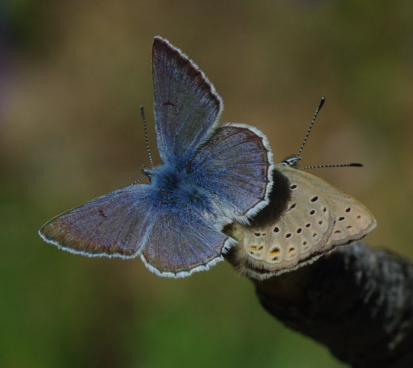
Greenish Blue

Sunset and Hardpack
Snake River
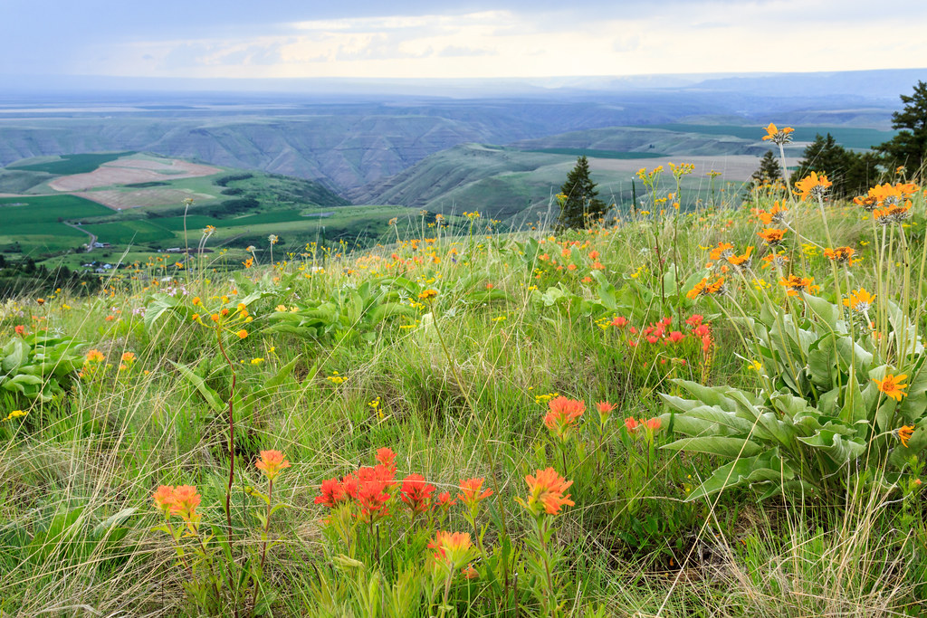
Prairie Flowers
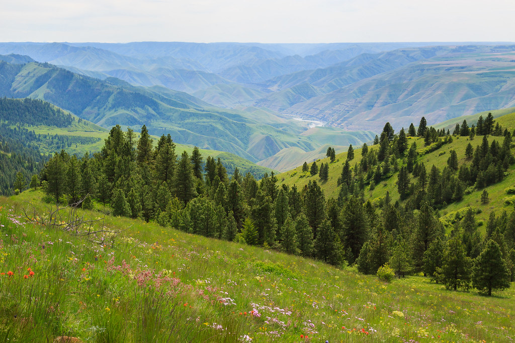
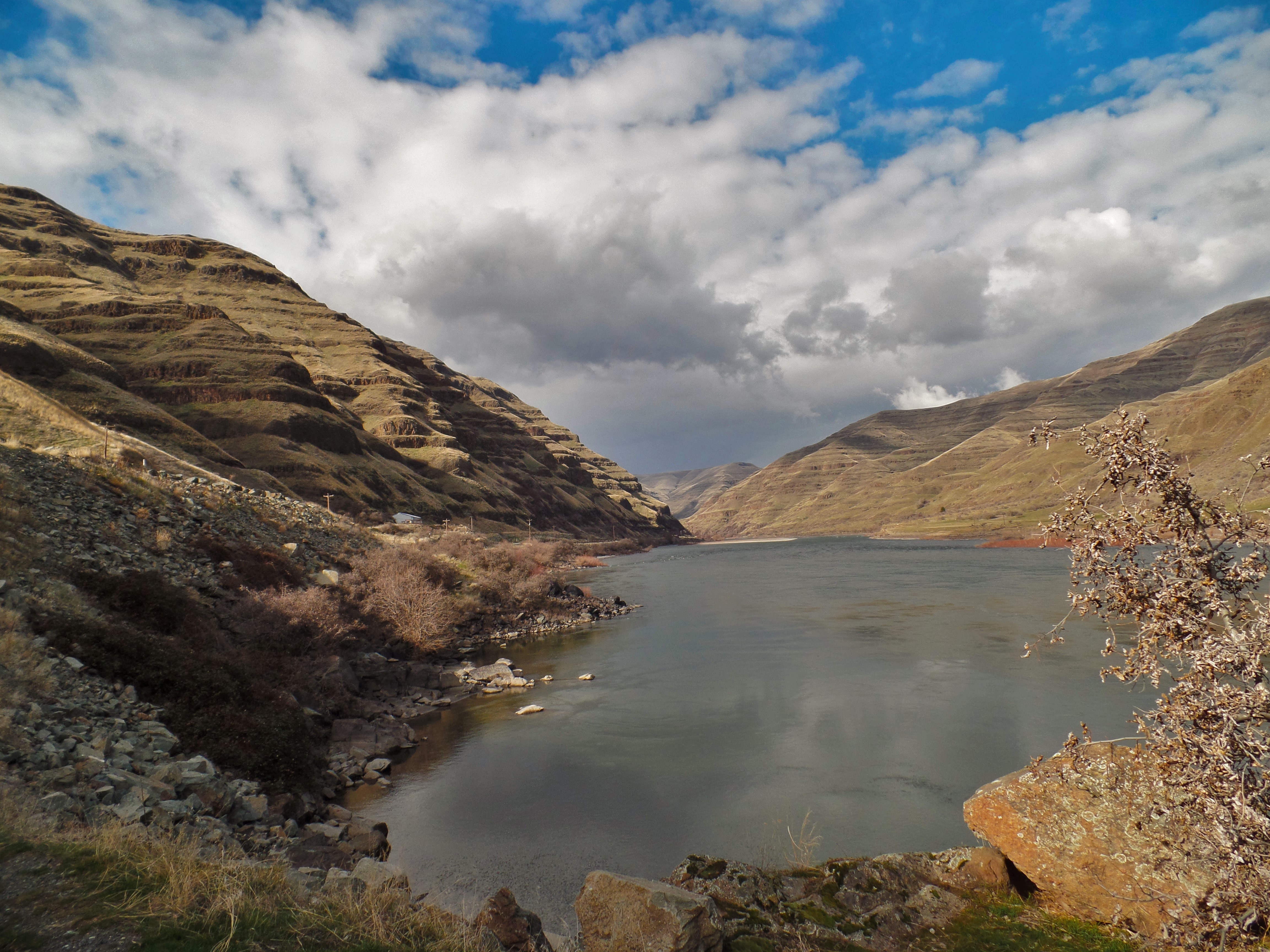
Snake River Gorge
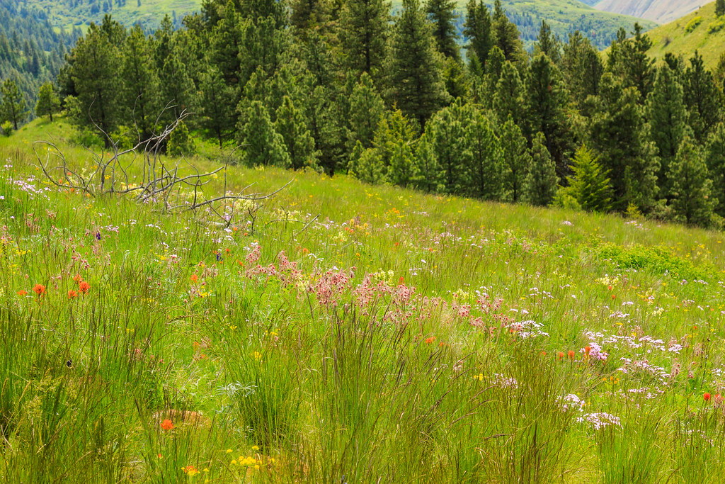
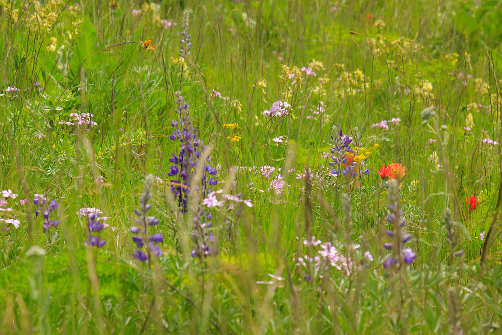
Prairie Wildflowers
Winter Waha Walk
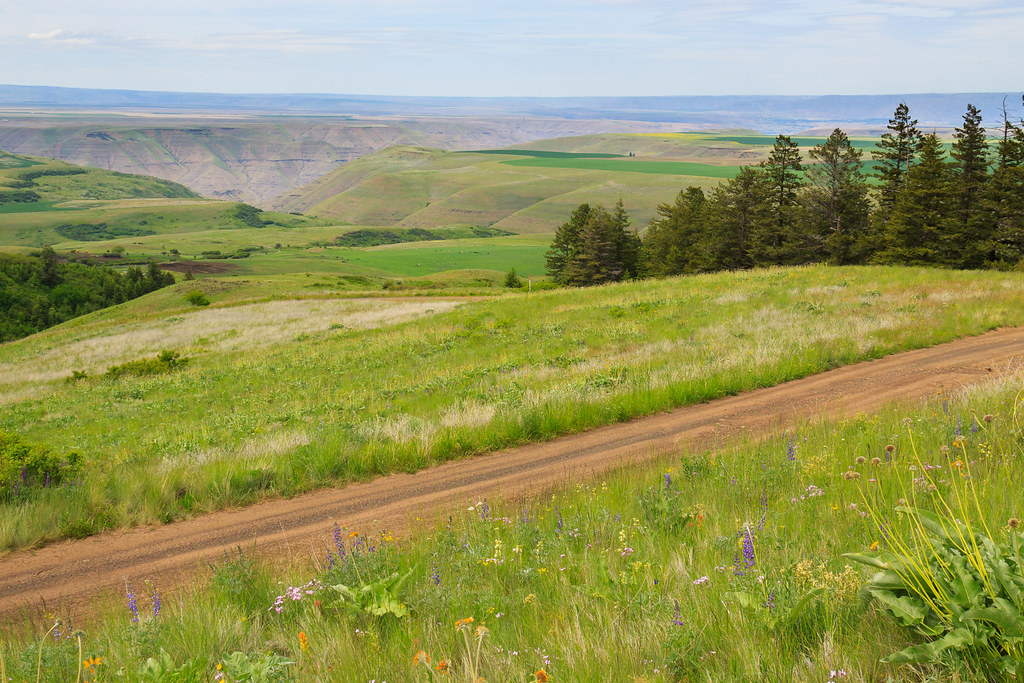
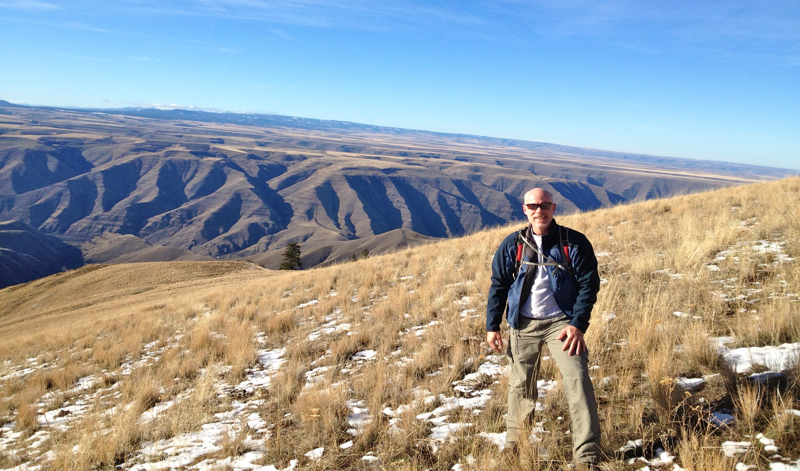
Scenic View at Waha

IMG_0118.JPG

IMG_0064.JPG
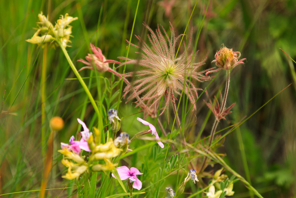
Prairie Smoke

Goats on Water's Edge 4

IMG_0028.JPG
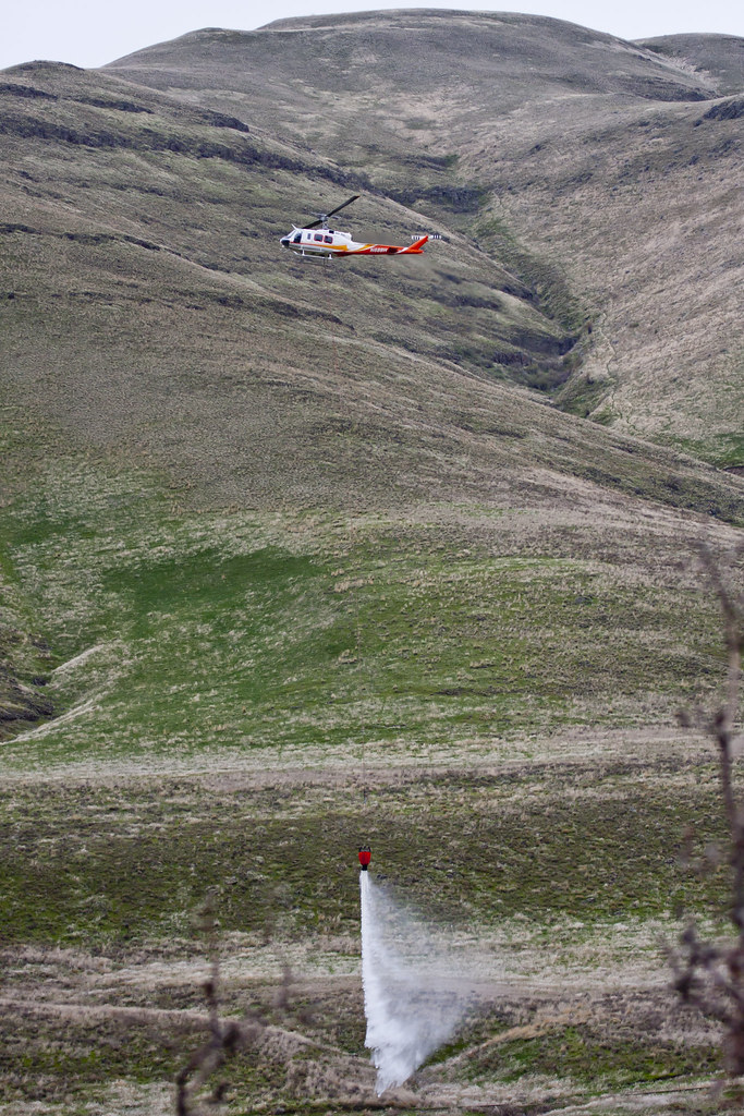
Preparing for fire season
Buffalo Eddy, Nez Perce National Historic Park
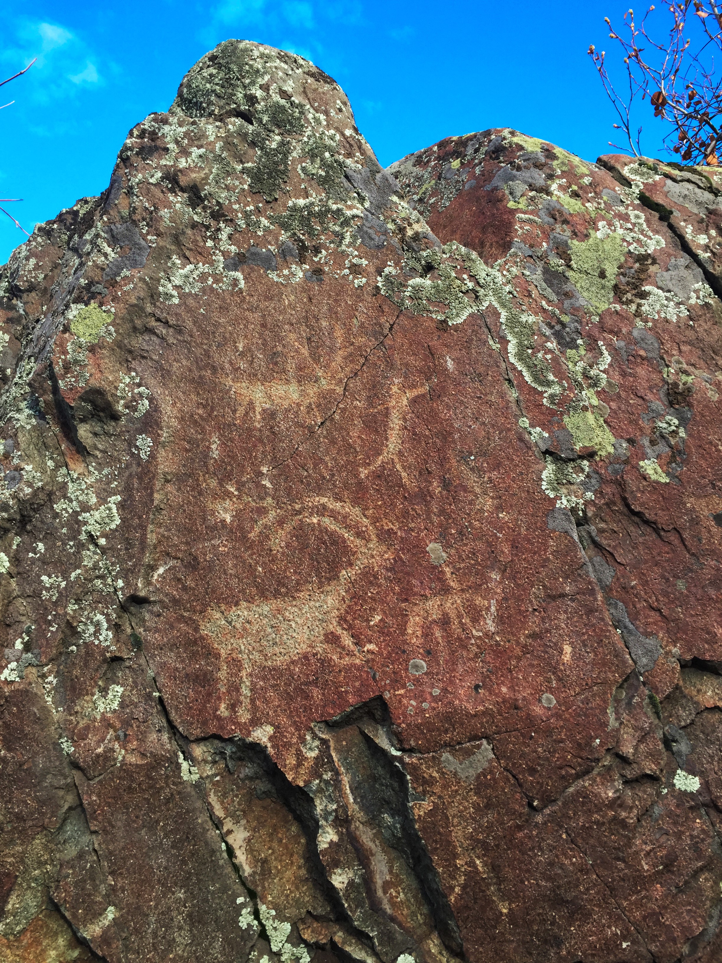
Buffalo Eddy, Nez Perce National Historic Park
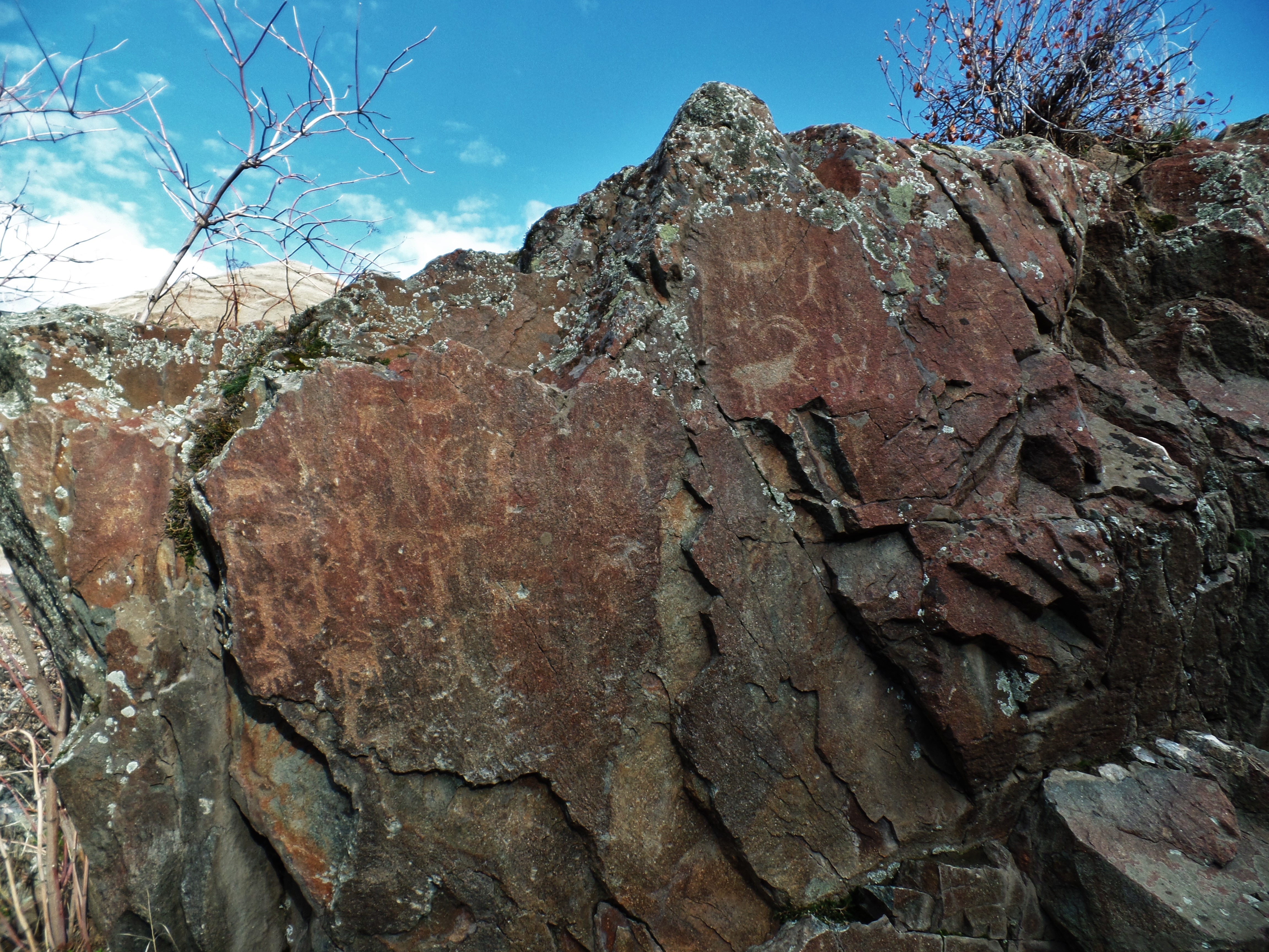
Buffalo Eddy, Nez Perce National Historic Park
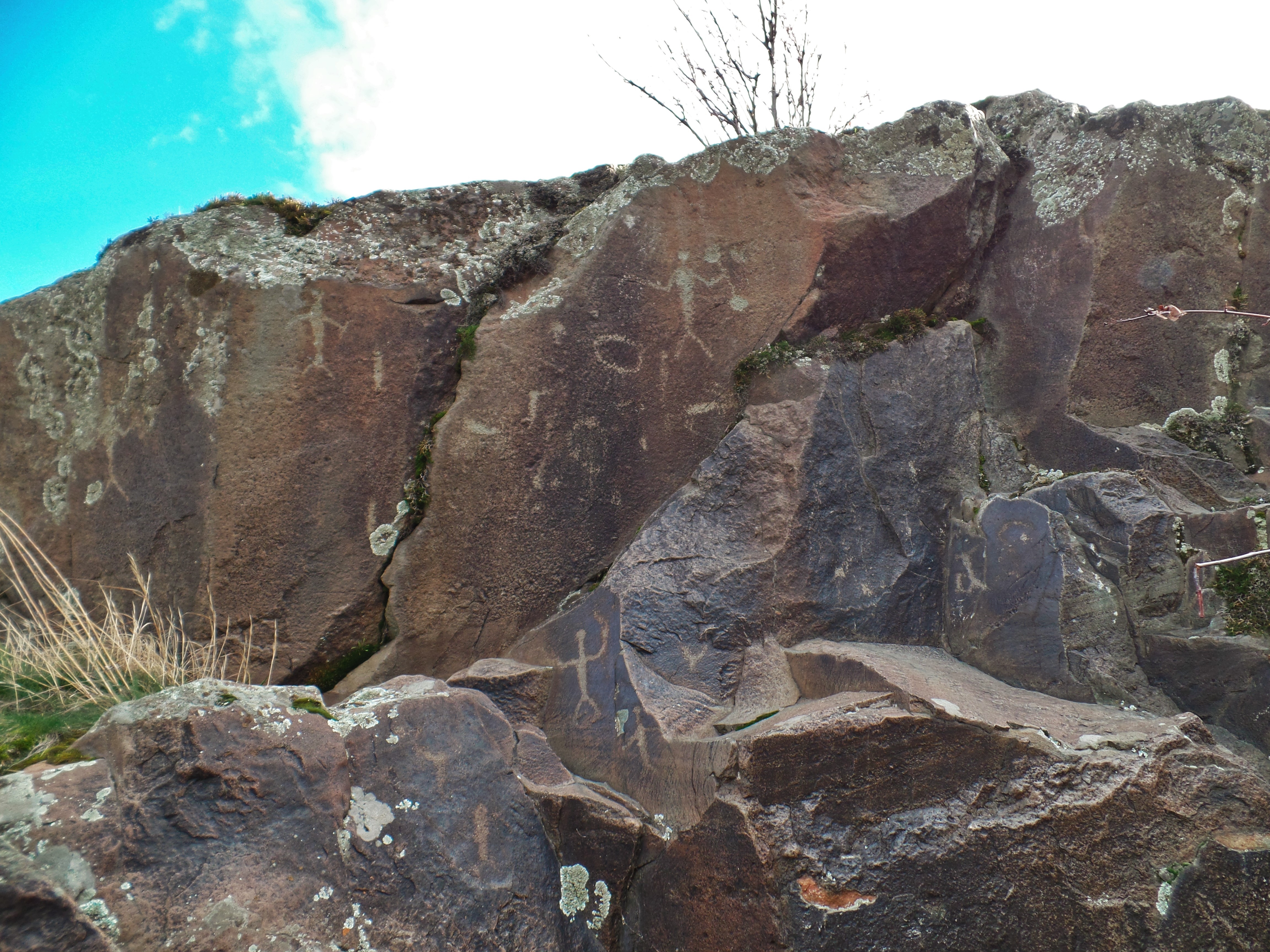
Buffalo Eddy, Nez Perce National Historic Park
Topographic Map of Flatiron Rd, Lewiston, ID, USA
Find elevation by address:

Places near Flatiron Rd, Lewiston, ID, USA:
Bluejay Ln, Lewiston, ID, USA
Waha
Black Bear Bend
35365 Powell Rd
35345 Pheasant Loop Rd
35046 Powell Rd
19295 Associates Dr
Zaza Rd, Lewiston, ID, USA
Snake River Rd, Asotin, WA, USA
30875 Deacon Ridge Rd
US-95, Lapwai, ID, USA
Goldner Rd, Lapwai, ID, USA
3812 22nd St
2008 Birch Ave
Wheat Ln, Culdesac, ID, USA
Heller Bar
Lapwai
Rogersburg
Tammany Creek Road
3611 16th St
Recent Searches:
- Elevation of Steadfast Ct, Daphne, AL, USA
- Elevation of Lagasgasan, X+CQH, Tiaong, Quezon, Philippines
- Elevation of Rojo Ct, Atascadero, CA, USA
- Elevation of Flagstaff Drive, Flagstaff Dr, North Carolina, USA
- Elevation of Avery Ln, Lakeland, FL, USA
- Elevation of Woolwine, VA, USA
- Elevation of Lumagwas Diversified Farmers Multi-Purpose Cooperative, Lumagwas, Adtuyon, RV32+MH7, Pangantucan, Bukidnon, Philippines
- Elevation of Homestead Ridge, New Braunfels, TX, USA
- Elevation of Orchard Road, Orchard Rd, Marlborough, NY, USA
- Elevation of 12 Hutchinson Woods Dr, Fletcher, NC, USA