Elevation of Flatiron Mountain, Montana, USA
Location: United States > Montana > Ennis >
Longitude: -111.78691
Latitude: 44.9713127
Elevation: 3014m / 9888feet
Barometric Pressure: 70KPa
Elevation Map:
Satellite Map:
Related Photos:
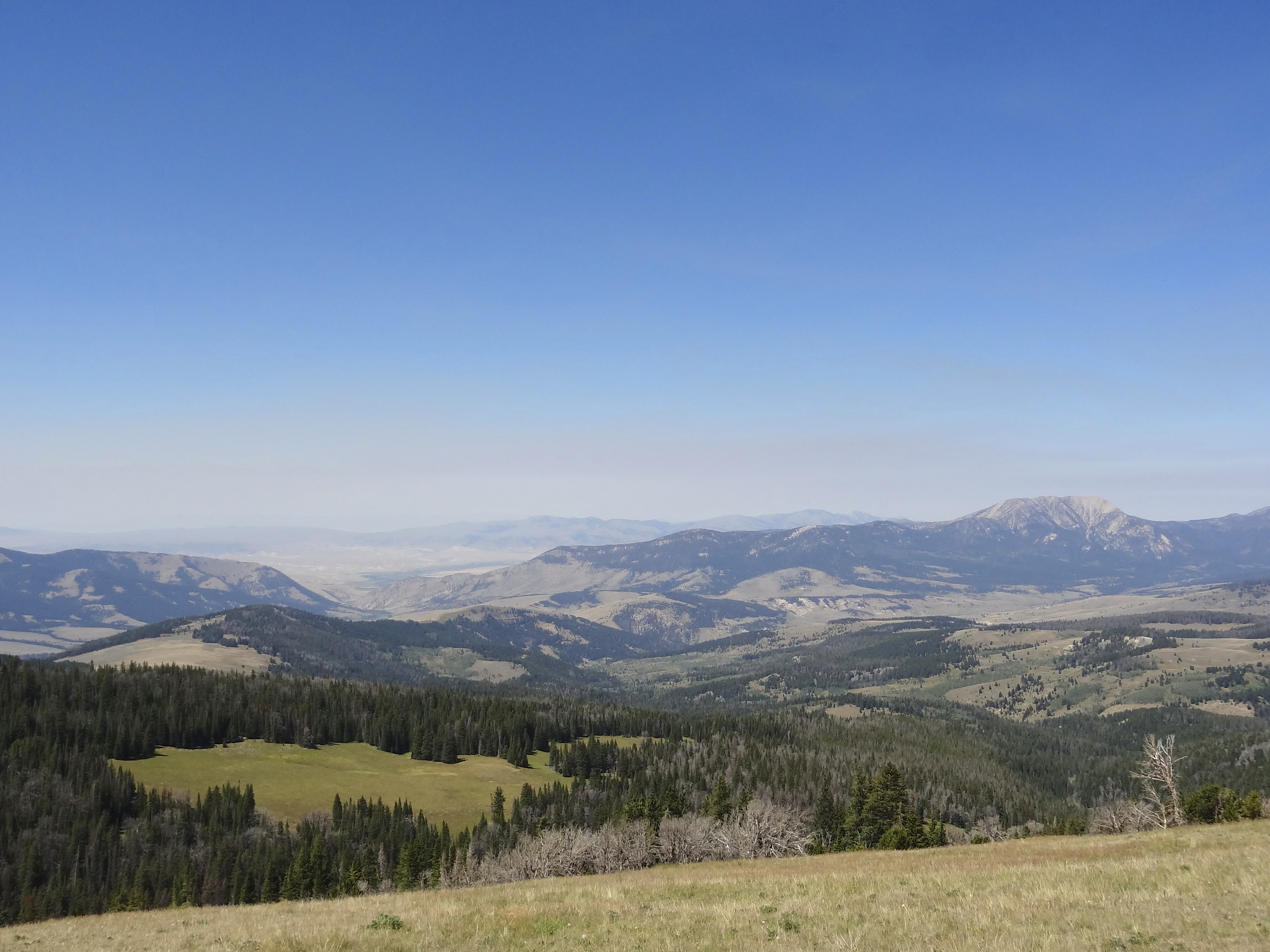
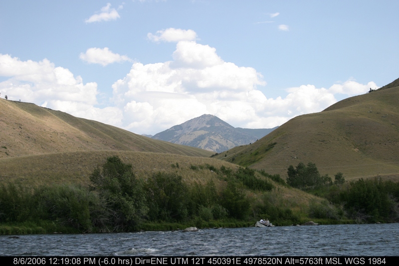
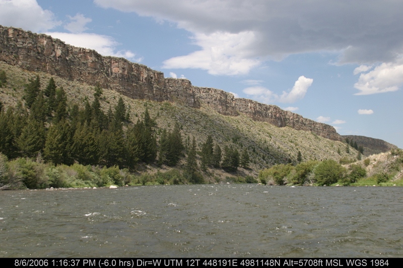
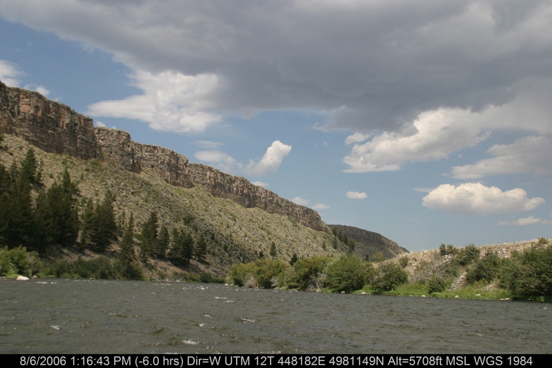
View off the Gravelly
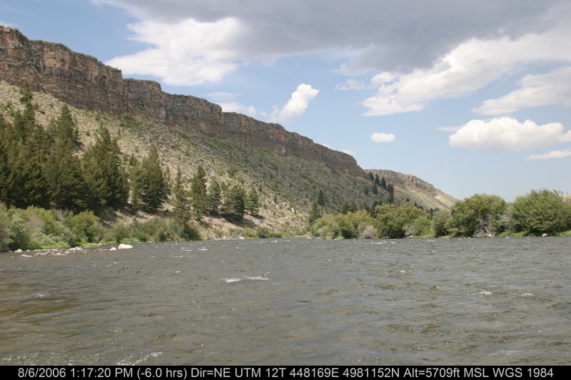
IMG_3916.JPG
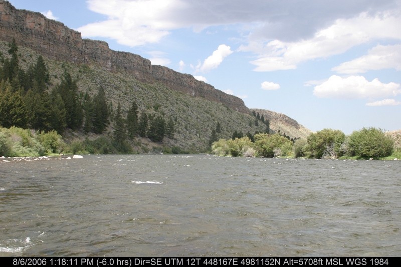
IMG_3920.JPG
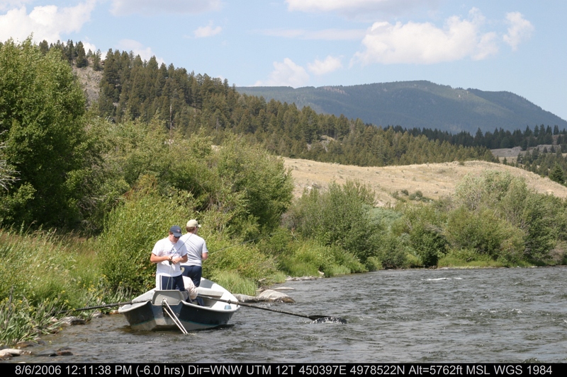
IMG_3921.JPG
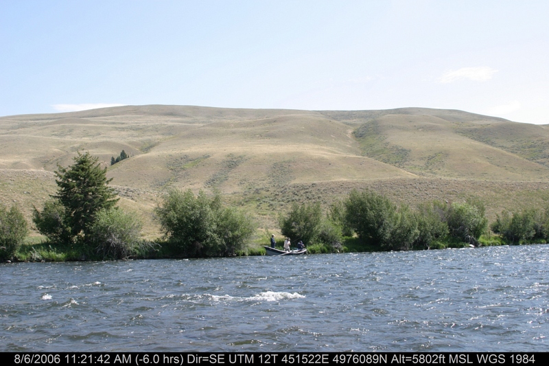
IMG_3922.JPG
IMG_3924.JPG
IMG_3910.JPG
IMG_3897.JPG
IMG_3917.JPG
IMG_3909.JPG
IMG_3886.JPG
IMG_3907.JPG
Topographic Map of Flatiron Mountain, Montana, USA
Find elevation by address:

Places near Flatiron Mountain, Montana, USA:
Marmot Mountain
Cave Mountain
Unnamed Road
Snowcrest Mountain
18 Sturdy Ln
Grahams Place
Wade Lake
Schusters Place
Jackpine Gulch
22685 N Valley Rd
Cliff Lake
S Valley Rd, Lima, MT, USA
Earthquake Lake Visitor Center
Walter Blessey Ponderosa Ranch
Sawtooth Mountain
Henry's Lake Road
Henrys Lake
ID-87, Island Park, ID, USA
3855 Overlook Dr
3869 Overlook Dr
Recent Searches:
- Elevation of Corso Fratelli Cairoli, 35, Macerata MC, Italy
- Elevation of Tallevast Rd, Sarasota, FL, USA
- Elevation of 4th St E, Sonoma, CA, USA
- Elevation of Black Hollow Rd, Pennsdale, PA, USA
- Elevation of Oakland Ave, Williamsport, PA, USA
- Elevation of Pedrógão Grande, Portugal
- Elevation of Klee Dr, Martinsburg, WV, USA
- Elevation of Via Roma, Pieranica CR, Italy
- Elevation of Tavkvetili Mountain, Georgia
- Elevation of Hartfords Bluff Cir, Mt Pleasant, SC, USA