Elevation of Flamingo Dr, St Marys, GA, USA
Location: United States > Georgia > Camden County > Saint Marys >
Longitude: -81.584644
Latitude: 30.775236
Elevation: 6m / 20feet
Barometric Pressure: 101KPa
Elevation Map:
Satellite Map:
Related Photos:

Crossing Into Florida II

A Western Sky On The River
step into the light

Scrambling Spectrums

Two Generations Of Steel
Amelia Island

Ft. Clinch State Park, Amelia Island, 2 Thessalonians 3:3

View from St. Marys Steam Express
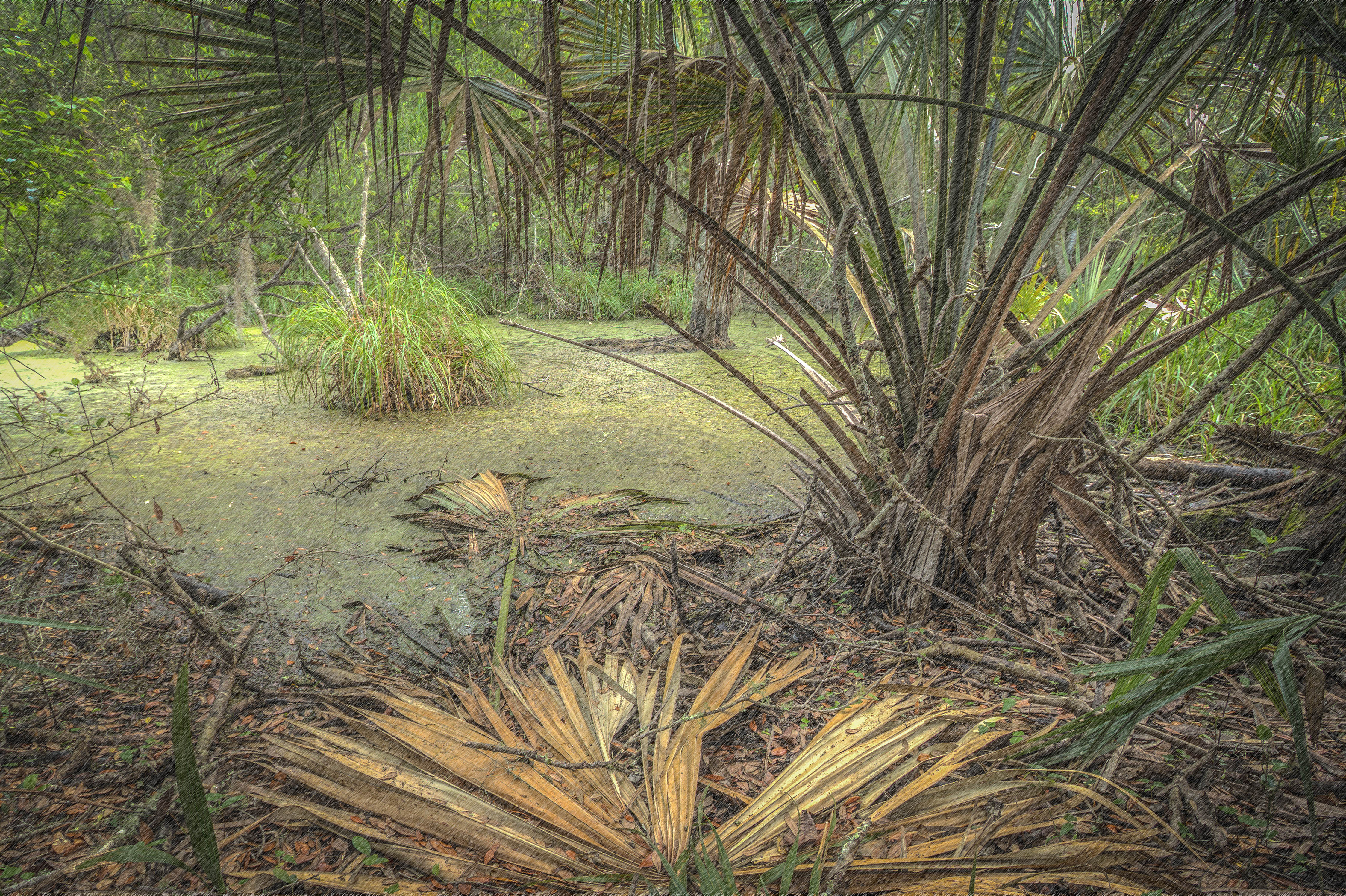
Deeper than Any Forest Primeval...

Ft. Clinch State Park, Amelia Island, Psalm 18:2

Augusts Showers
cat's meow campsite

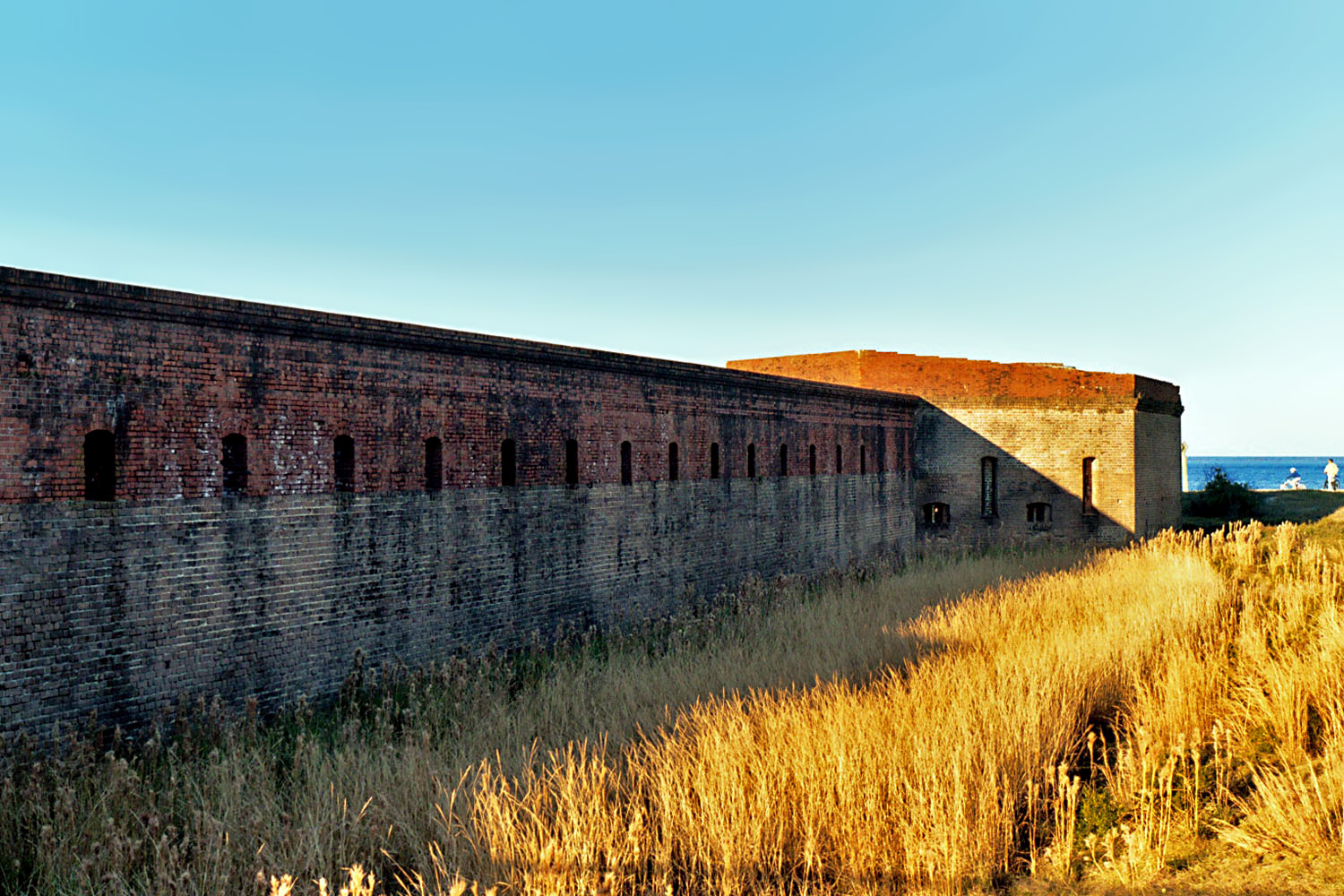
View of ramparts and parade ground, Fort Clinch

the last to know
View of Interior, Fort Clinch
Fort Clinch, Fernandina Beach
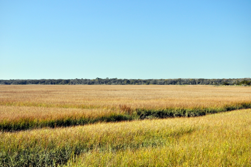
Marsh view
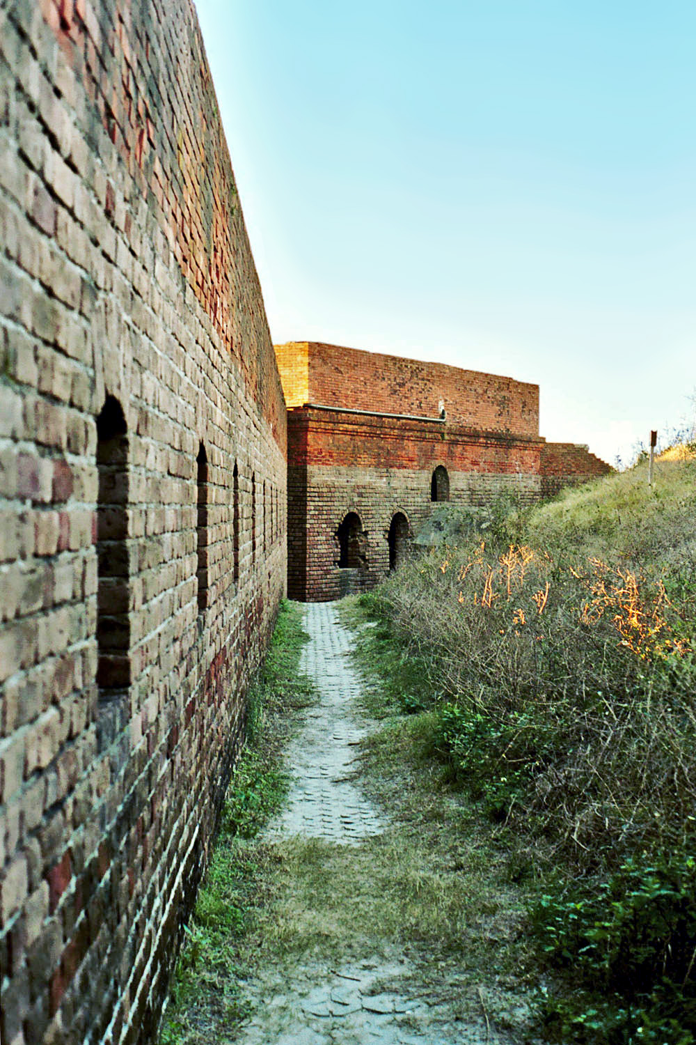
Moat, Fort Clinch
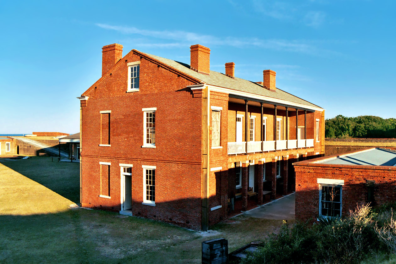
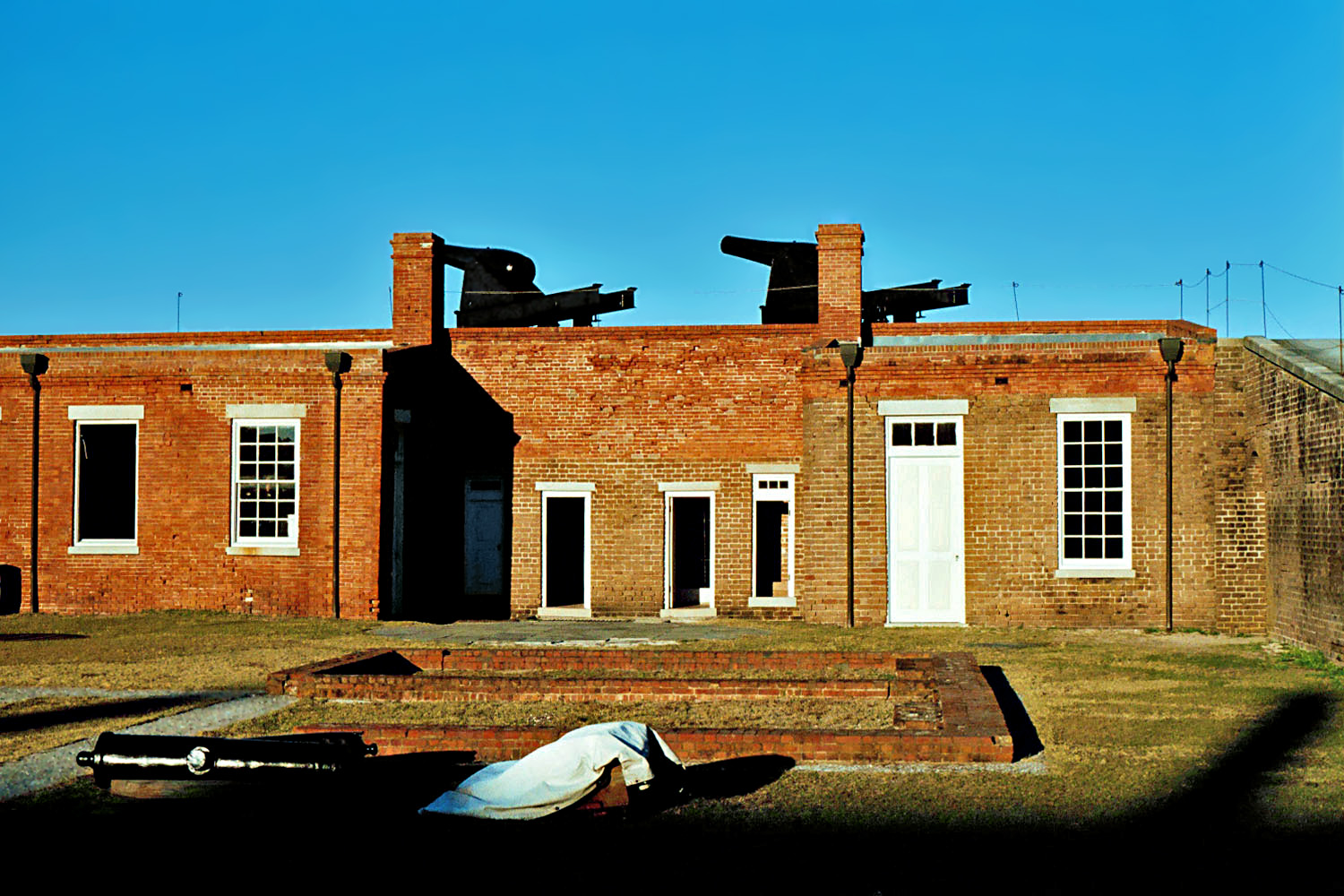
Barracks, Fort Clinch, Florida

Grave at Sunset

SWFLANT_Glow_IMG_8912 View full screen.
Think of...
Same river different light

Last northbound run across the Marshes

A Good Sunday

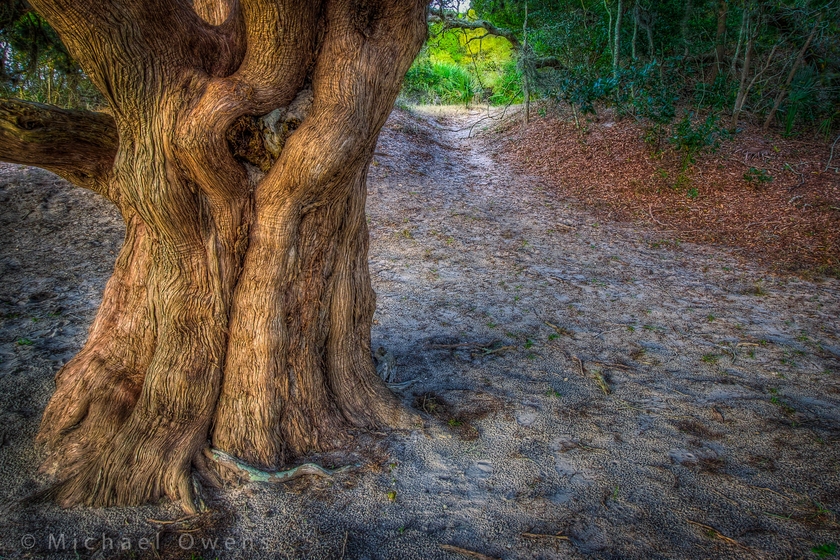
Forest Path

Road to Dungeness, Cumberland Island, Georgia
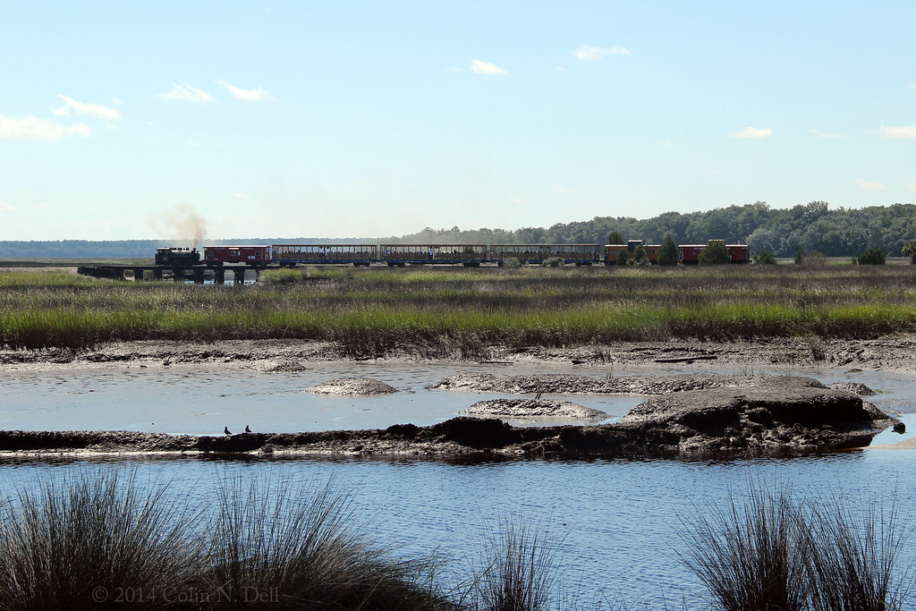
St Mary's Steam Express

Tree of Life

Looking down the dock...

Sea Camp Beach

A gently curving beach and a pile of boulders.

Wide open road

Like a Dream

Marsh at High Tide_IMG_0979

Reflection IMG_0903_HDR

Lines IMG_0994

Morning Calm_IMG_7410
And then it started to rain.

Sunrise on the River_IMG_0173
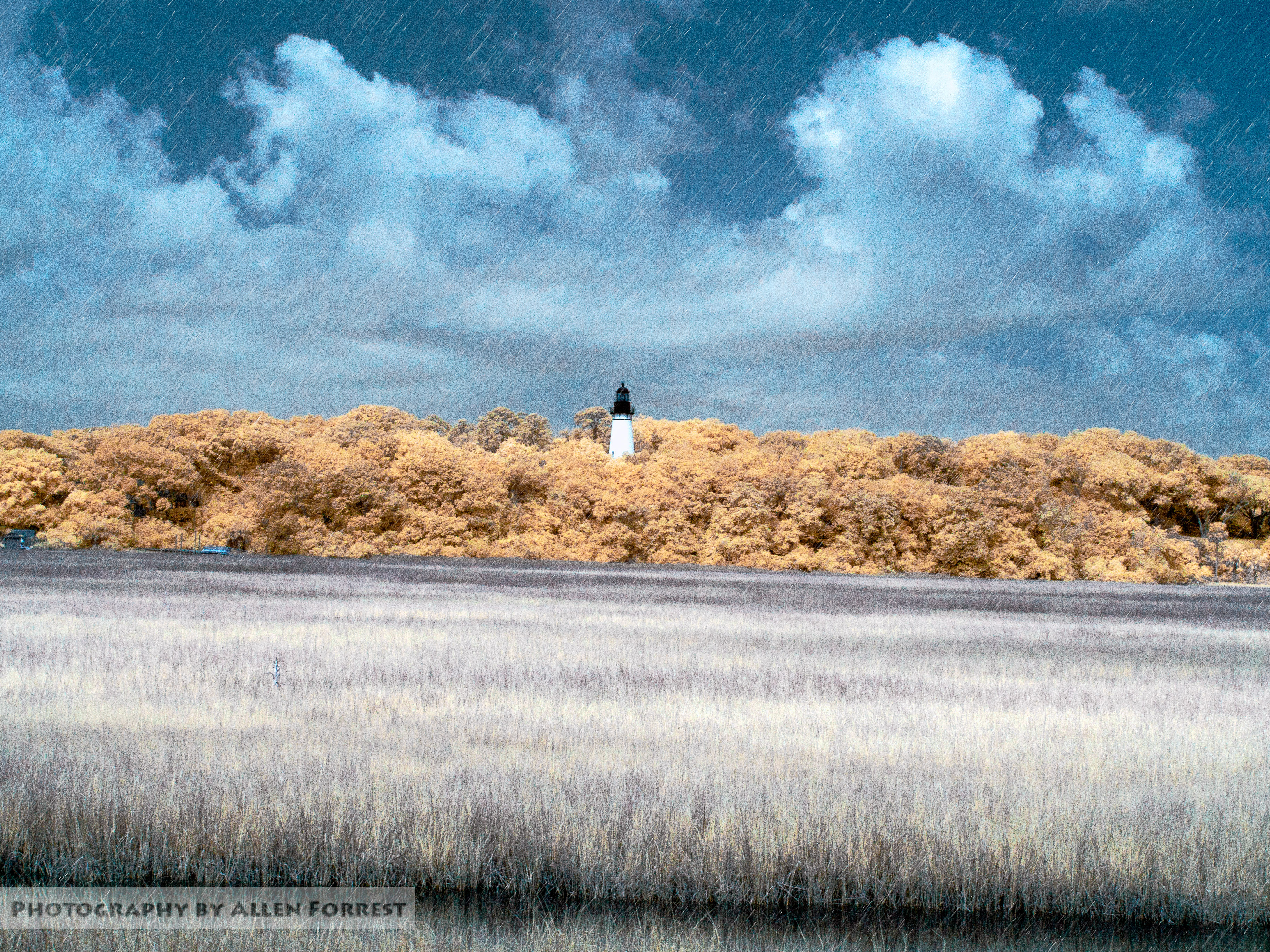
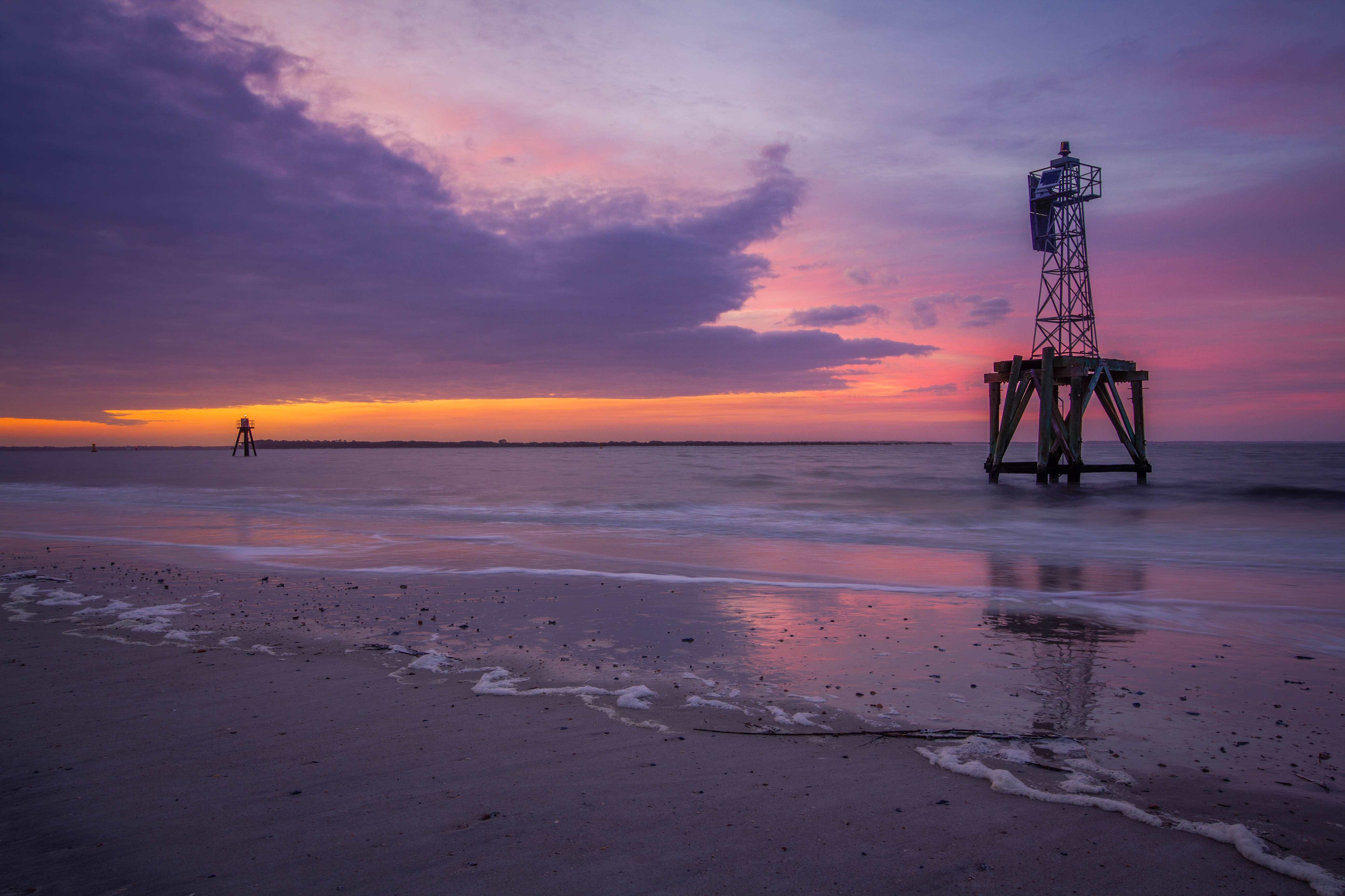
Amelia Island Lighthouse
Topographic Map of Flamingo Dr, St Marys, GA, USA
Find elevation by address:

Places near Flamingo Dr, St Marys, GA, USA:
105 Allison Way
103 Waterman Rd
207 Teakwood Dr
504 Mcintosh Dr
605 Mcintosh Dr
Olympic Lane
44 Olympic Ln
291 Natures Bounty Trail
93 Dellwood Pl, St Marys, GA, USA
106 Gary Cir
14 Coastal Walk
11 Coastal Walk
Lake Shore Drive
304 Pinedale Dr
108 Mariners Dr
Pinedale Dr, St Marys, GA, USA
223 Lakemont Dr
422 Brooklet Cir
204 Sunnyside Dr
136 Woodvalley Ct
Recent Searches:
- Elevation of Rojo Ct, Atascadero, CA, USA
- Elevation of Flagstaff Drive, Flagstaff Dr, North Carolina, USA
- Elevation of Avery Ln, Lakeland, FL, USA
- Elevation of Woolwine, VA, USA
- Elevation of Lumagwas Diversified Farmers Multi-Purpose Cooperative, Lumagwas, Adtuyon, RV32+MH7, Pangantucan, Bukidnon, Philippines
- Elevation of Homestead Ridge, New Braunfels, TX, USA
- Elevation of Orchard Road, Orchard Rd, Marlborough, NY, USA
- Elevation of 12 Hutchinson Woods Dr, Fletcher, NC, USA
- Elevation of Holloway Ave, San Francisco, CA, USA
- Elevation of Norfolk, NY, USA