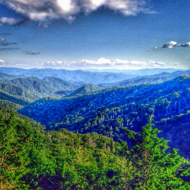
Elevation of Flaming Arrow, Whittier, NC, USA
Location: United States > North Carolina > Swain County > Charleston > Whittier >
Longitude: -83.307862
Latitude: 35.4443777
Elevation: 647m / 2123feet
Barometric Pressure: 94KPa
Elevation Map:
Satellite Map:
Related Photos:
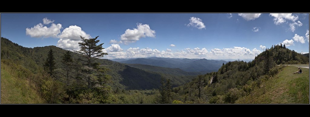
Woodfin Valley - EOS_00870

Mingo Falls

The Hand of Mingo
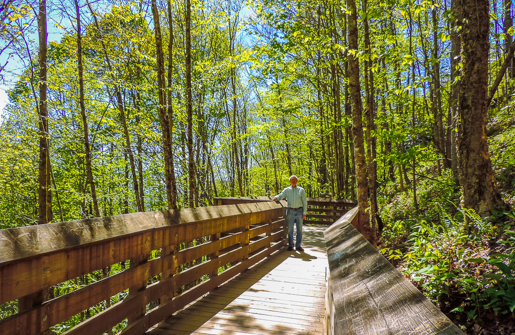
viewing platform
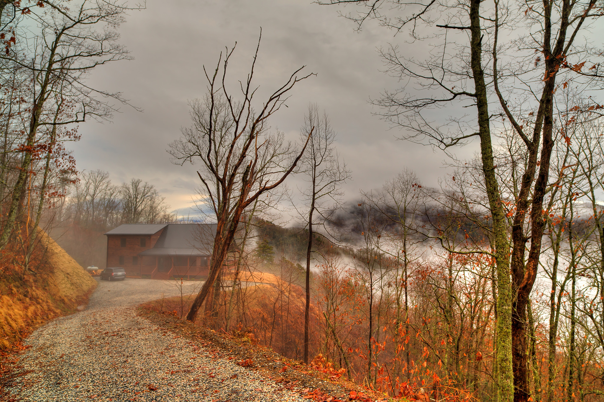
The Cabin Above The Clouds

Mountain Farm Barn

Tom's Branch Falls

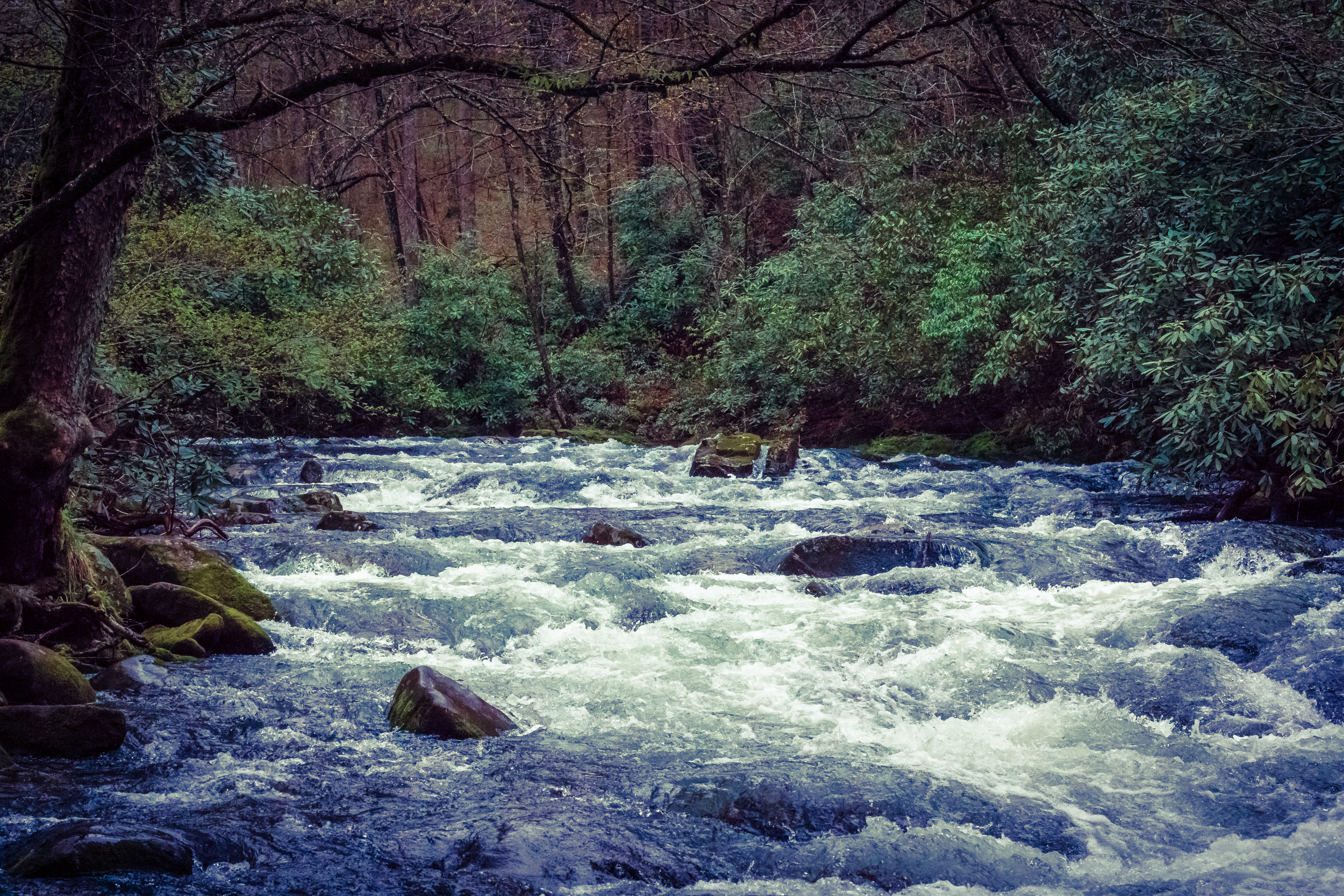
Smoky Waters

Mingus Mill

Mingus Mill
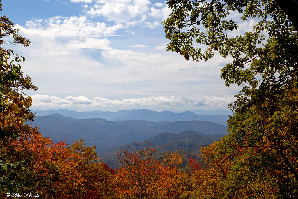
Cranberry Ridge Overlook View

Appalachian Homestead

Jackson County Courthouse - Explore #170

Pinhole View of the Oconaluftee River
"Smokey Bear" Overlook
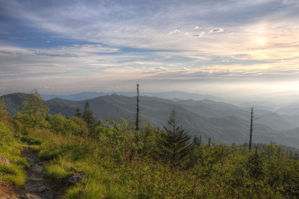
A High Trail.

Mingus Mill

IMG_6527-20090508

317e2 purple picnic

IMG_1963-100414

Roundleaf Groundsel

Cloud and Color

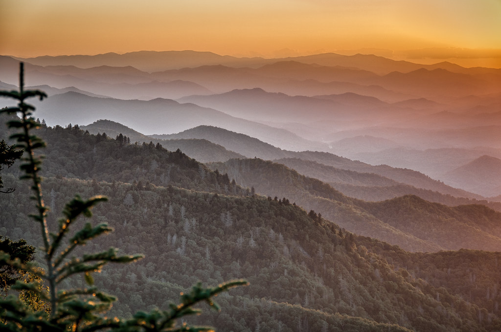
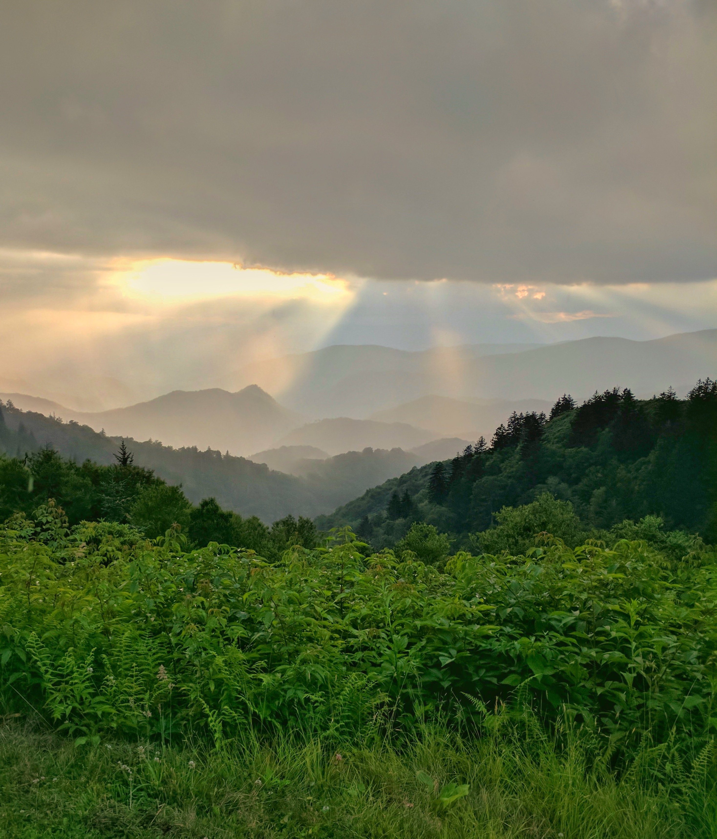
Sunset Over Great Smoky Mountains
Sunset at Waterrock Knob - Explored
River Dance
These cell phone cameras are just too good! Blue Ridge Parkway

Tom's Branch Falls
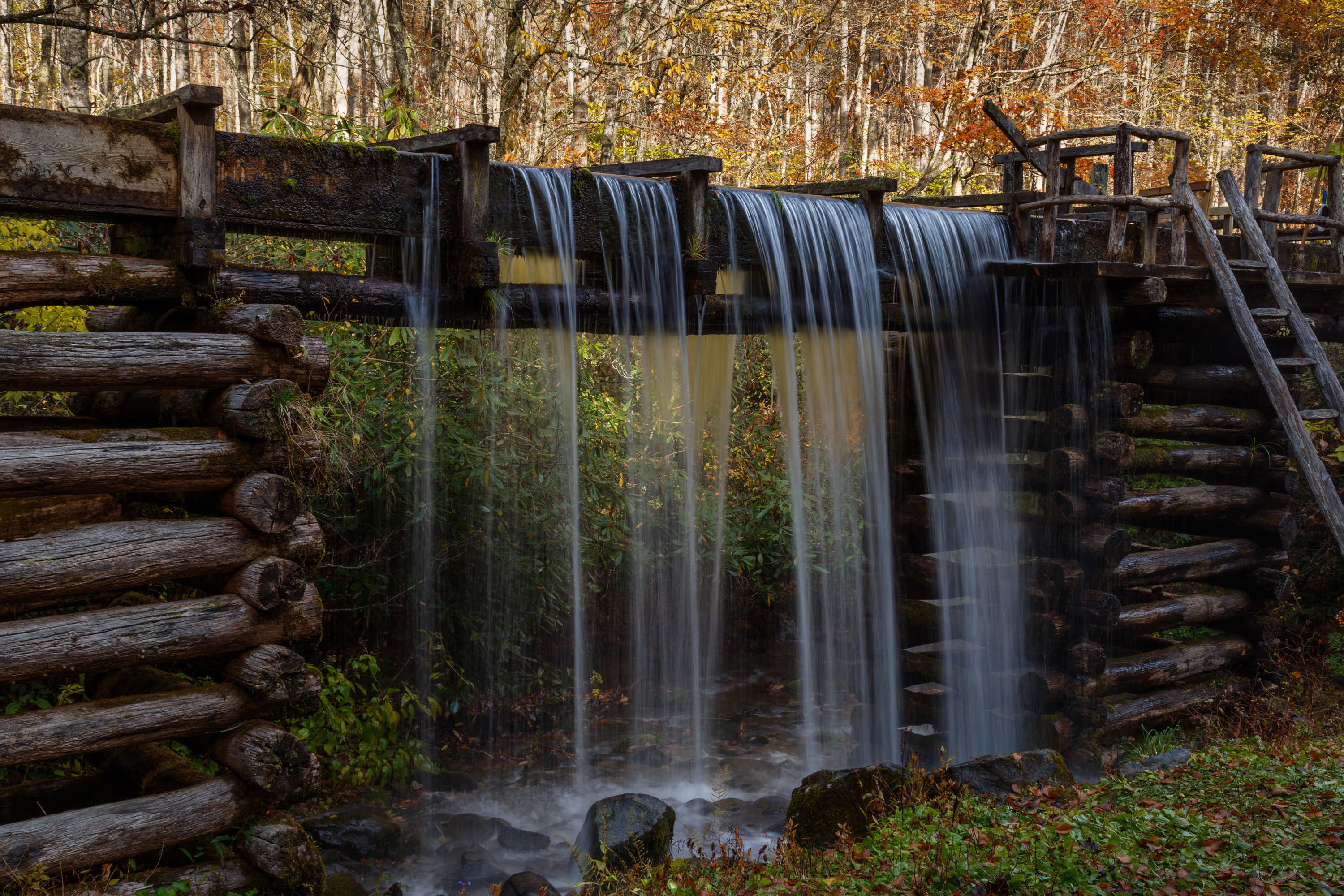
Mingus Mill

Resilient Fern

Mingo Falls

Soco Falls

After leaving Oconaluftee, (an Indian Village in Cherokee, North Carolina) I felt really humble to see in person what it was like to experience how 18th century Indians lived and learn more history of our land. Unfortunately, the white settlers brought so
Ferguson Valley

Mingo Falls

Mingo Falls

Juneywhank Falls

remembering to breathe
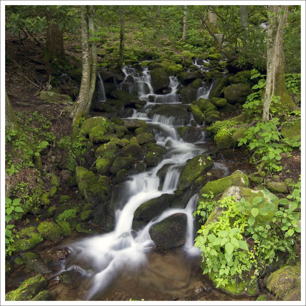
Waterfalls Everywhere!
Deep Creek Valley from Thomas Divide #greatsmokymountains #gsmnp #blueridgecountry #newfoundgaproad #828isgreat #shaconage #clearday #igersoftheday #iphotography #brysoncity #gatlinburg #cherokeenc #avl #asheville #northcarolinamountains #hikenorthcarolin

Sunlit Stream
Topographic Map of Flaming Arrow, Whittier, NC, USA
Find elevation by address:

Places near Flaming Arrow, Whittier, NC, USA:
112 Morning Dove Ln
Morning Dove Lane
292 Martin Rd
444 Ridgetop Cir
276 Adventure Trail
348 Ridgetop Cir
Camp Creek Road
760 Olivet Church Rd
387 Sheep Rock Cove Rd
Olivet Church Rd, Whittier, NC, USA
Hidden Springs
238 Old Soco Rd
Brigsy Lane
326 Old Soco Rd
17 Old Soco Rd
827 Old Mission Rd
178 Orchid Ridge Trail
Firefly Road
63 Tenderfoot Trail
524 Sapahaw Trail
Recent Searches:
- Elevation of Unnamed Road, Respublika Severnaya Osetiya — Alaniya, Russia
- Elevation of Verkhny Fiagdon, North Ossetia–Alania Republic, Russia
- Elevation of F. Viola Hiway, San Rafael, Bulacan, Philippines
- Elevation of Herbage Dr, Gulfport, MS, USA
- Elevation of Lilac Cir, Haldimand, ON N3W 2G9, Canada
- Elevation of Harrod Branch Road, Harrod Branch Rd, Kentucky, USA
- Elevation of Wyndham Grand Barbados Sam Lords Castle All Inclusive Resort, End of Belair Road, Long Bay, Bridgetown Barbados
- Elevation of Iga Trl, Maggie Valley, NC, USA
- Elevation of N Co Rd 31D, Loveland, CO, USA
- Elevation of Lindever Ln, Palmetto, FL, USA