Elevation of Flag Rd, Leslie, AR, USA
Location: United States > Arkansas > Stone County > Flag Township >
Longitude: -92.39344
Latitude: 35.819244
Elevation: 361m / 1184feet
Barometric Pressure: 97KPa
Elevation Map:
Satellite Map:
Related Photos:
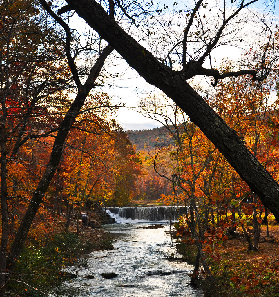
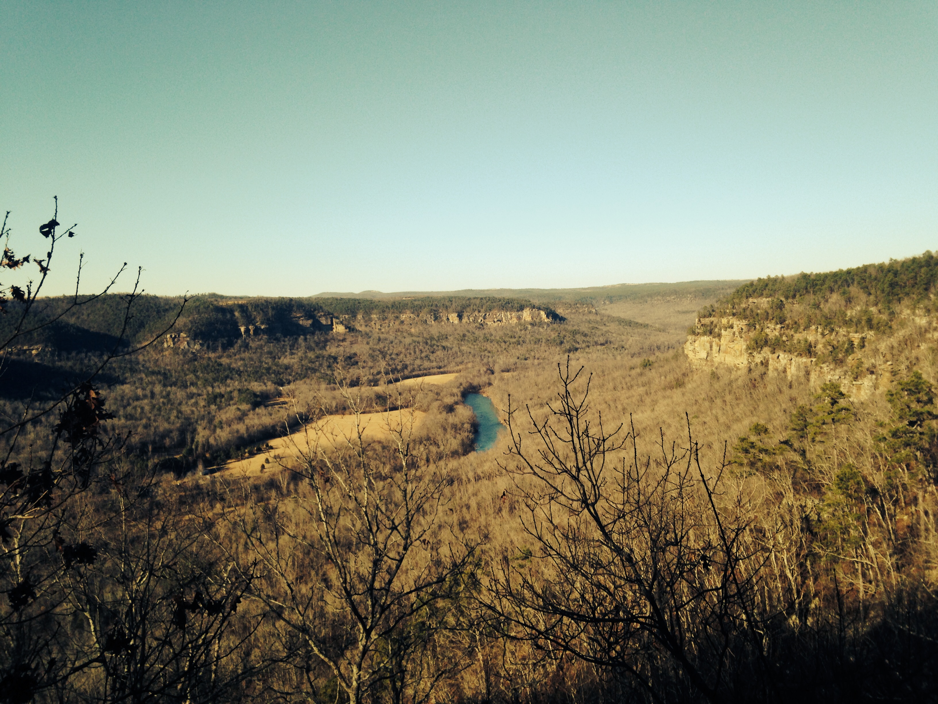
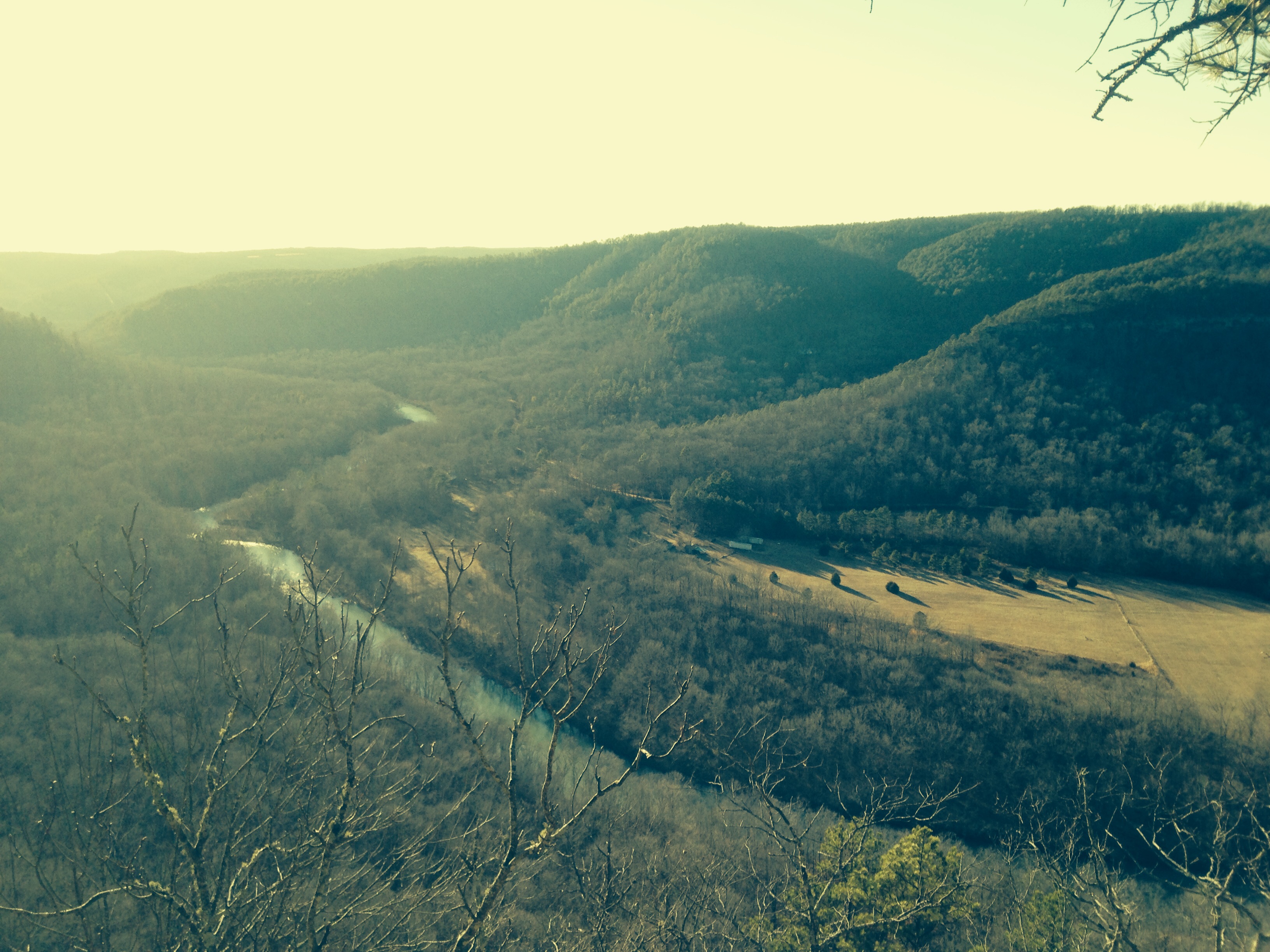
Long distance view upstream
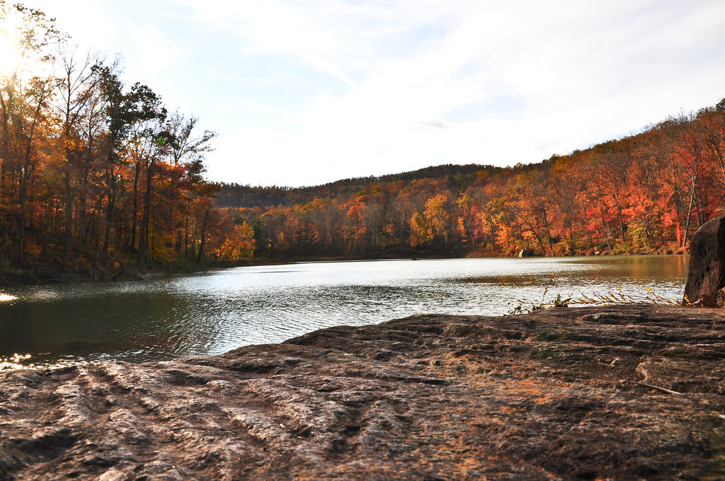
Fall is almost over here

Arkansas Carp and Scenes-3

Garter Snake
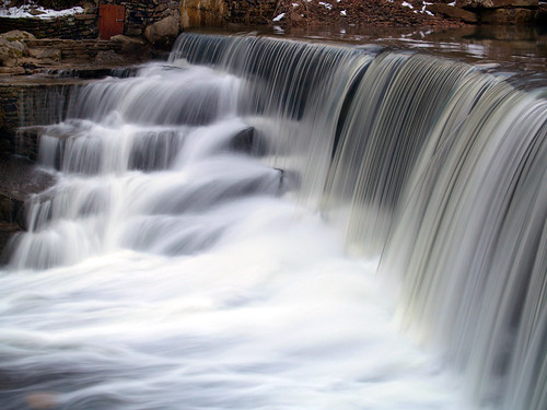
Little Waterfall between Clinton and Leslie
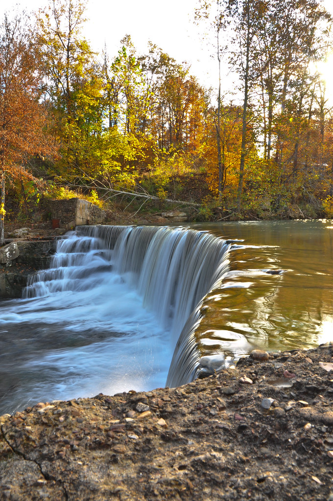
Leslie's waterfall

Ah, spring!

Hay Bails

Arkansas Scene
Mount Eagle
Mount Eagle
Topographic Map of Flag Rd, Leslie, AR, USA
Find elevation by address:

Places near Flag Rd, Leslie, AR, USA:
County Road 150
Flag Township
Timothy Road
Little Red River Rustic Cabins
Red River Township
Elba Rd, Dennard, AR, USA
419 Jimmy Creek Rd
Dodd Ln, Fox, AR, USA
Union Township
263 Lily Ln
3646 Red River Rd
Hart Ridge Road
Angora Mountain Rd, Clinton, AR, USA
6982 Ar-110
Linn Creek Township
439 Rockwood Ln
Fox
McElroy Rd, Fox, AR, USA
AR-, Clinton, AR, USA
Lute Mountain Road
Recent Searches:
- Elevation of Falling Spring Rd, Clyde, NC, USA
- Elevation of Kingsfield St, Castle Rock, CO, USA
- Elevation of AMELIA CT HSE, VA, USA
- Elevation of Abbey Dr, Virginia Beach, VA, USA
- Elevation of Brooks Lp, Spearfish, SD, USA
- Elevation of Panther Dr, Maggie Valley, NC, USA
- Elevation of Jais St - Wadi Shehah - Ras al Khaimah - United Arab Emirates
- Elevation of Shawnee Avenue, Shawnee Ave, Easton, PA, USA
- Elevation of Scenic Shore Dr, Kingwood Area, TX, USA
- Elevation of W Prive Cir, Delray Beach, FL, USA