Elevation of FL-, Morriston, FL, USA
Location: United States > Florida > Levy County > Morriston >
Longitude: -82.534535
Latitude: 29.292563
Elevation: 24m / 79feet
Barometric Pressure: 101KPa
Elevation Map:
Satellite Map:
Related Photos:

The Secret # 107 jug view #1
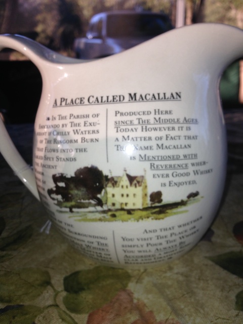
The Secret # 107 jug view #2

Not a Great View
Williston Fl
IMG_9597.JPG
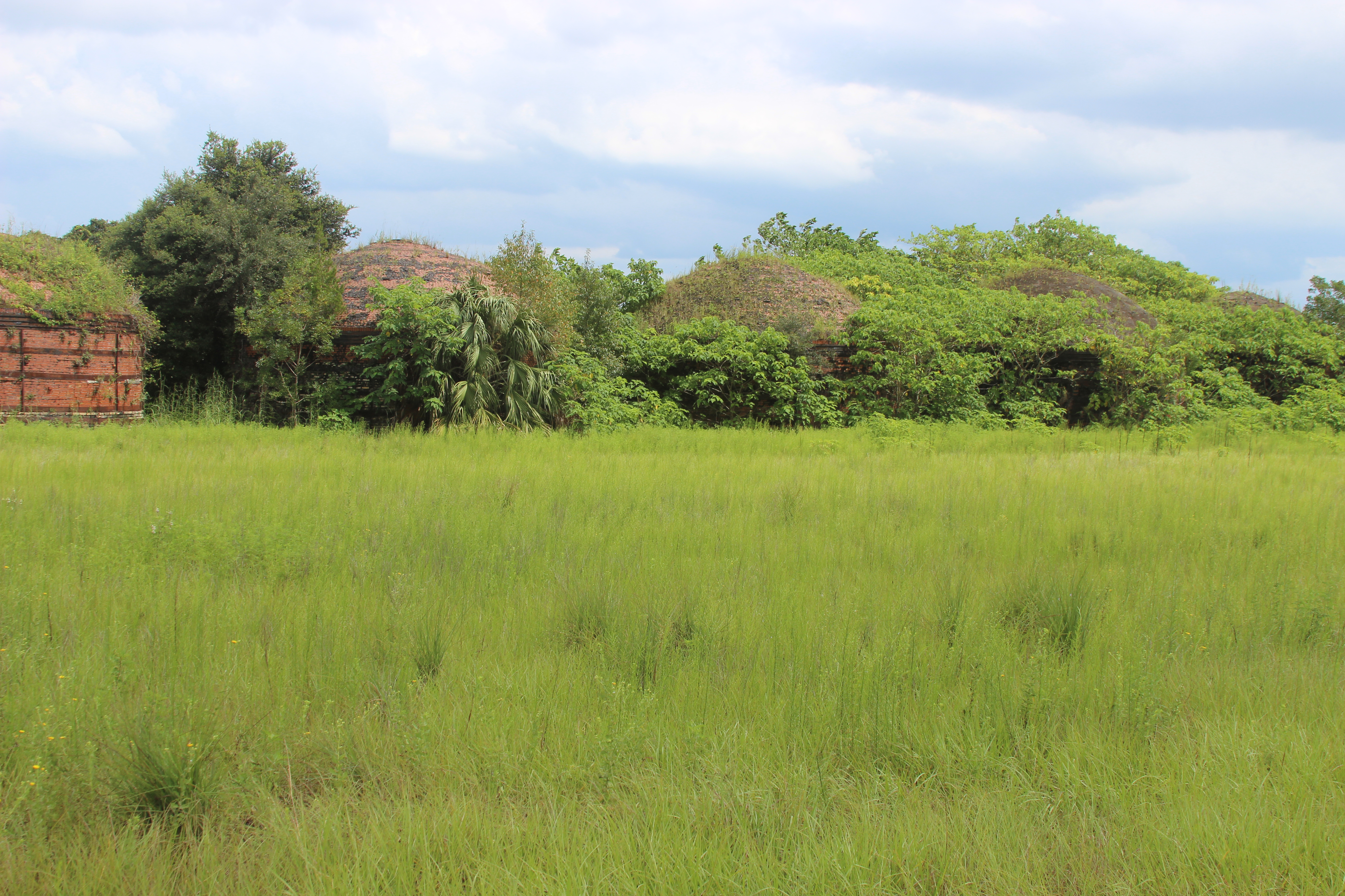
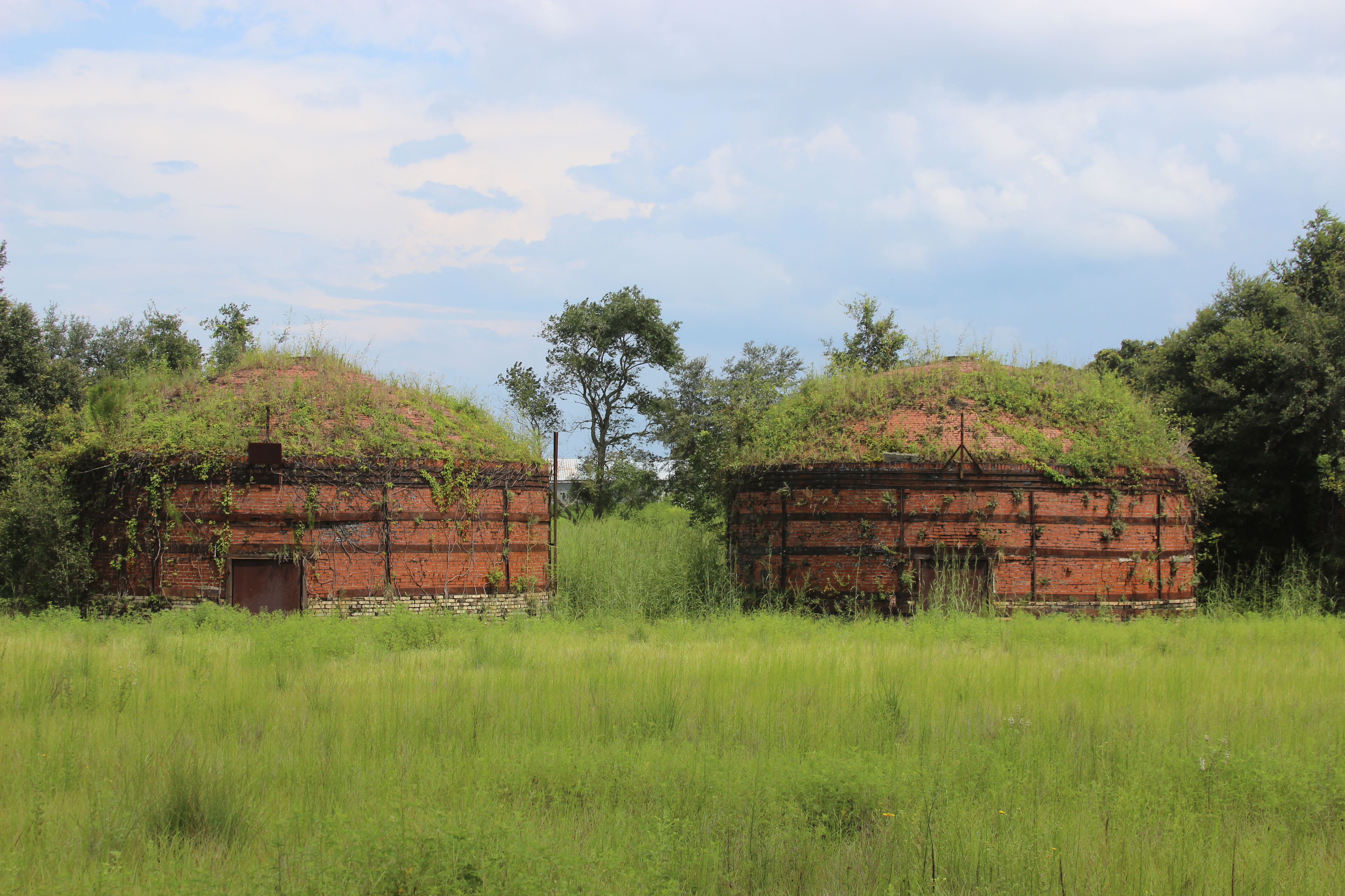
Nature is taking them back...
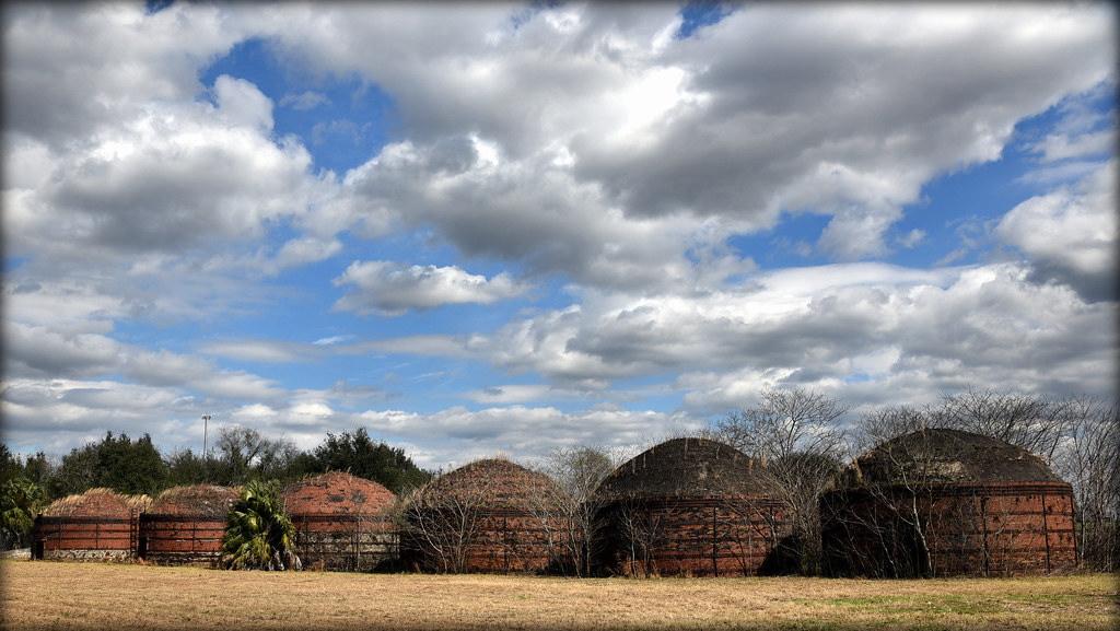
Coke Ovens
Water's edge
Williston west of Gainsville Devil' Den
Wintered Kilns In Romeo
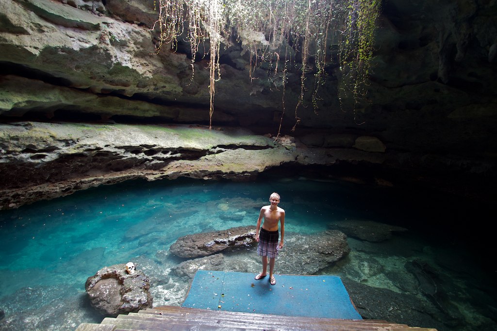
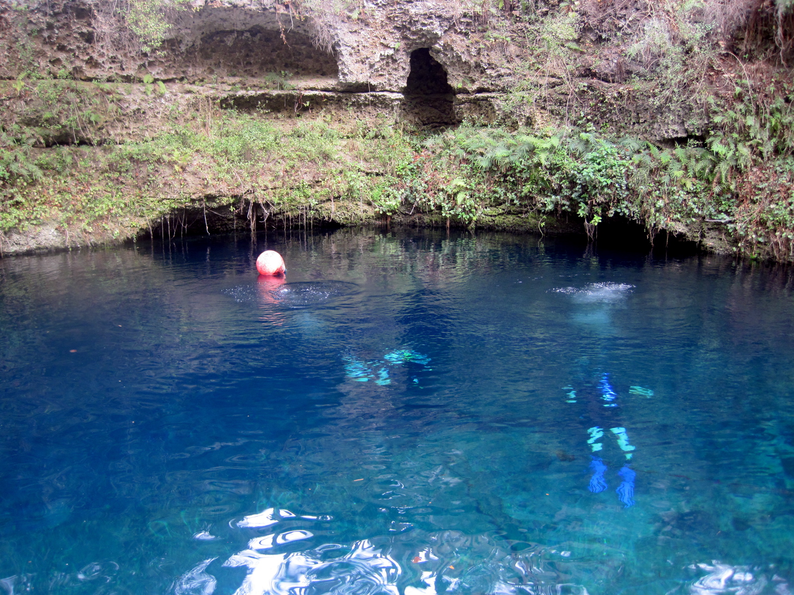
Devil's Den
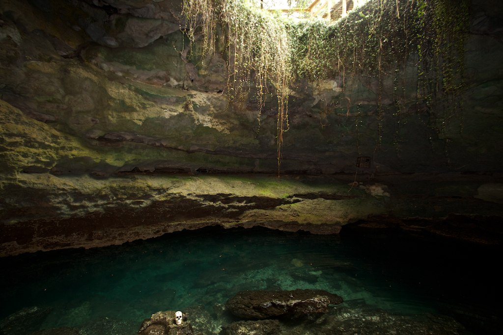
Devil's Den

Launch Point
Cedar Lakes 8
The buzz

IMG_9586.JPG
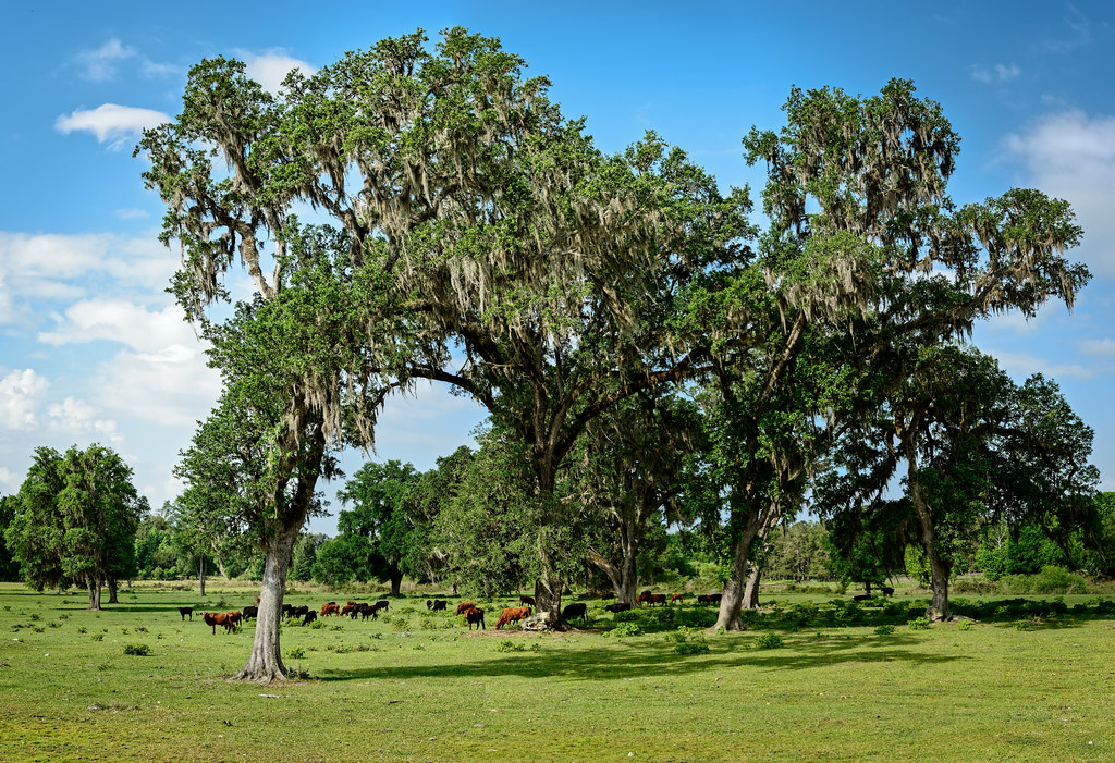
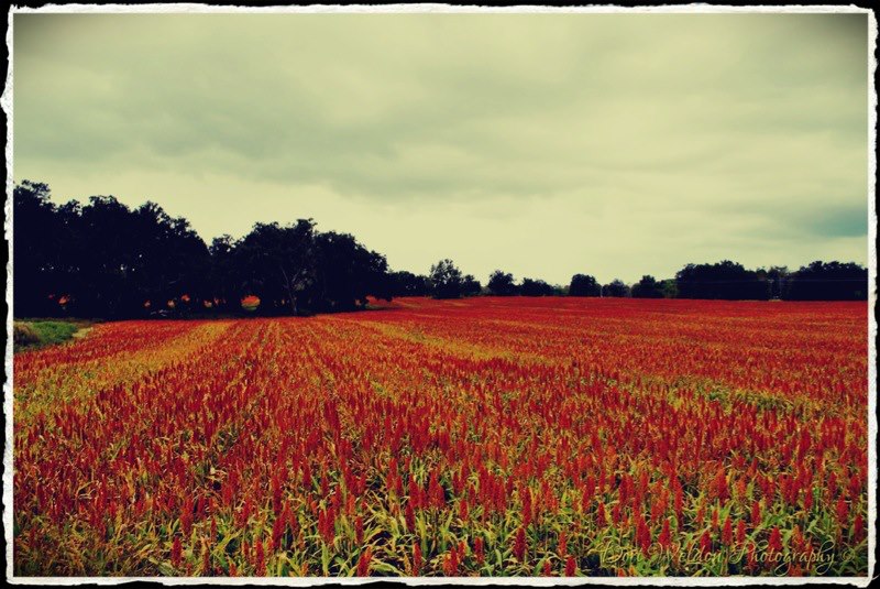
Greener Pastures

Train Track Wildflowers

Project 365- 53-365

On the trail
Topographic Map of FL-, Morriston, FL, USA
Find elevation by address:

Places near FL-, Morriston, FL, USA:
13551 Se 30th St
13791 Se 30th St
2850 Se 148th Terrace
1651 Fl-121
1651 Fl-121
1651 Fl-121
1351 Fl-121
14631 E Levy St
Williston Highlands
625 Ne 151 Terrace
12251 Se 53rd Ln
250 Ne 130th Ave
13331 Ne 5th St
Northeast 136th Court
14951 Se 63rd Ln
12250 Se 57 St
6490 Se 150 Ave
13530 Ne 10 St
14851 Se 66th Pl
1750 Se 111 Ct
Recent Searches:
- Elevation of N, Mt Pleasant, UT, USA
- Elevation of 6 Rue Jules Ferry, Beausoleil, France
- Elevation of Sattva Horizon, 4JC6+G9P, Vinayak Nagar, Kattigenahalli, Bengaluru, Karnataka, India
- Elevation of Great Brook Sports, Gold Star Hwy, Groton, CT, USA
- Elevation of 10 Mountain Laurels Dr, Nashua, NH, USA
- Elevation of 16 Gilboa Ln, Nashua, NH, USA
- Elevation of Laurel Rd, Townsend, TN, USA
- Elevation of 3 Nestling Wood Dr, Long Valley, NJ, USA
- Elevation of Ilungu, Tanzania
- Elevation of Yellow Springs Road, Yellow Springs Rd, Chester Springs, PA, USA