Elevation of FL-64, Myakka City, FL, USA
Location: United States > Florida > Manatee County > Myakka City >
Longitude: -82.075034
Latitude: 27.468083
Elevation: 27m / 89feet
Barometric Pressure: 101KPa
Elevation Map:
Satellite Map:
Related Photos:
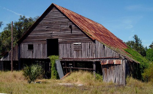
Deserted Barn in the ghost town of Castalia, Florida - 3300+ views
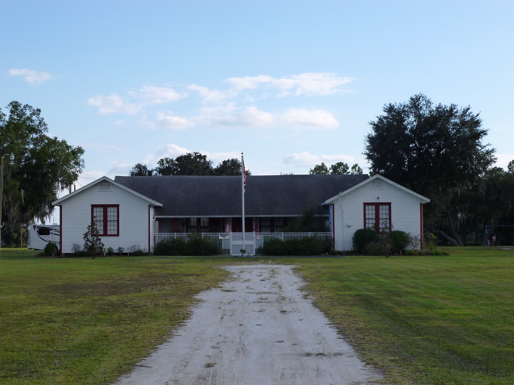
Duette School

_D2_7154.jpg

Country Oak
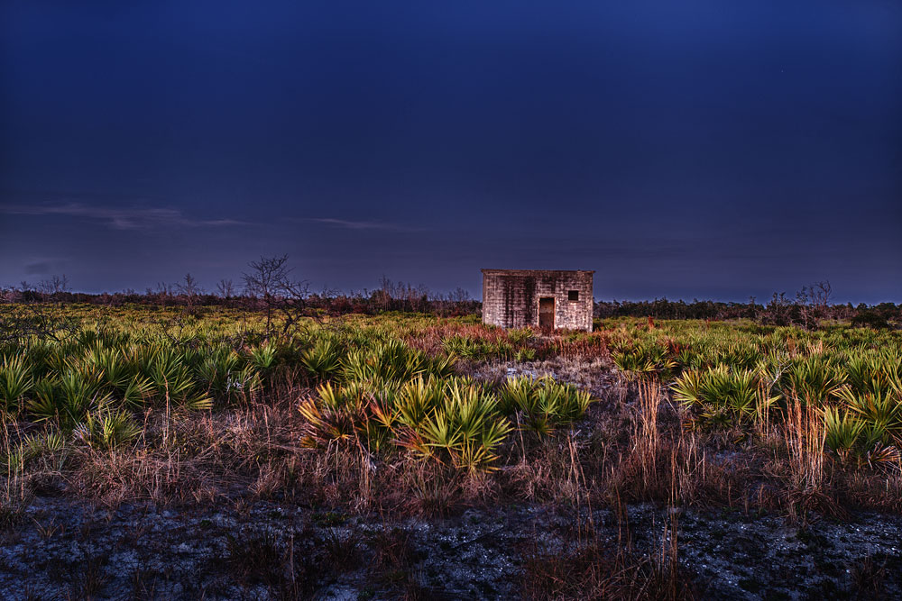
Pump House (Revisited), State Road 64
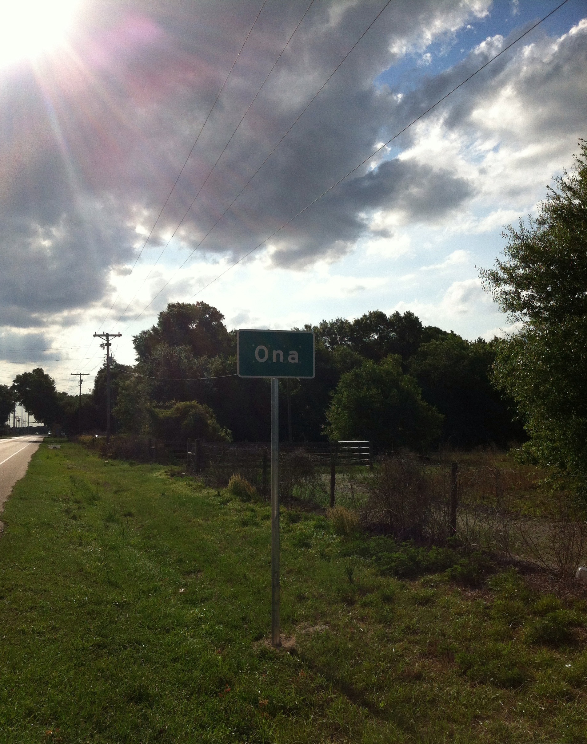
Ona Florida
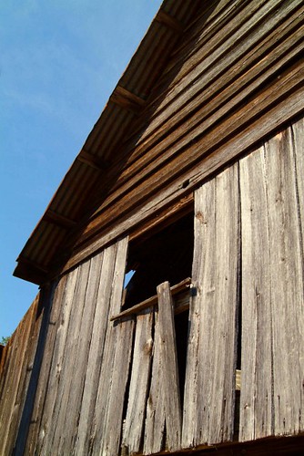
Barn Window
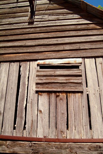
Barn Window

Sixspotted Fishing Spider
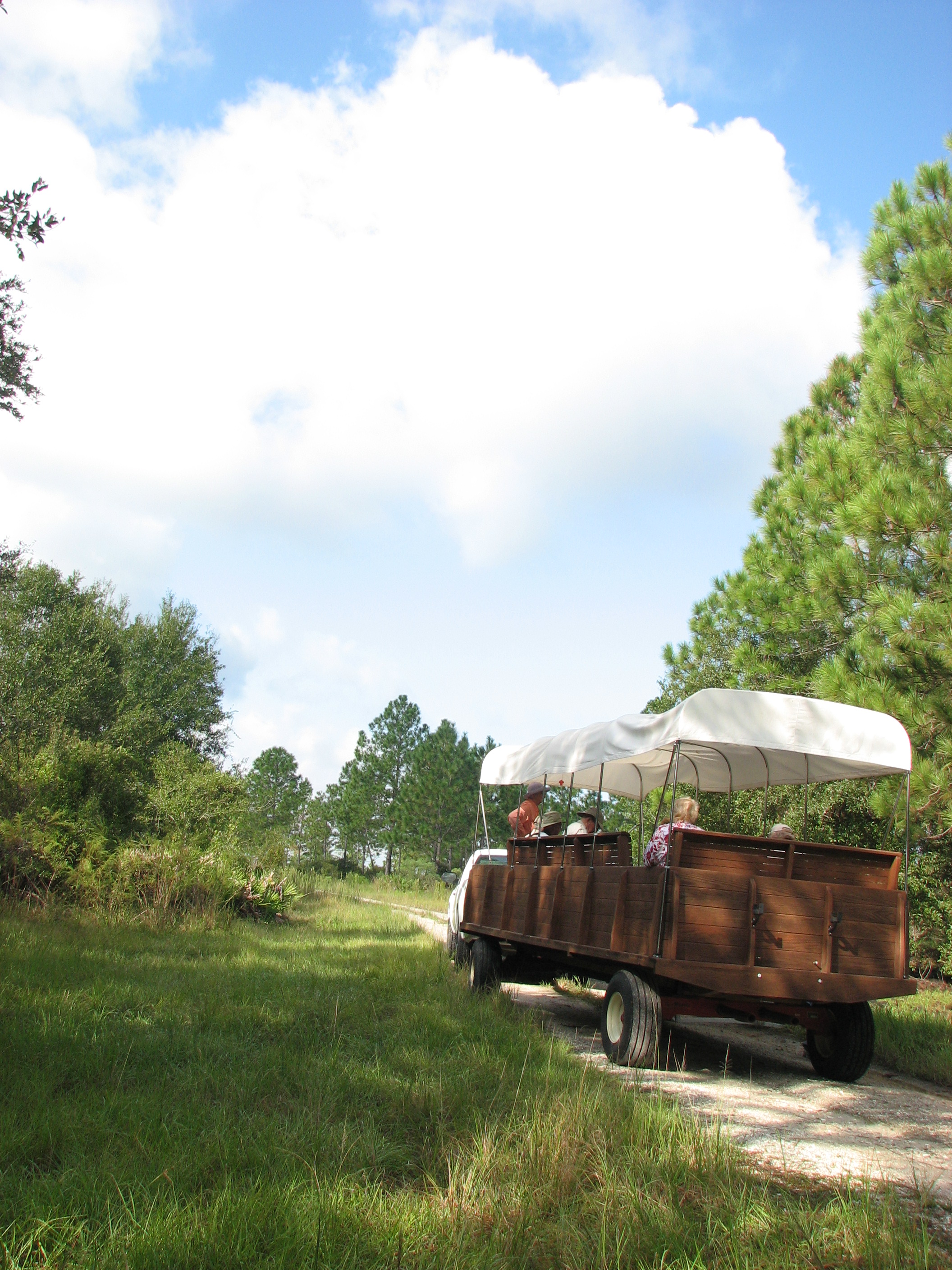
Duette Wagon Tour
Topographic Map of FL-64, Myakka City, FL, USA
Find elevation by address:

Places near FL-64, Myakka City, FL, USA:
44575 Bradenton-arcadia Rd
44125 Fl-64
44225 Fl-64
5230 Wauchula Rd
5560 Juel Gill Rd
4621 405th St E
4610 403rd St E
40120 Fl-64
1041 397th Ct E
8124 Madison Rd
Logue Road
38155 Taylor Rd
Keentown Rd, Duette, FL, USA
FL-62, Duette, FL, USA
Duette
FL-62, Bowling Green, FL, USA
Ona
34219 Fl-62
Bunker Hill Rd, Duette, FL, USA
Morgan Trailers, Inc
Recent Searches:
- Elevation of Lampiasi St, Sarasota, FL, USA
- Elevation of Elwyn Dr, Roanoke Rapids, NC, USA
- Elevation of Congressional Dr, Stevensville, MD, USA
- Elevation of Bellview Rd, McLean, VA, USA
- Elevation of Stage Island Rd, Chatham, MA, USA
- Elevation of Shibuya Scramble Crossing, 21 Udagawacho, Shibuya City, Tokyo -, Japan
- Elevation of Jadagoniai, Kaunas District Municipality, Lithuania
- Elevation of Pagonija rock, Kranto 7-oji g. 8"N, Kaunas, Lithuania
- Elevation of Co Rd 87, Jamestown, CO, USA
- Elevation of Tenjo, Cundinamarca, Colombia