Elevation of FL-51, Mayo, FL, USA
Location: United States > Florida > Lafayette County > Mayo >
Longitude: -83.277392
Latitude: 29.931626
Elevation: 21m / 69feet
Barometric Pressure: 101KPa
Elevation Map:
Satellite Map:
Related Photos:
100827094

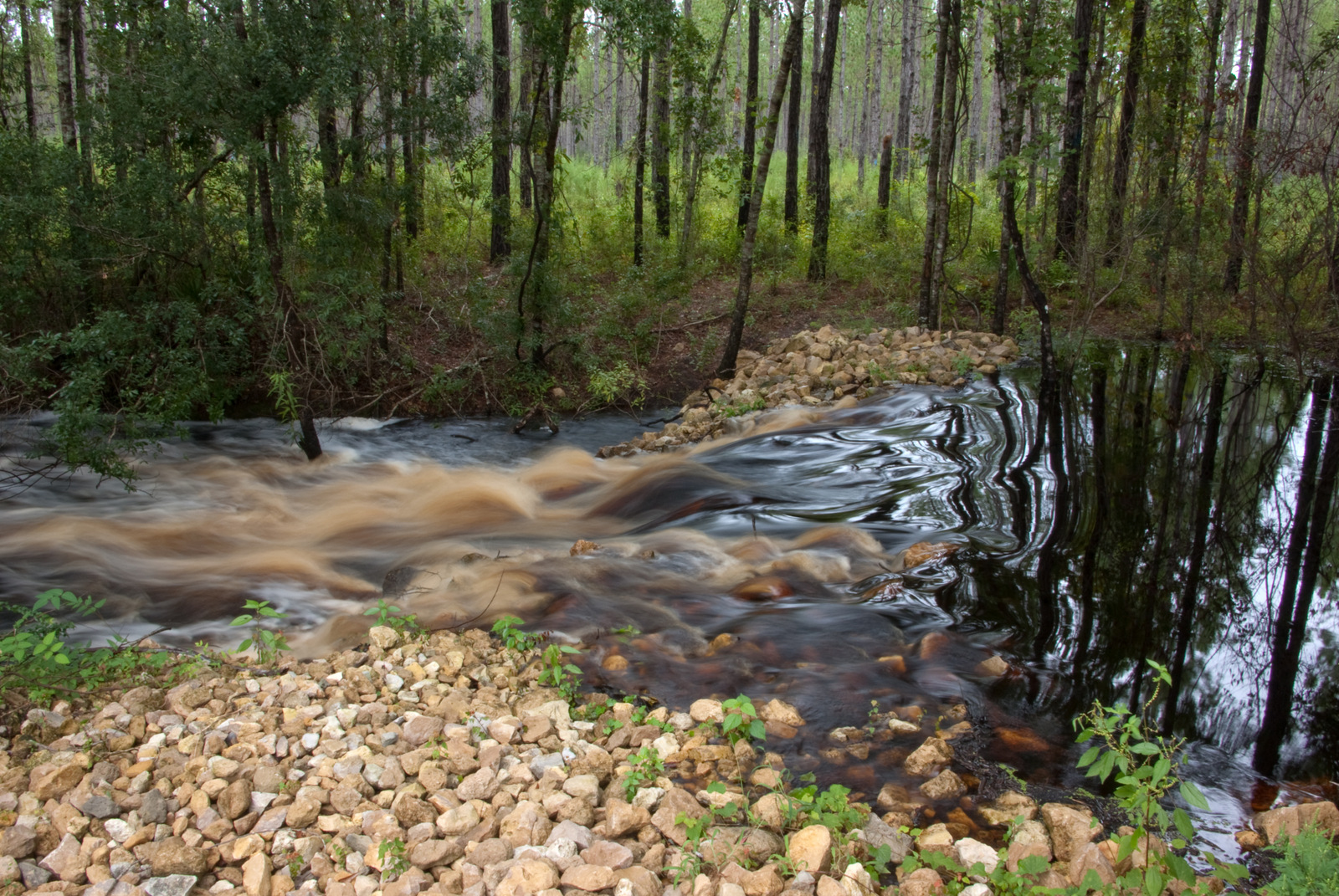
Waterway
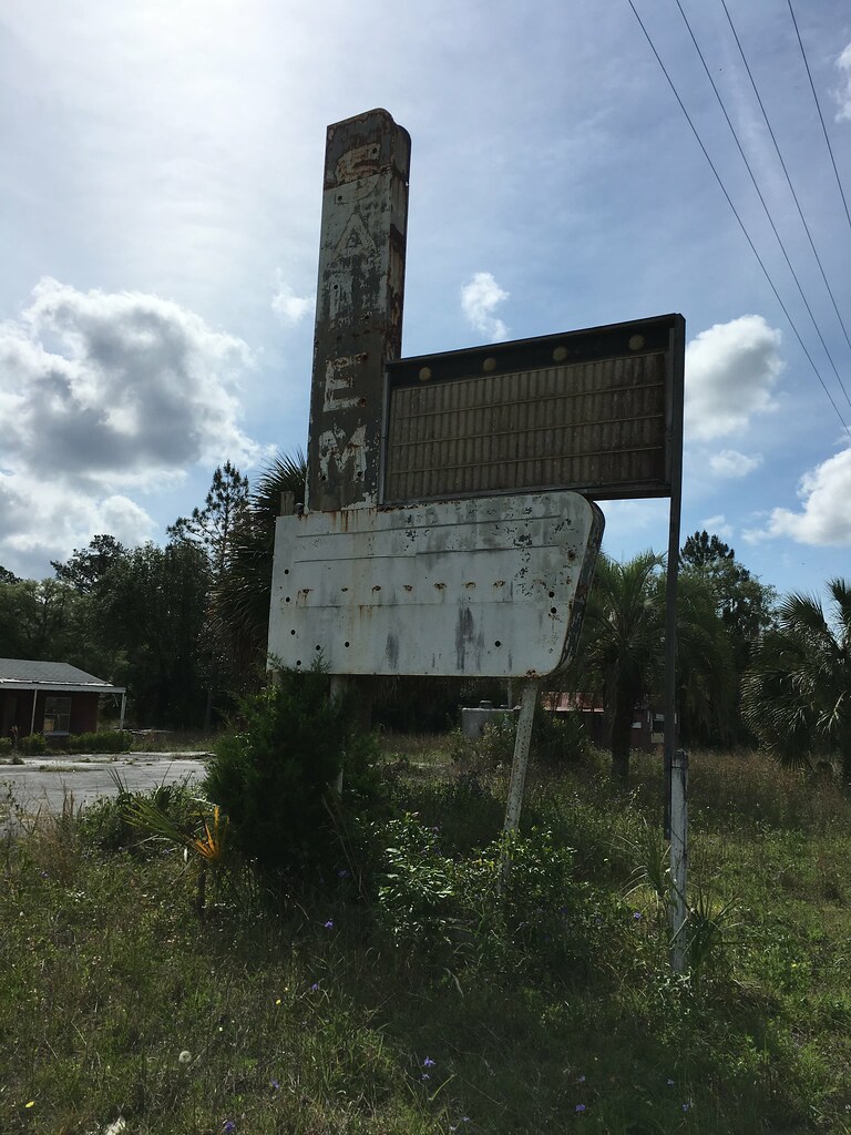
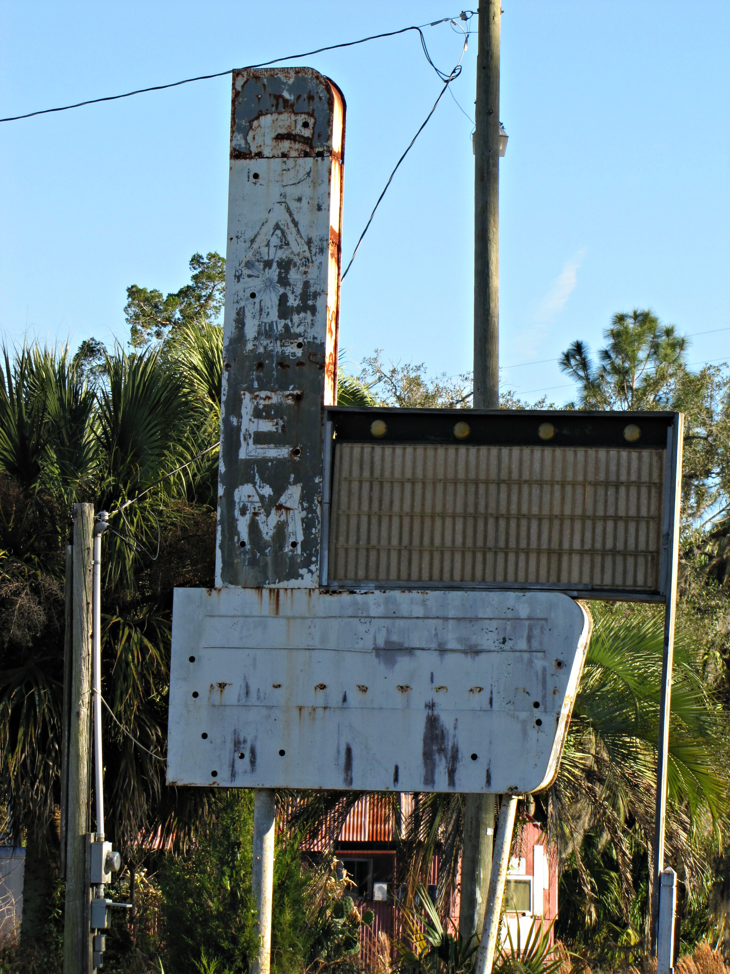
Salem Motel Ghost Neon Salem FL

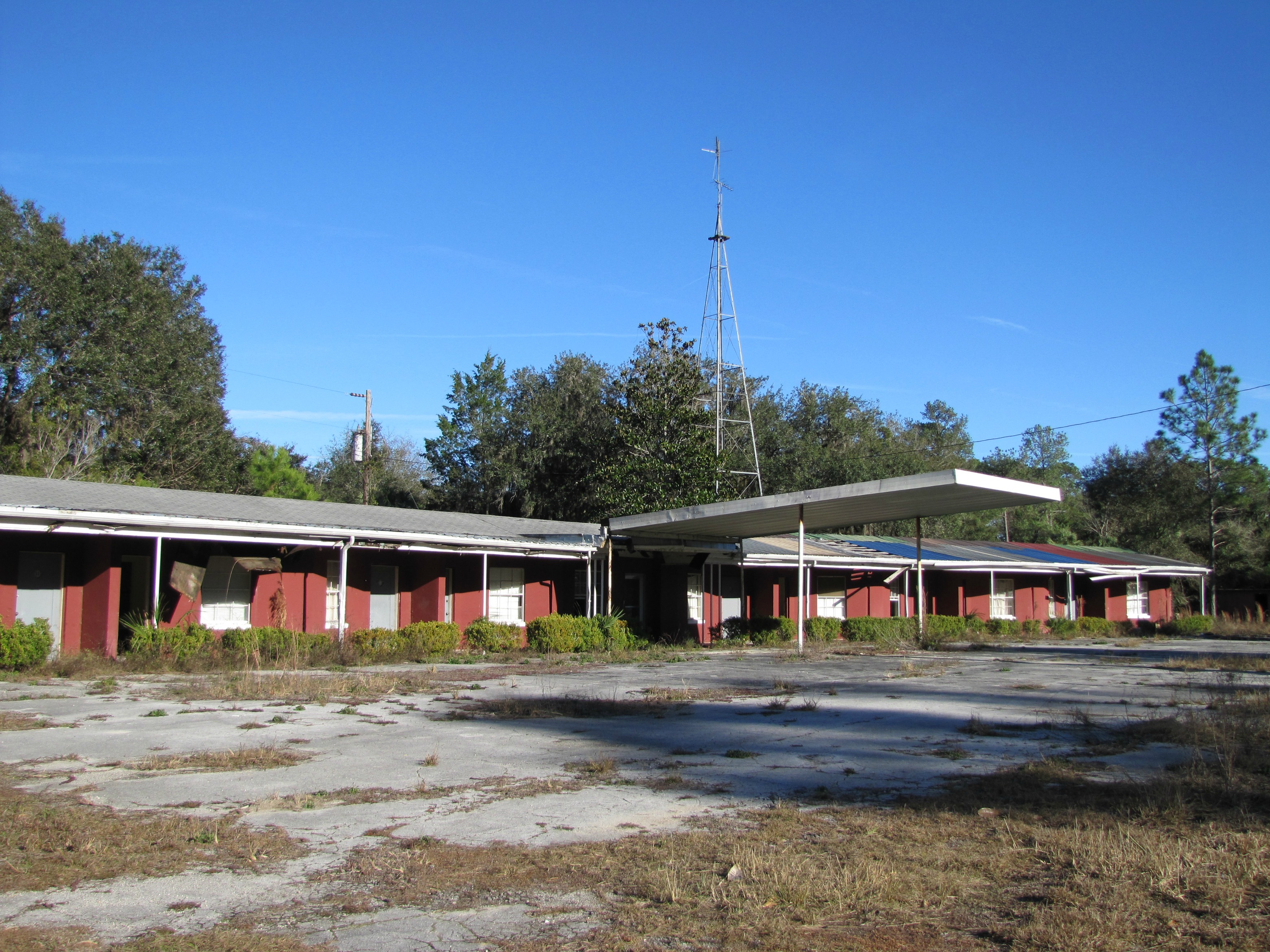
Salem Motel (2 of 2)
Salem Motel (1 of 2)

Old Spring Container

Wide Bridge

Steinhatchee Spring

Dried Up

Wooden Bridge

Spring in the Sun

Wide from the Bridge

Sunny Wooden Bridge

North Florida

Tire spray

Atlantis Squiggles
Topographic Map of FL-51, Mayo, FL, USA
Find elevation by address:

Places near FL-51, Mayo, FL, USA:
Lafayette County
US-19, Salem, FL, USA
Salem
276 S Fletcher Ave
Mayo
NW Harold Winburn Rd, Mayo, FL, USA
18883 229th Dr
274 Nw S Whitewater Trail
327 Nw S Whitewater Trail
220 N White Water Trail
7135 Jody Morgan Rd
7135 Jody Morgan Rd
Cessna Circle
18475 213th Dr
799 Blue Springs Rd
7780 Se County Rd 360
229th Drive
NW County Rd, Mayo, FL, USA
176th Street
194 Sw 126th Ave
Recent Searches:
- Elevation of Fern Rd, Whitmore, CA, USA
- Elevation of 62 Abbey St, Marshfield, MA, USA
- Elevation of Fernwood, Bradenton, FL, USA
- Elevation of Felindre, Swansea SA5 7LU, UK
- Elevation of Leyte Industrial Development Estate, Isabel, Leyte, Philippines
- Elevation of W Granada St, Tampa, FL, USA
- Elevation of Pykes Down, Ivybridge PL21 0BY, UK
- Elevation of Jalan Senandin, Lutong, Miri, Sarawak, Malaysia
- Elevation of Bilohirs'k
- Elevation of 30 Oak Lawn Dr, Barkhamsted, CT, USA