Elevation of Fjellbuveien, Elvegard, Norway
Location: Norway > Nordland > Narvik >
Longitude: 17.5624999
Latitude: 68.1685206
Elevation: 111m / 364feet
Barometric Pressure: 100KPa
Elevation Map:
Satellite Map:
Related Photos:

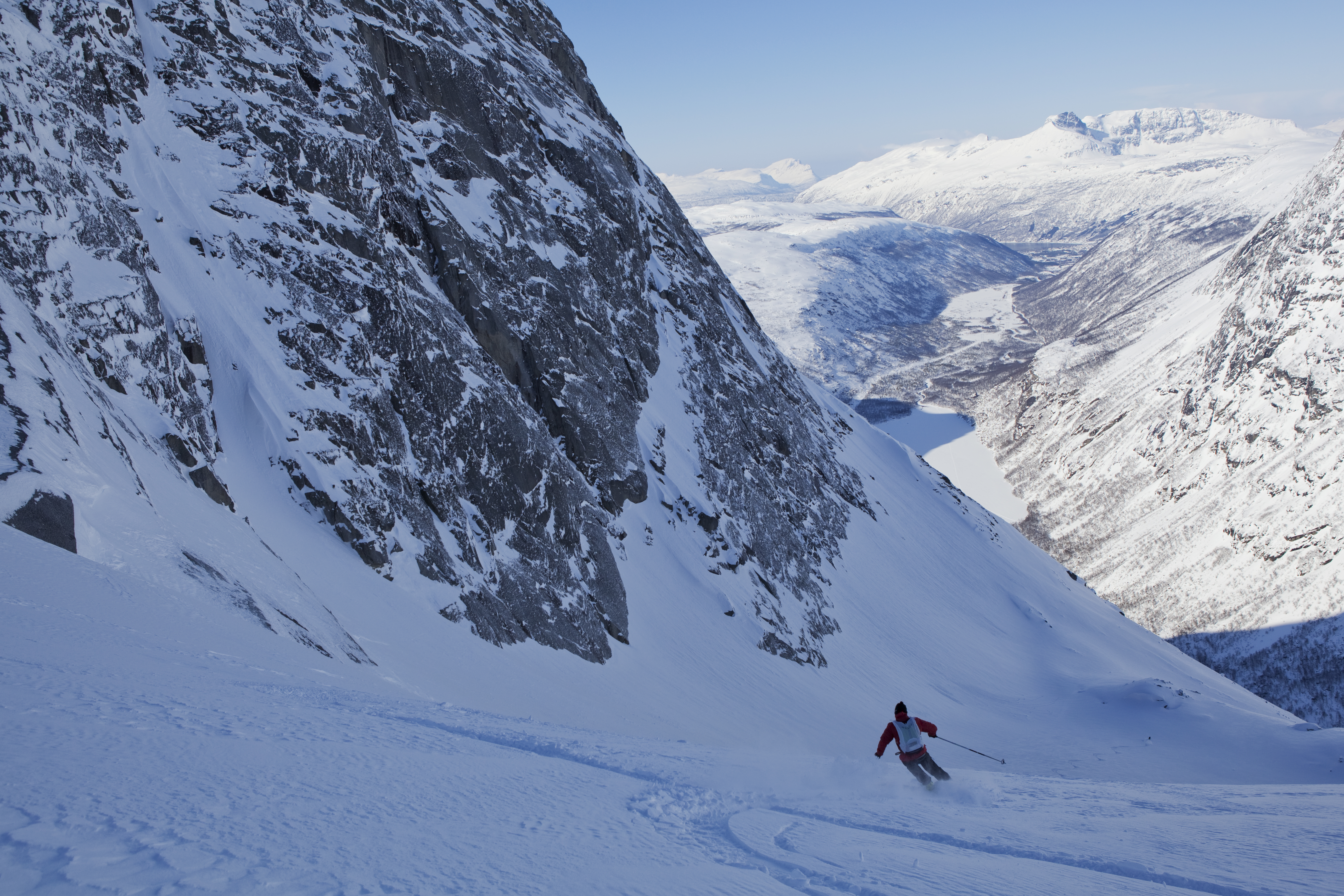
The first tracks ever?
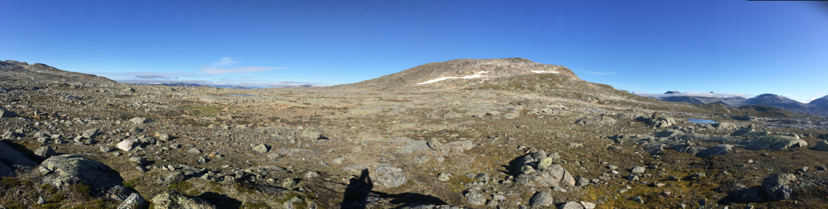
East of Nihkecohkka (1267 m)

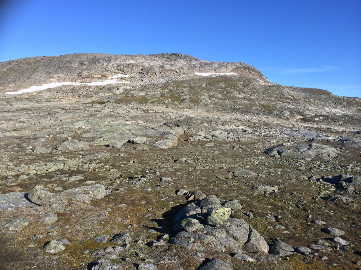
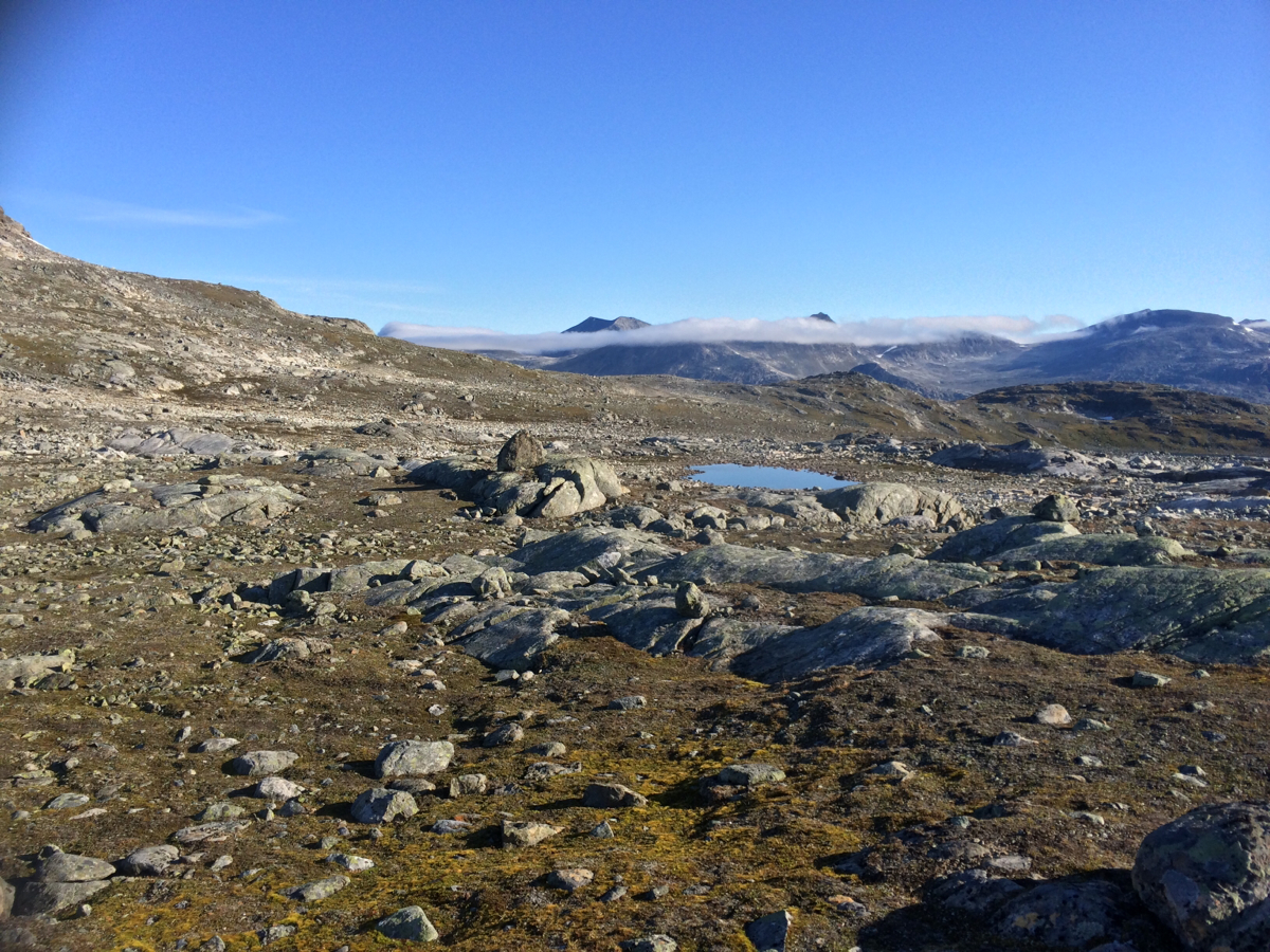
Gautelifjelet, Norway
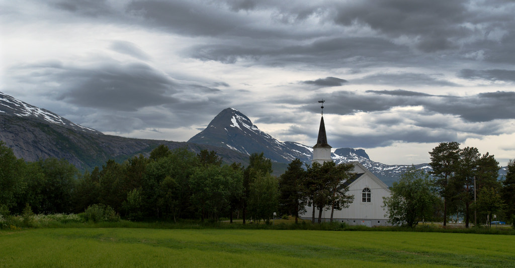
Elvegård kirke utenfor Narvik
Camera Roll-702

Nordkalottleden trail, Norway
Camera Roll-697
Camera Roll-699
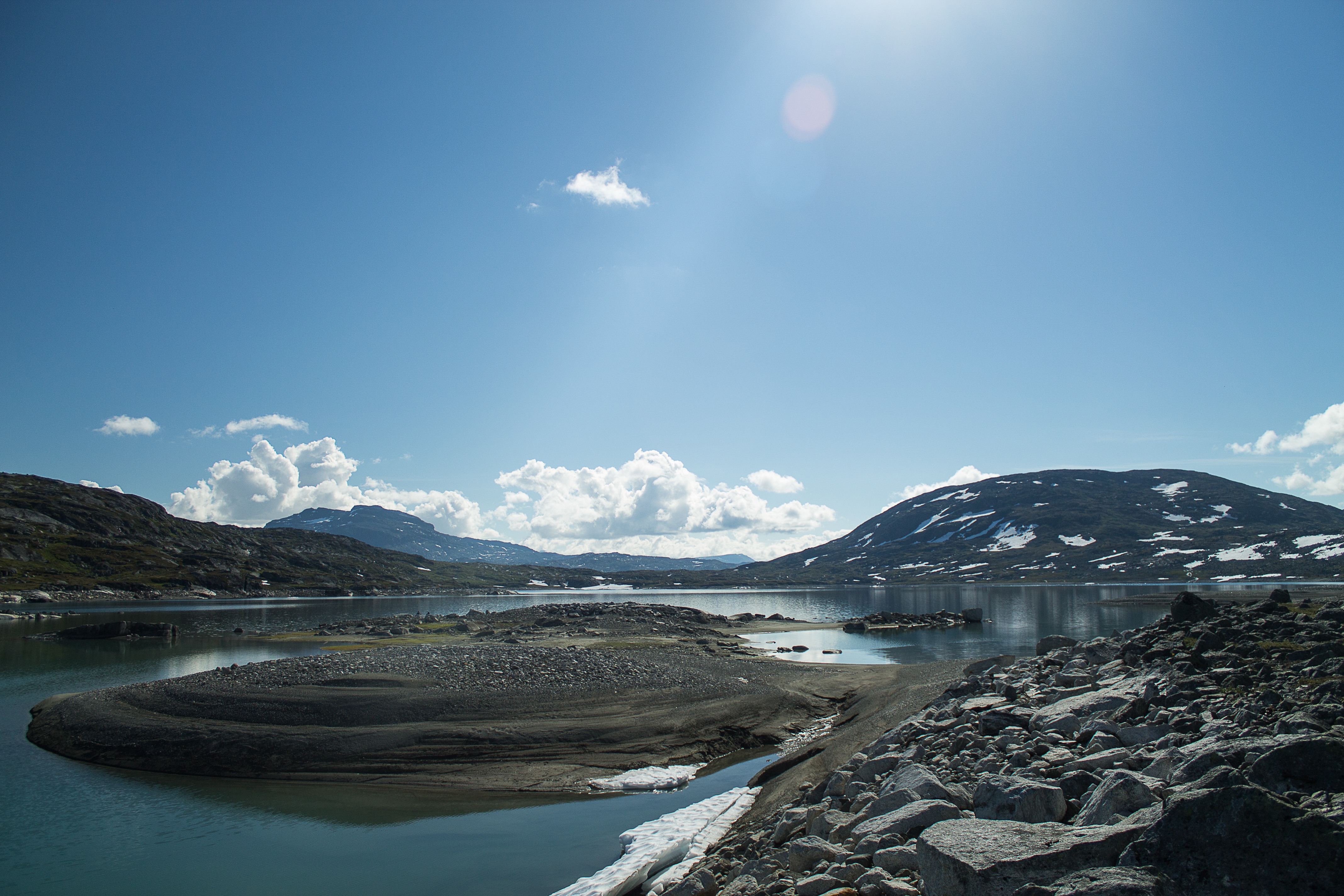
Kjørris, the big lake 3
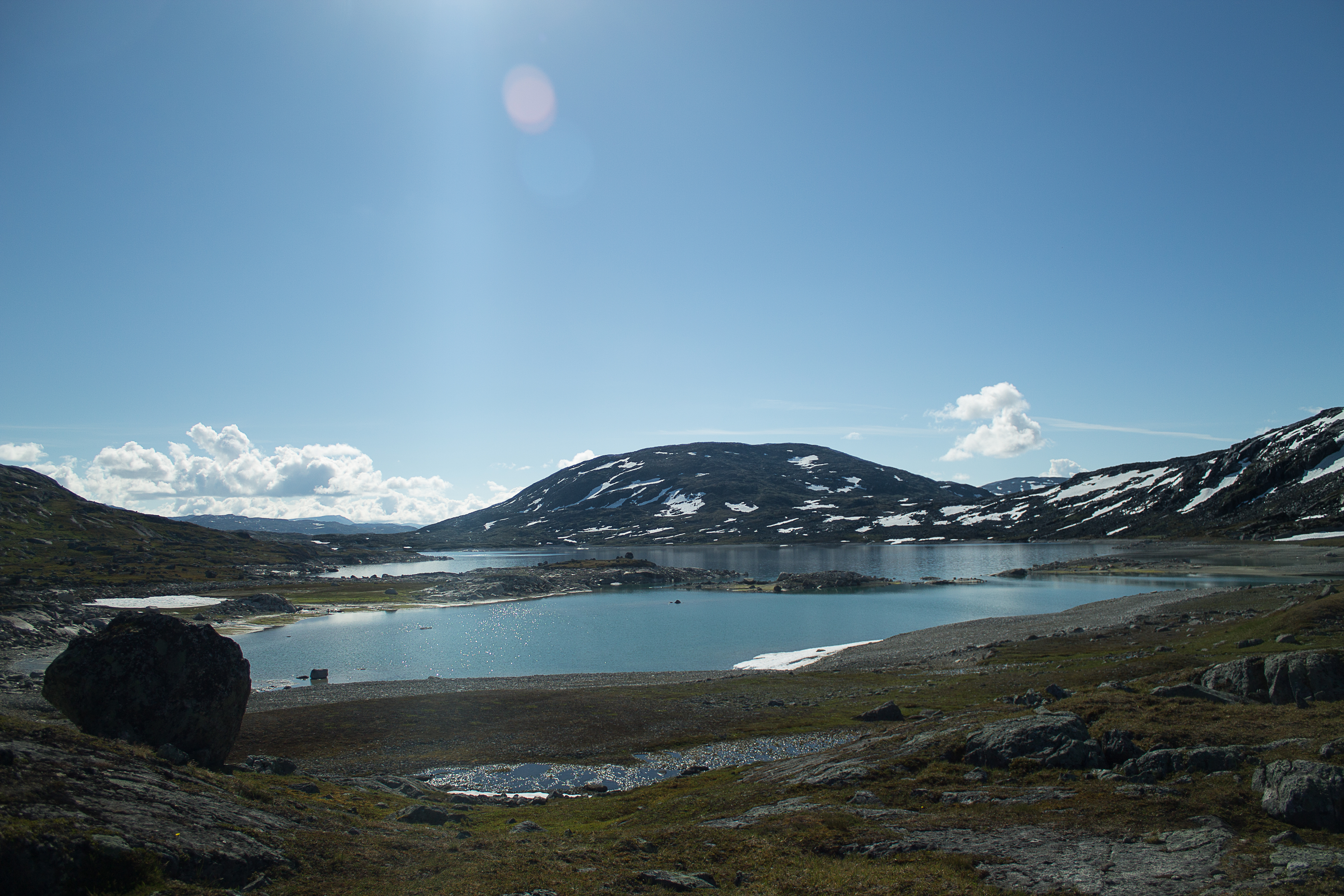
Kjørris, the big lake 2
Topographic Map of Fjellbuveien, Elvegard, Norway
Find elevation by address:

Places near Fjellbuveien, Elvegard, Norway:
Recent Searches:
- Elevation of Corso Fratelli Cairoli, 35, Macerata MC, Italy
- Elevation of Tallevast Rd, Sarasota, FL, USA
- Elevation of 4th St E, Sonoma, CA, USA
- Elevation of Black Hollow Rd, Pennsdale, PA, USA
- Elevation of Oakland Ave, Williamsport, PA, USA
- Elevation of Pedrógão Grande, Portugal
- Elevation of Klee Dr, Martinsburg, WV, USA
- Elevation of Via Roma, Pieranica CR, Italy
- Elevation of Tavkvetili Mountain, Georgia
- Elevation of Hartfords Bluff Cir, Mt Pleasant, SC, USA