Elevation of Fisher Cir, Middleburg, FL, USA
Location: United States > Florida > Clay County > Middleburg >
Longitude: -81.915220
Latitude: 30.028141
Elevation: 26m / 85feet
Barometric Pressure: 101KPa
Elevation Map:
Satellite Map:
Related Photos:
Black Creek, Middleburg FL
Musical Notes in bloom - another view

a chork and his doolie
John E Hayes Memorial Park
Song Sparrow (Melospiza melodia)
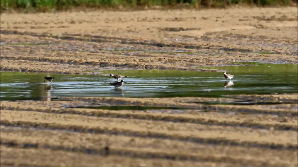
Pectoral Sandpiper (Calidris melanotos)
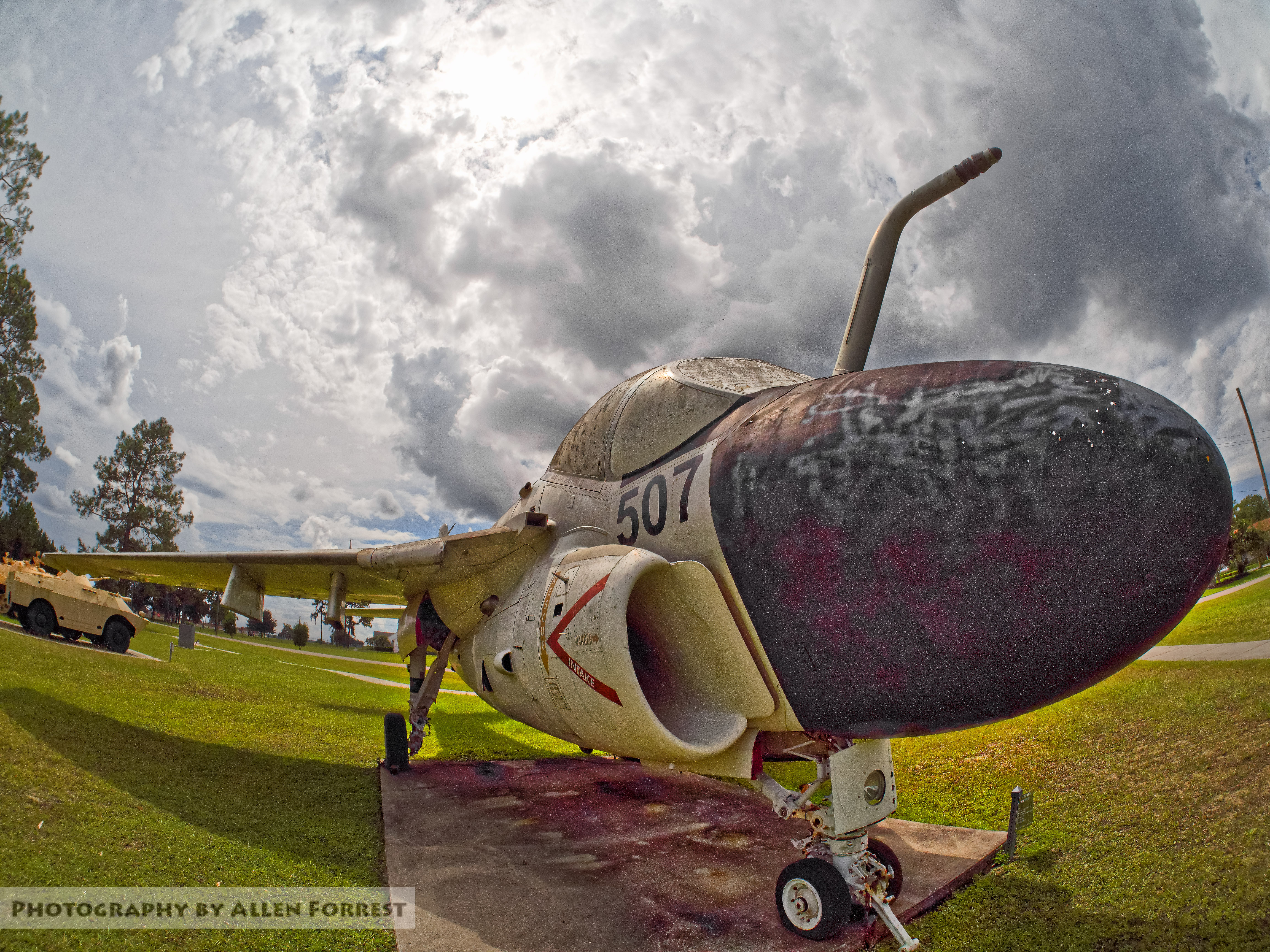
A-6 Intruder at Camp Blanding
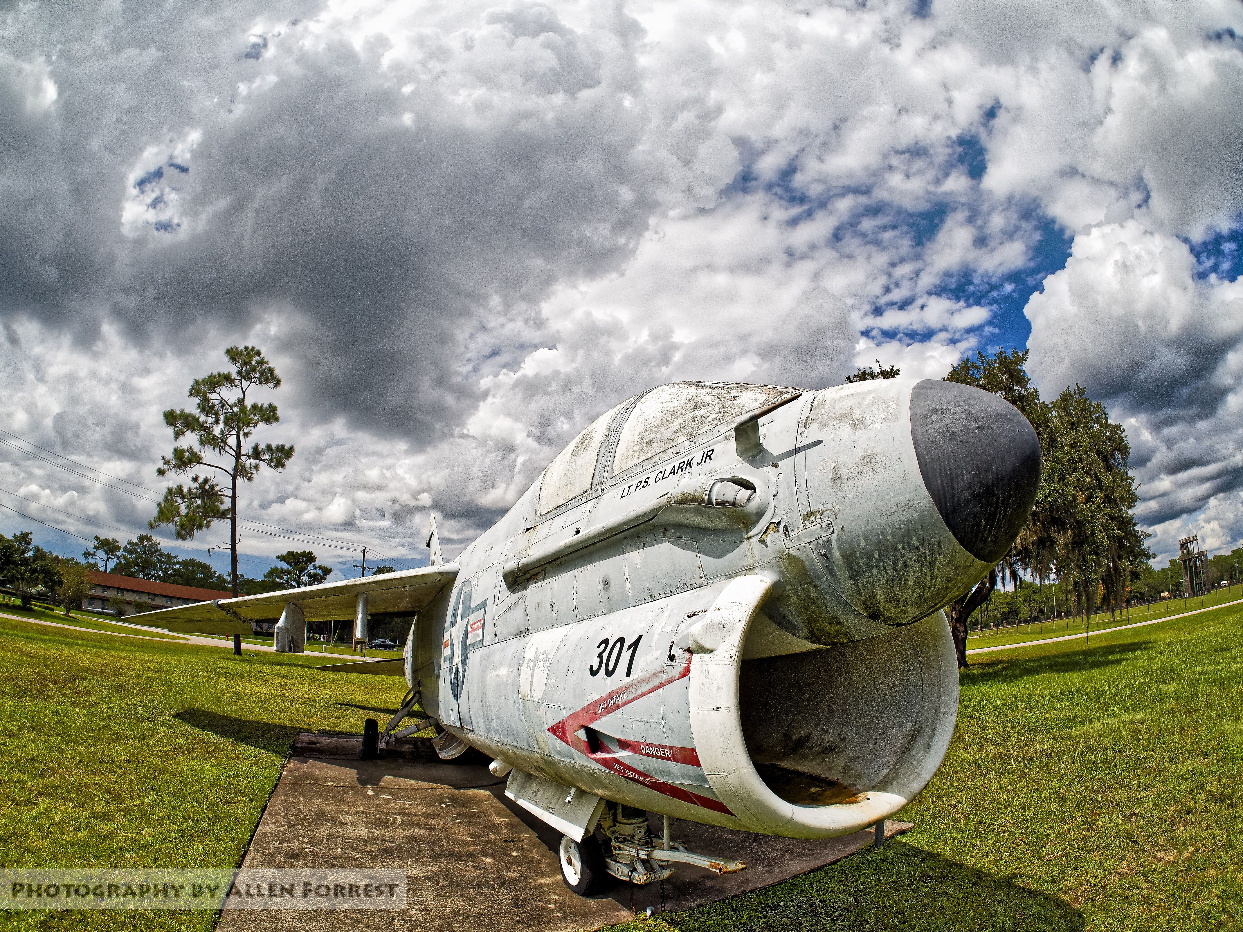
A-7 Corsair Displayed at Camp Blanding
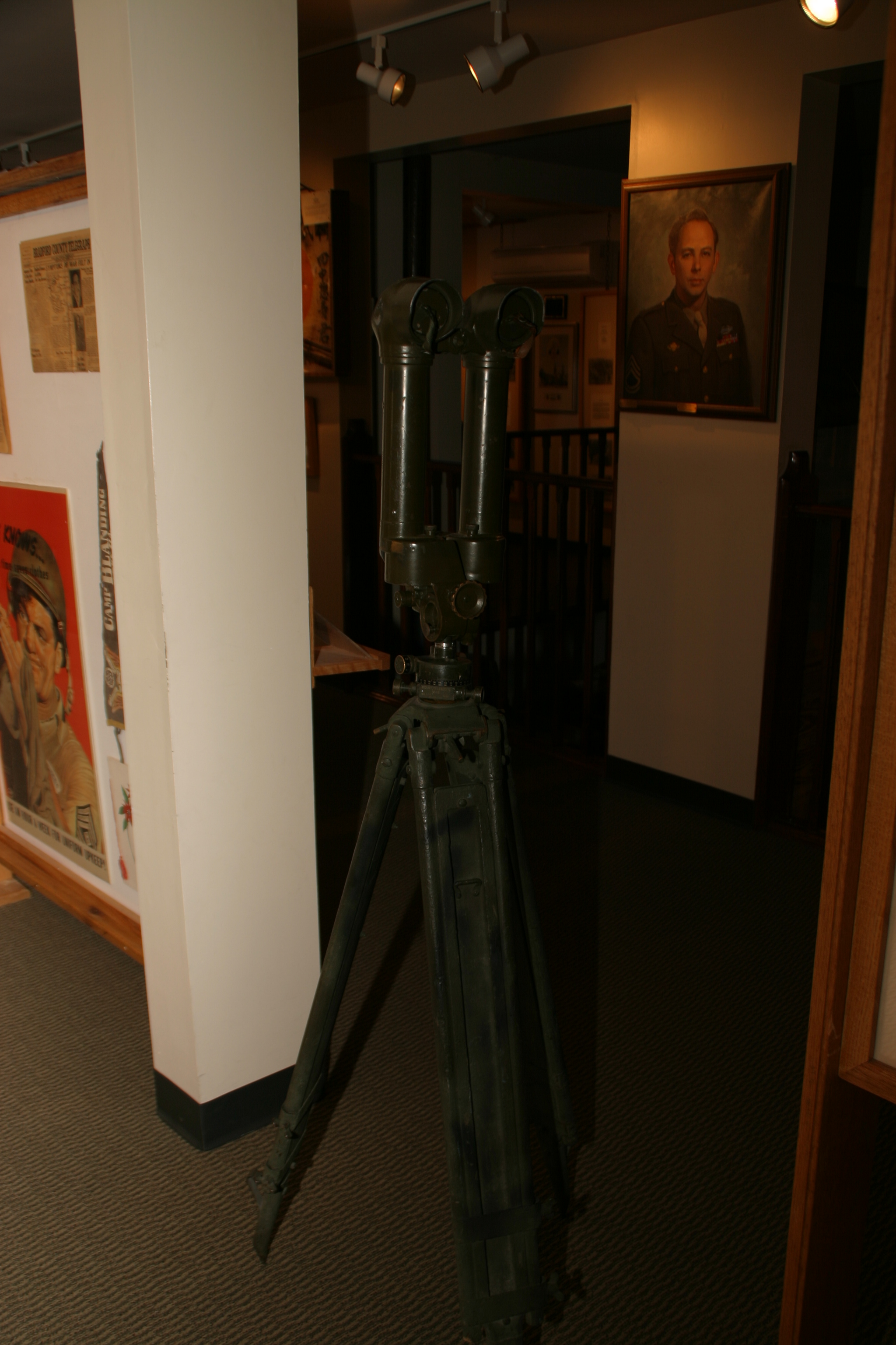
Camp Blanding - Trench Periscope
Perhaps the cutting-edge side-view mirror?
Barn Find
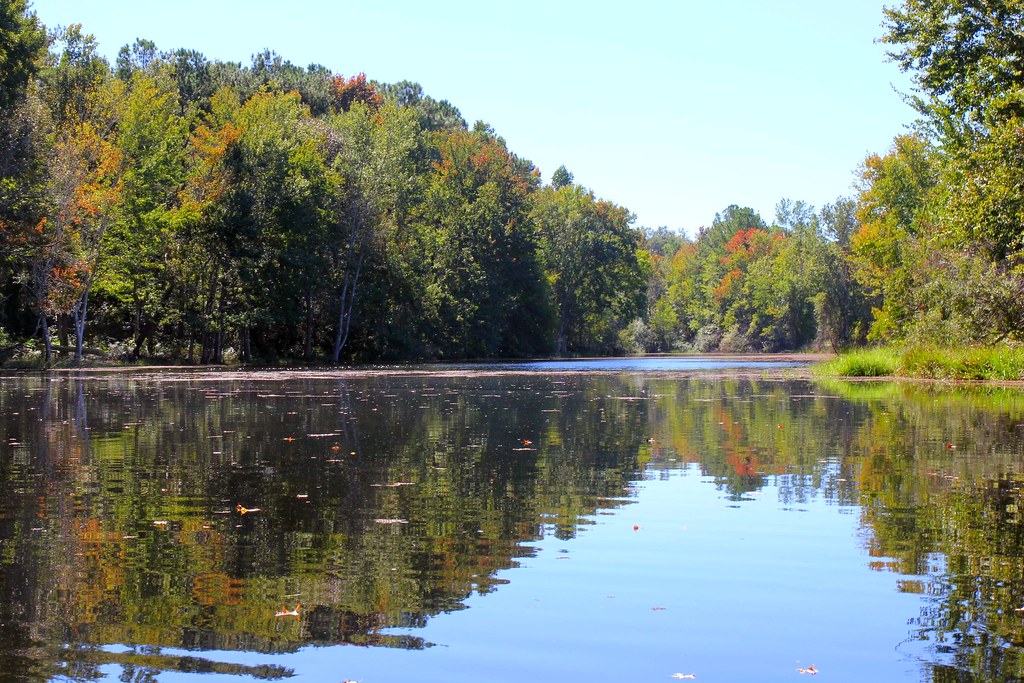
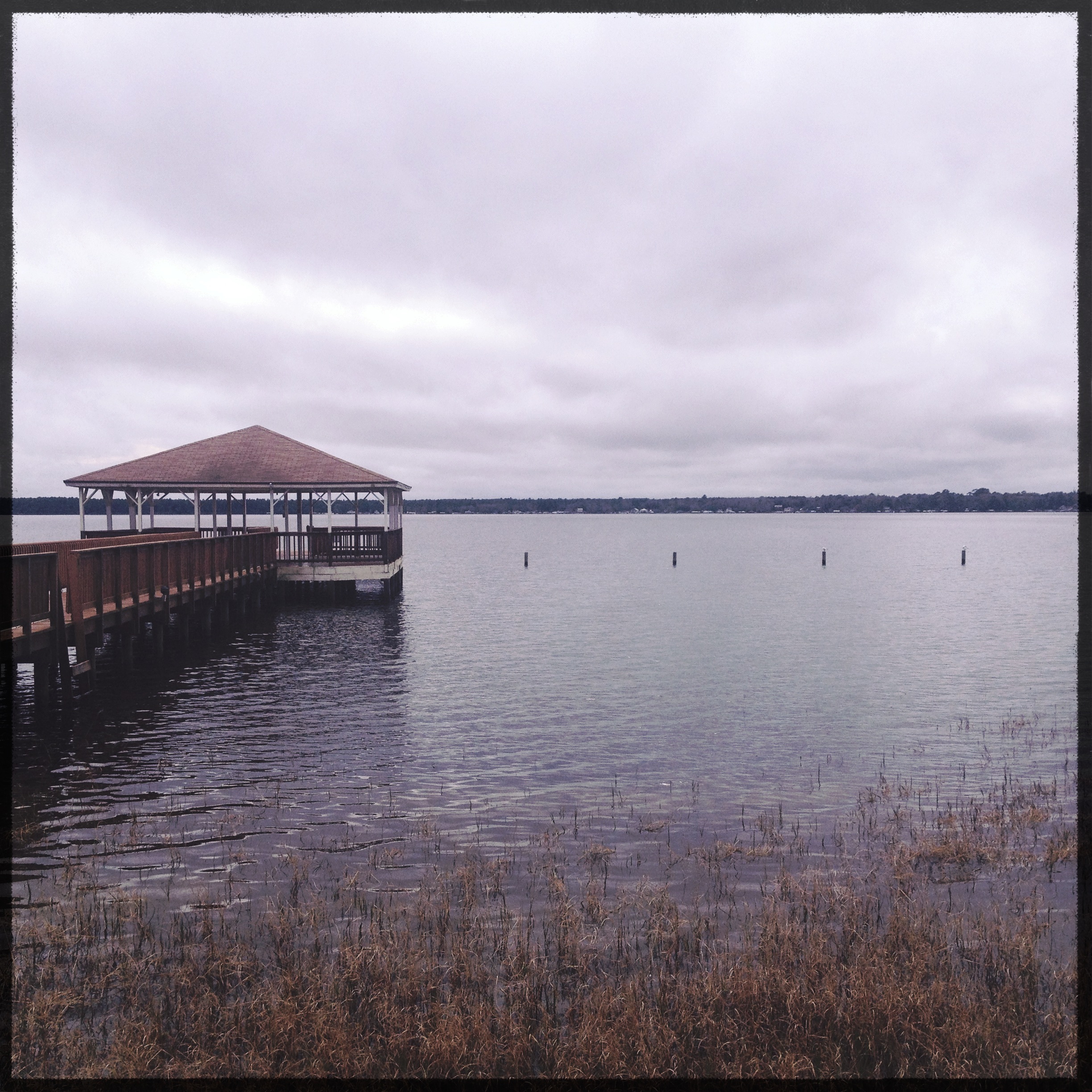
Florida fishing pond on a breezy Autumn day
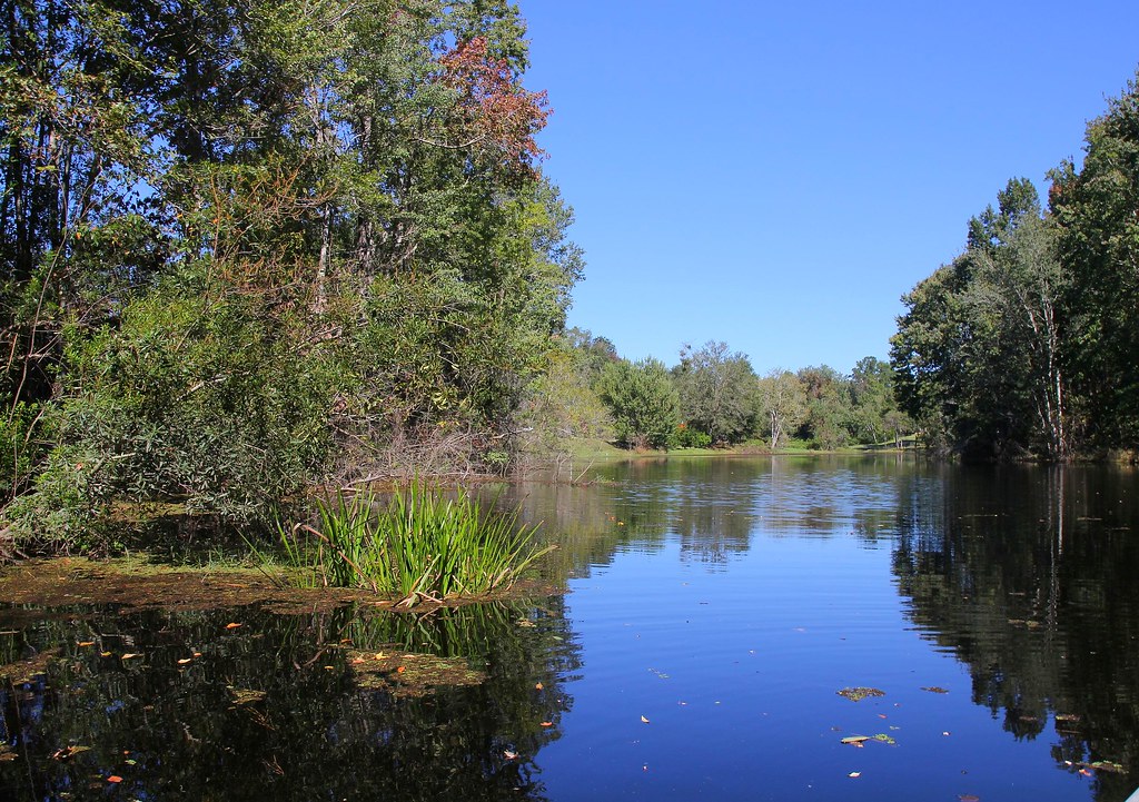
Florida fishing pond on a bright Autumn day

Camp Blanding

Camp Blanding
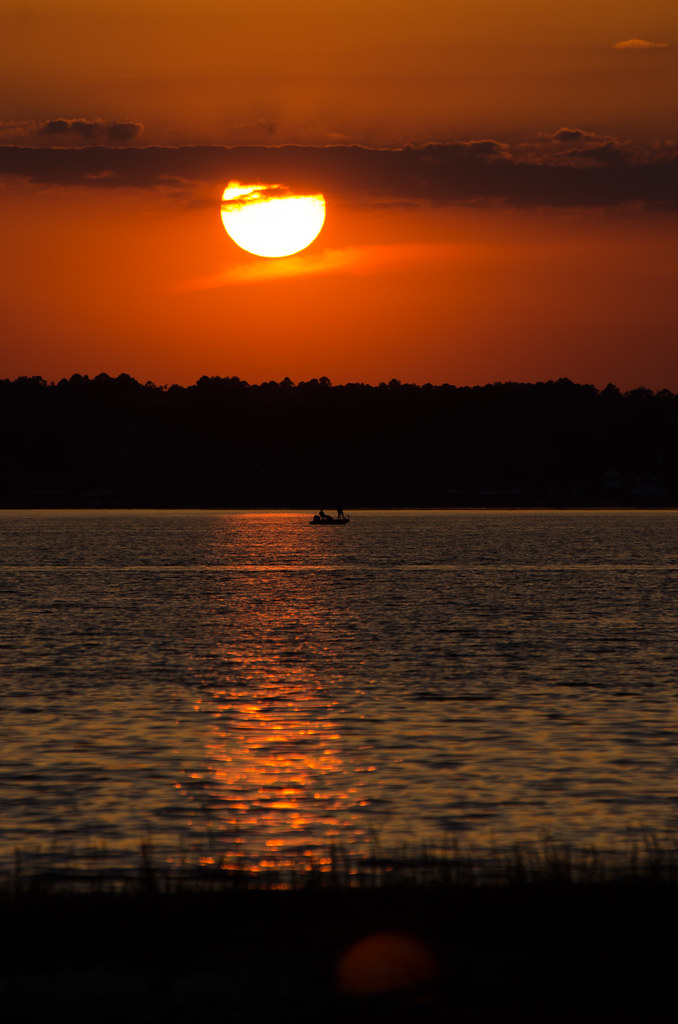
Sunset after storm
Camp Blanding

Sunset after storm
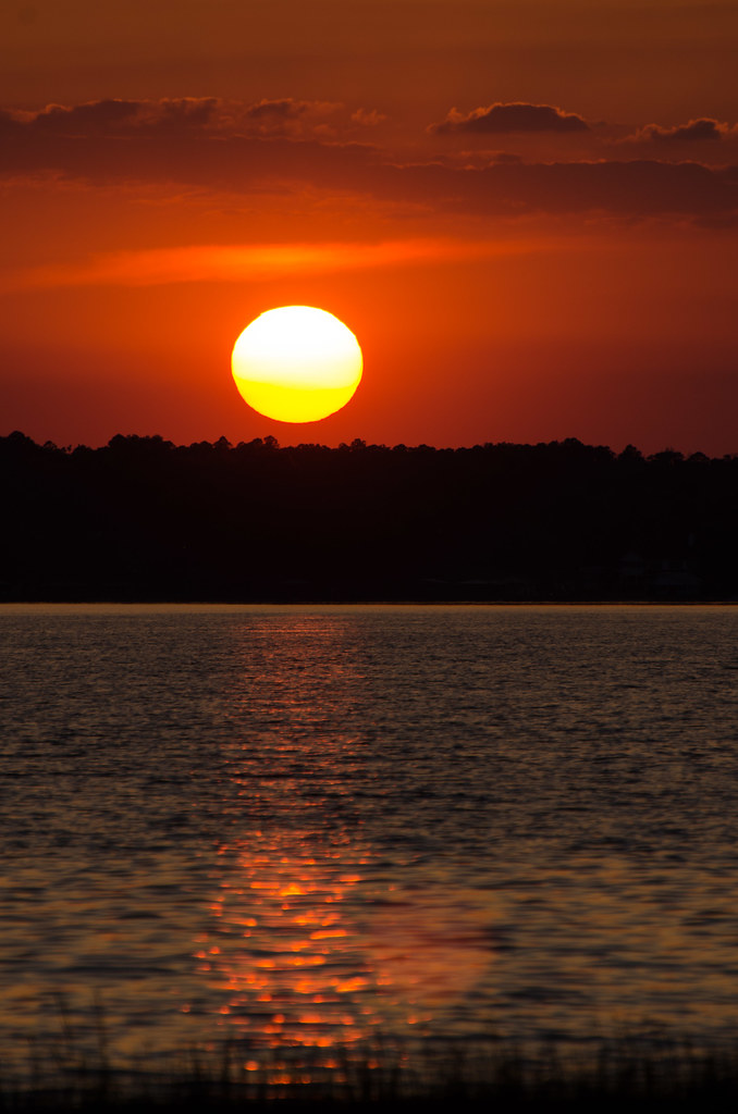
The sun setting on pines

060827_HOT 017
060827_HOT 018
Camp Blanding
Camp Blanding
Sunset after storm
lighted field II
Ripple on the pond - a fishing pond in NE Florida

Jim Dandy

Operation Sunrise Rescue

Lake Kingsley ..
Florida fishing pond
Topographic Map of Fisher Cir, Middleburg, FL, USA
Find elevation by address:

Places near Fisher Cir, Middleburg, FL, USA:
2868 Fisher Cir
County Road 215
4887 Timothy Street
2516 Cosmos Avenue
3115 Barberry Ct
4949 Joan Ave
Camp Blanding Joint Training Center
Kingsley Lake Dr, Starke, FL, USA
Co Hwy 16A, Starke, FL, USA
Lawtey
NE th St, Lawtey, FL, USA
15744 Ne 21st St
21951 Nw 41st Ave
Northwest 38 Avenue
23198 Nw 38 Ave
4091 Nw Co Rd 233
1035 Southgate Dr
KNGSLY LK, FL, USA
1411 Grand St
Starke
Recent Searches:
- Elevation of Tenjo, Cundinamarca, Colombia
- Elevation of Côte-des-Neiges, Montreal, QC H4A 3J6, Canada
- Elevation of Bobcat Dr, Helena, MT, USA
- Elevation of Zu den Ihlowbergen, Althüttendorf, Germany
- Elevation of Badaber, Peshawar, Khyber Pakhtunkhwa, Pakistan
- Elevation of SE Heron Loop, Lincoln City, OR, USA
- Elevation of Slanický ostrov, 01 Námestovo, Slovakia
- Elevation of Spaceport America, Co Rd A, Truth or Consequences, NM, USA
- Elevation of Warwick, RI, USA
- Elevation of Fern Rd, Whitmore, CA, USA