Elevation of Fire Rte 82D, Havelock, ON K0L 1Z0, Canada
Location: Canada > Ontario > Peterborough County > Havelock-belmont-methuen > Havelock >
Longitude: -77.954286
Latitude: 44.646451
Elevation: 265m / 869feet
Barometric Pressure: 98KPa
Elevation Map:
Satellite Map:
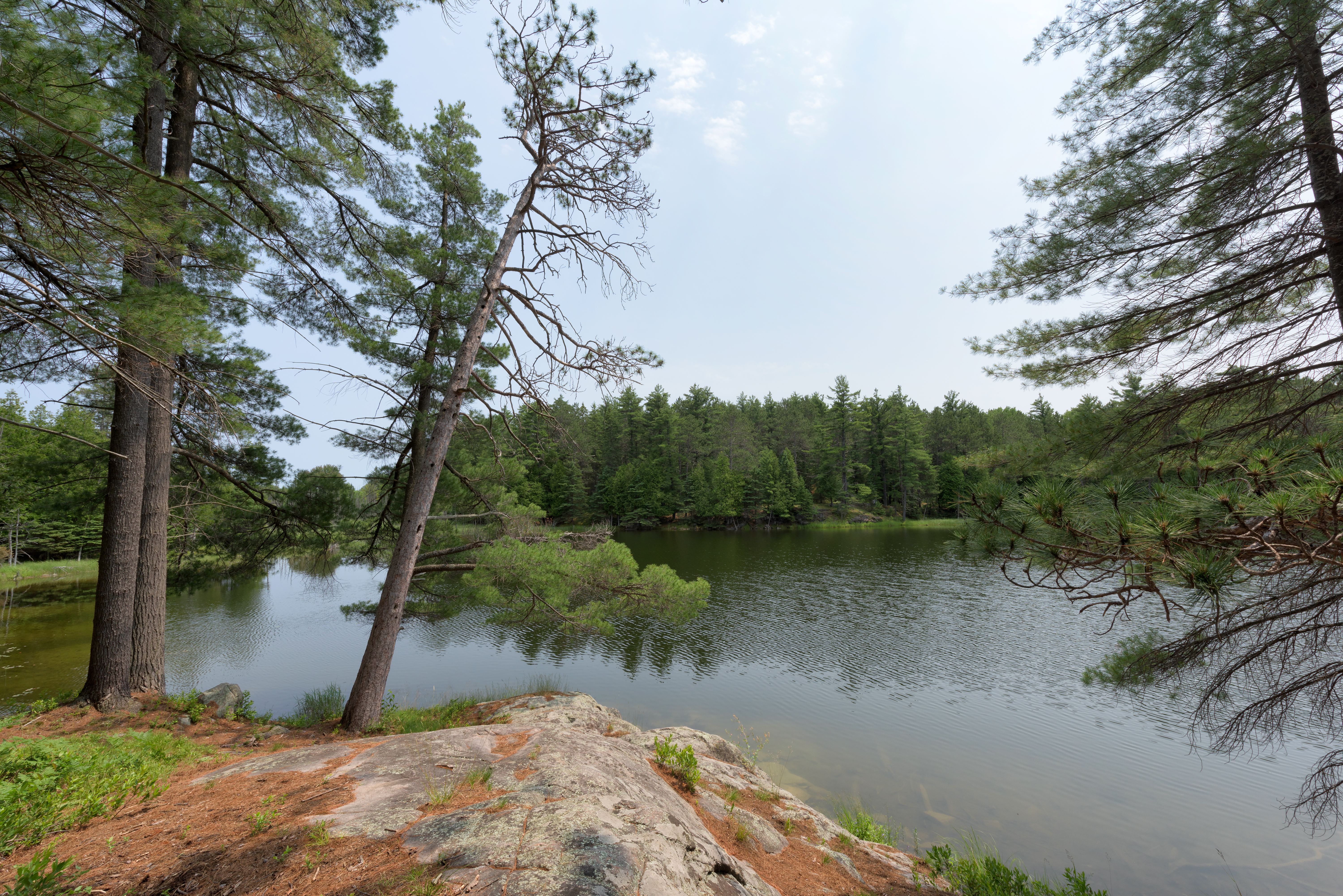
Related Photos:

in the gorge

Milky Way over Oak Lake

The Gut of Crowe River

the Gut

Stoney Lake sunset
Petroglyphs Provincial Park

Petroglyphs Provincial Park

Cordova Falls

off devil's 4 mile road

20140824-IMG_6954

Eels Creek 2014

Eels Creek 2014

Eels Creek 2014

Eels Creek 2014

Eels Creek 2016

Night at the Cottage

Eels Creek 2016

Eels Creek 2016

Eels Creek 2016

Eels Creek 2016

Eels Creek 2014

Eels Creek 2016

Eels Creek 2016
Topographic Map of Fire Rte 82D, Havelock, ON K0L 1Z0, Canada
Find elevation by address:

Places near Fire Rte 82D, Havelock, ON K0L 1Z0, Canada:
421 Fire Rte 82
Blue Mountain
260 Unimin Rd
Havelock-belmont-methuen
Jack Lake
Round Lake
Tangamong Lake
17 Gilmour Point Rd
Lake
721 Peterborough 504
716 Twelfth Line Dummer Rd
Apsley
Burleigh St, Harcourt, ON K0L, Canada
Chandos Lake
Woodview
655 Old Apsley Rd
North Kawartha
Stoney Lake
26 Potter Rd
2303 Barnes Ave
Recent Searches:
- Elevation of Shibuya Scramble Crossing, 21 Udagawacho, Shibuya City, Tokyo -, Japan
- Elevation of Jadagoniai, Kaunas District Municipality, Lithuania
- Elevation of Pagonija rock, Kranto 7-oji g. 8"N, Kaunas, Lithuania
- Elevation of Co Rd 87, Jamestown, CO, USA
- Elevation of Tenjo, Cundinamarca, Colombia
- Elevation of Côte-des-Neiges, Montreal, QC H4A 3J6, Canada
- Elevation of Bobcat Dr, Helena, MT, USA
- Elevation of Zu den Ihlowbergen, Althüttendorf, Germany
- Elevation of Badaber, Peshawar, Khyber Pakhtunkhwa, Pakistan
- Elevation of SE Heron Loop, Lincoln City, OR, USA