Elevation of Fir St, Malden, WA, USA
Location: United States > Washington > Whitman County > Malden >
Longitude: -117.48165
Latitude: 47.2267188
Elevation: 648m / 2126feet
Barometric Pressure: 94KPa
Elevation Map:
Satellite Map:
Related Photos:

As Heaven Reaches Down for You

the view from Rosalia, Wa

Milwaukee Road Rosalia 04
Milwaukee Road Rosalia 05

Milwaukee Road Rosalia 06
Clouds and Sun

Milwaukee Road Rosalia 03

Crested Hill

Bridge Pan

Hole In The Ground

Gloomy Harvest

Palouse Wind Power

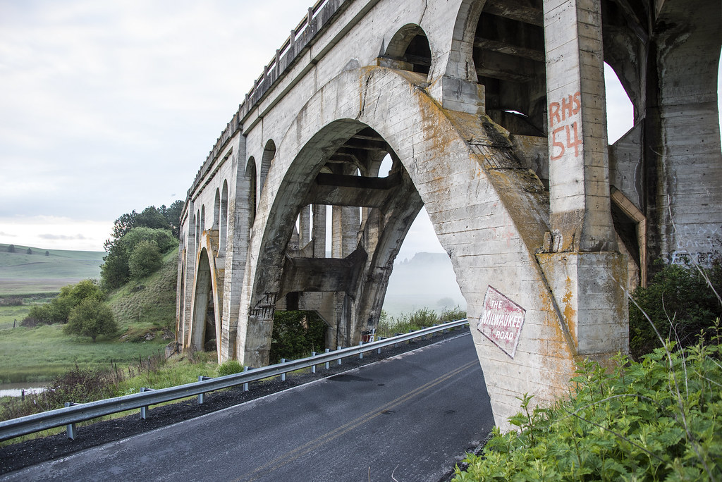
Rosalia Bridges

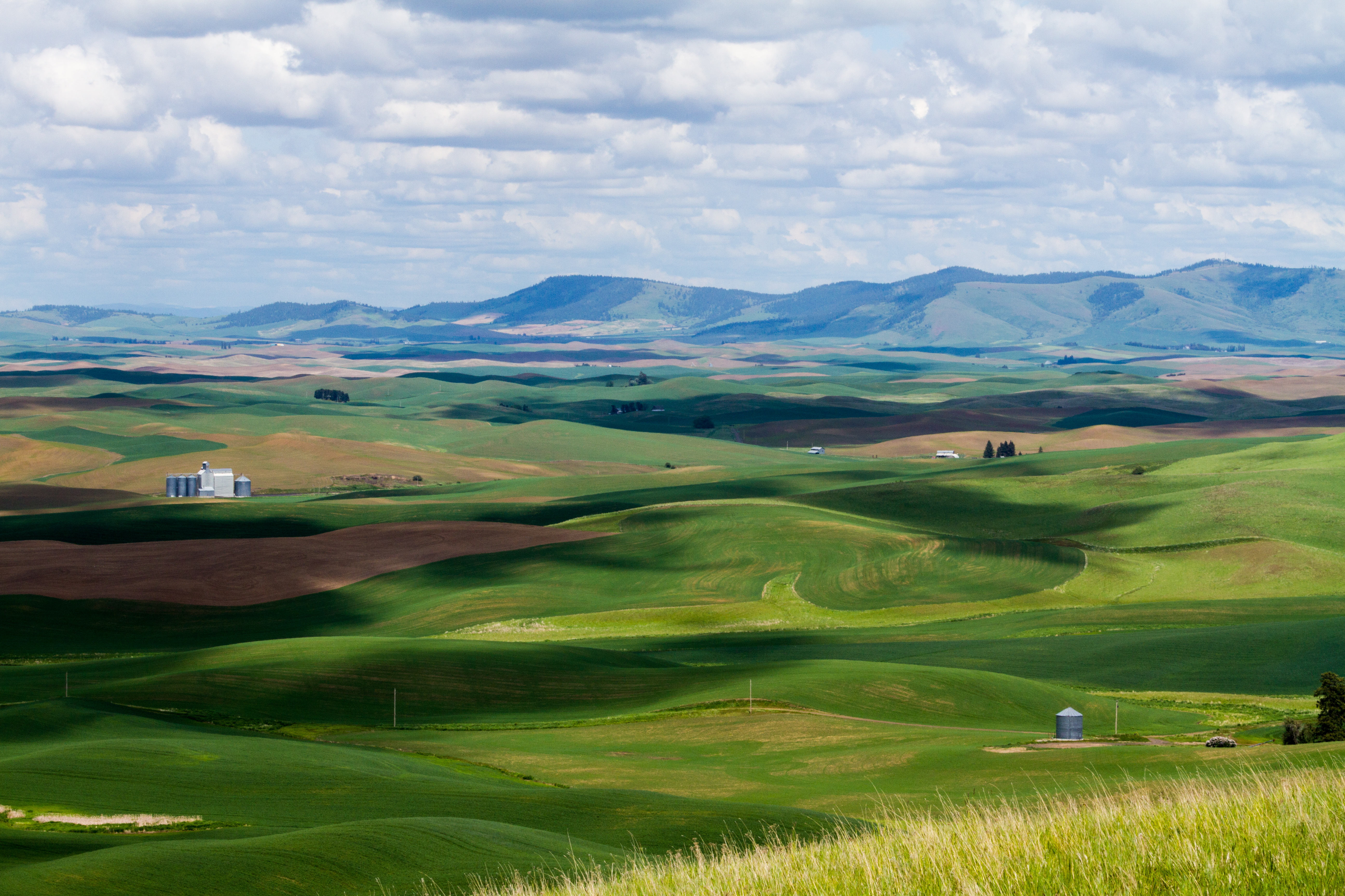
Palouse Landscape

Must have been practicing donuts

Palouse Bridge Pastoral

Shadowy Hill
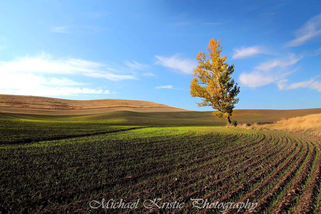
autumn tree

Wherever The Road Takes Me

ABANDONED MILW MAIN LINE, NEAR ROSALIA, WA 2012 (DAYLIGHTED TUNNEL 42)

Patchwork and Wind

Old truck

6-27-11 Rosalia,WA

Yellow and Blue
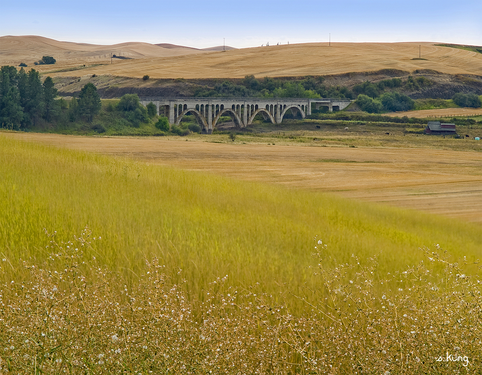
Palouse Trestle

Barren Hands Reach for the Sky

Green fields of Palouse

Crop Dusting
Topographic Map of Fir St, Malden, WA, USA
Find elevation by address:

Places near Fir St, Malden, WA, USA:
Malden City Hall
Malden
309 Bluebird St
309 Bluebird St
Pine City-malden Road
Rosalia
Thornton
24 E 4th St, Thornton, WA, USA
Saint John
S Jennings Ave, St John, WA, USA
West Jennings Road
Turnbull National Wildlife Refuge
Klinks Williams Lake Resort
West Jennings Road
Spangle
S Main St, Spangle, WA, USA
22202 S Frog Hollow Ln
Steptoe
S Mullinix Rd, Cheney, WA, USA
Oakesdale
Recent Searches:
- Elevation of South Yankee Meadow Road, Forest Road, Paragonah, UT, USA
- Elevation of SW Elderview Dr, Sherwood, OR, USA
- Elevation of Hickory St, Greenville, NC, USA
- Elevation of Poplar Ln, Guffey, CO, USA
- Elevation of Falling Spring Rd, Clyde, NC, USA
- Elevation of Kingsfield St, Castle Rock, CO, USA
- Elevation of AMELIA CT HSE, VA, USA
- Elevation of Abbey Dr, Virginia Beach, VA, USA
- Elevation of Brooks Lp, Spearfish, SD, USA
- Elevation of Panther Dr, Maggie Valley, NC, USA