Elevation of Ferris Peak, Stikine Region, BC V0W, Canada
Location: Canada > British Columbia > Atlin >
Longitude: -137.39416
Latitude: 58.9916666
Elevation: 2778m / 9114feet
Barometric Pressure: 72KPa
Elevation Map:
Satellite Map:
Related Photos:
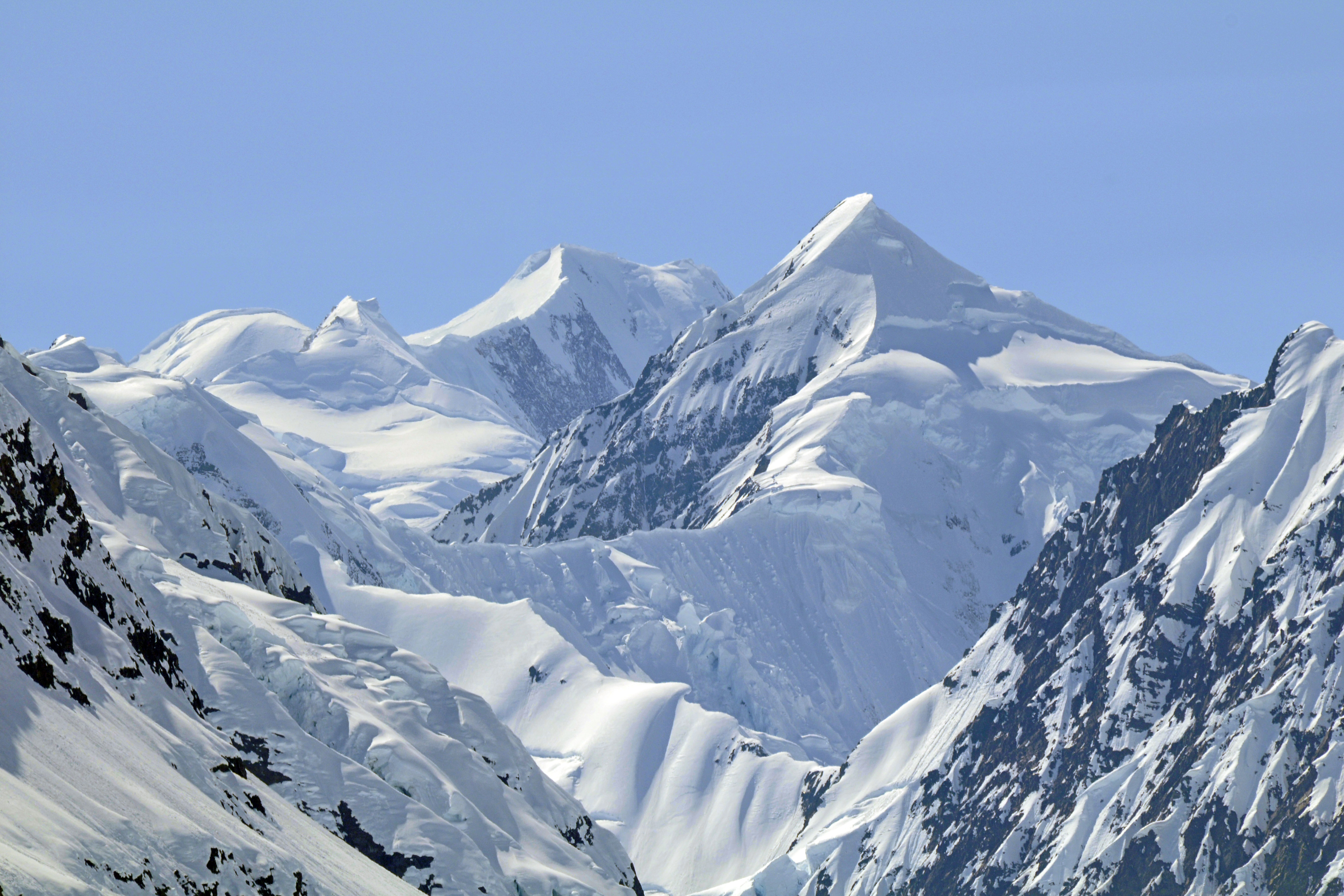
Snow capped mountains

margerie glacier
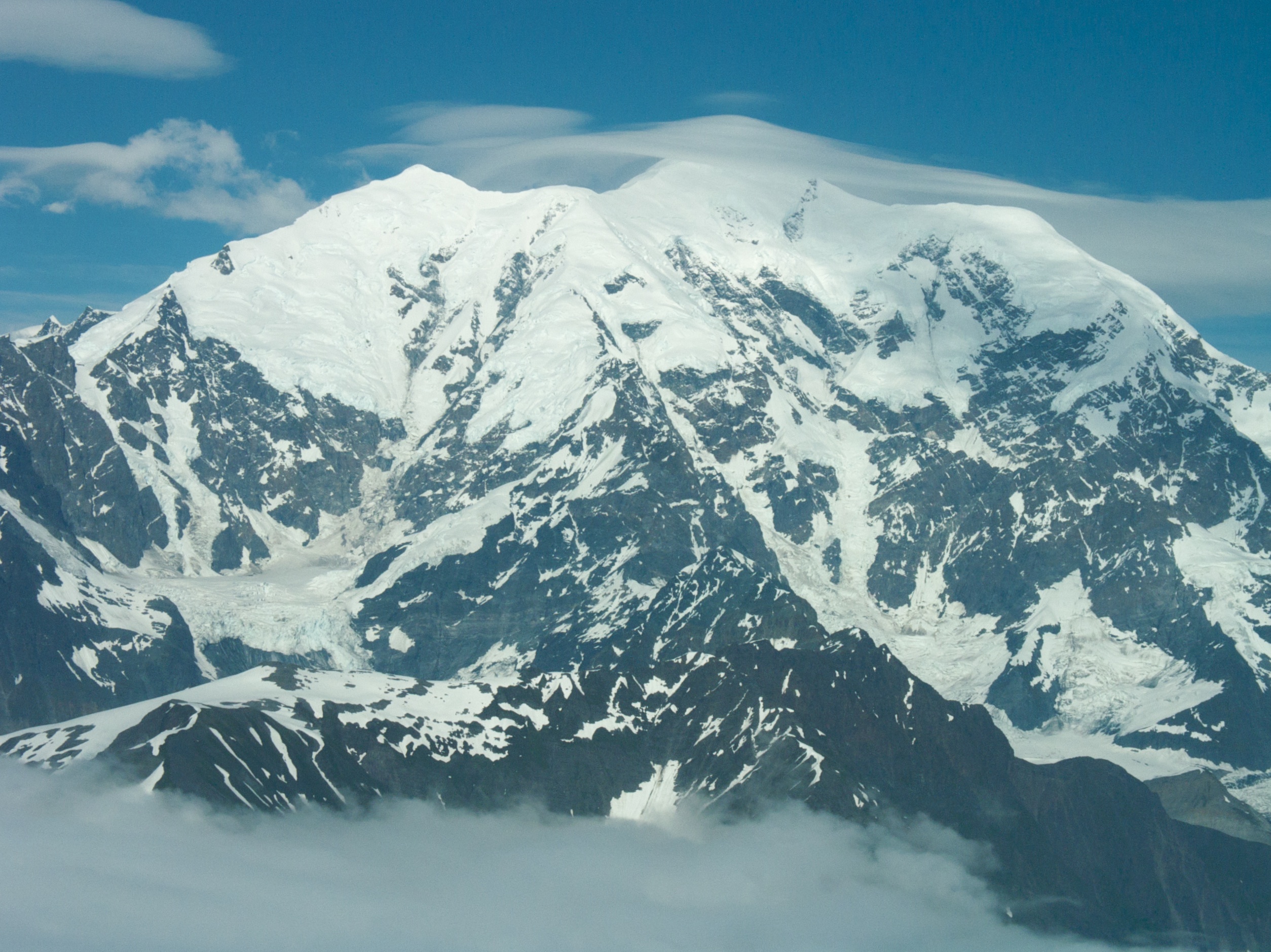
Mt Fairweather
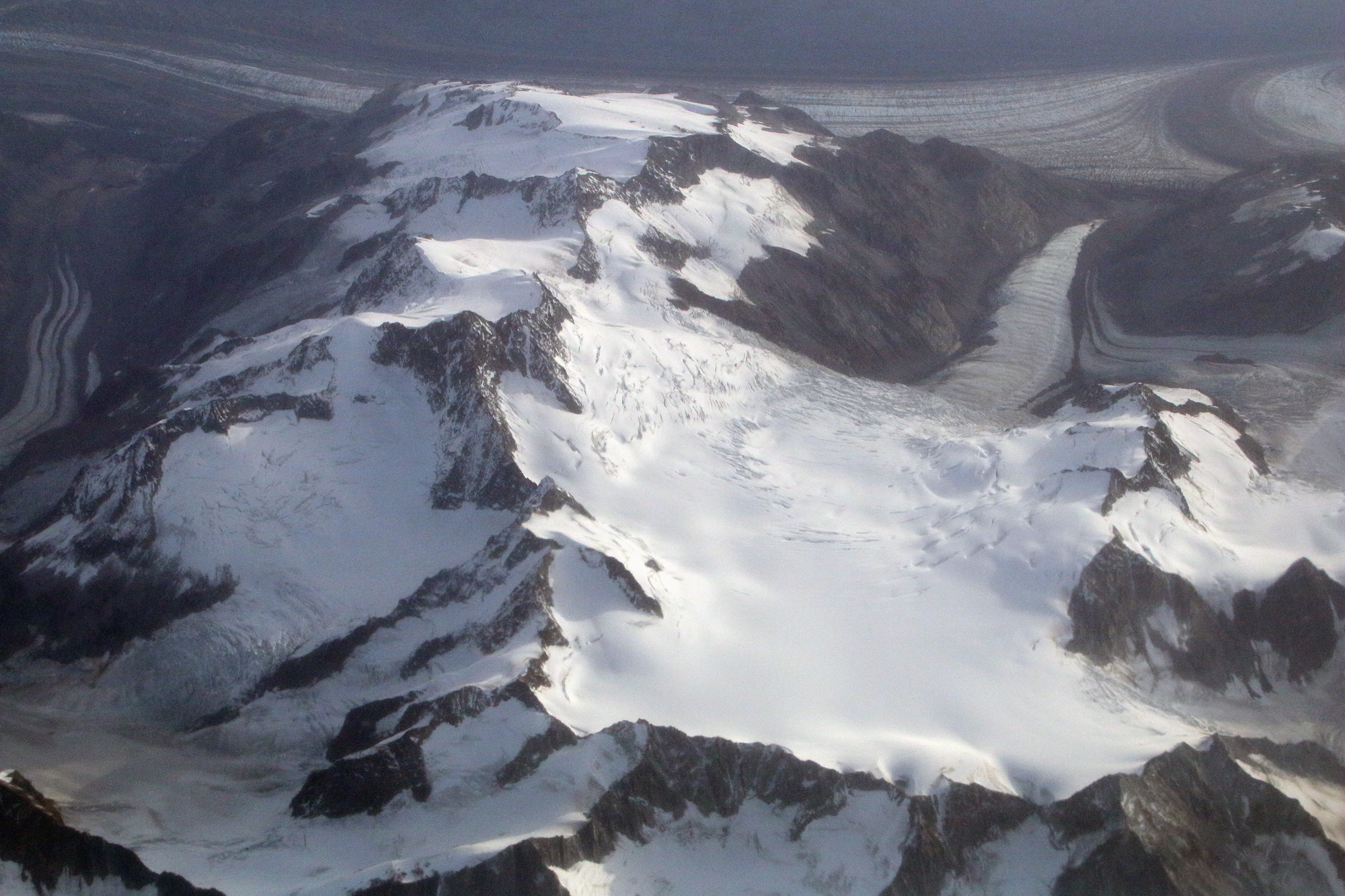
Canada/Alaska border
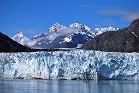
Margerie Glacier

Margerie Glacier
Topographic Map of Ferris Peak, Stikine Region, BC V0W, Canada
Find elevation by address:

Places near Ferris Peak, Stikine Region, BC V0W, Canada:
Mount Tlingit
Fairweather Ne3
Little Debbie
Mount Salisbury
Mount Watson
Mount Fairweather
Mount Sabine
Mount Crillon
East Crillon
Mount Bertha
Mount La Perouse
East La Perouse
Glacier Bay National Park And Preserve
Recent Searches:
- Elevation of Elwyn Dr, Roanoke Rapids, NC, USA
- Elevation of Congressional Dr, Stevensville, MD, USA
- Elevation of Bellview Rd, McLean, VA, USA
- Elevation of Stage Island Rd, Chatham, MA, USA
- Elevation of Shibuya Scramble Crossing, 21 Udagawacho, Shibuya City, Tokyo -, Japan
- Elevation of Jadagoniai, Kaunas District Municipality, Lithuania
- Elevation of Pagonija rock, Kranto 7-oji g. 8"N, Kaunas, Lithuania
- Elevation of Co Rd 87, Jamestown, CO, USA
- Elevation of Tenjo, Cundinamarca, Colombia
- Elevation of Côte-des-Neiges, Montreal, QC H4A 3J6, Canada