Elevation of Ferniehurst, New Zealand
Location: New Zealand > Canterbury >
Longitude: 173.326668
Latitude: -42.632073
Elevation: 87m / 285feet
Barometric Pressure: 100KPa
Elevation Map:
Satellite Map:
Related Photos:

Late Winter in the Southern Alps

Day trip to Kaikoura
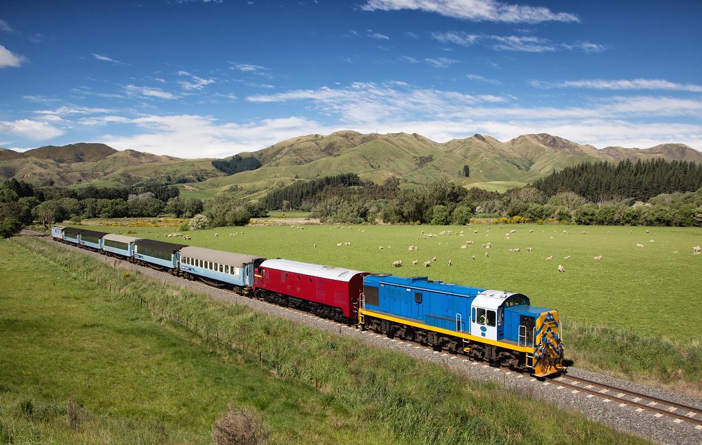
DJ1209 at Parnassus
K3-060316-033
K3-060316-032

Ice and Grit Roadsign

Kaikoura Coastal Walk

Day trip to Kaikoura
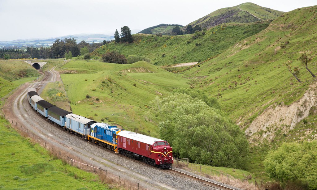
Dg772 at Parnassus

Day trip to Kaikoura

Day trip to Kaikoura
New Zealand Roadside Panorama
A leap into the past
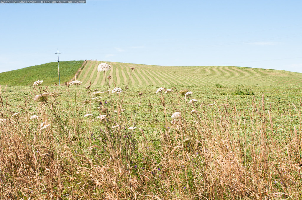
Claverley Lettuce fields being prepared

Kaikoura Coastal Walk

Kaikoura Coastal Walk

Kaikoura Coastal Walk
_D604525.jpg
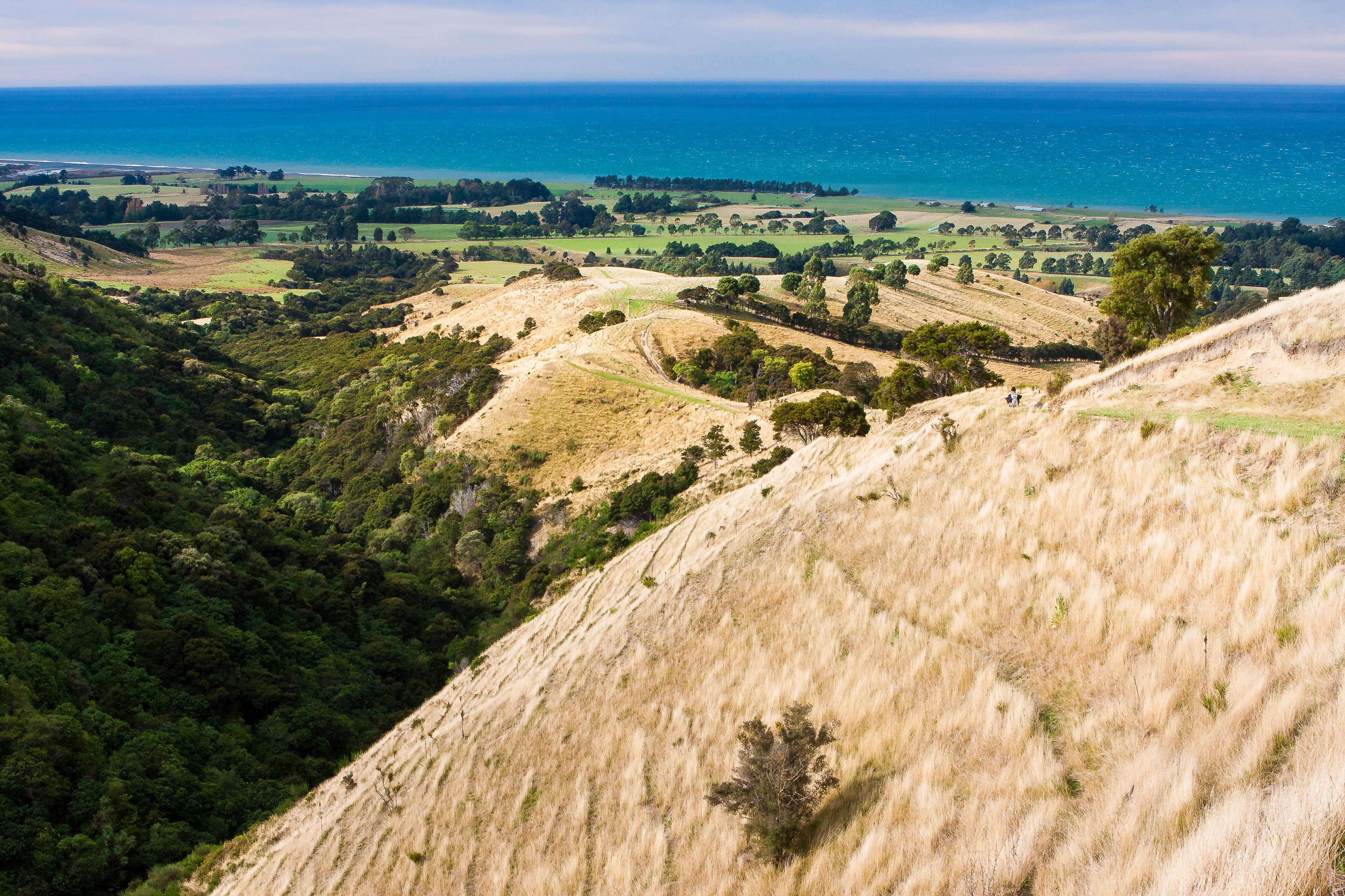
Kaikoura Costal Track

Claverley Lettuce fields being prepared
Kaikoura, New Zealand
Topographic Map of Ferniehurst, New Zealand
Find elevation by address:

Places in Ferniehurst, New Zealand:
Places near Ferniehurst, New Zealand:
Hundalee
Hundalee Road
341 Hundalee Road
51 Deer Park Road
Cheviot
Stag And Spey
Lyford
Mt Lyford Alpine Resort
Dillon Cone
Kaikoura District
Manakau
Mangamaunu
Recent Searches:
- Elevation of Foligno, Province of Perugia, Italy
- Elevation of Blauwestad, Netherlands
- Elevation of Bella Terra Blvd, Estero, FL, USA
- Elevation of Estates Loop, Priest River, ID, USA
- Elevation of Woodland Oak Pl, Thousand Oaks, CA, USA
- Elevation of Brownsdale Rd, Renfrew, PA, USA
- Elevation of Corcoran Ln, Suffolk, VA, USA
- Elevation of Mamala II, Sariaya, Quezon, Philippines
- Elevation of Sarangdanda, Nepal
- Elevation of 7 Waterfall Way, Tomball, TX, USA