Elevation of Fern Rd, Whitmore, CA, USA
Location: United States > California > Shasta County > Whitmore >
Longitude: -121.87765
Latitude: 40.673356
Elevation: 853m / 2799feet
Barometric Pressure: 91KPa
Elevation Map:
Satellite Map:
Related Photos:

Fairytale Land [03.30.13]

Kilarc Reservoir
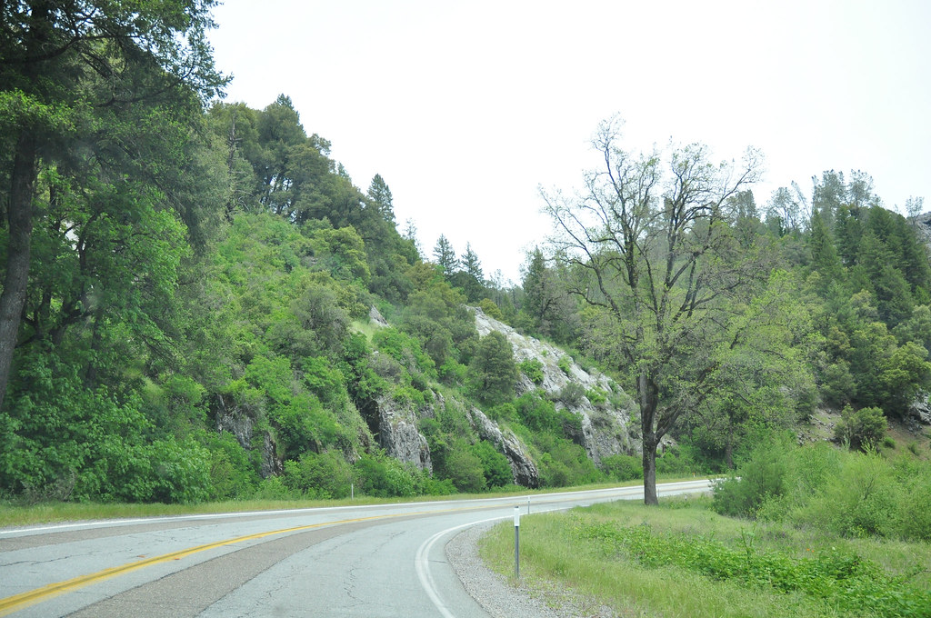
Route 299
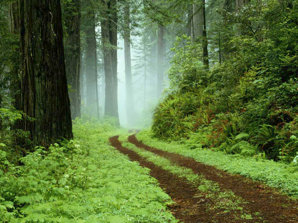
A forest path in Redwoods State Park, California.

A forest path in Redwoods State Park, California.

Sandhill Skipper

Sandhill Skipper

Boisduval's Blue

_8210034.NEF

Secret Turkey Spot- decoy in place
Ott-Stahl
Topographic Map of Fern Rd, Whitmore, CA, USA
Find elevation by address:

Places near Fern Rd, Whitmore, CA, USA:
12855 Fern Rd
12645 Fern Rd
31625 Grindlay Rd
14681 Fern Rd E
30057 Rl Smith Logging Rd
30057 Smith Logging Rd
30057 Smith Logging Rd
30057 Smith Logging Rd
11870 Atkins Rd
Whitmore
11559 Emerald Woods Ln
15333 Emerald Woods Ln
15333 Emerald Woods Ln
12847 Fern Rd
14788 Phillips Rd
30303 Fremont Way
30303 Fremont Way
11710 Notta Rd
15130 Sherwood Forest Rd
15130 Sherwood Forest Rd
Recent Searches:
- Elevation of Rojo Ct, Atascadero, CA, USA
- Elevation of Flagstaff Drive, Flagstaff Dr, North Carolina, USA
- Elevation of Avery Ln, Lakeland, FL, USA
- Elevation of Woolwine, VA, USA
- Elevation of Lumagwas Diversified Farmers Multi-Purpose Cooperative, Lumagwas, Adtuyon, RV32+MH7, Pangantucan, Bukidnon, Philippines
- Elevation of Homestead Ridge, New Braunfels, TX, USA
- Elevation of Orchard Road, Orchard Rd, Marlborough, NY, USA
- Elevation of 12 Hutchinson Woods Dr, Fletcher, NC, USA
- Elevation of Holloway Ave, San Francisco, CA, USA
- Elevation of Norfolk, NY, USA